Hiking the Makapuʻu Point Lighthouse Trail on Oʻahu, Hawaiʻi
Distance (Roundtrip): 2.4 miles / 3.9 km
Elevation Gain: ~475 ft. / 145 m
The Makapuʻu Point Lighthouse Trail on the east side of Oʻahu is a popular day hike among both locals and visitors alike, because of its stunning panoramic views that begin shortly after leaving the trailhead and continue all the way to the historic Makapuʻu Lighthouse, perched on the cliffs at the summit!
On top of this, the Makapuʻu Point Lighthouse Trail is also renowned as one of the best and easiest sunrise hikes on Oʻahu, on account of the expansive east-facing views from the upper half of the trail that can be reached in a relatively short amount of time, as the entirety of the trail to the summit is paved!
All this to say, the Makapuʻu Lighthouse Trail is one of the best kid-friendly trails on Oʻahu, and if you’re interested in learning about even more great hikes to do with young kids on the island, I highly recommend checking out my separate article linked below.
Read My Separate Post: Best Kid-Friendly Hikes on Oʻahu
Makapuʻu Lighthouse Shuttle
If you don’t have transportation or would like to learn about the hike from a guide, I highly recommend booking the tour below. This is easily the cheapest shuttle to the Makapuʻu Lighthouse Trail, and the tour provides roundtrip transportation from your hotel in Waikīkī.
Additionally, one of my favorite things about booking through Viator is the reserve-now-and-pay-later option. As long as you’re booking more than three days in advance, you have the option to book ahead and cancel in the future if you change your mind.
Makapuʻu Point Lighthouse Trailhead Parking
Parking for the Makapuʻu Lighthouse Trail is located in a paved parking lot off Kalanianaʻole Highway in east Honolulu.
Before arriving, know that parking can be difficult to find on any given day of the week, because the Makapuʻu Lighthouse Trail is so popular. This is especially true during the midday hours and on weekends, which often means the only available parking is out along the highway.
Furthermore, sunrise is a great way to avoid both the crowds and the heat on the exposed Makapuʻu Lighthouse Trail, but know that the gate doesn’t open until 7 a.m., which is not early enough to make it up the trail in time to see the sunrise—meaning that sunrise hikers will also need to find parking out along Kalanianaʻole Highway.
Out of caution, consider the Makapuʻu Point Lighthouse Trailhead to be a high-crime area for petty theft, meaning you should never leave visible bags or anything valuable in your car.
Google Maps Directions: Makapuʻu Point Lighthouse Trailhead
My Hawaiʻi Hiking Checklist
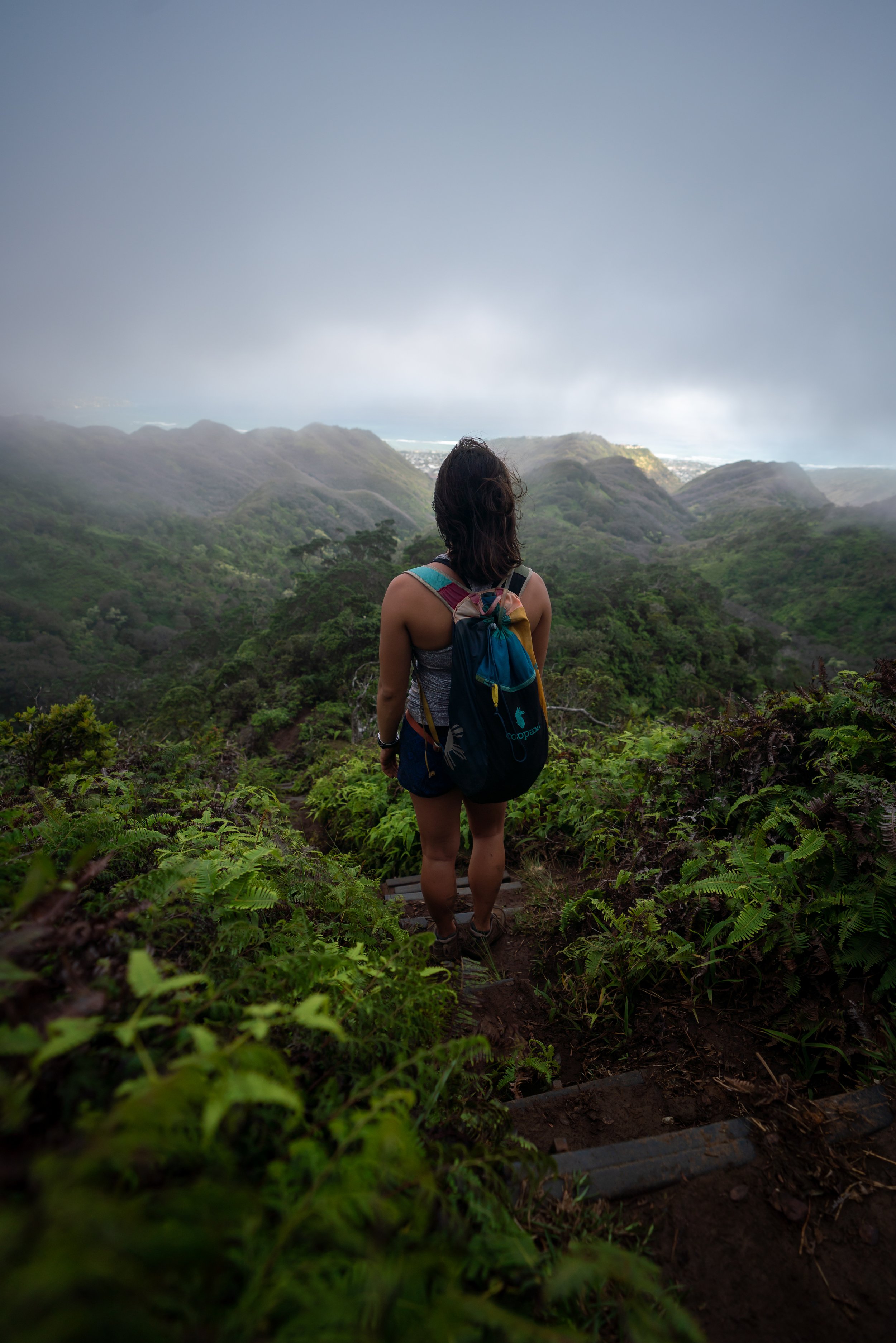
Hiking the Makapuʻu Point Lighthouse Trail
The Makapuʻu Point Lighthouse Trail begins on the paved path at the far southern end of the parking lot, which it will follow for the entire length of the hike to the lookout, a little over 1.2 miles (1.9 km) away.
Makapuʻu Point Lighthouse-Kaʻiwi Shoreline Junction
Almost immediately after beginning the Makapuʻu Lighthouse Trail, the paved path will split with a dirt path heading downhill toward the water.
This is the northern trailhead for the Kaʻiwi Shoreline Trail, and it’s one of two trailheads that hikers can begin on the Kaʻiwi Coast. The other is located at Kaloko Beach just down the road.
Furthermore, this Kaʻiwi Shoreline Trailhead is the fastest and most direct route to Alan Davis Beach—the most popular destination along the Kaʻiwi Coast—about 0.25 miles (0.4 km) away from this point.
However, to stay on the Makapuʻu Lighthouse Trail, go straight to continue hiking up the paved path.
Read My Separate Post: Kaʻiwi Shoreline Trail
After the Kaʻiwi Shoreline junction, the Makapuʻu Lighthouse Trail begins climbing up to Makapuʻu Point, where it gains about 475 ft. (145 m) of elevation from the trailhead to the lookout at the top.
That said, this first half of the hike, to the second viewpoint just after Puʻu ʻOkīpahulu, is often considered the most challenging half because there are very few flat areas—not to mention that the ridge on the left blocks much of Hawaiʻi’s trade winds, making this stretch particularly hot—especially in the summer!
This is the view looking south toward the Koko Crater Rim and the Koko Crater Botanical Garden, on the inside of the volcanic crater.
If there’s one thing I hope these photos show more than anything else, it’s that there’s essentially no shade on the Makapuʻu Point Lighthouse Trail.
This is why I highly recommend hiking the trail in a hooded sun shirt, which is even more important if you plan to extend your day by hiking the Kaʻiwi Shoreline Trail down to Alan Davis Beach.
There aren’t many native plants along the Kaʻiwi Coast, as the majority of the landscape is dominated by non-native trees and grasses, but if you look on the uphill side of the Makapuʻu Trail, there are a few to find along these rocky ledges, like this Abutilon and ʻUhaloa.
Puʻu ʻOkīpahulu
When the Makapuʻu Lighthouse Trail reaches this sharp bend to the north, the steepest parts of the hike are behind you!
In addition, this bend around Puʻu ʻOkīpahulu is where hikers can begin to see Molokai, Maui, and Lānaʻi on a clear day!
That said, differentiating between the islands in Maui County can be difficult if you aren’t familiar, as the Molokai Sea Cliffs are often confused for Haleakalā on Maui, since they are closer to Oʻahu. However, there is a diagram at the next viewpoint that I recommend checking out to help you understand exactly what you’re seeing.
This second viewpoint is roughly the halfway point on the hike up to the Makapuʻu Point Lookout, and it’s the spot mentioned earlier where hikers can find a detailed photo outlining the view looking east toward Maui County.
This is the view looking east at what is mostly Molokai in the photo below.
The Molokai Sea Cliffs and mountains form the tall, shaded outline on the left side of the island, and if Maui were visible in this photo, it would appear over the lower elevations on Molokai that make up the right side of the image.
After the halfway point, the Makapuʻu Lighthouse Trail continues to gain elevation, but this is where the trade winds often begin to make the hike much more comfortable compared to the beginning!
Makapuʻu Point Lighthouse-Makapuʻu Tide Pools Junction
With about 0.4 miles (0.6 km) left before the end, the Makapuʻu Point Lighthouse Trail passes this little-known junction for the Makapuʻu Tide Pools Trail.
I say 'little-known' because the vast majority of hikers only discover the coastal tide pools below after hiking up to this point, simply by looking over the cliffside.
Warning
That said, if you were not prepared to hike down to the tide pools, I recommend against leaving the paved Makapuʻu Lighthouse Trail, as the Tide Pools Trail is a very steep, loose, and rocky adventure that is far more challenging than the paved trail up to the lighthouse.
In addition, the Makapuʻu Tide Pools Trail is exceptionally hazardous because of the open ocean swell that crashes into the coastline, creating huge waves that break over the edge, which has unfortunately resulted in very serious injuries and fatal accidents in the past.
I write all this to say, you accept full personal and legal responsibility if you decide to leave the paved, maintained trail up to Makapuʻu Point.
Read My Separate Post: Makapuʻu Tide Pools Trail
After the Makapuʻu Tide Pools junction, the Makapuʻu Point Lookout will start to become visible on the ridge in the distance!
The little peak on the right side of the photo below is the Makapuʻu Point Lookout and the end of the Makapuʻu Lighthouse Trail.
Similar to the first half of the hike, more native plants can be found growing along the uphill side of the trail, but on the windward side of the ridge, the plant community shifts to reflect a more coastal landscape, like this ʻIlima along with others such as Pāʻū o Hiʻiaka.
Makapuʻu Point-Makapuʻu Lighthouse Junction
This split is for the path that leads down to the lighthouse located below the Makapuʻu Point Lookout just ahead.
That said, it’s not a path I recommend following unless you’re interested in getting a closer view of the lighthouse, which I say because there is no up-close access to the lighthouse. Rather, this path simply leads to a gate that keeps hikers from actually reaching it.
In any case, go straight (left) at this split to continue up to the viewpoint, about 0.2 miles (0.3 km) away.
Lower Makapuʻu Point-Koʻolau Summit (KST) Junction
With about 0.1 miles (0.2 km) left before the lookout, the Makapuʻu Point Trail passes another path that leads down to the lighthouse. However, I think it’s worth noting that this path and these next few steps along the paved trail are part of the Koʻolau Summit Trail—a cross-island hike that begins in Pūpūkea on the North Shore of Oʻahu and ends here at the Makapuʻu Lighthouse, the southern terminus.
I guess I could say congratulations! The next 300 ft. (91 m) or so on the Makapuʻu Lighthouse Trail follow the same path as Hawaiʻi’s hardest trail!
That said, the extensive, remote miles of the Koʻolau Summit Trail are not something I would ever recommend to someone visiting Oʻahu, and I don’t write this to challenge you.
It’s harder and more dangerous than 99.9% of any mainland adventure you can think of, and that largely reflects what hiking Oʻahu’s remote, crumbly, hairline ridges is actually like.
In any case, this path down to the right simply connects with the previous split shown above, but to continue up to Makapuʻu Point, go straight at this split.
Read My Separate Post: Koʻolau Summit Trail (KST)
In my opinion, this view of the Makapuʻu Lighthouse is actually better than the view from the upper lookout just around the corner.
Upper Makapuʻu Point-Koʻolau Summit (KST) Junction
When the Makapuʻu Lighthouse Trail reaches the next split, the KST branches away to head up and over the adjacent peak before descending to Kalanianaʻole Highway and on to begin a very arduous 56.0-mile (90.1 km) one-way journey up to Pūpūkea.
However, once again, go straight (right) to stay on the paved path toward the lookout just a few steps ahead!
Read My Separate Post: Koʻolau Summit Trail (KST)
Makapuʻu Point Lookout
This is where the Makapuʻu Lighthouse Trail reaches the Makapuʻu Point Lookout—a multi-tiered overlook with three main viewing platforms, where hikers can see much of the east side of Oʻahu.
This is the lowest of the three platforms at Makapuʻu Point.
This is the middle platform at Makapuʻu Point.
Makapuʻu Point
This is the uppermost platform at Makapuʻu Point, and it’s the only one where the lighthouse can be seen from above.
Furthermore, the view looking across east Oʻahu faces west/ northwest up the spine of the Koʻolau Mountain Range toward notable places like Makapuʻu Beach, Waimānalo, Mt. Olomana, Kailua, and on the clearest of days, Mokoliʻi near Kualoa Ranch can be seen far in the distance!
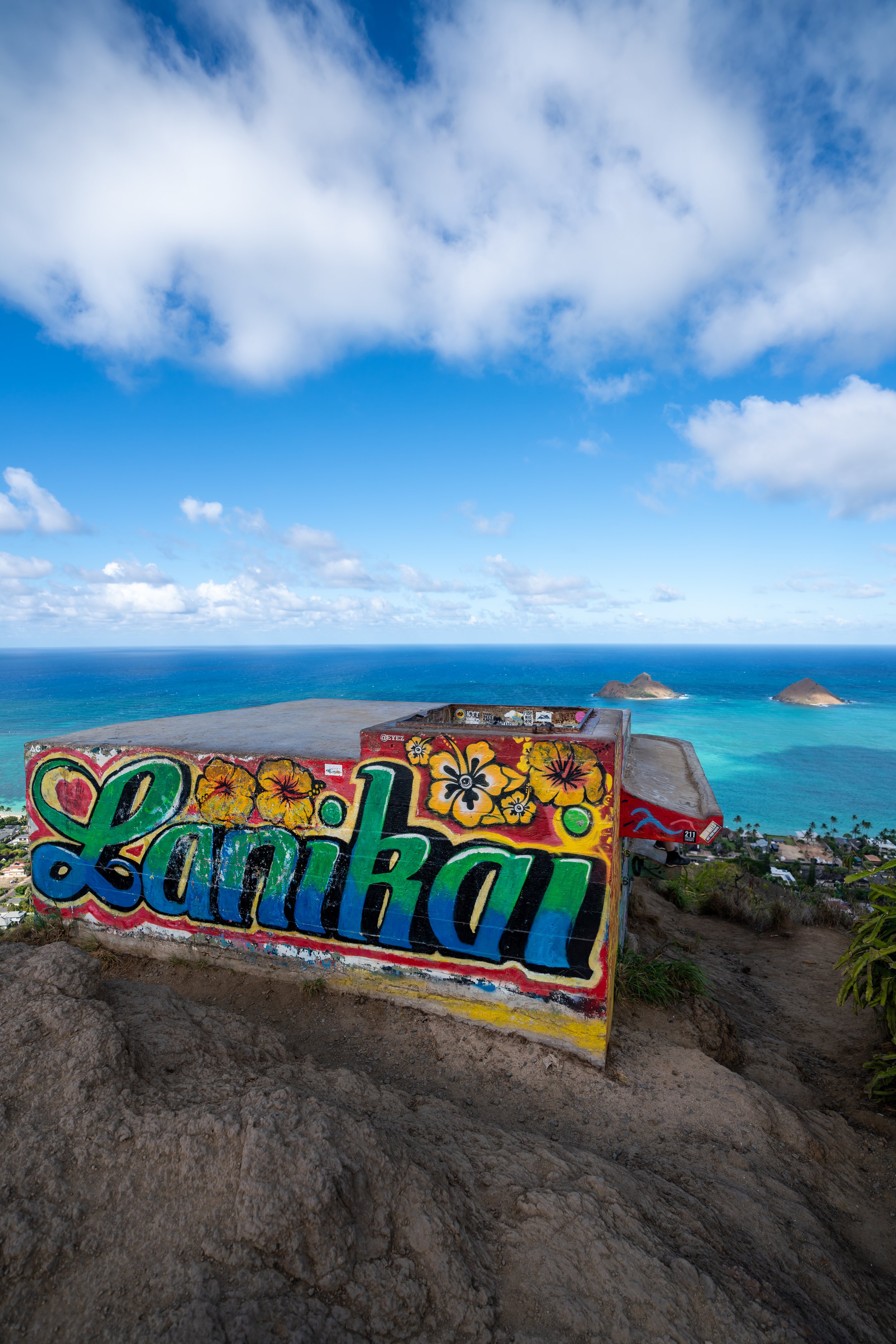
As for the islands just off Makapuʻu Point, the closest is called Kāohikaipu, and the one beyond that is Mānana. Both are closed to the public, unlike the Mokulua Islands that can be seen in the distance off Lanikai Beach.
That said, if you are interested in visiting the two beautiful islands that can be seen beyond these closest two, I recommend reading the next section below, as planning both the Makapuʻu Lighthouse Trail and a kayak tour to the Mokulua Islands is a great way to spend a full day on Oʻahu’s east side!
Kayaking to the Mokulua Islands
The two islands beyond the ones closest to Makapuʻu Point are accessible to the public by kayak only.
Kayaks can easily be reserved using the links below, which make for great options if you are visiting Oʻahu so that you don’t have to worry about transporting a kayak to and from the beach.
Additionally, one of my favorite things about booking through Viator is the reserve-now-and-pay-later option. As long as you’re booking more than three days in advance, you have the option to book ahead and cancel in the future if you change your mind.
Native Plants on the Makapuʻu Point Lighthouse Trail
The Makapuʻu Lighthouse Trail—and all of the Kaʻiwi Coast, for that matter—is a heavily invaded coastline covered in non-native, invasive trees, such as Koa Haole and Fountain Grass.
However, there are a number of native plants that can be seen on the short hike up, including numerous species of Maʻo, ʻUhaloa, ʻAeʻae, Milo, Kou, Pāʻū o Hiʻiaka, ʻAʻaliʻi, and ʻIlima, to name just a few.
If you would like to learn more about these and many other native Hawaiian plants from across the islands, I encourage you to check out my separate post linked below.
Read My Separate Post: Native Hawaiian Plant Guide