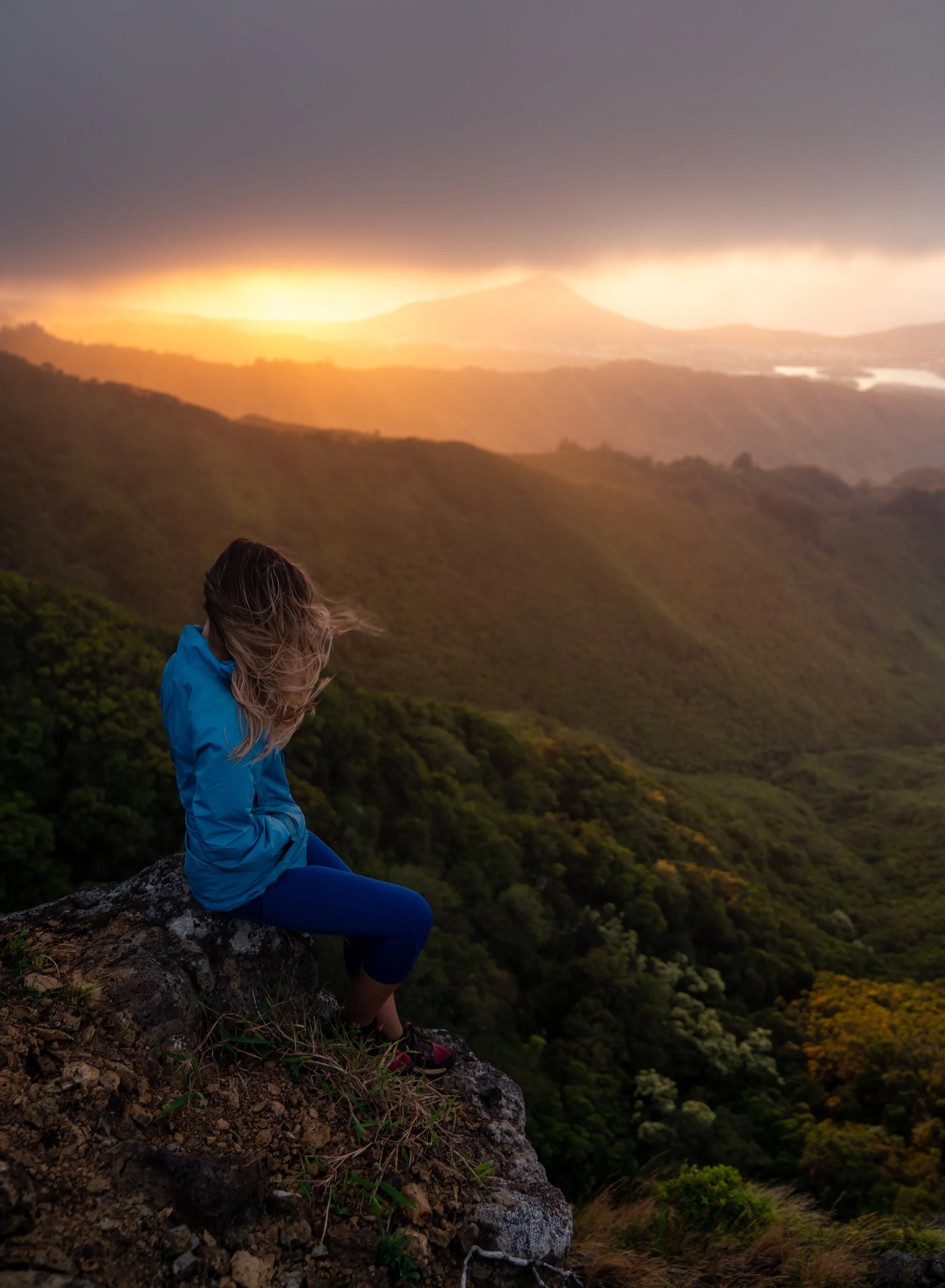
Hiking the Kalauao Falls Loop Trail on Oʻahu, Hawaiʻi
Distance: 5.6 miles / 9.1 km
The Kalauao Falls Trail, also called the Kalauao Falls Loop Trail because of the loop that can be created, is a little-known Oʻahu secret off the popular ʻAiea Loop Trail.
That said, Kalauao Falls can most similarly be compared to the Waimano Pools off the Mānana Ridge Trail, as the two waterfall trails are not maintained by the state, which upkeeps the trails that lead to both.
However, the Kalauao Falls Loop Trail is more difficult than both Waimano Falls and the ʻAiea Loop Trail because of the steep trails, both in and out of the Kalauao Stream, to get to the secret swimming hole!
This is all to say that only those who are up for the long, steep, and remote adventure should attempt to hike to Kalauao Falls, as it is certainly not comparable to most other waterfall adventures on the island, like the Lulumahu Falls Trail.
Kalauao Falls Trailhead Parking
Parking for the Kalauao Falls Loop is located in the same parking lot for the upper half of the ʻAiea Loop Trail in the Keaīwa State Recreation Area.
Google Maps Directions: Kalauao Falls Trailhead
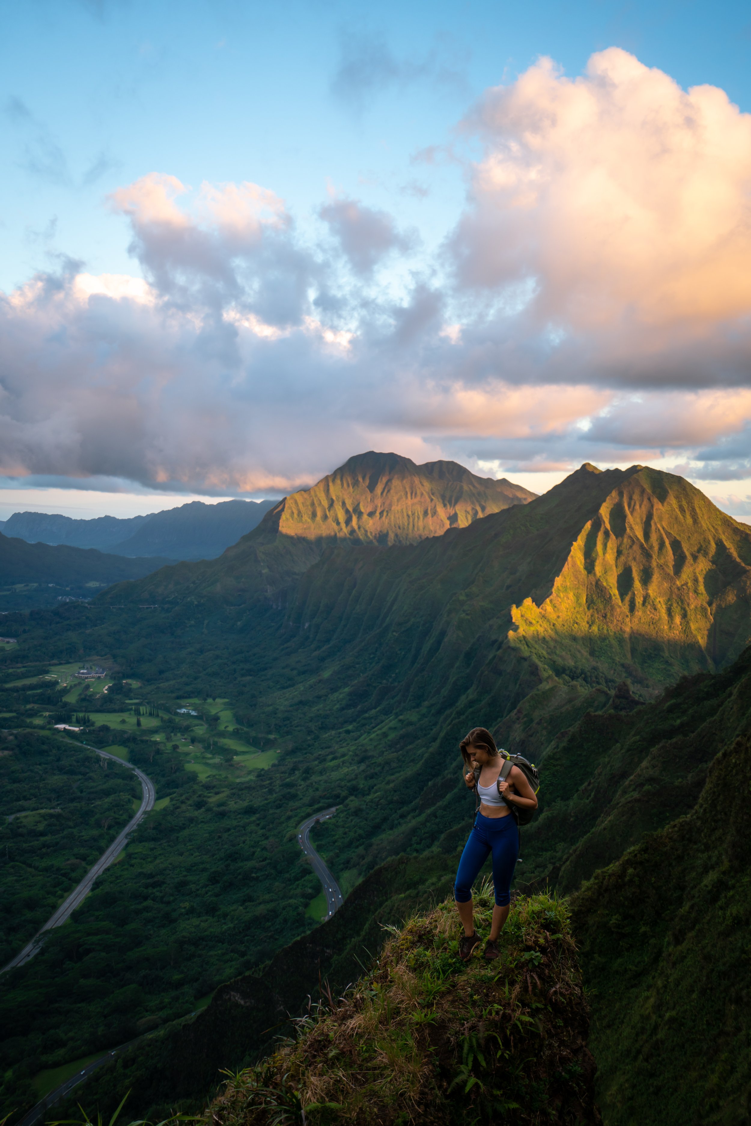
Hiking the Kalauao Falls Loop Trail
The Kalauao Falls Trail starts off on the upper ʻAiea Loop Trail for the first 0.4 miles (0.6 km).
ʻAiea Loop-Kalauao Falls Junction
After 0.4 miles (0.6 km), there will be an unmarked trail on the left that is the start of the Kalauao Falls Loop Trail.
Read My Separate Post: ʻAiea Loop Trail
The hike down starts off very gradually until the loop makes the turn for the Kalauao Stream, 0.6 miles (1.0 km) from the junction above.
Kalauao Falls Junction
After 0.6 miles (1.0 km), turn right on the split for the Kalauao Stream.
The trail heading straight from this junction simply leads out to a private neighborhood that has a number of "No Parking/ Tow Away" signs, so that hikers don't start there.
The trail down to the Kalauao Stream is very steep for nearly the entire descent.
Kalauao Stream
Once down at the stream, turn right for Kalauao Falls.
There will be a number of stream crossings that will go on for a little more than 1.0 miles (1.6 km) before reaching Kalauao Falls.
Kalauao Falls
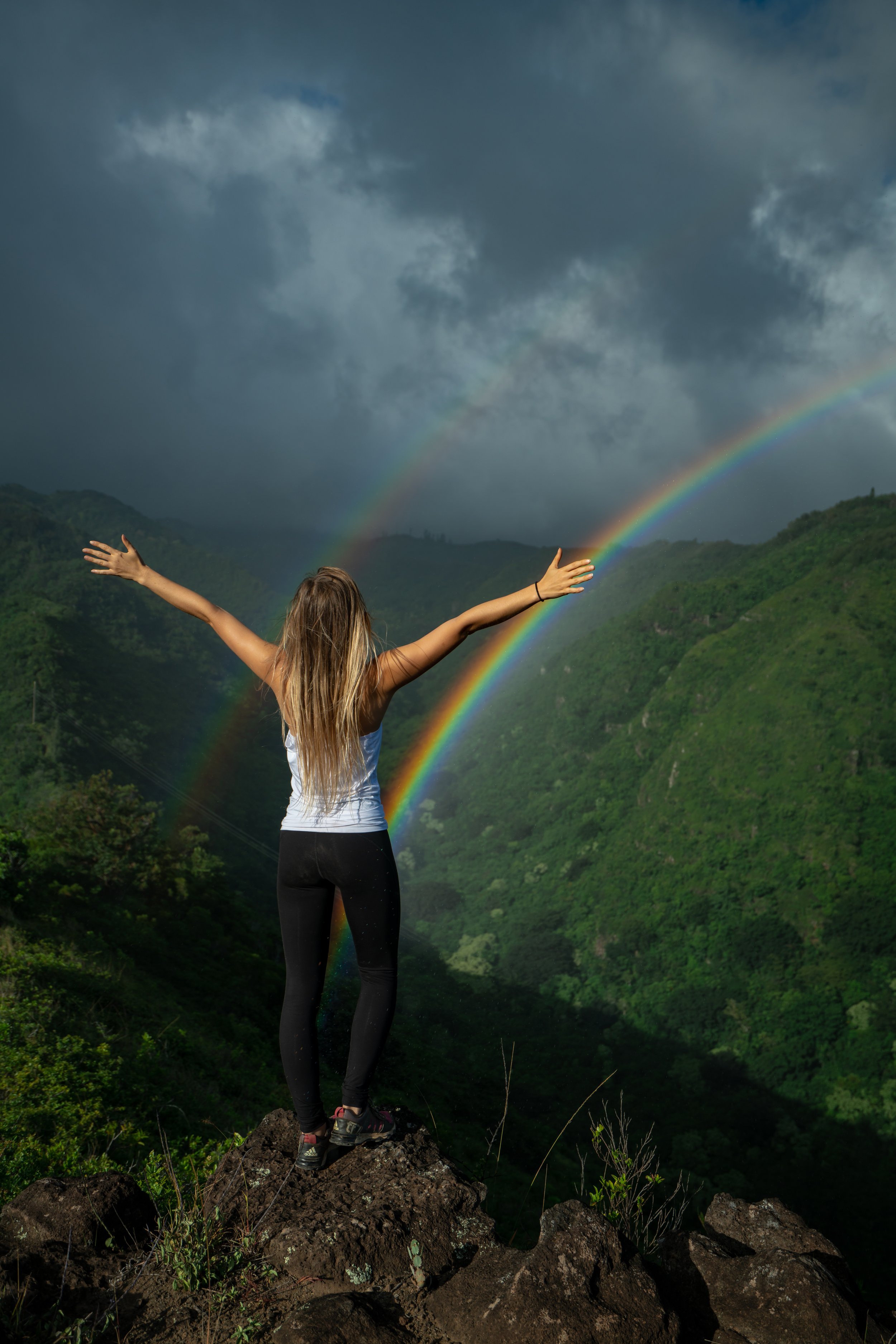
The Kalauao Stream is rain-fed, meaning that it isn’t flowing like it is in these photos at all times of the year.
Warning
Even though it’s best to hike Kalauao Falls after recent rain across central Oʻahu, too much rain can make the many stream crossings dangerous/ impassable.
Additionally, if it’s raining heavily while you’re down in the gulch, the Kalauao Stream can be a high flash flood risk. Since the upper and lower trails are more than 1.5 miles (2.4 km) apart, it could be very easy to get stuck somewhere in between if the stream were to swell.
The trail continues around Kalauao Falls on the left side.
If you are considering jumping from the side of the falls, always check the pool for rocks and branches. Kalauao Falls is not as trafficked as other waterfalls, like the Waimano Pools, meaning that conditions can change without warning during periods of wet weather.
Past Kalauao Falls, there are a handful more stream crossings before the loop begins to climb back out of the stream to the ʻAiea Loop Trail.
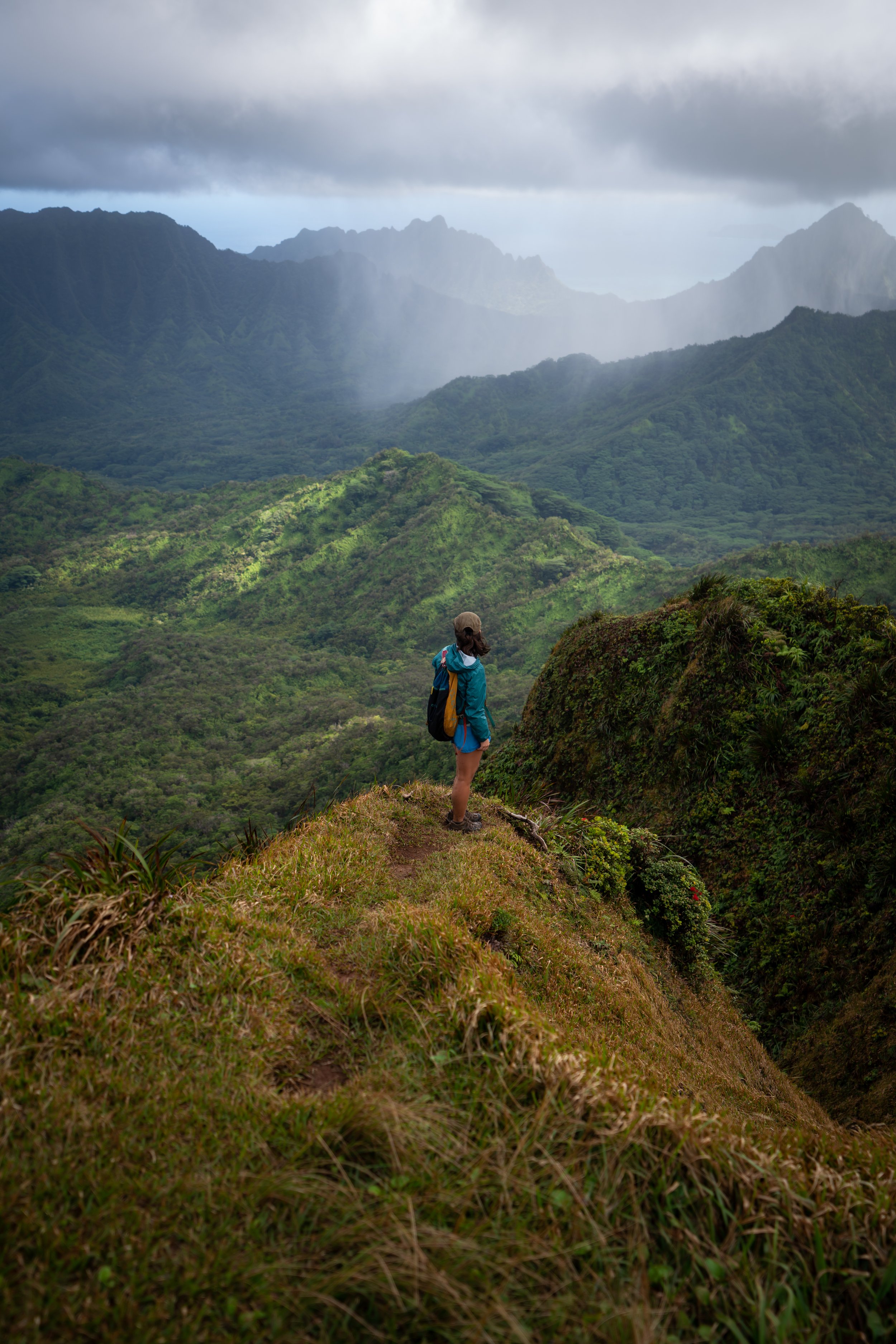
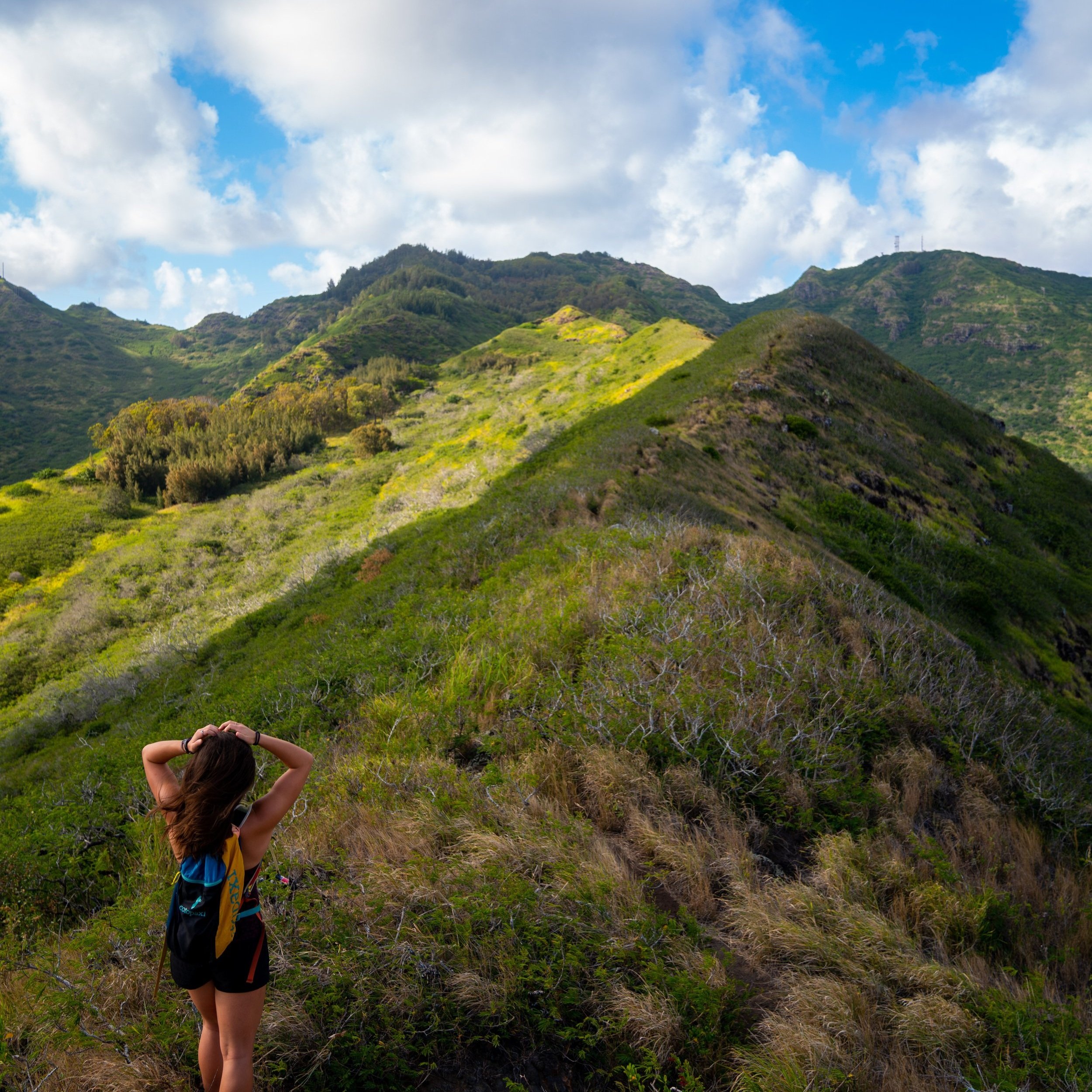
ʻUaʻu Ridge
Eventually, the Kalauao Loop begins climbing ʻUaʻu Ridge, and the summit is the point where the Kalauao Falls Loop meets back up with the ʻAiea Loop.
Shortly after leaving the stream, look for this hard right turn to continue up the ridge.
At this split in the photos below, make the hard left turn up the ridge.
At the top of ʻUaʻu Ridge, turn left for the easiest path back to the ʻAiea Loop Trail.
ʻAiea Loop Trail
Once back on the ʻAiea Loop, you can either choose to go left for the longer half of ʻAiea Loop or right for the shorter half back to the upper trailhead where the hike began.
I typically choose the upper half for obvious reasons.
Read My Separate Post: ʻAiea Loop Trail
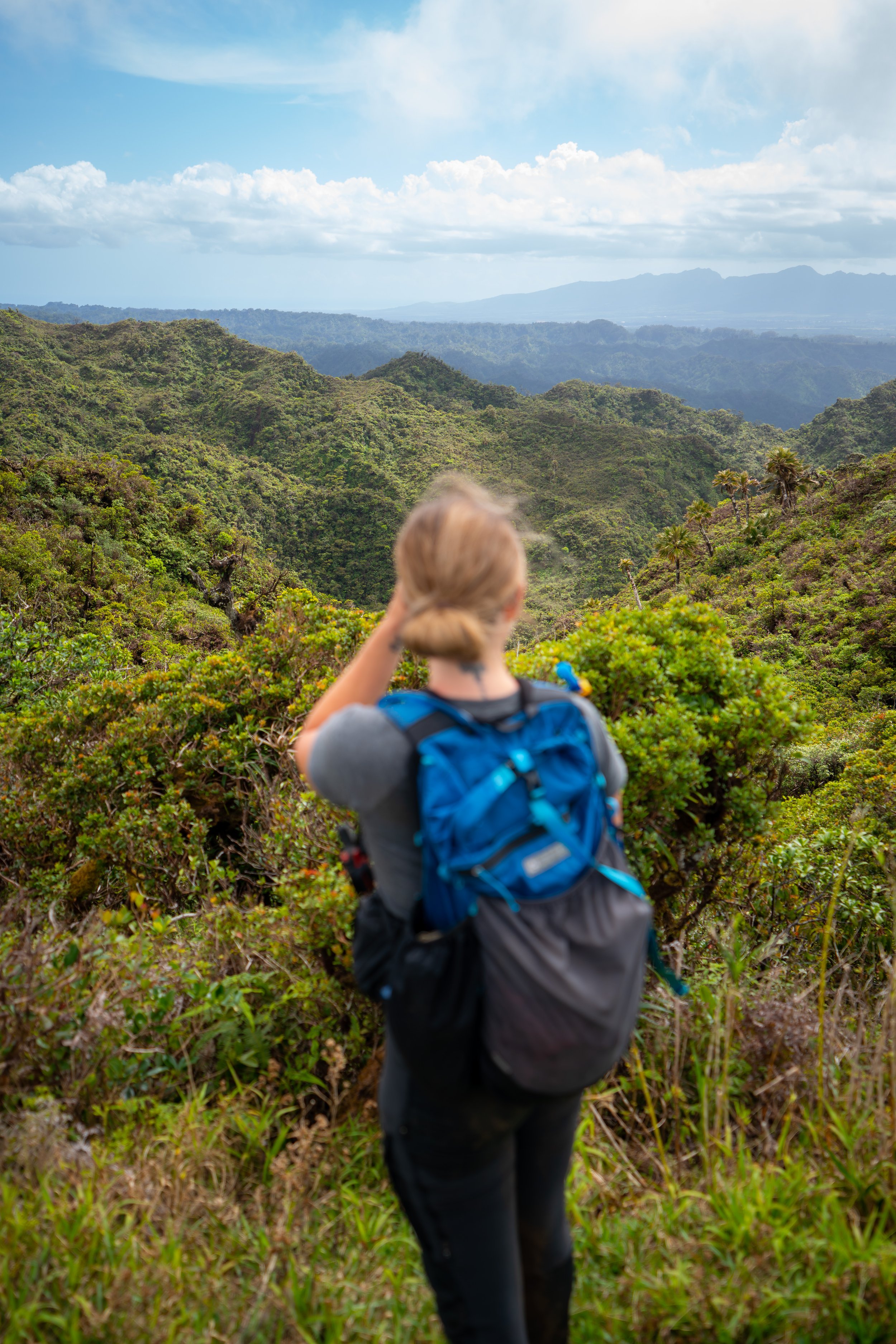
Native Plants on the Kalauao Falls Trail
There are a variety of native plants look out for on the Kalauao Falls Loop Trail, such as ʻŌhiʻa, Koa, ʻIliahi, Moa, and ʻAhakea to name a few.
If you would like to learn more about these and other native plants from across the islands, check out my separate post below.
Read My Separate Post: Native Hawaiian Plant Guide