Hiking the Makapuʻu Tom Tom Trail on Oʻahu, Hawaiʻi
Distance: 2.4 miles / 3.9 km
The Makapuʻu Tom Tom Trail on the east side of Oʻahu is a renowned local favorite because of the beautiful turquoise-blue coastline that parallels the Makapuʻu-Waimānalo stretch of the Koʻolaus and for being the southern terminus for the Koʻolau Summit Trail (KST).
That said, the Makapuʻu Tom Tom Trail is only the first 1.2 miles (1.9 km) of the Koʻolau Summit Trail following Kalanianaʻole Highway, where hikers can either turn back at the end or continue for any number of miles to Pūpūkea on the North Shore of Oʻahu. A few of the most common places to continue onto include Kamehame Ridge, the Pyramid Rock Trail, and the Kuliʻouʻou Ridge Trail.
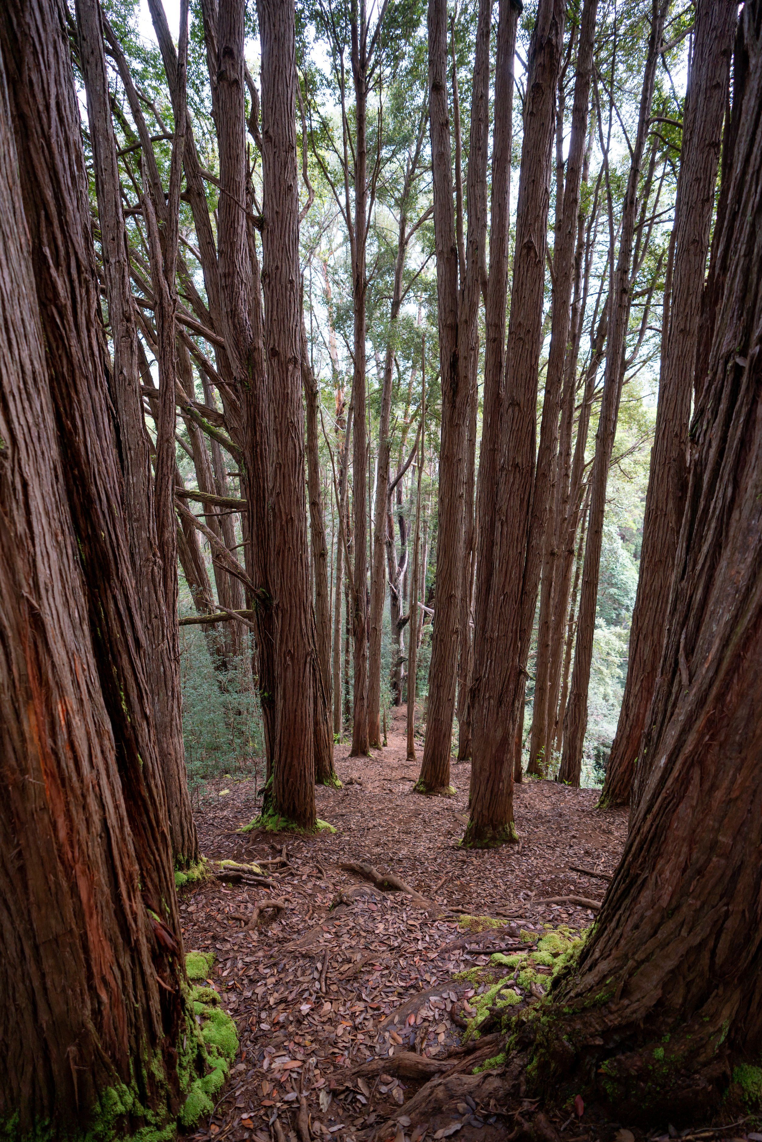
In any case, the Makapuʻu Tom Tom Trail traverses some of the driest and most exposed miles along the entire 56-mile (90.1 km) KST, which is why I highly recommend hiking in a hooded sun shirt to stay safe on this rocky adventure!
Makapuʻu Tom Tom Trailhead Parking
Parking for the Makapuʻu Tom Tom Trail used to be in the Makapuʻu Lookout parking lot, but signs have been posted enforcing 20 minute parking only.
Today, parking is best along Kalanianaʻole Highway or in the beginning of the Makapuʻu Lighthouse parking lot.
Google Maps Directions: Makapuʻu Tom Tom Trailhead
Hiking the Makapuʻu Tom Tom Trail
The Makapuʻu Tom Tom Trail begins directly across the street from the Makapuʻu Lookout.
The trail may not be very defined at first, but it becomes more obvious toward the fence in the photos below.
I think it’s easiest to hike on the far side of this fence.
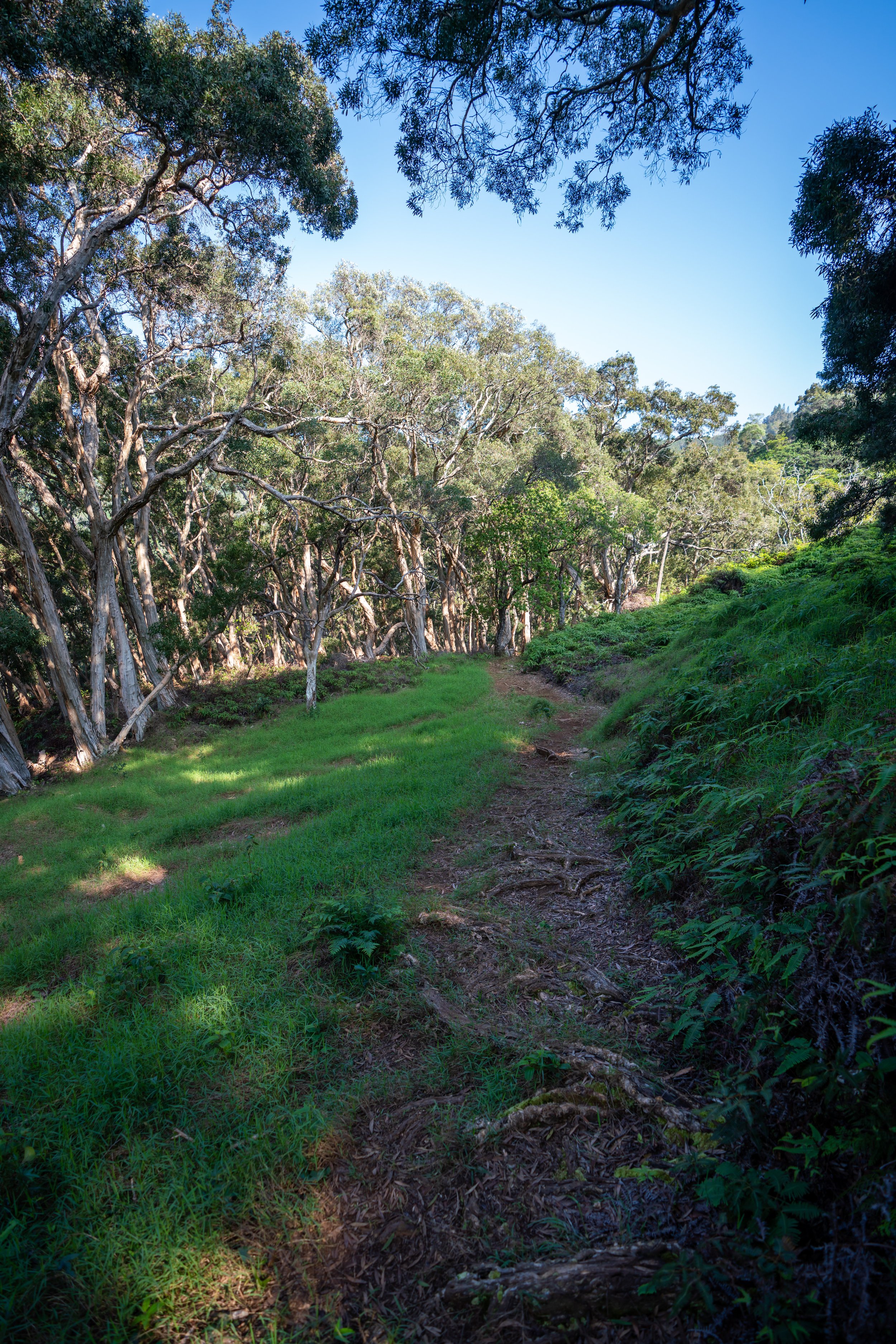
After a short distance, the fence will end, and the Tom Tom trail simply continues along the cliffs over Makapuʻu.
There will be more than one area where the trail may not look obvious because of the tall grass, but if it seems too overgrown, turn back because there will always be a clearer path to walk, even if it’s hard to see.
After the first few bigger hills, the trail will eventually drop steeply down to the Tom Tom Puka below, which is the end of the Makapuʻu Tom Tom Trail.
Warning
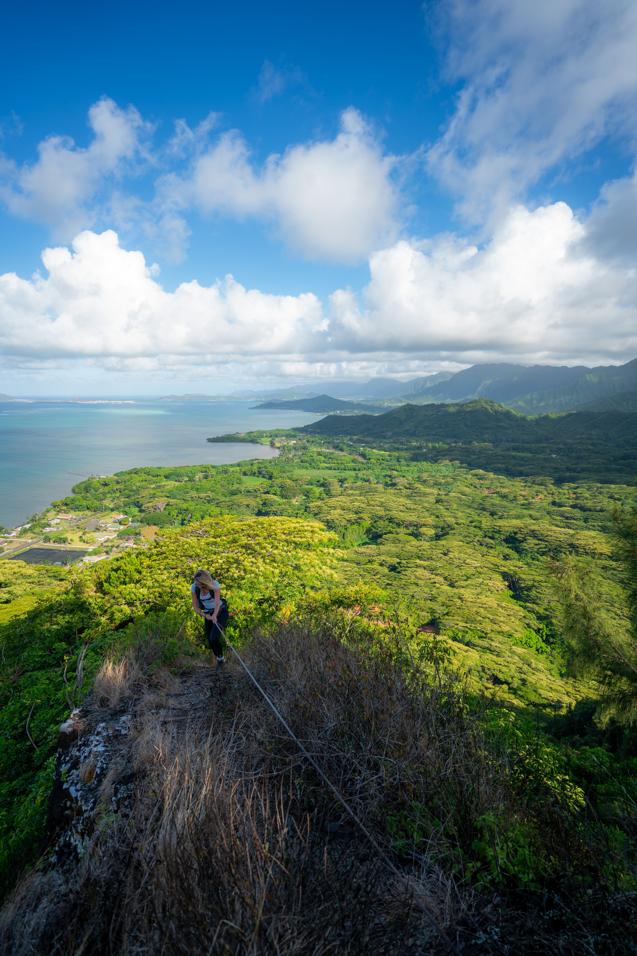
At this rock formation, it's easiest to stay along the cliffs. However, it's important to note that this is one of the highest exposure sections on the entire hike.
You cannot fall, or it would almost certainly mean death.
Tom-Tom Trail Puka
After only 1.2 miles (1.9 km) from the trailhead, the Makapuʻu Tom Tom Trail ends at the Tom Tom Puka.
That said, be careful taking photos, as the cliffs drop off steeply through the Puka.
Koʻolau Summit Trail (KST)
While the Tom Tom Trail ends at the famous Puka shown above, the trail along the summit theoretically continues for roughly another 55.0 miles (88.5 km) to Pūpūkea on Oʻahu’s North Shore!
That said, a much more practical goal would be hiking as far as Kamehame Ridge (Dead Man’s), Kamiloʻiki Ridge, or even as far as Kuliʻouʻou Ridge.
All three are very practical for experienced hikers to complete in a day, with Kuliʻouʻou Ridge being the upper limit that I would recommend to someone if it’s their first time hiking across this section of the Koʻolau Summit.
Read My Separate Post: Koʻolau Summit Trail (KST)
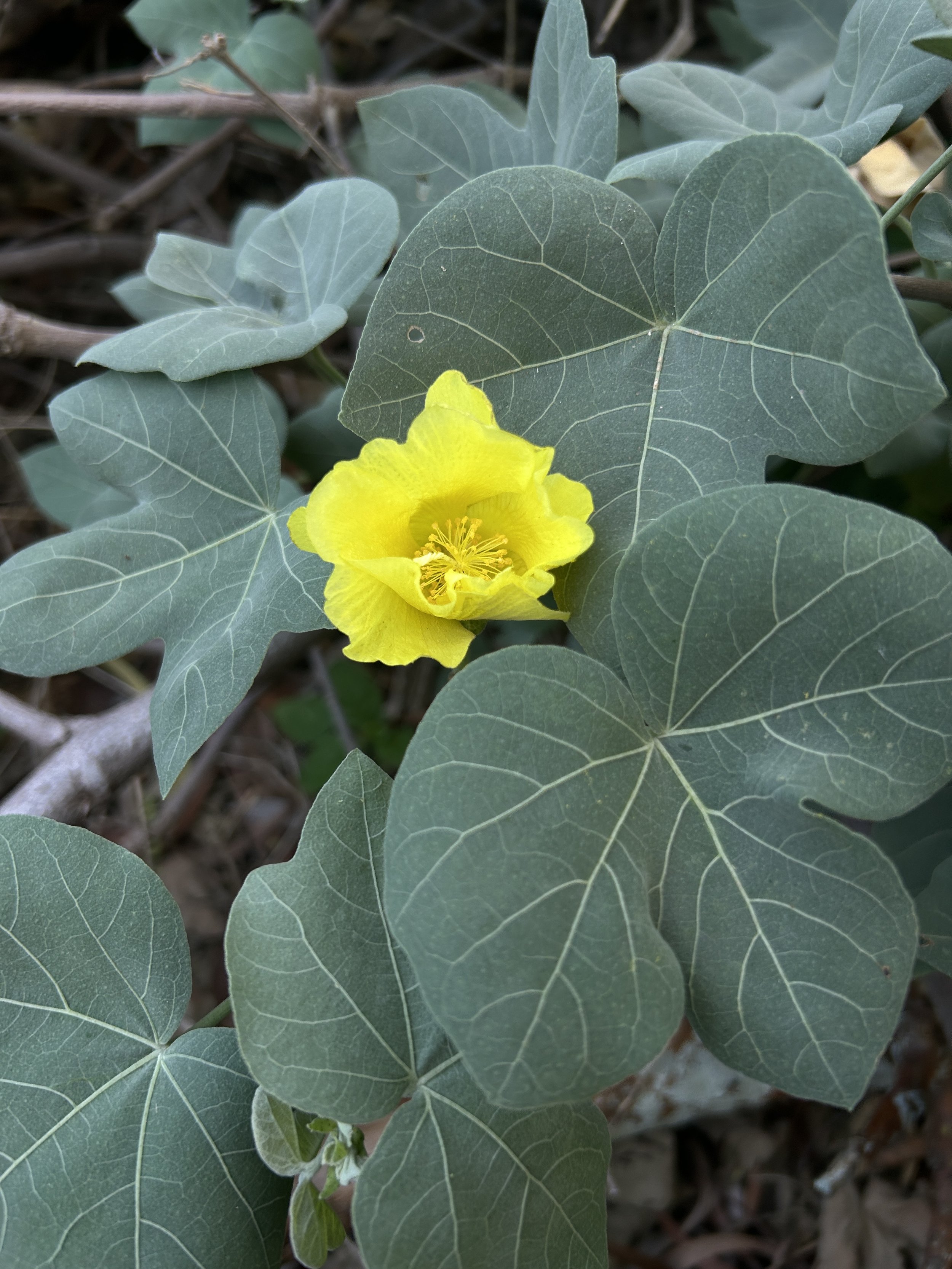
Native Plants on the Tom Tom Trail
Even though the Tom Tom trail climbs steeply up the Koʻolau Summit, it’s still a relatively low-elevation trail for many native Hawaiian plants.
However, there are still a number of them to look out for among the weeds. You can find ʻIlima, ʻIlieʻe, the Hoary Abutilon, Pāʻū o Hiʻiaka, ʻAʻaliʻi, and I even saw one remnant Wiliwili tree. It was kind of sad to see this one Wiliwili barely alive among a sea of weeds, but maybe there are a few more out there.
If you would like to learn more about identifying these and other native Hawaiian plants across the islands, check out my separate post below.
Read My Separate Post: Native Hawaiian Plant Guide