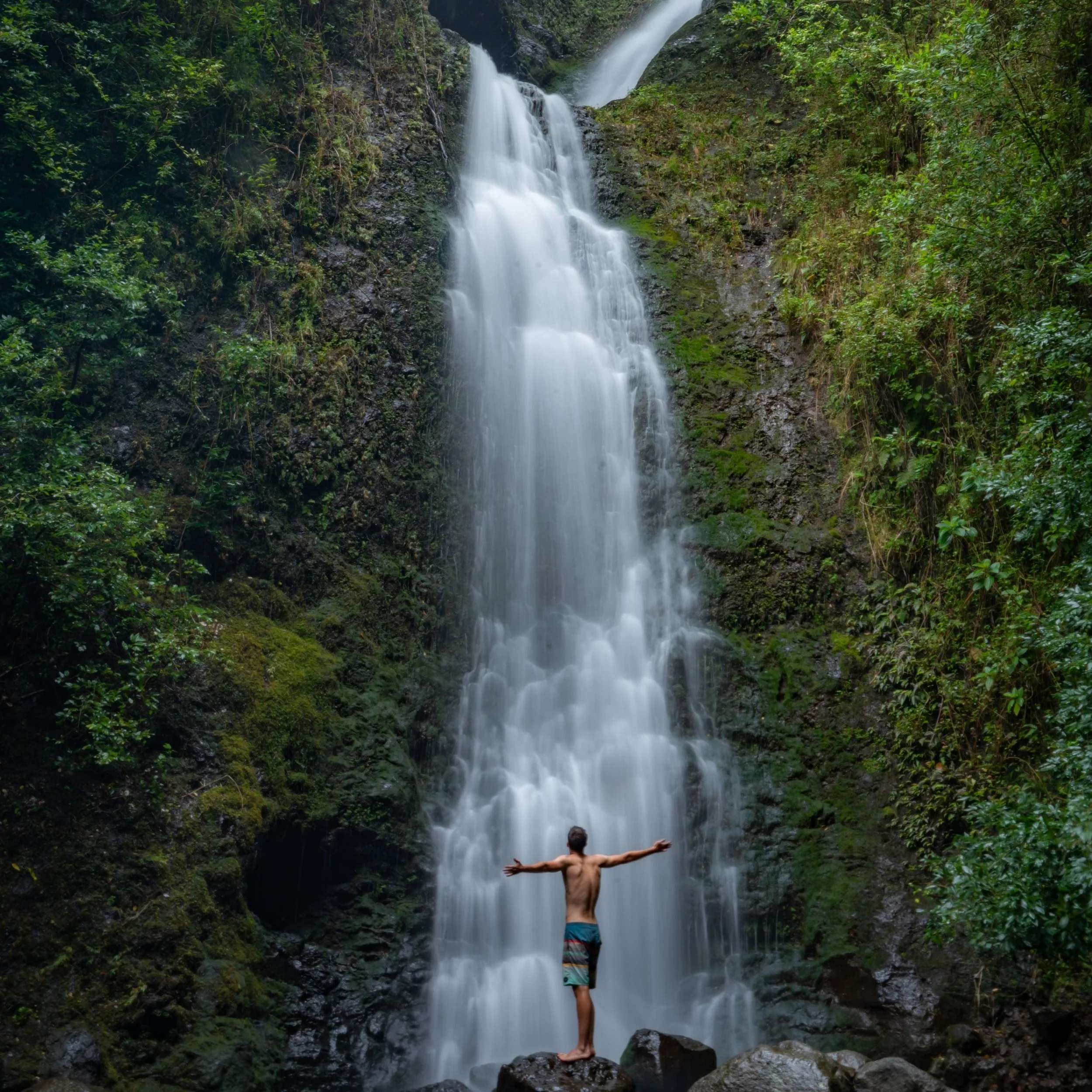
Hiking the ʻAihualama Trail on Oʻahu, Hawaiʻi
Distance (One Way Not Including Mānoa Falls): 1.4 miles / 2.3 km
The ʻAihualama Trail in Mānoa Valley on Oʻahu is a connector trail between Mānoa Falls and the large network of trails on Tantalus, which spans from Makiki Valley to the Pauoa Flats Bench and up to the summit of Puʻu Kōnāhuanui (K1).
That said, of all the trail in the Tantalus network, the ʻAihualama Trail can most closely be compared to the Nuʻuanu Trail, off the Judd Trail on the north side of Tantalus, as the two climb steeply to nearby sections of the Pauoa Flats Trail.
It is for this reason that the Pauoa Flats Bench is the most common place to hike after completing the ʻAihualama Trail, as there is but one real viewpoint on the hike up the switchbacks from Mānoa Falls.
On a different note, the ʻAihualama Trail can make for a great connector when creating a loop with Mānoa Middle and Puʻu Kōnāhuanui—similar to Lulumahu Ridge to K1 and down the Nuʻuanu Trail. However, this truly is an adventure that requires much more planning, which is why it should only be attempted by hikers who are familiar with every part of the loop—especially the Koʻolau Summit Trail (KST).
ʻAihualama Trailhead Parking
Parking for the ʻAihualama Trail is located at the very end of Mānoa Road in the same small parking lot that serves the Mānoa Falls Trail.
Before arriving, be aware that there is a small fee to park, and know that parking is illegal along the side of the short road prior to the paid parking area.
Google Maps Directions: ʻAihualama Trailhead (Mānoa Falls)
Hiking the ʻAihualama Trail
Mānoa Falls Trailhead
The ʻAhiualama Trailhead is located at the very end of the Mānoa Falls Trail.
That said, I encourage you to check out my separate article if you’re interested in learning more about the 0.85-mile (1.4 km) hike to get there.
Read My Separate Post: Mānoa Falls Trail
ʻAihualama-Mānoa Falls Junction
Just steps before the waterfall, the Mānoa Falls Trail will pass the ʻAihualama Trailhead on the left-hand side.
That said, go left to begin hiking the ʻAihualama Trail, which ascends 14 switchbacks from this point just before Mānoa Falls to the Pauoa Flats Trail up on Tantalus.
Read My Separate Post: Mānoa Falls Trail
After leaving the Mānoa Falls Trail behind, the ʻAihualama Trail traverses the lower elevations of Mānoa Valley, gaining little, if any, notable elevation.
By this, I mean that for roughly half of the hike (not including Mānoa Falls), the elevation gain is hardly noticeable until the ʻAihualama Trail reaches the first switchback, about 0.7 miles (1.1 km) into the hike.
The one nice thing about the Bamboo on the ʻAihualama Trail is that it’s only found at the very beginning and end of the trail, which is a nice sign to know you’re either close to Mānoa Falls or the Pauoa Flats Trail at the top.
This gate, along with the second gate near the Pauoa Flats Trail at the top, was installed on the ʻAihualama Trail during the 2019–2021 Mānoa Falls Trail reconstruction project to help manage hiking traffic when the Mānoa Falls Trail was closed to the public.
This large Banyan tree is one of the coolest and most photogenic spots on the ʻAihualama Trail—not to mention, it’s fairly easy to get to from Mānoa Falls!
Of all the different interconnecting trails on Tantalus, I’ve always thought the ʻAihualama Trail is the most unrunnable, because of how muddy and awkward sections like this are.
However, trail running on Tantalus in general is one of the best places to trail run on Oʻahu, and if you’re looking for a good shoe that works fairly well on Hawaiʻi’s muddy trails, check out the ones I trust linked below.
This is a great example of one of the many muddy sections on the ʻAihualama Trail that can make trail running a bit challenging, though locals still run it almost everyday!
This is about as steep as the ʻAihualama Trail gets before the switchbacks.
While this Philodendron species certainly is beautiful, like most are, it is not native to Hawaiʻi and does have some invasive tendencies.
However, it is certainly not the most widespread non-native in Hawaiʻi.
From the end of the Mānoa Falls Trail to the Pauoa Flats Trail, the ʻAihualama Trail gains about 760 ft. (201 m) of elevation over the course of 1.4 miles (2.3 km), which truly isn’t all that steep compared to countless other Oʻahu day hikes.
This is the first of the 14 switchbacks on the ʻAihualama Trail, which is located roughly 0.7 miles (1.1 km), or about halfway, from the beginning of the trail at Mānoa Falls.
Compared to the first half of the hike, these switchbacks are where the ʻAihualama Trail more noticeably climbs out of Mānoa Valley.
However, as previously mentioned, the elevation gain really isn’t all that challenging—or at least not as steep as other trails within the Tantalus Trail network.
Some hikers may want to use trekking poles on the ʻAihualama Trail, especially considering that the back of Mānoa Valley is one of the wetter and muddier places to hike on Oʻahu.
For those counting, this is the fifth switchback on the ʻAihualama Trail.
One of the cool things about the ʻAihualama Trail is that hikers can see two of the most common endemic Hāpuʻu ferns growing directly alongside the trail—even alongside one another!
That said, telling the two most common species apart can be challenging, unless you know the little trick described below!
Cibotium glaucum vs. Cibotium chamissoi
There are subtle differences in the pinnae that can be hard to describe, but for a quick, easy way to determine which species you’re looking at, flip the fronds!
The underside of Cibotium glaucum will look pale/ light green, while Cibotium chamissoi will be a distinct green color (not pale).
This is the eighth switchback on the ʻAihualama Trail, and it’s where the trail begins a long, straight section before switching back again to begin the final few.
This is the other Hāpuʻu species not shown above, and what hopefully stands out compared to the first one shown is how much more pale the underside of the fronds are—and yes, the difference is subtle, but the more you hike and practice identifying Hawaiʻi’s Hāpuʻu ferns, the easier telling the difference becomes!
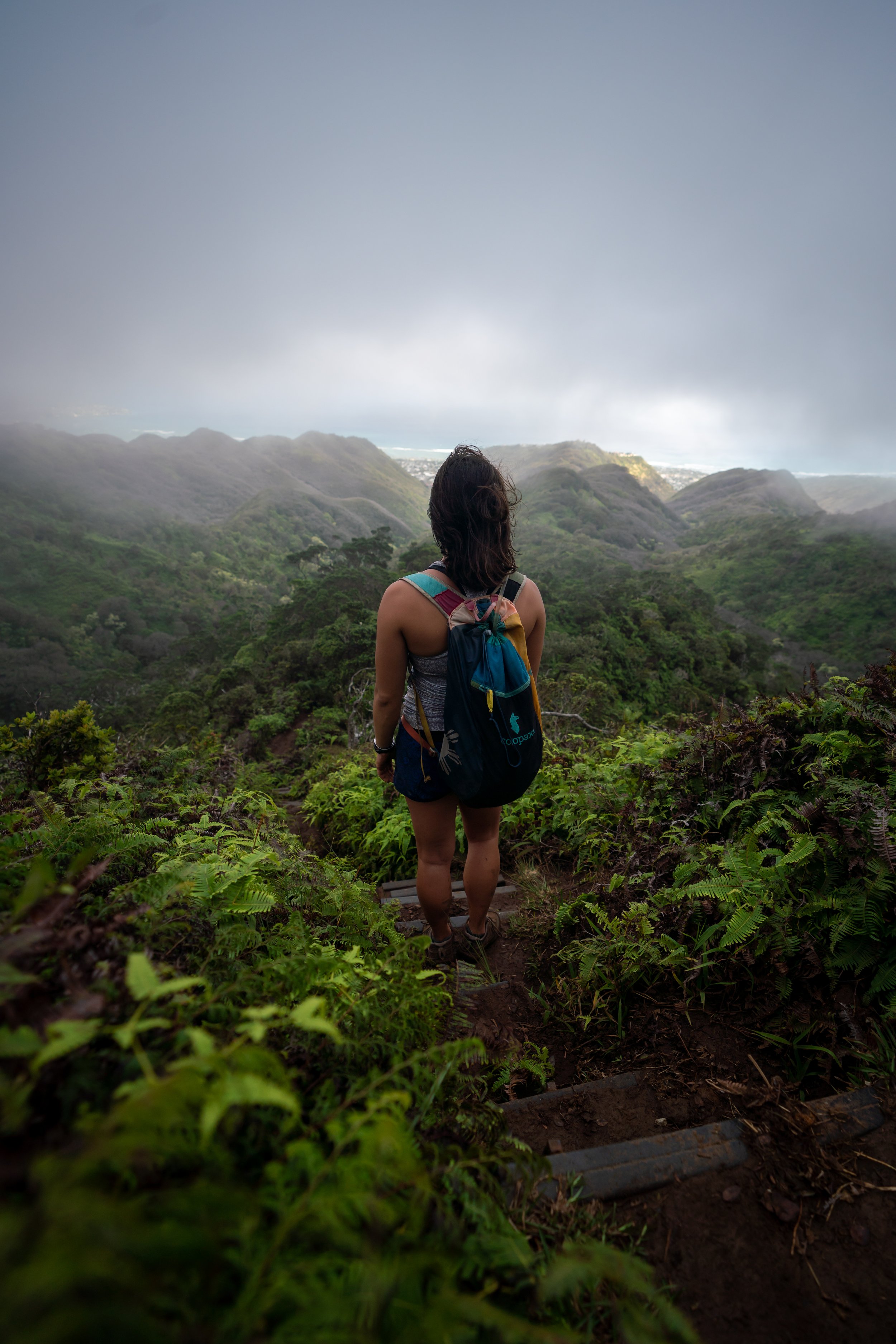
This very short stretch after the eighth switchback is the only place with a view of the ʻAihualama Trail, which is one reason why hiking to the Pauoa Flats Bench is such a popular option once at the top.
After about a 0.2-mile (0.3 km) stretch, the ʻAihualama Trail reaches the ninth switchback, where it begins the final few switchbacks up to the Bamboo forest at the top.
When the ʻAihualama Trail starts to re-enter a Bamboo forest, similar to the sections in Mānoa Valley at the beginning, the Pauoa Flats Trail is not far ahead!
This is the 14th and final switchback on the ʻAihualama Trail, and it’s a nice mental checkpoint that the Pauoa Flats Trail is only 0.2 miles (0.3 km) away from this point.
This is where the incline up the ʻAihualama Trail significantly levels out compared to the sections prior.
This is the second gate installed during the 2019-2021 Mānoa Falls reconstruction project.
Just a few steps before the Pauoa Flats Trail, the ʻAihualama Trail again passes one of the muddier sections on the entire trail, which will continue past the end of the trail if you decide to hike to the Pauoa Flats Bench.
ʻAihualama-Pauoa Flats Junction
The ʻAihualama Trail ends where it meets the Pauoa Flats Trail, just over the halfway mark between the Mānoa Cliff Trail to the left and the Pauoa Flats Bench to the right.
That said, one of the most popular destinations to hike to on Tantalus is the Pauoa Flats Bench, located roughly 0.3 miles (0.5 km) away from this junction.
If you are interested in hiking more of the Tantalus Loop Trail, I encourage you to use the link below to check out my separate article about the entire network of trails, beginning from the trailhead in Makiki Valley.
Read My Separate Post: Tantalus Loop Trail
Even on a beautiful sunny day like this, the Pauoa Flats Trail between ʻAihualama and the bench is often very muddy!
Pauoa Flats Bench
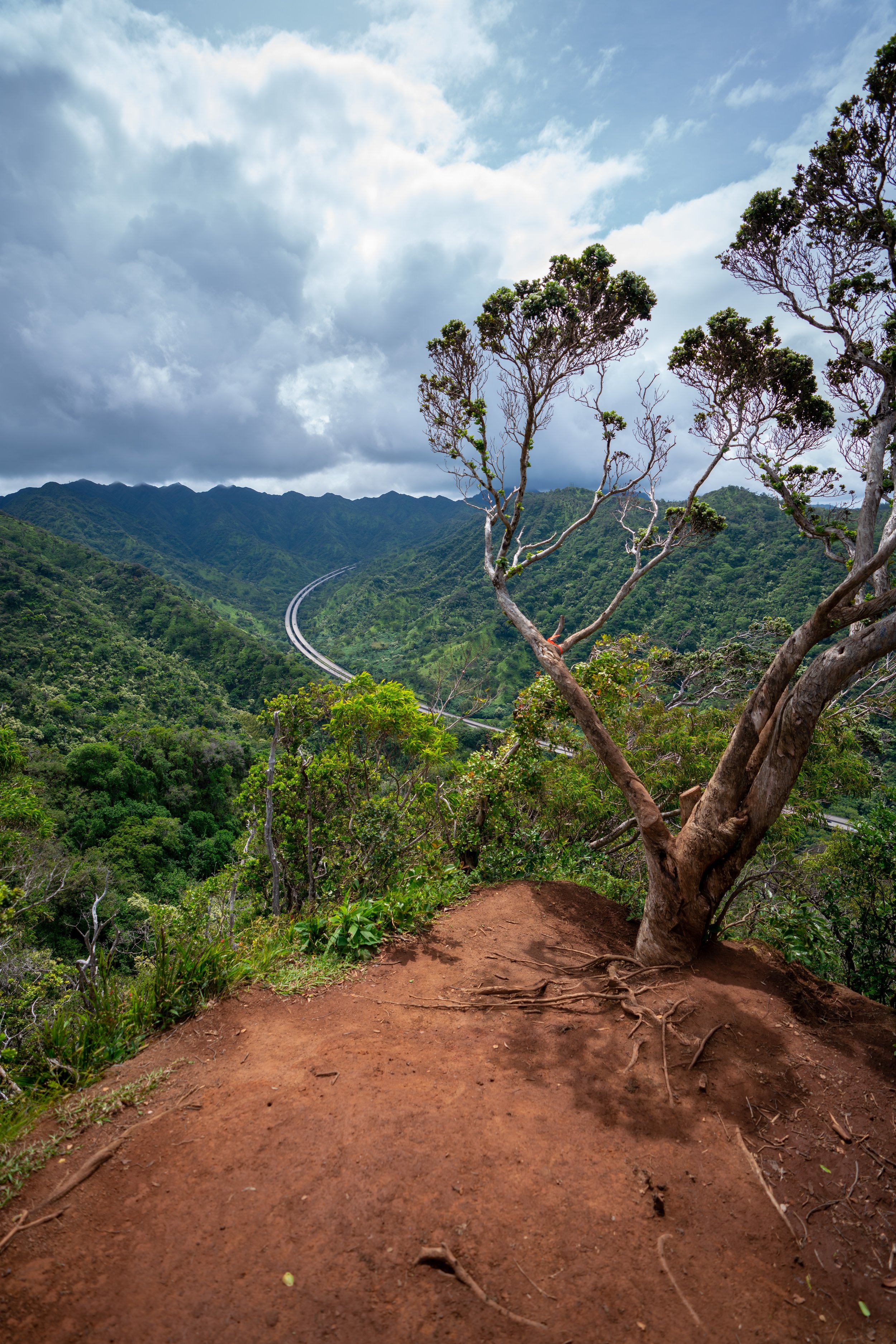
This is the Pauoa Flats Bench, and this viewpoint is the end of the maintained trail network on Tantalus.
By this, I mean that the ridge does continue farther up to the Koʻolau Summit, but if you weren’t prepared to hike that far, I recommend turning back, as the trail only gets more and more challenging from this point on.
Read My Separate Post: Puʻu Kōnāhuanui Ridge Trail
Native Plants on the ʻAihualama Trail
For the most part, the ʻAihualama Trail is not the best place to find native Hawaiian plants on Oʻahu because it is so low in elevation by Hawaiʻi standards.
However, there are a few native plants hikers can expect to see, including Lama, Palaʻā, Hāpuʻu, and ʻĒkaha, to name just a few.
If you would like to learn more about these and many other native Hawaiian plants from across the islands, I encourage you to check out my separate post linked below.
Read My Separate Post: Native Hawaiian Plant Guide