Hiking the Water Catchment Trail in Virgin Islands National Park
Distance (One Way): 0.7 miles / 1.1 km
Elevation Change: 440 ft. / 134 m
The Water Catchment Trail in Virgin Islands National Park is a little-known and often overlooked day hike on St. John, as the seemingly insignificant trail is overshadowed by countless other, more popular adventures like the Reef Bay Trail and the Ram Head Trail.
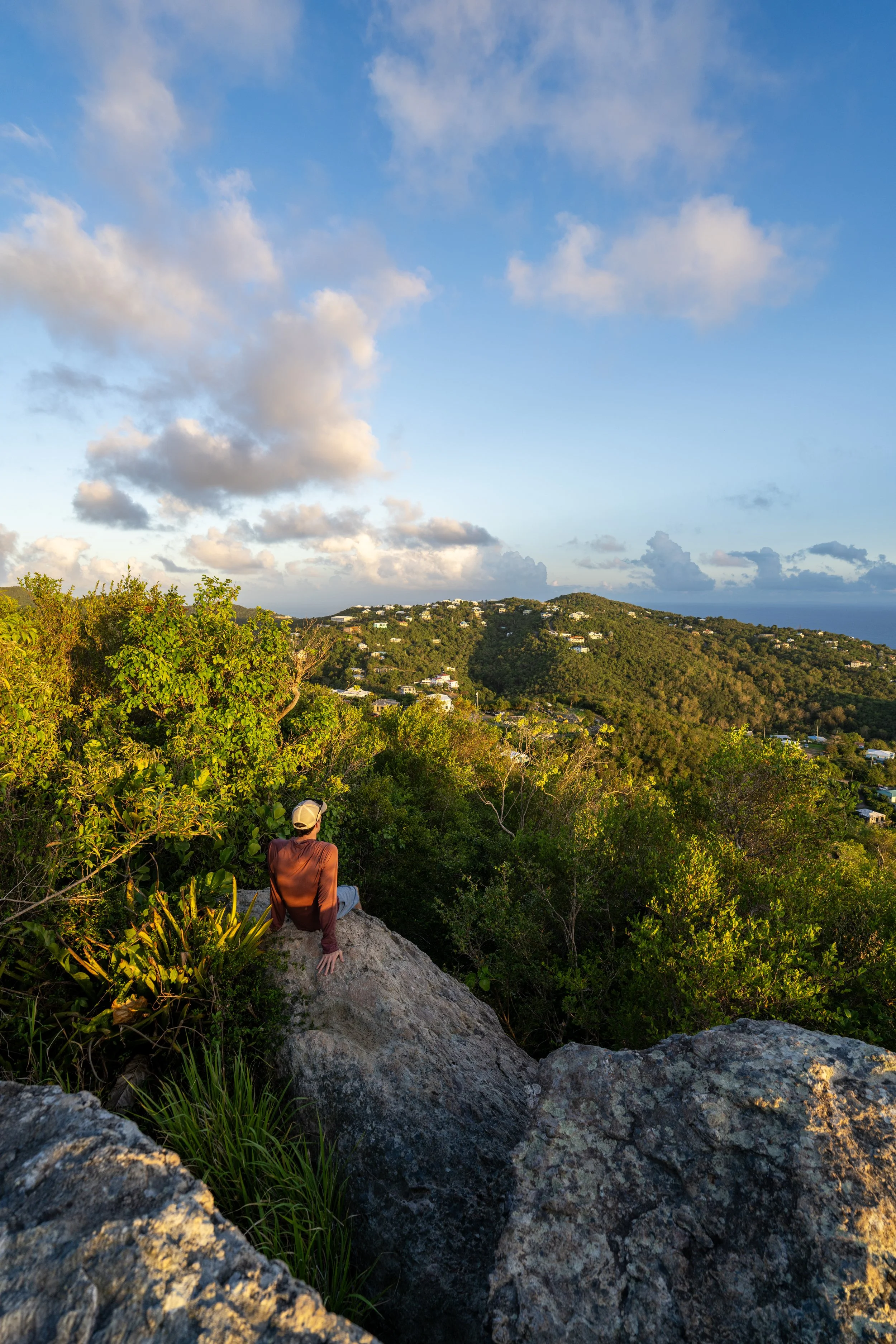
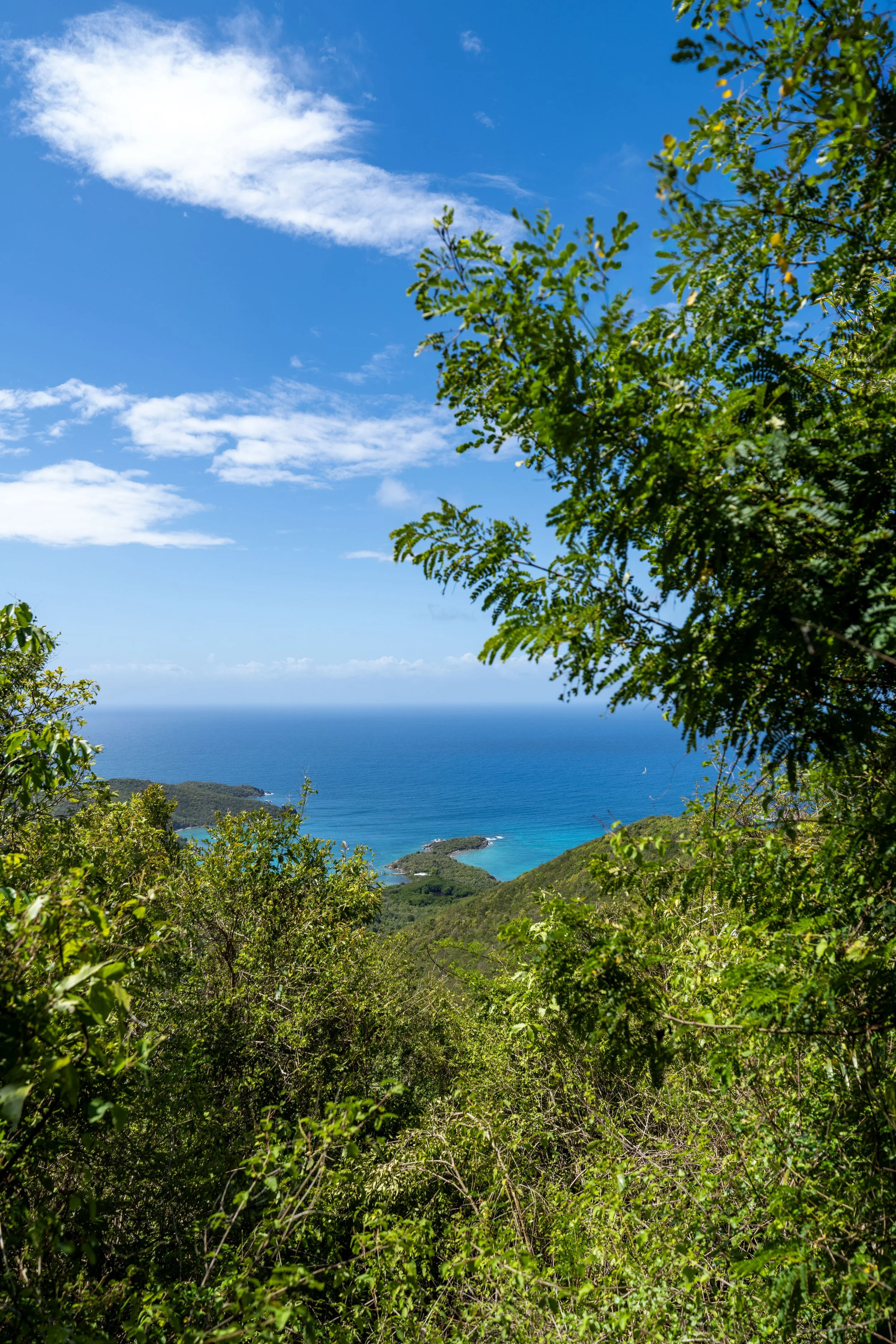
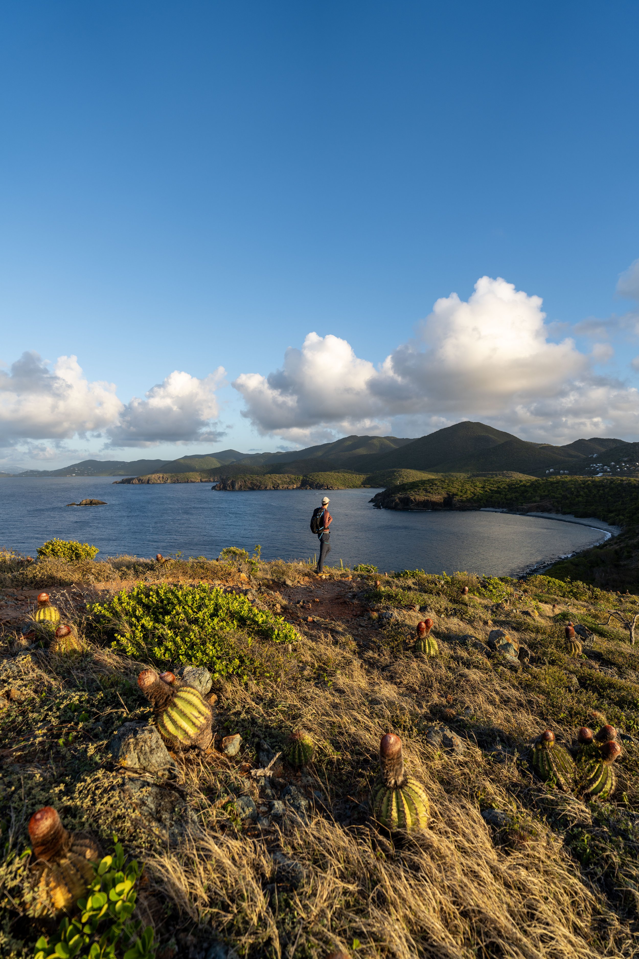
However, there is one very important reason I think the Water Catchment Trail is worth visiting, and that is because of its close proximity to Margaret Hill, the best and most beautiful viewpoint on the Caneel Hill Trail!
Yes, the Upper Water Catchment Trailhead is ideal, cutting out the vast majority of the elevation gain and distance that must be hiked to reach this must-see viewpoint, which is especially significant for those looking for a great place to catch sunset in Virgin Islands National Park!
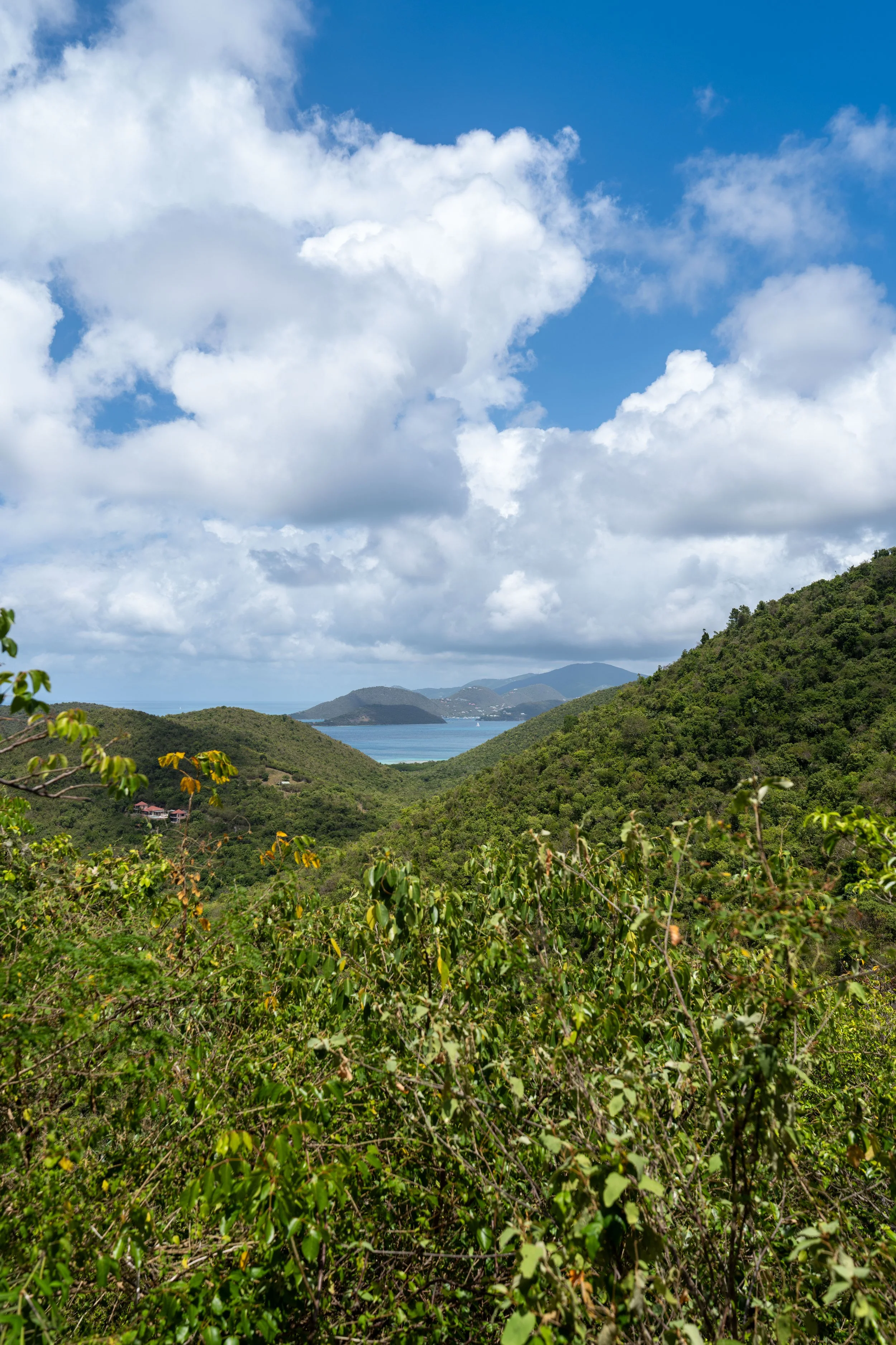
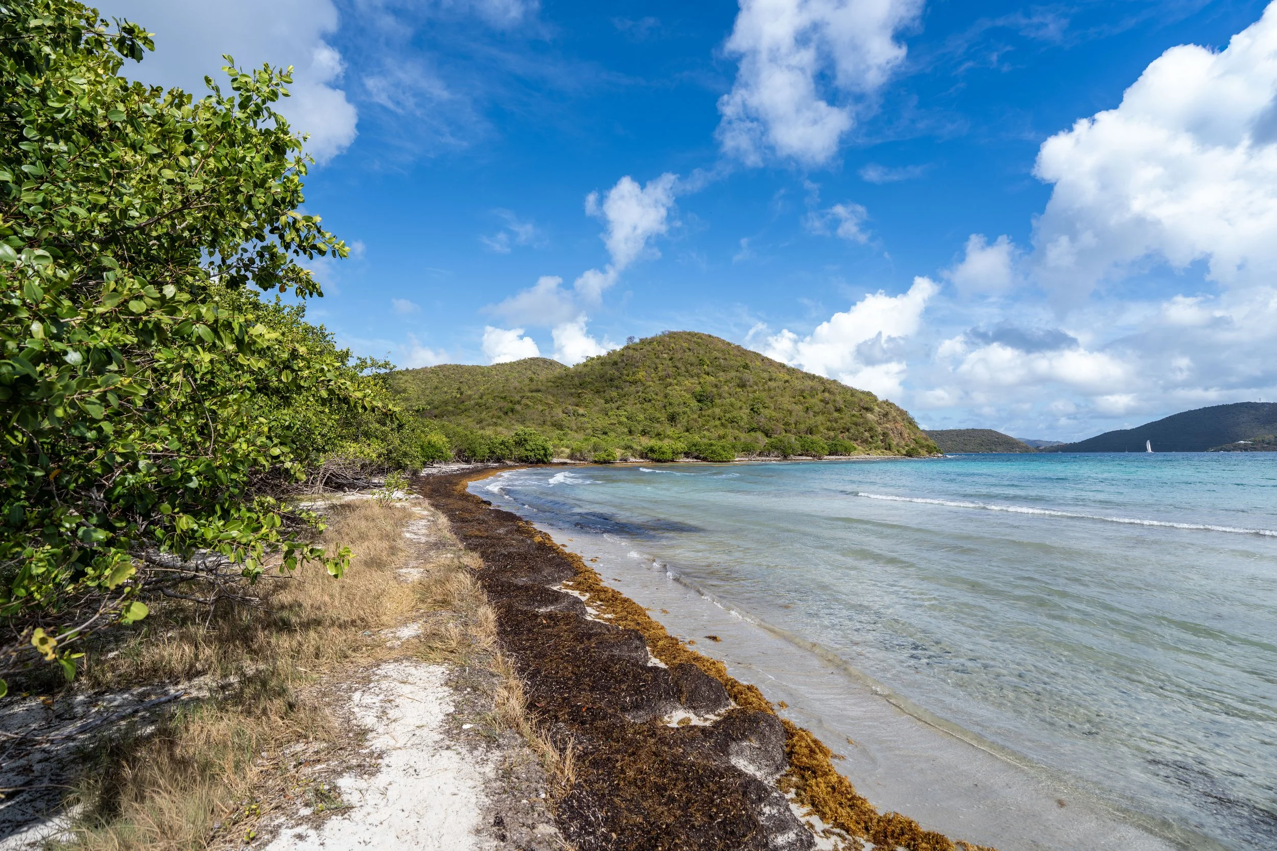
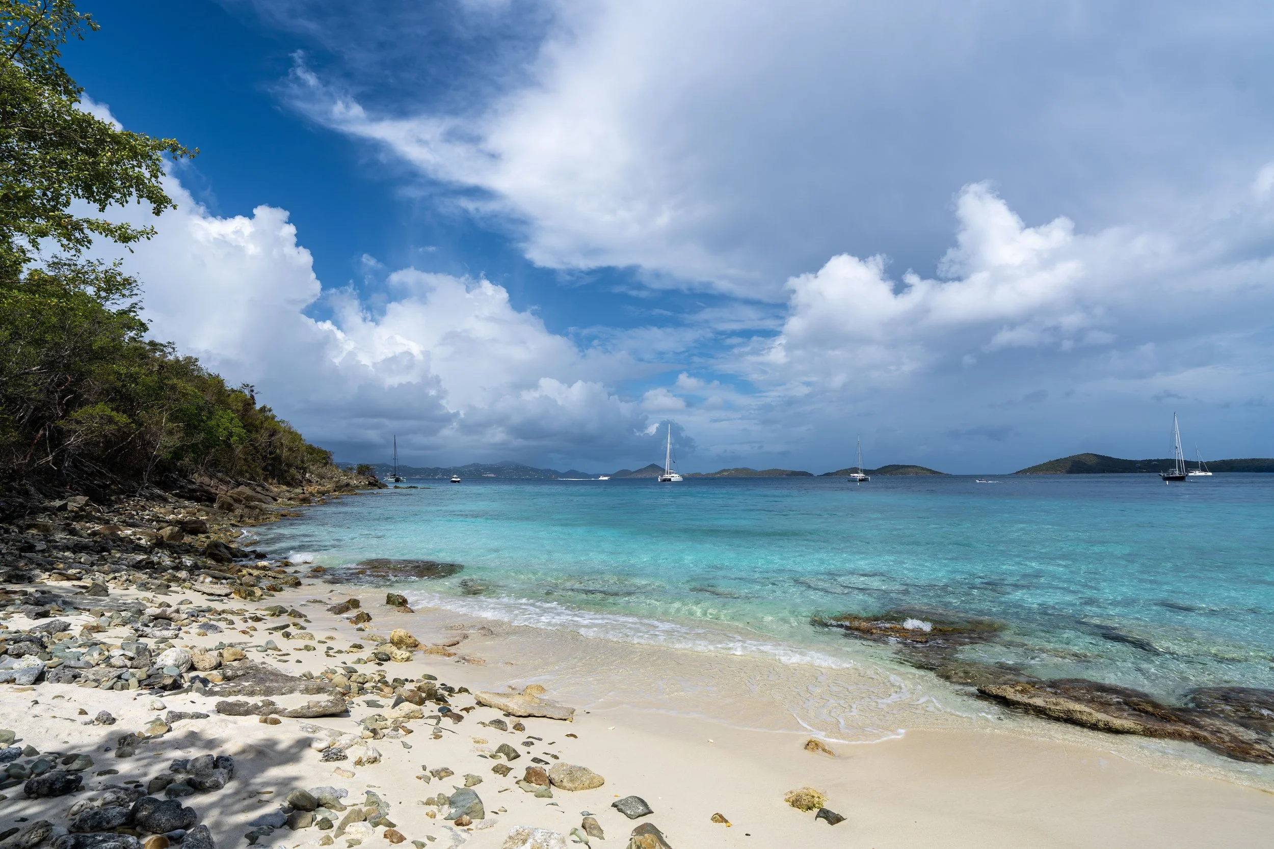
All that aside, the Water Catchment Trail on its own is truly nothing more than a connector between the Upper Trailhead off Centerline Road and North Shore Road near Caneel Bay below. It parallels the eastern half of the Caneel Hill Trail and can really be treated as an alternate or a loop by walking a short distance along North Shore Road between the trailheads.
Water Catchment Trailhead Parking
Parking for the Water Catchment Trail is located either directly off Centerline Road, adjacent to the Upper Trailhead, or just to the south of the Lower Trailhead along North Shore Road.
In either case, finding a spot to park is typically never an issue, as the Water Catchment Trail is one of the least trafficked day hikes in Virgin Islands National Park.
Google Maps Directions: Upper Water Catchment Trailhead / Lower Water Catchment Trailhead
Hiking Checklist - Virgin Islands
Here is a complete list of must-have things that you will want for any hike in Virgin Islands National Park.
Hiking the Water Catchment Trail
Upper Water Catchment Trailhead
This is the Water Catchment Trail, beginning from the Upper Trailhead off Centerline Road, and it’s the direction I recommend starting if you plan to hike all the way down to North Shore Road, as I find it easier to push through the overgrowth at the bottom by going downhill as opposed to hiking up.
Upper Water Catchment-Caneel Hill Junction
Immediately after beginning the Water Catchment Trail, the path splits with the first of three connectors that leads over to the Caneel Hill Trail.
This first connection is exactly the route I recommend following to hike the shortest possible route to the viewpoint atop Margaret Hill, but to continue on the Water Catchment Trail toward North Shore Road, go straight to begin the nearly all-downhill adventure.
Read My Separate Post: Caneel Hill Trail
For those looking for a great place to trail run in Virgin Islands National Park, the Water Catchment Trail—before the catchment facility near the bottom—can be a great option to consider when making a loop with the Caneel Hill Trail.
In either case, the shoes linked below are exactly the hiking and trail-running shoes I recommend using for this and all the different day hikes across Virgin Islands National Park.
Middle Water Catchment-Caneel Hill Junction
The next time the Water Catchment Trail splits is where it meets the second of three connections with the Caneel Hill Trail.
This is the very confusing switchback I mentioned in my separate article about Caneel Hill, and it’s where hikers often get off track by mistake.
All that aside, go right at this split to stay on the Water Catchment Trail and continue hiking toward North Shore Road.
Read My Separate Post: Caneel Hill Trail
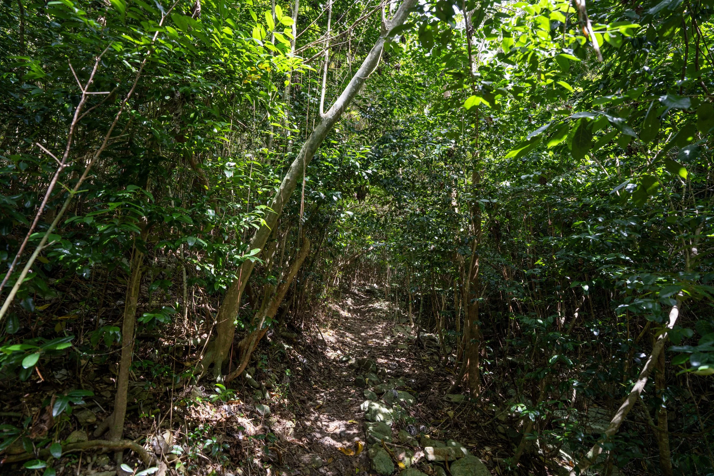
The one thing I hope these photos show is that there are very few flat areas on the Water Catchment Trail—something that is true about all three day hikes on Caneel Hill.
This is why I like to say that some visitors may want to use trekking poles, as the Water Catchment Trail, the Caneel Hill Trail, and the Tamarind Tree Trail are almost always climbing or descending.
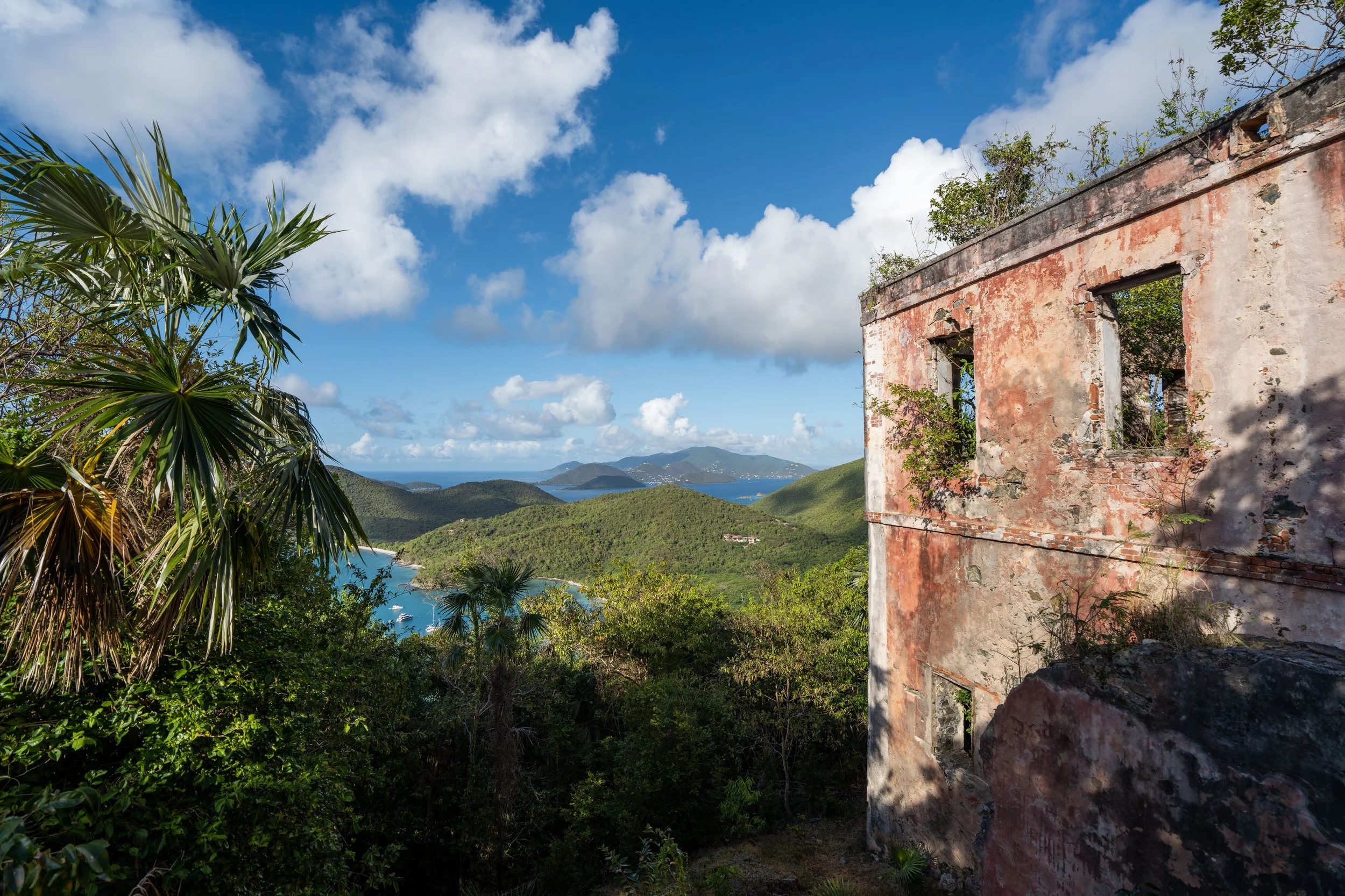
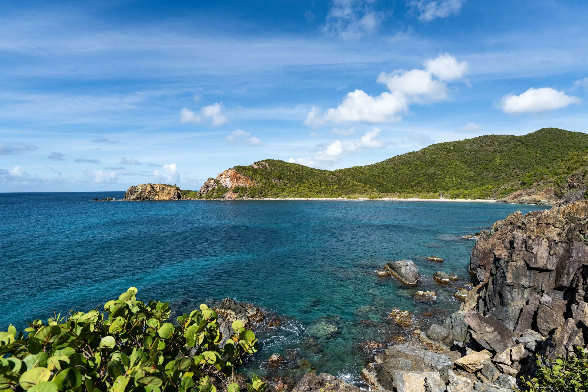
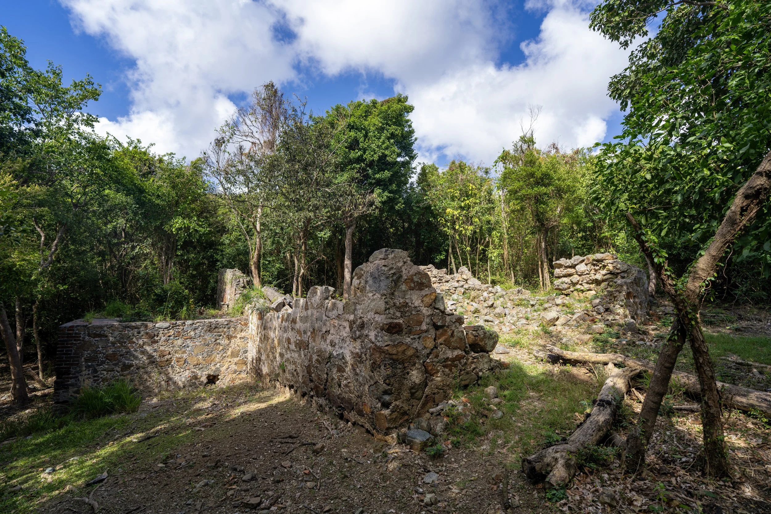
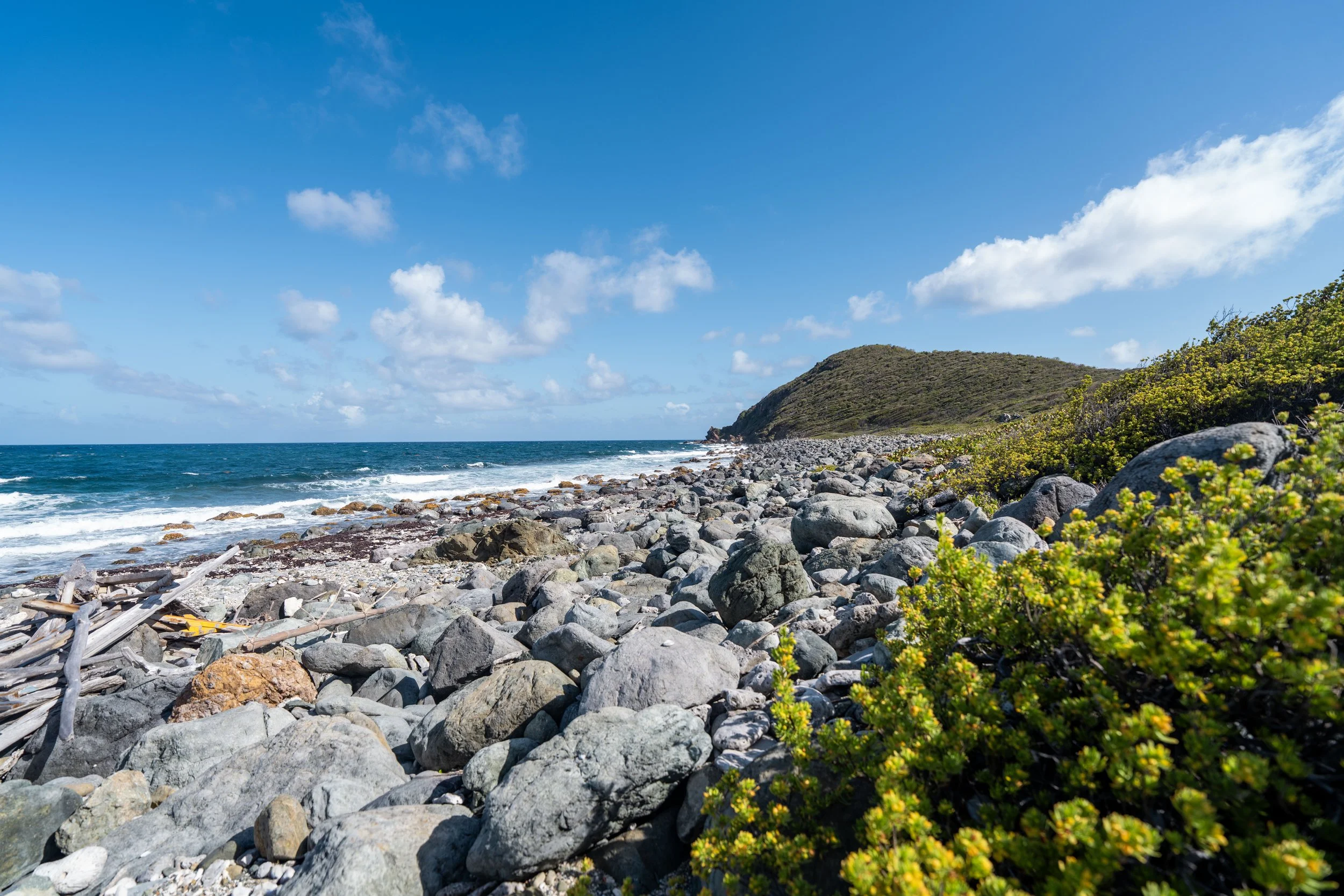
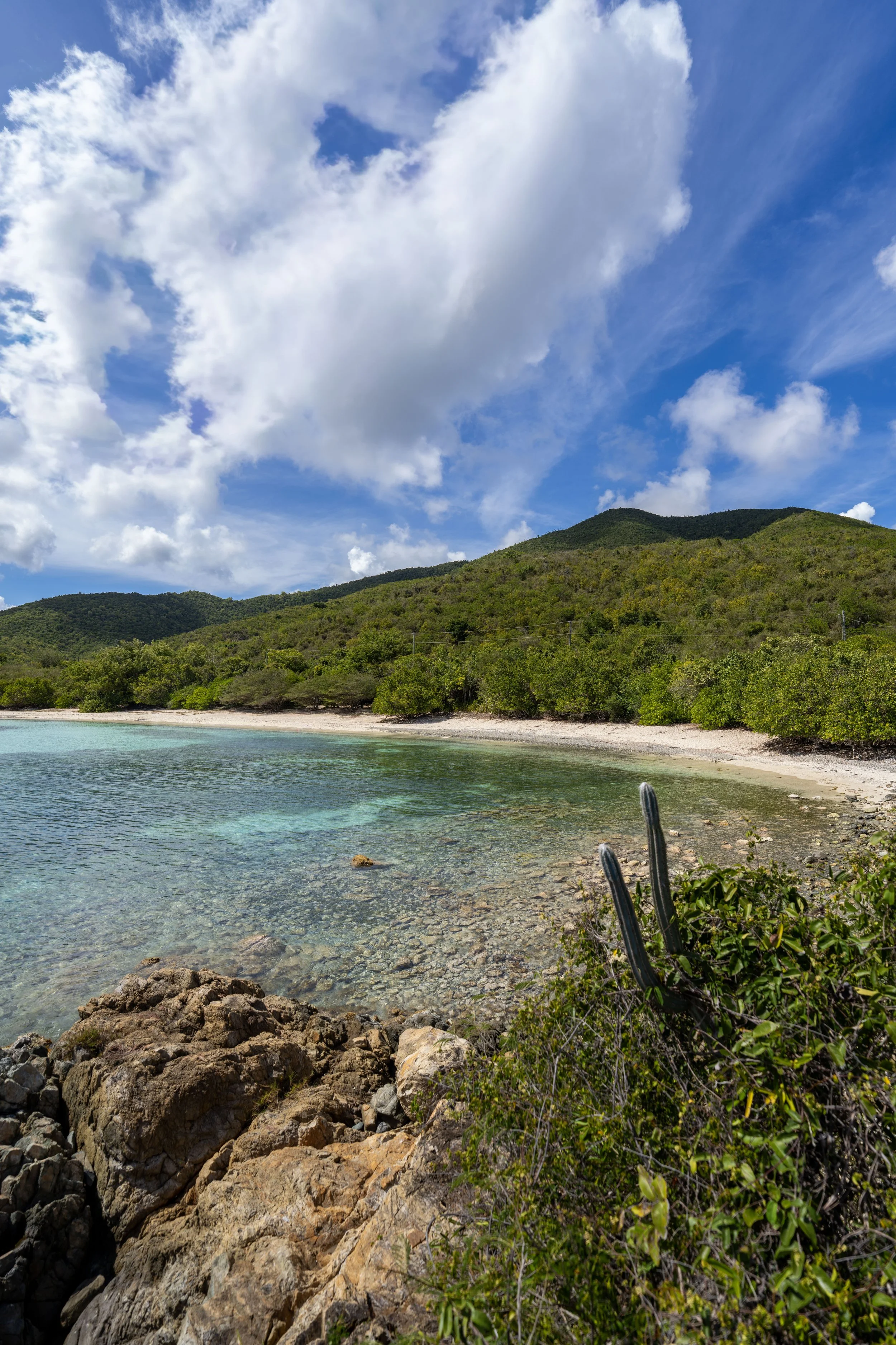
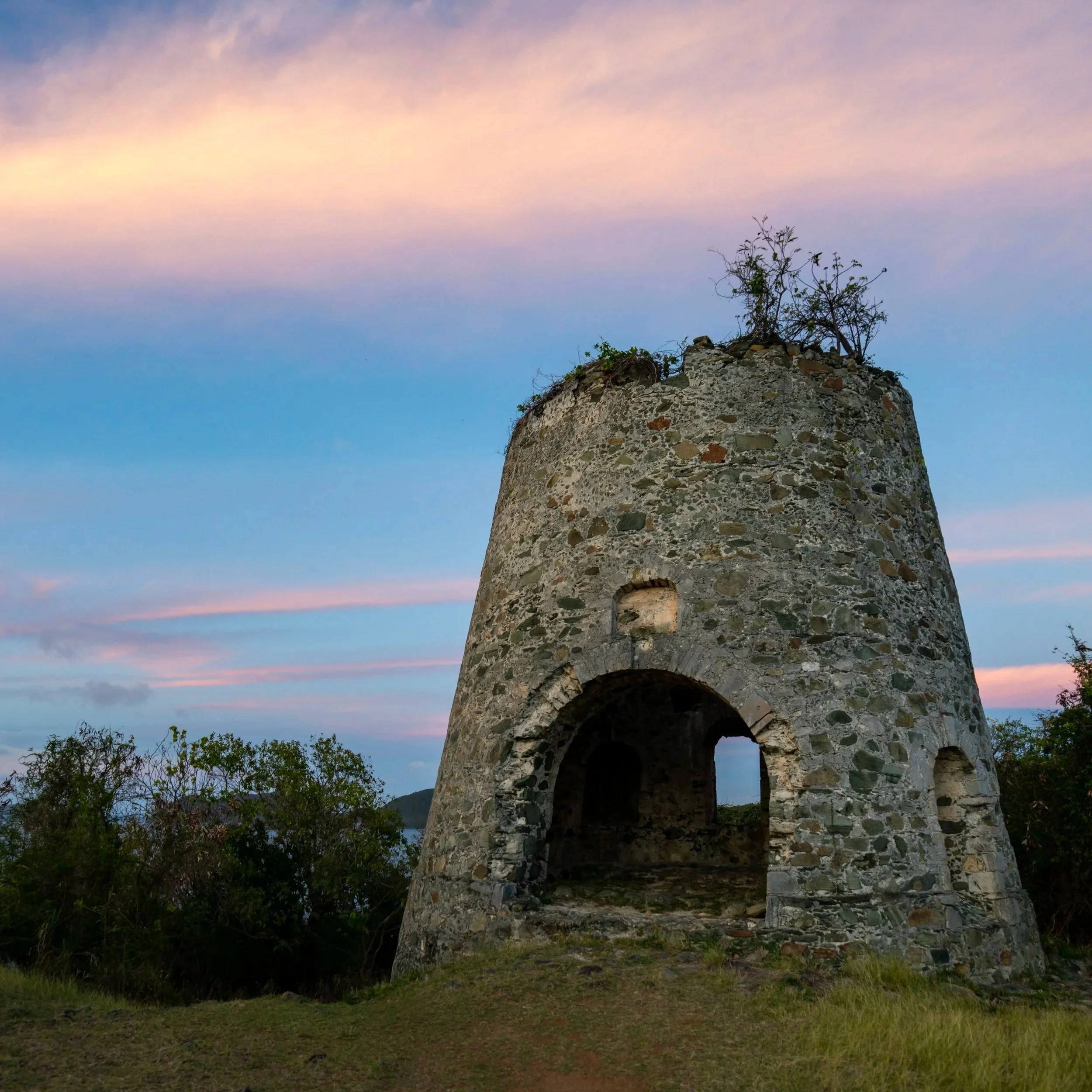
This is where the Water Catchment Trail begins to parallel the Caneel Bay Water Catchment Basin, one of many rainwater catchment systems used to gather and provide freshwater for St. John residents and visitors.
That said, the Water Catchment Trail will parallel this facility for much of the remaining hike down to North Shore Road and will become more overgrown once it reaches the fence line shortly after the junction ahead.
Lower Water Catchment-Caneel Hill Junction
This is the third and final junction with the Caneel Hill Trail, and it is a bit of a point of confusion in terms of what is the correct route and what isn’t.
By this, I mean that park maps and the signs on the trail show the Water Catchment Trail going straight, not following the spur that leads over to the Caneel Hill Trail.
However, once at the service road for the catchment facility at the bottom, there is a "No Trespassing" sign on the gate, as if the labeled Water Catchment Trail isn’t the correct route.
If you know more, please leave a comment below, but as per the park map and trail signs, this is the rest of the official Water Catchment Trail down to North Shore Road, which does get more overgrown from this point to the end.
Read My Separate Post: Caneel Hill Trail
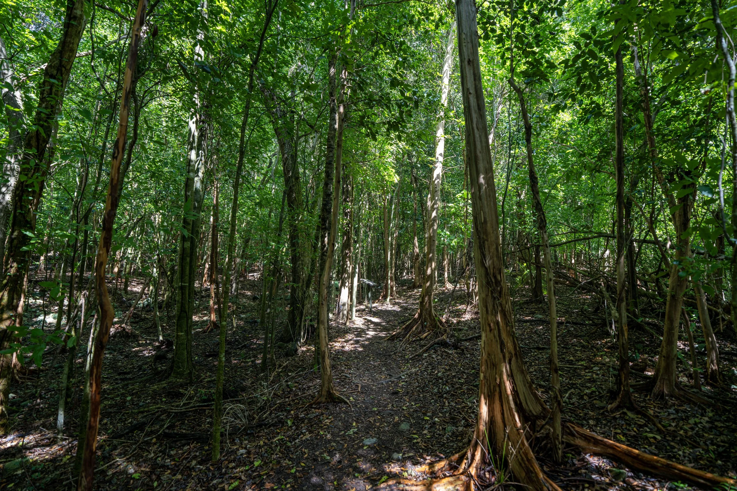
This is where the overgrowth starts to become more significant, and it’s why I recommend wearing a hooded sun shirt for both sun protection and minimal protection from thorny plants on this section.
This overgrowth is exactly why I recommend against trail running the lower elevations of the Water Catchment Trail and instead connecting with the Caneel Hill Trail at the third junction to make a loop.
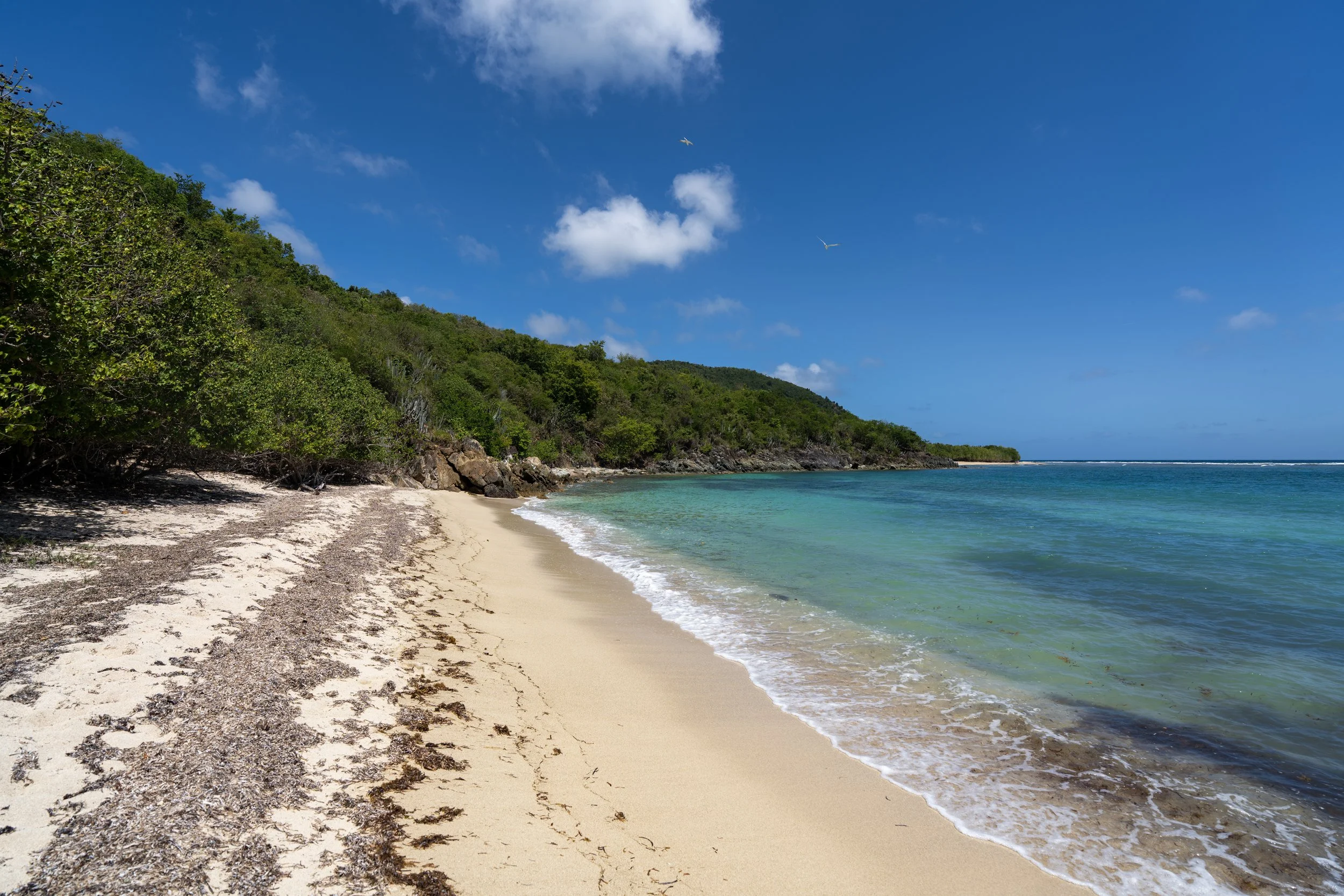
In my experience, this is where the overgrowth starts to ease up.
After 0.7 miles (1.1 km), the Water Catchment Trail finally reaches the service road for the Caneel Bay Water Catchment Basin, which leads down to North Shore Road.
Once here, go left, and the trail will reach the end of the hike just around the corner.
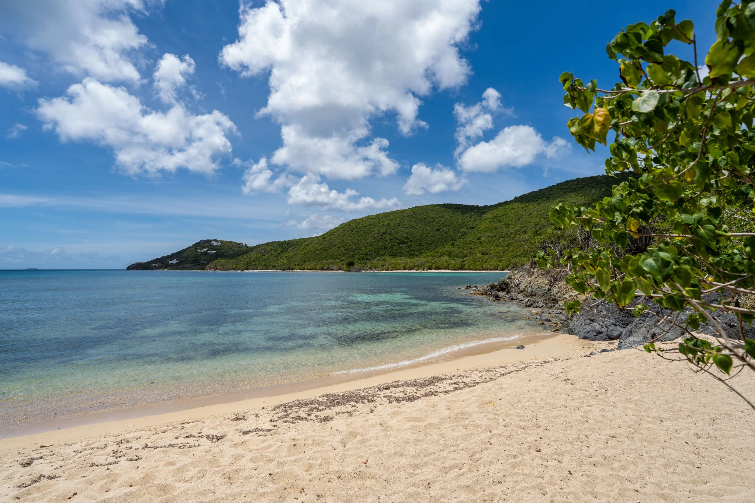
Lower Water Catchment Trailhead (North Shore Road)
This is the Lower Water Catchment Trailhead and the confusing sign I previously mentioned that conflicts with park maps and the information on the signs above.
Regardless, it’s not as if the Water Catchment Trail is trespassing anywhere inside the fenced facility, and it’s not as if many visitors venture out on the trail in general.
Once at North Shore Road, hikers can either go left to head over to the Caneel Hill Trailhead or right toward Hawksnest Beach, the best place to flag down a taxi if you’re looking for a ride back to Cruz Bay.