Hiking the Caneel Hill Trail in Virgin Islands National Park
Distance (One Way via Visitor Center): 2.4 miles / 3.9 km
Distance (One Way via Spur Trail): 2.3 miles / 3.7 km
The Caneel Hill Trail in Virgin Islands National Park is a beautiful and very hilly day hike on the east side of St. John that leads to what is arguably the best sunset spot on the entire island!
I say this while at the same time believing that there are really only two great sunset hikes in Virgin Islands National Park. They are the Caneel Hill Trail and the Ram Head Trail, just to the south of Coral Bay.
That said, the Caneel Hill Trail is far more convenient to everything in and around Cruz Bay, but in the same breath, the hike is certainly more challenging overall!
However, there is somewhat of a hidden trailhead when it comes to accessing a shortcut that leads to the best place to watch the sunset on the Caneel Hill Trail, and this hidden access point is not often shown on trail maps, which is why I encourage you to keep reading to learn more!
Caneel Hill Trailhead Parking
Parking for the Caneel Hill Trail is located at either the Cruz Bay Visitor Center, where the main trailhead is located near Mongoose Junction, or the Biosphere Reserve Center just up the hill, where visitors can begin the Caneel Hill Trail via the Spur Trail.
In either case, a free parking pass from the visitor center is required to park during most hours of the day. This is meant to discourage the general public from abusing the limited available parking spaces in Cruz Bay, as parking anywhere in town can be quite a challenge.
That said, deciding whether to begin at the Lower Caneel Hill Trailhead near Mongoose Junction or the Caneel Hill Spur Trailhead up the hill will likely come down to where an available parking space can be found. However, if you’re more interested in which route is easier, the Spur Trailhead has about 225 ft. (69 m) less elevation to gain, since the parking area is higher on the hill.
Alternatively, there is a third option to begin at the Caneel Hill Trailhead off North Shore Road, the trailhead near the end of this article.
Google Maps Directions: Caneel Hill Trailhead (Visitor Center) / Caneel Hill Spur Trailhead (Biosphere Reserve Center) / Caneel Hill Trailhead (North Shore Road)
Hiking Checklist - Virgin Islands
Here is a complete list of must-have things that you will want for any hike in Virgin Islands National Park.
Hiking the Caneel Hill Trail
Walking to the Trailhead
When beginning the Caneel Hill Trail via the Cruz Bay Visitor Center, hikers must walk about 0.1 miles (0.2 km) from the parking area toward Mongoose Junction to reach the start of the hike.
To begin reading from the Caneel Hill Spur Trail, click here.
Mongoose Junction
Once at Mongoose Junction, go left on North Shore Road to find the Caneel Hill Trailhead at the base of the hill.
Caneel Hill Trailhead
Just a few steps past the National Park Service maintenance area, North Shore Road will pass the Caneel Hill Trailhead on the right-hand side.
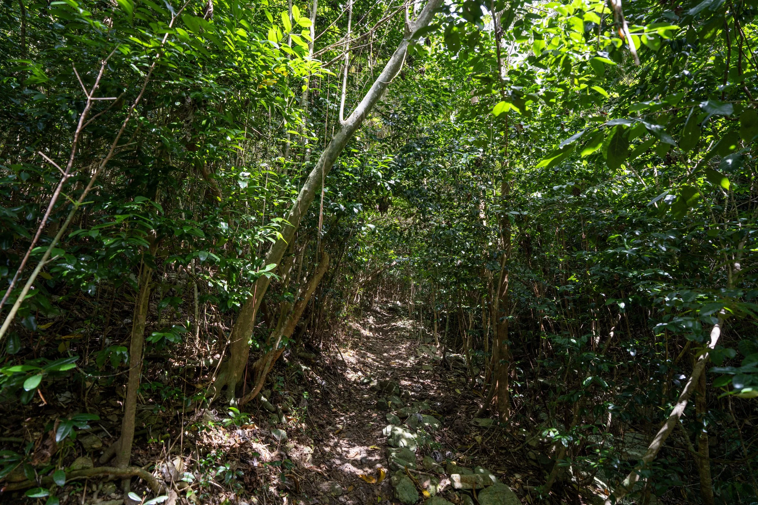
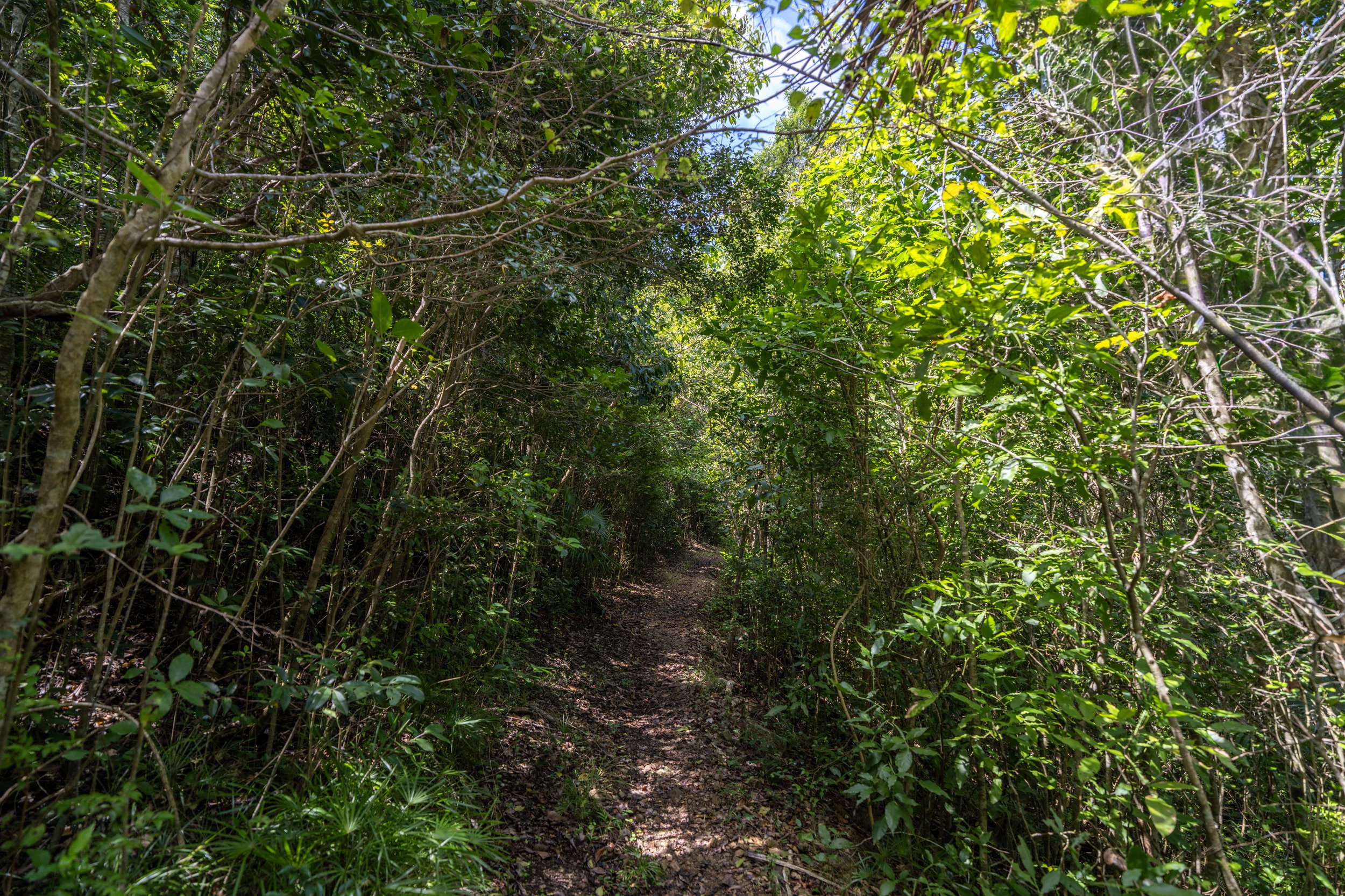
Shortly after starting the hike, the Caneel Hill Trail will begin climbing, gaining roughly 325 ft. (99 m) over the first 0.3 miles (0.5 km) to the point where it meets the Caneel Spur Trail from the other direction.
The one thing I hope these photos show more than anything else is that the Caneel Hill Trail is almost always climbing or descending, even after reaching the summit of Caneel Hill.
I mention this because this is truly one of the hilliest day hikes across Virgin Islands National Park, and as a result, some hikers may want to bring trekking poles.
In addition to poles, a hooded sun shirt can be very useful on the Caneel Hill Trail—more than on many other day hikes in Virgin Islands National Park—as the overstory canopy is notably thinner at these lower elevations compared to trails that begin higher off Centerline Road, like the Maria Hope Trail.
Caneel Hill-Caneel Hill Spur Junction
After 0.3 miles (0.5 km), the Caneel Hill Trail reaches the first of many junctions on the full hike to North Shore Road, the first being the Caneel Hill Spur Trail that leads down to the Biosphere Reserve Center.
Once here, go right to continue hiking up toward both Caneel and Margaret Hill.
After the two routes come together, the Caneel Hill Trail continues to climb steeply.
In my opinion, this is most challenging not because of the elevation gain itself, but because of the high humidity in the Virgin Islands!
This is where the Caneel Hill Trail begins to climb six short switchbacks before the summit of Caneel Hill.
This is where the Caneel Hill Trail reaches the top of the six notable switchbacks before the viewpoint.
After the six main switchbacks below Caneel Hill, the trail continues to wind back and forth, but the turns are not as easy to count in the sense of being true switchbacks like the sections below.
At really no point from either trailhead is there a break from the constant elevation gain on the hike up to Caneel Hill.
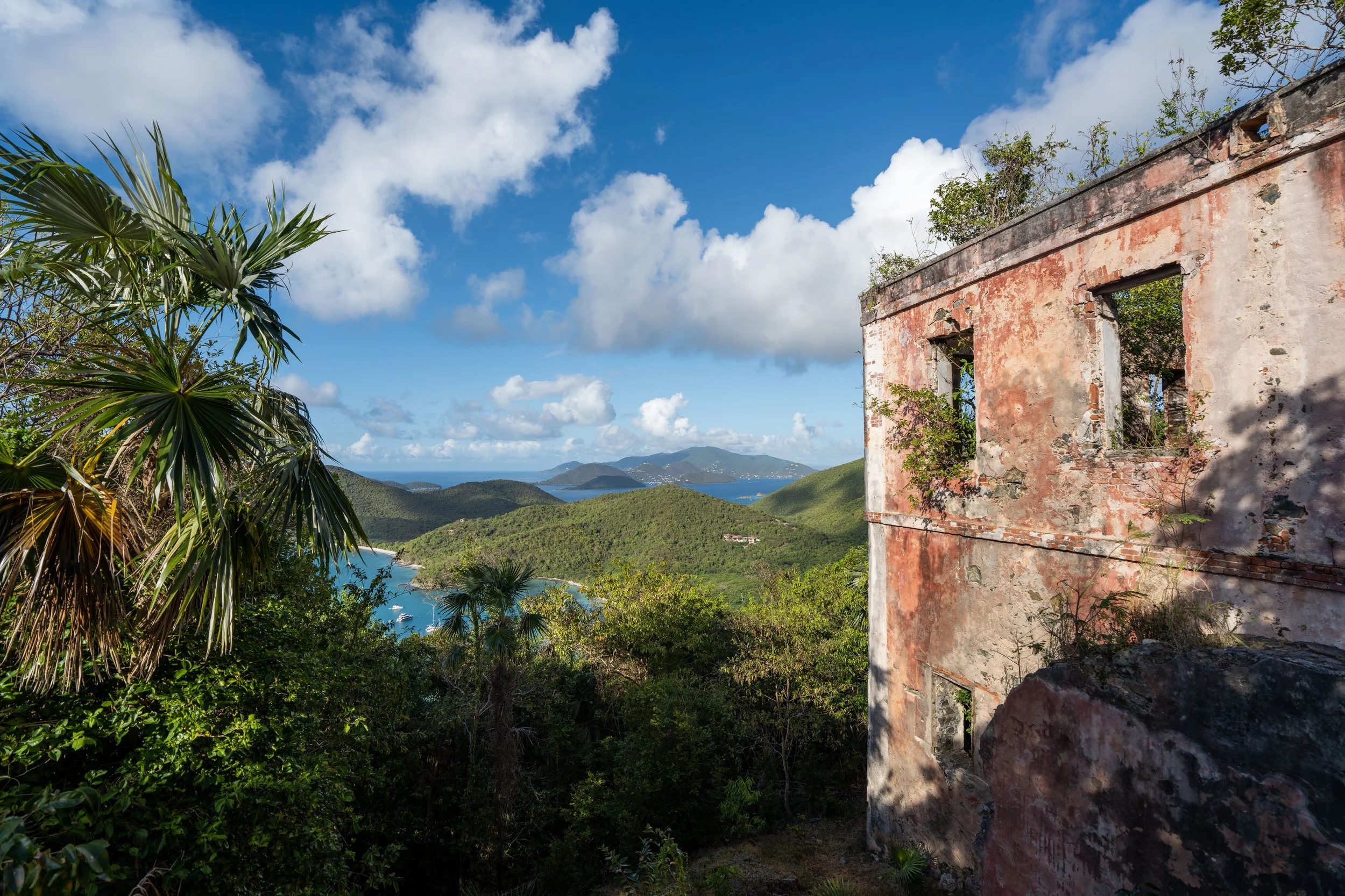
Caneel Hill
After roughly 0.75 miles (1.2 km) from the trailhead near Mongoose Junction, the Caneel Hill Trail reaches the summit of Caneel Hill, the lower of the two high points on the full hike.
That said, I believe that Caneel Hill is second best in terms of viewpoints on the Caneel Hill Trail, which is why I recommend continuing farther to Margaret Hill, about 0.6 miles (1.0 km) from this point.
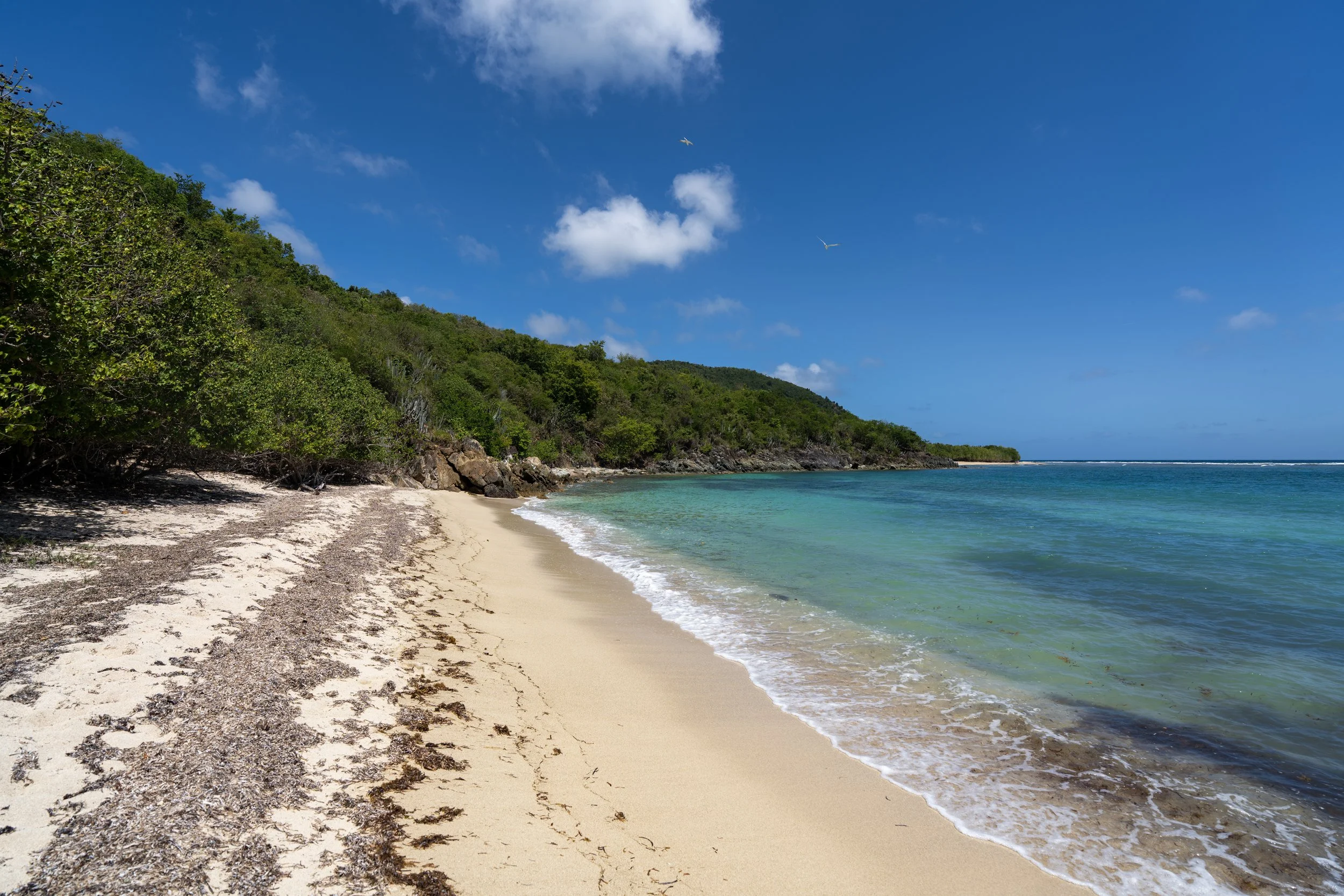
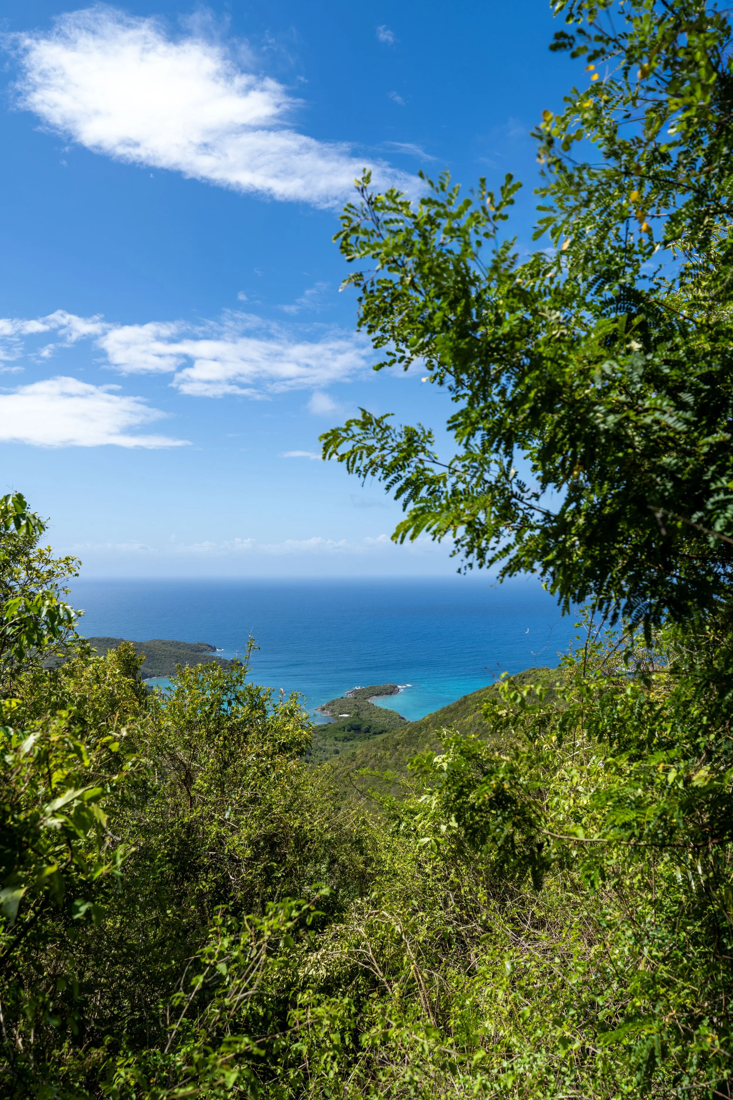
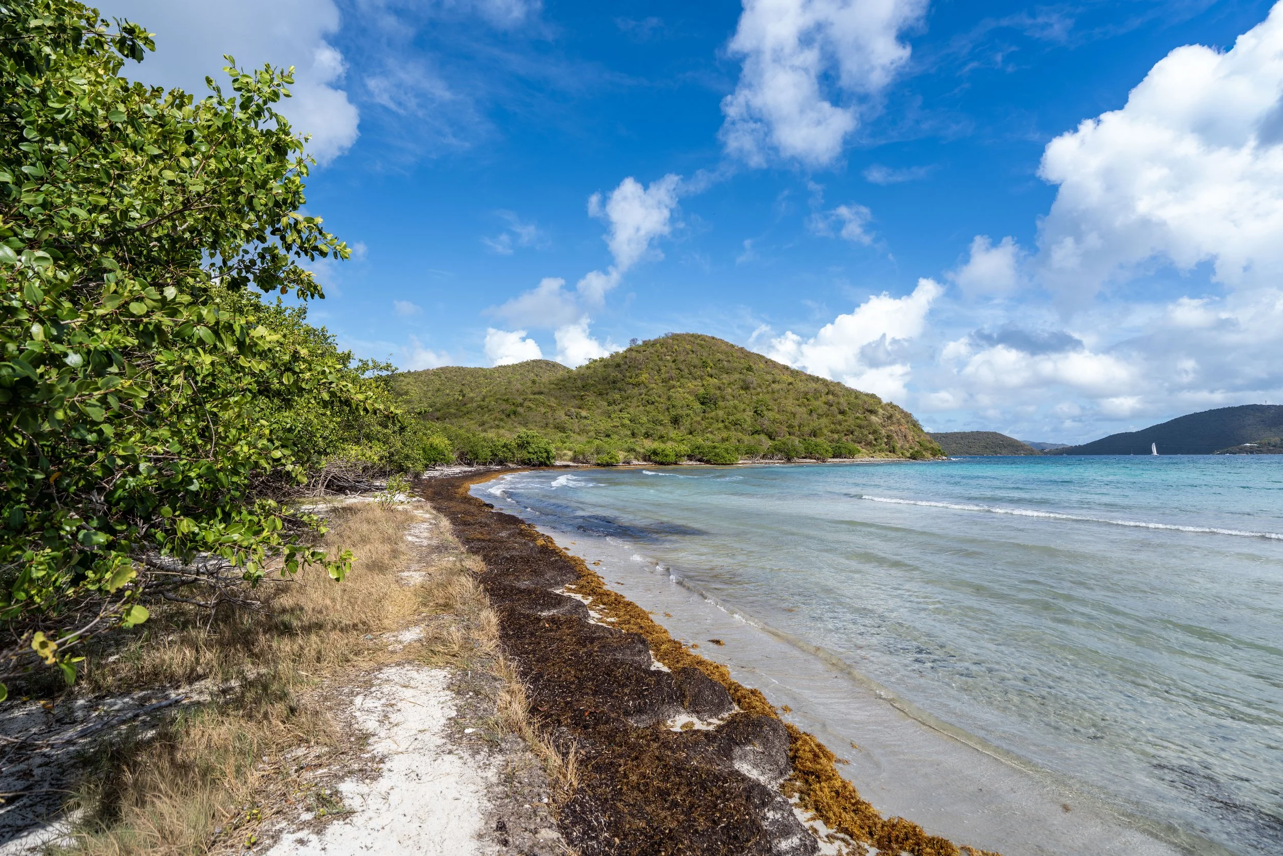
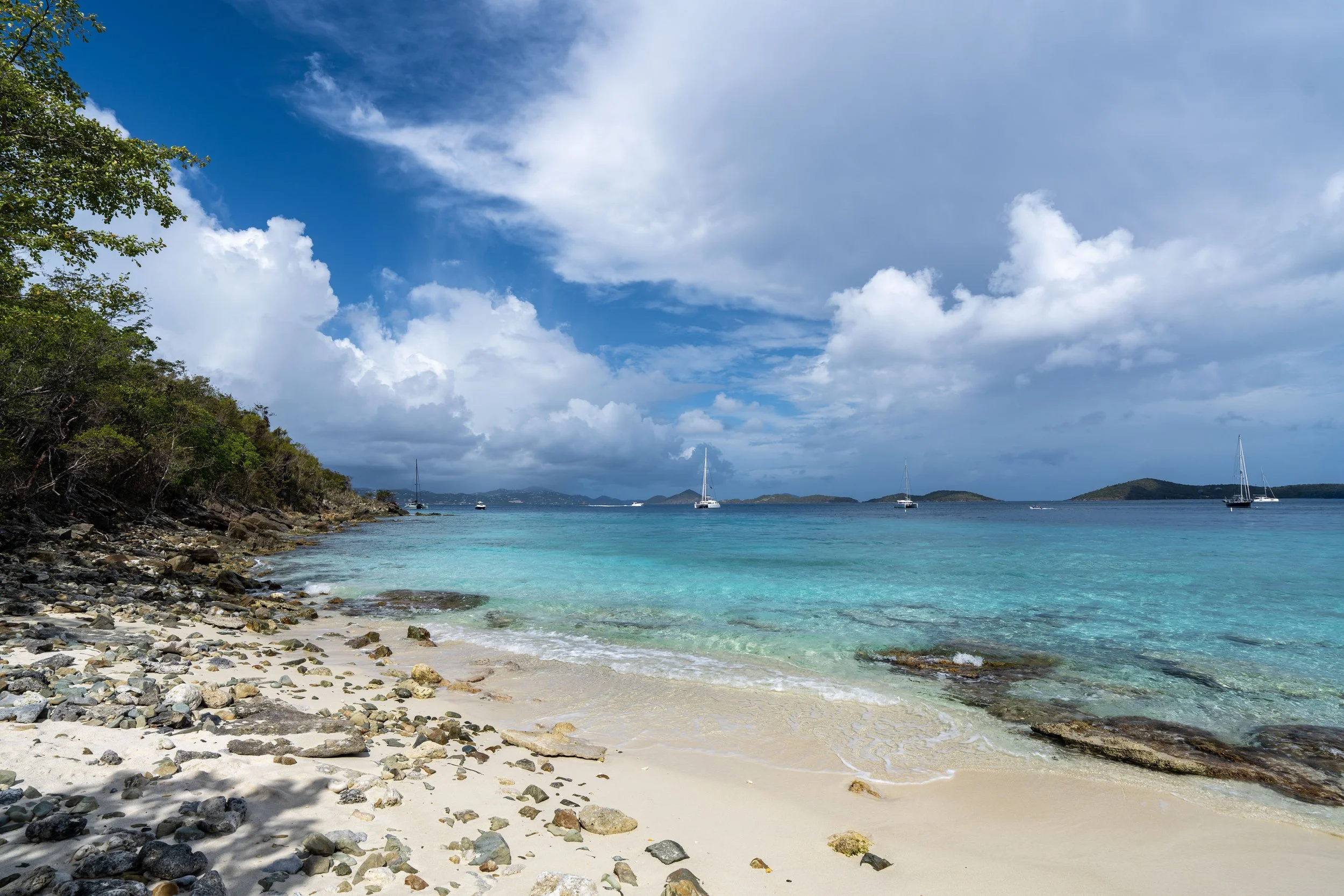
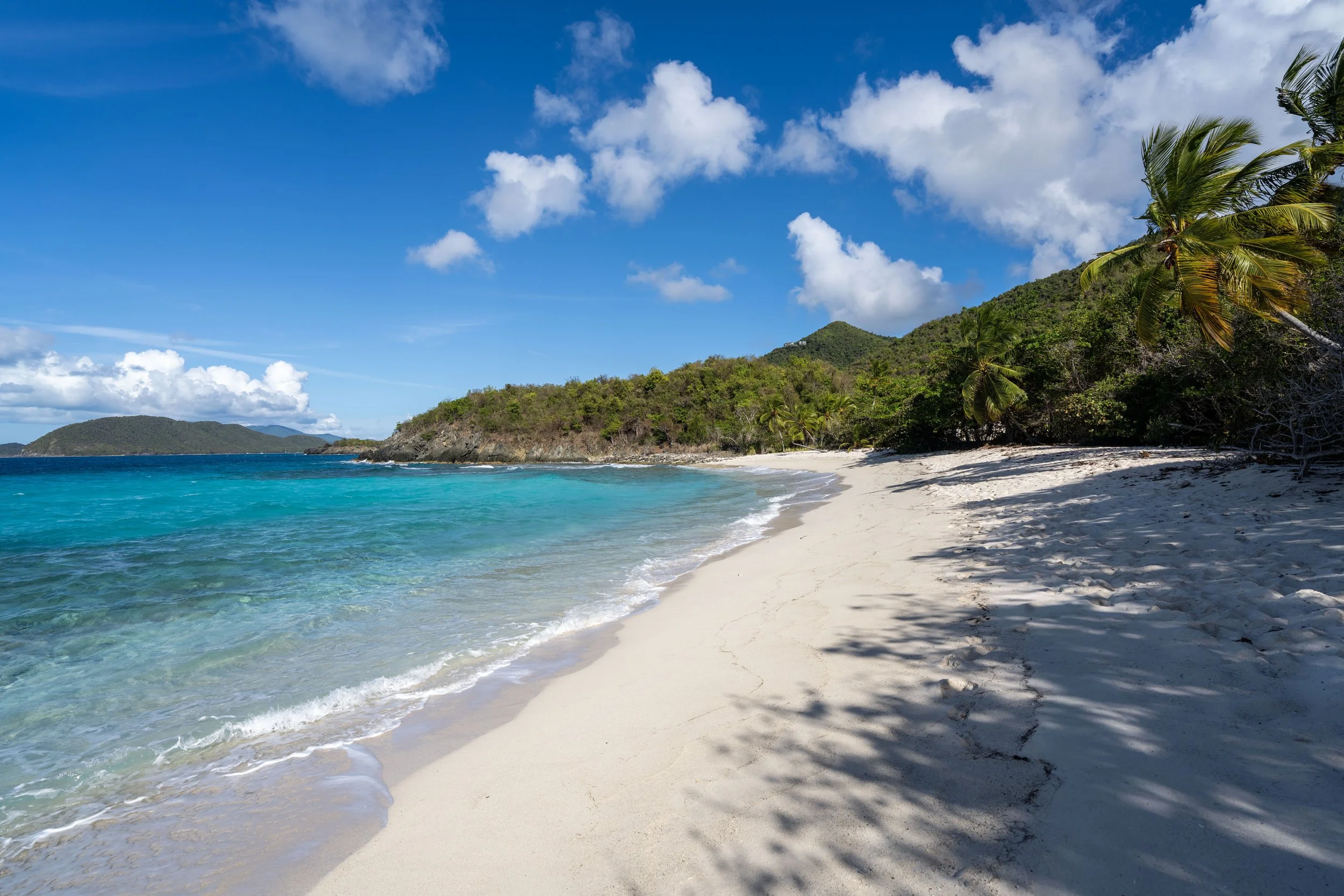
From the platform atop Caneel Hill, the views look out over Cruz Bay and Hawksnest Point on the North Shore.
Past Caneel Hill, the Caneel Hill Trail starts to descend toward the low point between both Caneel Hill and Margaret Hill, which is also the junction with the Tamarind Tree Trail.
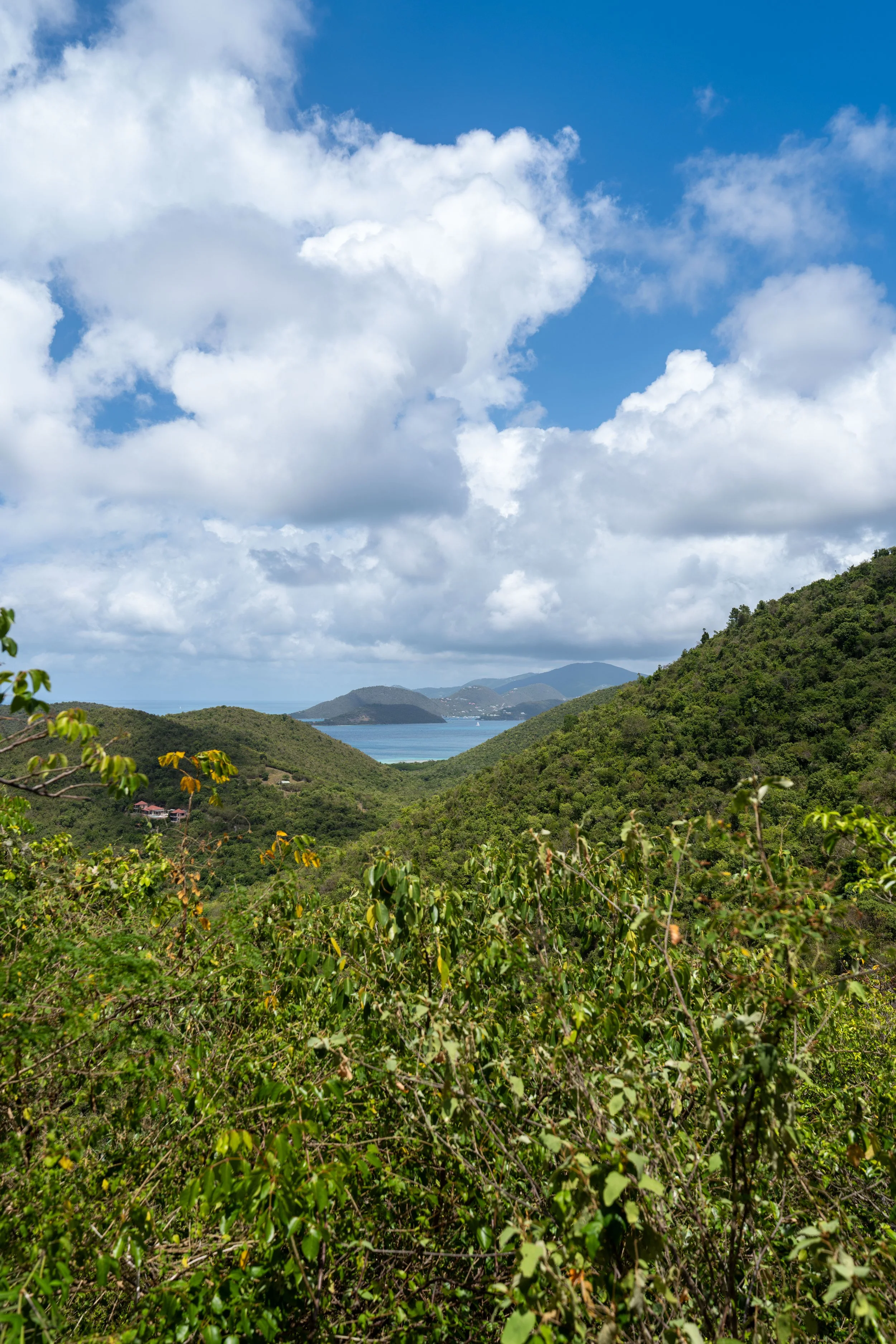
This is one of the only viewpoints between Caneel and Margaret Hill.
This stretch between Caneel Hill and the Tamarind Tree Trail is roughly 0.3 miles (0.5 km).
I think it’s worth noting that this descent from the summit of Caneel Hill to the Tamarind Tree Trail is much more gradual than the ascent from the Tamarind Tree Trail to the top of Margaret Hill.
This is another reason why taking the shortcut to the top of Margaret Hill is ideal for a quick sunset hike, as opposed to beginning from either trailhead in Cruz Bay.
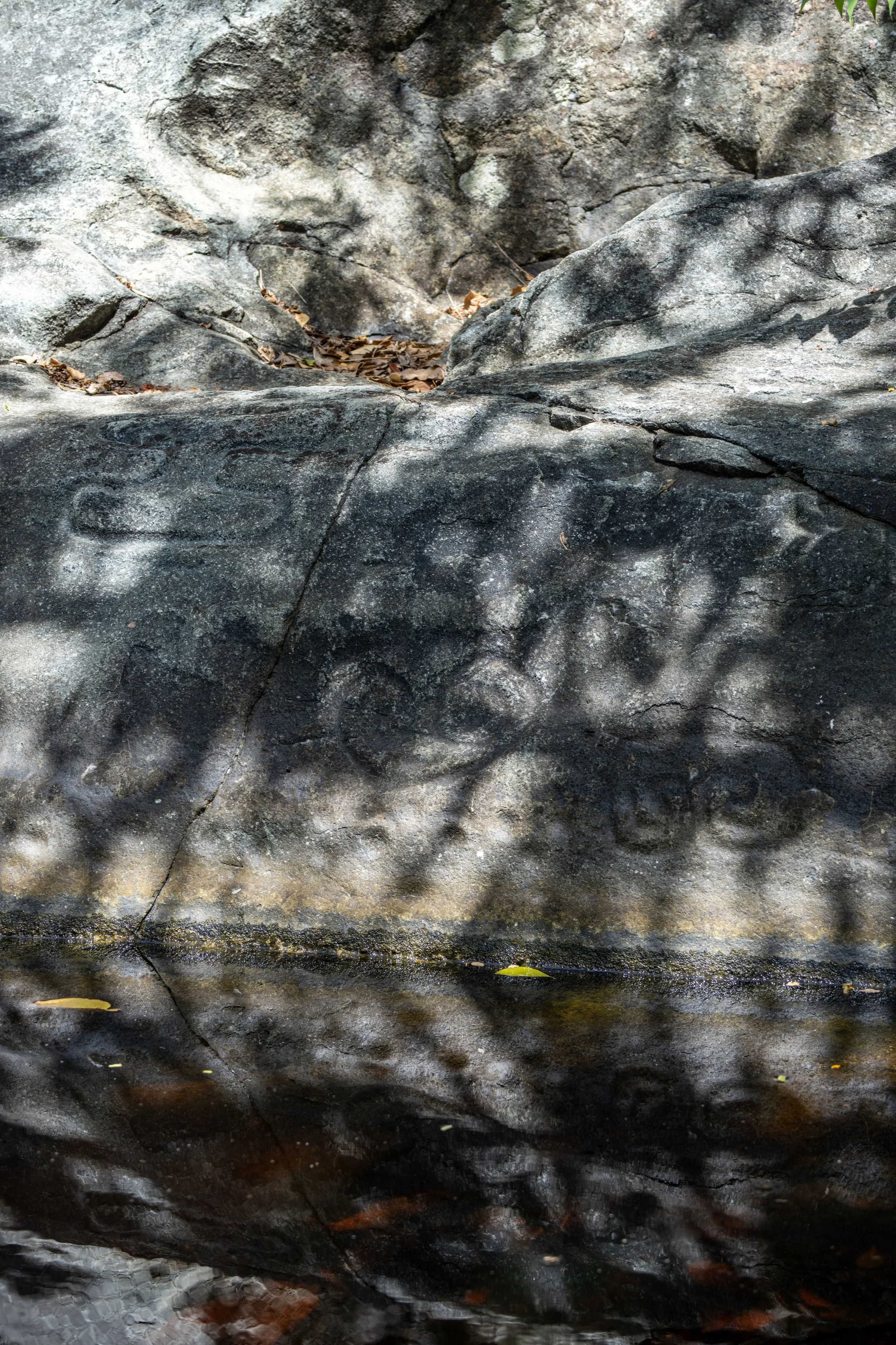
While not being native to Virgin Islands National Park, the Red-footed Tortoise is a bit of a rare find while hiking on St. John!
They were believed to have been introduced by the Taíno, but what makes them so hard to spot is just how easy they can be to walk right by and not even realize they are there.
However, this little one was hanging out directly alongside the trail, which allowed me to get great photos before I continued on to Margaret Hill.
Caneel Hill-Tamarind Tree Junction
At the low point between Caneel Hill and Margaret Hill, the Caneel Hill Trail passes the top of the Tamarind Tree Trail, a very short 0.4-mile (0.6 km) connector between this point and North Shore Road.
From here, go straight to stay on the ridgeline and continue hiking to Margaret Hill. This is where the Caneel Hill Trail will start to climb again until it reaches the summit just past the best viewpoint.
Read My Separate Post: Tamarind Tree Trail
This section between the Tamarind Tree Trail and Margaret Hill can, once again, be quite challenging because of the heat and humidity on a beautiful sunny day like this in Virgin Islands National Park!
I also think it’s worth mentioning again that some hikers may want to use trekking poles on the Caneel Hill Trail, considering that the vast majority of the hike is either climbing or descending from whichever direction you decide to begin.
In my opinion, the uphill section between the Tamarind Tree Trail and Margaret Hill is one of the most challenging parts of the Caneel Hill Trail, especially considering everything climbed to get to this point from the Cruz Bay Visitor Center.
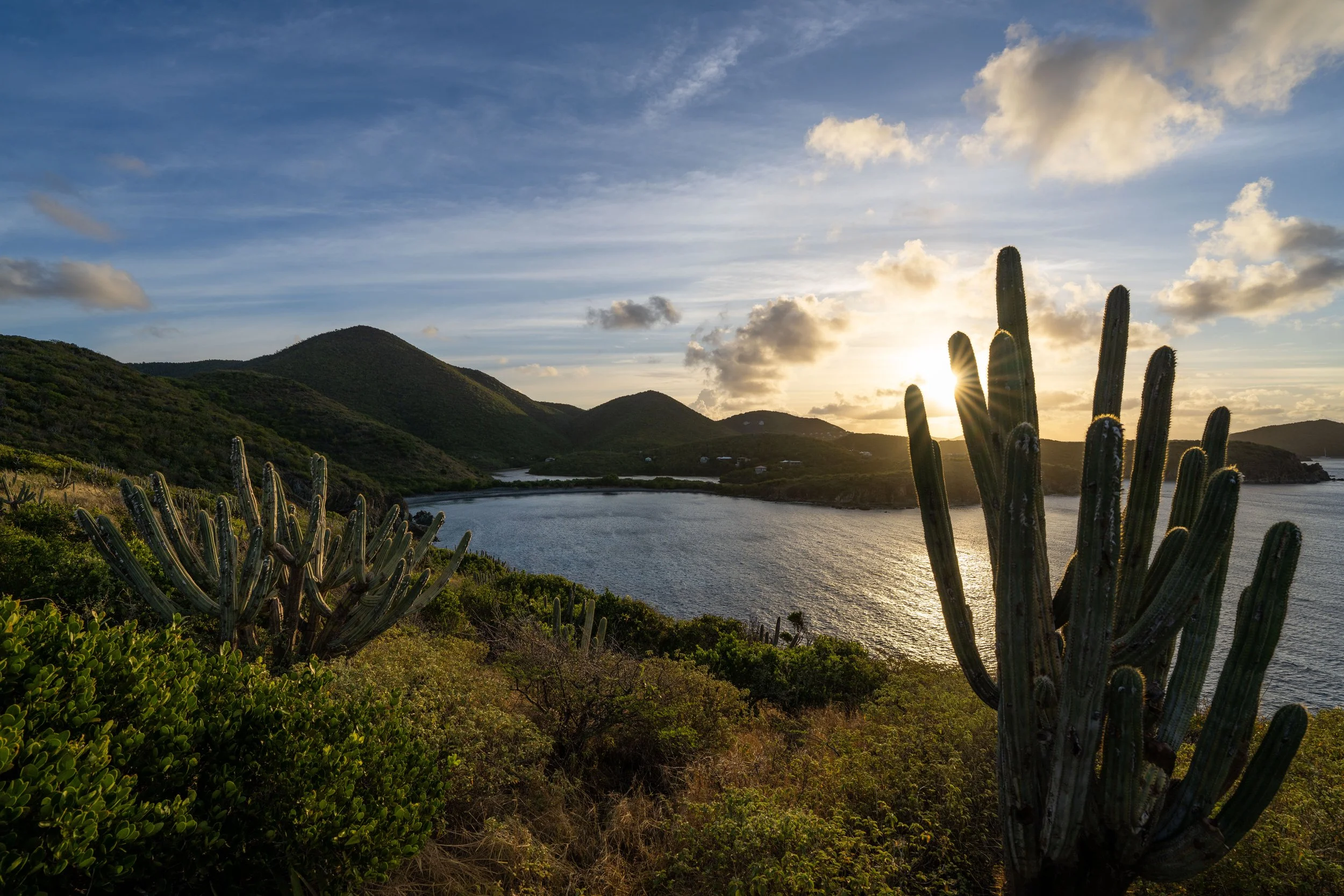
Just before the Caneel Hill Trail reaches the summit of Margaret Hill, the trail splits, with the main path continuing to the left and the best viewpoint on the entire trail located just a few steps to the right.
This is where I recommend catching sunset on a clear evening!
This is the short path out to the viewpoint.
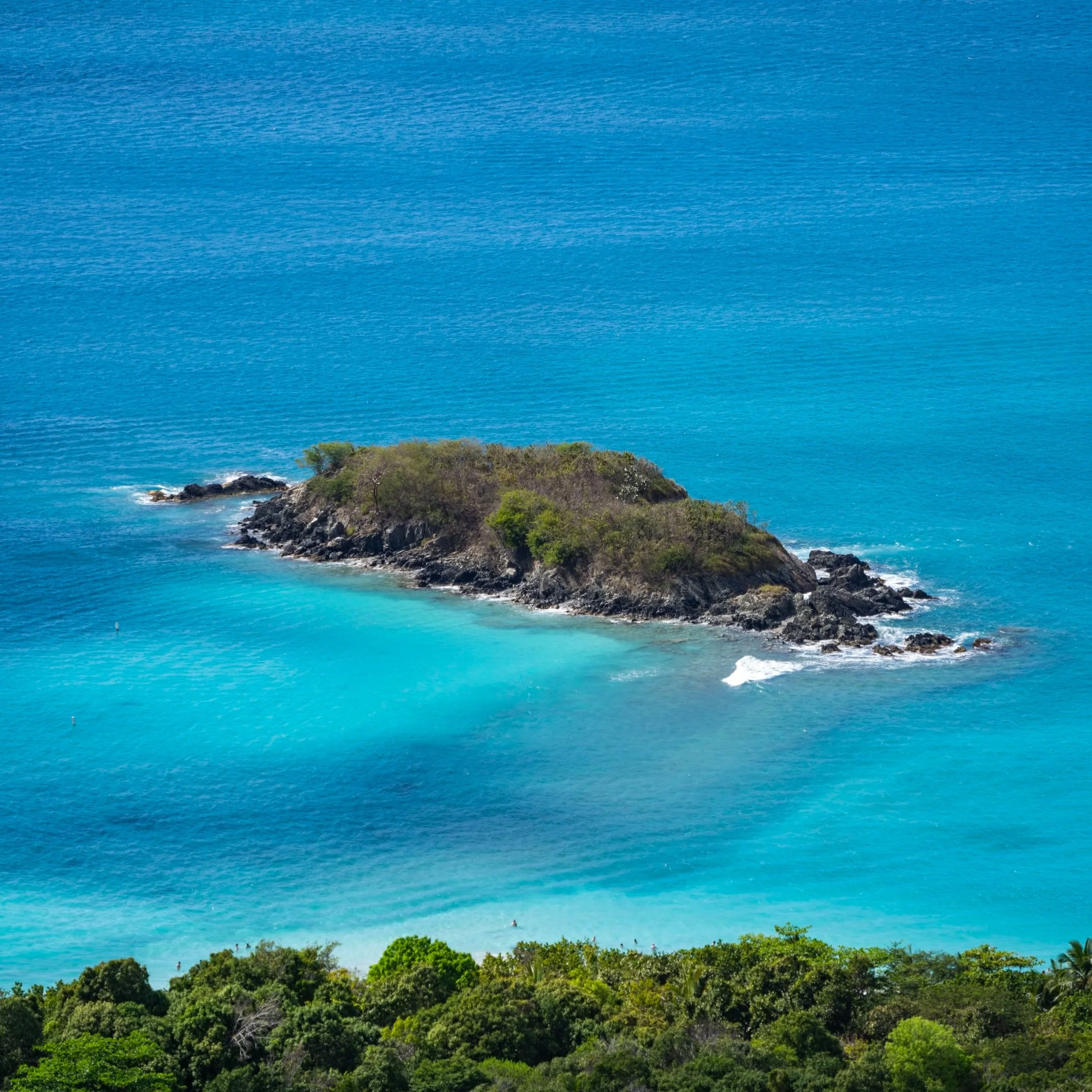
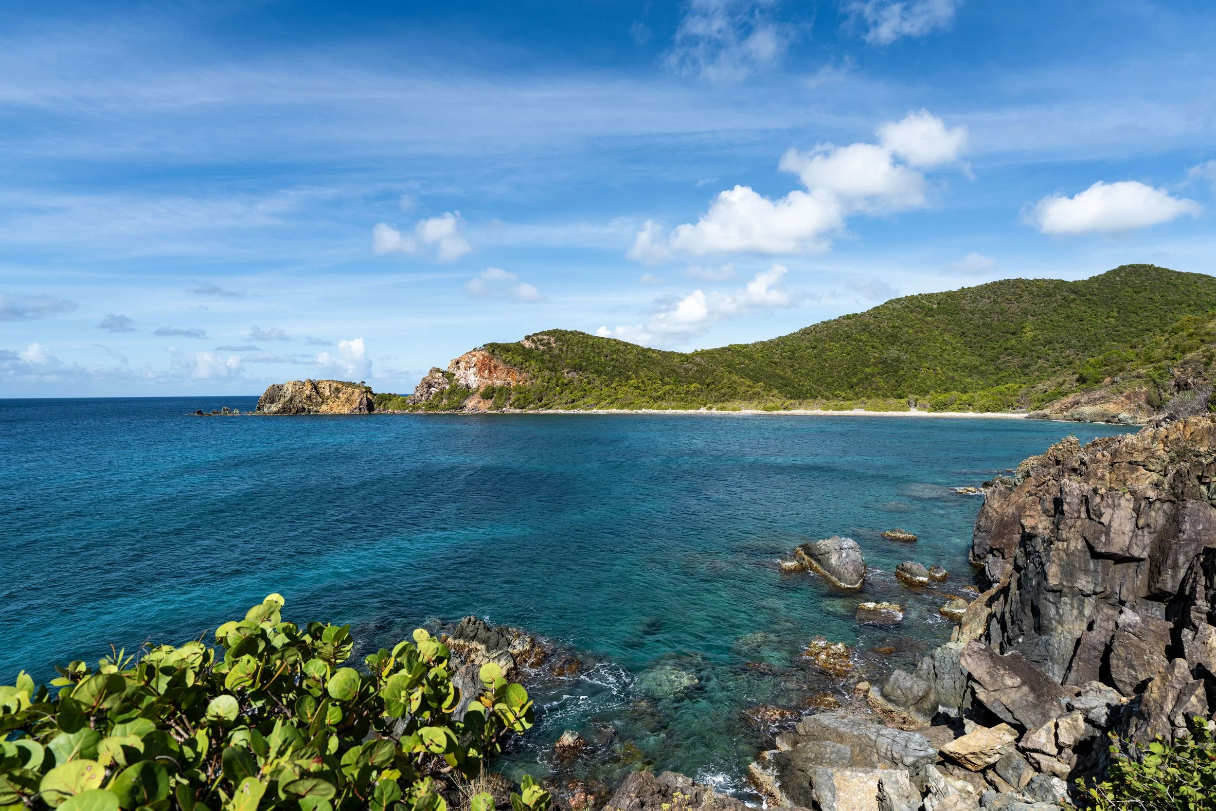
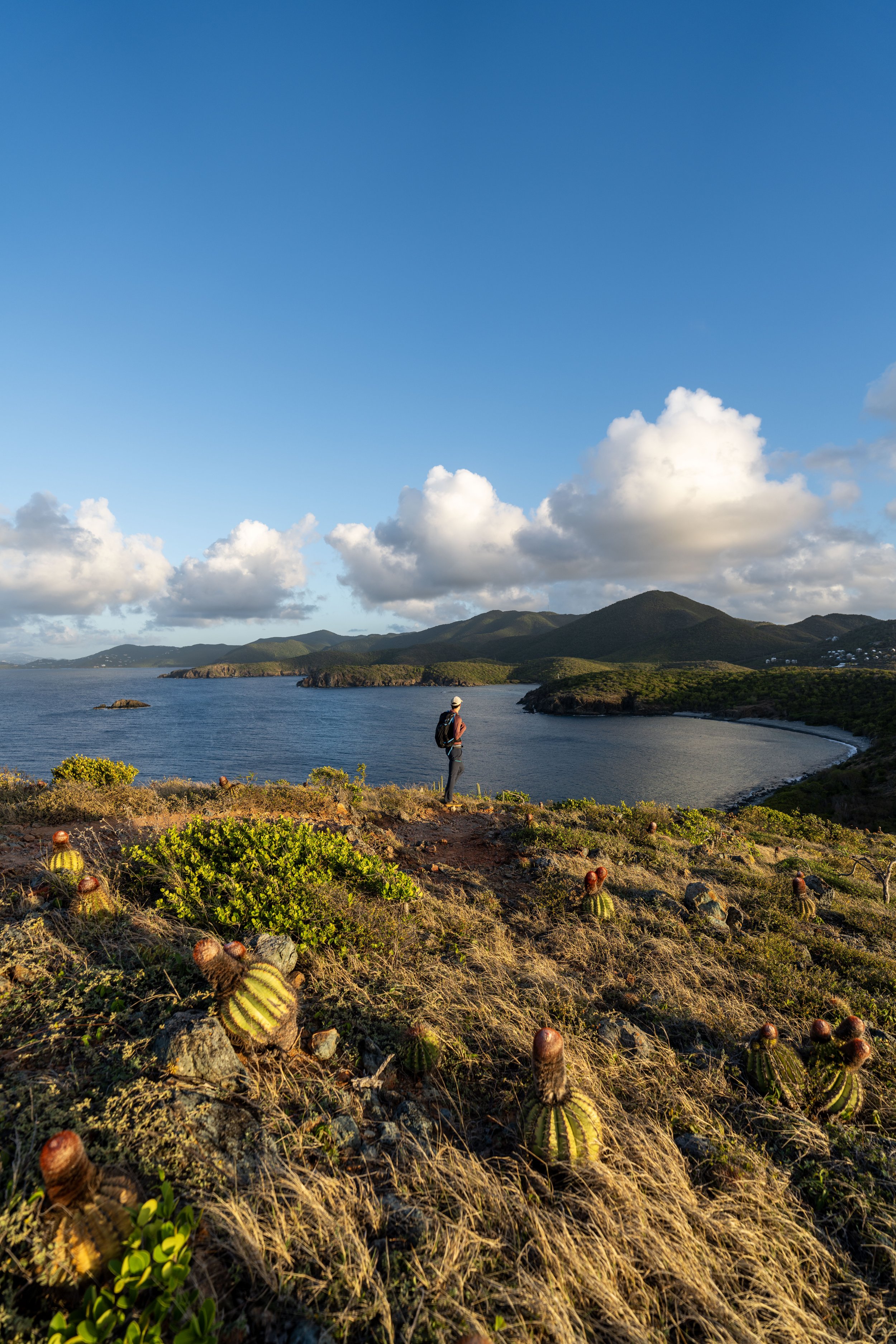
Margaret Hill Overlook
These rocks just below the summit of Margaret Hill are without a doubt the best and most beautiful viewpoint on the entire Caneel Hill Trail, far more beautiful than the views from the platform atop Caneel Hill, in my opinion!
That said, I have yet to show the best and easiest access point to get to this panoramic viewpoint, which can be found just on the other side of Margaret Hill.
Past the viewpoint, the Caneel Hill Trail continues to climb for a short distance, which is important to keep in mind when hiking up from the shortcut, as the rocks at the viewpoint are located on the far (west) side of the hill.
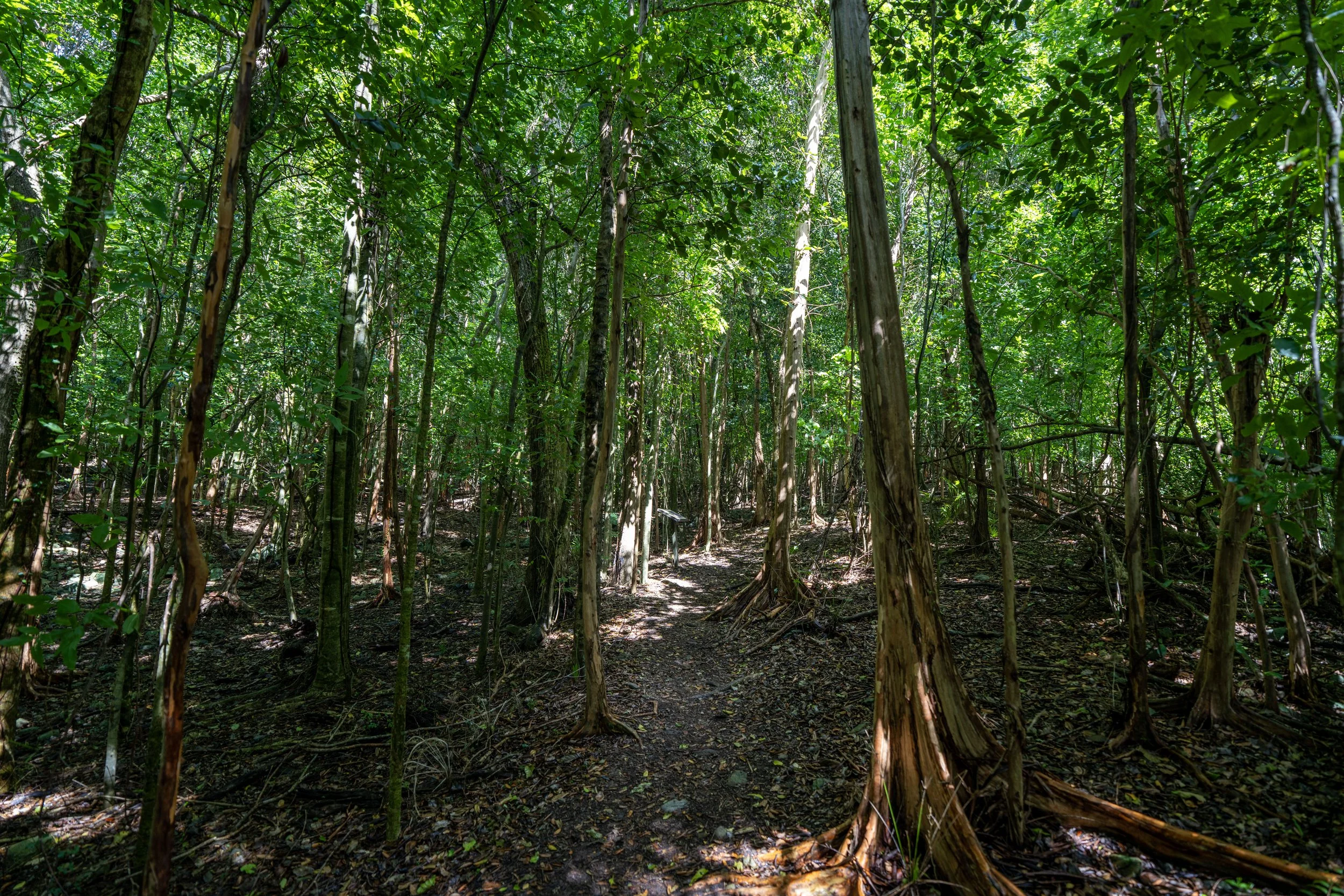
Margaret Hill
This is the summit of Margaret Hill and the high point on the Caneel Hill Trail.
As I’m sure it’s obvious, there are no views from the true summit, which is exactly why I recommend climbing up the rocks shown previously, as there is no better viewpoint on the hike and possibly in Virgin Islands National Park!
This is where the steep descent off Margaret Hill begins, and this is the section of the Caneel Hill Trail that must be hiked when using the shortcut to get to the viewpoint on Margaret Hill with the least amount of effort.
Upper Caneel Hill-Water Catchment Junction
After roughly 0.25 miles (0.4 km) since the viewpoint on Margaret Hill, the Caneel Hill Trail reaches the first of three junctions with the Water Catchment Trail, a seemingly insignificant day hike in Virgin Islands National Park that very few visitors venture out to see.
However, this junction, and the trailhead directly off Centerline Road, are exactly the hidden starting point I’ve been referencing throughout this article, as parking there cuts out the vast majority of the hike and elevation gain to reach the best viewpoint on Margaret Hill. This is also the section of the trail I mentioned that is not always shown on park maps.
That said, this is exactly where I recommend beginning if you’re most interested in parking at the closest trailhead to make a quick sunset hike out of the Caneel Hill Trail.
All this aside, go left at this split to continue on the Caneel Hill Trail toward North Shore Road below.
Read My Separate Post: Water Catchment Trail
This next section between the Upper and Middle Water Catchment junctions is roughly 0.2 miles (0.3 km) and follows an almost all-downhill trail.
Middle Caneel Hill-Water Catchment Junction
This is the middle connection with the Water Catchment Trail, and it’s by far the easiest to get off track!
By this, I mean that the much more obvious path continues straight toward the open switchback (junction) in the photo below.
However, the true Caneel Hill Trail turns a very sharp, unsuspecting switchback before the wide-open junction shown below, meaning that if you end up on the Water Catchment Trail by mistake, it’s best to turn back to find the hidden switchback shown here.
Read My Separate Post: Water Catchment Trail
If you’ve hiked as far as this split in the trail, you’ve missed the hidden switchback and need to turn back to stay on the Caneel Hill Trail.
This is what the real Caneel Hill Trail should look like after turning at the correct switchback!
This next section measures just 0.2 miles (0.3 km) between the Middle and Lower Water Catchment junctions.
Lower Caneel Hill-Water Catchment Junction
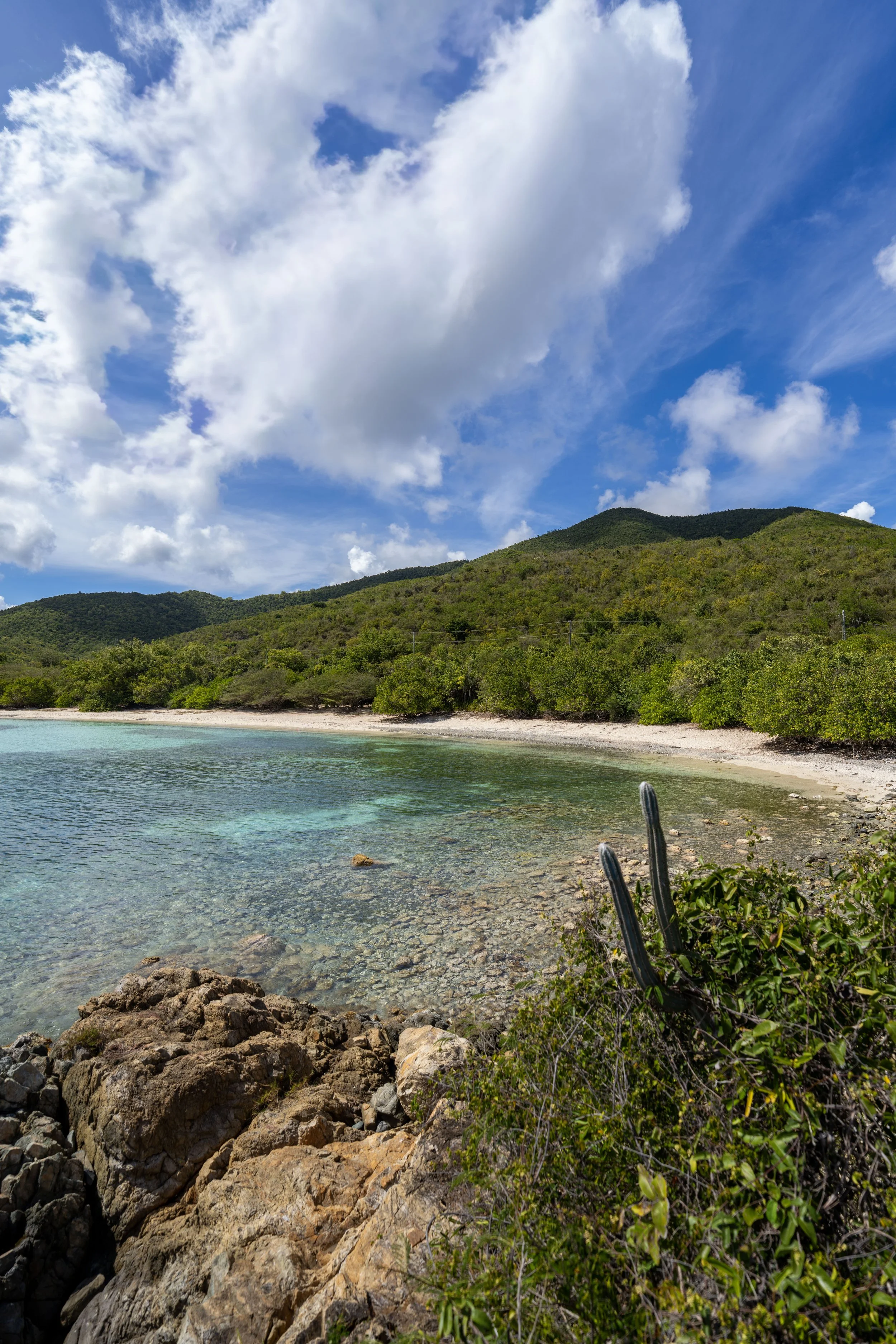
This is the third, final, and longest connection with the Water Catchment Trail, and it’s the section most often used by hikers since the real Water Catchment Trailhead off North Shore Road is very vague and a bit overgrown.
In any case, go left at this split to begin the final section of the Caneel Hill Trail down to the trailhead off North Shore Road.
Read My Separate Post: Water Catchment Trail
This final stretch is roughly 0.4 miles (0.6 km) from the Lower Water Catchment Spur to the North Shore Road Trailhead.
This is the only switchback between the Lower Water Catchment junction and North Shore Road.
This hard right turn is a nice sign that there is only 0.1 miles (0.2 km) left before the Caneel Hill Trail reaches North Shore Road!
Caneel Hill Trailhead (North Shore Road)
After 2.4 miles (3.9 km) from the Cruz Bay Visitor Center, the Caneel Hill Trail finally meets North Shore Road, which is easily the least popular trailhead to begin the hike.
However, this trailhead can make for a great spot to get picked up by those in your party uninterested in going for a hike, which cuts out the need to re-hike all the tedious hills to get back to either trailhead near Cruz Bay.
Alternatively, there is the possibility of flagging down a taxi to get a ride back, but it would be much easier to get a ride from Hawksnest Beach just down the road, as taxis are more accustomed to picking up visitors at the beach than those out hiking.
Caneel Hill Spur Trailhead
If you decide to begin the Caneel Hill Trail from the Biosphere Reserve Center, this is the short 0.2-mile (0.3 km) section on the Caneel Hill Spur Trail.
On a different note, this is also the same trailhead that serves the Lind Point Spur Trail.
Read My Separate Post: Lind Point Trail
As previously mentioned, the Caneel Hill Spur Trail cuts out about 225 ft. (69 m) of elevation compared to the hike via Mongoose Junction that begins near the Cruz bay Visitor Center.
Caneel Hill-Caneel Hill Spur Junction
This is where the Caneel Hill Spur meets the Caneel Hill Trail that begins near the Cruz Bay Visitor Center and Mongoose Junction.
Once at this split, go straight to continue hiking up to Caneel and Margaret Hill beyond.
To skip back to this same junction above, click here.