Hiking the Leinster Bay Trail to Waterlemon Cay in Virgin Islands National Park
Distance (One Way to Waterlemon Access): 1.0 miles / 1.6 km
The Leinster Bay Trail in Virgin Islands National Park is a flat, coastal day hike on the North Shore of St. John that leads to a beautiful white-sand beach and the best onshore access to Waterlemon Cay—one of the best places to snorkel across the entire island!
Yes, the Leinster Bay Trail is renowned for its relatively easy access to Waterlemon Cay, as it is the best free way to reach the truly spectacular snorkeling just offshore.
On a different note, the Leinster Bay Trail is also one of just a few flat day hikes in Virgin Islands National Park, something that is quite rare on the island, as St. John is overall very hilly!
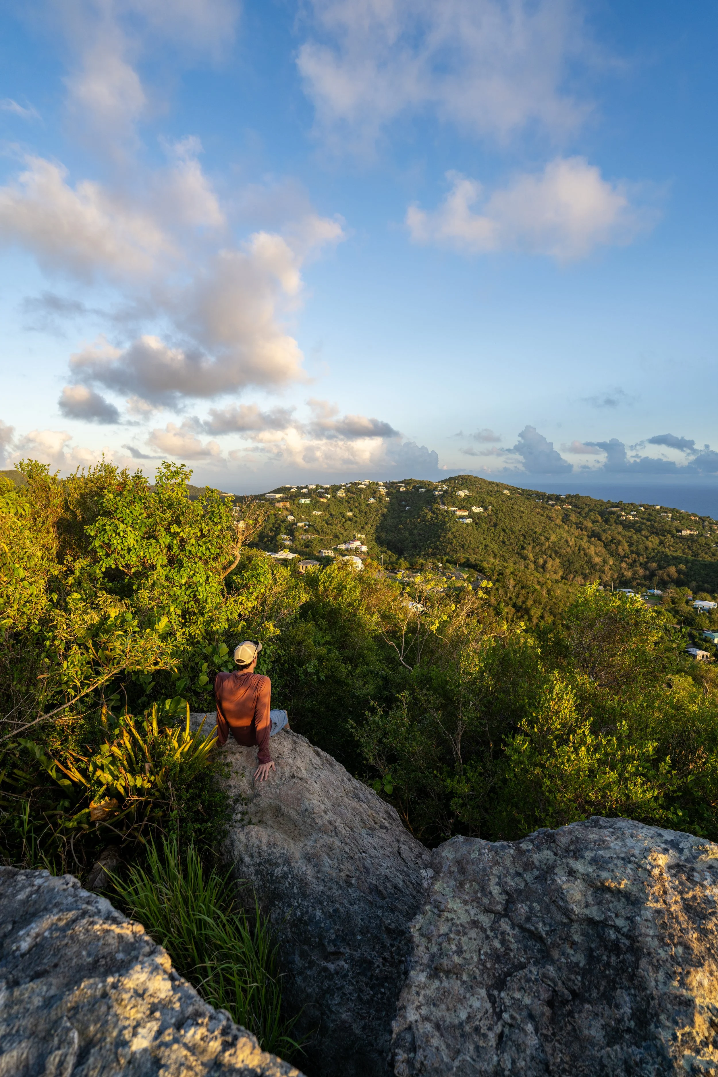
This is all to say that the Leinster Bay Trail is one of the best family-friendly hikes on St. John and, in my opinion, one of the best things to do in Virgin Islands National Park!
My Print - Leinster Bay Trail
Leinster Bay Trailhead Parking
Parking for the Leinster Bay Trail is located near the end of Annaberg Mary Creek Road, in the same parking area that serves the Annaberg Sugar Mill Ruins.
That said, the Leinster Bay Trail and Waterlemon Cay are among the more popular places to visit on the North Shore of St. John, meaning that finding parking can be challenging during the busiest mid-morning and afternoon hours.
Google Maps Directions: Leinster Bay Trailhead
Hiking Checklist - Virgin Islands
Here is a complete list of must-have things that you will want for any hike in Virgin Islands National Park.
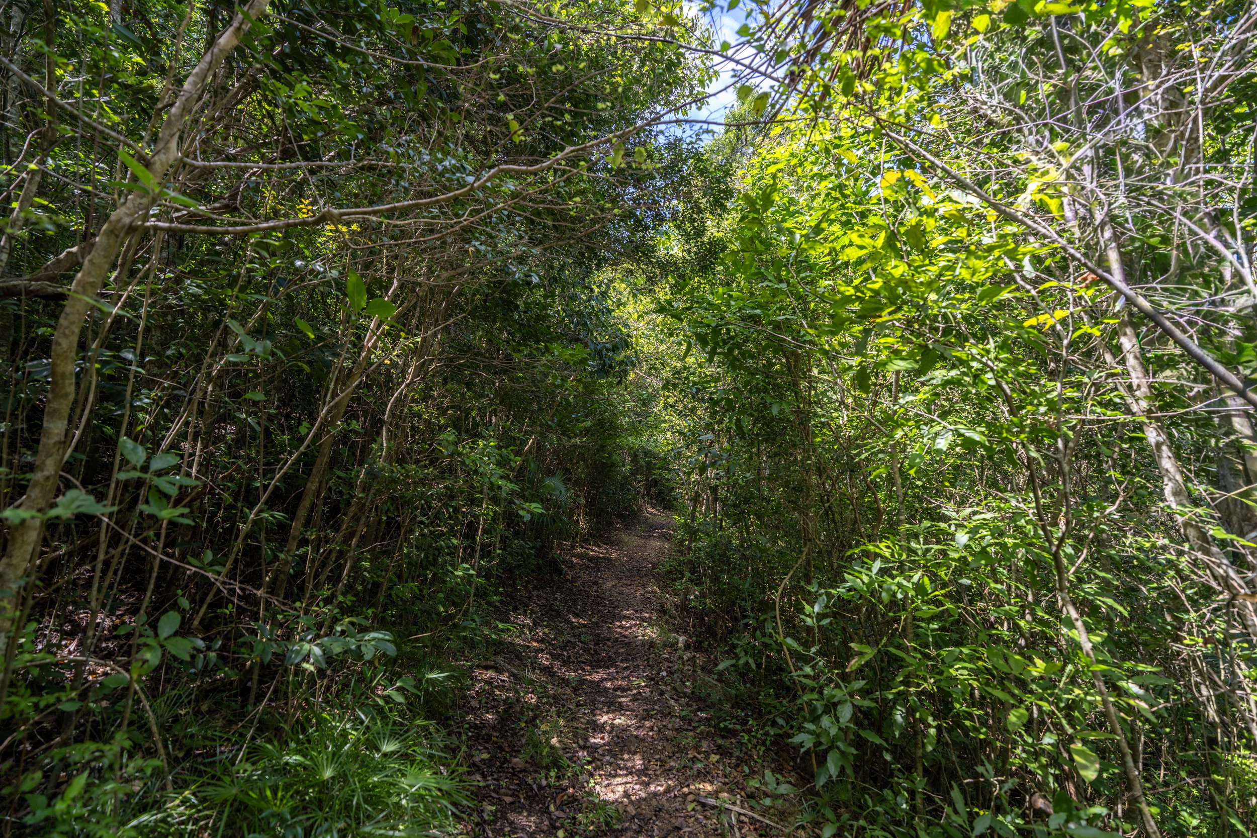
Hiking the Leinster Bay Trail
The Leinster Bay Trail begins along the shoreline just before Annaberg Mary Creek Road turns up the hill toward the ruins.
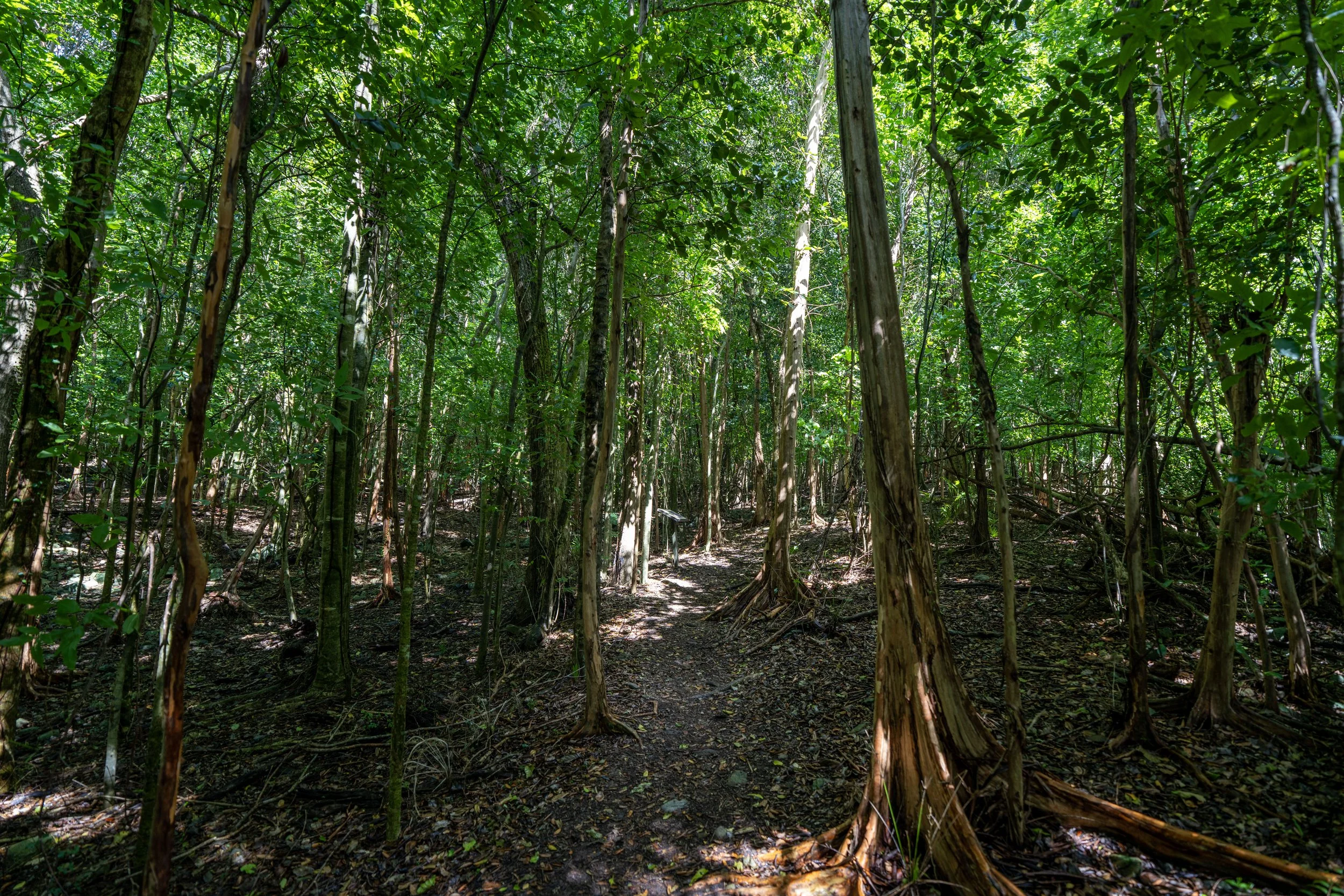
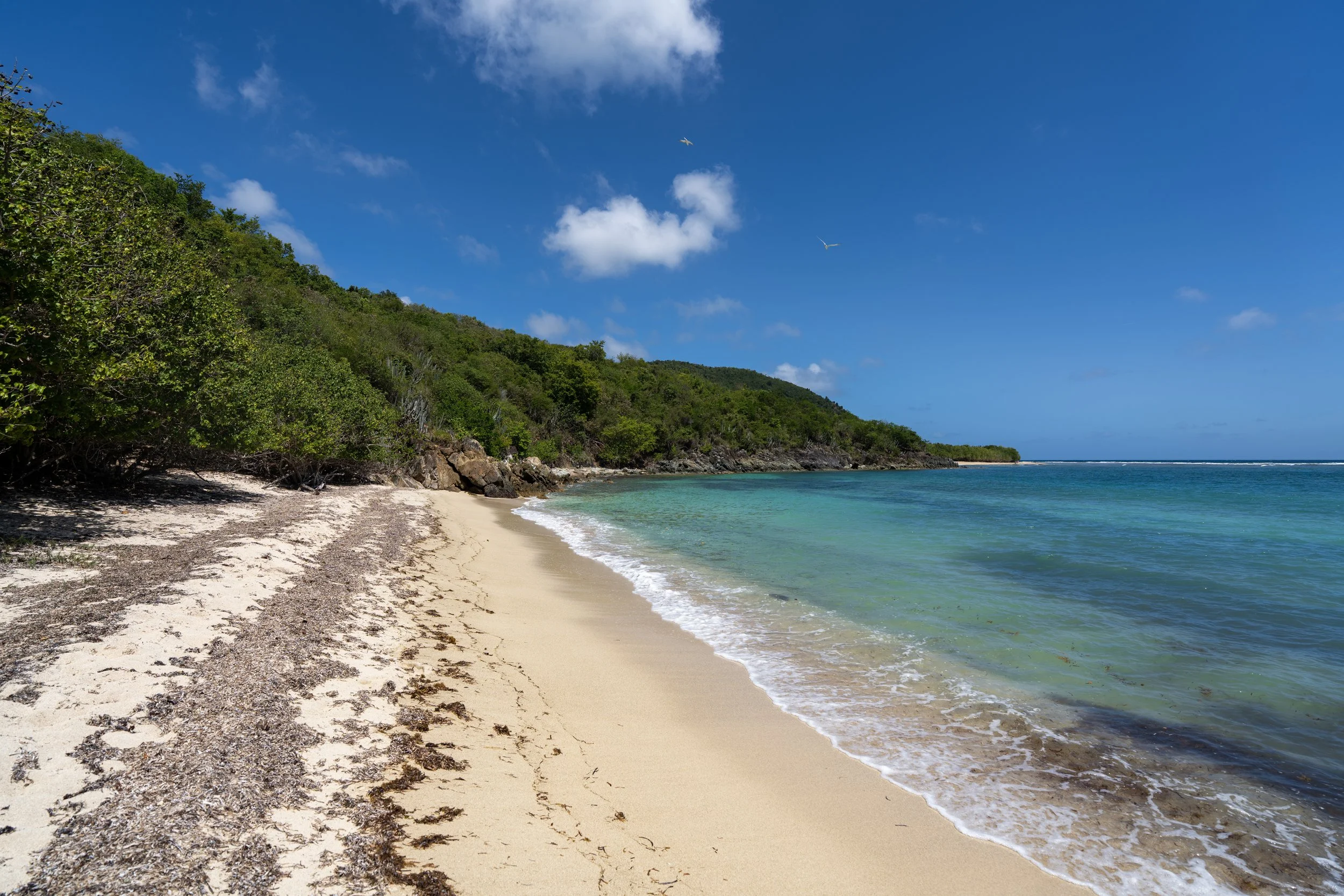
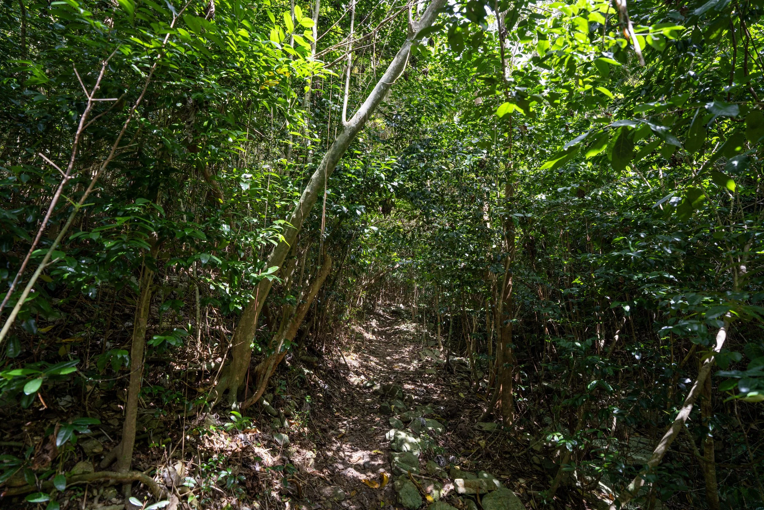
For the most part, there’s not much to know about the Leinster Bay Trail, as the hike simply parallels the water all the way to the beach and the access point for Waterlemon Cay shortly after.
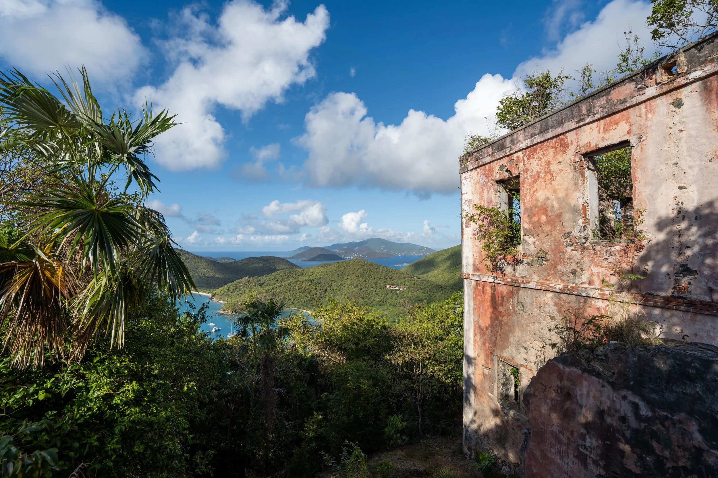
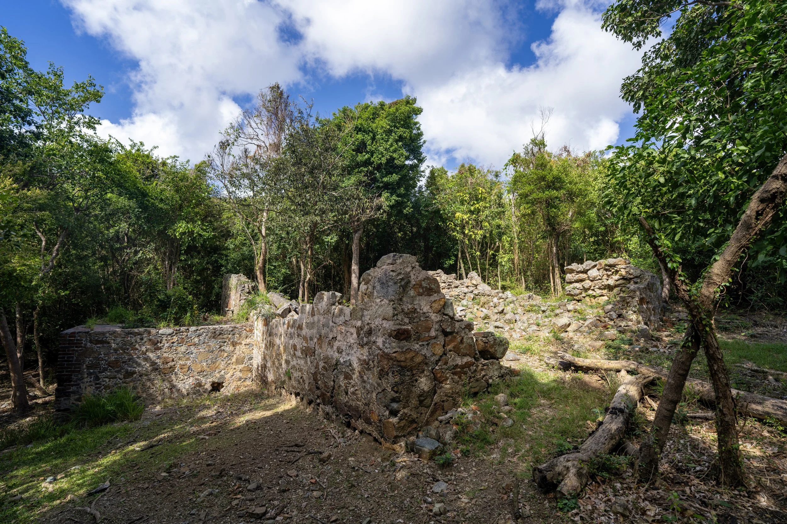
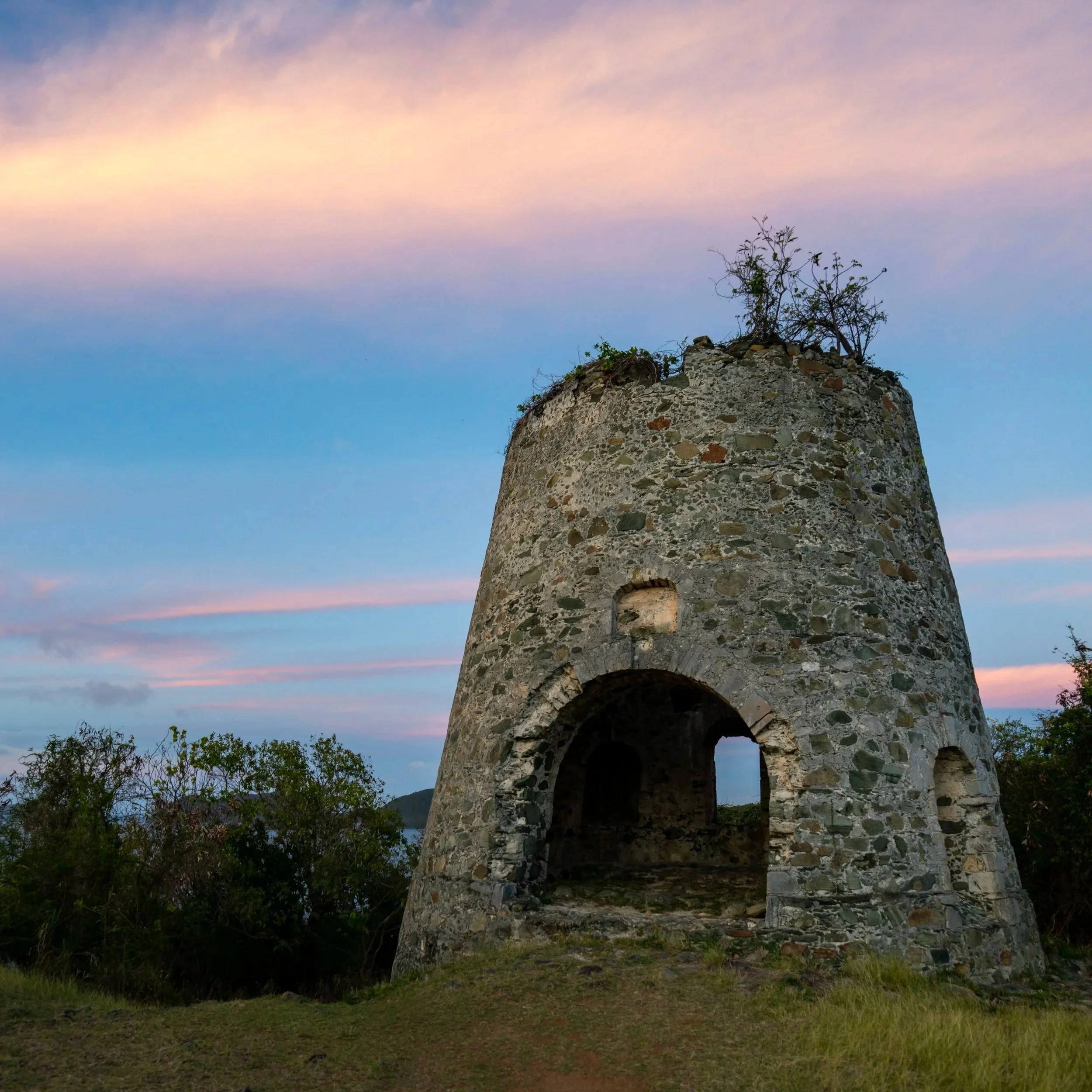
This bridge is a remnant of an old Danish road that once connected plantations and coastal estates on the North Shore of St. John—the same estates that can be found at the end of the hike near Waterlemon Bay and off the Johnny Horn Trail up the hill.
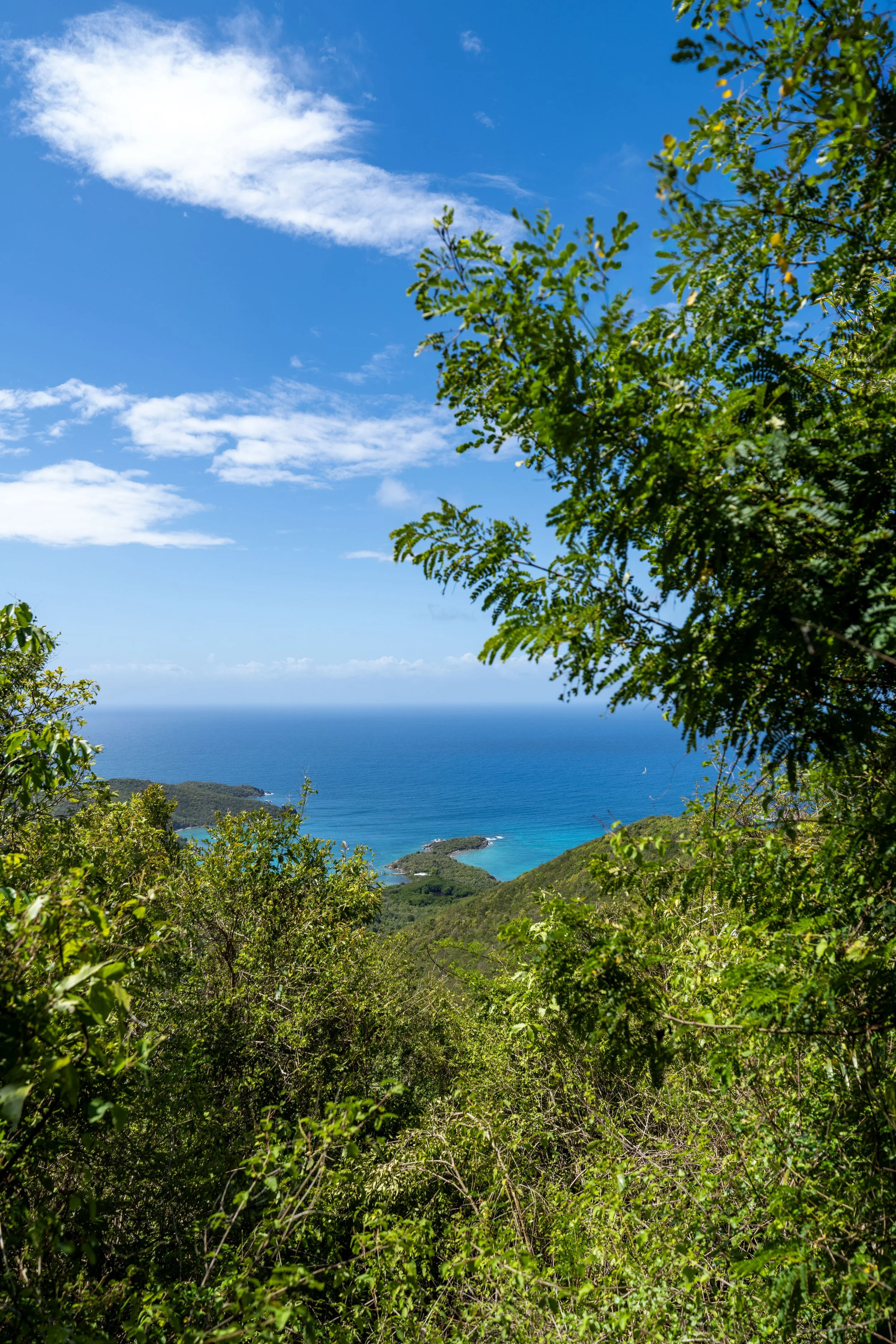
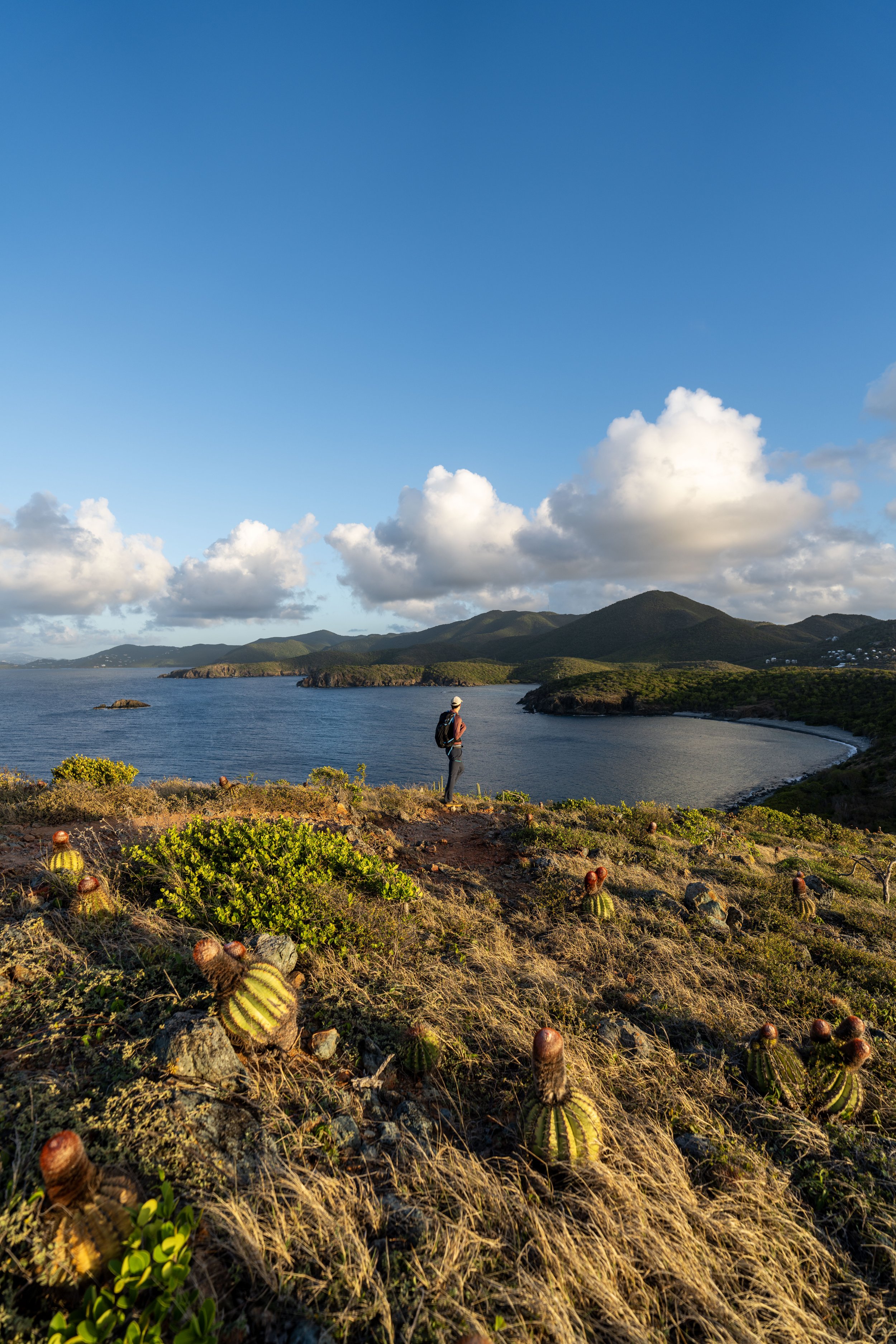
This is where Waterlemon Bay Beach can be seen in the distance for the first time!
Where I live in Hawaiʻi, this tree called Milo is considered a native species, but on St. John, nearly 6,000 miles (9,656 km) away, Milo is non-native and is actually classified as an invasive species in Virgin Islands National Park.
Since the Leinster Bay Trail is such an exposed coastal trail, I highly recommend hiking in a hooded sun shirt to stay safe—something I always say about similar trails like the Drunk Bay Trail and the Ram Head Trail on the south side of Virgin Islands National Park.
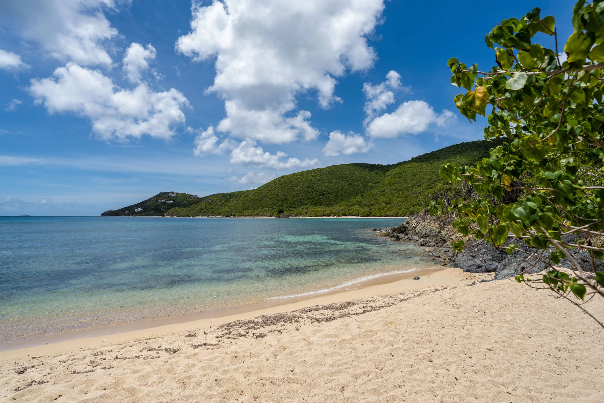
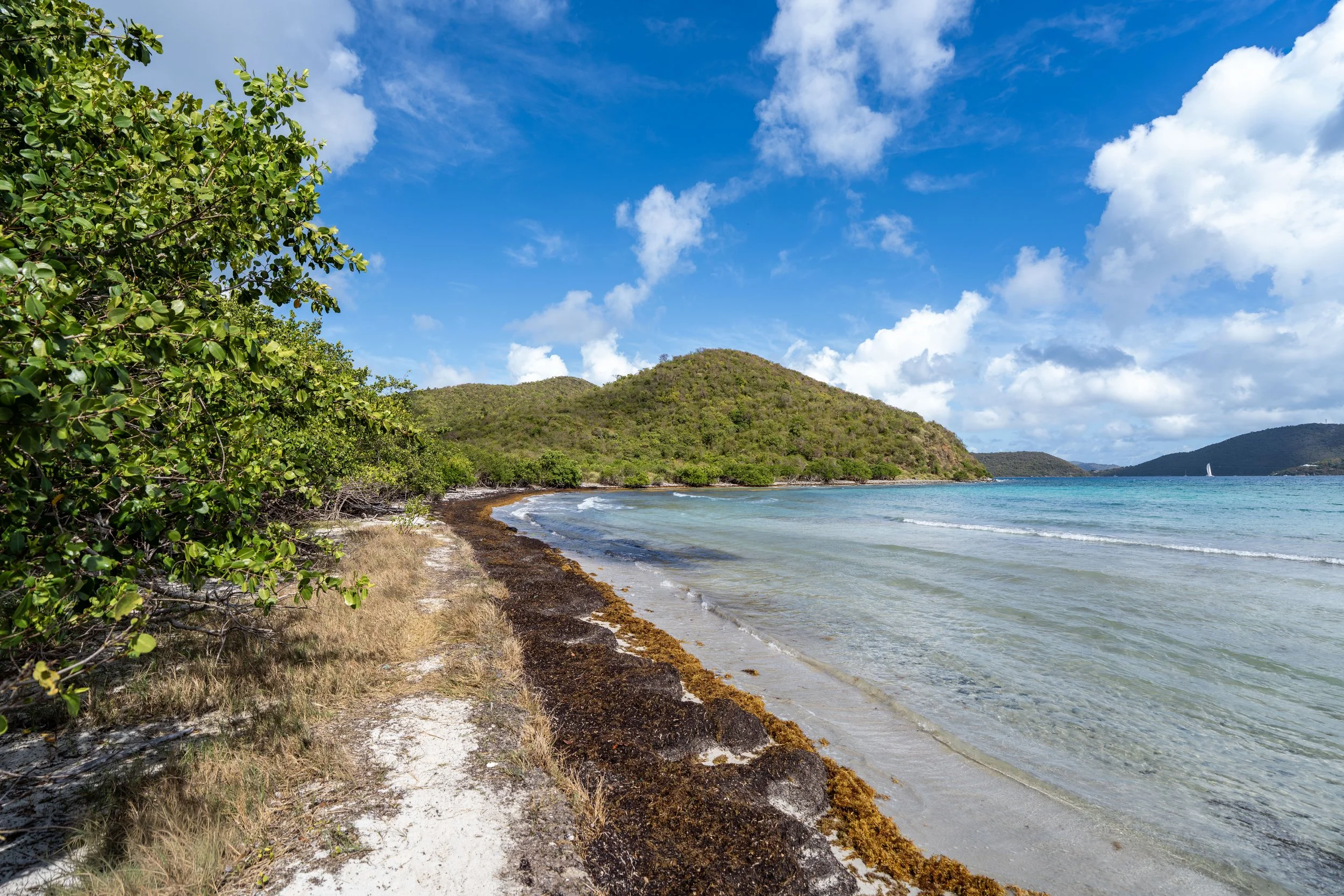
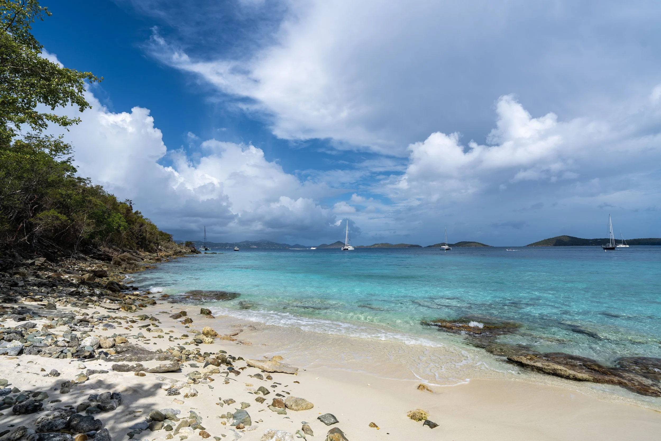
Waterlemon Bay Beach
After 0.8 miles (1.3 km), the Leinster Bay Trail reaches Waterlemon Bay Beach—the one and only true beach on the entire trail.
That said, this is typically as far as most visitors hike, as the rest of the trail simply leads out to the Waterlemon Cay access and the ruins off the Johnny Horn Trail.
Leinster Bay-Lower Leinster Bay Ruins Junction
On the walk across Waterlemon Bay Beach, there are two trails that head away from the water and into the trees.
The first is the junction that leads over to the Lower Leinster Bay Ruins, and the second is the junction with the Johnny Horn Trail.
However, to stay on the Leinster Bay Trail toward the closest swimming access to Waterlemon Cay, go straight and continue hiking along the water.
Leinster Bay-Johnny Horn Junction
Just a few steps after the junction for the ruins, the Leinster Bay Trail passes a much more obvious junction on the right-hand side.
This is the official connection with the Johnny Horn Trail, which leads up to Windy Hill and the Brown Bay Trail beyond.
However, go straight once again to stay on the Leinster Bay Trail toward the Waterlemon Cay access shortly ahead.
Read My Separate Post: Johnny Horn Trail
After both junctions, there is truly nothing more to know about the rest of the hike to reach the best and closest access to Waterlemon Cay.
Simply walk along the shoreline, and the coastal trail will eventually lead to a fairly obvious launch point, where visitors leave their belongings to head out to the island.
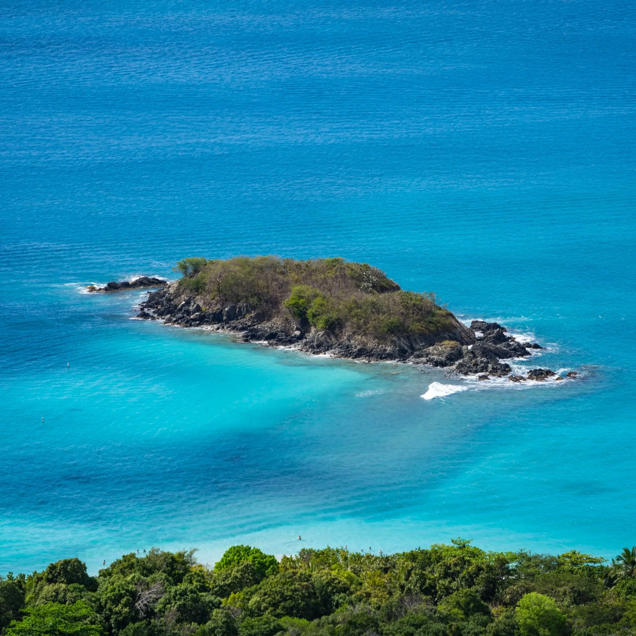
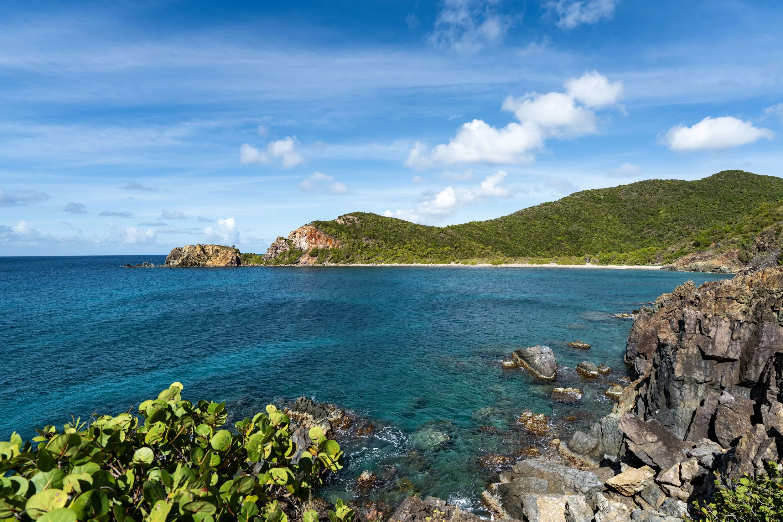
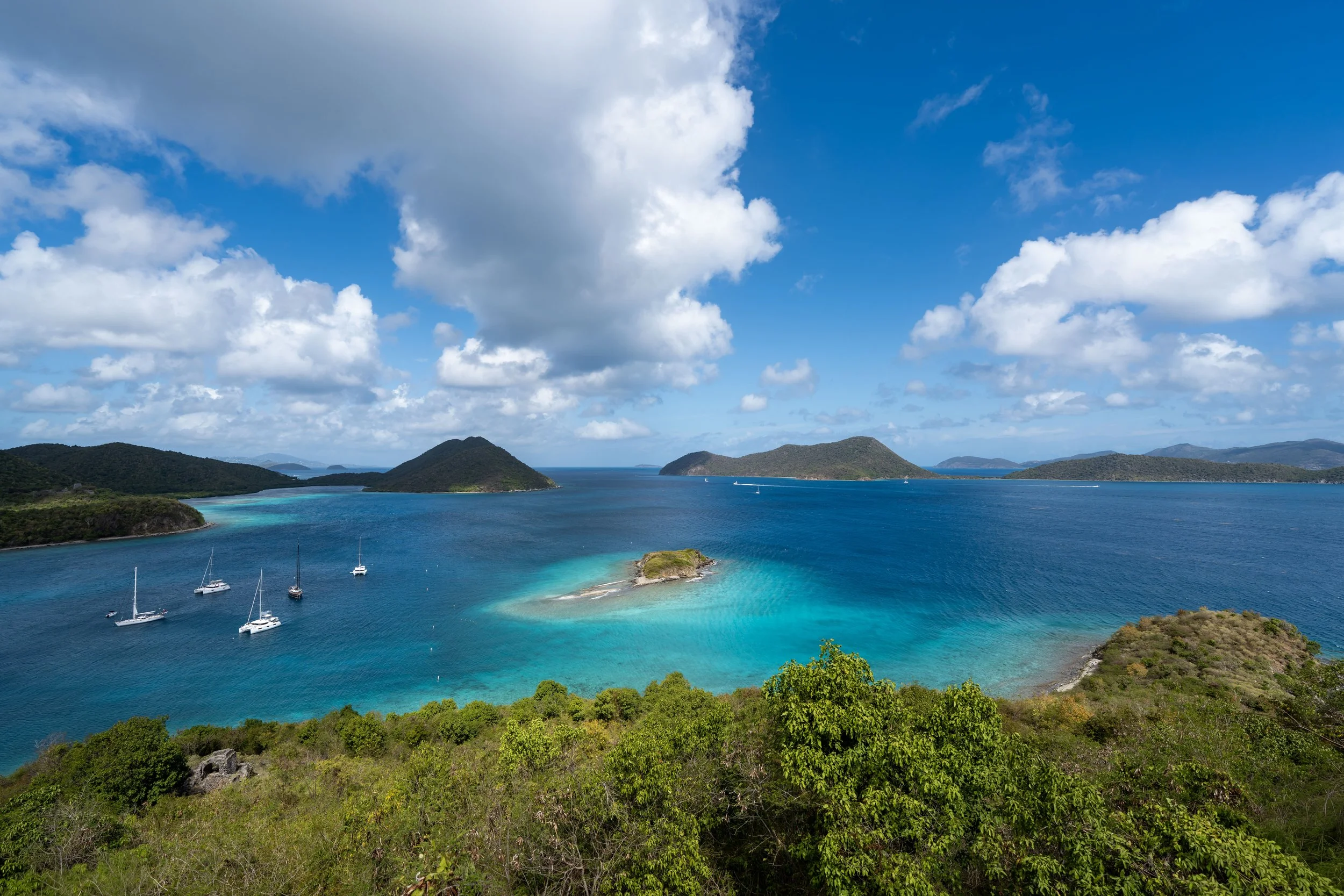
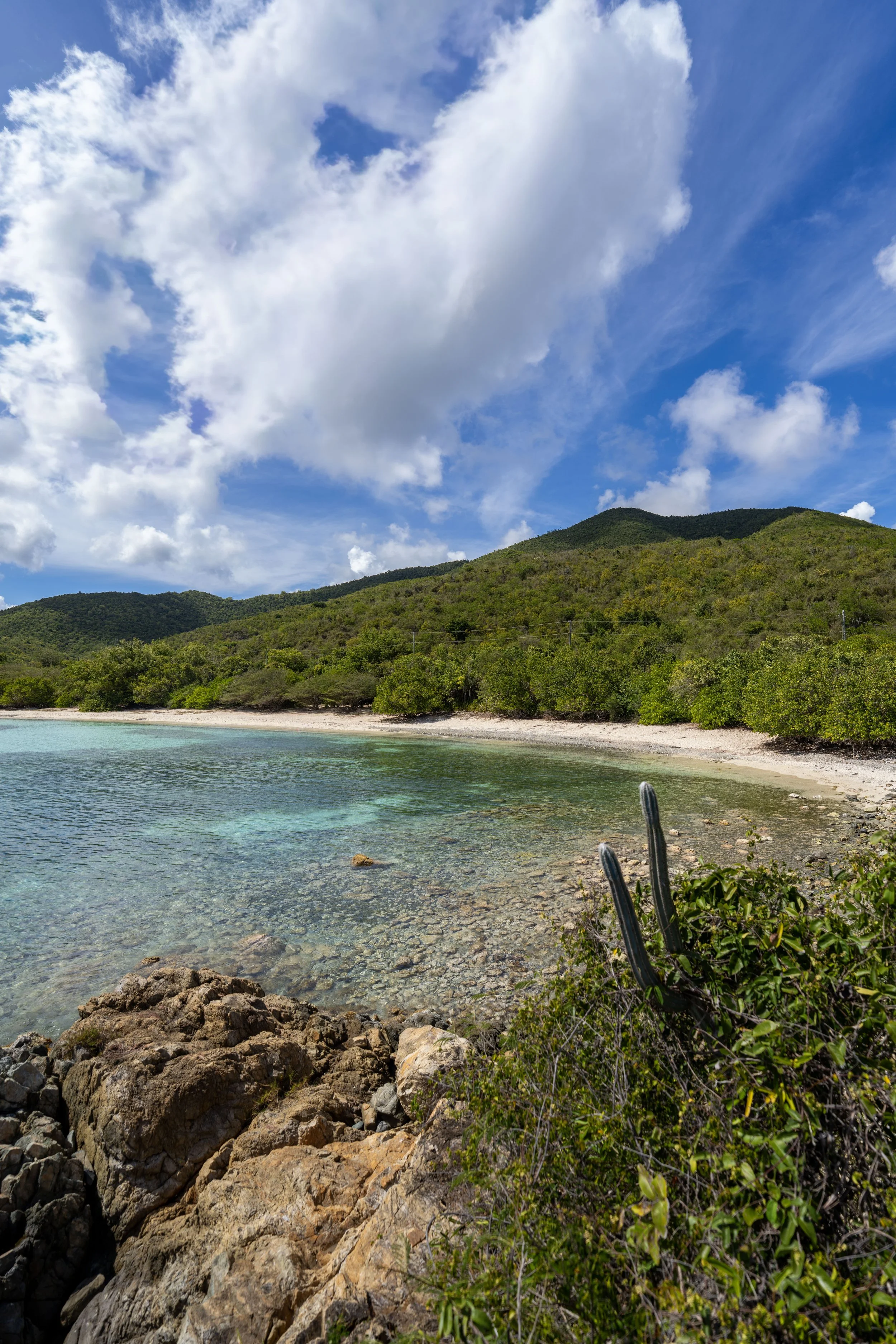
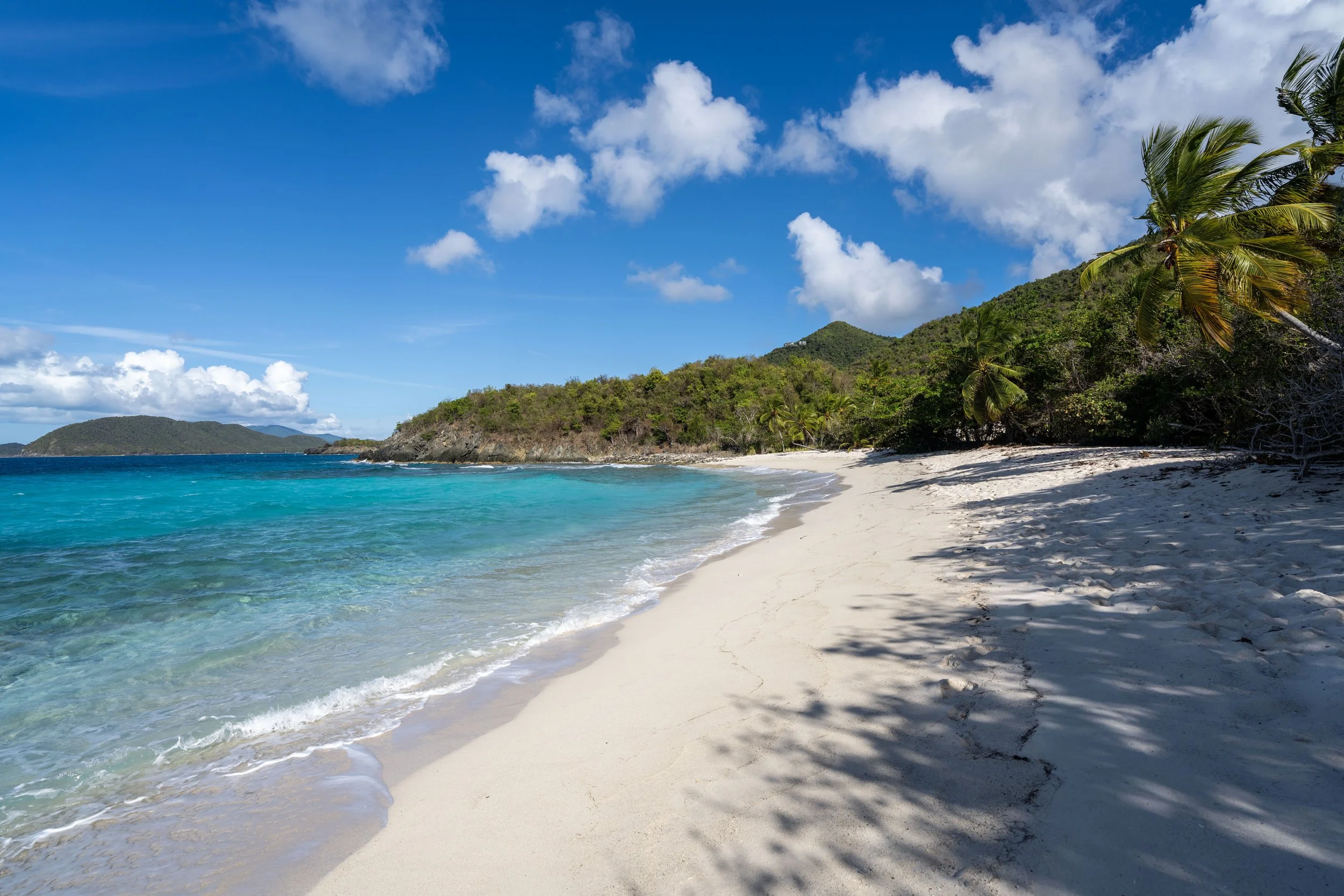
Waterlemon Cay Swimming Access
About 0.2 miles (0.3 km) past Waterlemon Beach, the Leinster Bay Trail reaches the closest access point to Waterlemon Cay, located just out of sight of the beach around the corner.
This is where visitors typically get ready and leave hiking gear along the shoreline to begin the roughly 500–600 ft. (152–183 m) swim to reach one of the best snorkeling spots in all of Virgin Islands National Park!
Are Your Belongings Safe at the End of the Leinster Bay Trail?
My overall answer is yes, with an important caveat: don’t be careless!
St. John is a very safe place in terms of low crime, including petty theft like stealing belongings on a beach. This is something I could never say about my home in Hawaiʻi.
That said, don’t be careless! Car break-ins are very rare, so for things like wallets, passports, and phones, I like to think: why take the risk? Just leave them out of sight in your car.
On St. John, it’s more likely than not that your belongings won’t be touched when you return from Waterlemon Cay, but instead of worrying about it while you’re out in the water trying to enjoy your time, just leave your most important valuables in a safe place!
Before visiting Virgin Islands National Park, my overall recommendation is to buy a good mask and snorkel—this is truly a setup worth investing in for all the beautiful beaches across St. John.
The mask and snorkel linked below are exactly the ones that I use at home in Hawaiʻi, and they’re exactly what I traveled to Virgin Islands National Park with when I visited for the first time!
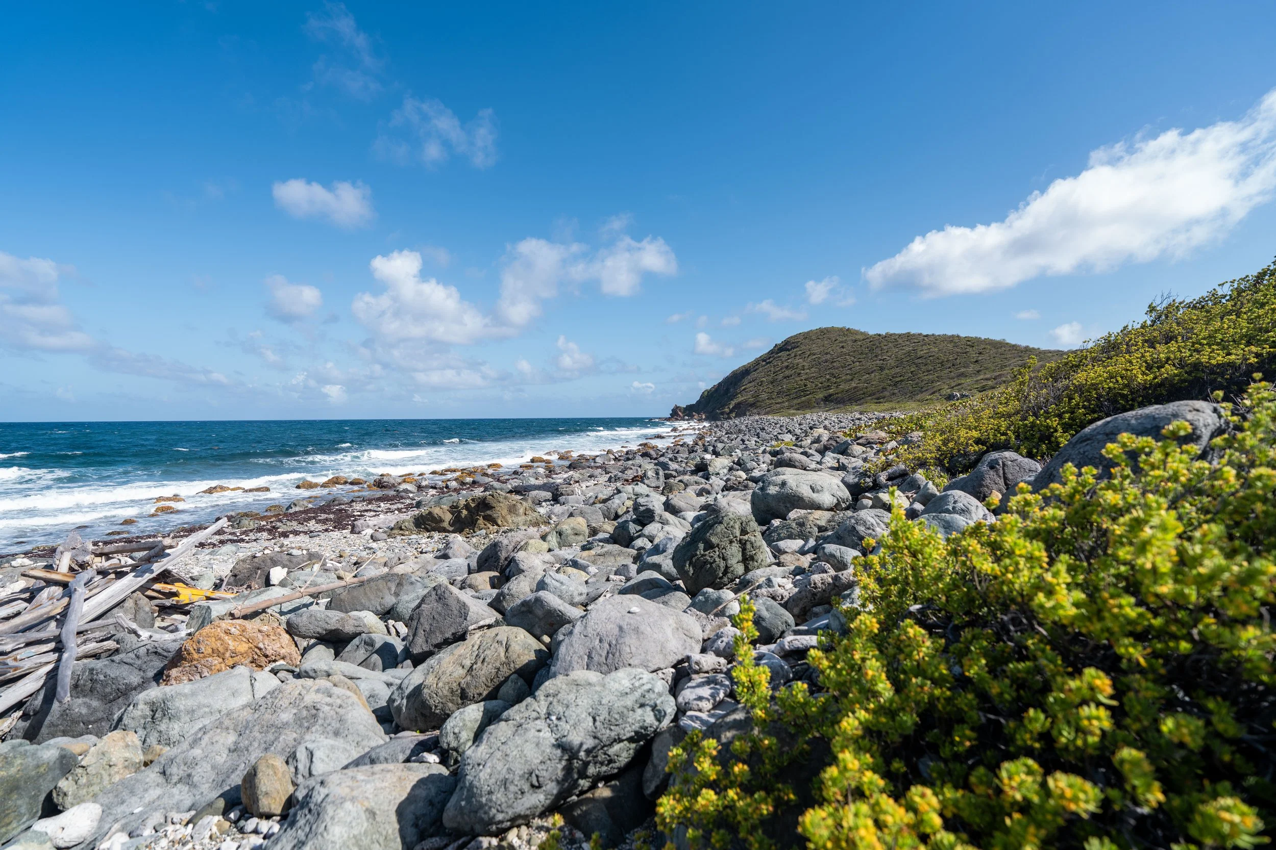
What is Past the Waterlemon Cay Access?
What most visitors don’t know is that the Leinster Bay Trail doesn’t necessarily stop at the Waterlemon Cay access.
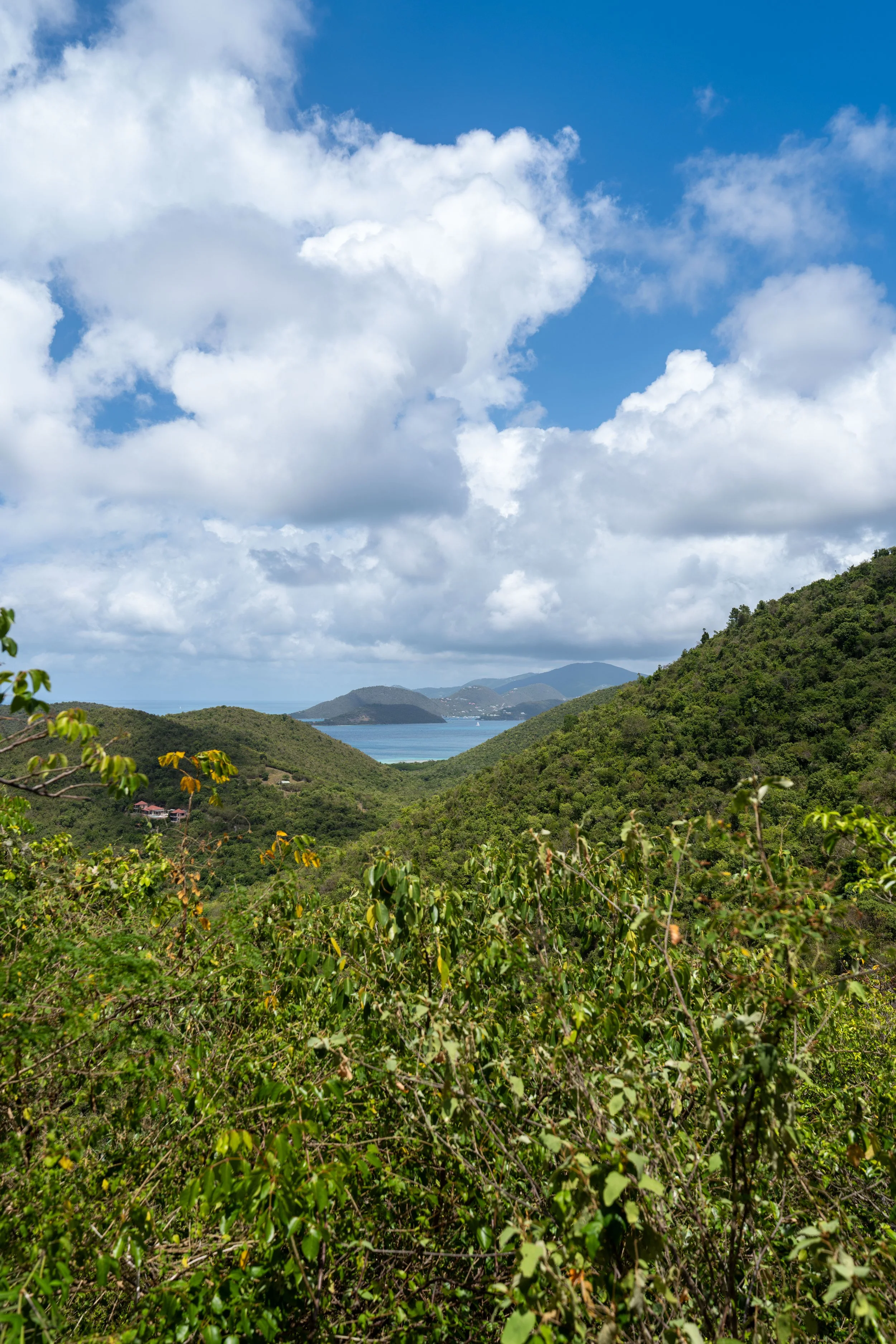
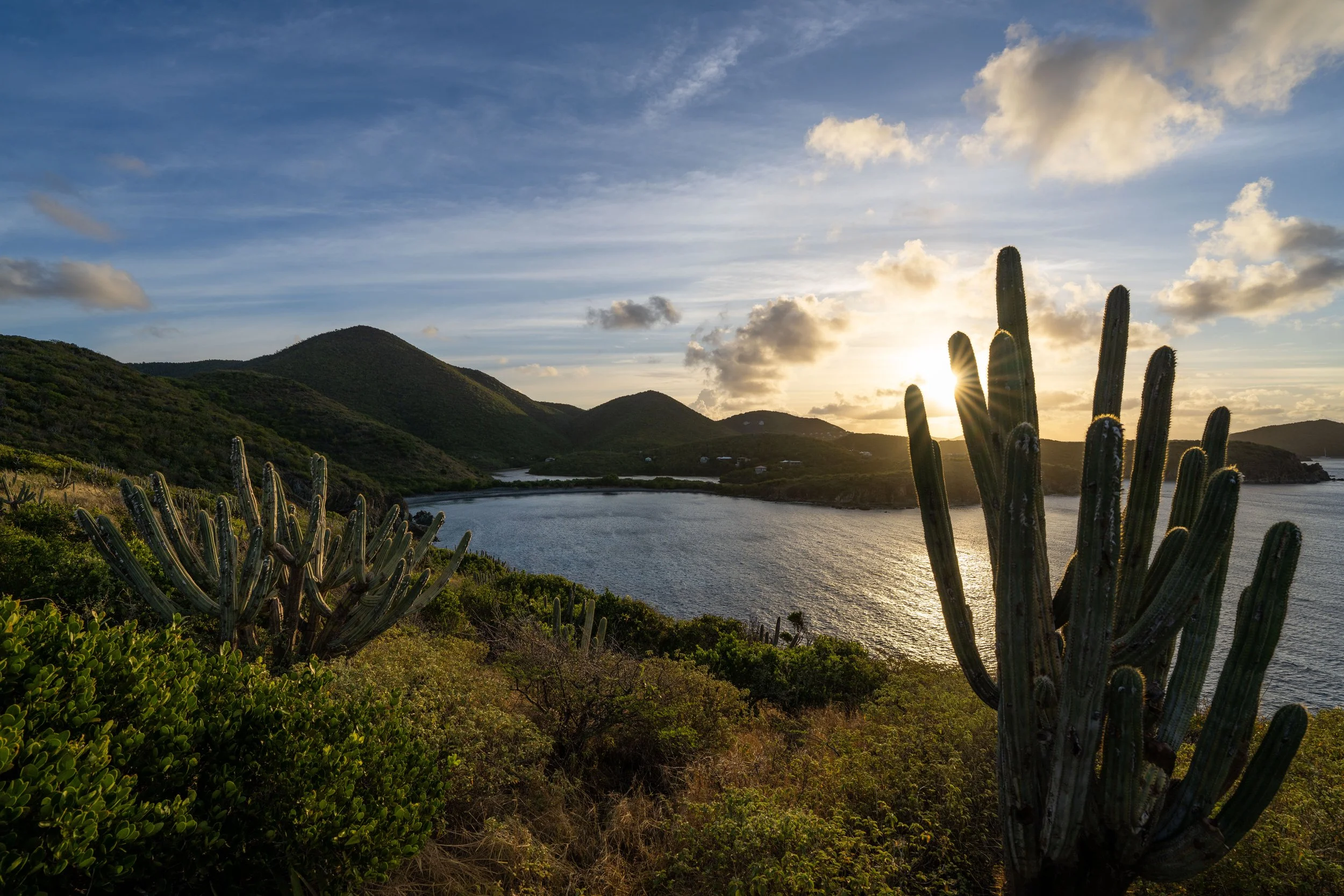
Instead, the shoreline can actually be followed all the way to the Brown Bay Trail, where hikers will enjoy one of the quietest, most remote stretches of coastline on St. John, with beautiful views across the channel toward the British Virgin Islands!
While I wouldn’t necessarily consider this a challenging day hike, it is certainly meant for the more adventurous type of visitor and is best planned with a pick-up from someone in your party at either the Brown Bay or Johnny Horn Trailhead.
If this is something you’re considering, be sure to come prepared with plenty of water and a good sun shirt for such an adventure!