Hiking the Bordeaux Mountain Trail in Virgin Islands National Park
Distance (One Way): 1.2 miles / 1.9 km
Elevation Change: 1,025 ft. / 312 m
The Bordeaux Mountain Trail in Virgin Islands National Park is an out-and-back day hike that connects Lameshur Bay with Bordeaux Mountain Road, and it’s an adventure that I see as one of the best one-way hikes there is to consider across all sides of St. John!
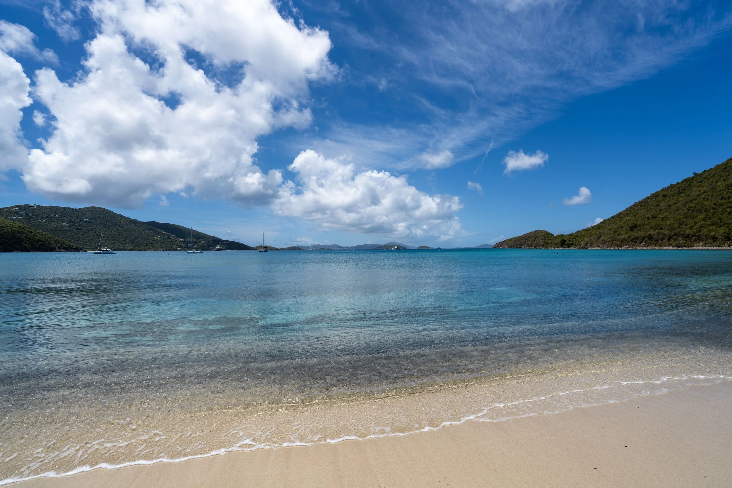
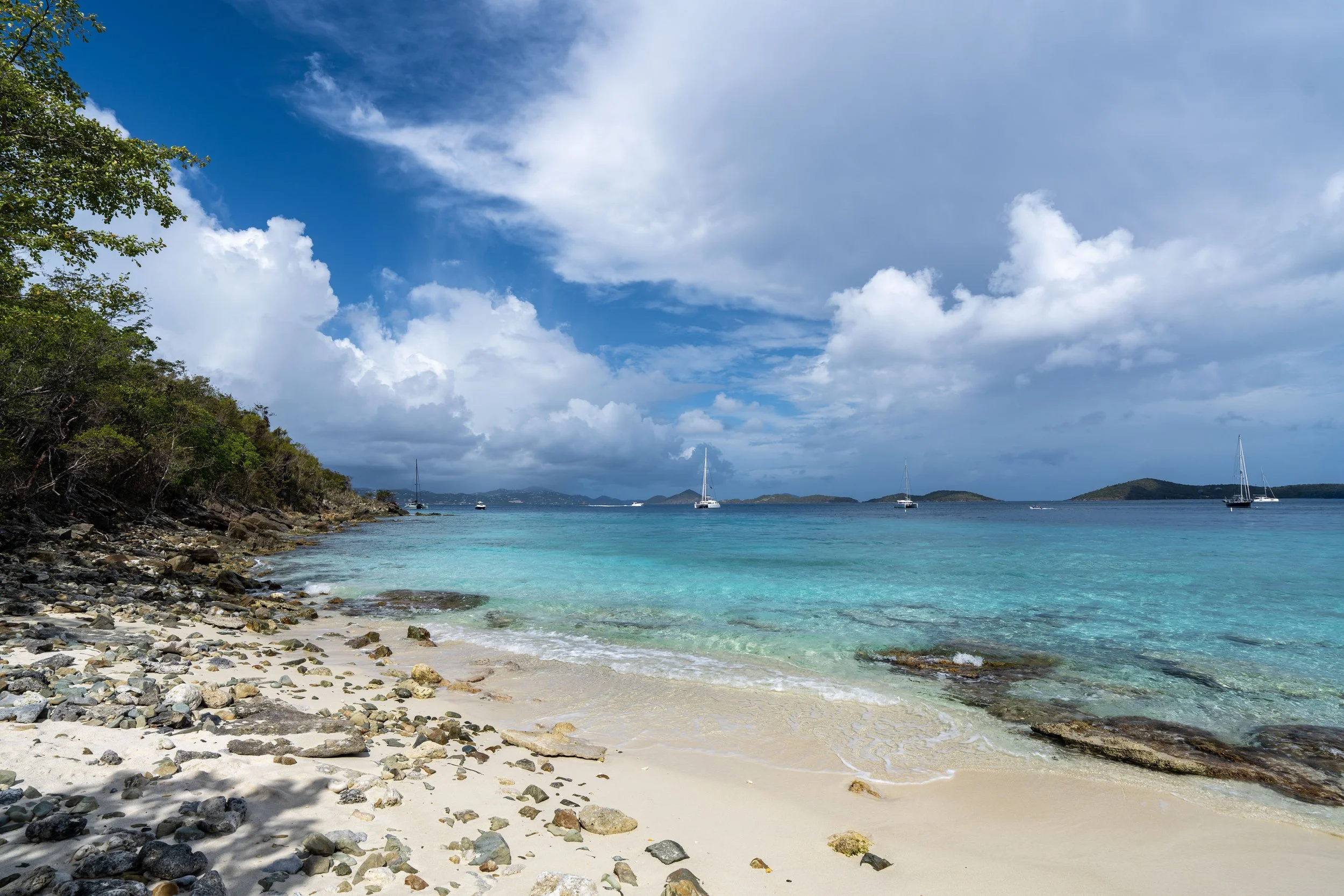
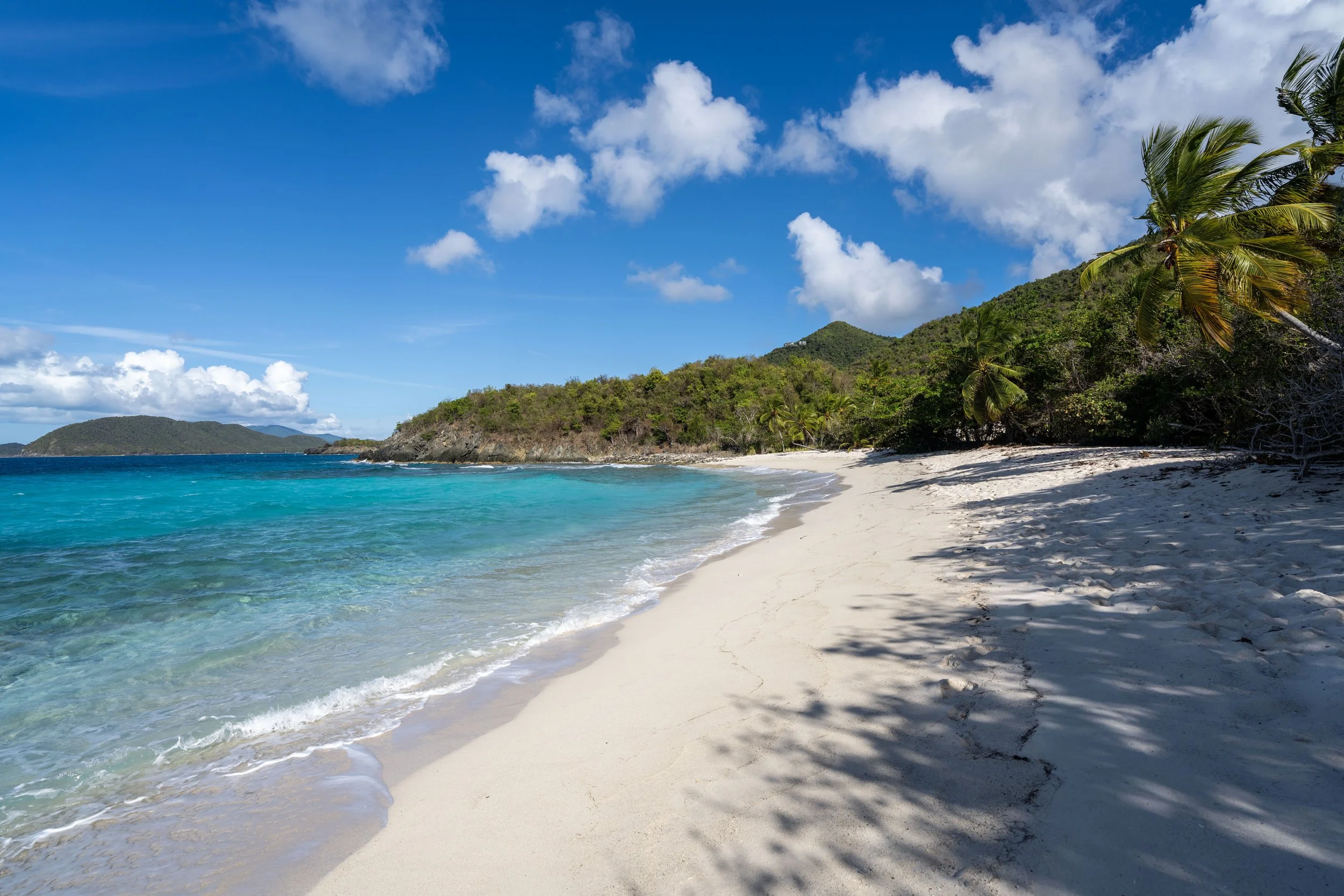
By this, I mean that the Bordeaux Mountain Trail is arguably the best day hike visitors can do when everyone in your party isn’t interested in going for a hike, as those who are can simply be dropped off at the Upper Trailhead for an all-downhill hike, with the plan of meeting your group at Lameshur Bay once at the bottom. For context, Little Lameshur Bay is one of the best drive-up beaches on the south side of Virgin Islands National Park.
If hiking one way is not something you’re considering, my best recommendation is to start at the Lower Trailhead, as the best views on the Bordeaux Mountain Trail are not near either trailhead. This is why I prefer to begin with the uphill, while saving the downhill for the way back after reaching the two best viewpoints!
Bordeaux Mountain Trailhead Parking
Parking for the Bordeaux Mountain Trail is located at either the Lower Trailhead, at the very end of Lameshur Road on the south side of St. John, or directly off Bordeaux Mountain Road at the Upper Trailhead.
Before visiting, know that the Lower Bordeaux Mountain Trailhead is best accessed with a high-clearance, 4×4 vehicle, which works out well since most rentals on St. John are Jeeps!
Google Maps Directions: Lower Bordeaux Mountain Trailhead / Upper Bordeaux Mountain Trailhead
Hiking Checklist - Virgin Islands
Here is a complete list of must-have things that you will want for any hike in Virgin Islands National Park.
Hiking the Bordeaux Mountain Trail
Lower Bordeaux Mountain Trailhead
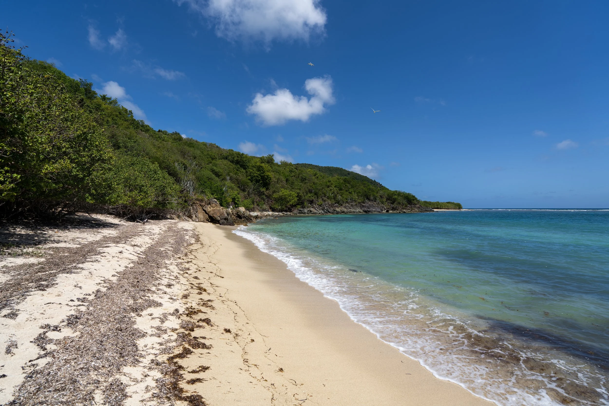
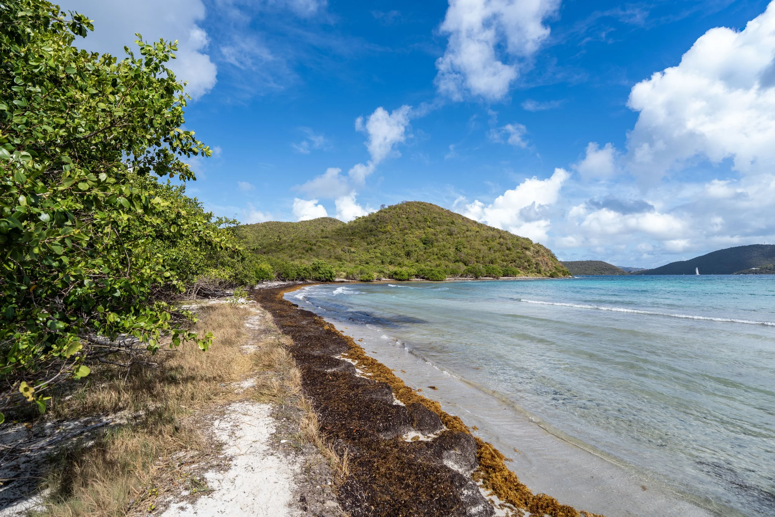
The Bordeaux Mountain Trail begins near the end of Lameshur Road at the joint Lameshur Bay–Bordeaux Mountain Trailhead.
That said, go right to begin the Bordeaux Mountain Trail, following the rest of Lameshur Road up to the true trailhead about 0.2 miles (0.3 km) up the hill.
Read My Separate Post: Lameshur Bay Trail
Even though the rest of Lameshur Road can be driven with a 4WD vehicle, the National Park Service does not allow private vehicles to continue past the joint trailhead shown above.
This is the end of Lameshur Road.
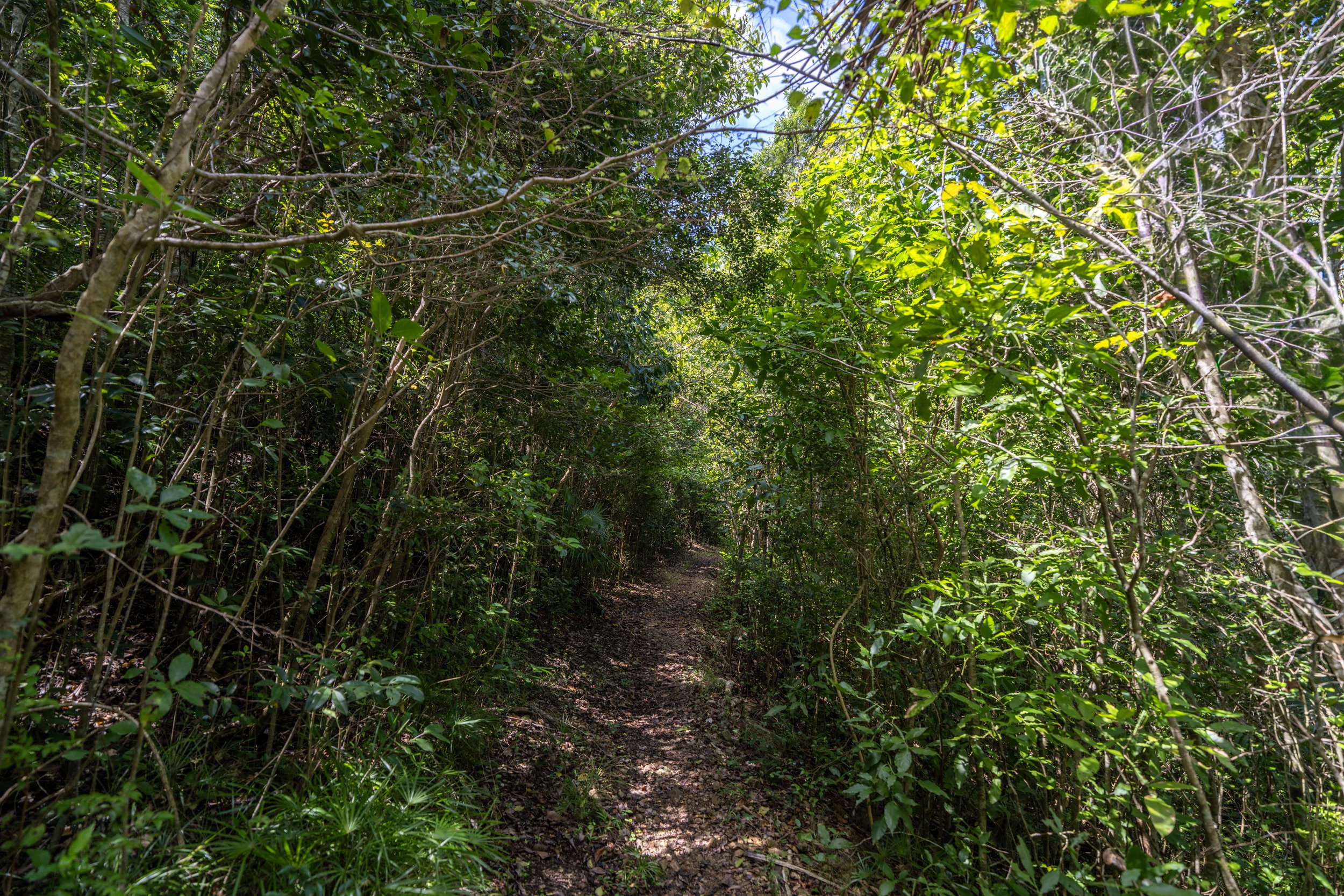
This is where the Bordeaux Mountain Trail leaves Lameshur Road and begins following a true trail for the rest of the hike up to the best viewpoints and Bordeaux Mountain Road at the very top.
Whether you decide to begin at the Upper or Lower Trailhead, the Bordeaux Mountain Trail is either an all-uphill or all-downhill hike.
There really are few flat sections, which is why some hikers may want to bring trekking poles—something that can certainly be useful for all the steep day hikes across Virgin Islands National Park.
In addition to poles, the Bordeaux Mountain Trail is less shaded than other similar day hikes, like the Cinnamon Bay Trail, which is why I recommend hiking in a good hooded sun shirt to stay safe.
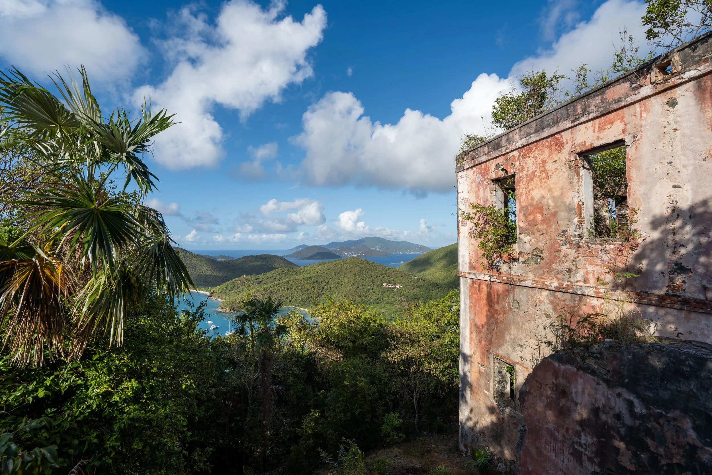
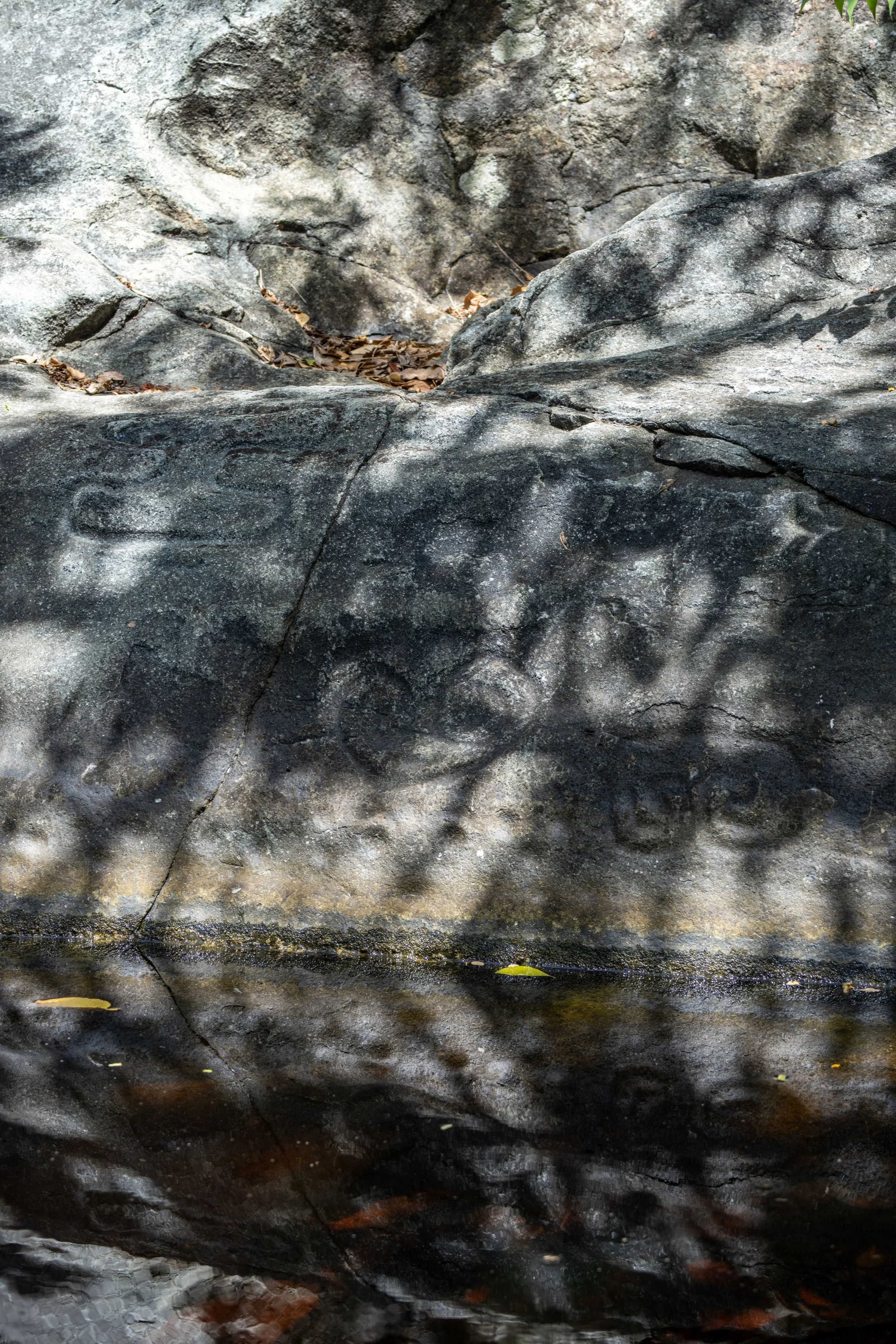
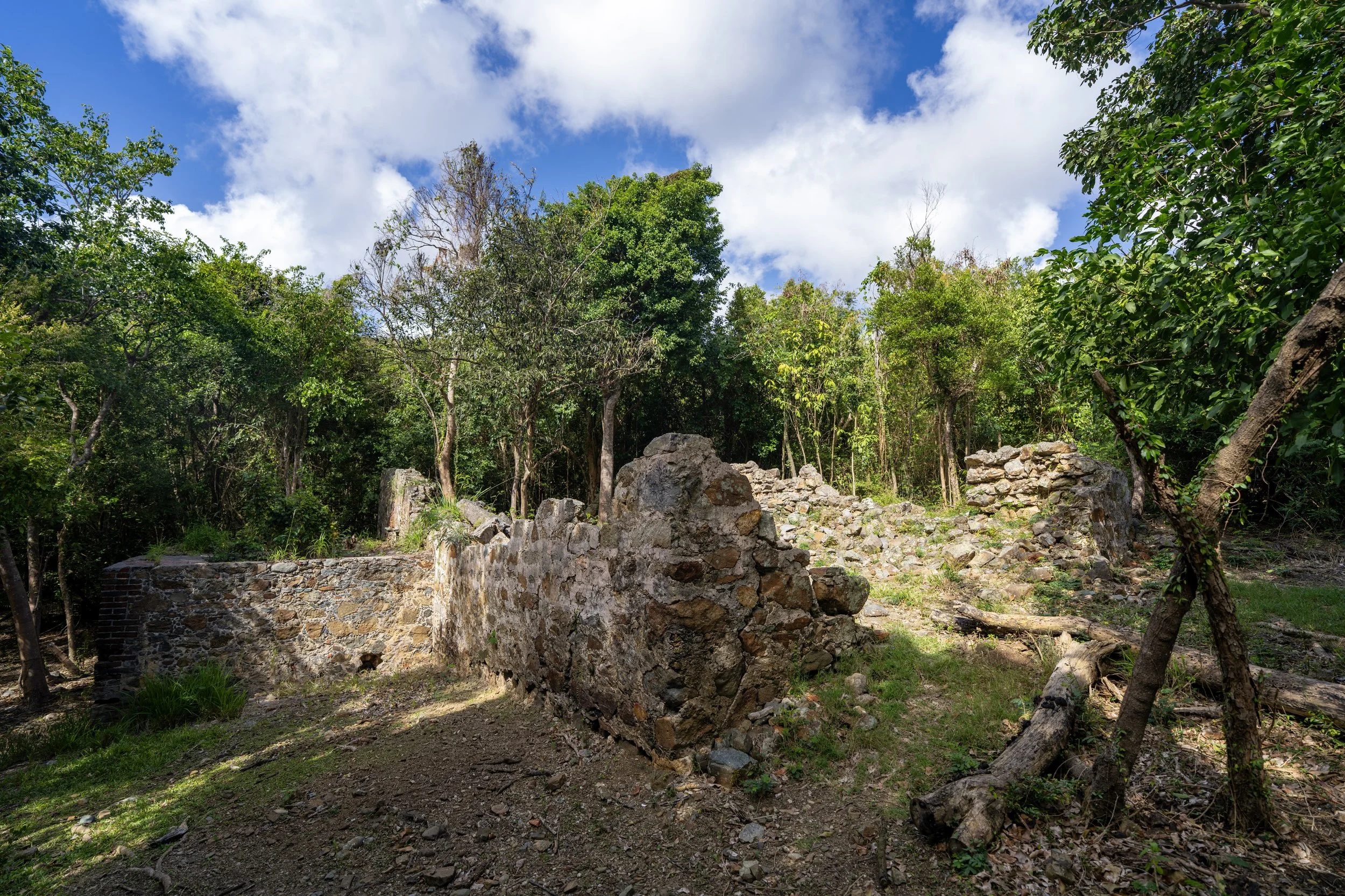
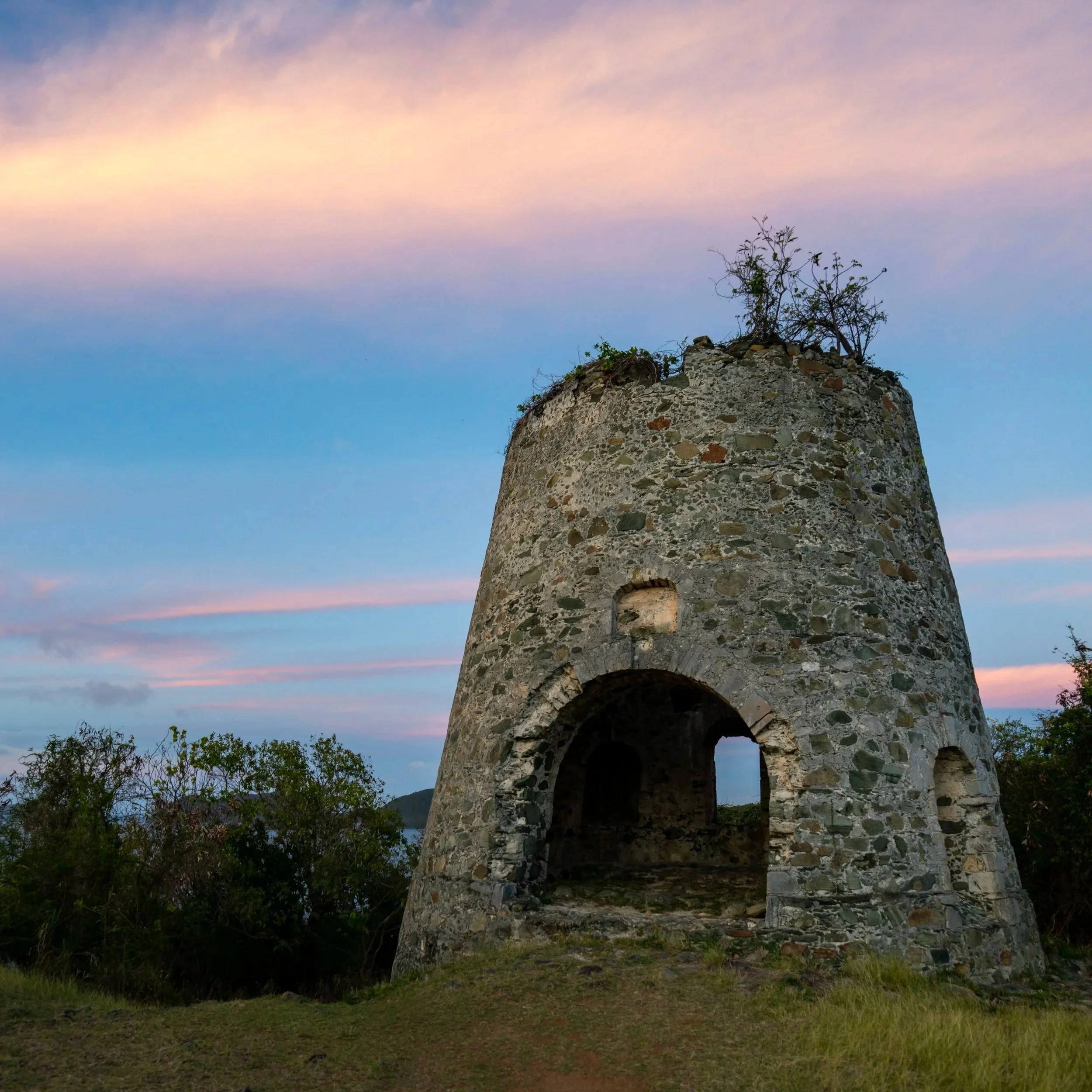
This plaque is in recognition of the 1986–87 Bordeaux Mountain Trail rehabilitation, when National Park Service trail crews stabilized the historic plantation-era route with stone drainage features, tread improvements, and small rest areas to reduce erosion on the steep slope above Lameshur Bay.
That said, much of the stonework along the trail today dates back to this project, marking the transition of this old Danish estate road into a more sustainable hiking trail within Virgin Islands National Park.
Who is the Bordeaux Mountain Trail Named After?
The Bordeaux Mountain Trail is named after Bordeaux Mountain, which takes its name from the historic Bordeaux estate area on St. John, most likely associated with an early 18th-century planter named David Bordeaux and his family.
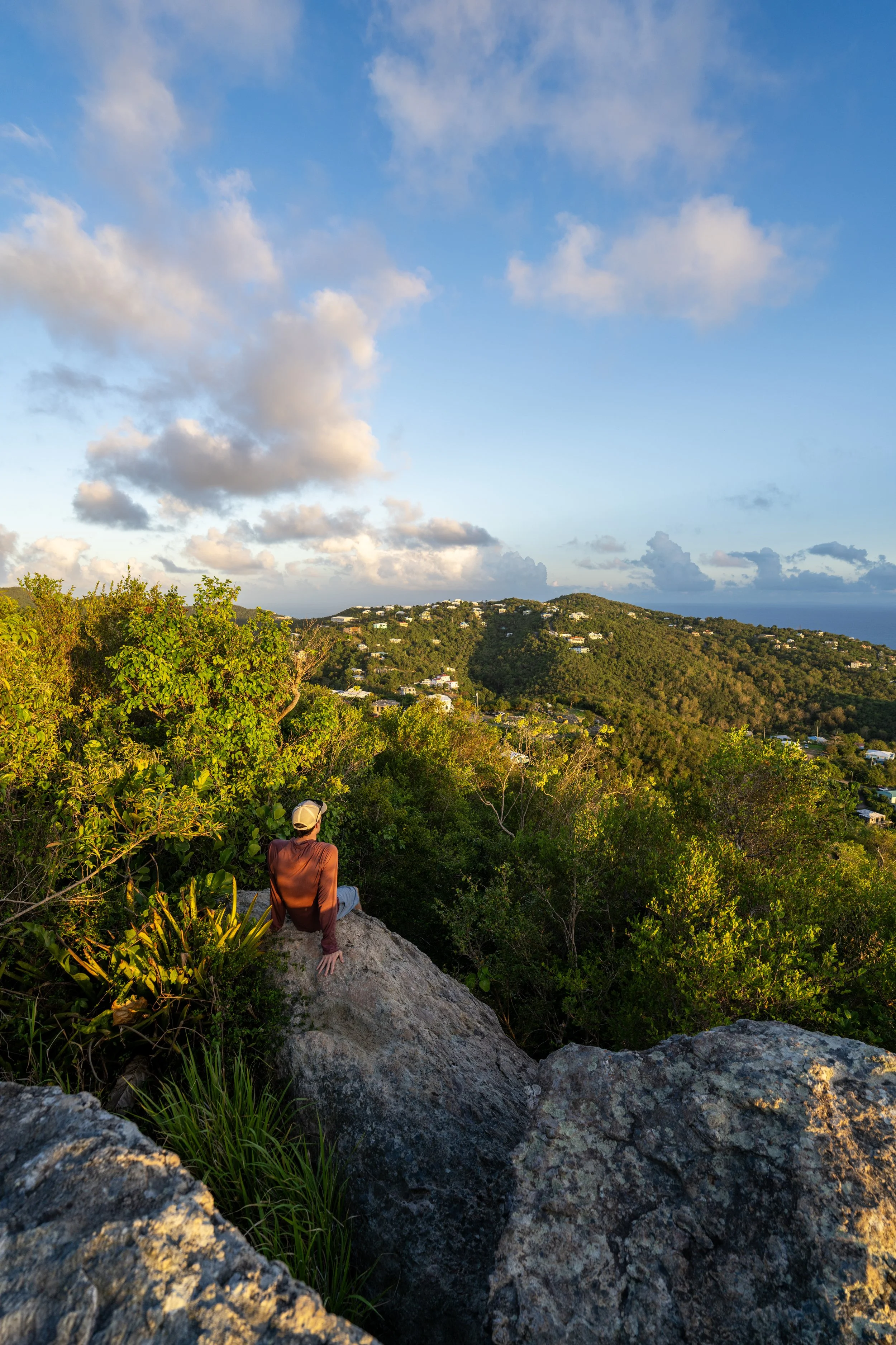
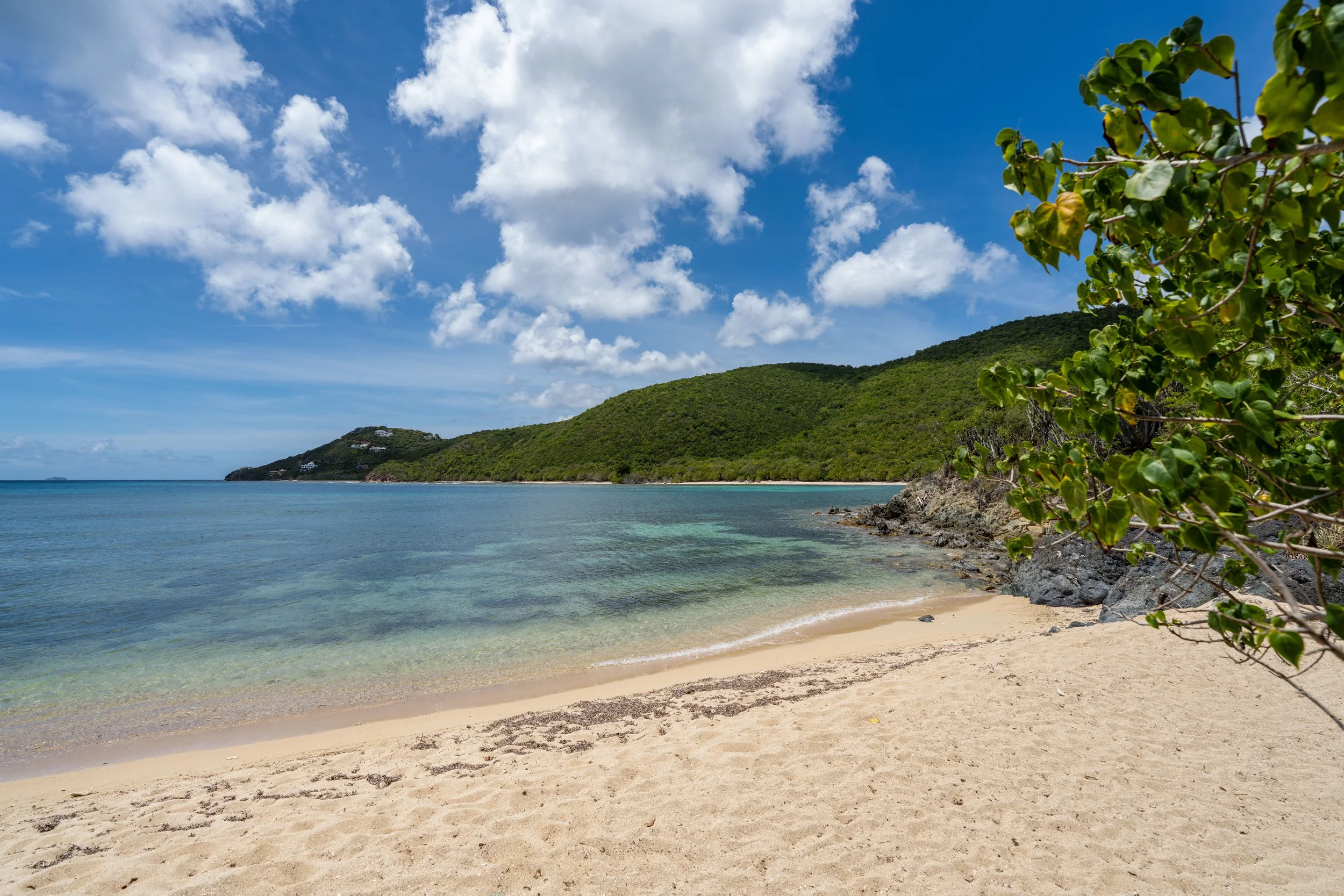
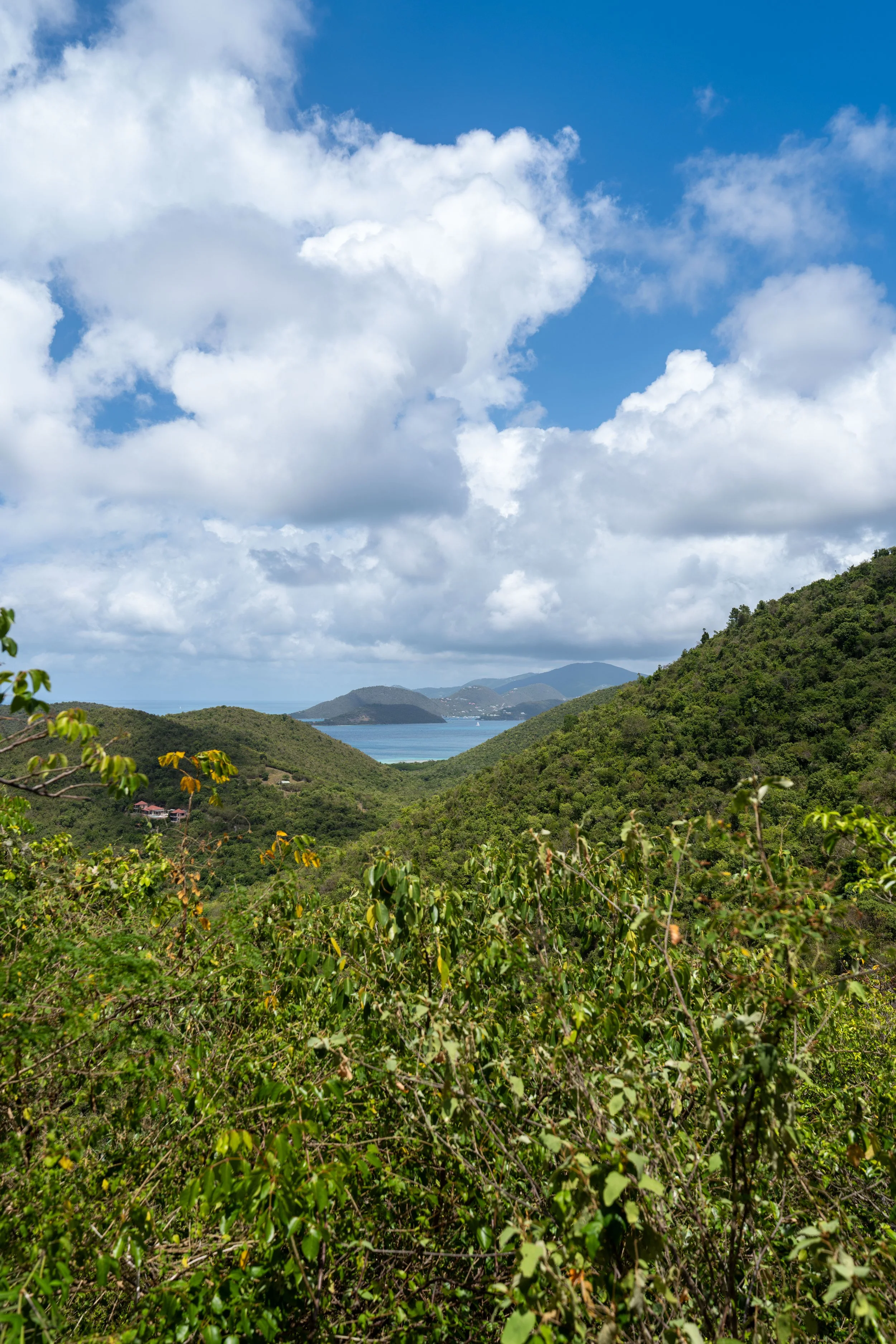
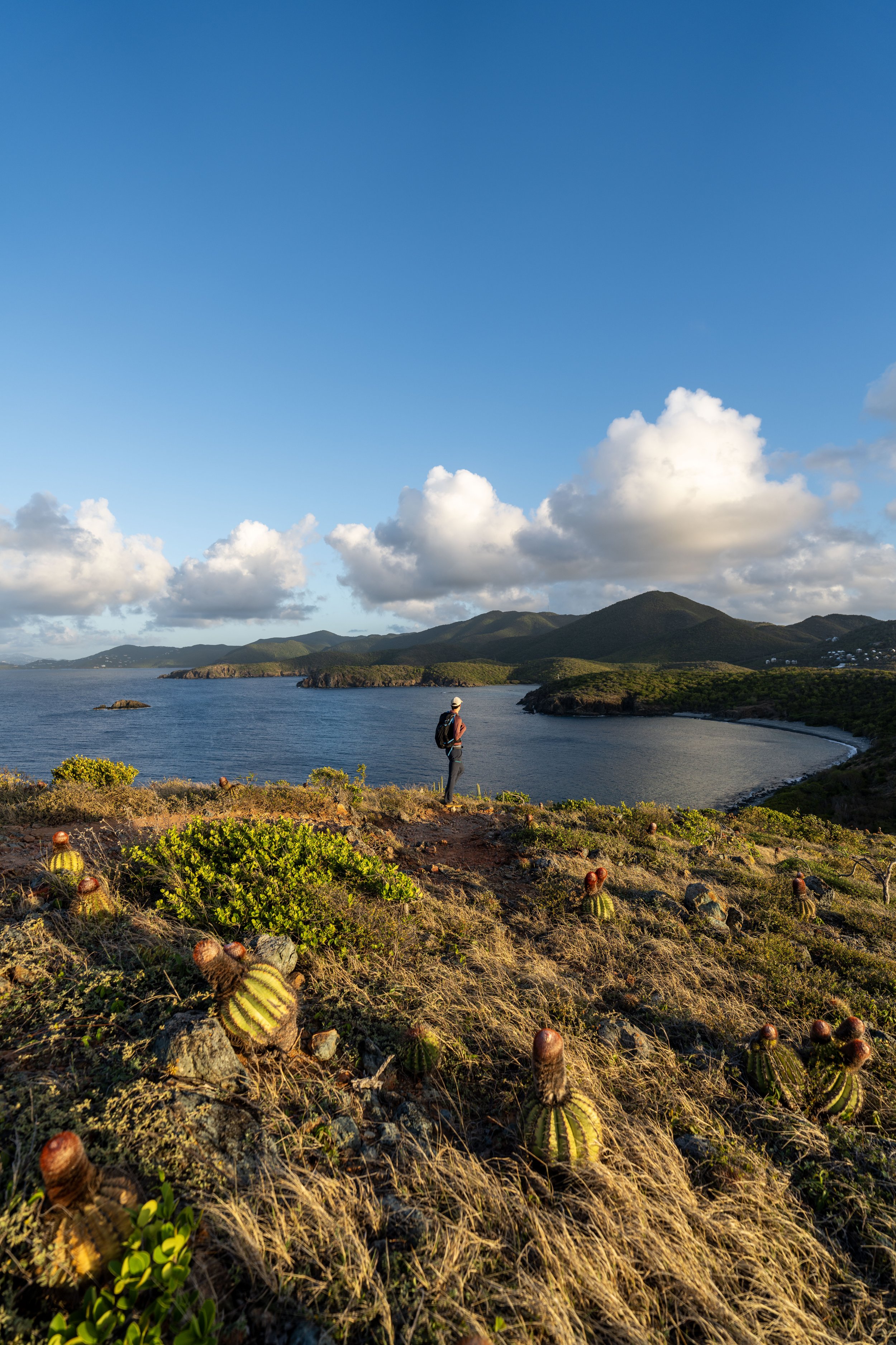
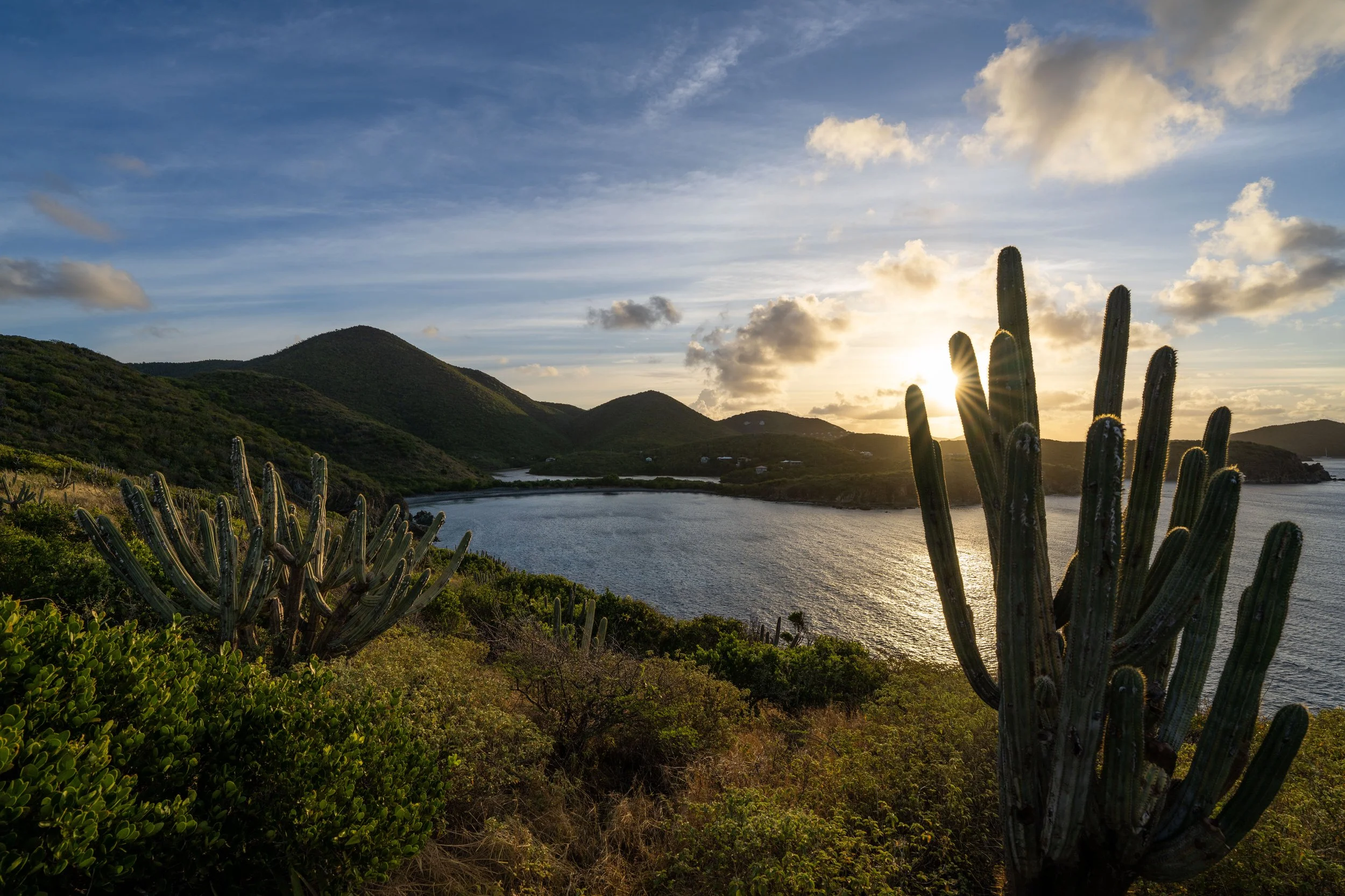
This rock formation is where the best viewpoint on the entire Bordeaux Mountain Trail is located, and I think it’s important to highlight that it is not close to either the Upper or the Lower Trailhead.
This is why I like to say that if you’re hiking out and back instead of one way, I recommend starting at the bottom to do the uphill first.
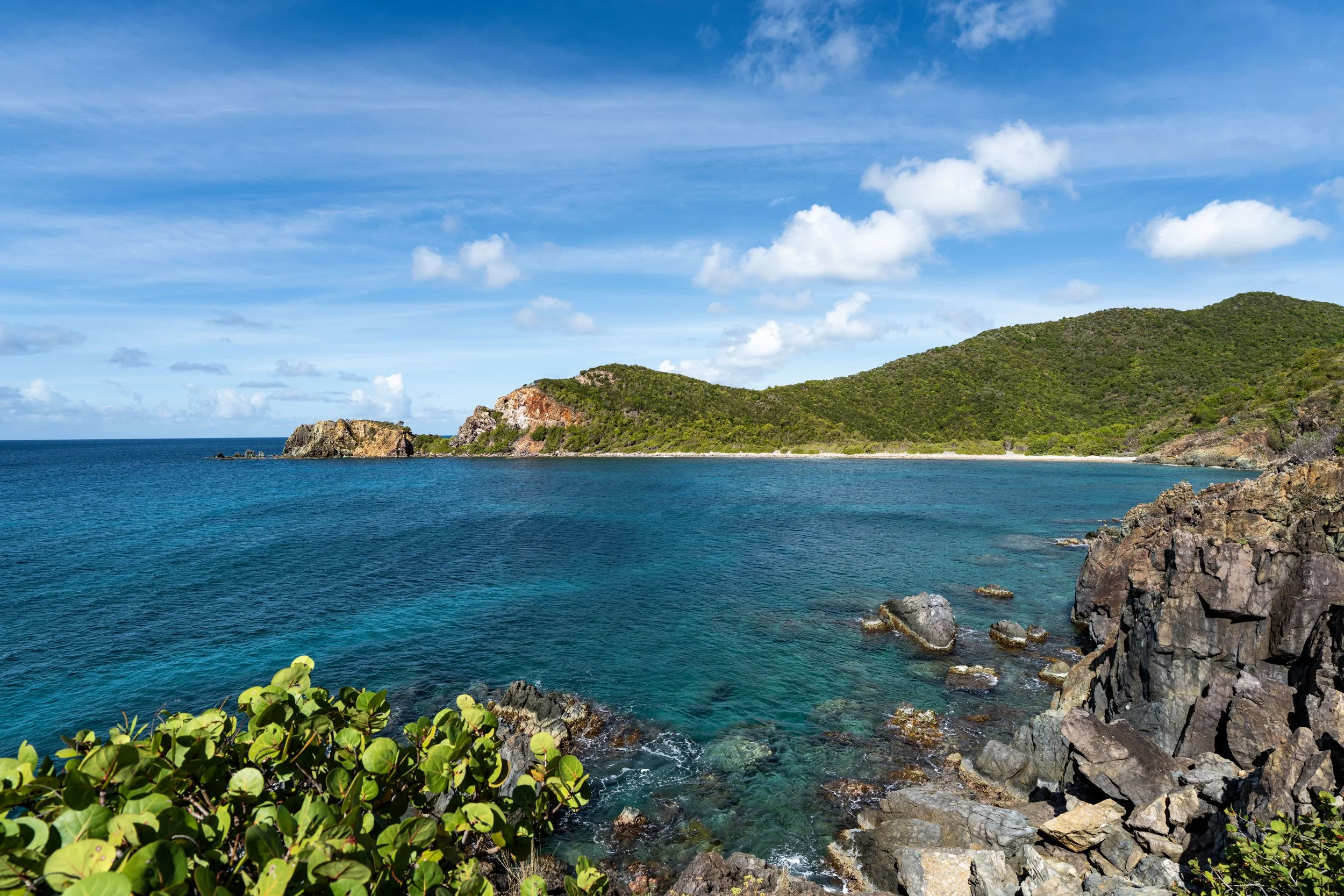
After the first viewpoint, there is yet one more viewpoint to come, located at the second switchback on the hike up to the Upper Bordeaux Mountain Trailhead.
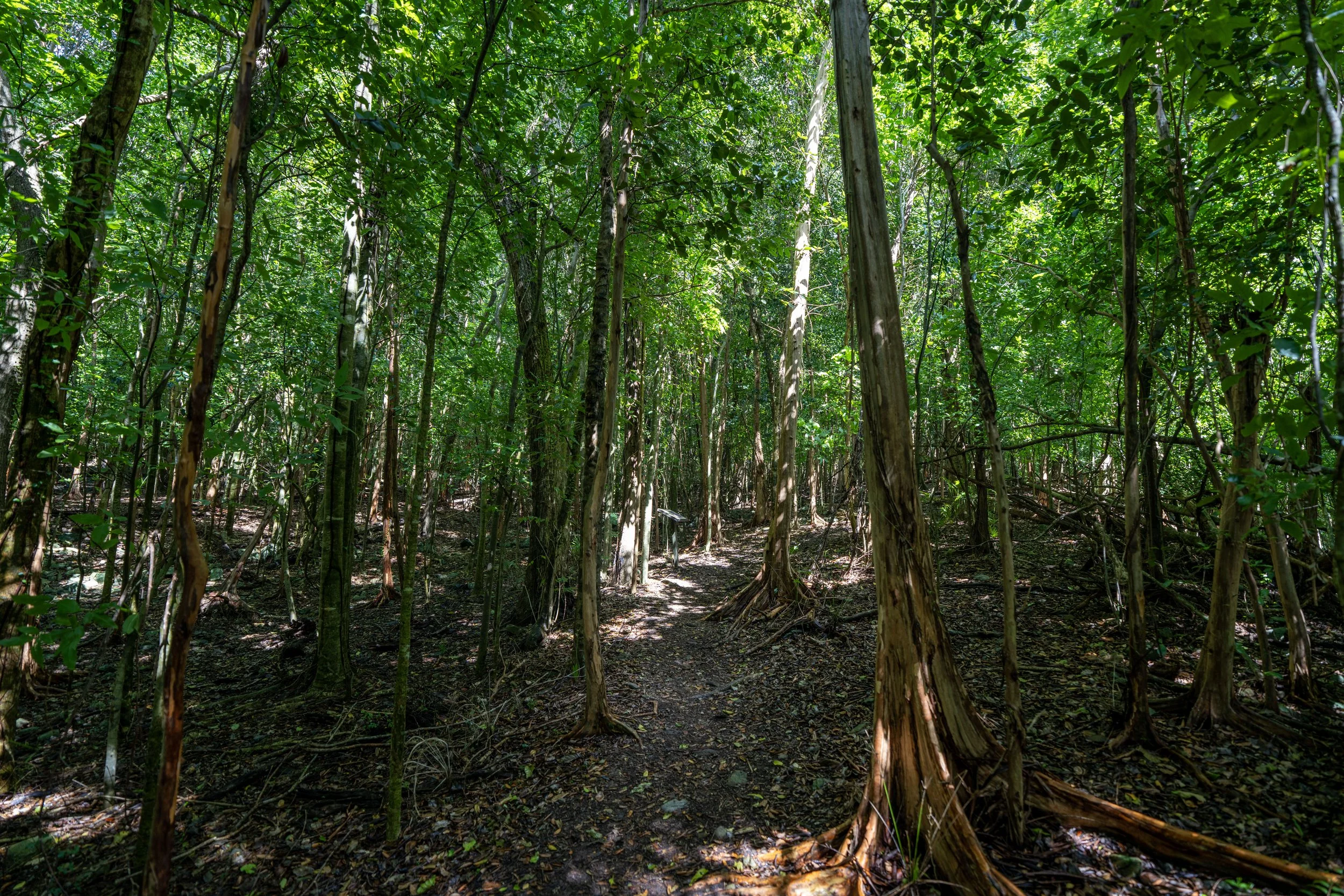
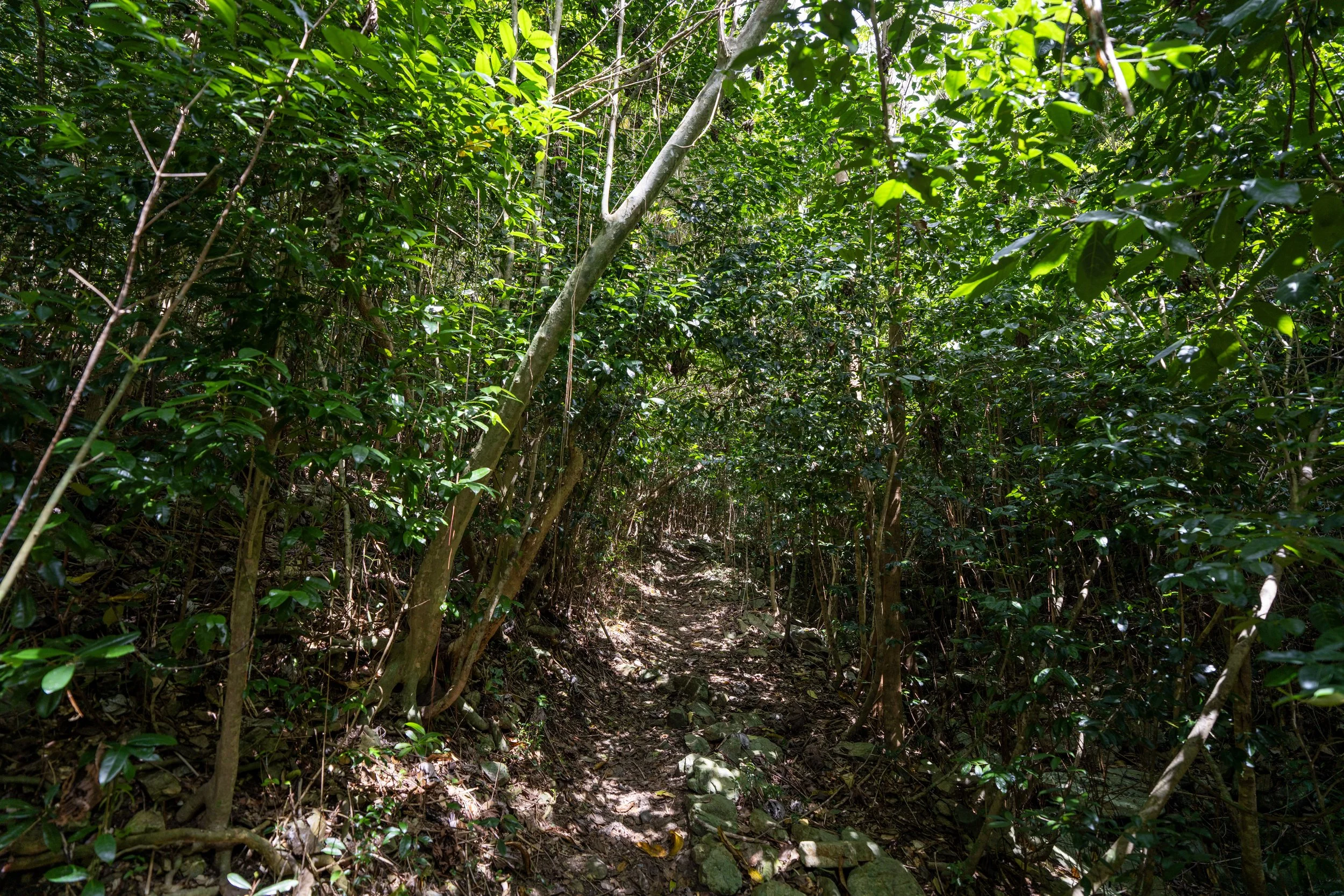
This is where elevation—and in turn increased rainfall—start to play a role in the island’s ecosystem, as the lower, more exposed sections of the Bordeaux Mountain Trail begin to give way to a wetter landscape with taller overstory trees.
This switchback is a nice sign that the second and uppermost viewpoint is just a short distance ahead!
At the very next switchback on the hike up to Bordeaux Mountain Road, the Bordeaux Mountain Trail passes the second and final viewpoint before the Upper Trailhead.
If you were looking for a good place to turn back, I think this is a great spot to start heading back down, since the rest of the hike to the Upper Bordeaux Mountain Trailhead simply winds its way through the trees.
After the second viewpoint, there is only about 0.25 miles (0.4 km) left before the trail reaches the Upper Bordeaux Mountain Trailhead.
Upper Bordeaux Mountain Trailhead Parking
After 1.2 miles (1.9 km), the Bordeaux Mountain Trail reaches the Upper Trailhead off Bordeaux Mountain Road.
One thing that is probably noticeable is that, even though Bordeaux Mountain is the highest peak on St. John and in Virgin Islands National Park, the trail does not climb to the true summit.
Rather, the true summit is located a bit off the trail from this point, and it’s not really the panoramic viewpoint one might expect the highest peak on the island to be.
However, there are better viewpoints worth hiking to, particularly those along the Caneel Hill Trail near Cruz Bay and the visitor center.