Hiking the Peace Hill Trail in Virgin Islands National Park
Distance: 0.2 miles / 0.3 km
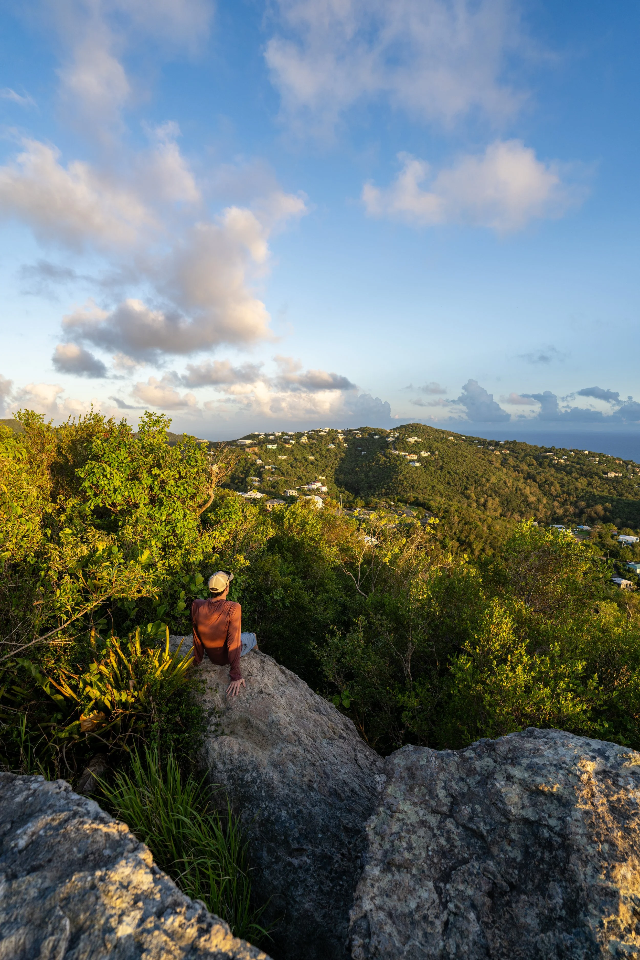
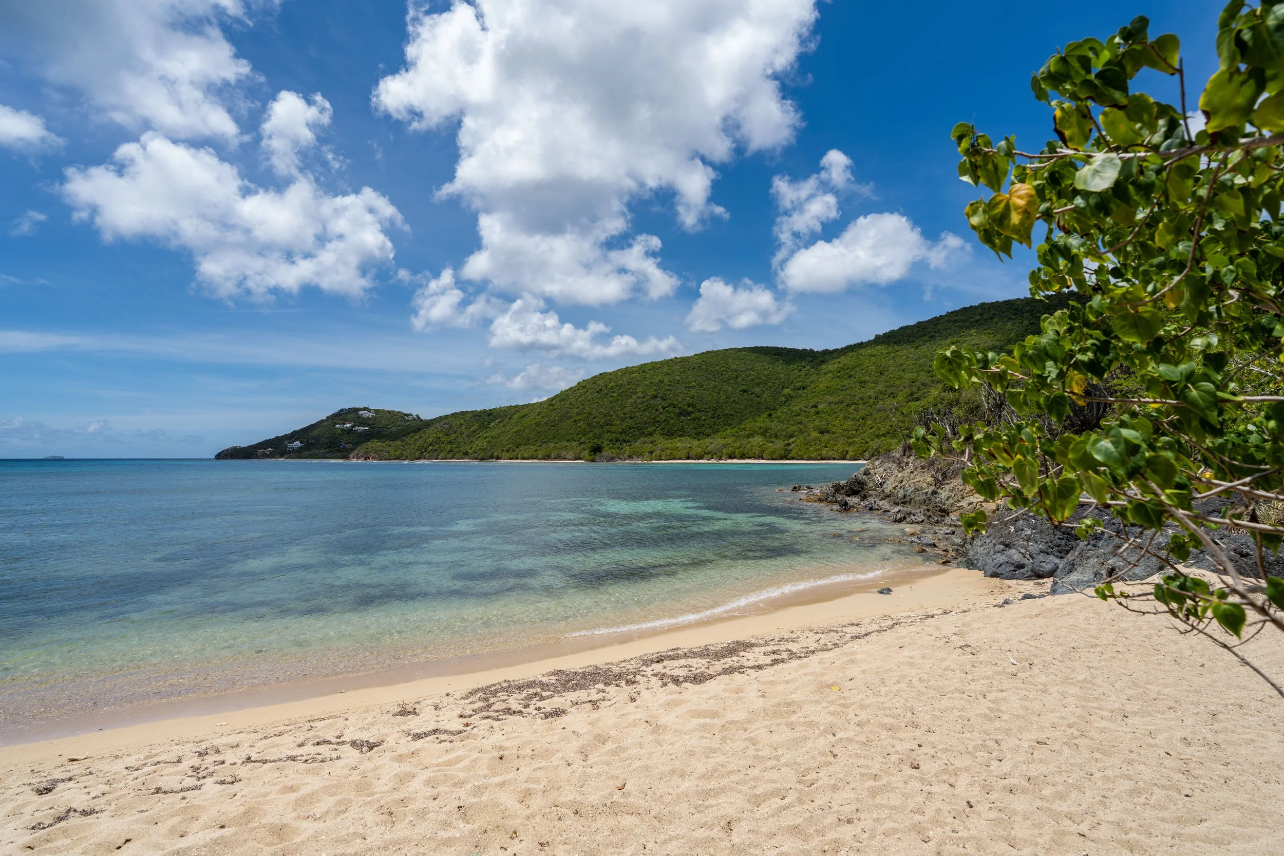
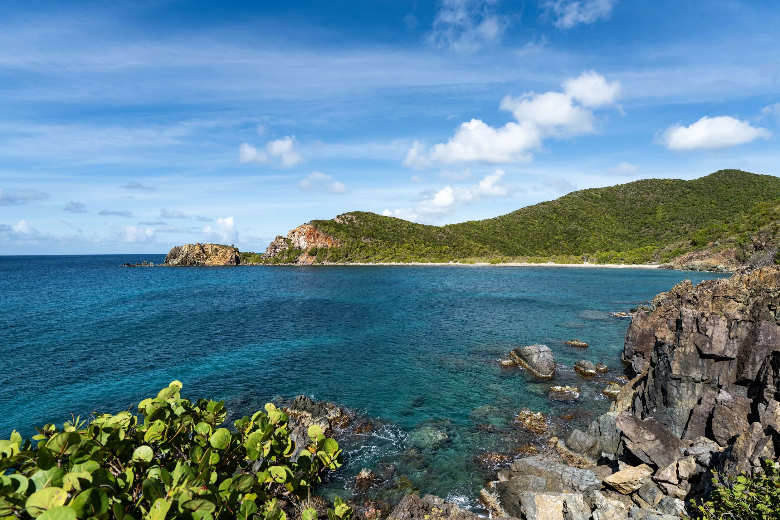
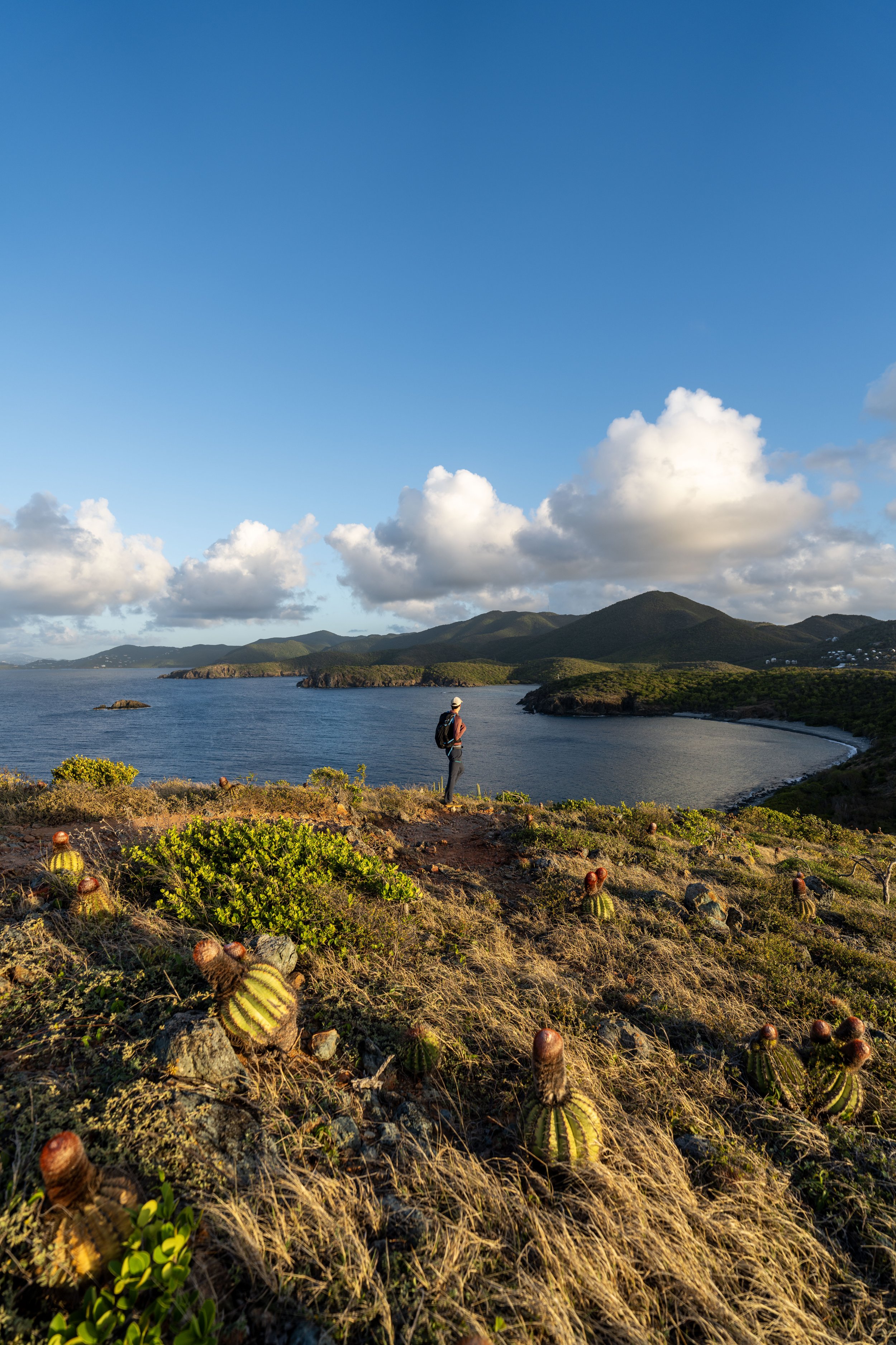
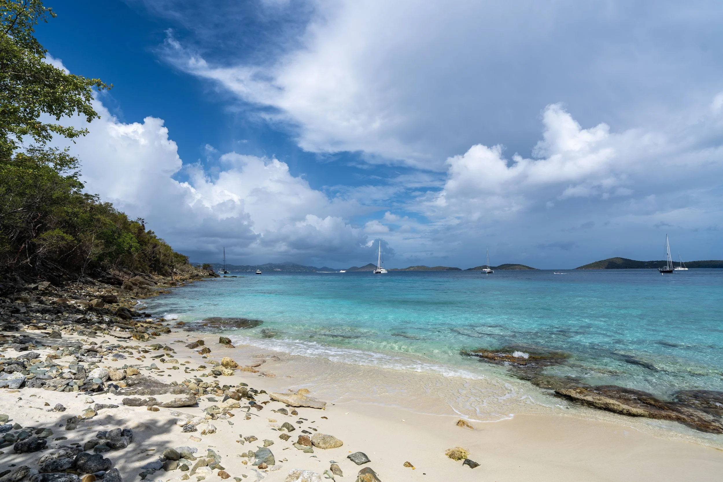
The Peace Hill Trail in Virgin Islands National Park is a very short out-and-back day hike that climbs to a historic Danish plantation sugar-mill ruin and a beautiful panoramic viewpoint above Hawksnest Bay to the west and Trunk Bay to the east!
That said, the summit of Peace Hill and the west-facing views toward Hawksnest Bay are one of the best places to watch sunset in Virgin Islands National Park—not to mention, the short Peace Hill Trail is the shortest sunset hike of all there is to consider on the island, including the Ram Head Trail, the Lind Point Trail, and the Caneel Hill Trail, to name a few.
All of this is to say, the Peace Hill Trail is one of the easiest hikes in Virgin Islands National Park, which is why I highly recommend adding the short adventure to your St. John bucket list, as it truly takes very little time to enjoy before moving on to other stops off North Shore Road!
Peace Hill Trailhead Parking
Parking for the Peace Hill Trail is located in a very small parking lot at the base of the hill, directly off North Shore Road.
That said, the Peace Hill Trail typically gets busy by mid-morning and throughout the day, but by sunset—when I recommend hiking up to the top—the trail is often much less crowded.
Google Maps Directions: Peace Hill Trailhead
Hiking Checklist - Virgin Islands
Here is a complete list of must-have things that you will want for any hike in Virgin Islands National Park.
Hiking the Peace Hill Trail
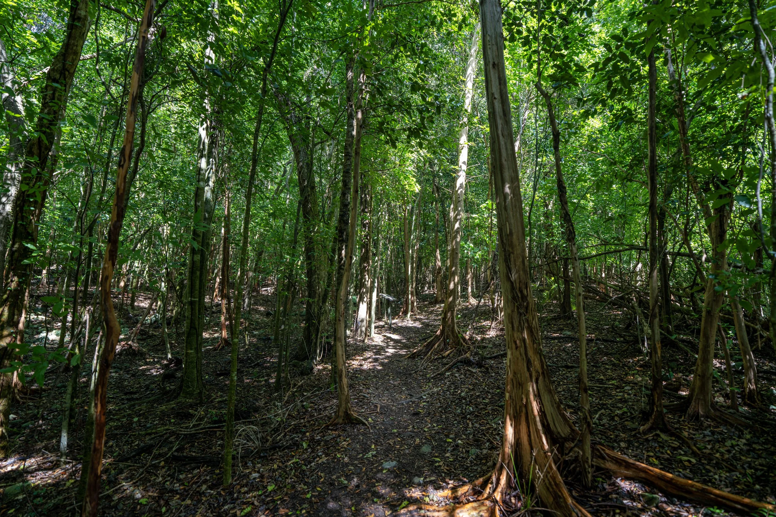
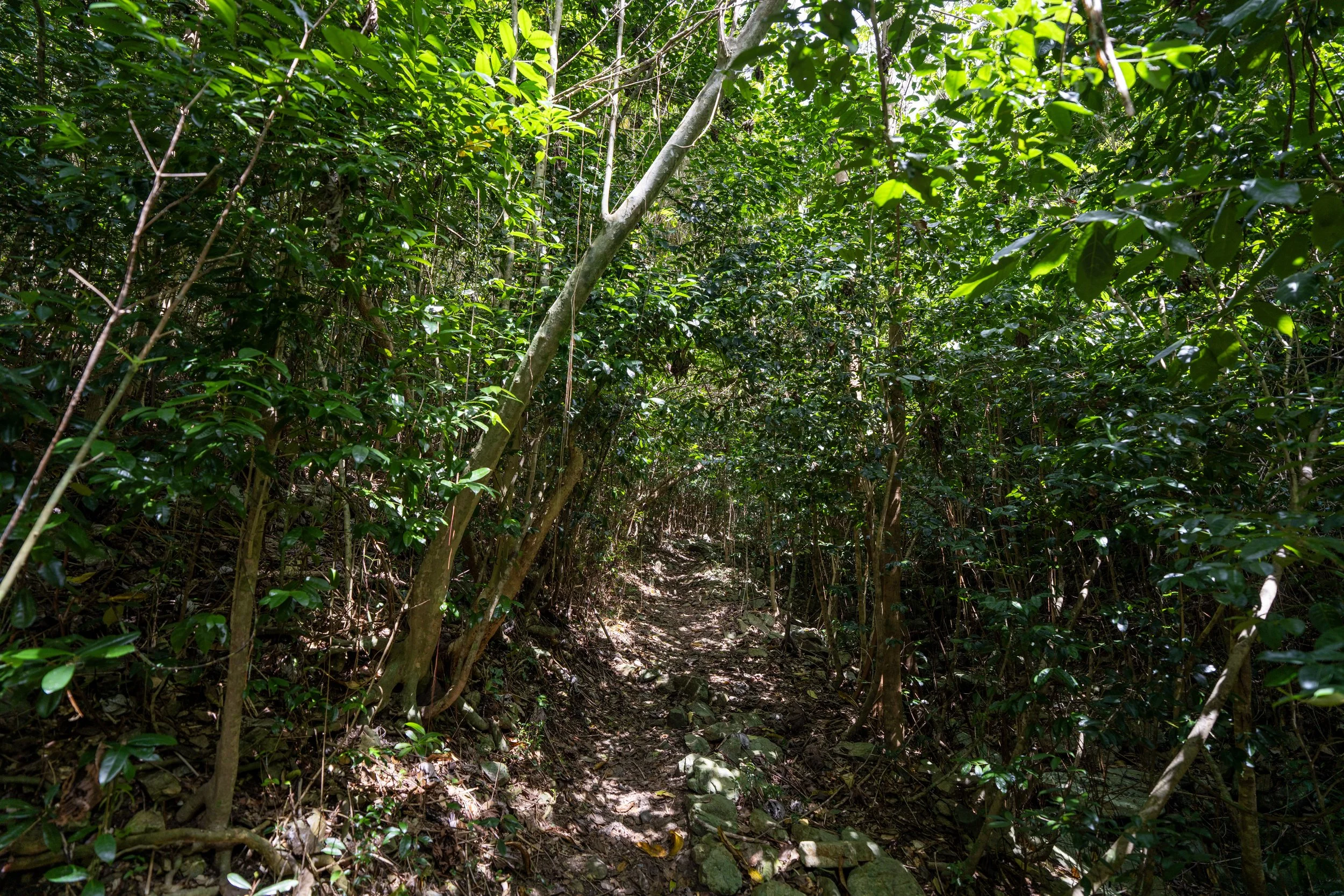
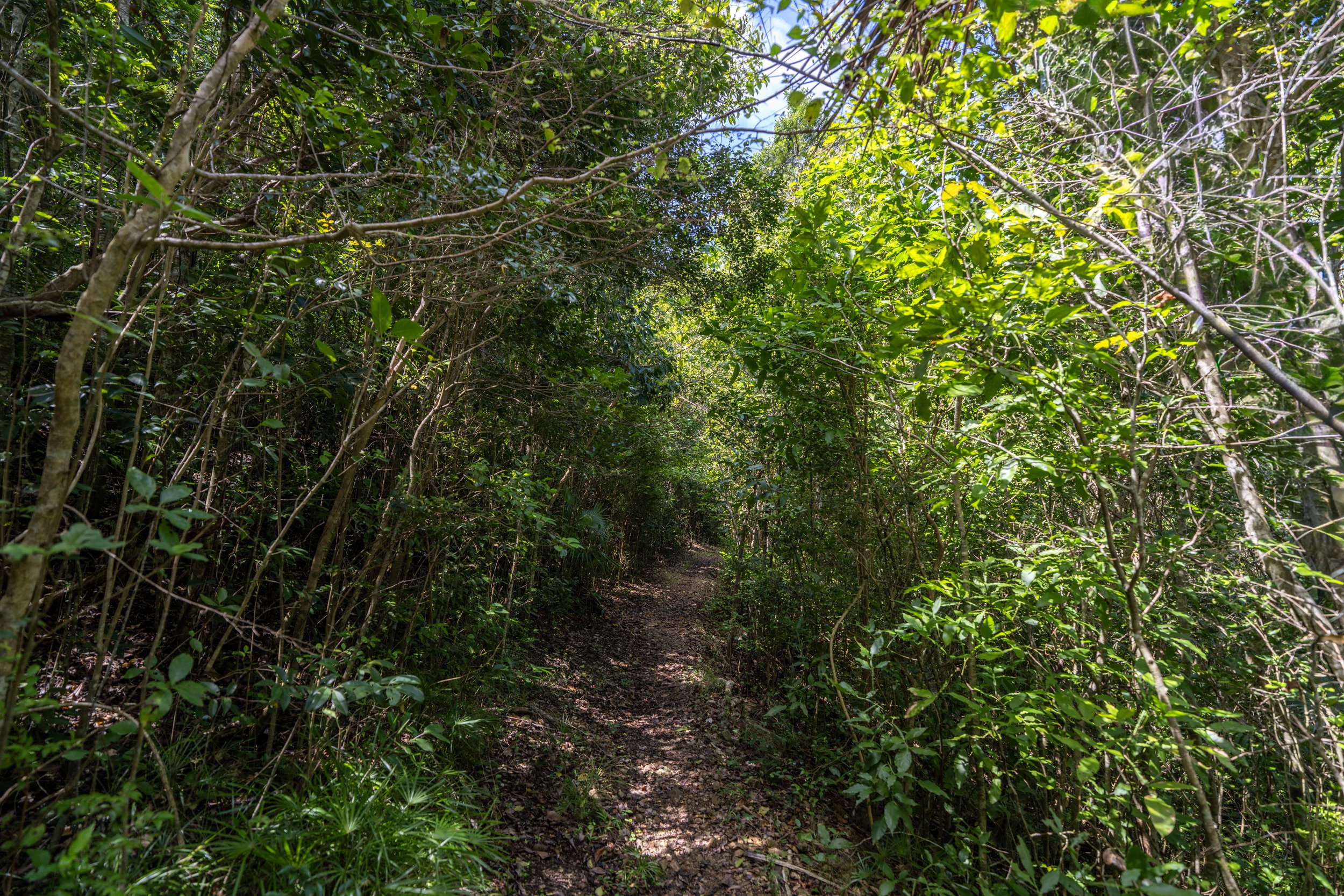
The Peace Hill Trail is an all-uphill hike, but since it is such a short 0.1-mile (0.2 km) adventure, it is truly one of the easiest trails in Virgin Islands National Park!
Peace Hill-Denis Bay Junction
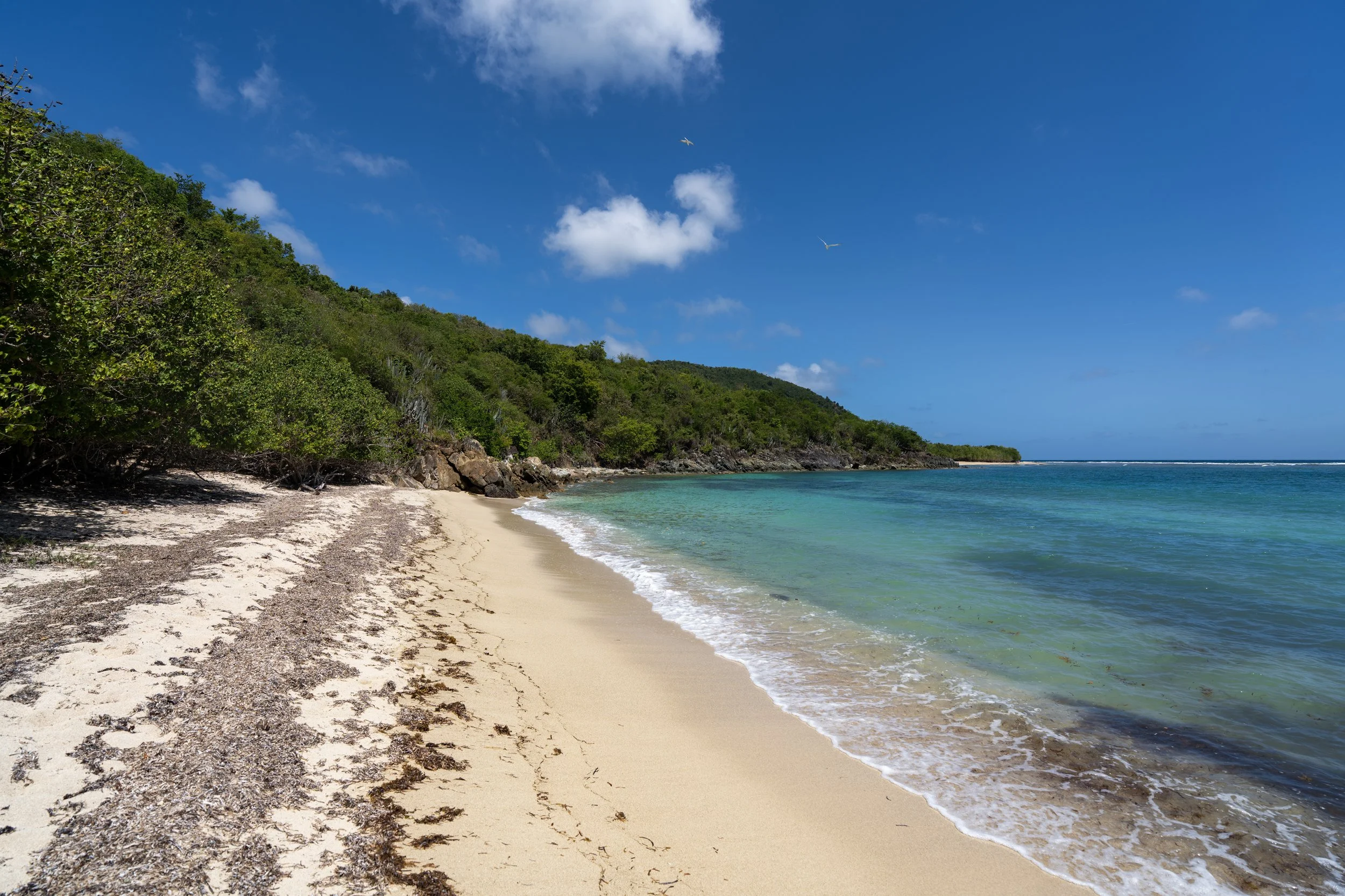
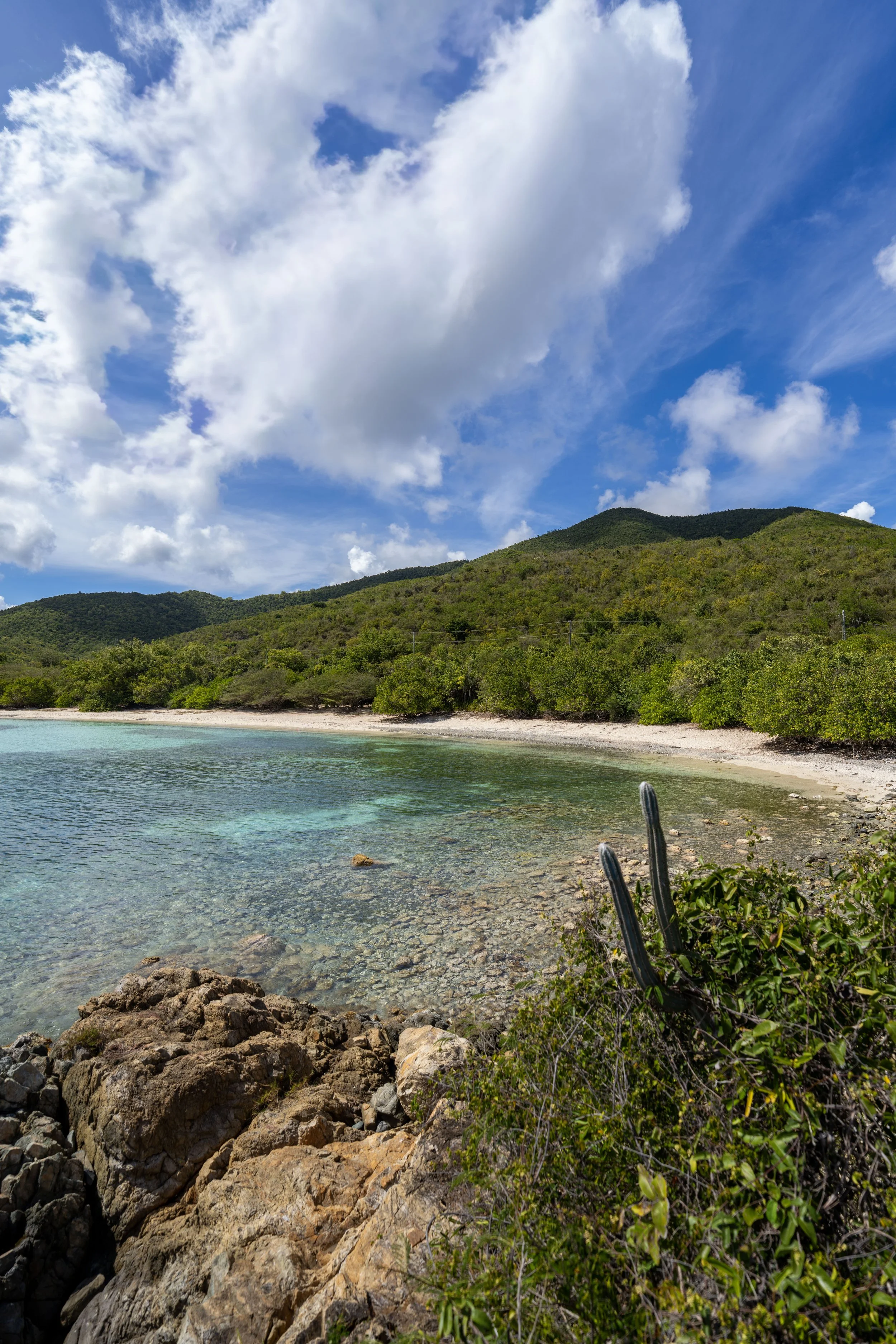
After just a few steps, the Peace Hill Trail splits, with a little-known side trail that leads down to Oppenheimer Beach, more commonly known as Denis Bay.
Once here, go straight (left) to continue up the hill to the ruins at the top, but to learn more about the beautiful hike down to Denis Bay, all the details can be found in my separate post linked below.
Read My Separate Post: Denis Bay Trail
After the Denis Bay junction, the Peace Hill Trail simply continues up the steep hill, which comes to an end just a short distance ahead.
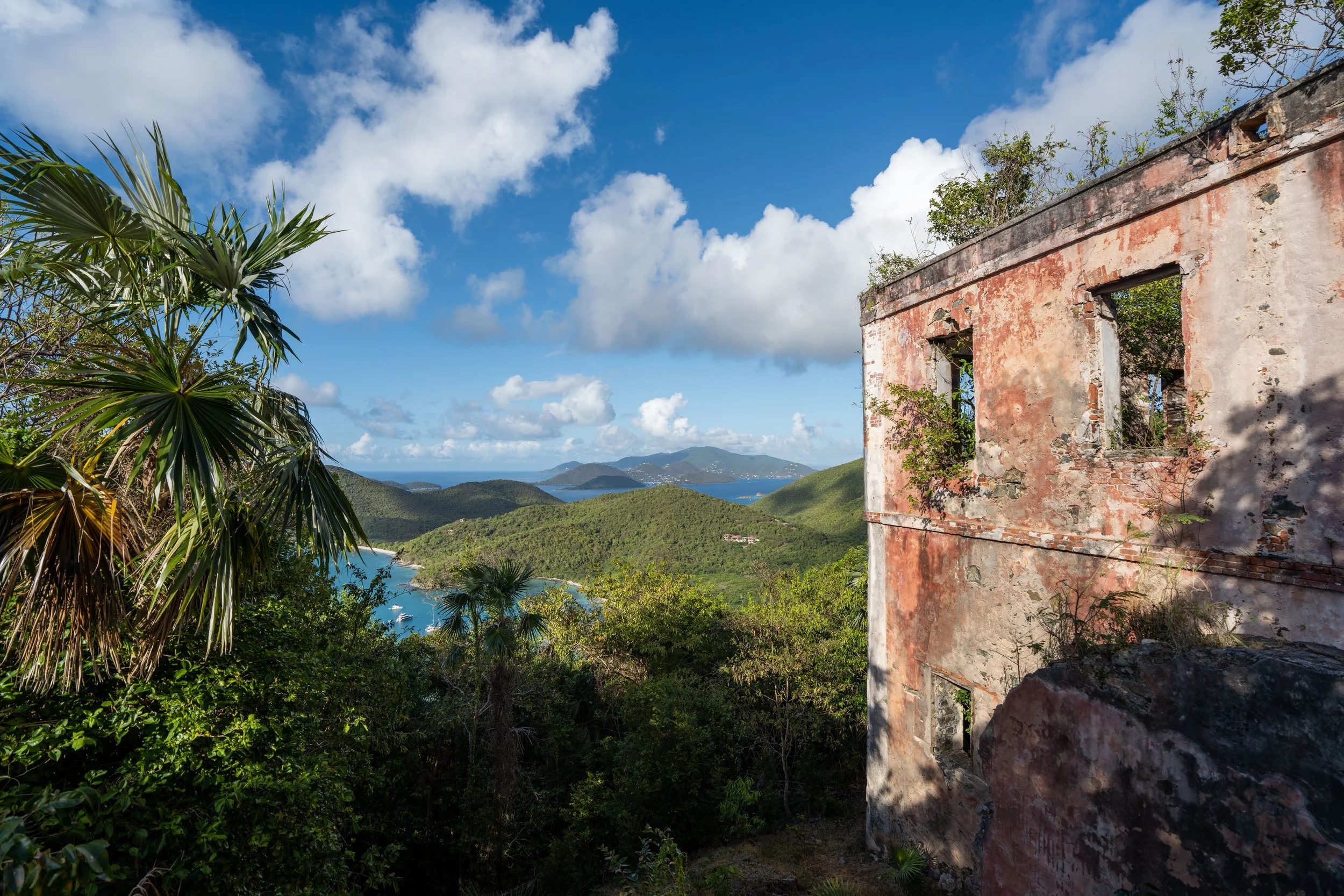
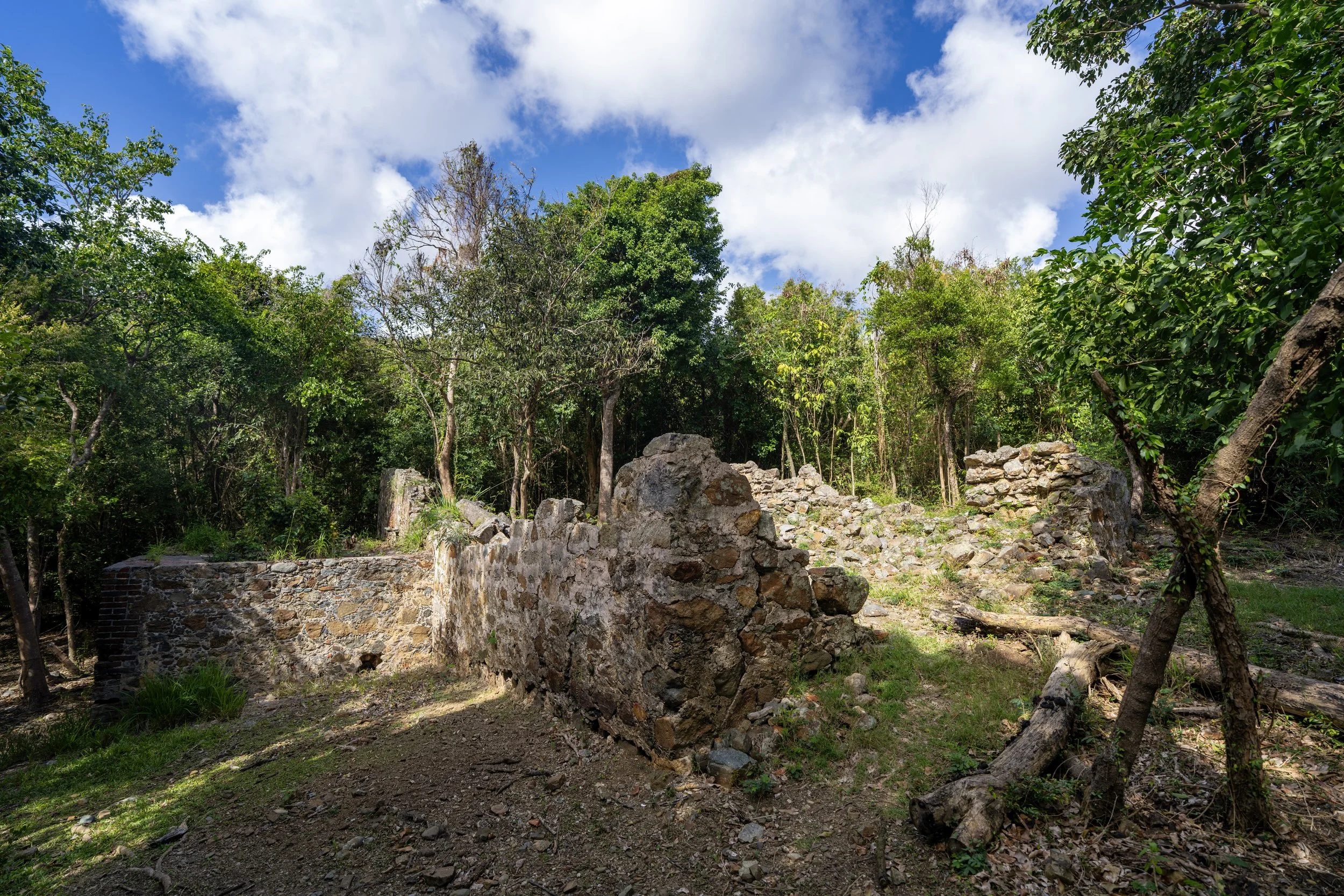
Peace Hill
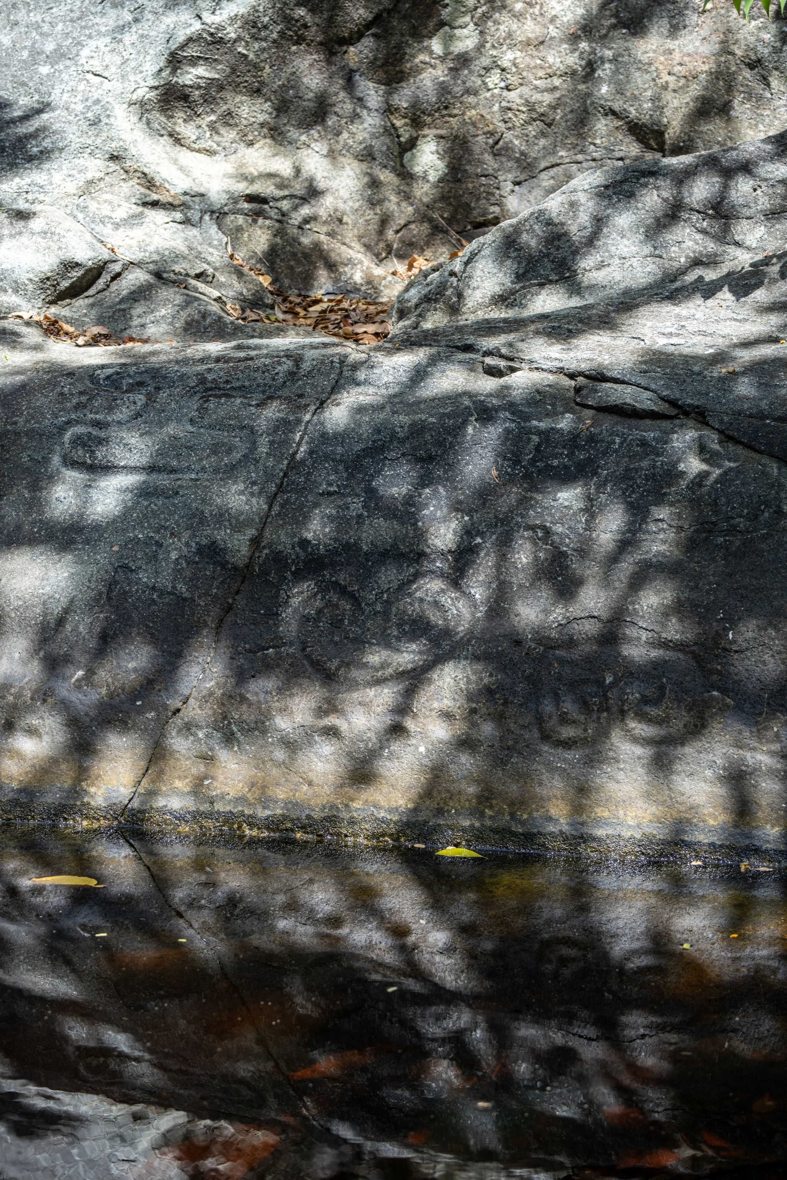
This is the summit of Peace Hill and the abandoned sugar mill commonly seen in photos.
As the hidden plaque indicates below, Peace Hill was not always accessible to the public.
By this, I mean that Virgin Islands National Park was established in August 1956, but the site wasn’t acquired until decades later when Lieutenant Colonel Julius Wadsworth donated the former Denis Bay Plantation land to the National Park Service in 1975.
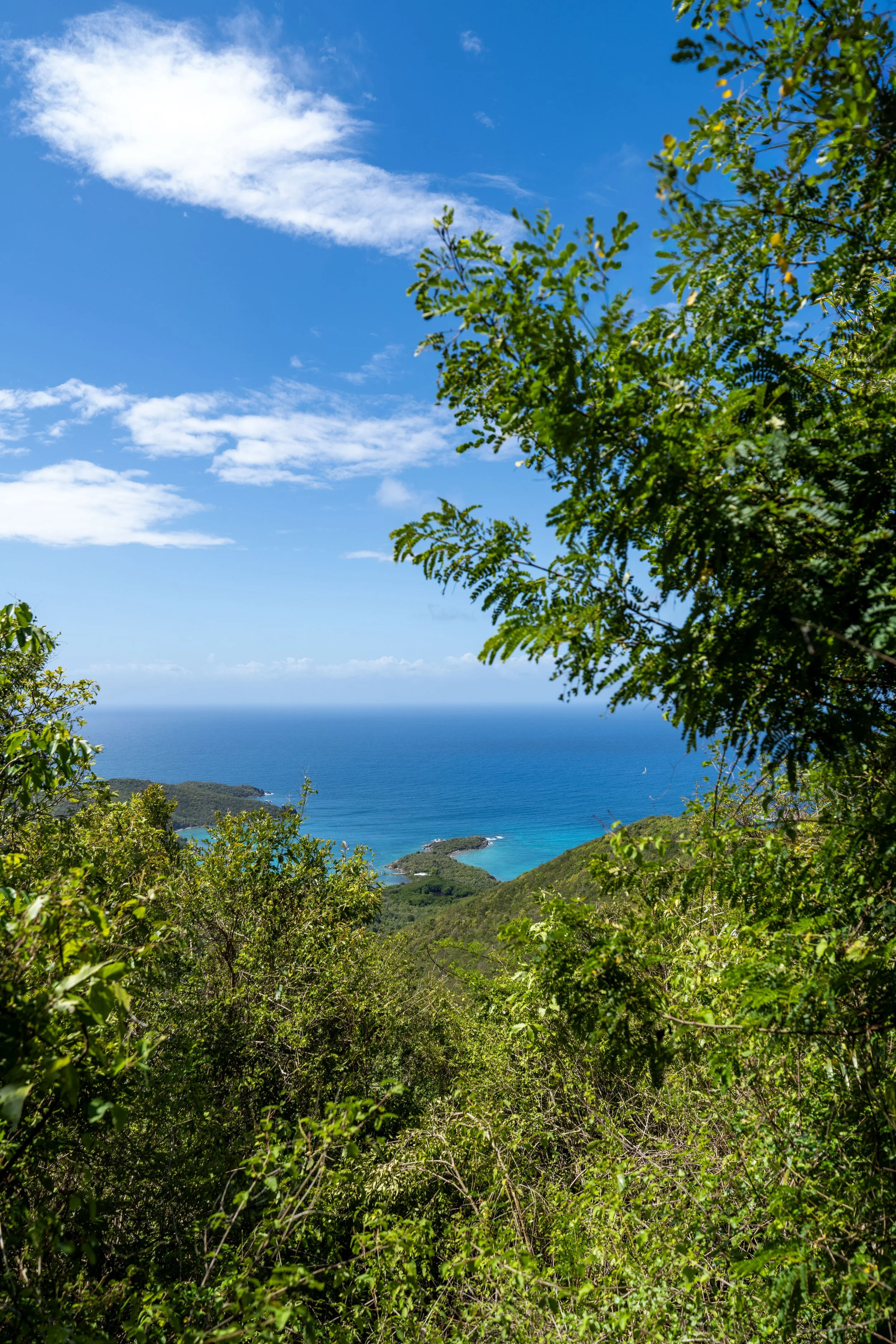
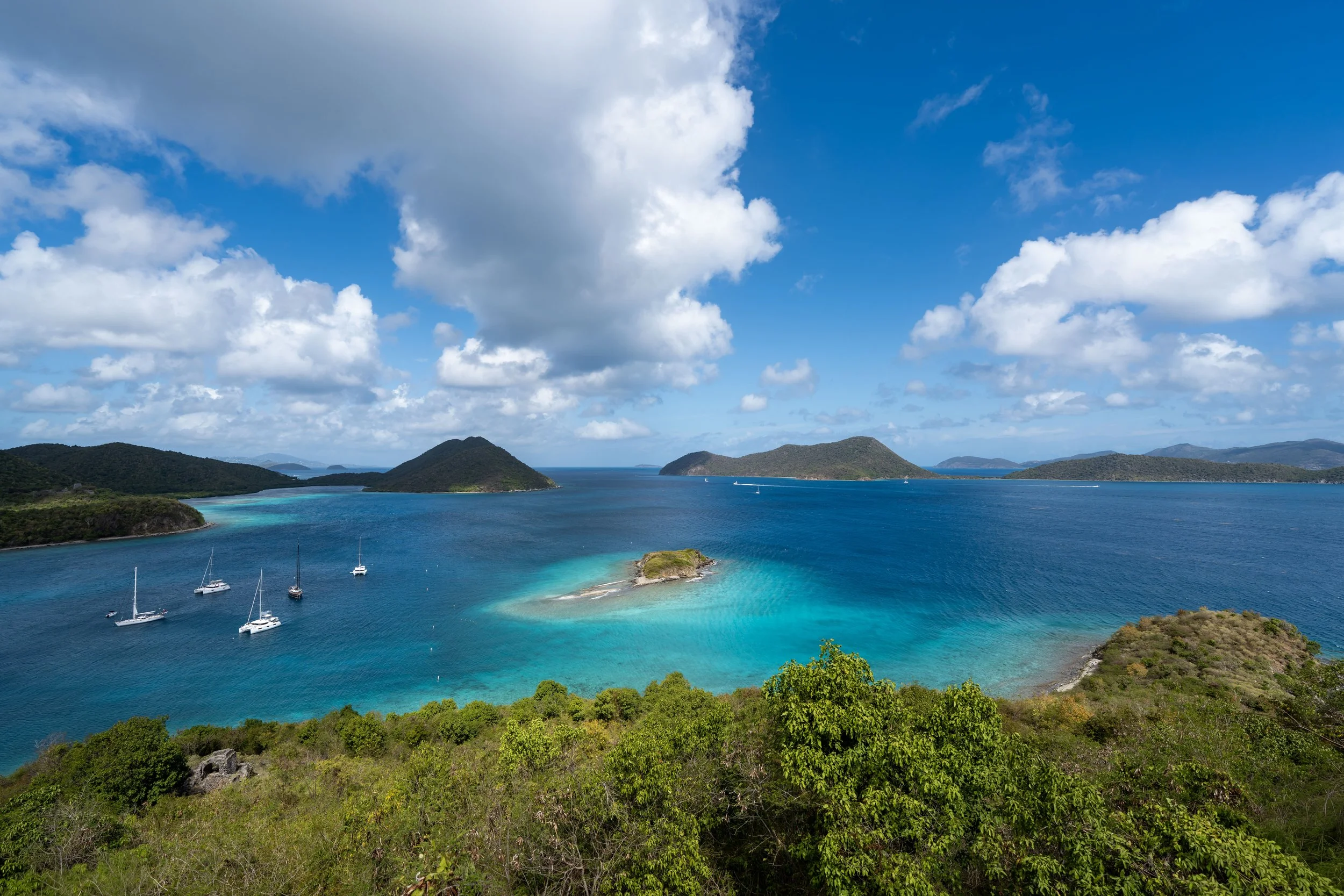
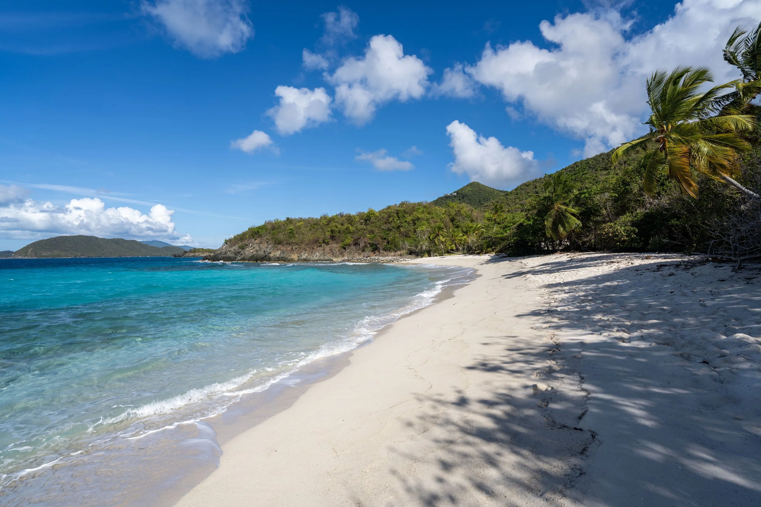
This is the view looking east toward Trunk Bay and Francis Bay beyond.
However, I believe the summit is better for sunset—but I’ll leave that view a surprise!