Hiking the Lameshur Bay Trail in Virgin Islands National Park
Distance (One Way Not Including Side Trails): 1.5 miles / 2.4 km
The Lameshur Bay Trail in Virgin Islands National Park is more or less a connector trail between the end of Lameshur Road and the Reef Bay Trail, where hikers can explore three different side trails, with the option to continue past the end of the hike toward popular destinations like Reef Bay Beach and the Petroglyph Trail!
It’s for all these reasons that there’s really no telling how much or how little you may end up actually hiking, which is why only the one-way distance from the trailhead to the Reef Bay Trail is mentioned above.
That said, the one-way distances are 0.3 miles (0.5 km) for the Europa Point Trail, 0.25 miles (0.4 km) for the Europa Bay Trail, and 0.2 miles (0.3 km) for the Reef Bay Great House Trail.
In addition, the Petroglyph Trail is 0.25 miles (0.4 km) each way, and the Reef Bay Trail to the beach is 0.8 miles (1.3 km) from the end of Lameshur Bay.
All this aside, the Lameshur Bay Trail can be a great option for those interested in a one-way hike via the Reef Bay Trailhead off Centerline Road, as there is not as much elevation gain on the hike out as there is when returning to the Reef Bay Trailhead.
Lameshur Bay Trailhead Parking
Parking for the Lameshur Bay Trail is located at the very end of Lameshur Road on the south side of St. John.
Before visiting, know that the Lameshur Bay Trailhead is best accessed with a high-clearance, 4×4 vehicle, which works out well since most rentals on St. John are Jeeps!
Google Maps Directions: Lameshur Bay Trailhead
Hiking Checklist - Virgin Islands
Here is a complete list of must-have things that you will want for any hike in Virgin Islands National Park.
Hiking the Lameshur Bay Trail
The end of Lameshur Road is both the start of the Lameshur Bay Trail and the Bordeaux Mountain Trail.
That said, follow the path on the left to begin the Lameshur Bay Trail toward Europa Bay and Reef Bay beyond.
Read My Separate Post: Bordeaux Mountain Trail
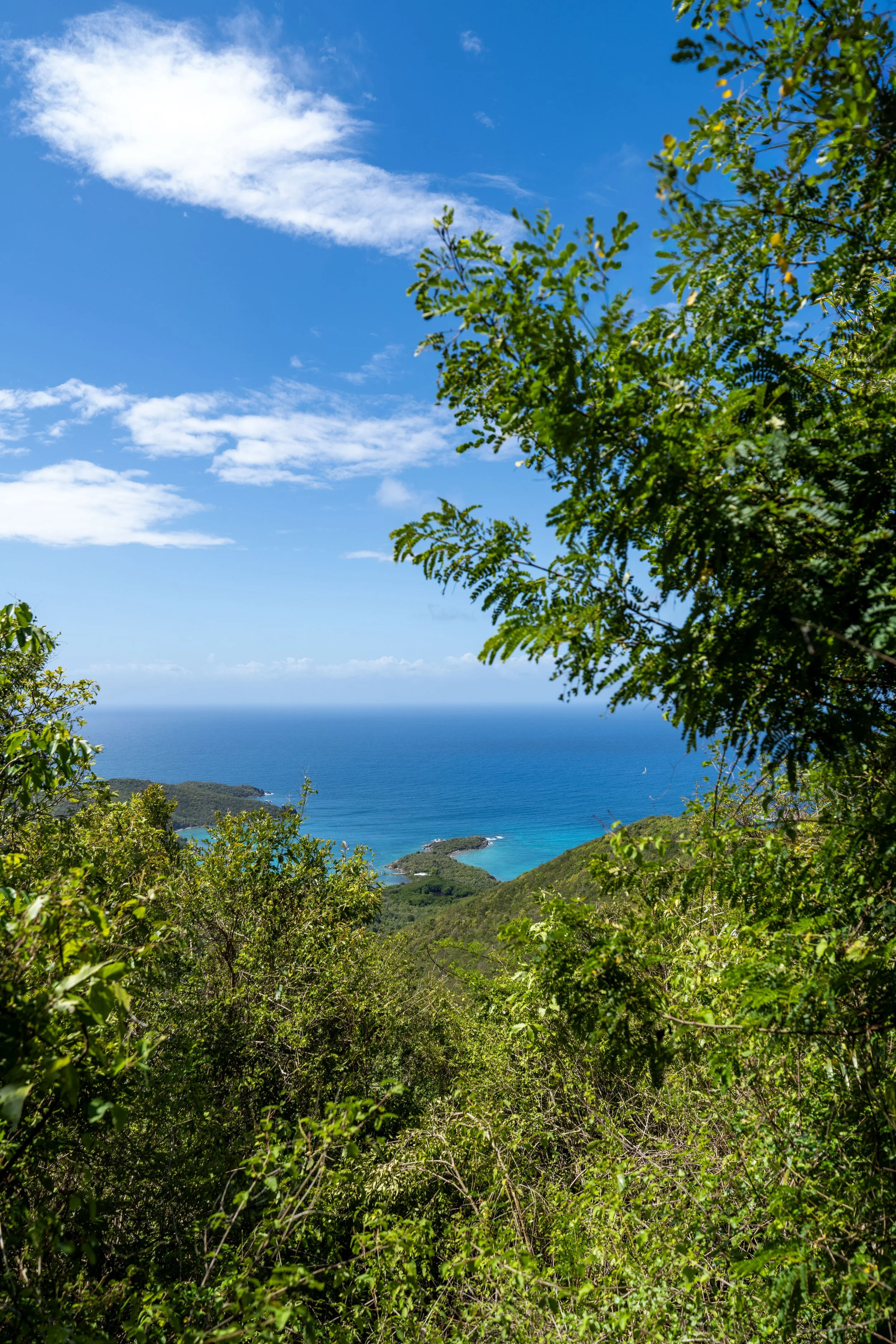
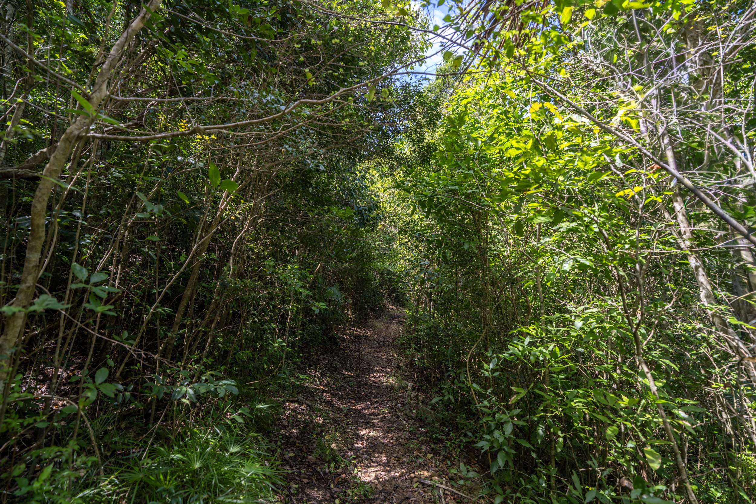
The Lameshur Bay Trail begins as a very flat path, but this doesn’t last long, regardless of whether you decide to hike either the Europa Point or Europa Bay Trail, or continue on the main trail toward Reef Bay.
I mention this because there’s often a perception that the Lameshur Bay Trail is flat, since it is considered an easier hike out than hiking back up the Reef Bay Trail to Centerline Road.
However, that is not entirely true, which I will show and talk about in more detail below.
Lameshur Bay-Europa Point Junction
After roughly 0.2 miles (0.3 km), the Lameshur Bay Trail reaches the first of three side trails on the way to the Reef Bay Trail—the first being the trail that leads out toward Europa Point.
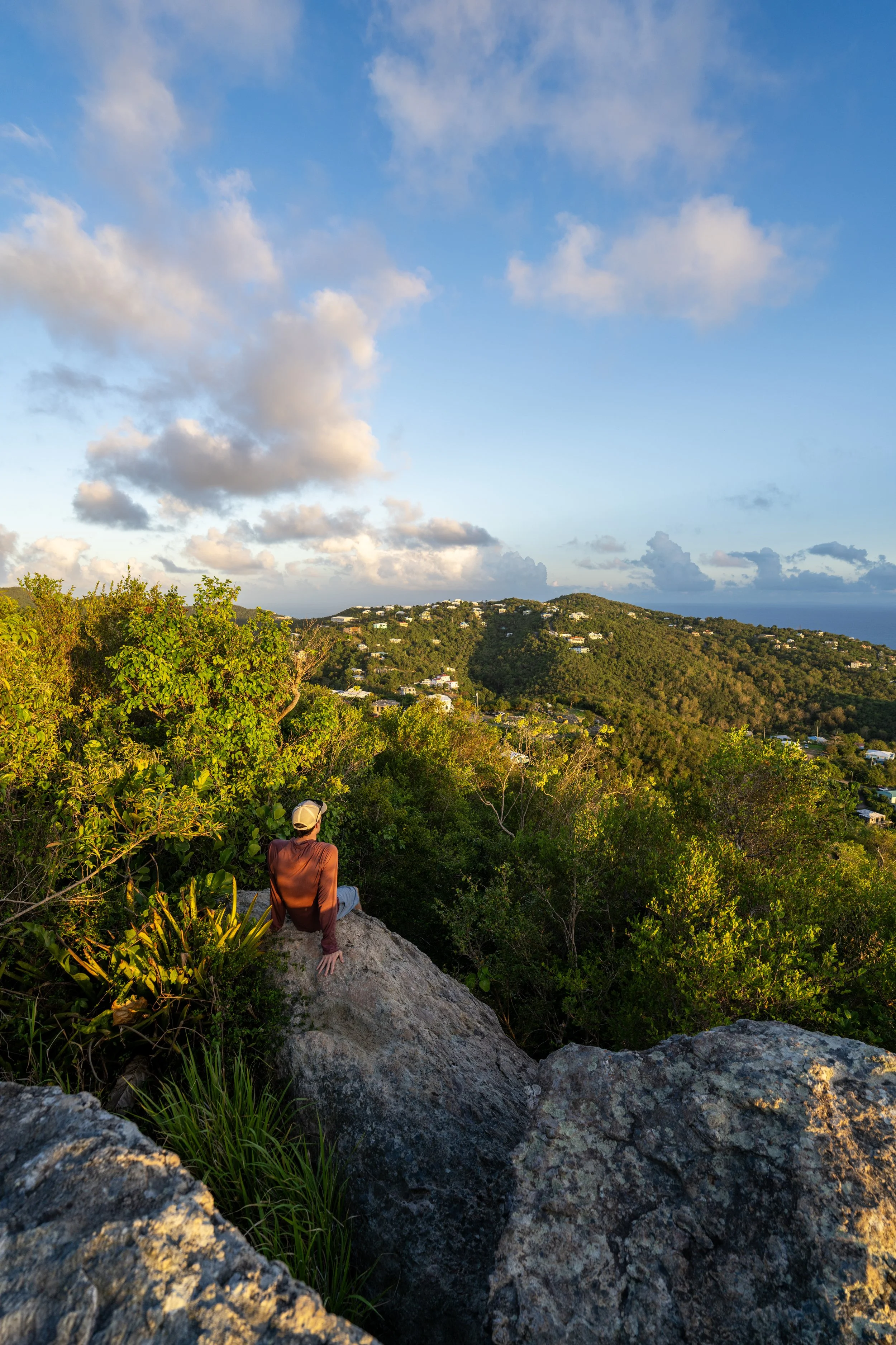
Personally, I think the Europa Point Trail is the best of all three because the views at the end are better than the other two.
To skip past the Europa Point Trail, click here.
Europa Point Trail
I chose to go left to begin hiking the short 0.3-mile (0.5 km) trail out to Europa Point.
After a few steps, the Europa Point Trail begins climbing a short hill toward the viewpoint of Europa Bay at the end.
This is the top of the short hill before Europa Point.
Just before the best viewpoint of Europa Bay, the trail crosses over a very dramatic crack.
That said, slipping or falling would certainly have very severe consequences here, which is why I recommend turning back if you’re not comfortable hopping over—not to mention, the Lameshur Bay Trail is not the most popular day hike in Virgin Islands National Park, meaning that help may be very far away!
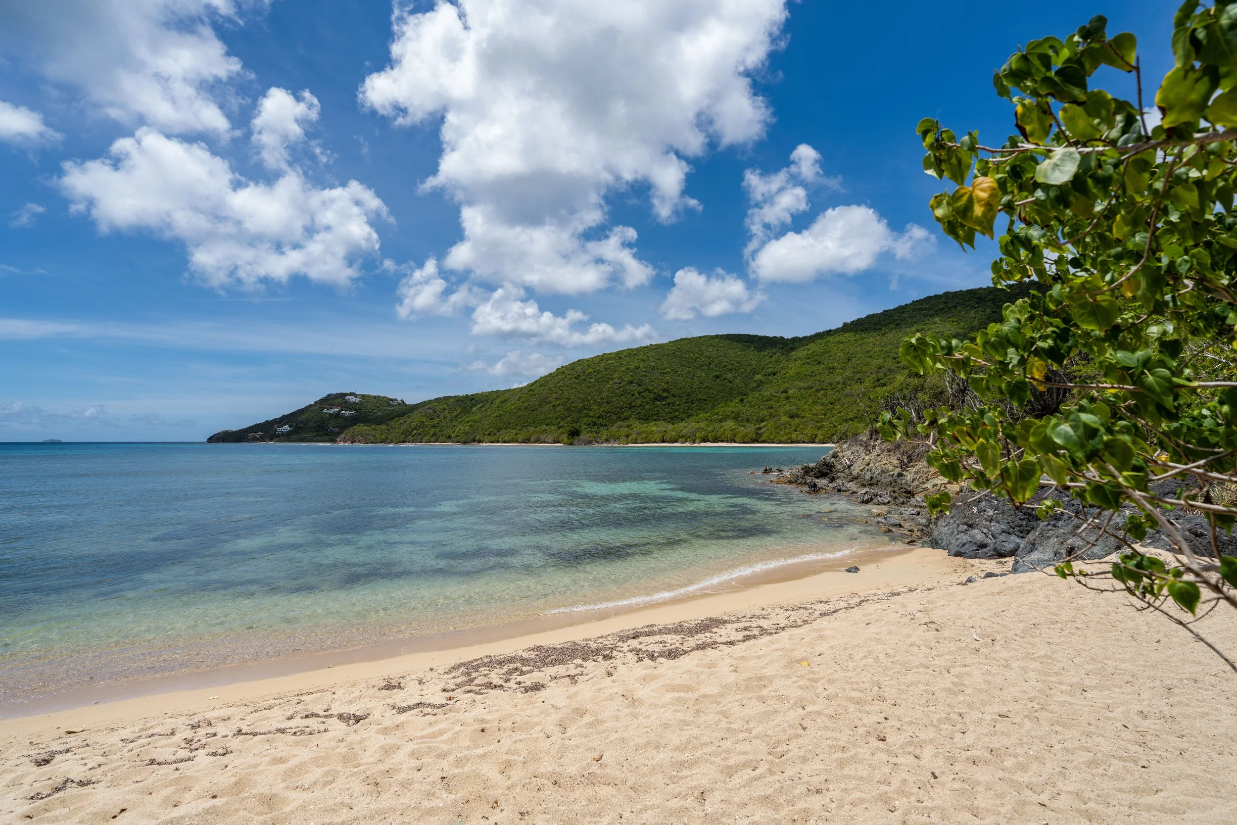
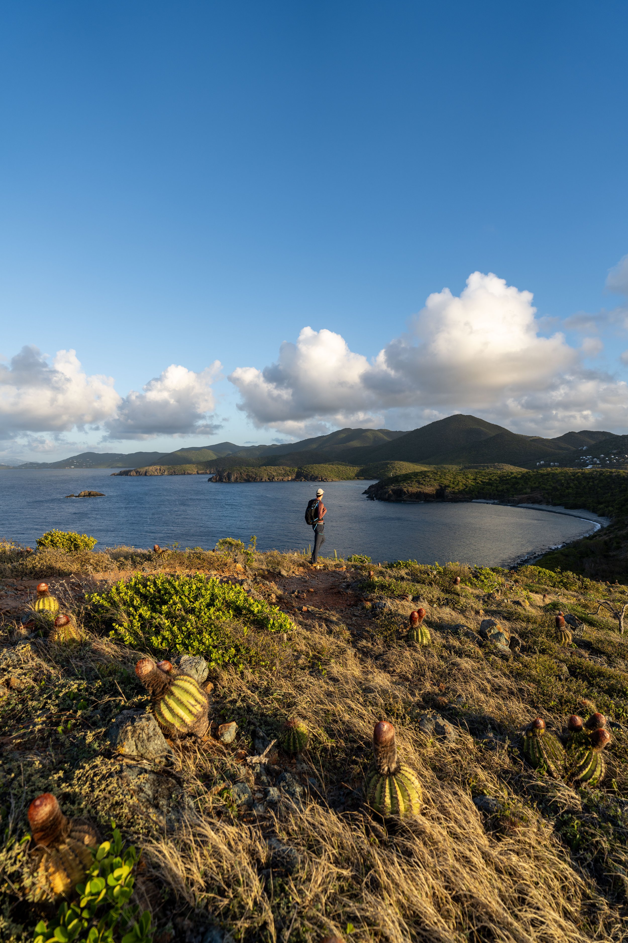
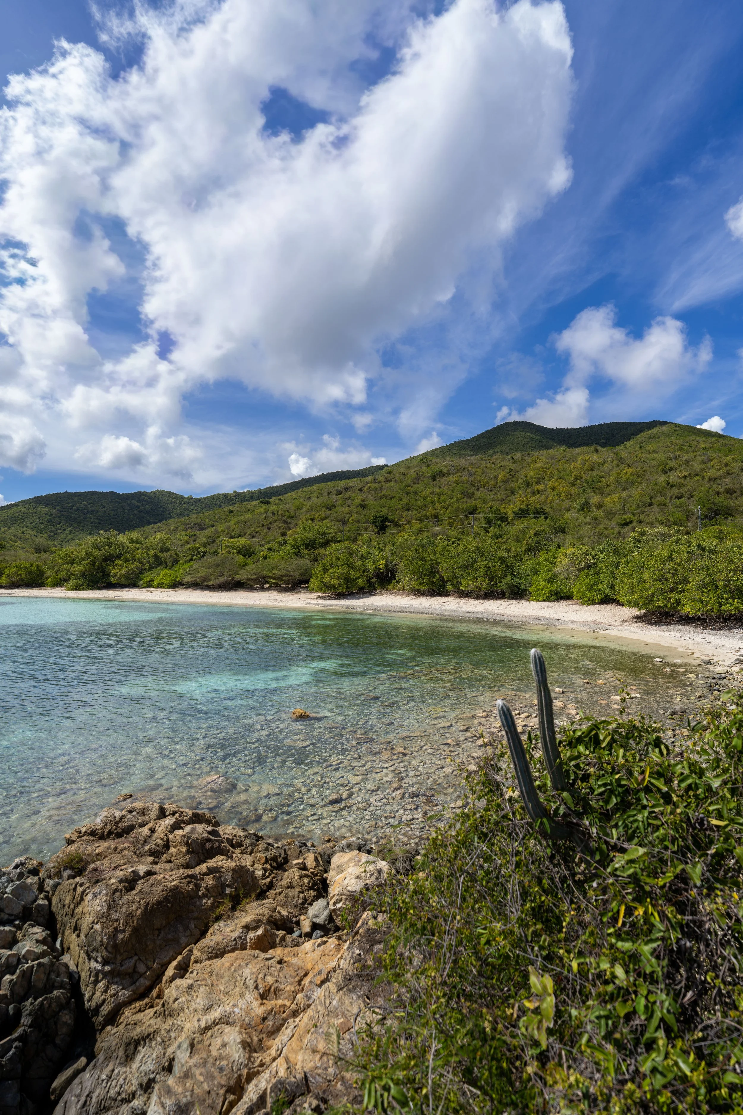
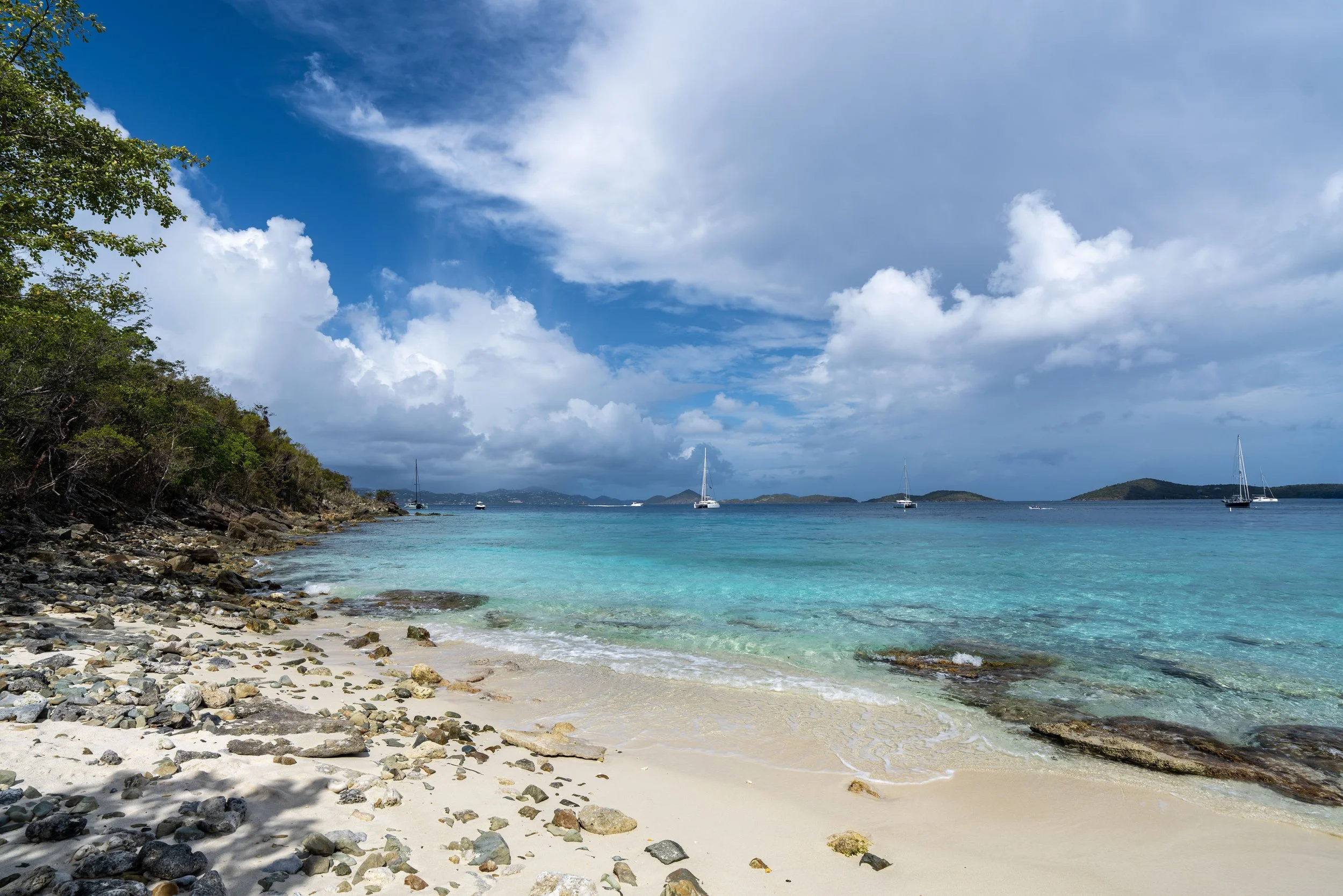
Europa Point
This is the end of the short 0.3-mile (0.5 km) Europa Point Trail, which looks directly out toward the end of the Europa Bay Trail that branches away from the main Lameshur Bay Trail, about 0.1 miles (0.2 km) from the junction shown below.
Lameshur Bay-Europa Point Junction
Once back at the Lameshur Bay Trail, go left to continue hiking toward the Europa Bay Trail and the Reef Bay Trail beyond.
Shortly after the Europa Point junction, the Lameshur Bay Trail begins climbing, which is exactly why I mentioned at the beginning that there is more elevation change than may initially seem.
Lameshur Bay-Europa Bay Junction
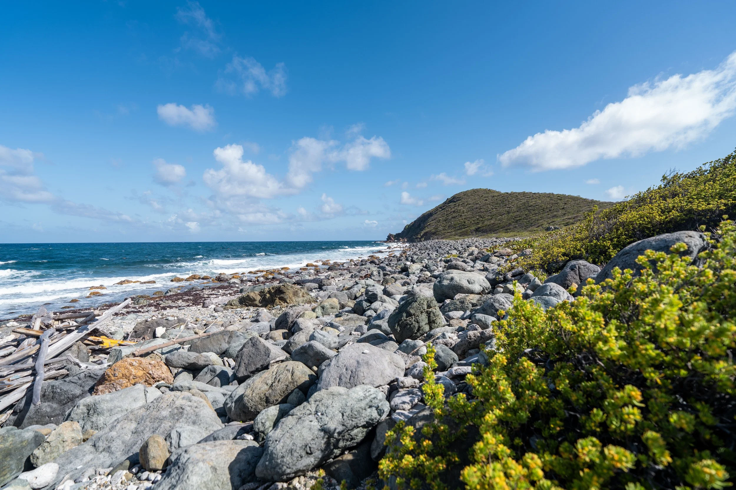
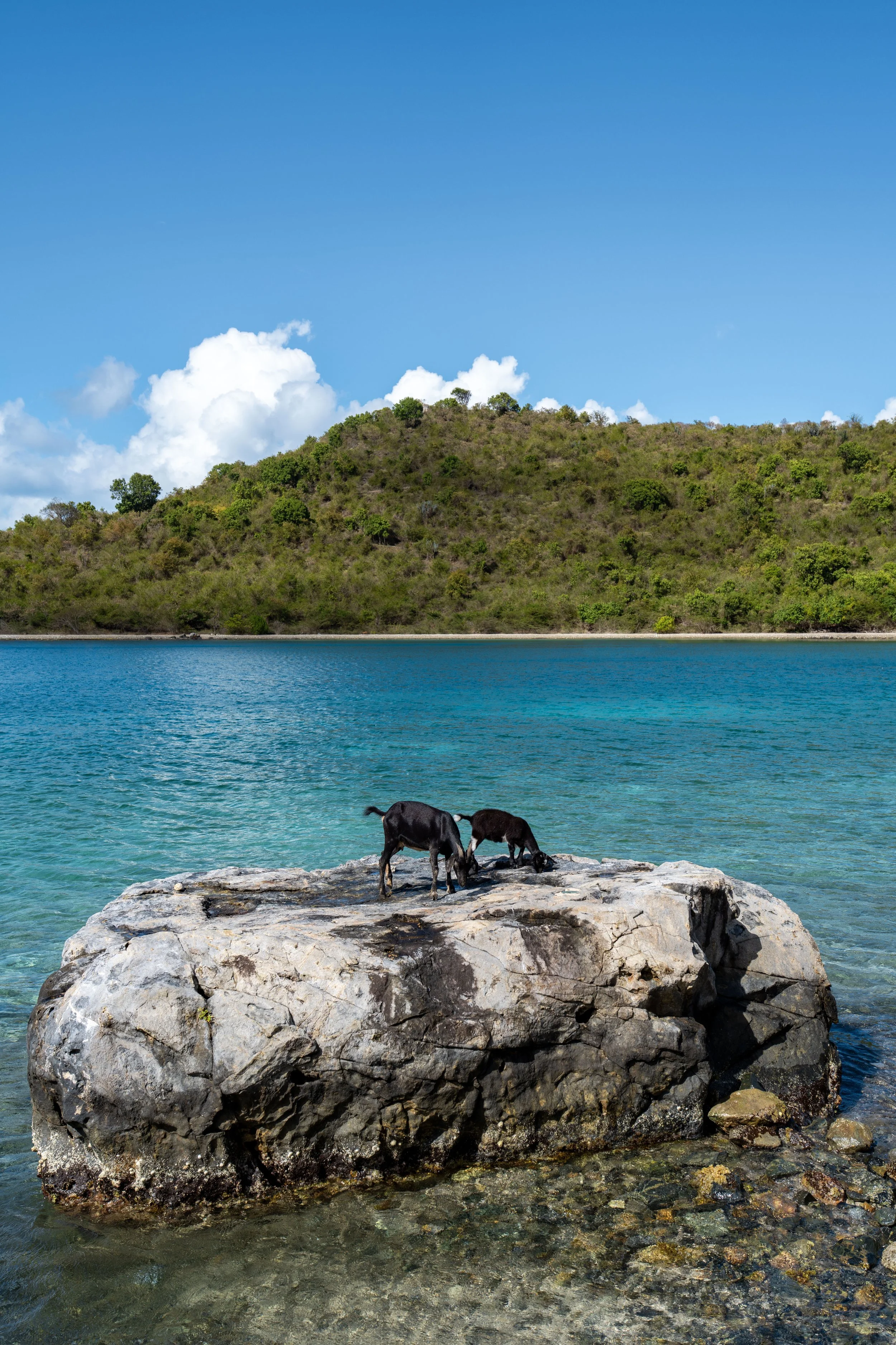
About 0.1 miles (0.2 km) past the Europa Point Trail, the Europa Bay Trail branches away toward the rocky beach that could be seen from Europa Point.
That said, go left to leave the Lameshur Bay Trail to reach the beach, or go straight to continue on the Lameshur Bay Trail toward Reef Bay and the Petroglyph Trail.
To skip past the Europa Bay Trail, click here.
Europa Bay Trail
Once again, I chose to go left to hike out toward Europa Bay.
This is where the Europa Bay Trail begins descending toward the beach.
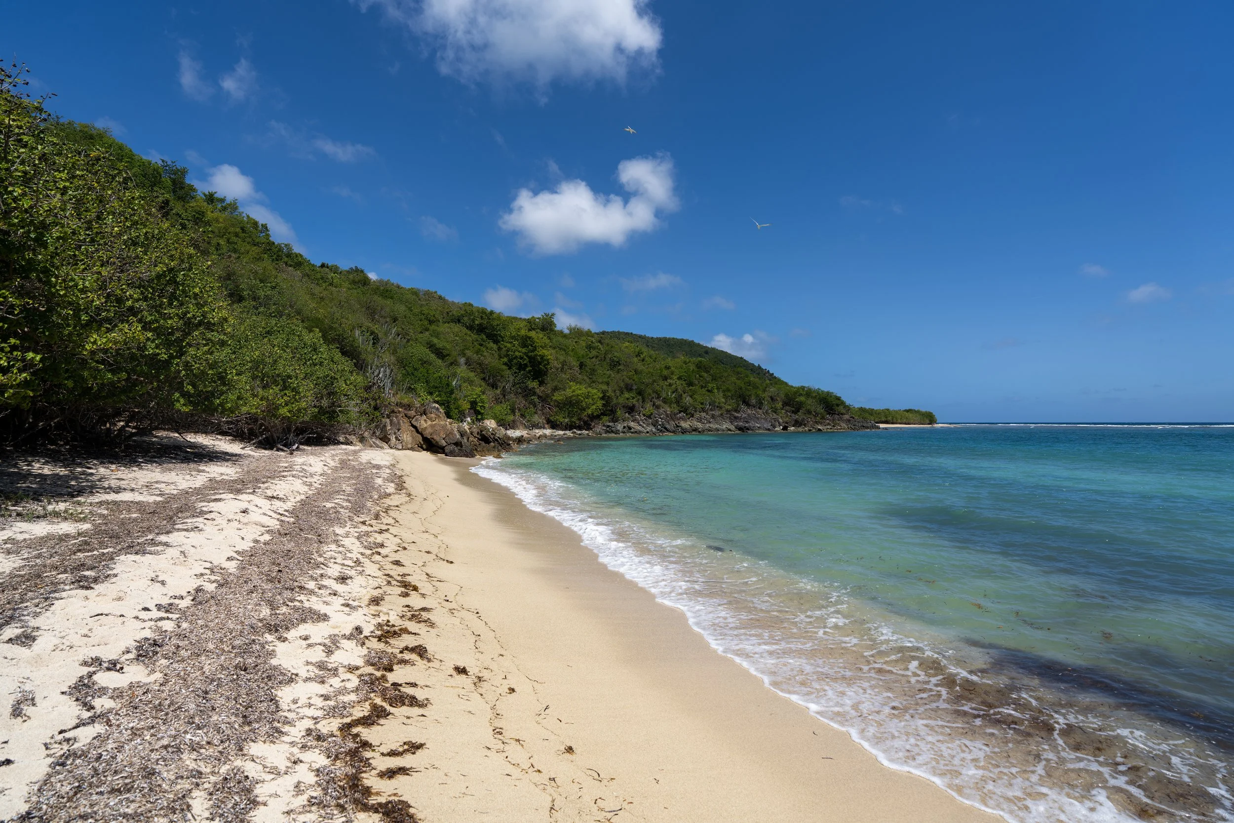
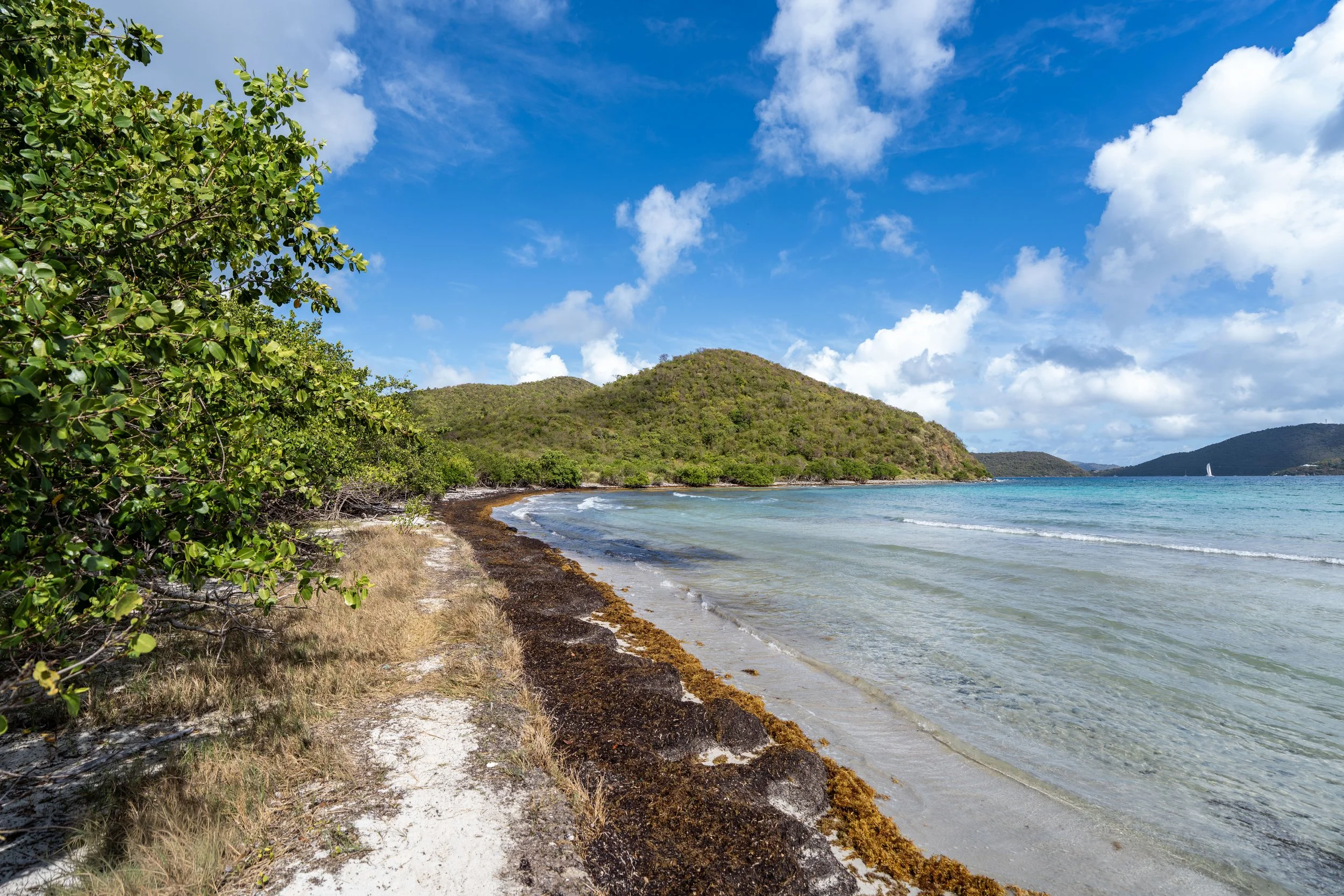
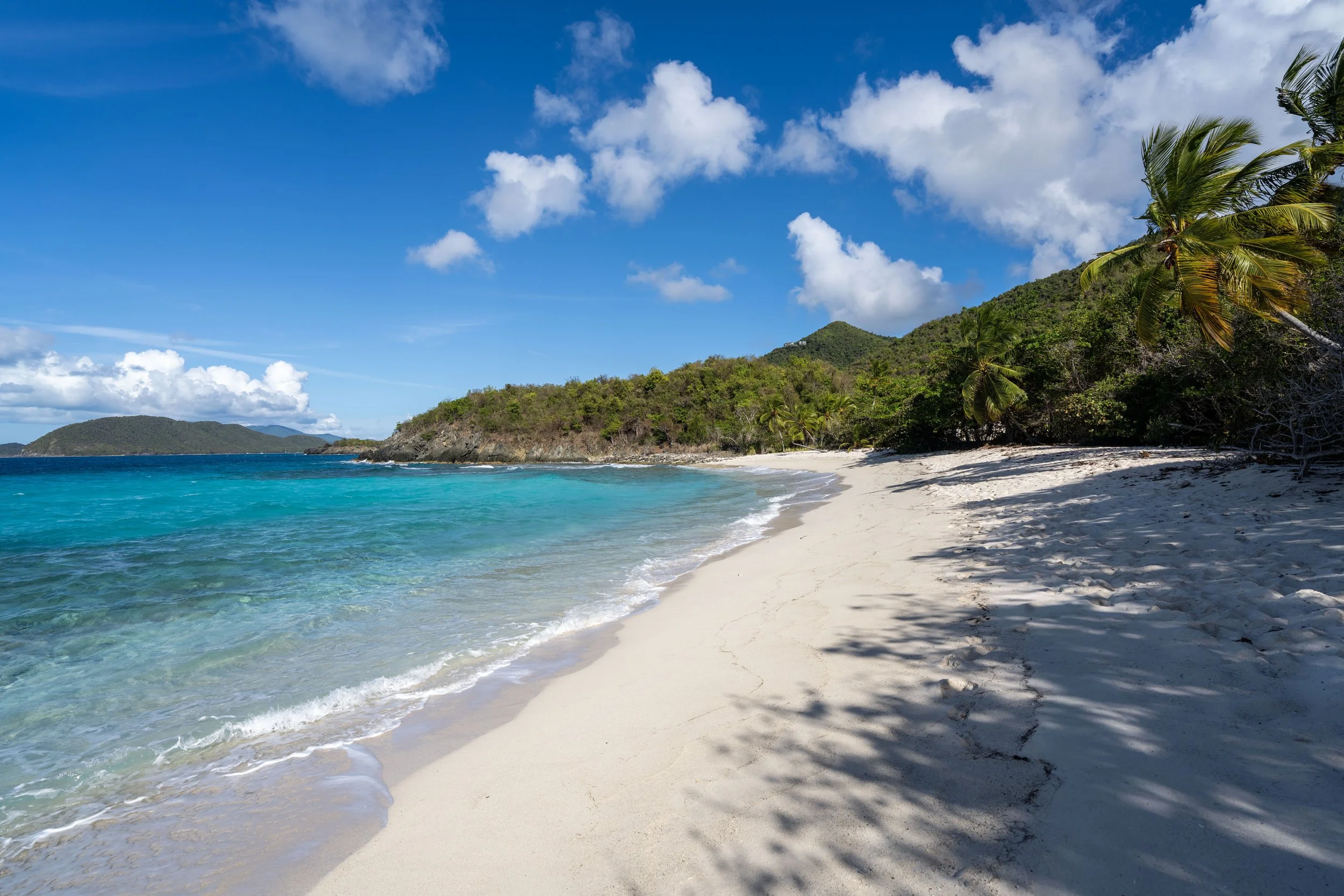
Europa Bay
This is the end of the short Europa Bay Trail, which looks back toward the end of the Europa Point Trail just to the east.
Lameshur Bay-Europa Bay Junction
After returning to the Lameshur Bay Trail, go left to continue hiking toward the Reef Bay Trail and everything thereafter.
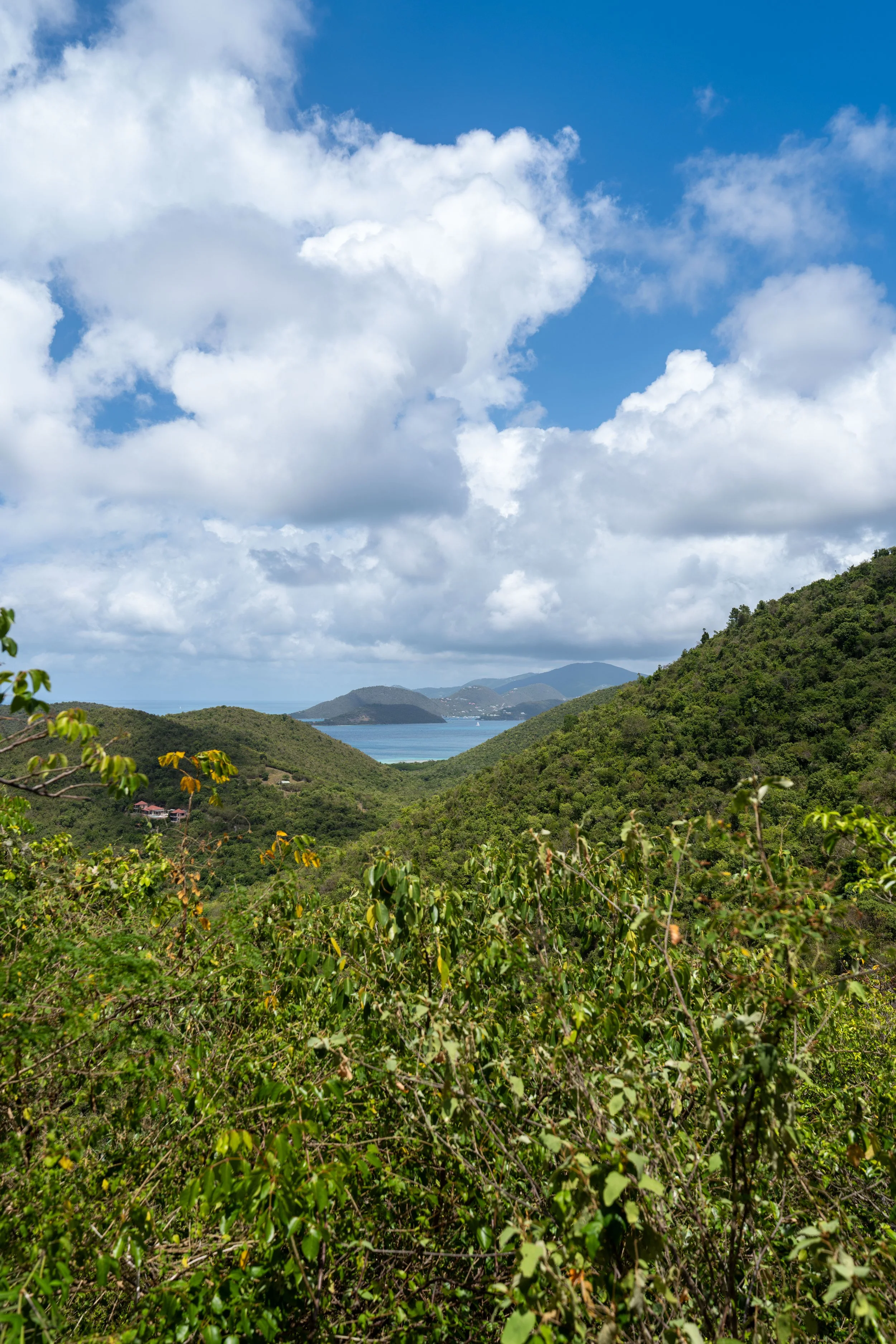
After the Europa Bay Trail, the Lameshur Bay Trail continues to climb as it passes up and over an unnamed ridge on the south side of Bordeaux Mountain.
This is the most significant elevation gain on the entire hike, which, in my opinion, is easier when hiking the Lameshur Bay Trail from east to west, as opposed to returning or hiking out after starting from the Reef Bay Trailhead off Centerline Road.
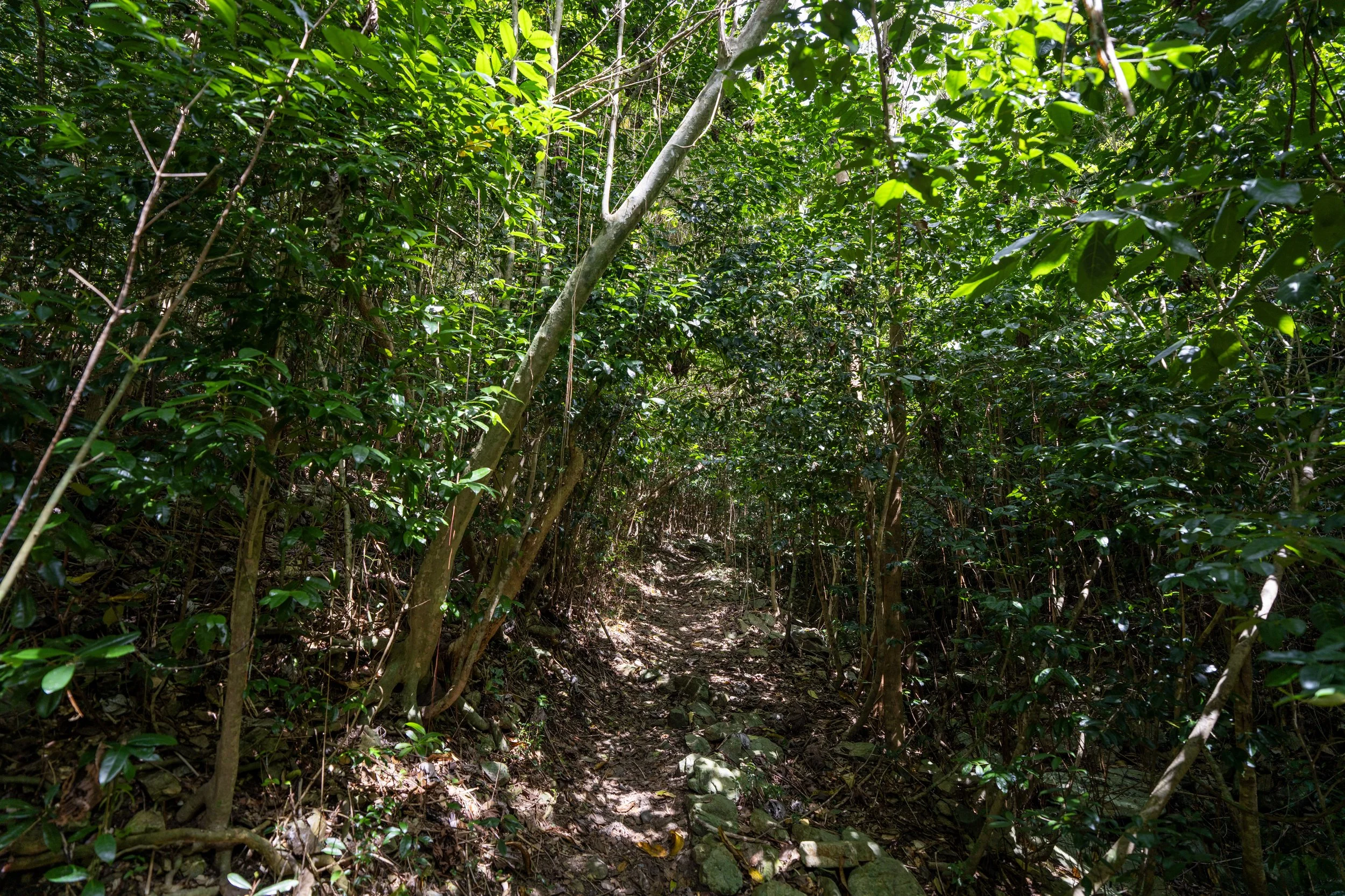
This is where the Lameshur Bay Trail levels out and begins the long descent toward the Reef Bay Great House Trail and the Reef Bay Trail a few steps after.
These palms are called Tyre Palms, and I think they are worth highlighting as they are endemic to the Virgin Islands and Puerto Rico!
This long descent to the Reef Bay Trail is the part of the hike that I think is more challenging than the uphill hike after Europa Bay—especially considering that it’s typically hotter when returning, whether beginning from Centerline Road or the Lameshur Bay Trailhead early in the morning.
That said, the Lameshur Bay Trail is nowhere near as steep as other adventures that begin off Centerline Road, like the L'Esperance Trail, but at the very least, it’s important to know that it’s certainly not flat, considering how hot and humid the weather typically is in Virgin Islands National Park!
These millipedes, locally called Gongolo, are very common in Virgin Islands National Park, but if you see one, do not handle it!
I say this because millipedes secrete noxious chemicals that can cause skin and eye irritation, potentially leading to small blisters or more severe symptoms, depending on where exposure occurs.
While it may seem crazy to hike in long sleeves in such a hot and humid environment, like Virgin Islands National Park, I cannot stress how important good sun protection is for long days outside!
This is why I strongly recommend traveling to the park with one or a few good sun shirts, regardless of whether you plan to spend more time hiking or more time at the beach.
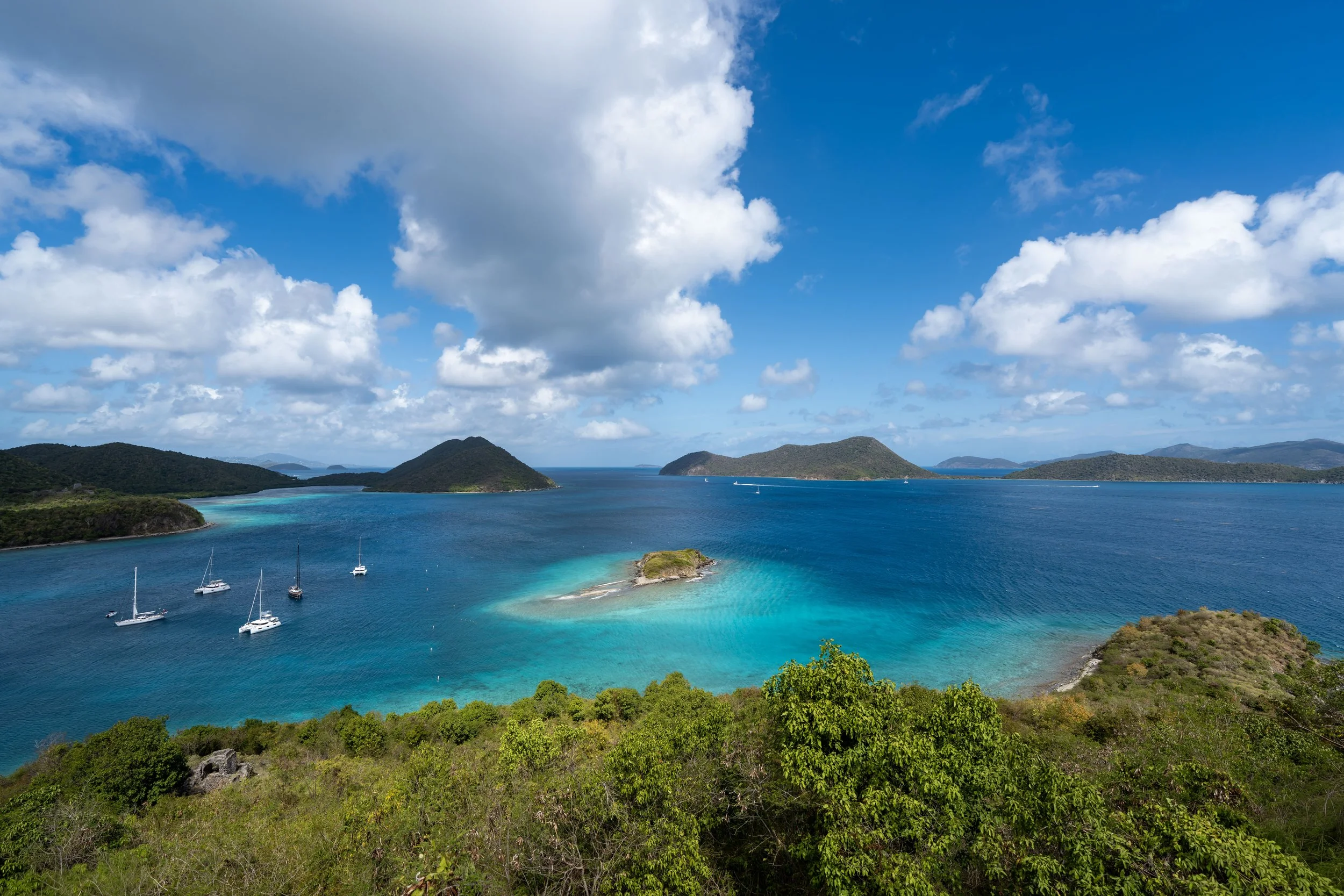
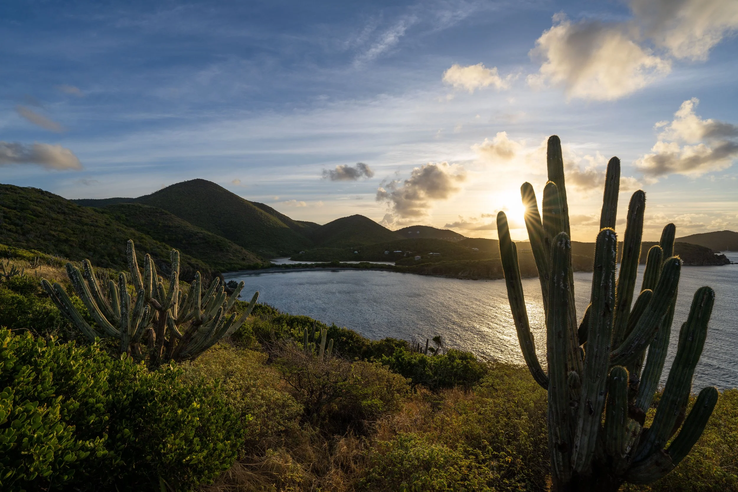
This is the view looking across Reef Bay Valley toward Camelberg Peak.
Lameshur Bay-Reef Bay Great House Junction
With just 0.1 miles (0.2 km) to go before the Reef Bay Trail, the Lameshur Bay Trail reaches the third and final side trail, this one leading up to the Reef Bay Great House.
That said, go left at this split to continue on the Lameshur Bay Trail toward Reef Bay, or go right to leave the main trail and hike up about 120 ft. (37 m) over 0.2 miles (0.3 km) to reach the historic house at the top.
To skip past the Reef Bay Great House Trail, click here.
Reef Bay Great House Trail
I chose to go right to hike up the third and final side trail to the Reef Bay Great House.
The Reef Bay Great House Trail climbs three somewhat steep switchbacks to reach the historic residence at the top of the hill.
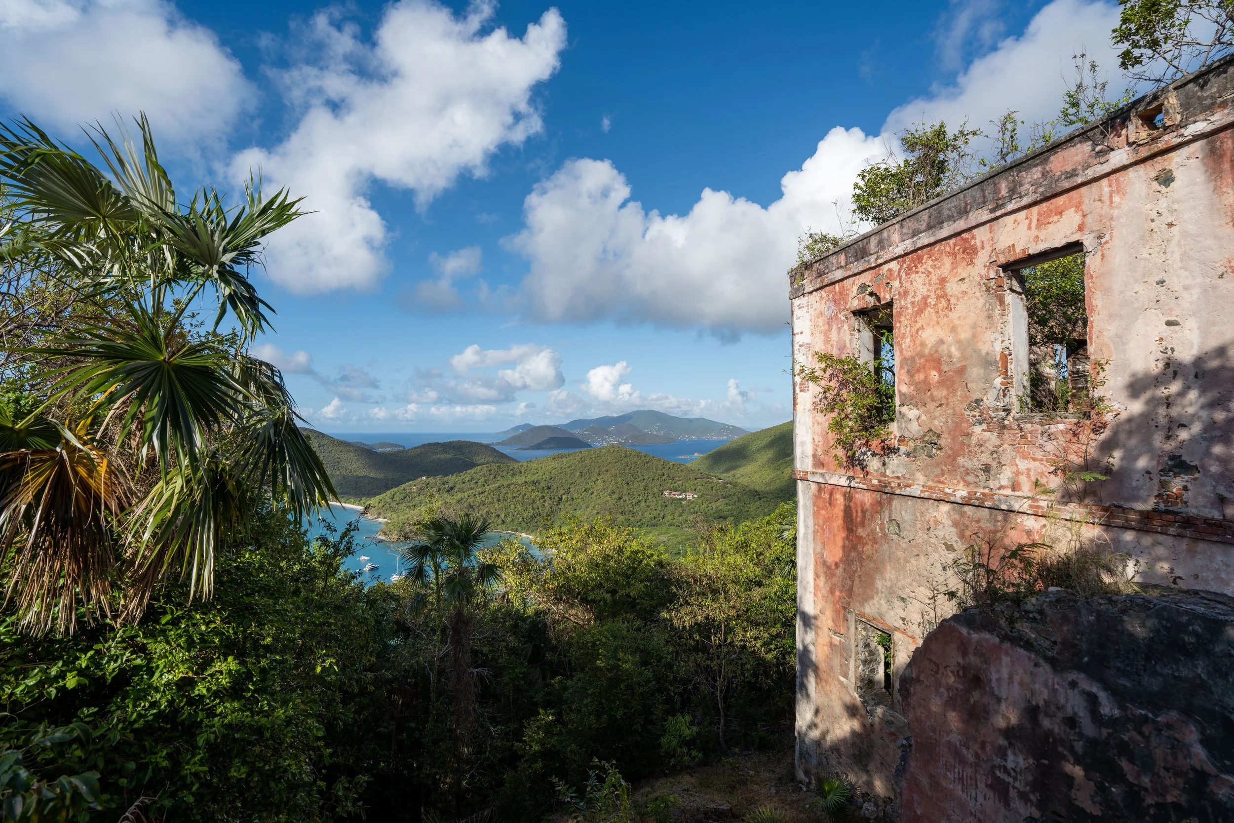
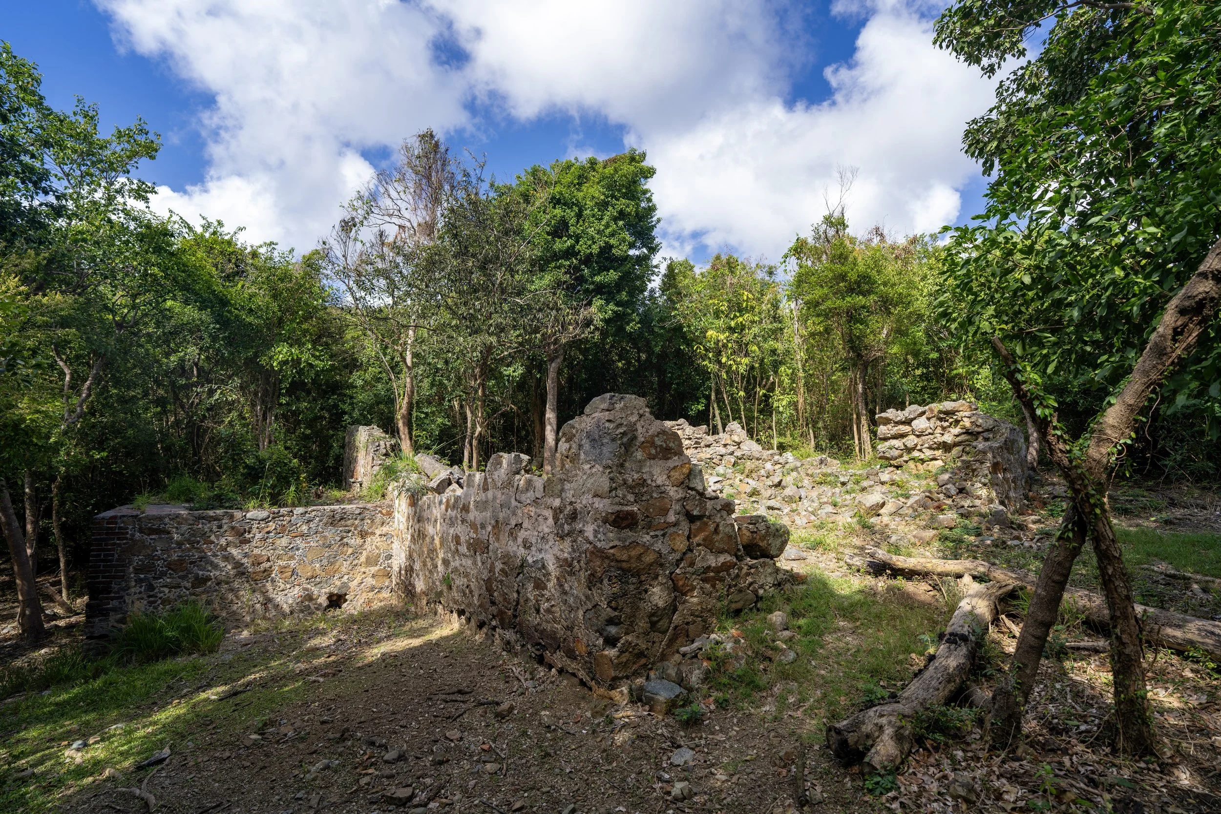
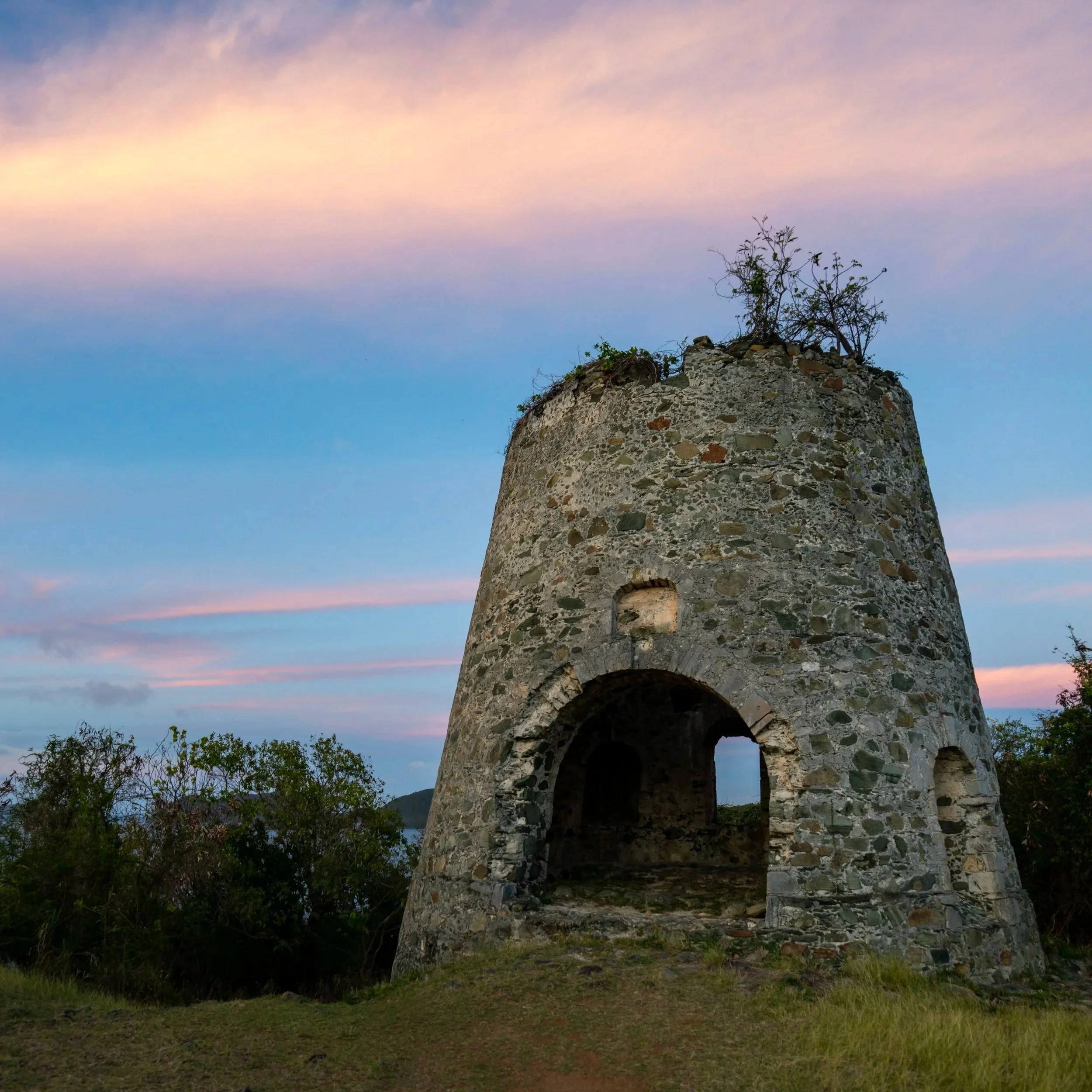
Reef Bay Great House
This is the Reef Bay Great House, which was once the main residence of the Reef Bay–Par Force sugar estate and dates to the early 19th century, one of many plantation-era residences built during Danish colonial rule on St. John.
The best viewpoint from the Reef Bay Great House is located around the right side of the historic structure.
This is the view looking south toward Reef Bay.
Lameshur Bay-Reef Bay Great House Junction
After hiking back down the Reef Bay Great House Trail, go right to continue on the Lameshur Bay Trail toward the Reef Bay Trail, about 0.1 miles (0.2 km) from this junction.
Lameshur Bay-Reef Bay Junction
This is the end of the Lameshur Bay Trail, and from this point, visitors typically go left to hike down to Reef Bay Beach or right toward the much closer Petroglyph Trail, just on the other side of the typically dry stream.
Read My Separate Post: Reef Bay Trail
Reef Bay Trail
This is the short walk over to the Petroglyph Trail.
Reef Bay-Petroglyph Junction
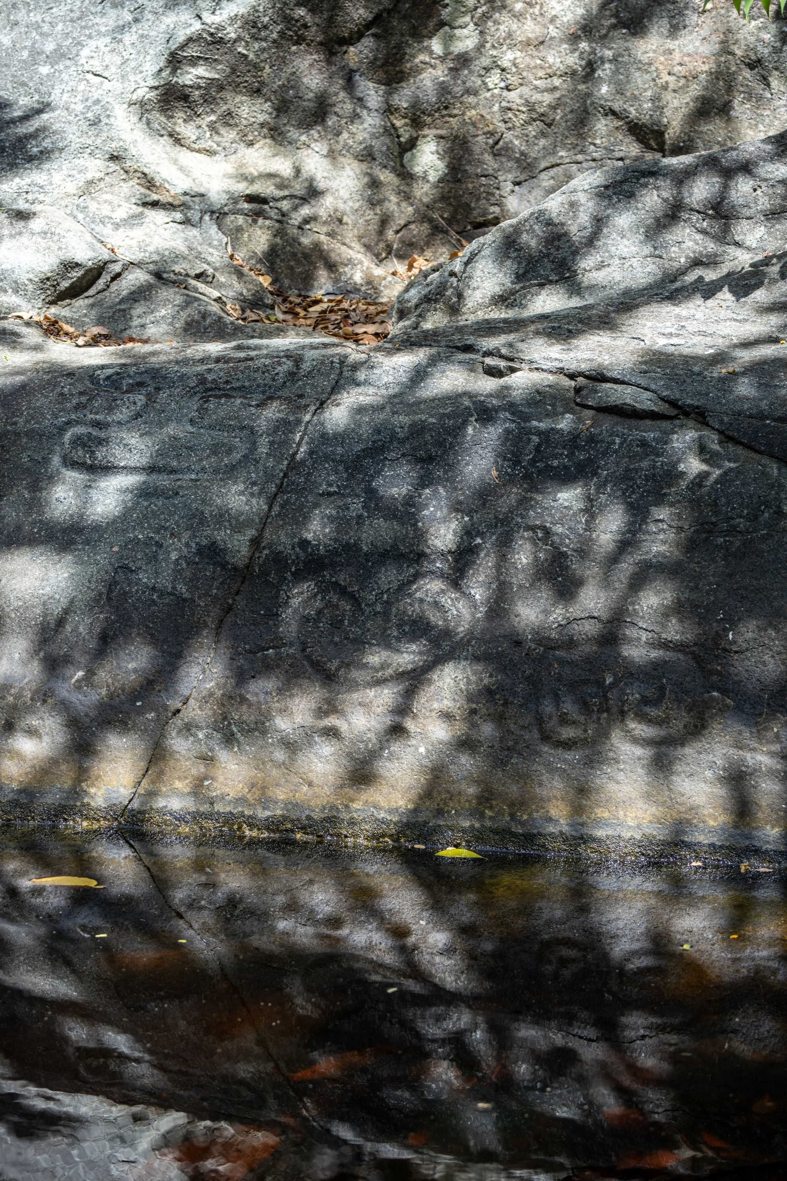
This is where the Reef Bay Trail meets the Petroglyph Trail, located roughly 1.5 miles (2.4 km) from the Reef Bay Trailhead off Centerline Road and 0.8 miles (1.3 km) from Reef Bay Beach at the end of the Reef Bay Trail.
To learn more, all the details can be found in my separate article linked below, including specific information on where to look for the petroglyphs once you reach the waterfall at the end of the trail!
Read My Separate Post: Petroglyph Trail