Hiking the Maria Hope Trail in Virgin Islands National Park
Distance (One Way): 0.8 miles / 1.3 km
Elevation Change: 660 ft. / 201 m
The Maria Hope Trail in Virgin Islands National Park is a seldom-trafficked trail compared to all the different day hikes across St. John, as the vast majority of those who begin the trail off Centerline Road are simply there as part of a cross-island adventure beginning from the Lameshur Bay Trail on the south side of the island.
Yes, this is much more common and practical than it may initially seem, as the total one-way distance from the Lameshur Bay Trailhead to the Lower Maria Hope Trailhead is only 3.8 miles (6.1 km). This is why the Maria Hope Trail, in combination with both the Lameshur Bay Trail and the Reef Bay Trail, is a great option for a one-way day hike if everyone in your group isn’t interested in such a 'long' adventure, as those who aren’t can simply hang out at Maho Bay on the North Shore while you hike!
This is all to say that the Maria Hope Trail is a fairly easy, all-downhill hike when a pick-up is planned after getting dropped off at Centerline Road. However, if hiking out and back is something you’re more interested in, the 1.6-mile (2.6 km) roundtrip distance is fairly easy and straightforward when starting from either trailhead.
Maria Hope Trailhead Parking
Parking for the Maria Hope Trailhead is located at either the joint Reef Bay–Maria Hope Trailhead at mile marker five, directly off Centerline Road, or near the hairpin turn just above Maho Bay Beach, off North Shore Road.
In either case, there are a few roadside parking spots that serve both trailheads. This is why I think it’s important to highlight the need to be careful when beginning or ending the hike, as blind turns from both directions make this stretch of Centerline Road and North Shore Road particularly dangerous, considering how fast local traffic moves on St. John.
Google Maps Directions: Upper Maria Hope Trailhead / Lower Maria Hope Trailhead
Hiking Checklist - Virgin Islands
Here is a complete list of must-have things that you will want for any hike in Virgin Islands National Park.
Hiking the Maria Hope Trail
Upper Maria Hope Trailhead
The Maria Hope Trail is commonly hiked from the Upper Trailhead to the Lower Trailhead—or Centerline Road to Maho Beach—which is exactly the direction this article is written.
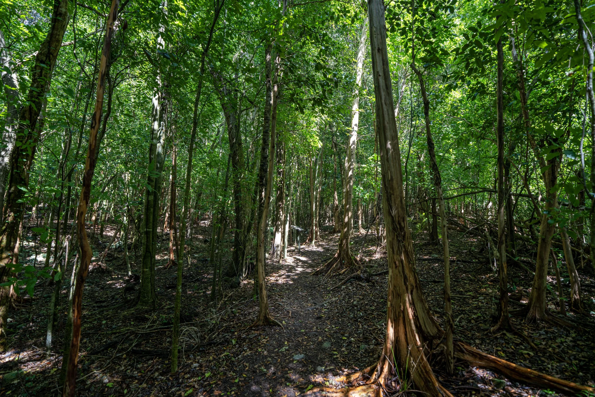
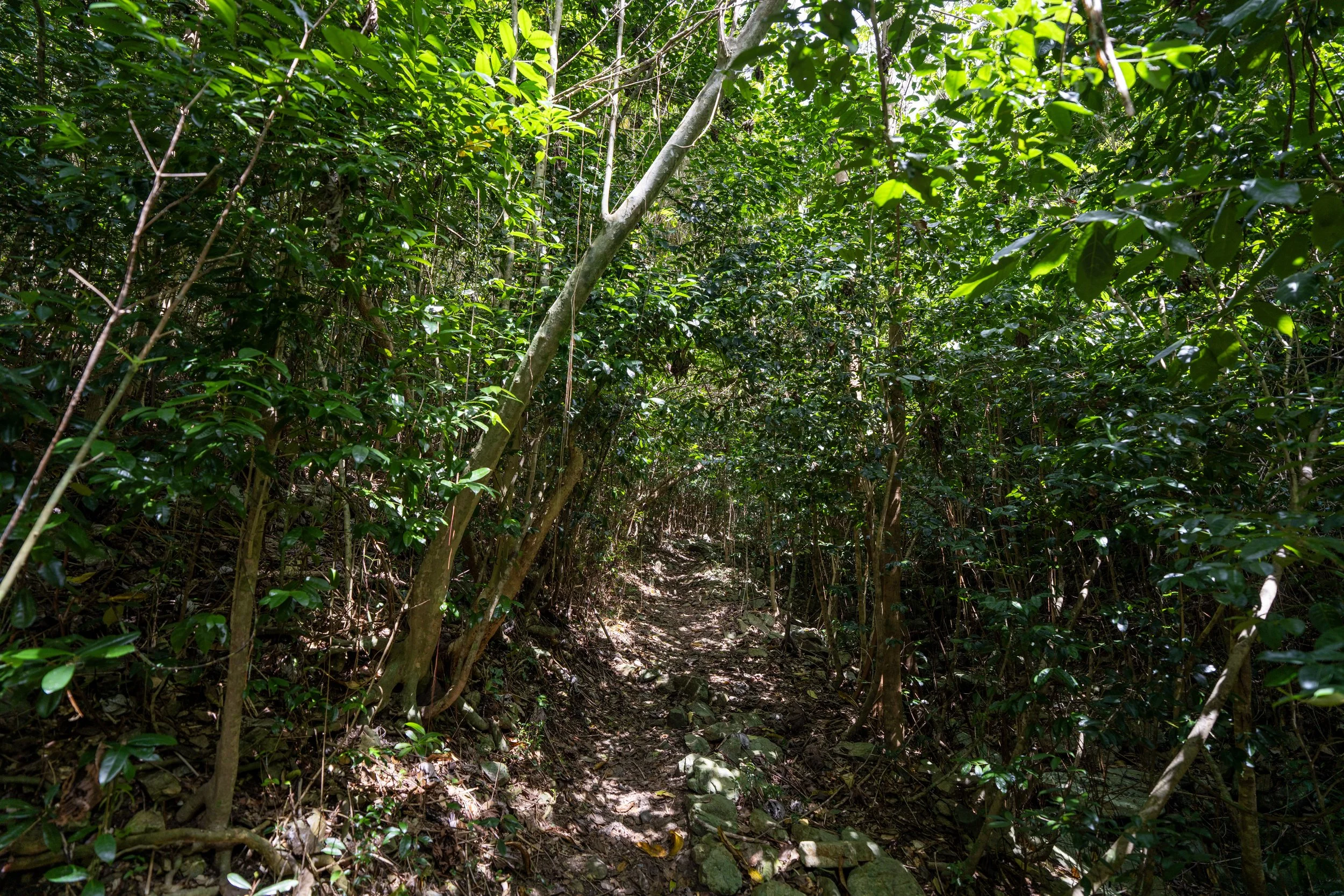
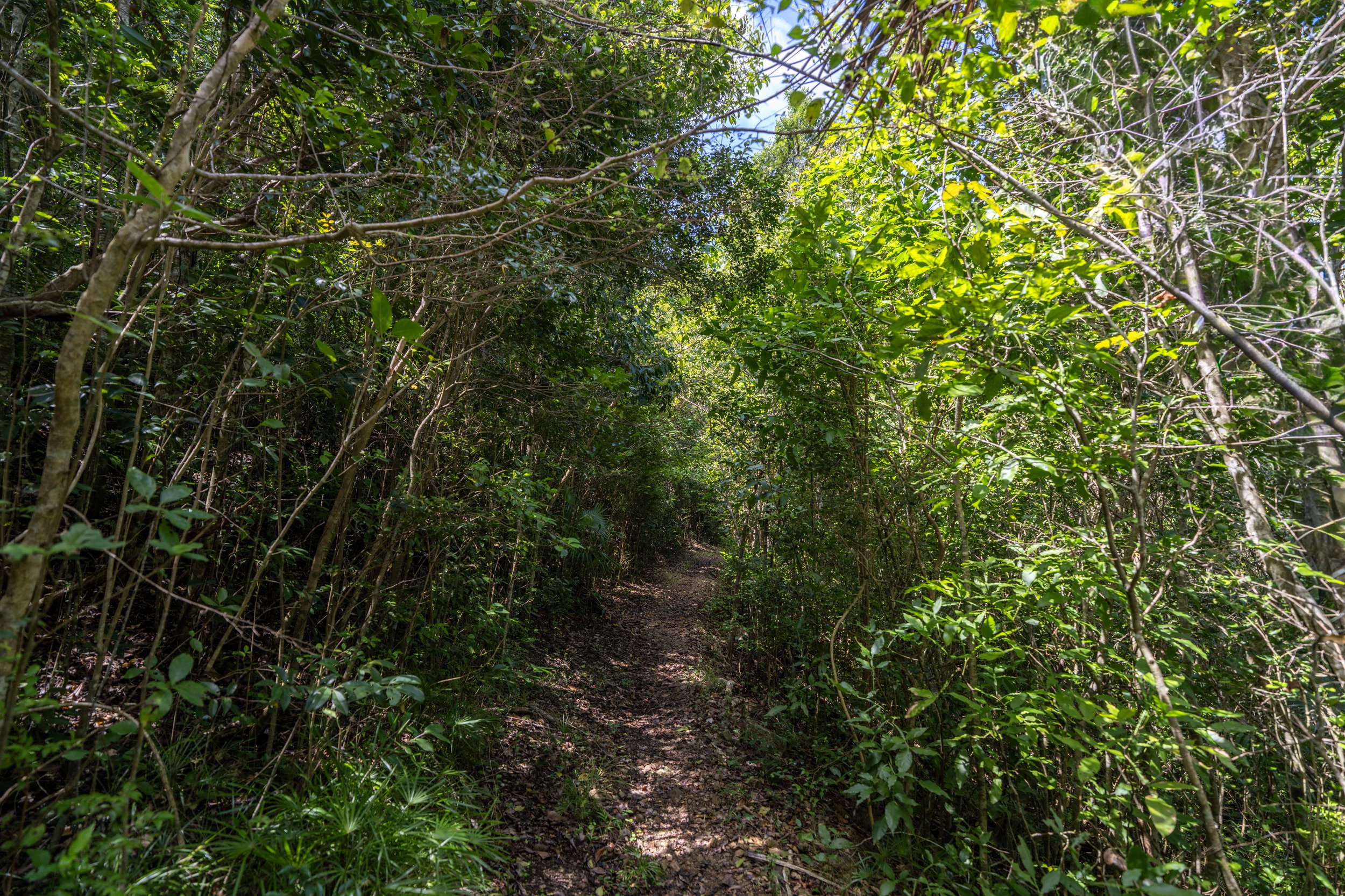
Similar to the Reef Bay Trail on the other side of Centerline Road, the Maria Hope Trail drops steeply below the road before leveling out and following a more gradual downhill path for the rest of the hike to North Shore Road.
This tree is Bay Rum, and it’s one of the most common native and popular trees in Virgin Islands National Park, as it’s known for its natural scent used commercially in fragrances, soaps, colognes, and aftershave products.
To know for sure if you’ve positively identified Bay Rum, tear one of the leaves and smell it! There’s no mistaking its strong scent—and this is coming from someone who can smell almost nothing!
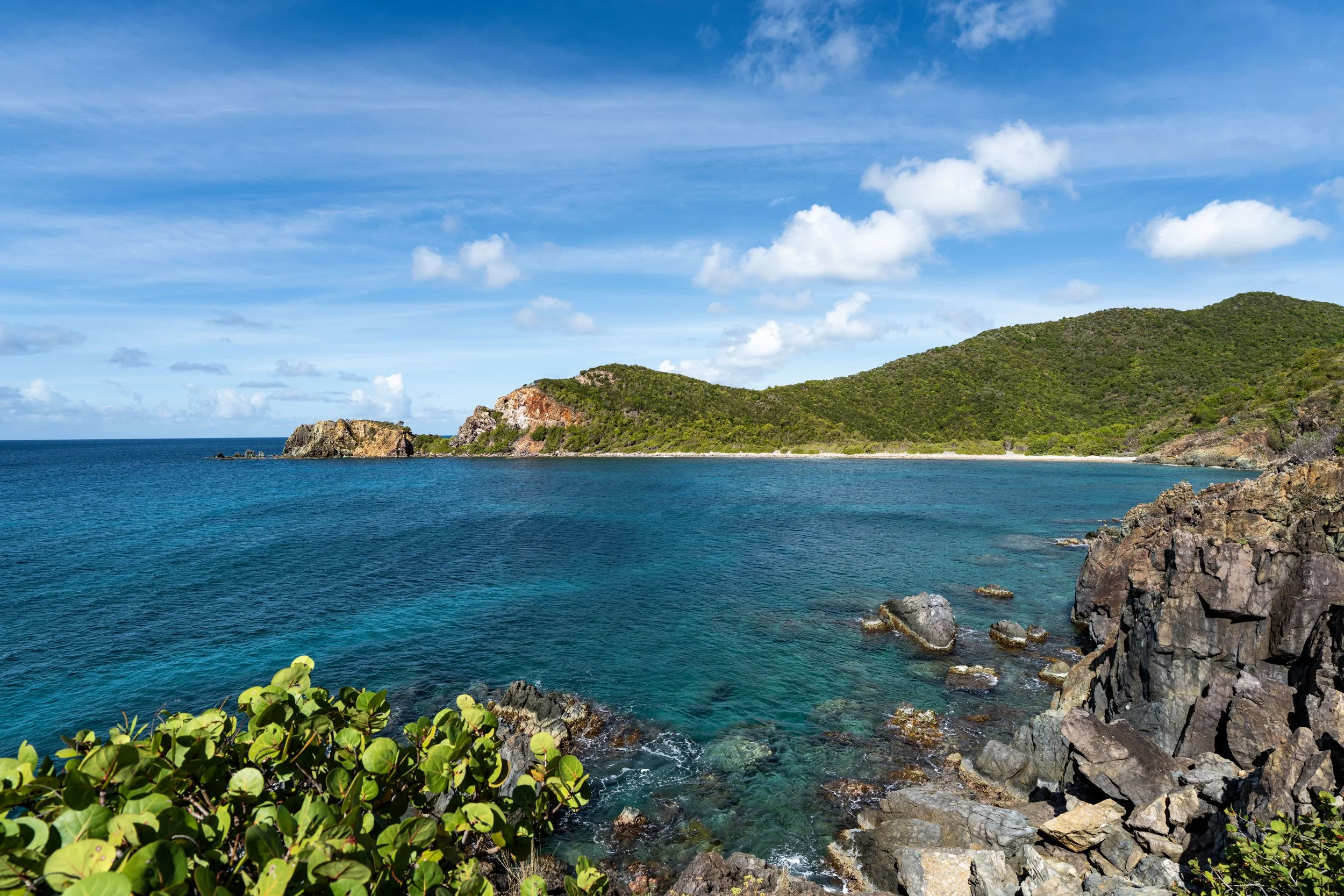
After the steep initial descent, the majority of the hike to North Shore Road looks like this, with one main viewpoint and a few smaller views through the dense overstory forest.
Since the Maria Hope Trail is such a constant downhill or uphill hike, depending on direction, some hikers may want to use trekking poles—something that can certainly be useful for all the steep day hikes across Virgin Islands National Park.
What is the Maria Hope Trail Named After?
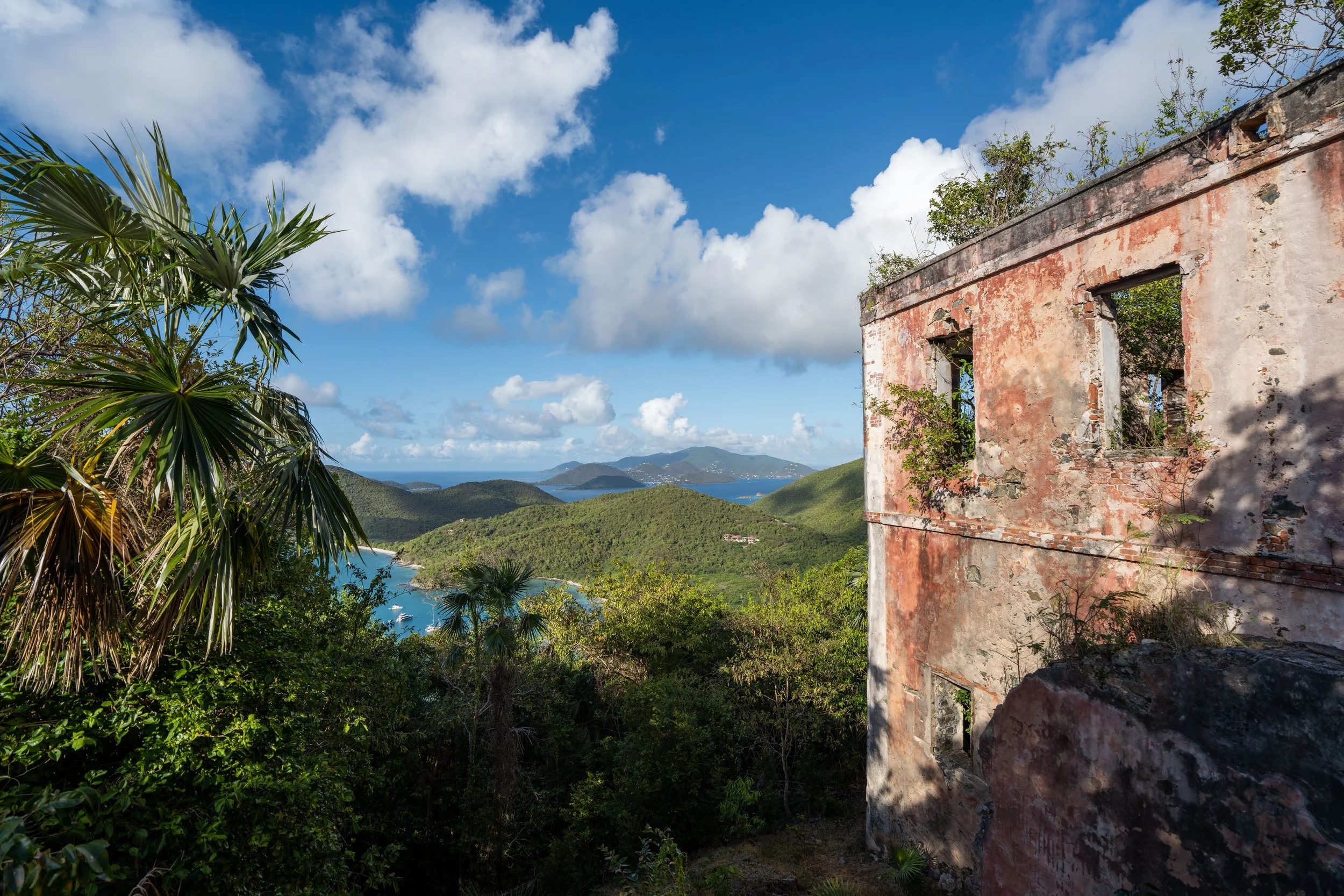
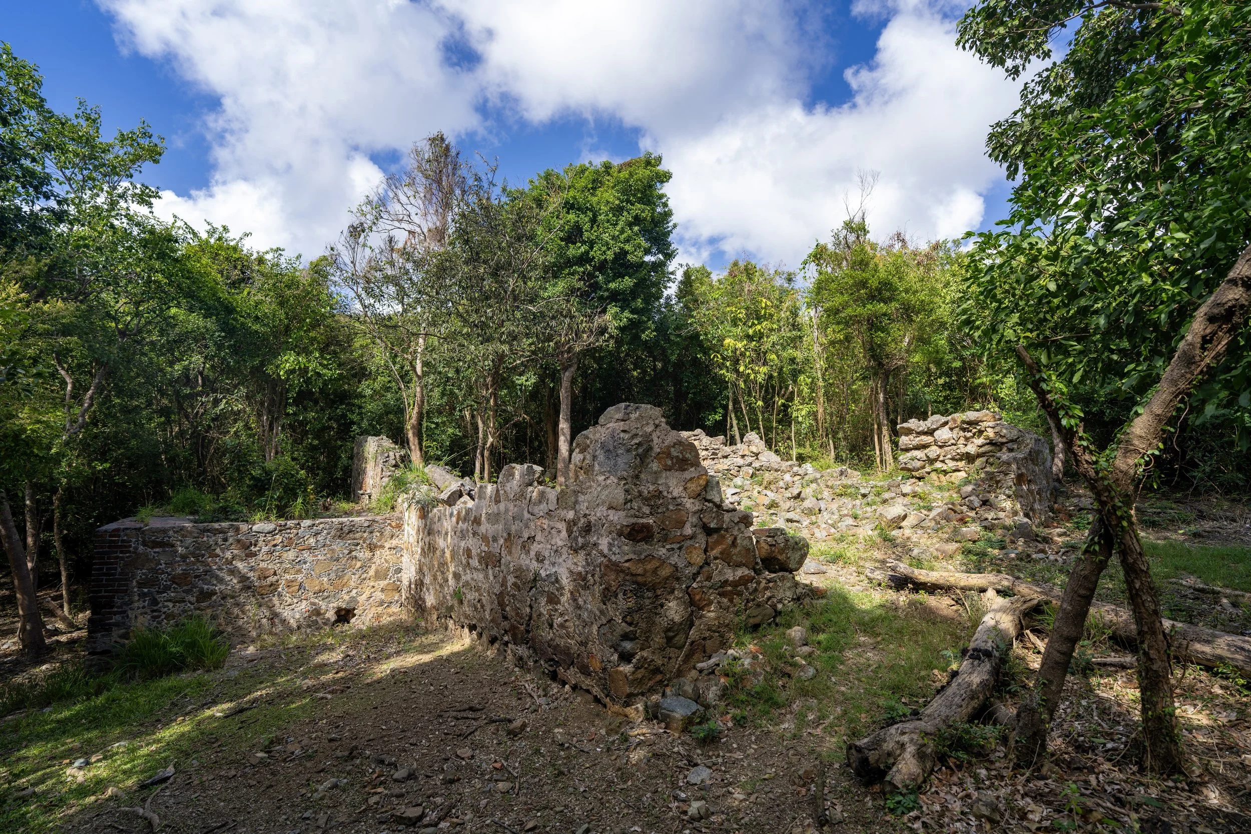
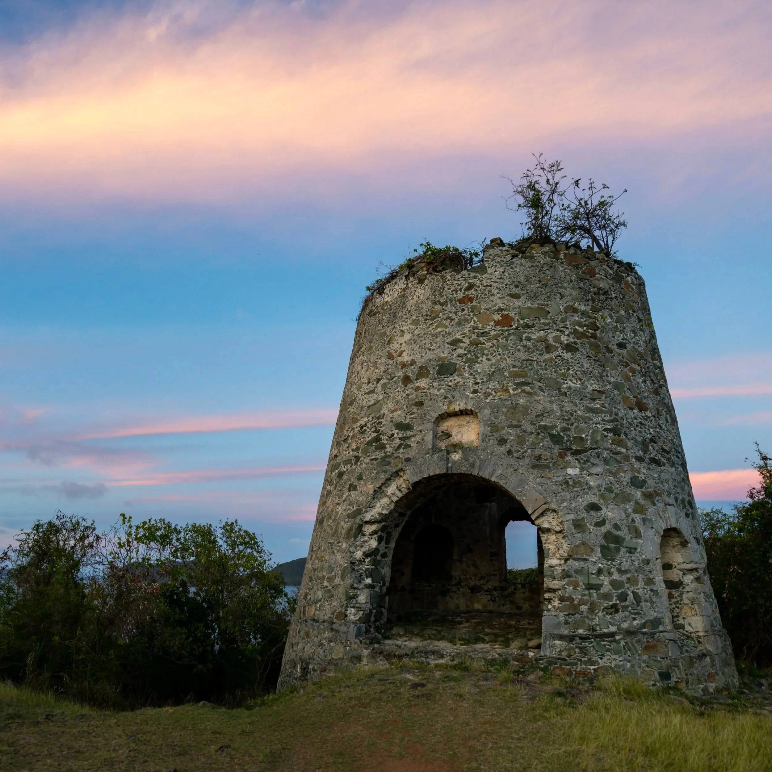
The Maria Hope Trail is named after the historic Maria Hope Road, which itself takes its name from the nearby plantation-era estate called Maria Hope—an estate on St. John established during the Danish colonial period by Lucas van Beverhoudt, though the exact reason behind the name 'Maria Hope' is not widely documented.
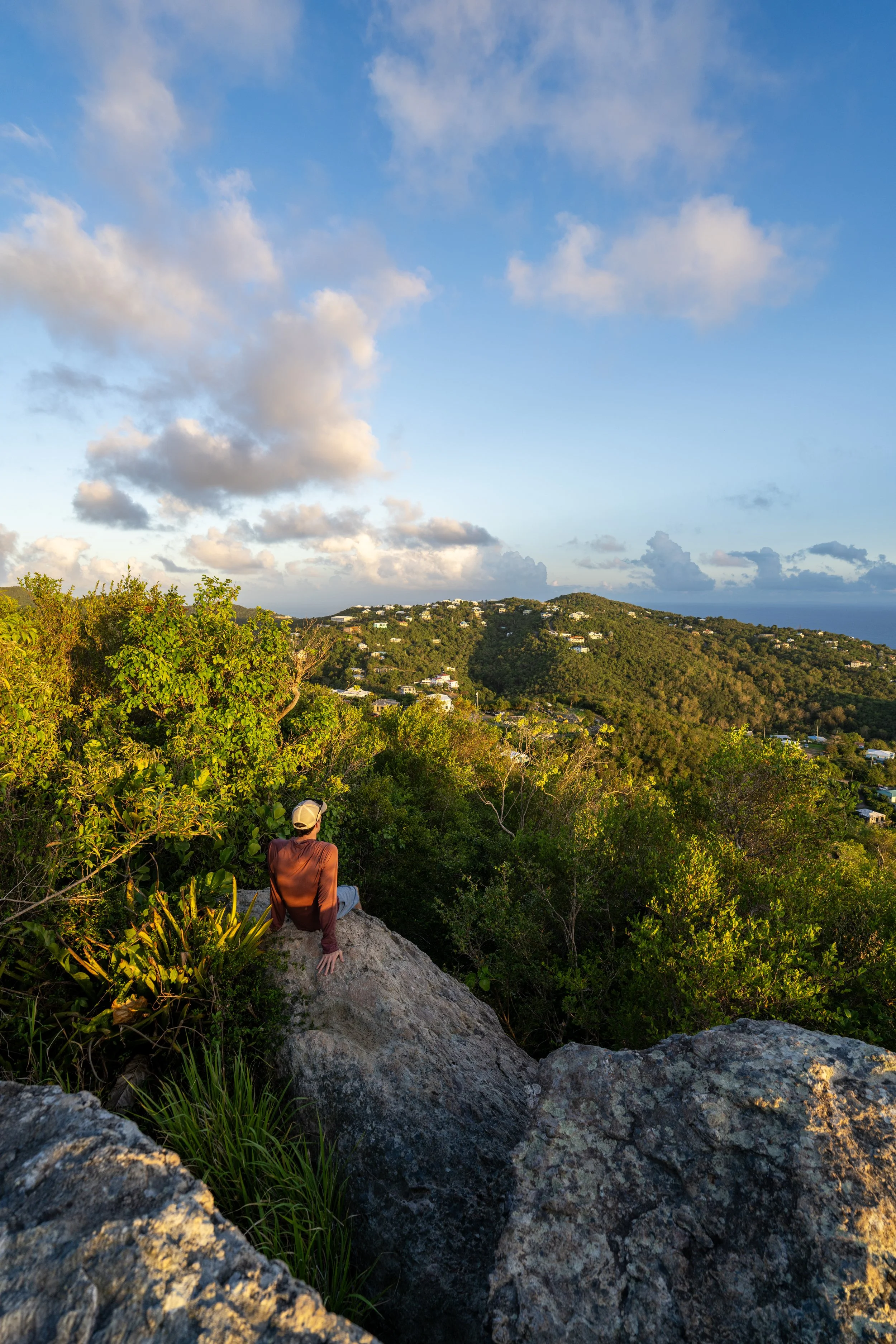
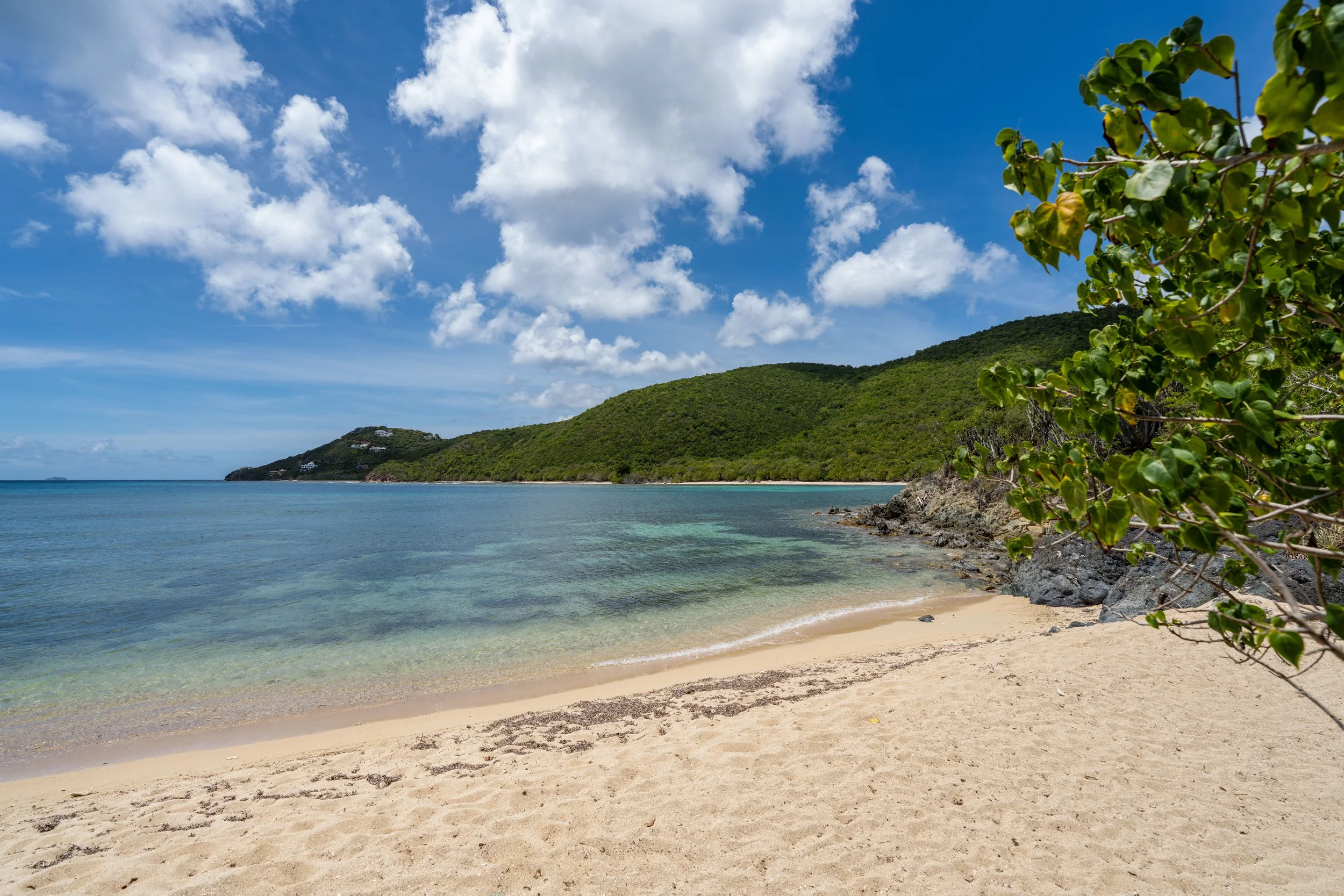
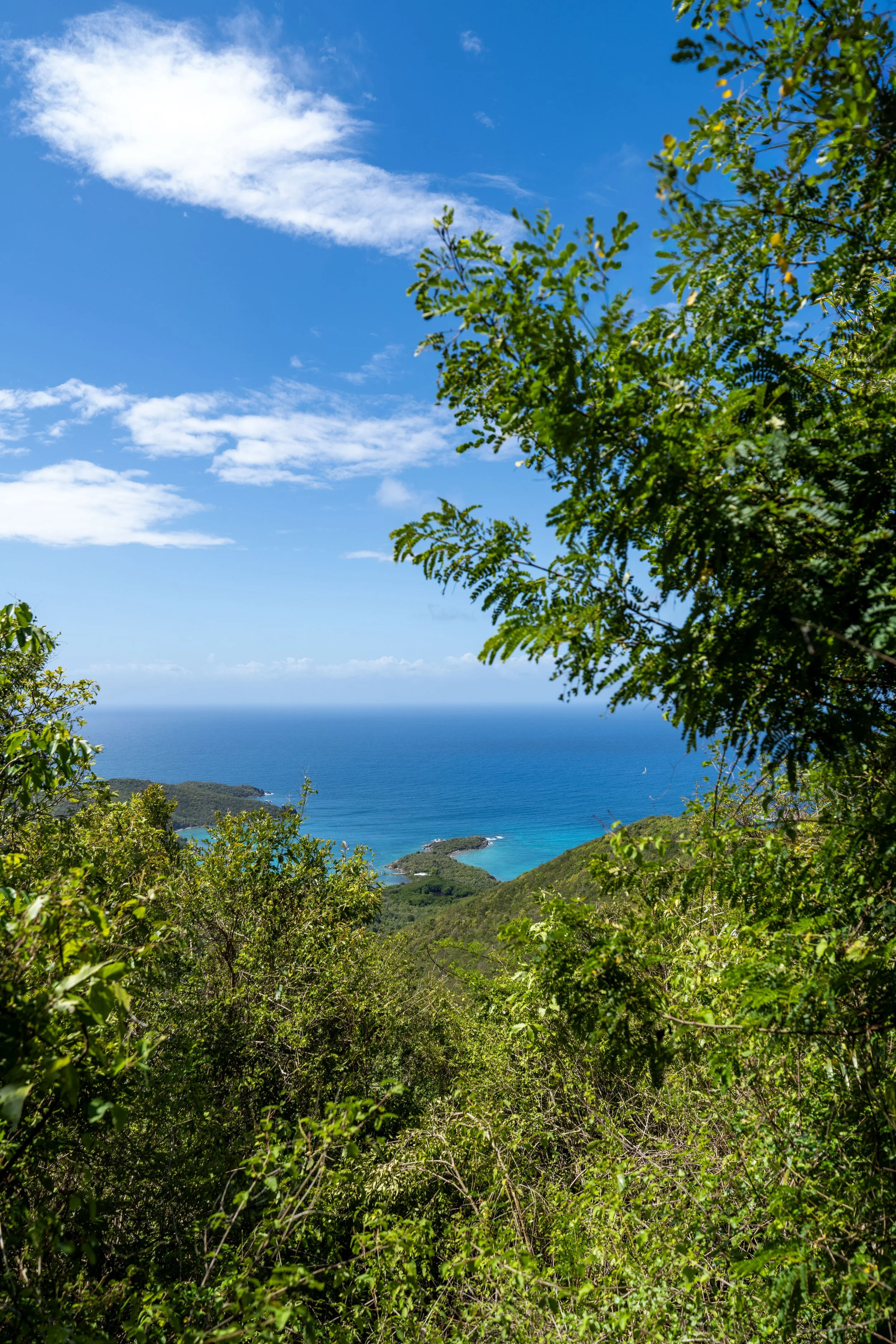
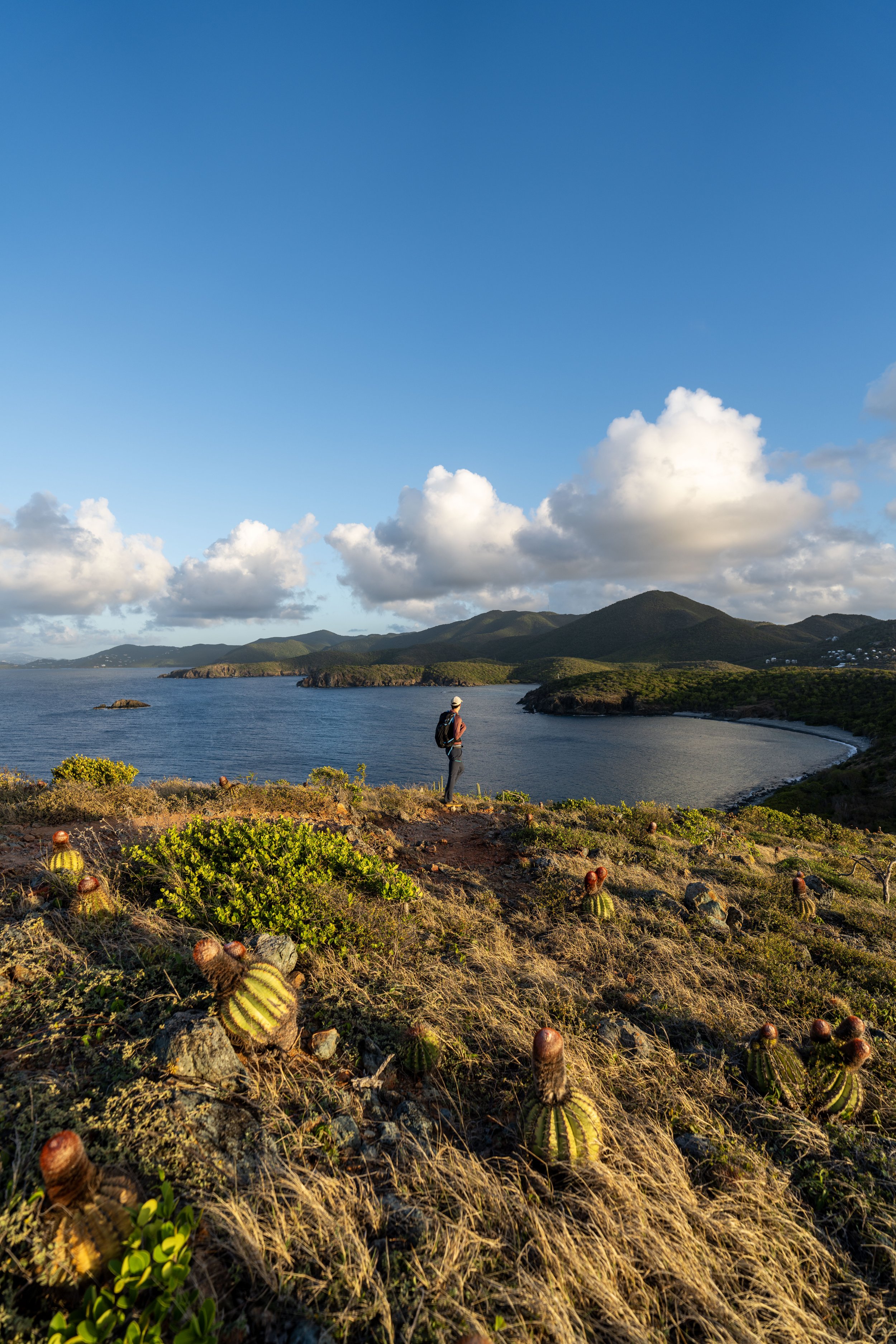
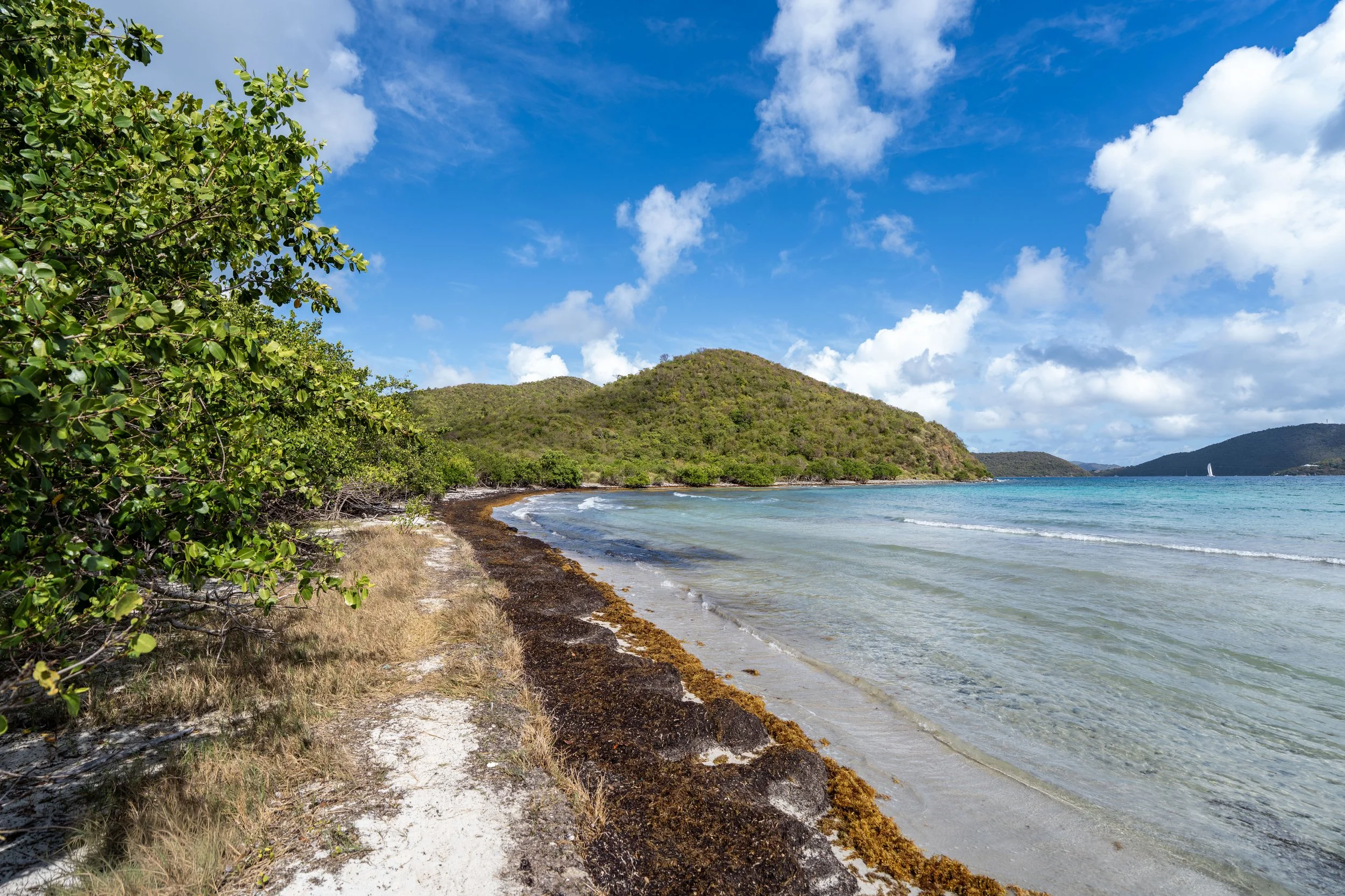
This is the first of a few north-facing viewpoints on the Maria Hope Trail.
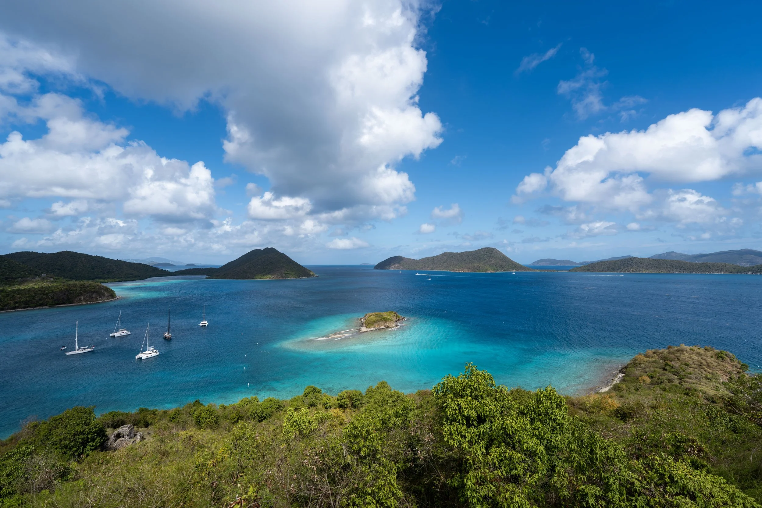
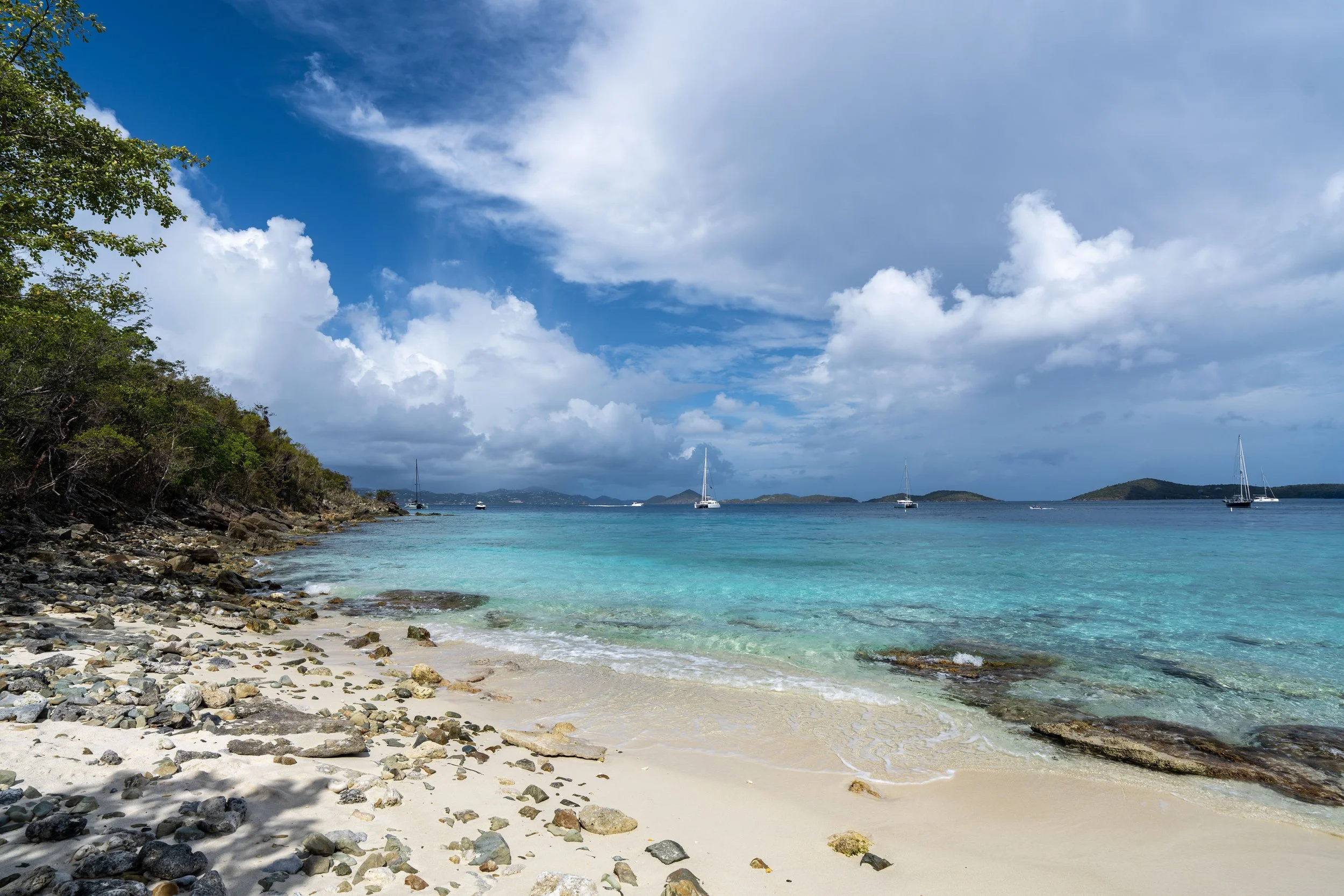
This second overlook is the most panoramic viewpoint above Maho Bay!
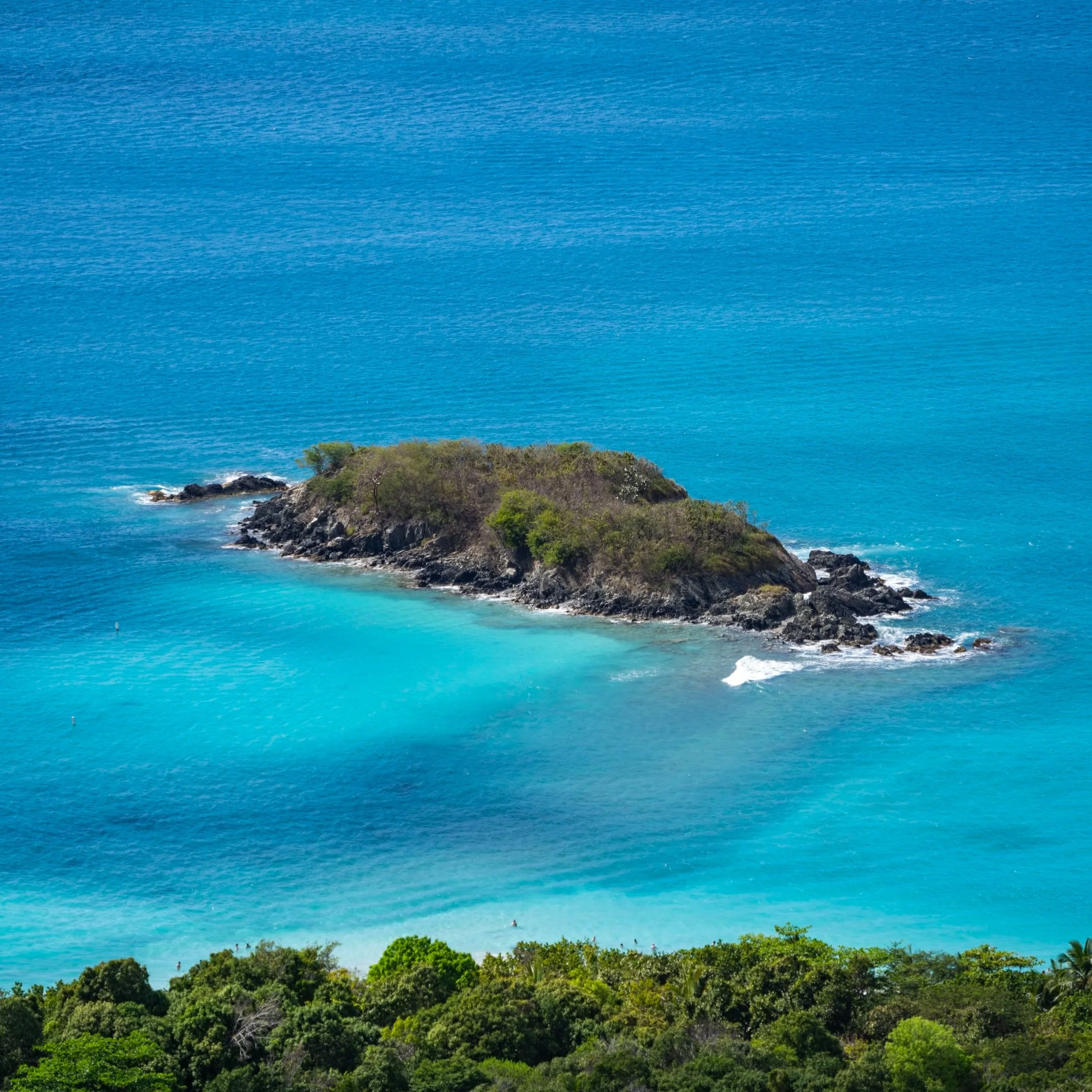
This final view through the trees looks directly down toward Maho Bay Beach.
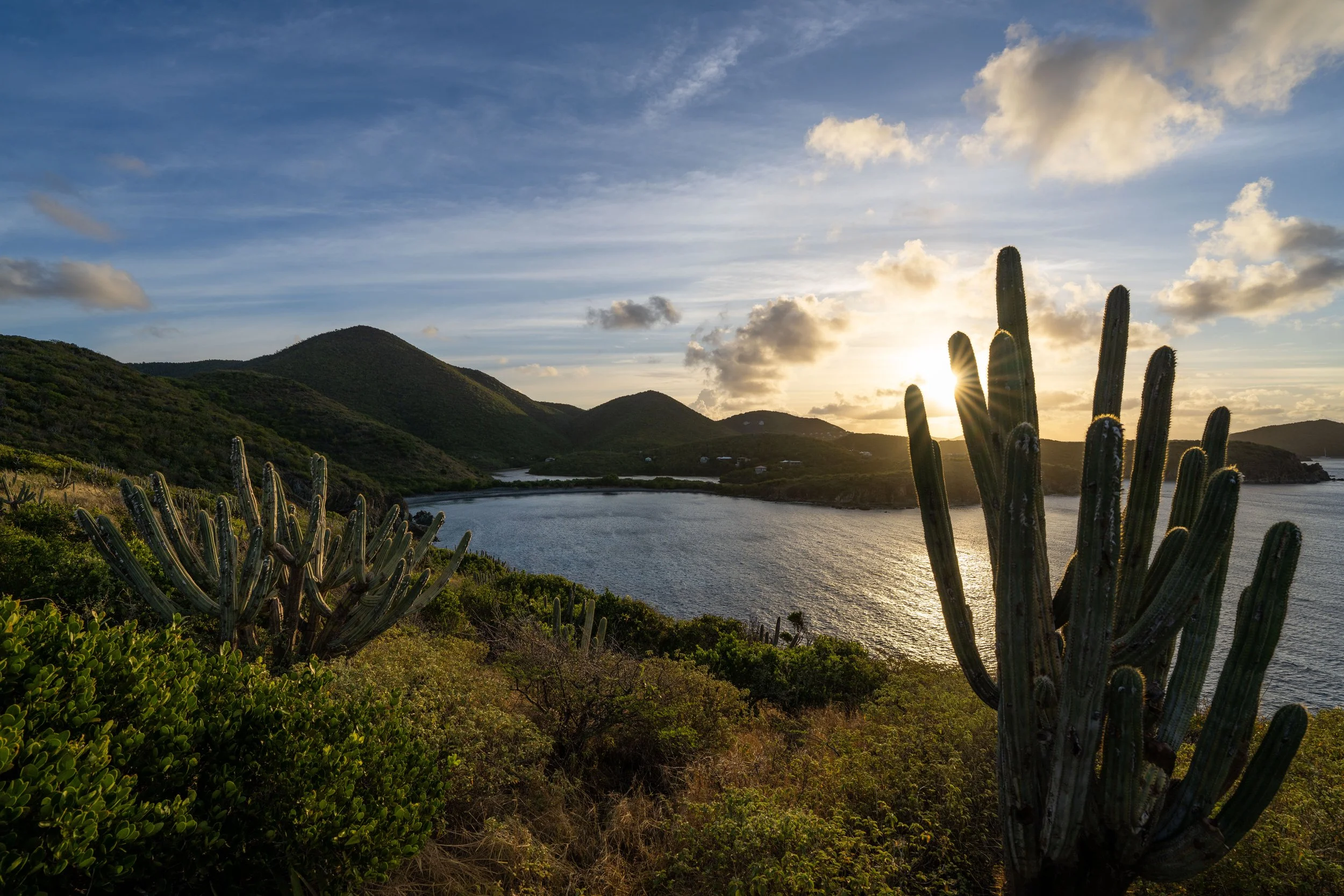
If you began hiking the Lameshur Bay Trail on the south side of Virgin Islands National Park, this view is a nice sign that the 3.8-mile (6.1 km) hike is almost over!
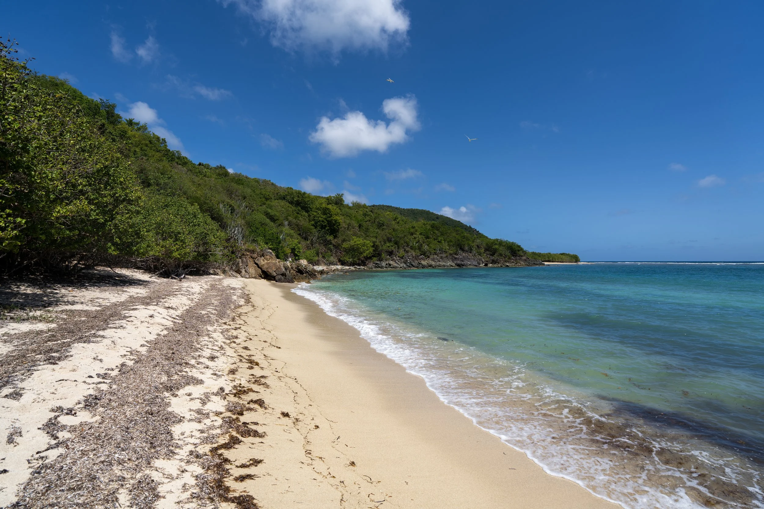
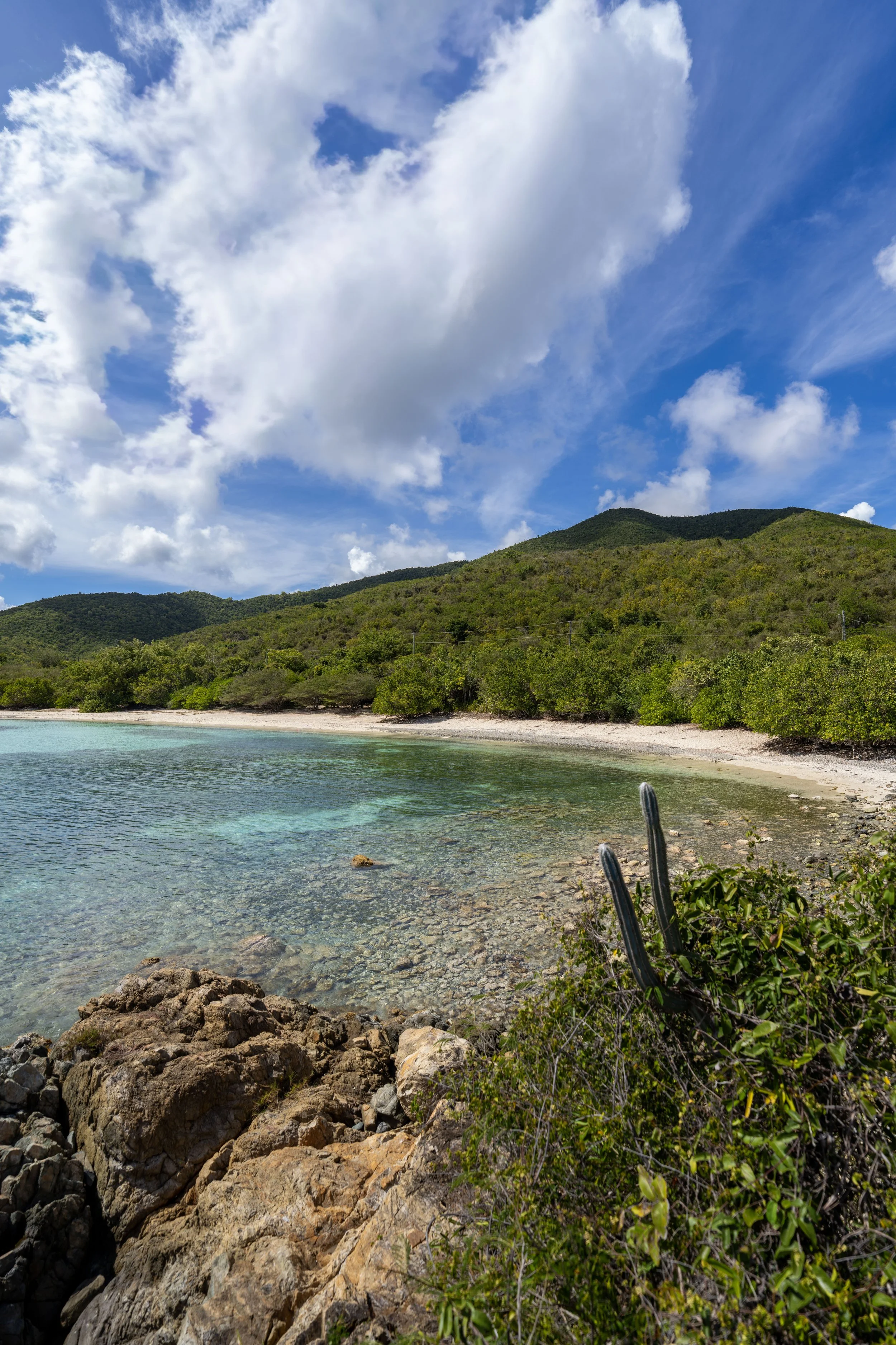
When the Maria Hope Trail crosses over this typically dry creek, the Lower Maria Hope Trailhead and North Shore Road are only 0.1 miles (0.2 km) away!
This hard right turn is the sharp turn that can be seen on a map of the trail just above North Shore Road.
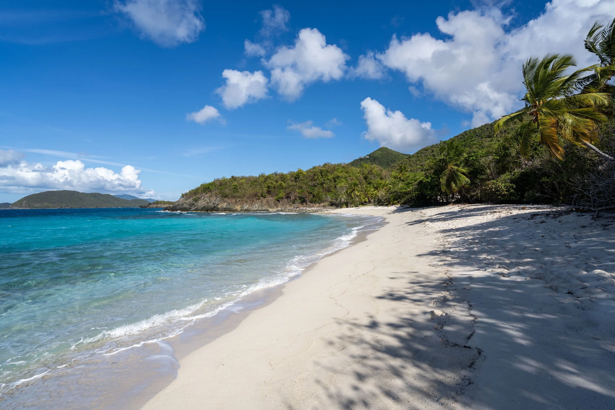
Lower Maria Hope Trailhead
After 0.8 miles (1.3 km), or 3.8 miles (6.1 km) from the Lameshur Trailhead, the Maria Hope Trail finally reaches North Shore Road!
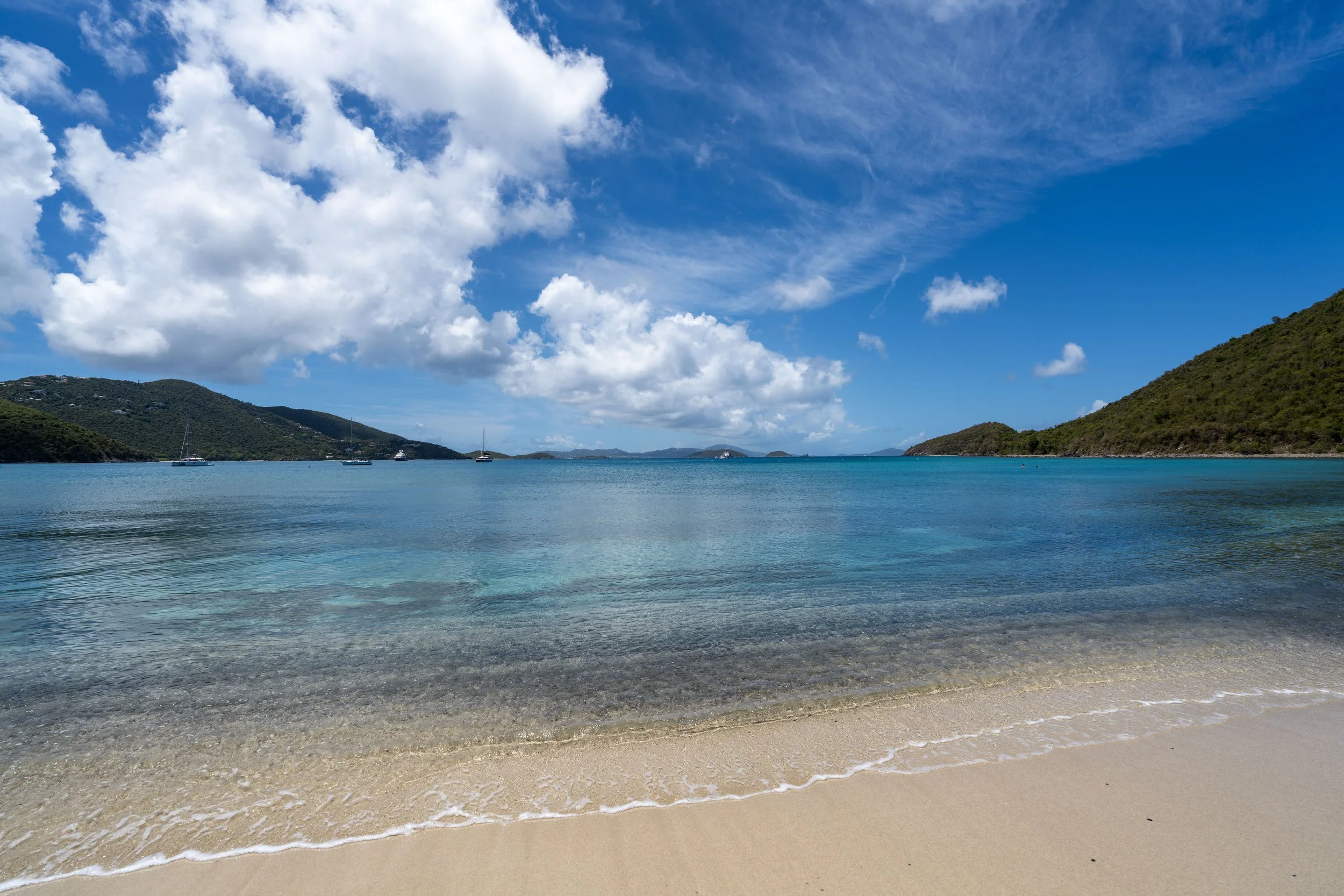
That said, hikers can either go right to walk a short distance down to Maho Bay or, if your party is waiting for you at Cinnamon Bay, go left (straight) to walk up and around America Hill.