Hiking the Tamarind Tree Trail in Virgin Islands National Park
Distance (One Way): 0.4 miles / 0.6 km
Elevation Change: 360 ft. / 110 m
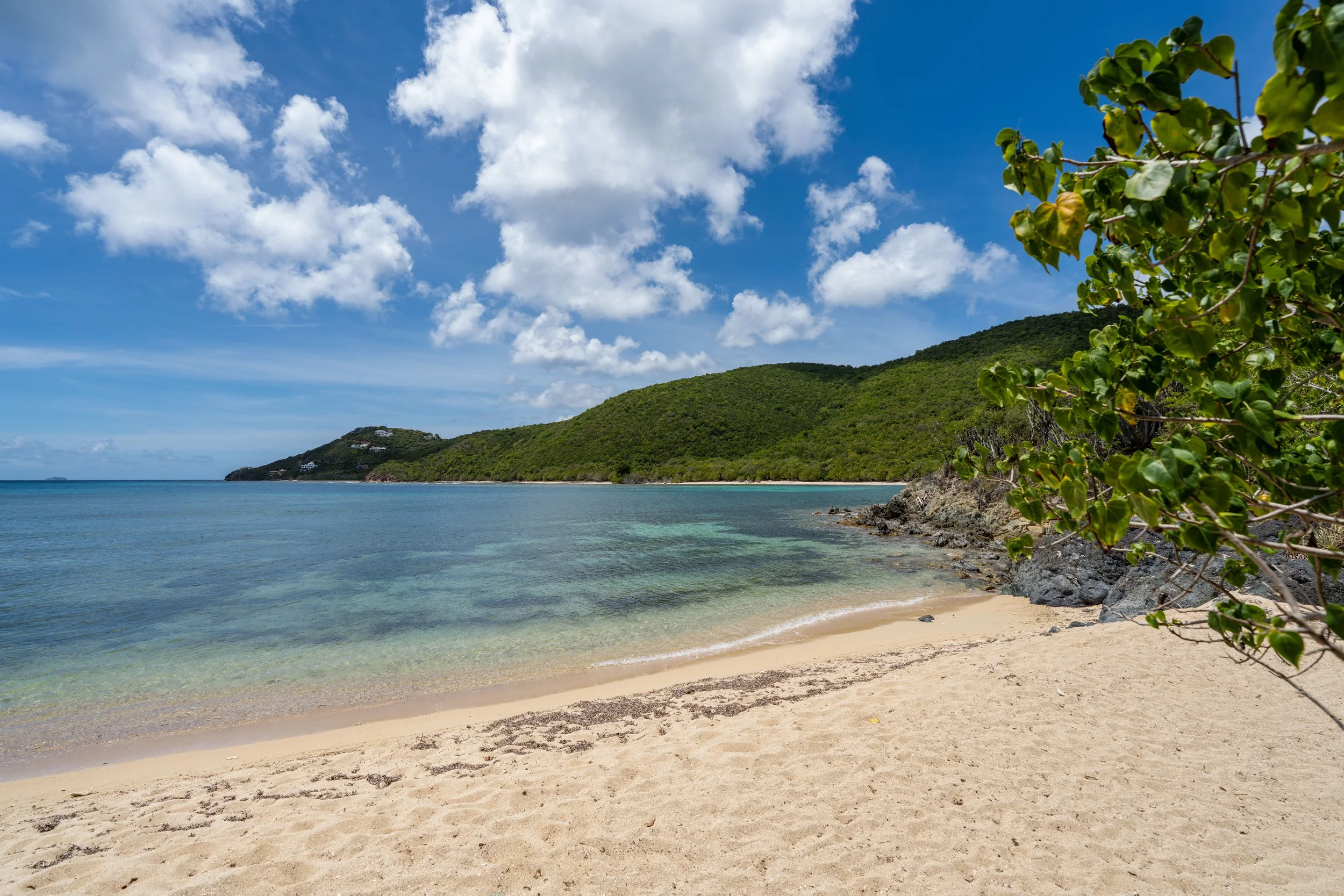
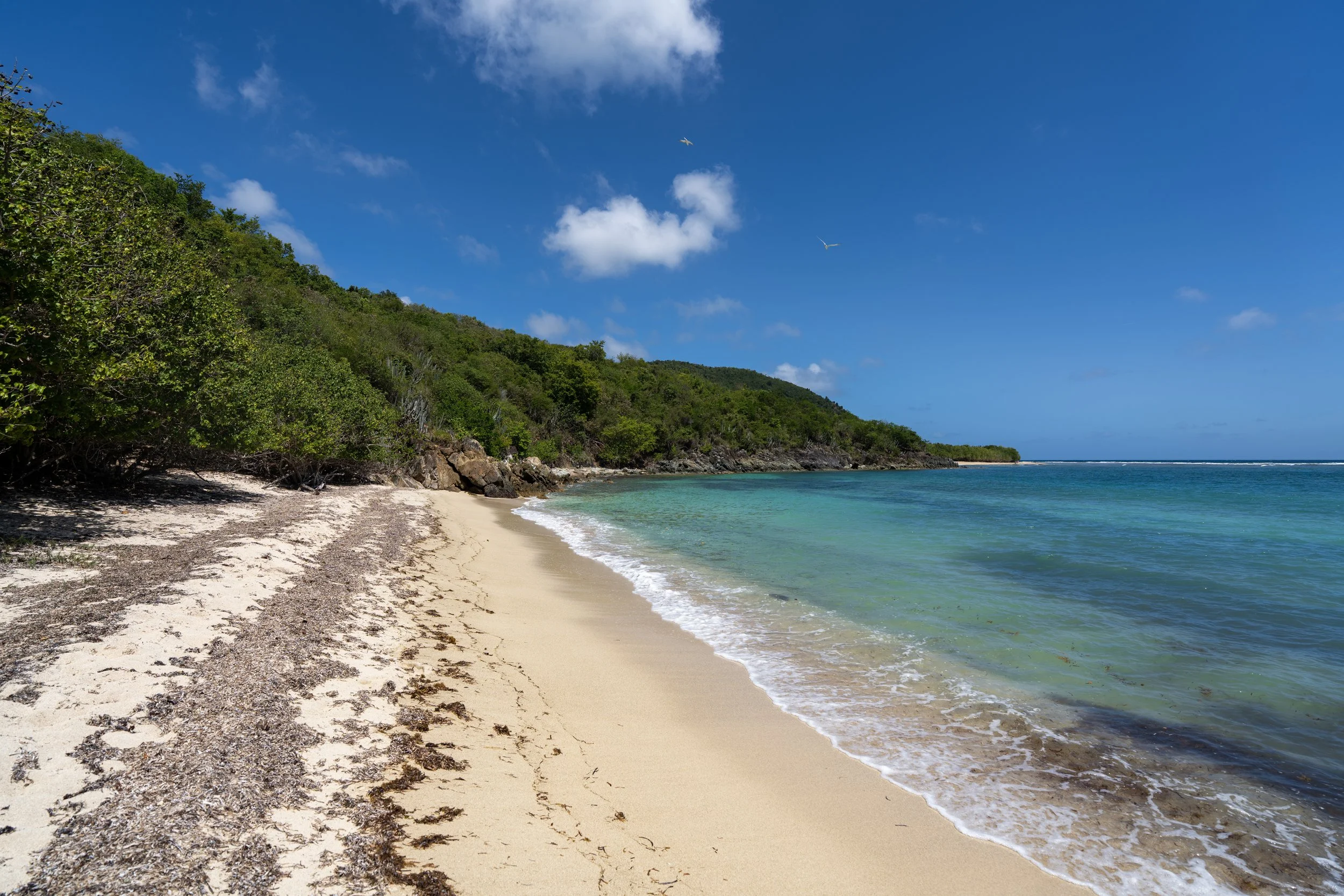
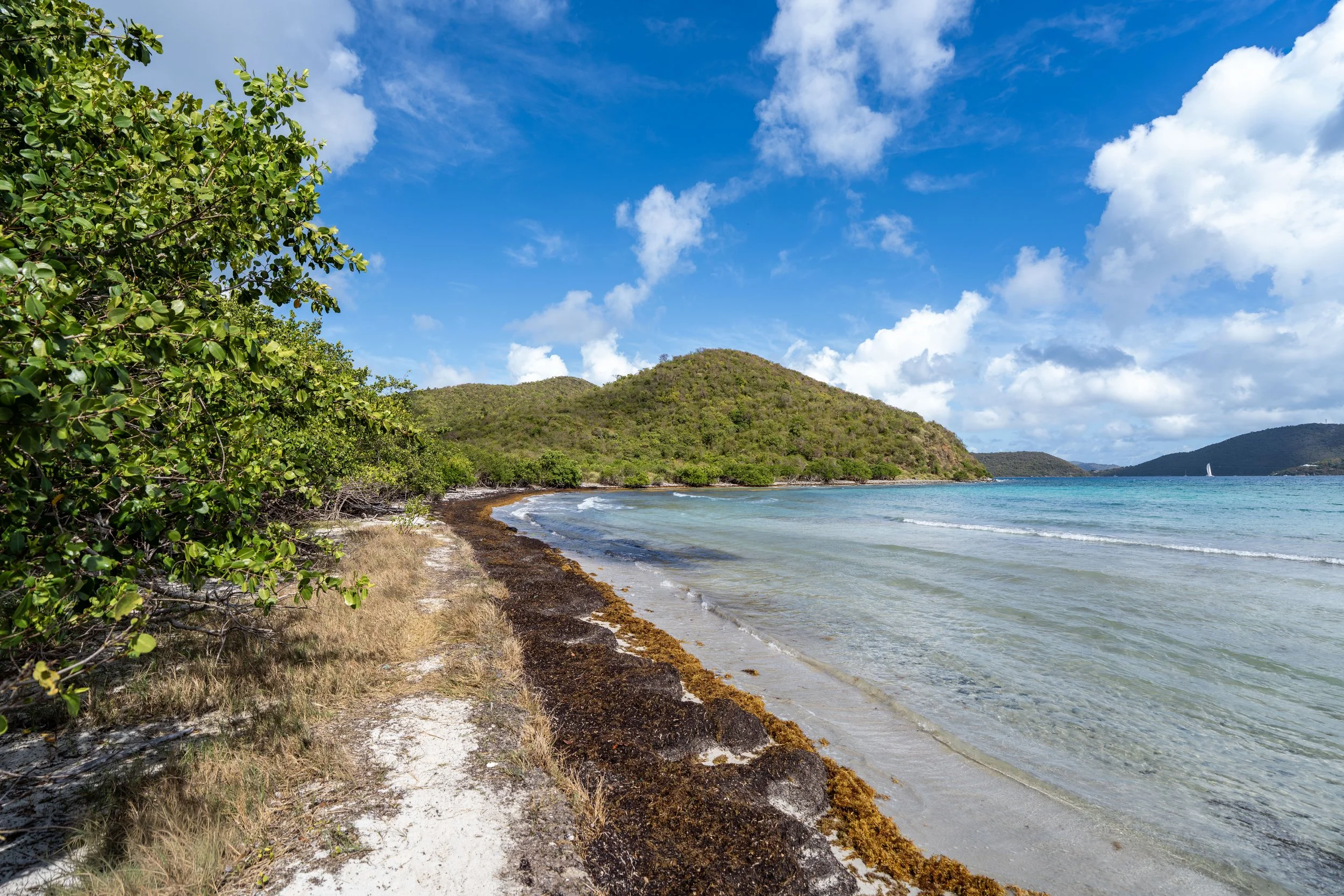
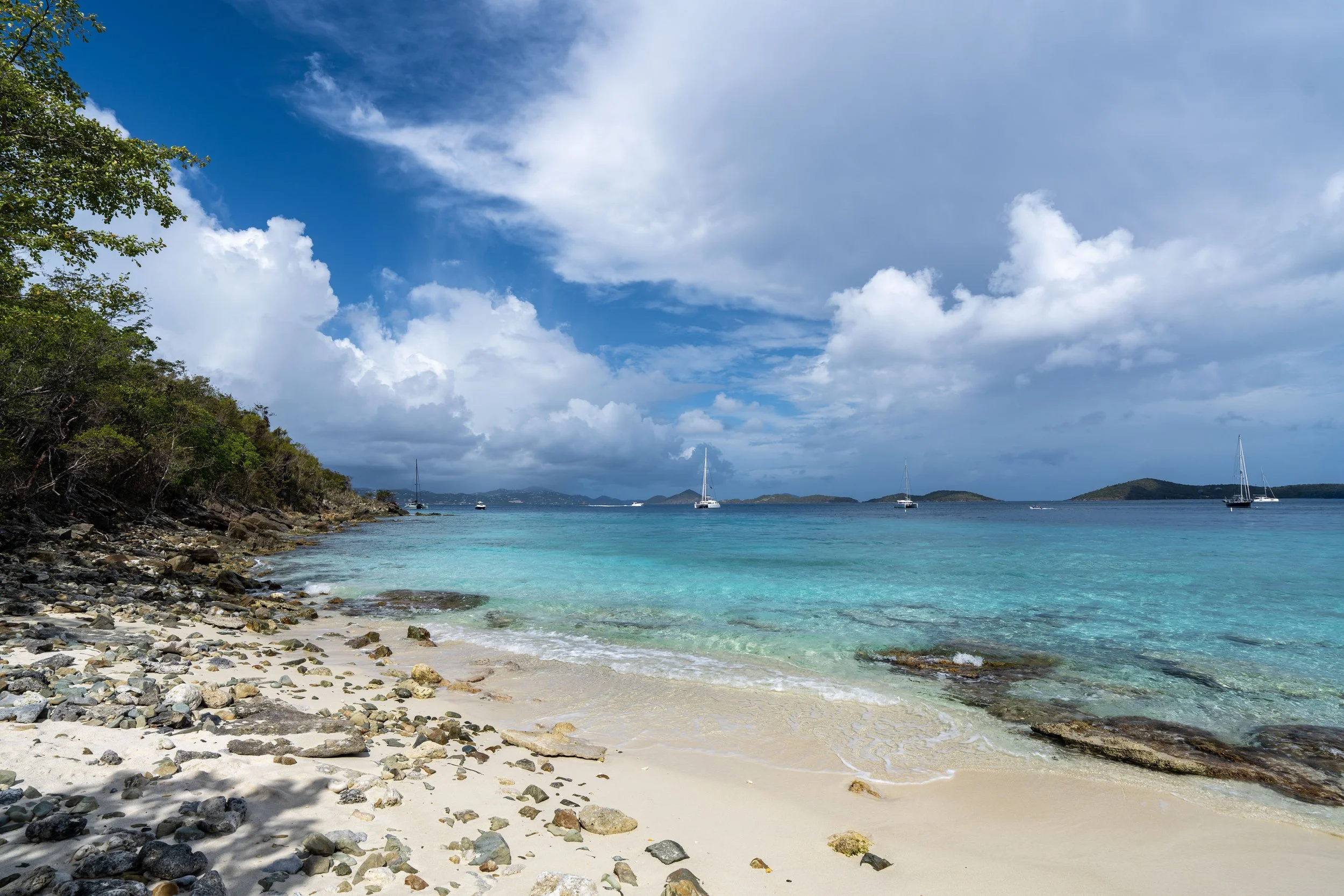
The Tamarind Tree Trail, often called the Tamarind Trail, in Virgin Islands National Park is a very short connector between North Shore Road near Caneel Bay and the Caneel Hill Trail at the saddle between both Caneel and Margaret Hill.
This is exactly why the Tamarind Tree Trail is seldom hiked as a standalone adventure, but what I think makes it most useful is that it can be a very practical way to hike to the summit of Caneel Hill without the hassle of obtaining a parking pass or finding parking at either trailhead near the Cruz Bay Visitor Center.
In fact, it’s a slightly shorter hike when starting from the Tamarind Tree Trailhead than from the visitor center, or there is also the option to go left once at the top to hike directly over to Margaret Hill, the best viewpoint on the entire Caneel Hill Trail!
Tamarind Tree Trailhead Parking
Parking for the Tamarind Tree Trail is located at the switchback just up the hill from Caneel Bay, directly off North Shore Road.
That said, it is rare to find other hikers setting out from the Tamarind Tree Trailhead, meaning that finding a place to park is typically never an issue in the small pullout.
Google Maps Directions: Tamarind Tree Trailhead
Hiking Checklist - Virgin Islands
Here is a complete list of must-have things that you will want for any hike in Virgin Islands National Park.
Hiking the Tamarind Tree Trail
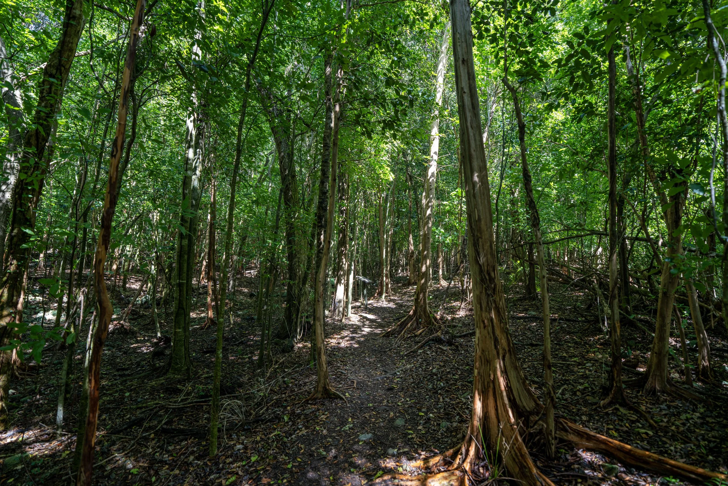
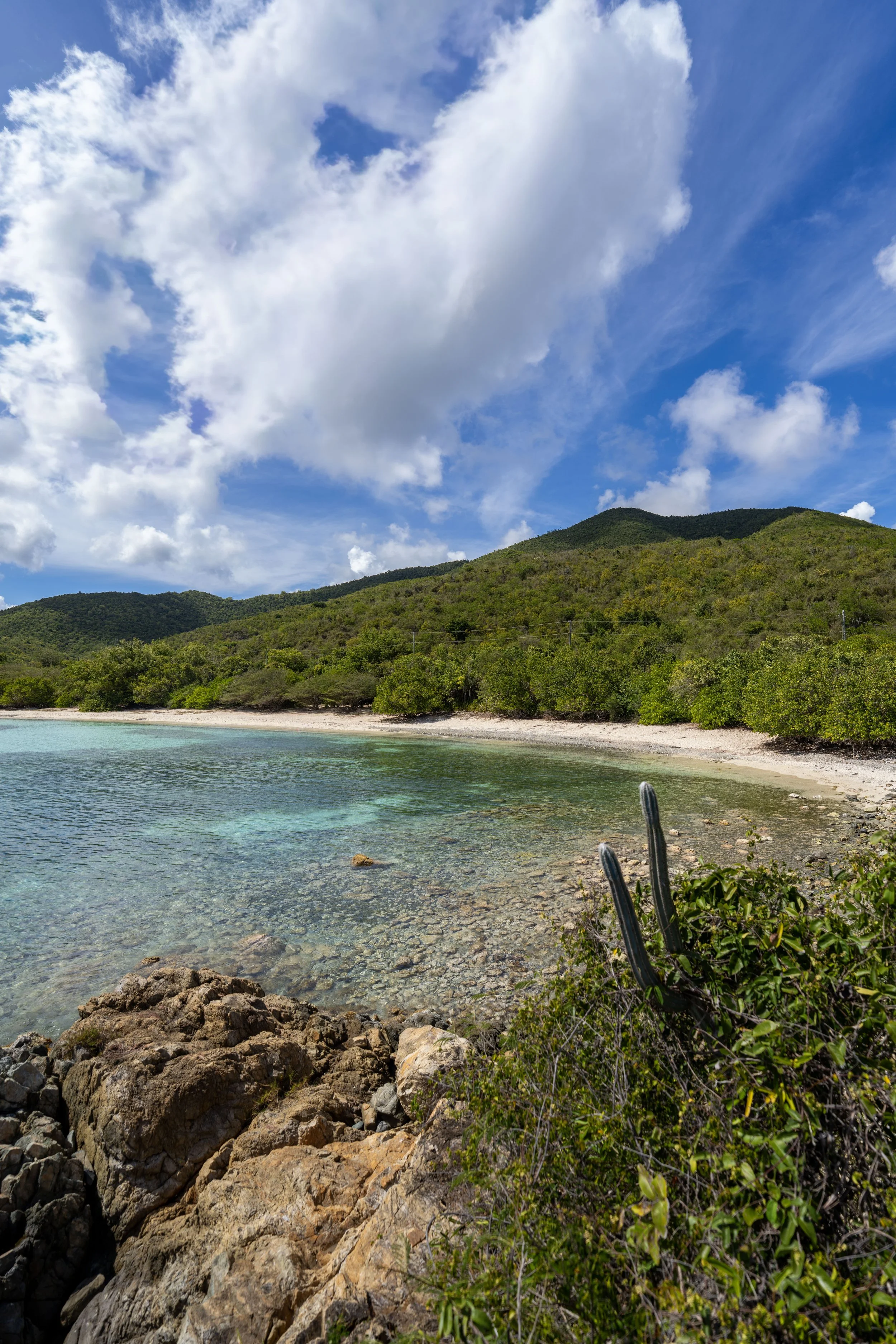
The Tamarind Tree Trail begins at the sharp bend in the switchback and begins climbing right from the start, gaining roughly 360 ft. (110 m) from this point to the junction with the Caneel Hill Trail at the top.
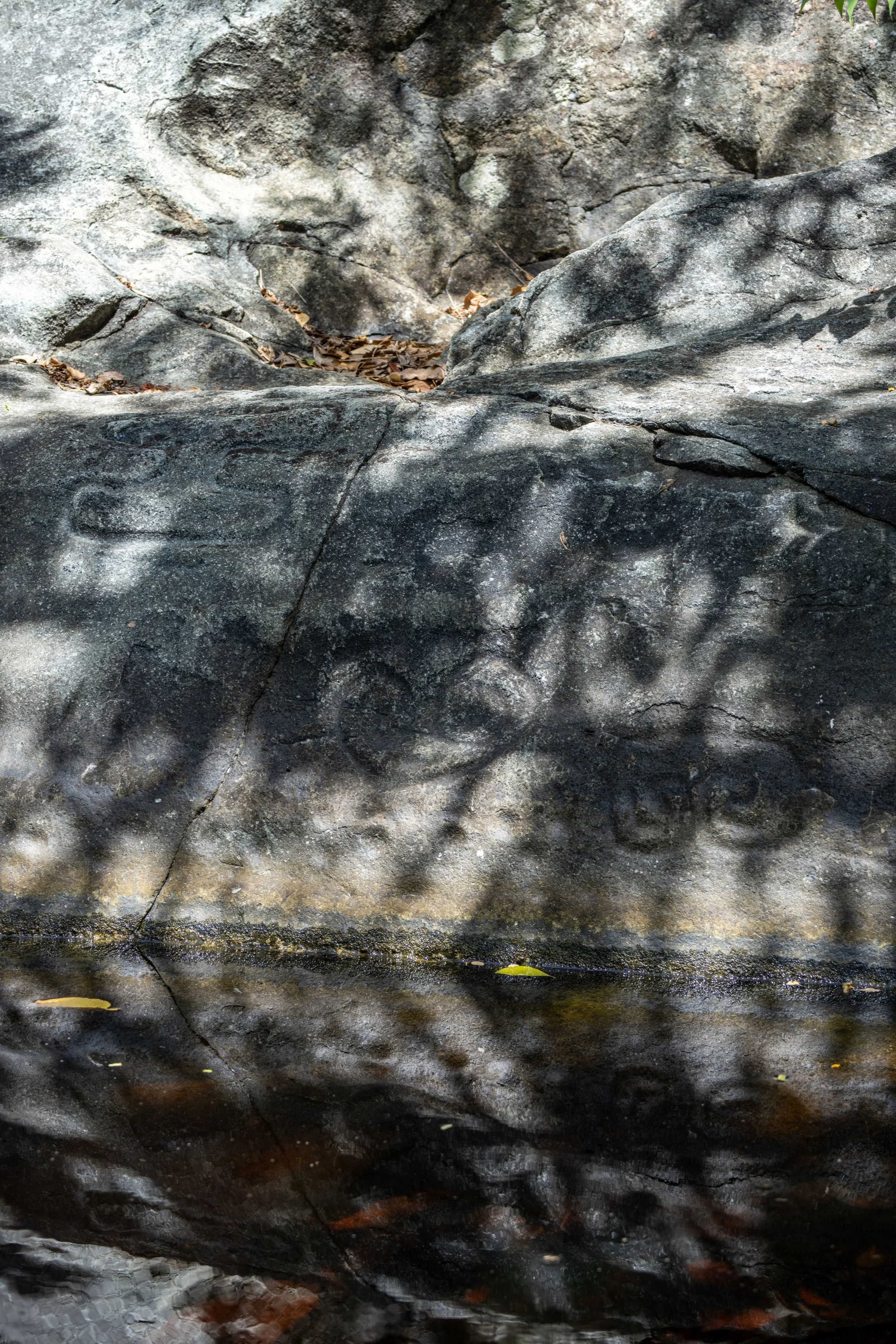
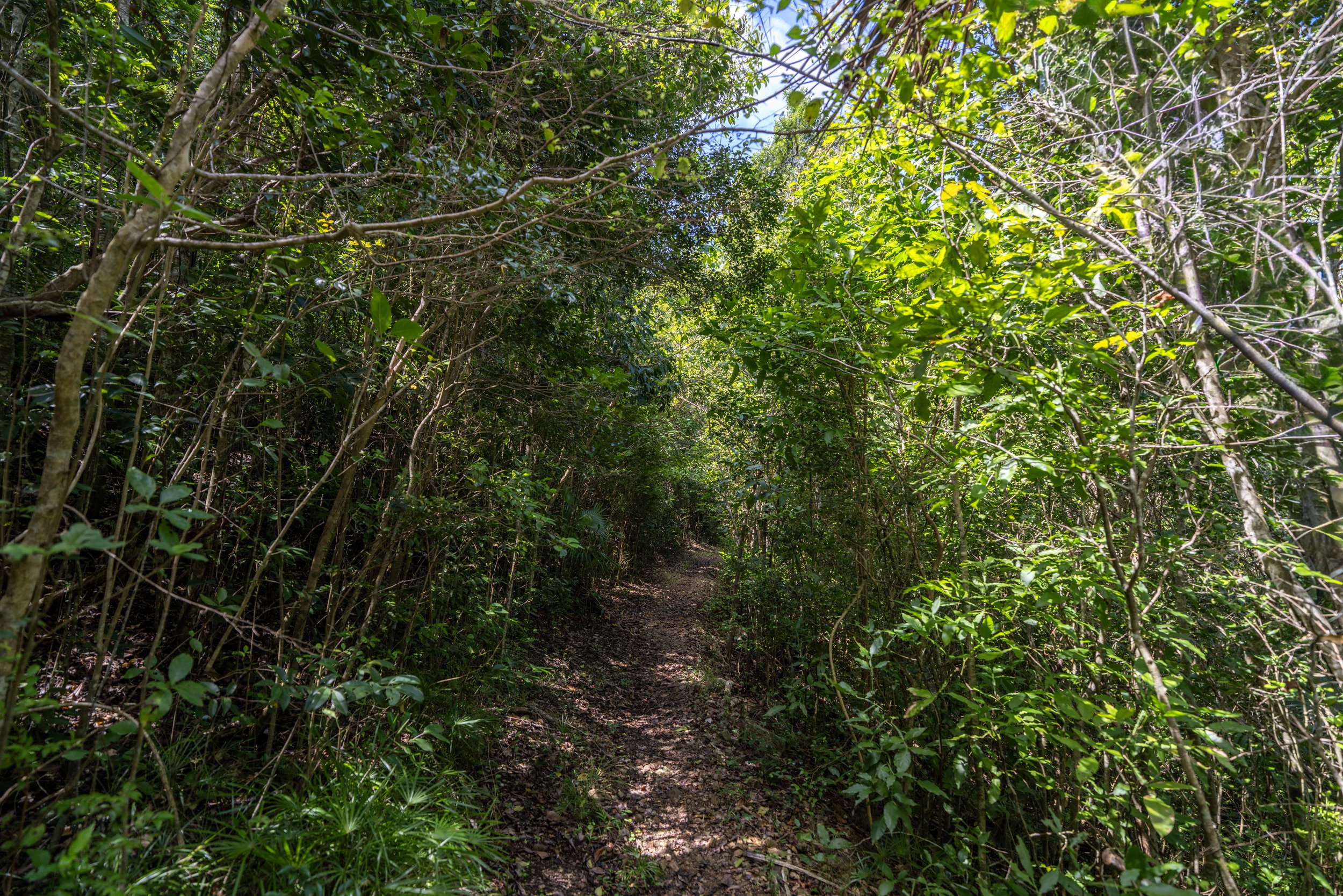
When the Tamarind Tree Trail crosses this typically dry streambed, the route can look a little confusing when hiking uphill, but the correct path continues on the far side of the large boulder shown in the photo below.
After the first, somewhat confusing section shown above, the rest of the Tamarind Tree Trail to the Caneel Hill Trail is much more straightforward.
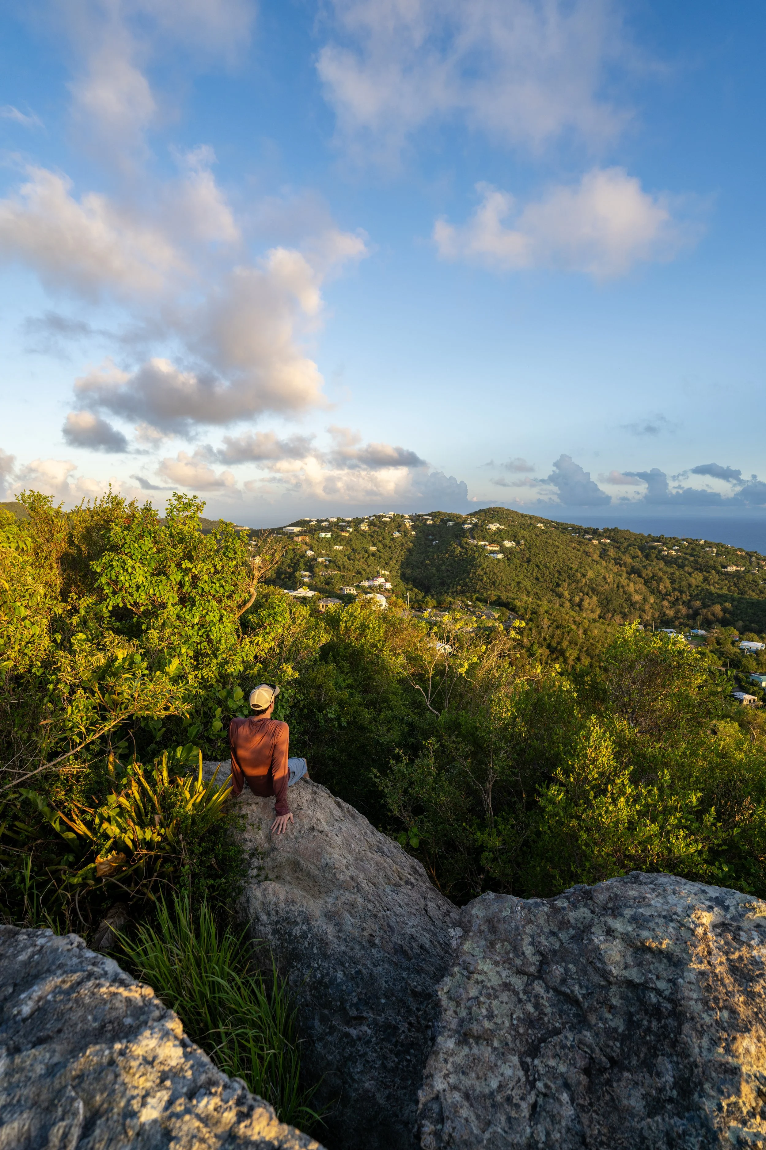
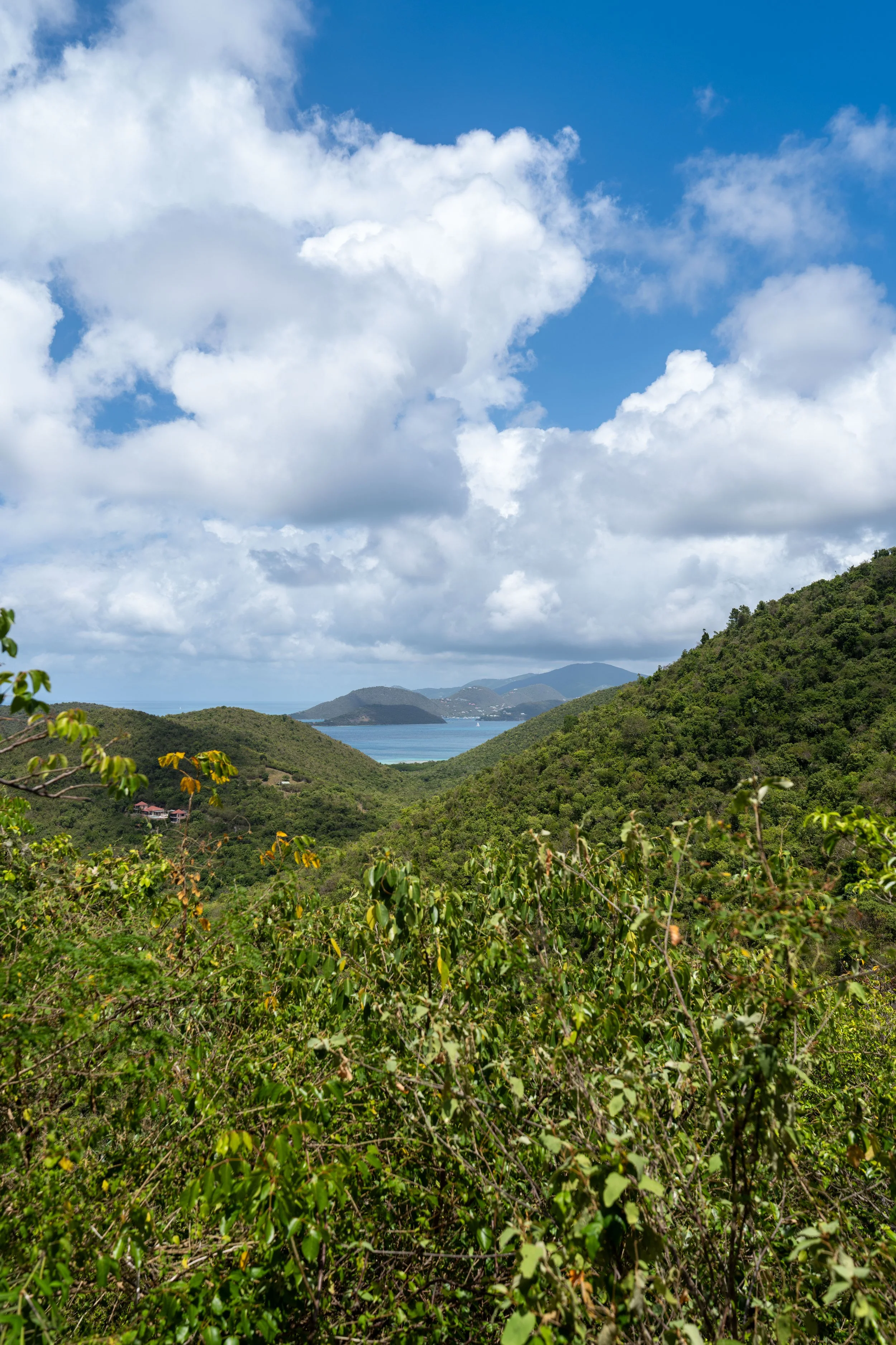
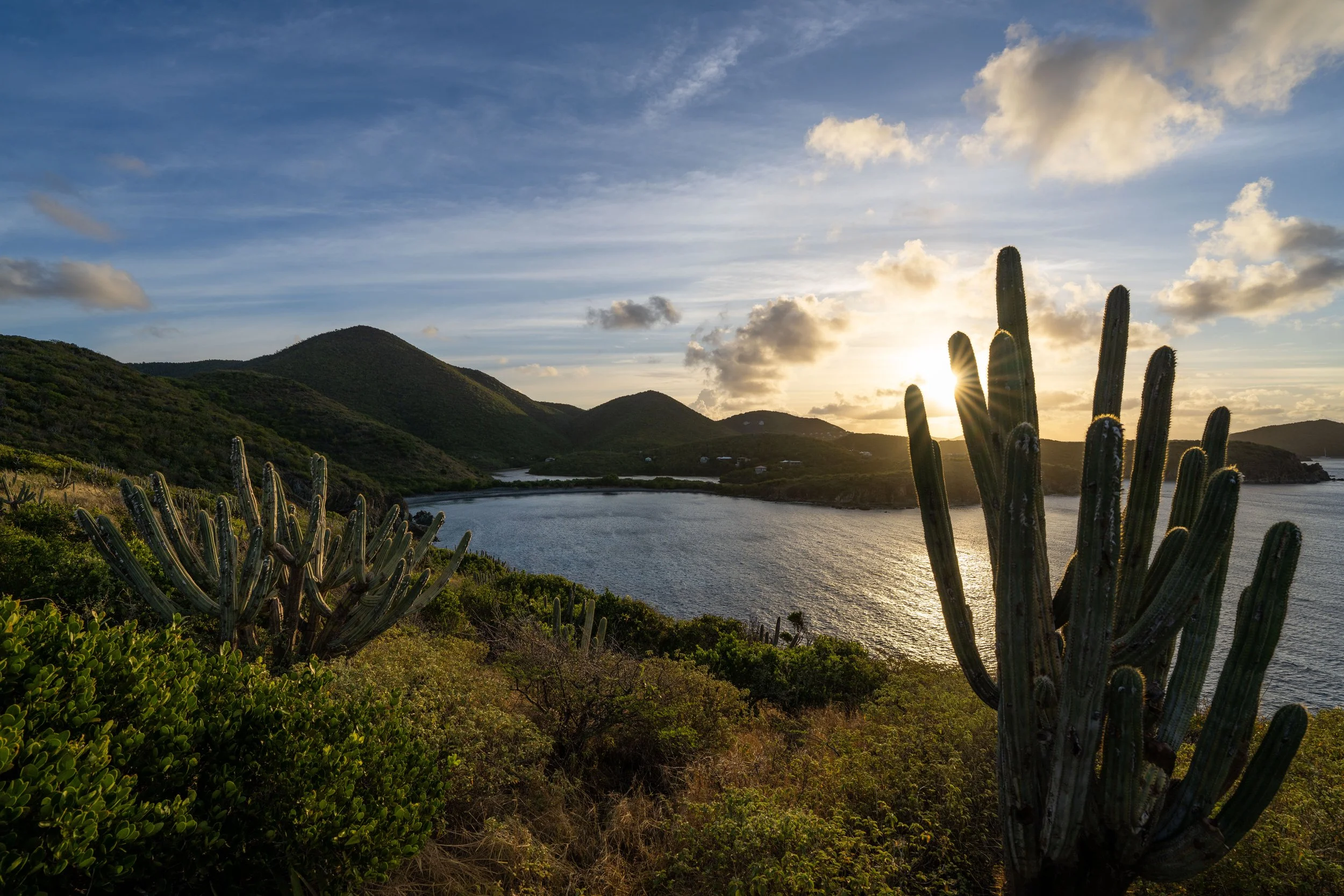
Something that I like to mention when writing about Caneel Hill is just how hilly the mountain and the hike are overall!
There are really no breaks from the constant elevation changes, which is true for all three day hikes that link together, including the Tamarind Tree Trail.
This is exactly why some hikers may want to bring trekking poles when exploring the Tamarind Tree Trail or any part of the Caneel Hill Trail above, especially considering how rapid the elevation changes are!
In addition to poles, I also recommend hiking in a hooded sun shirt if you plan to hike farther on the Caneel Hill Trail, as any hike in either direction from the junction at the top ends up being a lot of time spent outside!
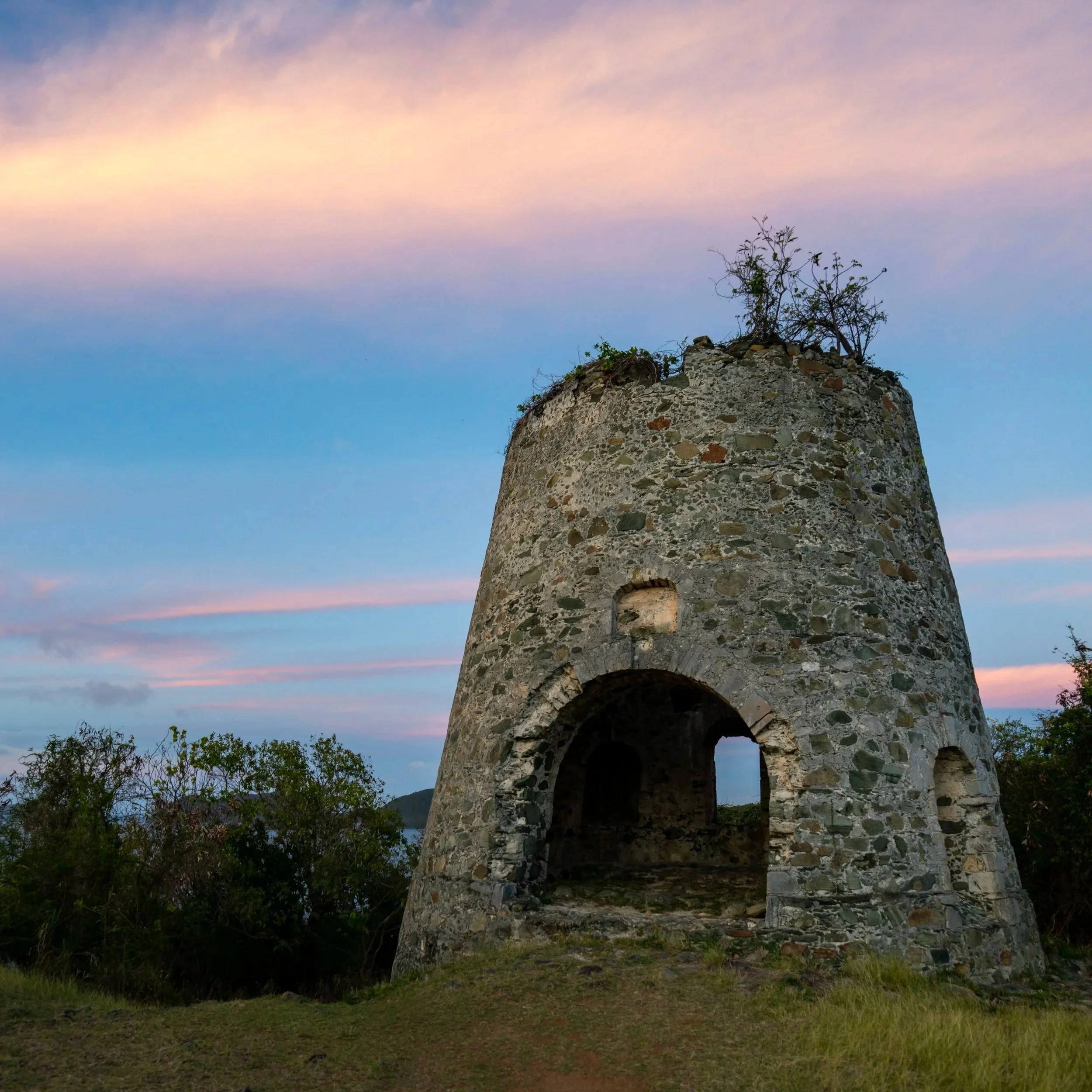
What is a Tamarind Tree?
In Virgin Islands National Park, the Tamarind tree is a non-native, invasive species, as it was introduced during the colonial era where it quickly became established and a permanent part of the landscape.
The species, Tamarindus indica, is actually native to dry savannas of tropical Africa, but many on the island today treat it like a native tree, though it continues to displace native species, like the common Bay Rum tree.
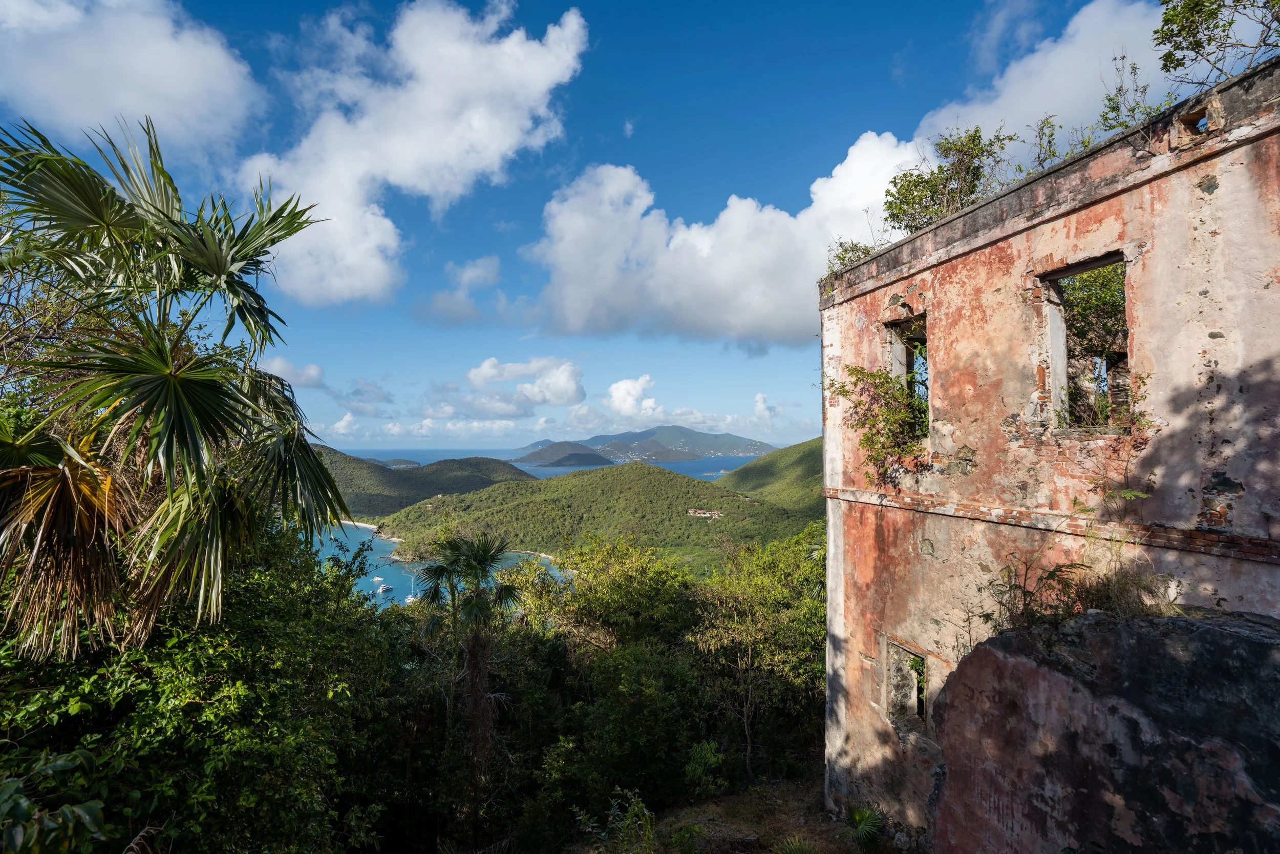
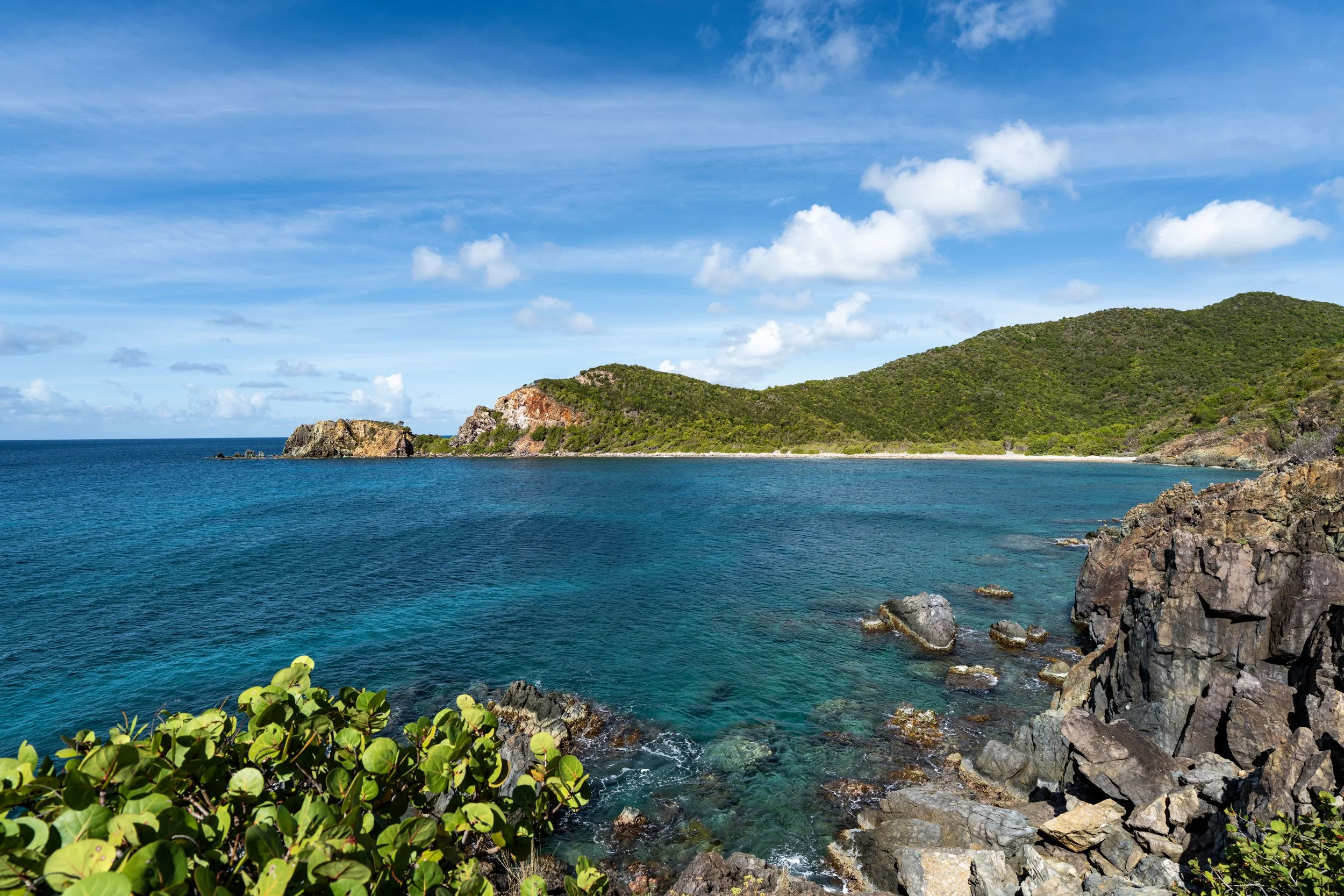
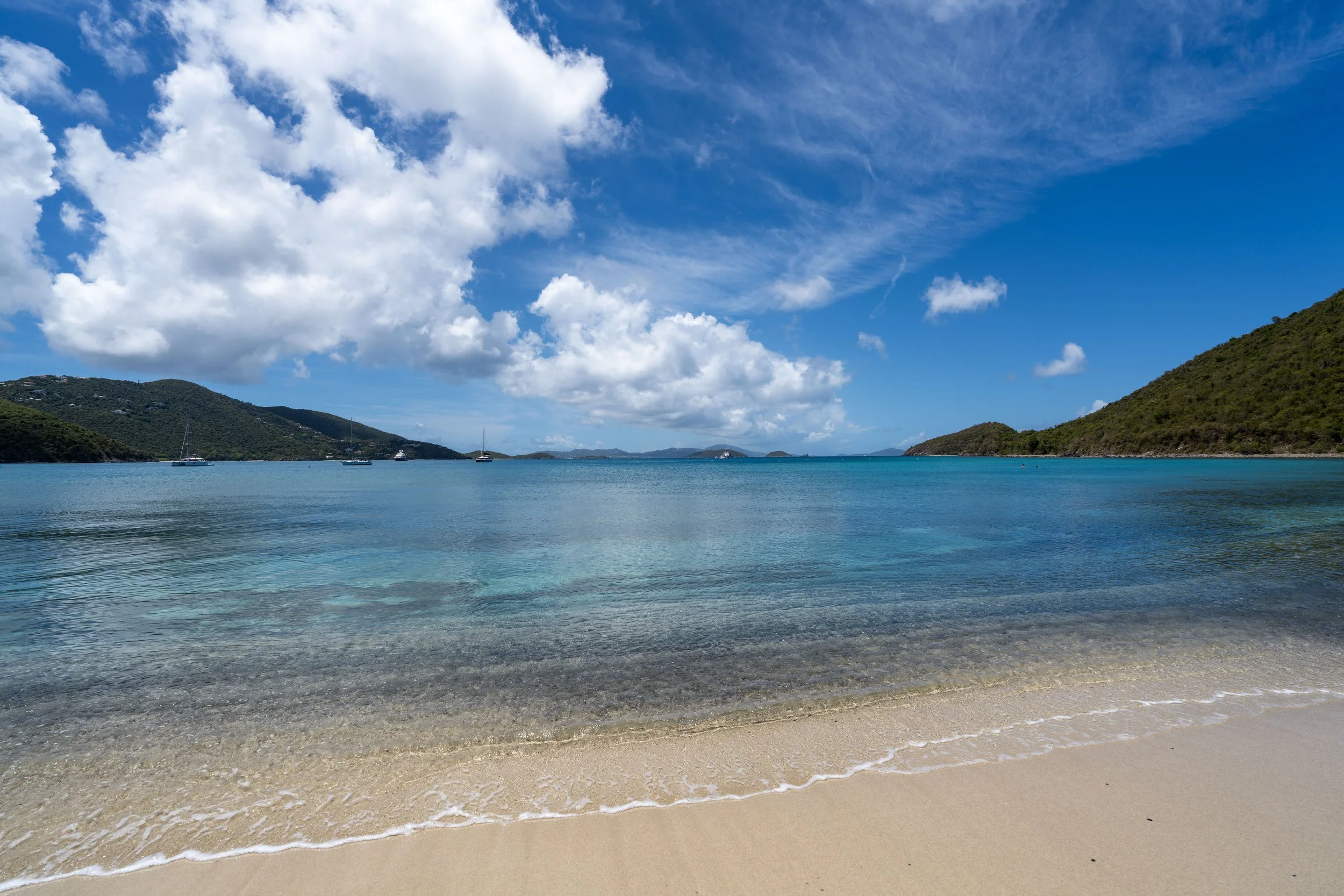
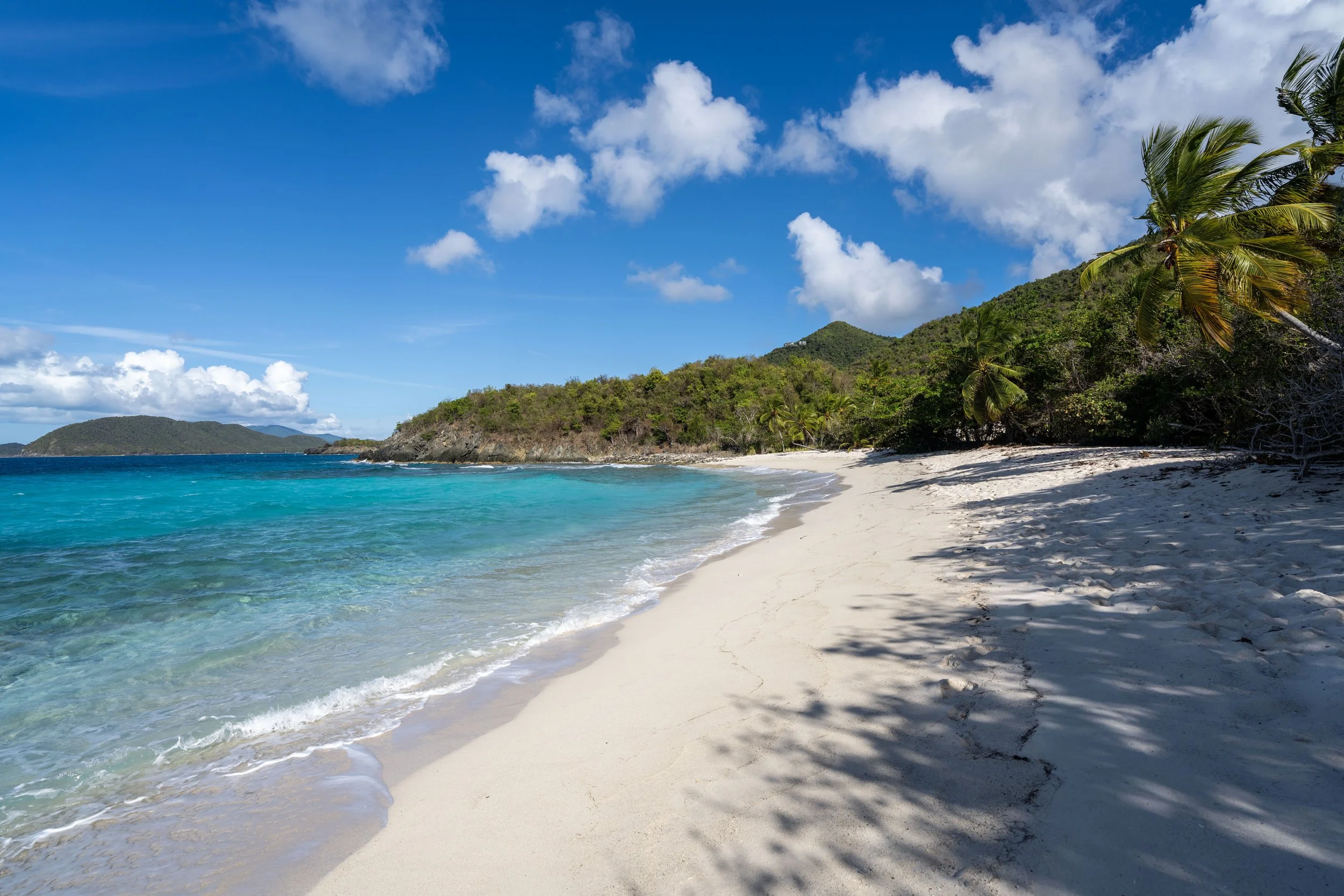
Tamarind Tree-Caneel Hill Junction
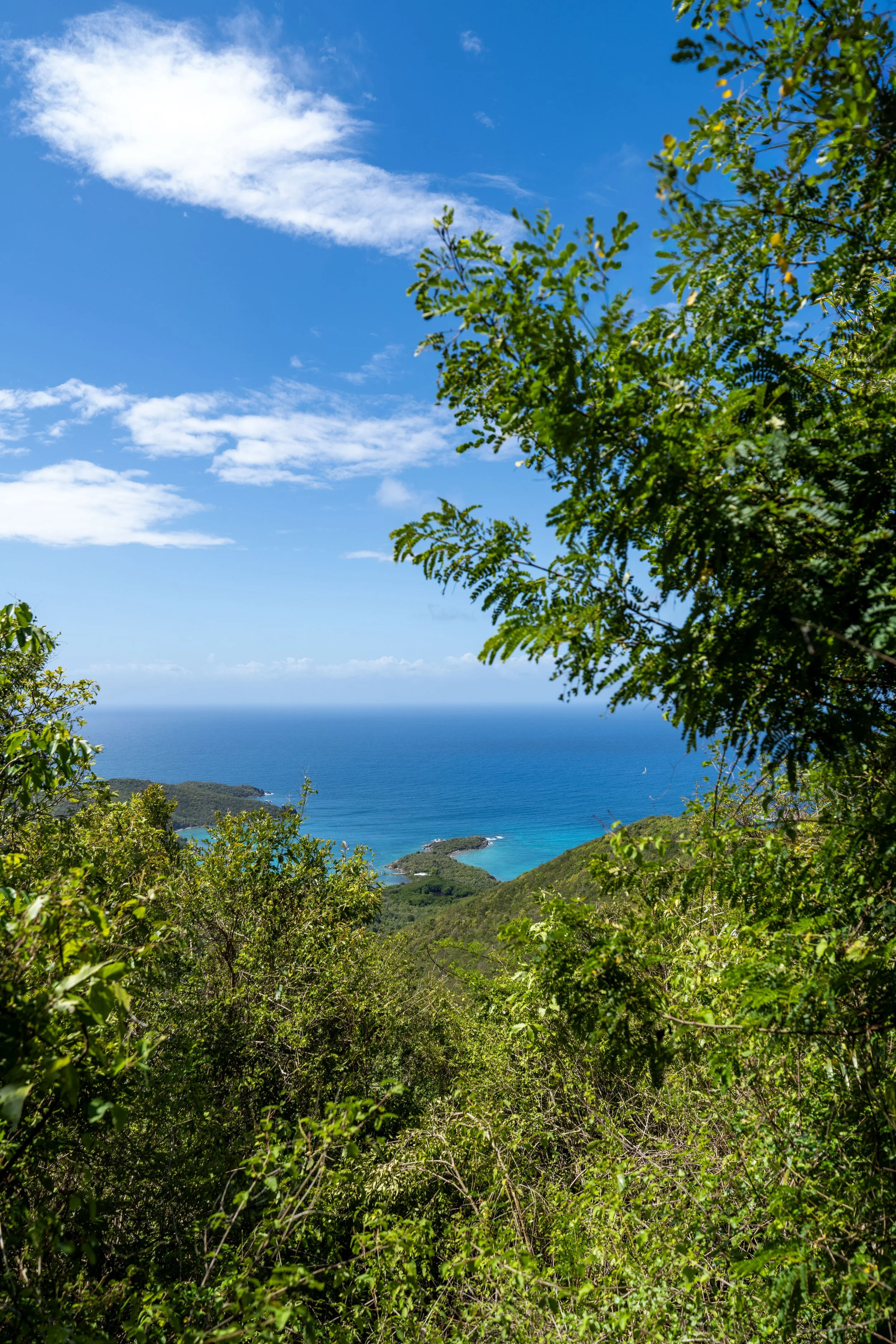
This is the end of the Tamarind Tree Trail and the saddle between both Caneel Hill to the right (west) and Margaret Hill to the left (east).
That said, both viewpoints are located roughly 0.3 miles (0.5 km) away in either direction, with Margaret Hill being my favorite overall!
Read My Separate Post: Caneel Hill Trail