Hiking the Desolation Canyon Trail in Death Valley National Park
Distance: 3.8 miles / 6.1 km
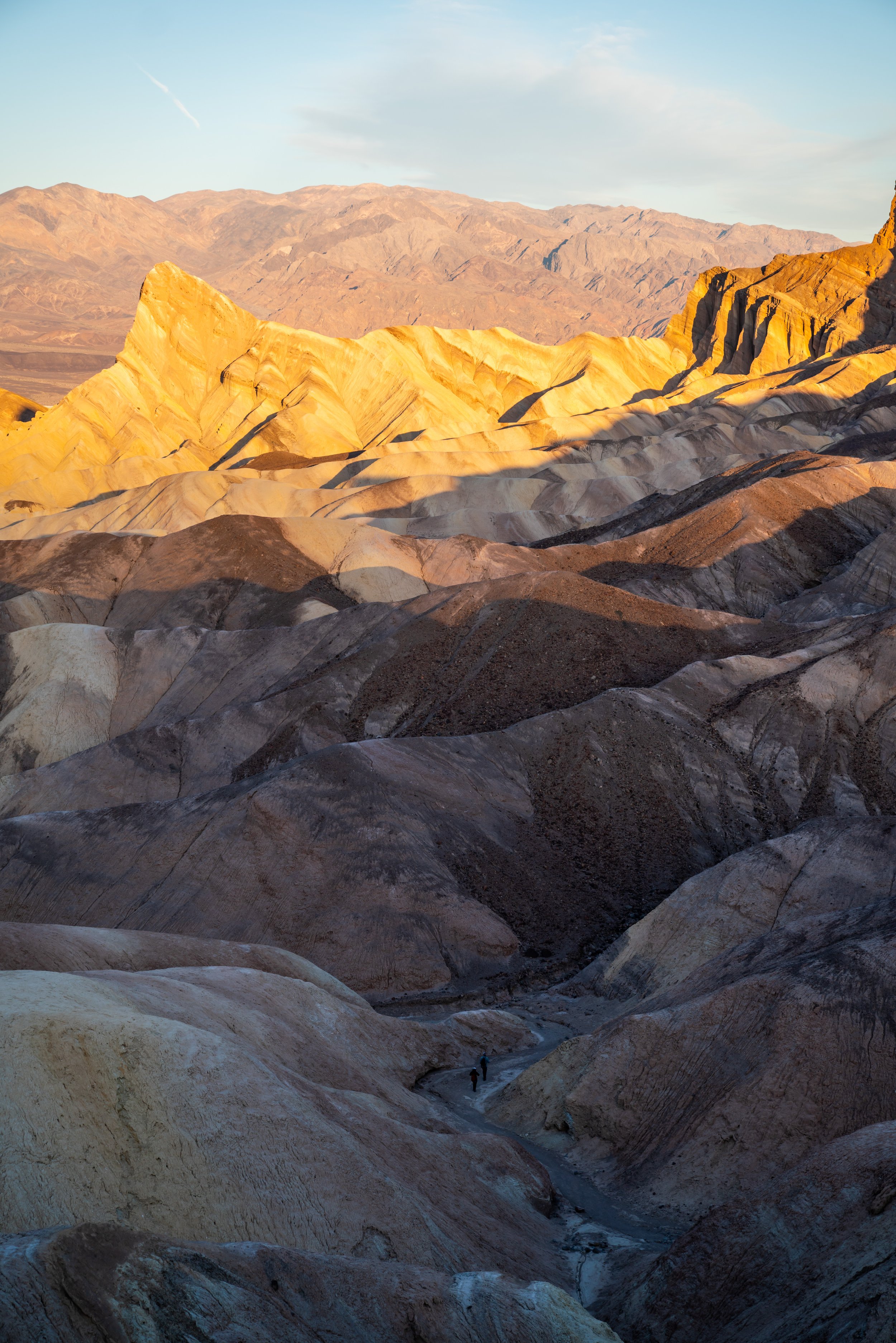
The Desolation Canyon Trail in Death Valley National Park is a beautiful, relatively easy day hike that often attracts far fewer visitors compared to nearby adventures, like Artists Palette and Golden Canyon.
Personally, I highly recommend hiking Desolation Canyon for sunset because unlike other canyons in Death Valley, Desolation Canyon ends at a panoramic, west-facing viewpoint, making it a great choice to hike for sunset on a clear evening!
Desolation Canyon Trailhead Parking
Parking for Desolation Canyon is located in a dirt parking area at the very end of Desolation Canyon Road.
Most vehicles should be able to make the short drive off of Badwater Road, but any gravel road in Death Valley can get more difficult or impassable when the park has been experiencing a lot of wet weather.
Google Maps Directions: Desolation Canyon Trailhead
Hiking Checklist - Death Valley
Here is a complete list of must-have things that you will want for any hike in Death Valley National Park.
Hiking the Desolation Canyon Trail
Don’t forget to pack a headlamp for a sunset hike.
The Desolation Canyon Trail starts out at the mouth of the canyon on a very open/ exposed trail. This is why I don’t recommend the trail midday.
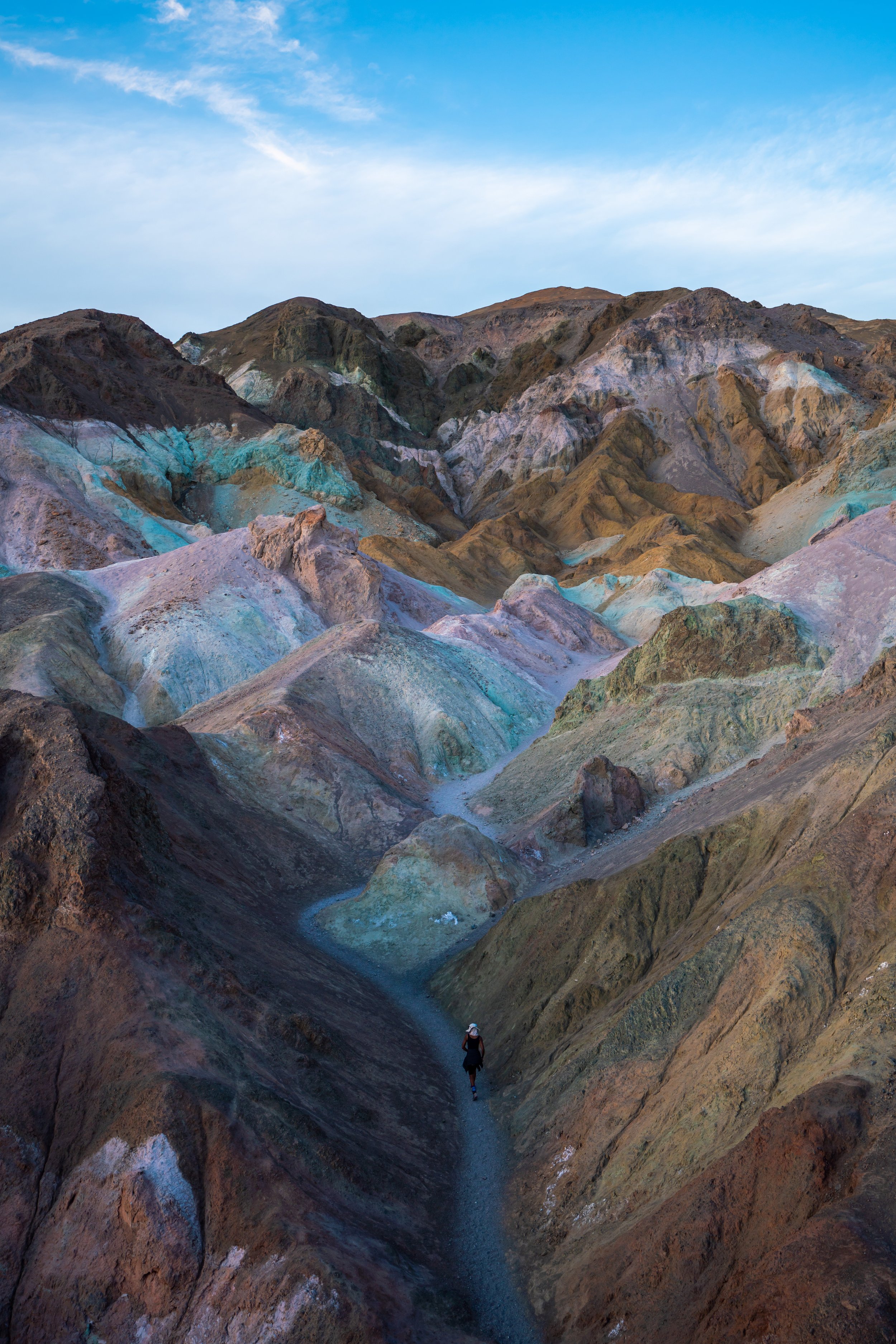
The Upper Trail / Wash
Eventually, the trail will reach the wash where you can either hike on the upper trail shown below in the photo on the right or directly in the wash in the photo on the left.
The upper trail is slightly more challenging, which is why I included the photos below, but if you want to take the fastest and easiest route, stay in the wash.
The upper trail returns back to the wash eventually making it completely unnecessary.
This is where the upper trail returns back down into the wash, which is why I recommend staying in the wash the entire time.
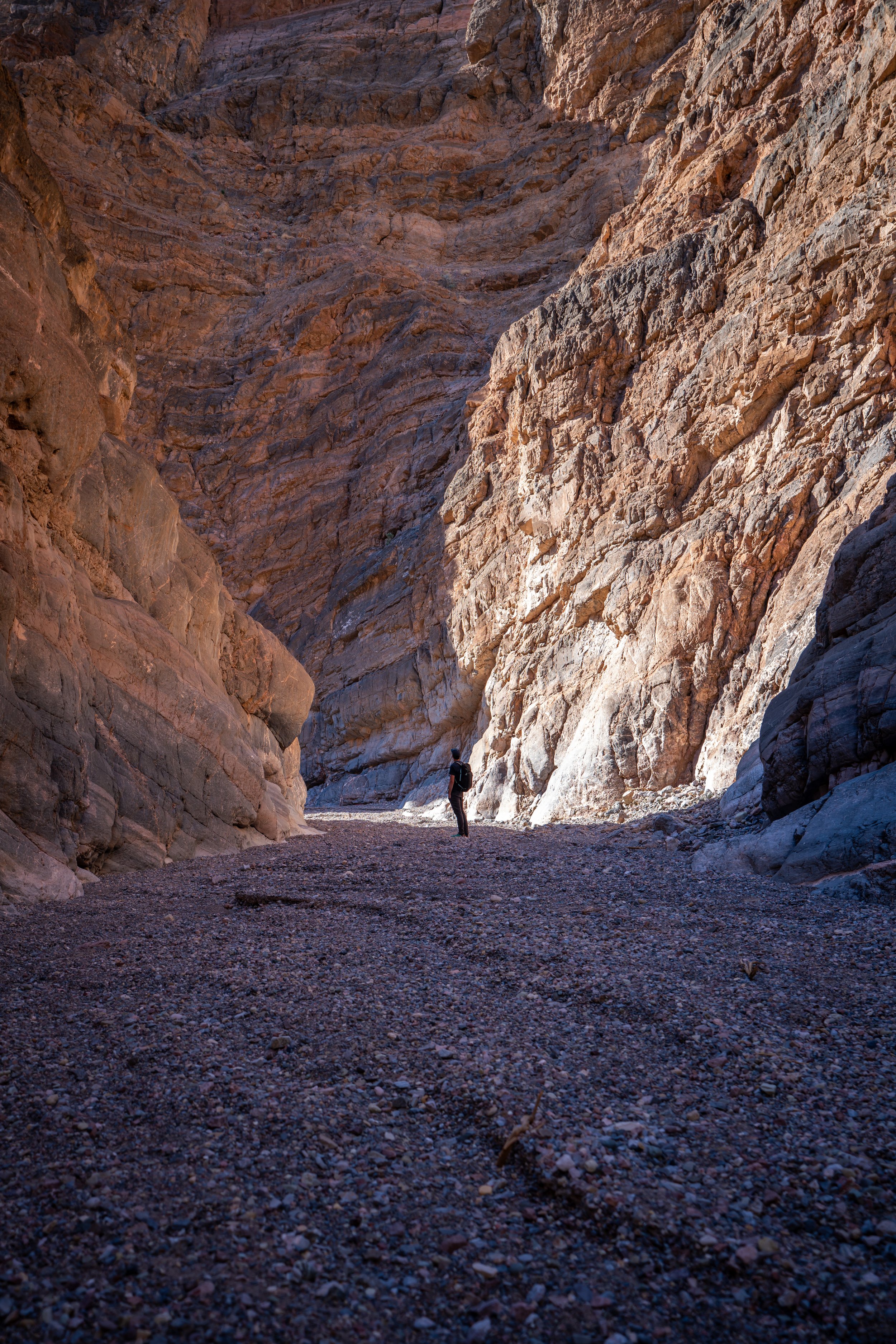
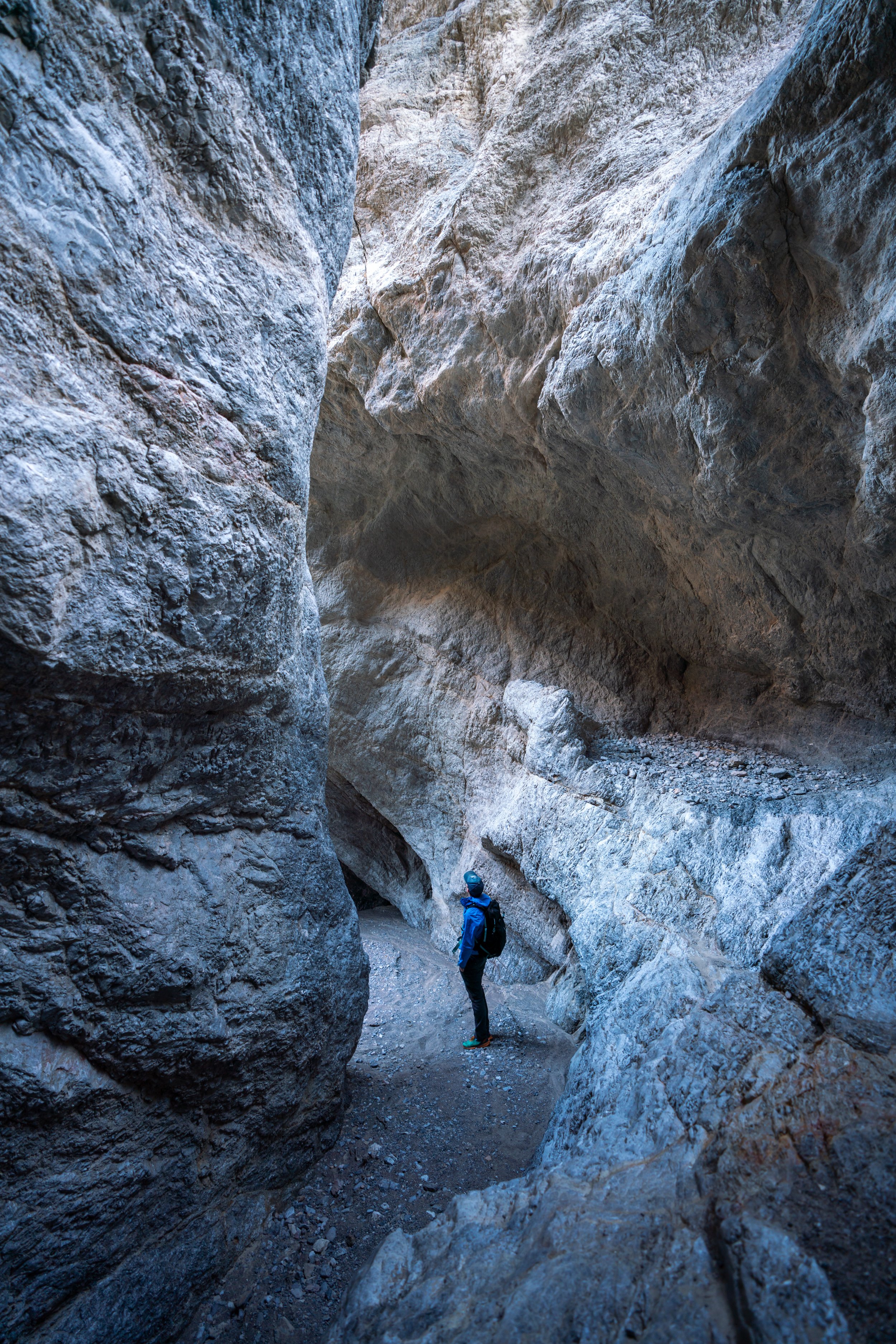
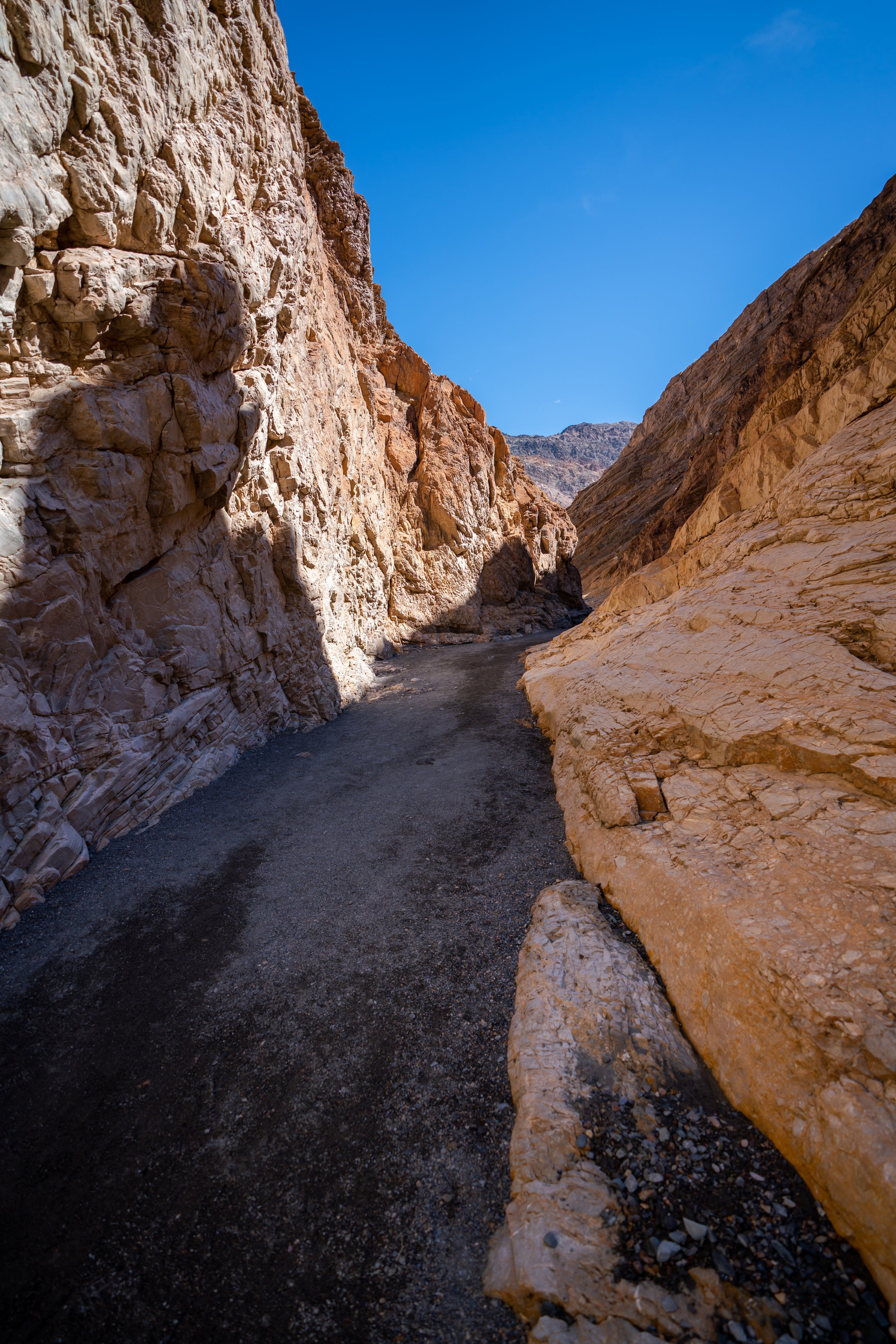
The Wash
From this point on, the Desolation Canyon Trail will follow the main wash until the hill to the final viewpoint at the very end.
Stay to the right.
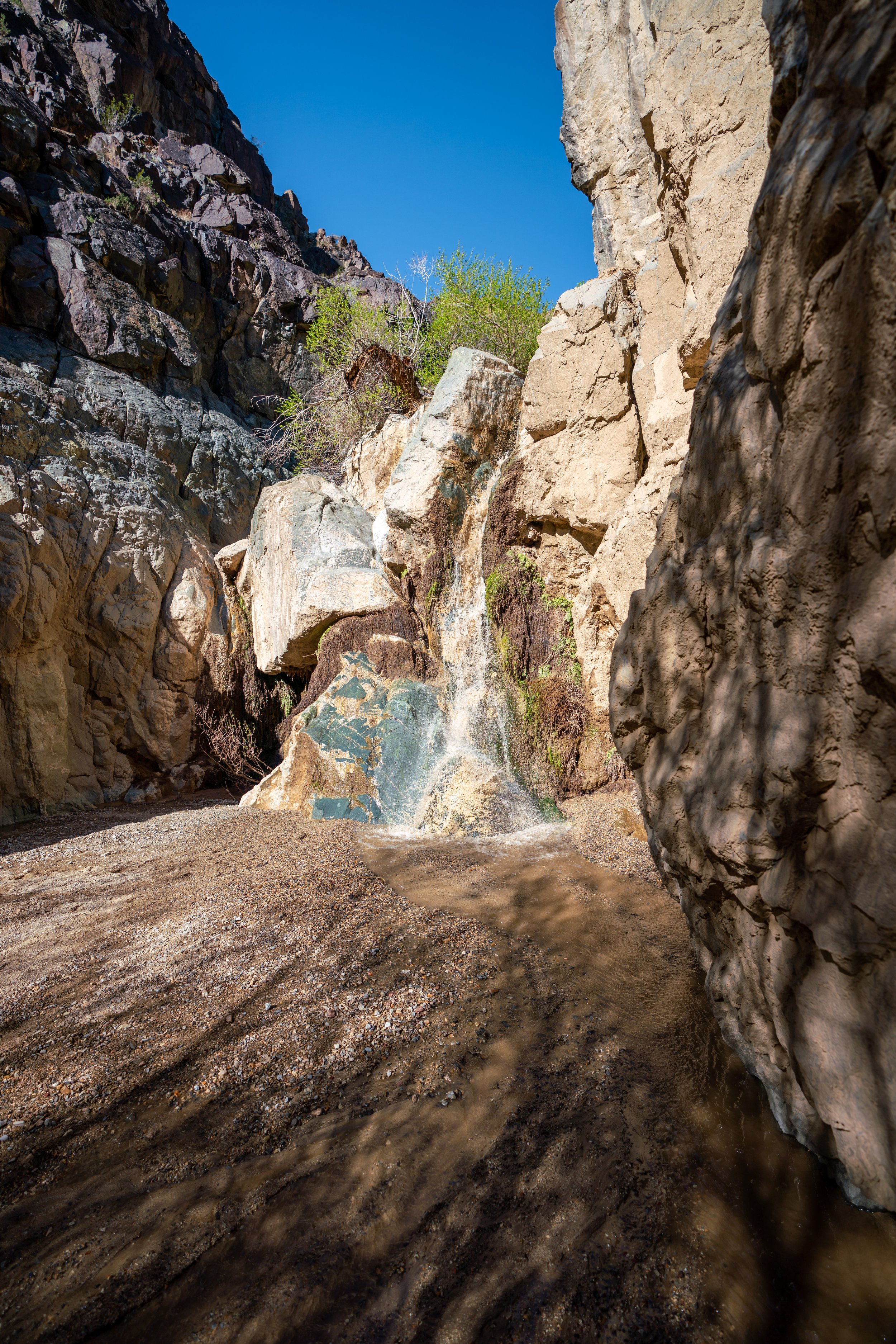
There will be three small ledges to scramble up, but none of them are too difficult to navigate.
Again, stay to the right.
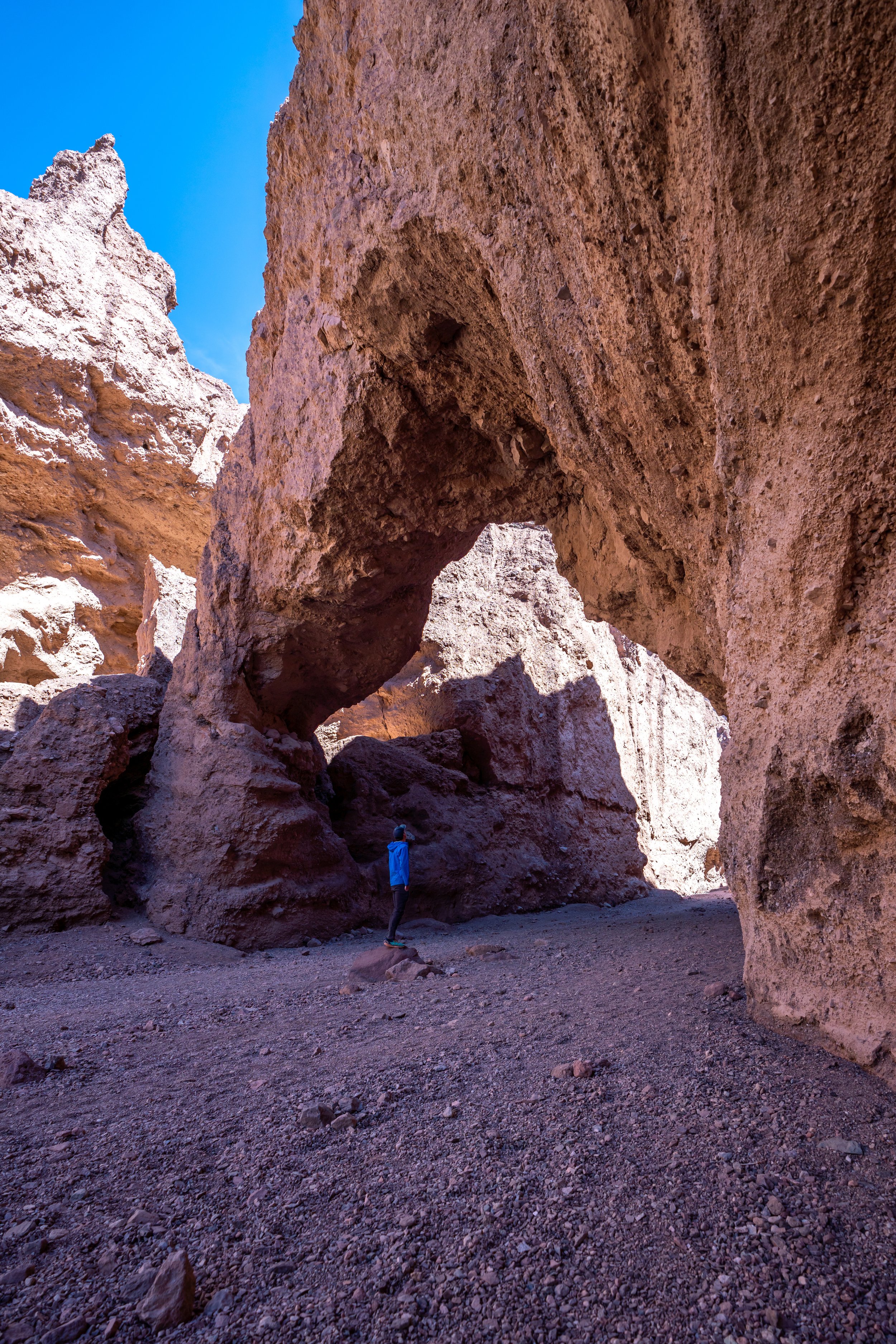
You may see small barriers like the rocks on the ground in the photo below, but if not, most side trails off of the main canyon will run into a dead end.
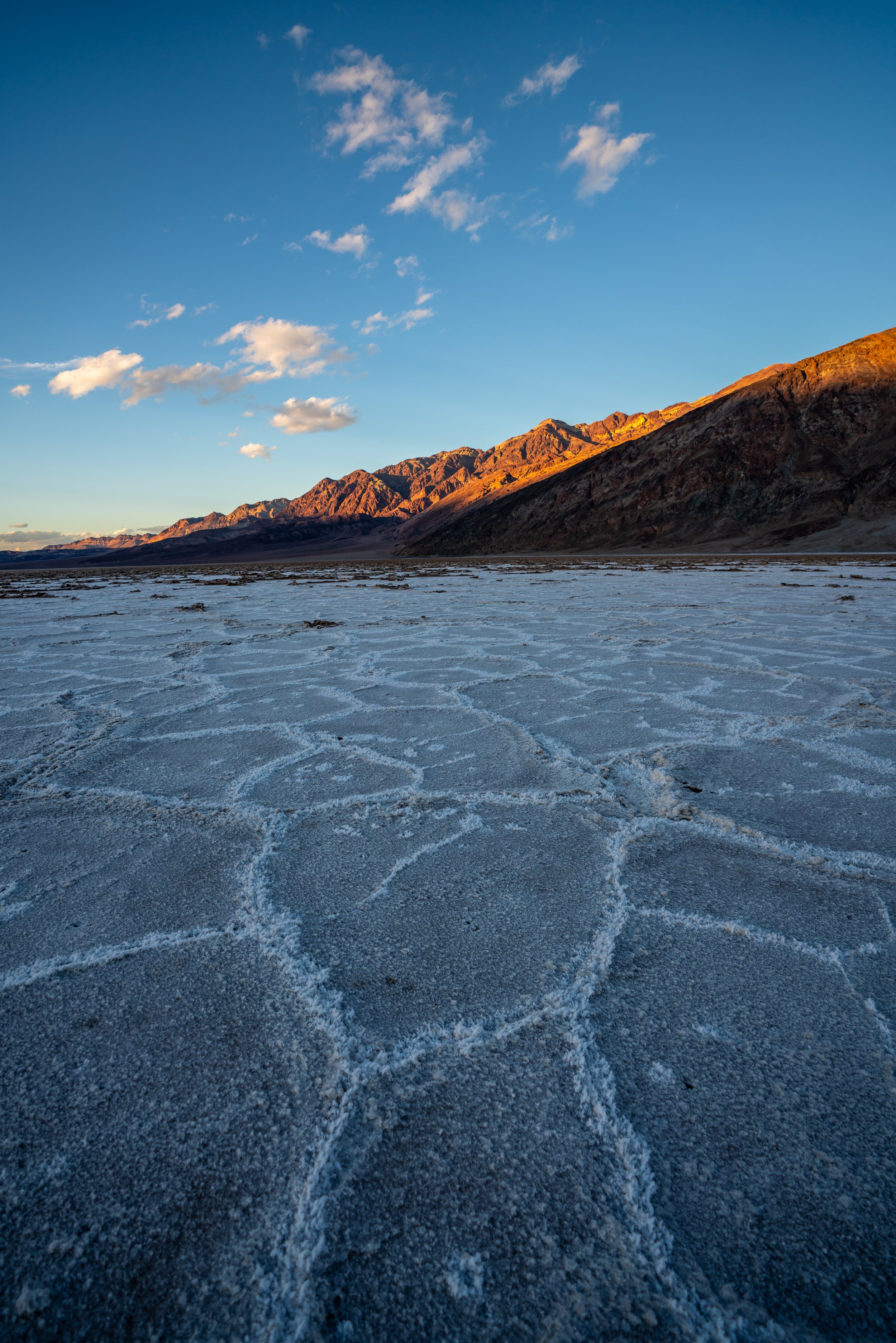
Toward the end of the hike, the trail climbs up and out of Desolation Canyon to a panoramic viewpoint of the Badwater Basin to the west.
This viewpoint out toward the Panamint Range makes for a great uncrowded sunset spot.