Hiking the Sanctuary Trail in Wind Cave National Park
Distance (One Way): 3.7 miles / 6.0 km
The Sanctuary Trail in Wind Cave National Park is an out-and-back day hike between Highway 87 and the Highland Creek Trail that is more often than not hiked in parts by creating loops with not only Highland Creek, but also with the Centennial Trail and the Lookout Point Loop Trail.
By this, I mean that it is less common to hike just the Sanctuary Trail without creating a loop with one of these other routes. However, in terms of exploring the Wind Cave National Park backcountry, the Sanctuary Trail is one of the better choices!
I say this because sticking strictly to the Sanctuary Trail is a great way to experience what the heart of Wind Cave National Park is truly all about without committing to anything longer, like the Highland Creek Trail.
In my opinion, the Sanctuary Trail is most similar to the East Bison Flats Trail in this regard, though the Bison Flats have far fewer trees in comparison.
All this to say, this article is about the full Sanctuary Trail, from the trailhead off Highway 87 to the Highland Creek junction, but I recommend using all of my other posts, as well as the park map, to help plan how much or how little you’re interested in seeing!
U.S. National Park Pass
There is no entrance fee to visit Wind Cave National Park.
However, entrance fees are collected at Badlands National Park and Devils Tower National Monument, which is why I recommend purchasing your National Park pass in advance before traveling to the Black Hills.
Sanctuary Trailhead Parking
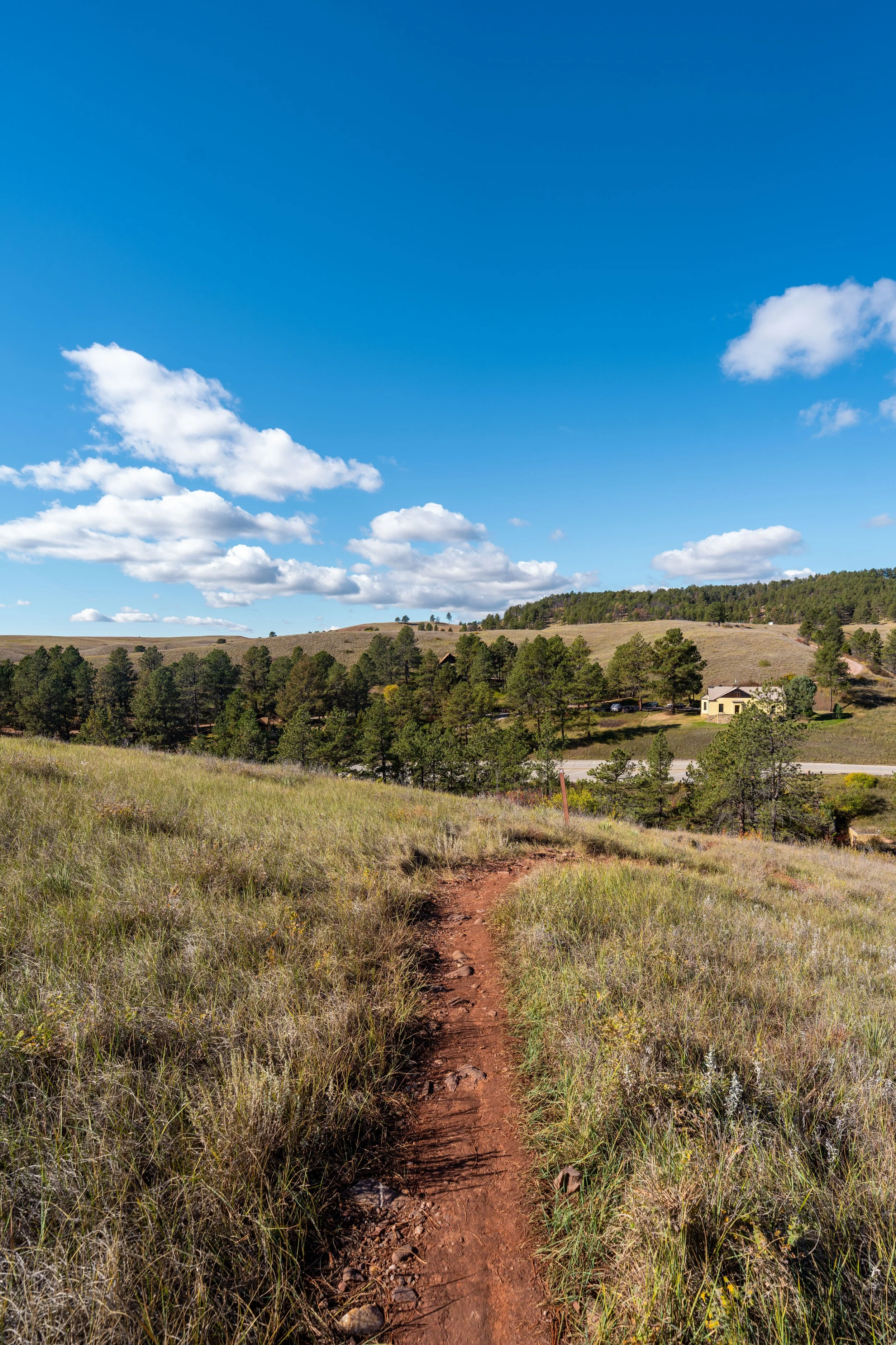
Parking for the Sanctuary Trail is located in a small parking lot directly off Highway 87, just 0.9 miles (1.4 km) north of the turn up to the much more popular Rankin Ridge Trail.
Google Maps Directions: Sanctuary Trailhead
Hiking Checklist - Wind Cave
Here is a complete list of must-have things that you will want for any hike in Wind Cave National Park.
Hiking the Sanctuary Trail
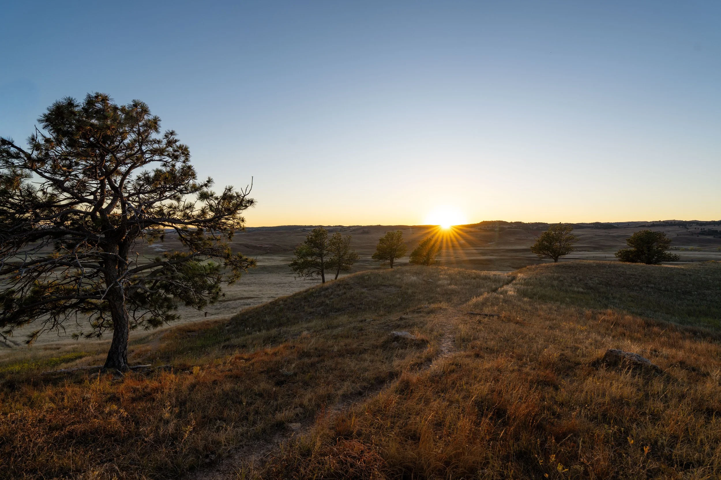
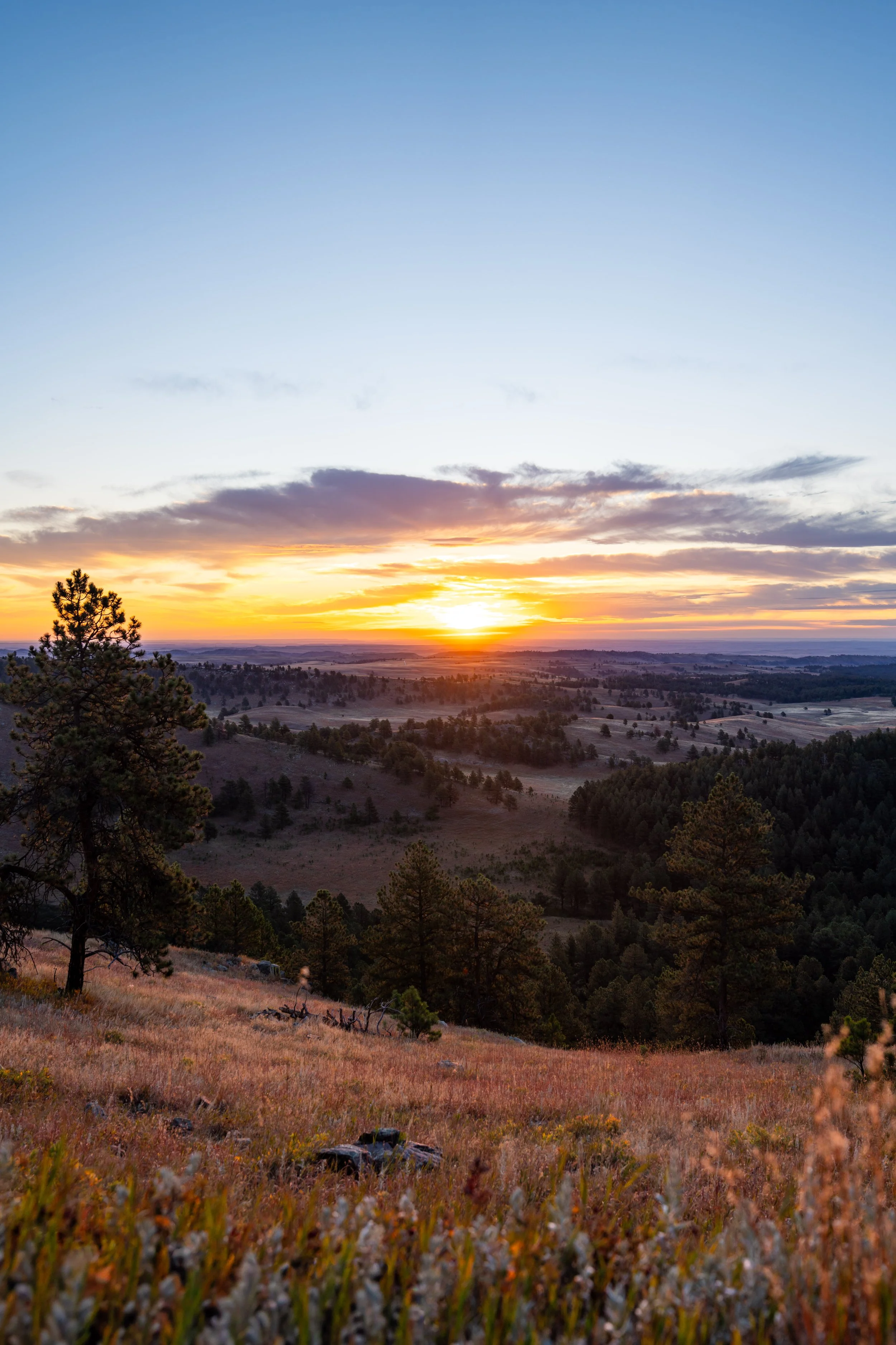
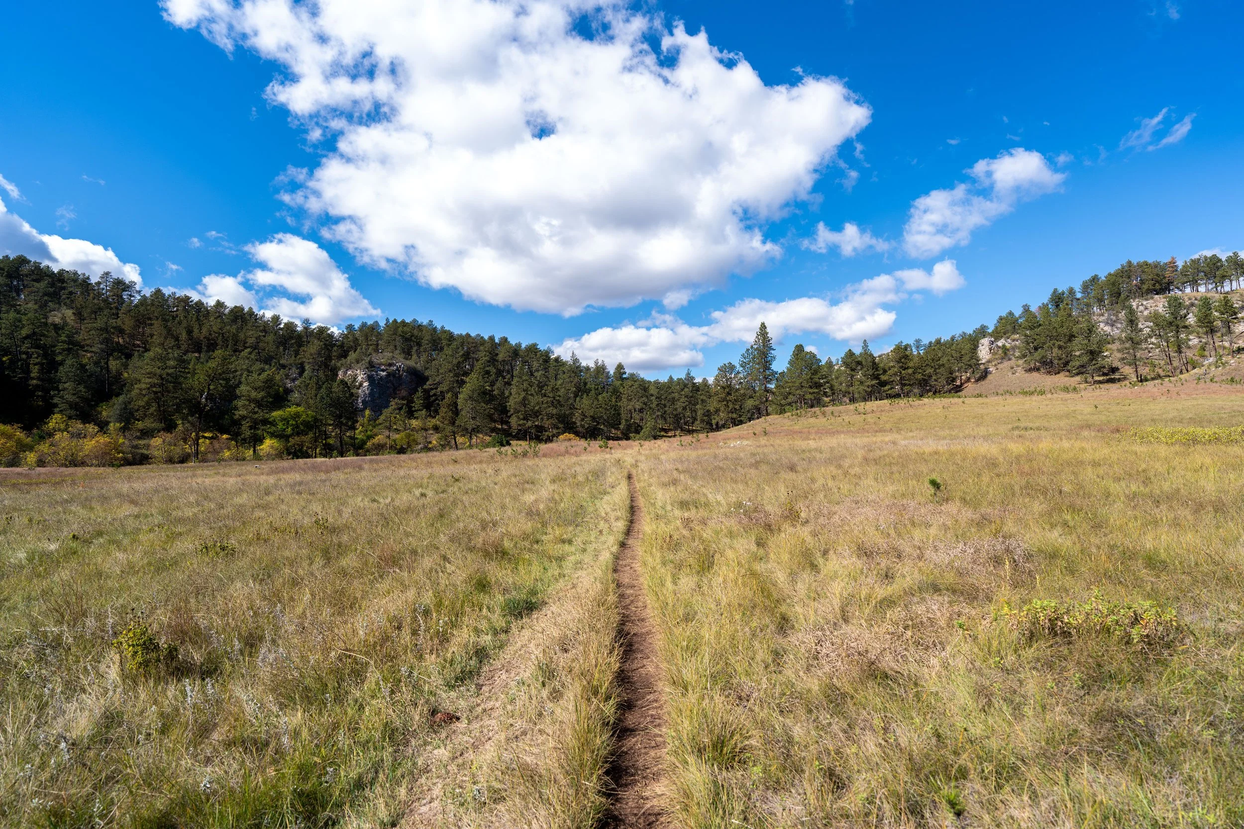
The Sanctuary Trail begins on the northernmost slopes of Rankin Ridge, where the trail curves around the steepest sections to start heading south into the Wind Cave backcountry.
For this reason, the Sanctuary Trail is one of the flatter day hikes in the Wind Cave backcountry, as there is only about 265 ft. (81 m) of elevation change from this point to the Highland Creek Trail, which is essentially negligible over the 3.7 miles (6.0 km) to get there.
When the Sanctuary Trail breaks out of the Ponderosa forest, the trail will begin curving around Rankin Ridge, with views opening up toward the summit and the fire lookout at the top about halfway into the hike.
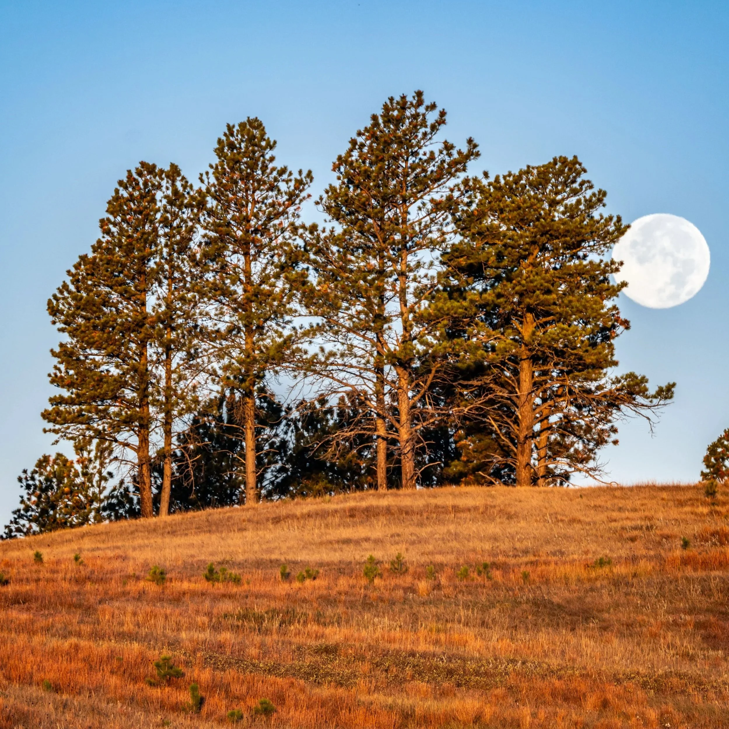
The one thing I hope these photos show more than anything else is that there is very little shade on the Sanctuary Trail, which is true for most of the day hikes across the open prairies in Wind Cave National Park.
This is why I highly recommend hiking the trail in a hooded sun shirt, as one will certainly be useful here and for countless other adventures across the Black Hills in western South Dakota.
This is where the Sanctuary Trail more noticeably starts to head south around Rankin Ridge toward the Centennial Trail.
On the far side of the treeline in the distance, the summit of Rankin Ridge can be seen for the first time, which is a nice sign that you’re approaching the halfway point between the trailhead and Highland Creek—not the Centennial Trail.
This is about as steep as it gets on the Sanctuary Trail, but hilly sections like this never last long!
At the top of the hill, the Sanctuary Trail begins some of the flattest sections of the hike, which continue well beyond the Centennial Trail junction.
This is roughly the halfway point on the Sanctuary Trail, which is conveniently marked by the summit of Rankin Ridge and the fire lookout becoming visible to the right of the trail (west).
When the Sanctuary Trail reaches this unnamed creek, there are a few options to consider.
First, the official Sanctuary Trail crosses over the creek to continue following the trail markers on the far side, but some opt to stay on the east (left) side of the creek for a little longer and meet the Sanctuary Trail up ahead.
Either way, both routes meet again, as you can see below.
So long as the Bison haven’t knocked over the trail markers, the official Sanctuary Trail is fairly easy to follow until the two sides meet again.
This is Western Poison Ivy, which is very common in Wind Cave National Park and the greater Black Hills area.
That said, it’s highly recommended that you learn to identify it if you plan to do any hiking here or elsewhere across western South Dakota.
This is where both the official route and the social route across the unnamed creek come back together.
At this split, go left to continue on the Sanctuary Trail toward the Centennial Trail junction shortly ahead.
Sanctuary-Centennial Junction
After 2.2 miles (3.5 km), the Sanctuary Trail crosses the Centennial Trail, which is the only marked junction prior to the Highland Creek Trail at the very end.
Furthermore, this four-way intersection may seem confusing because the Sanctuary Trail between the Centennial Trail and the Highland Creek Trail is not hiked all that often. This is why the next 0.25 miles (0.4 km) are some of the more wide open or vague sections of the hike, similar to the middle of the East Bison Flats Trail.
That said, go straight (slightly left) at this junction to continue on the Sanctuary Trail, noting that the more obvious paths from this junction follow the Centennial Trail toward the Lookout Point Loop.
After the Centennial junction, the Sanctuary Trail becomes a bit harder to follow, meaning the trail markers are the best way to stay on track—that is, if the Bison haven’t knocked them down!
My best advice through this section is to simply hike toward the hill and the gap in the trees straight ahead to the right.
This is where the flat sections past Rankin Ridge start to come to an end, though it’s really a stretch to call the Sanctuary Trail hilly.
The top of the hill is where the Sanctuary Trail starts to become much more defined once again.
Once again, I cannot stress the importance of wearing a hooded sun shirt on the Sanctuary Trail—especially if you plan to hike farther upon reaching the Highland Creek Trail.
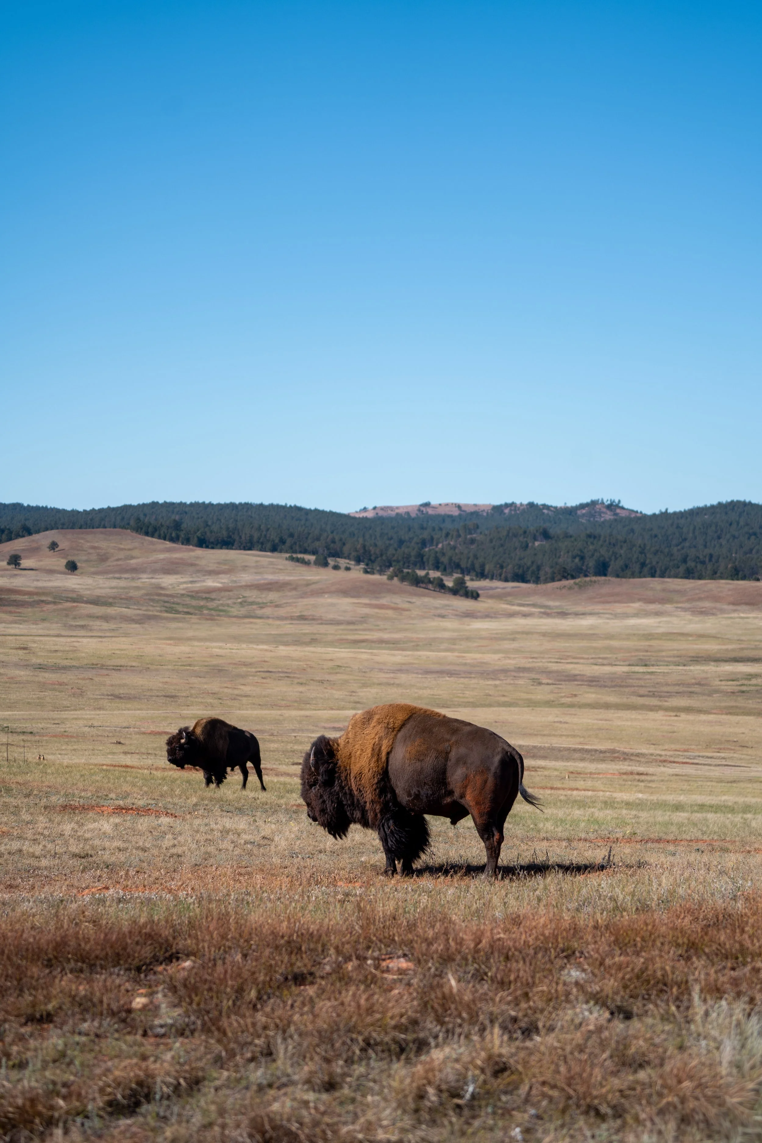
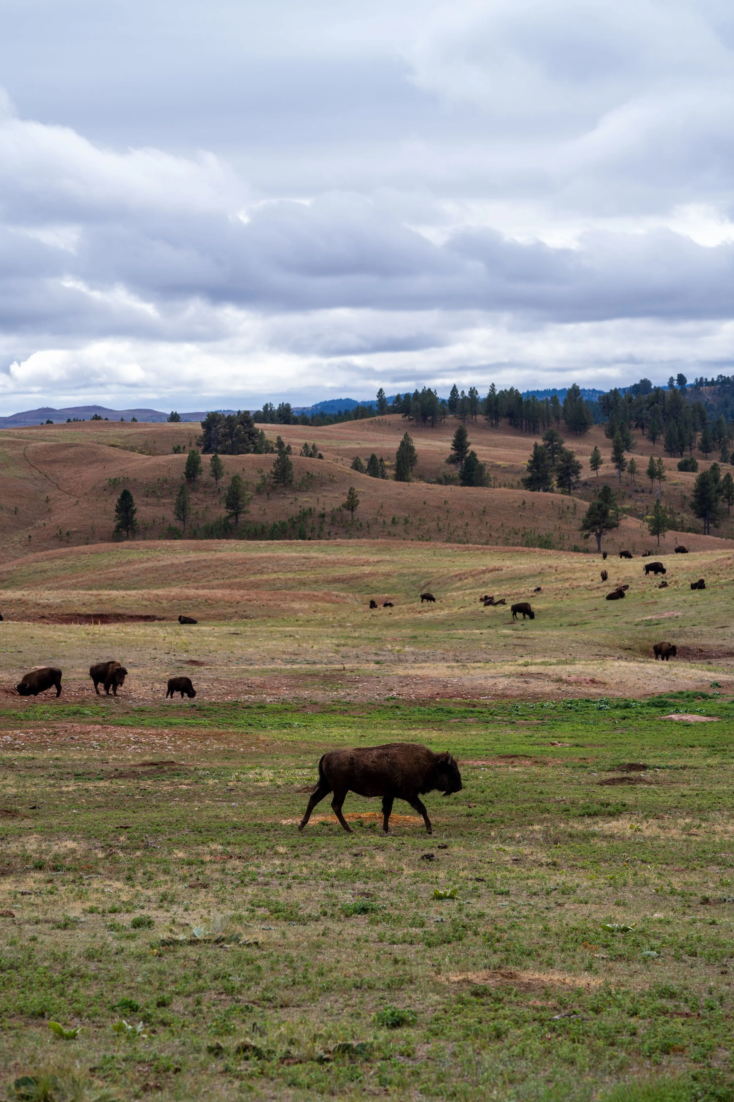
Why is There a Fence Between the Bison in Wind Cave National Park and Custer State Park?
To the blind eye, seeing a fence separate the Bison you see on Wildlife Loop Road and Wind Cave National Park may seem counterintuitive, but it all comes down to one thing: genetics!
According to the National Park Service, there are only two Bison herds in the United States with truly pure American Bison genes. They are the herds in Wind Cave National Park and Yellowstone National Park, a standard that not even the adjacent herds in Grand Teton National Park can live up to.
This is a result of Bison in North America being hunted from the tens of millions prior to the 1800s down to numbers in the hundreds by the 1880s. To try to fix the problem, private herd owners bred Bison and cattle together, which is where cattle genes that appear in the Bison genome come from today.
Following these disorganized conservation efforts, some of these herds were subsequently relocated to public lands, which is why cattle genes have spread and are found in populations across parks today.
However, there are a few herds that reflect the genome of what the American Bison once was, which is why the herd in Wind Cave National Park is so special and rare!
When the Sanctuary Trail begins to curve around this hill, to the left of the trail, there are only 0.3 miles (0.5 km) left before the Highland Creek Trail.
Sanctuary-Highland Creek Junction
After 3.7 miles (6.0 km), the Sanctuary Trail ends at this junction with the Highland Creek Trail.
From here, the best and shortest option to return is to simply turn around and hike back to the Sanctuary Trailhead off Highway 87.
Alternatively, the Highland Creek Trailhead is located 3.3 miles (5.3 km) to the north of this junction, and the first Lookout Point junction is located 2.4 miles (3.9 km) to the south of this junction.
To learn more about hiking farther, I recommend checking out my separate Highland Creek article linked below, and note that you can easily skip around to different parts of the hike by using the pop-up bubble in the right-hand corner of the page.
Read My Separate Post: Highland Creek Trail