Hiking the Rankin Ridge Trail in Wind Cave National Park
Distance: 1.1 miles / 1.8 km
The Rankin Ridge Trail, also called the Rankin Ridge Nature Trail, in Wind Cave National Park is a short and easy loop trail with beautiful east-facing panoramic views that overlook much of the Wind Cave backcountry!
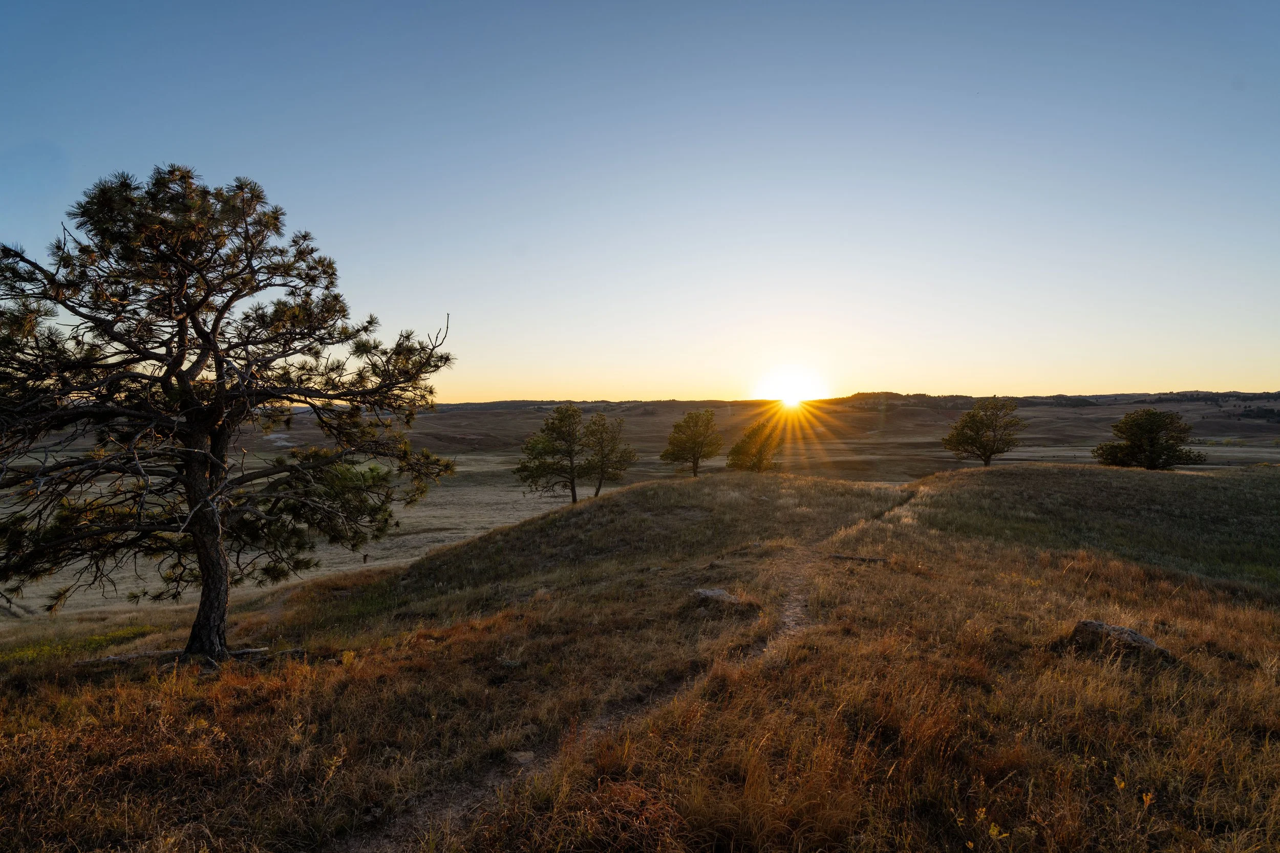
For this reasons, the Rankin Ridge Trail is the best sunrise hike in Wind Cave National Park, just as Boland Ridge is the best sunset hike, located a few miles down the road.
That said, the summit of Rankin Ridge—the highest peak in Wind Cave National Park—is also marked by a prominent historic fire lookout that can be seen for miles around, similar to the Custer Peak Trail in the northern Black Hills, all making the full loop one of the best things to do outside of the cave tours near the visitor center!
U.S. National Park Pass
There is no entrance fee to visit Wind Cave National Park.
However, entrance fees are collected at Badlands National Park and Devils Tower National Monument, which is why I recommend purchasing your National Park pass in advance before traveling to the Black Hills.
Rankin Ridge Trailhead Parking
Parking for the Rankin Ridge Trail is located in a small parking lot at the end of Rankin Ridge Road, about 0.3 miles (0.5 km) up the hill from Highway 87.
That said, the drive up to the trailhead is what makes the Rankin Ridge Trail so easy, as it cuts out the vast majority of the elevation that would have to be hiked if the trailhead were lower on the mountain.
Google Maps Directions: Rankin Ridge Trailhead
Hiking Checklist - Wind Cave
Here is a complete list of must-have things that you will want for any hike in Wind Cave National Park.
Hiking the Rankin Ridge Trail
The Rankin Ridge Trail can begin at either the trailhead shown here or the gate for the road to the fire lookout just to the right.
If you’re starting the hike for sunrise, I recommend beginning at the gate to hike the Rankin Ridge Loop counterclockwise, as this is the shortest route to some of the best east-facing views up on the ridge.
However, if you’re not hiking Rankin Ridge for sunrise, I recommend hiking in the clockwise direction around the loop because it makes for such a quick and easy return hike on the road after hiking the trail up to the fire lookout.
This is Western Poison Ivy, which is very common in Wind Cave National Park and the greater Black Hills area.
That said, it’s highly recommended that you learn to identify it if you plan to do any hiking here or elsewhere across western South Dakota.
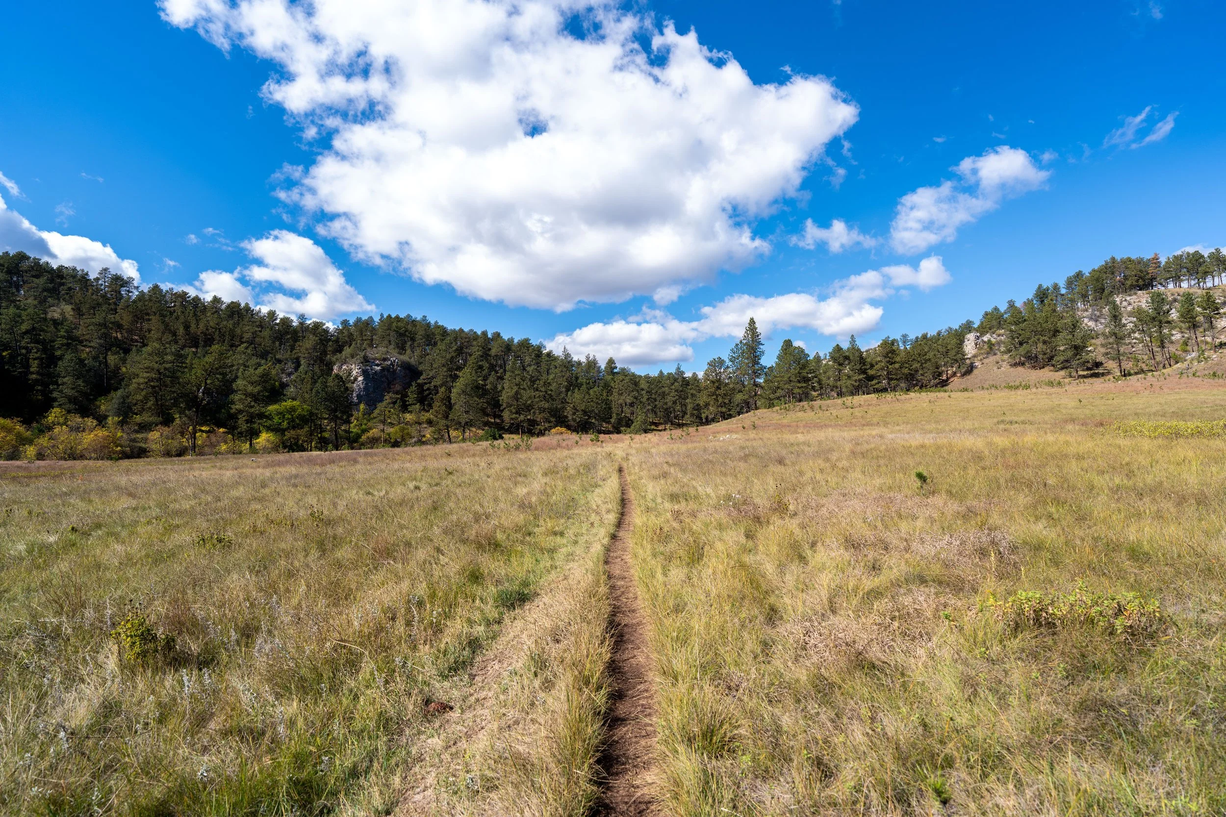
Unlike most of the day hikes that span the wide-open prairie across Wind Cave National Park, the trail markers on the Rankin Ridge Trail do not indicate which trail you’re following.
Rather, these numbers change the higher the trail climbs, as they actually mark the different sites along the Rankin Ridge Nature Trail, which hikers can follow using the trail guide linked below.
Download: Rankin Ridge Trail Guide
From the trailhead to the fire lookout at the summit, the Rankin Ridge Trail gains roughly 250 ft. (76 m) in about 0.5 miles (0.8 km), meaning the elevation gain is roughly identical from either direction.
This is the view looking northwest toward the heart of the Black Hills.
Just before the Rankin Ridge Trail reaches the crest of the ridge, the trail heads up a few sets of stairs, which are the steepest parts of the entire hike, though they doesn’t last very long.
This is where the Rankin Ridge Trail reaches the top of the ridge and where it sharply turns to the south toward the fire lookout, about 0.1 miles (0.2 km) away from this point.
This is where the Ranking Ridge Fire Tower can be seen for the first time through the trees!
Rankin Ridge Fire Lookout
Standing at an elevation of 5,010 ft. (1,527 m), according to the USGS, the summit of Rankin Ridge is the highest natural point in Wind Cave National Park, marked by a 1950s-era fire lookout that was named in honor of William A. Rankin, the first superintendent of Wind Cave National Park.
Today, the fire lookout is no longer regularly staffed due to advances in wildfire detection and reporting technology. However, it is still not open to the public, as the National Park Service still reports using it at times, particularly during periods of extreme fire danger and following intense electrical storms.
After the fire tower, the Rankin Ridge Trail begins descending Rankin Ridge Road back to the beginning, about 0.5 miles (0.8 km) away.
Anywhere between the fire lookout at the summit and the turn back toward the west makes for a great place to catch the sunrise on Rankin Ridge, as I don’t believe there is one specific spot that’s better than another along this stretch.
These views to the east look toward the Sanctuary Trail, with the Centennial Trail and the Highland Creek Trail located in the distance beyond.
This is where the Rankin Ridge Trail turns to the west to head back down to the trailhead, about 0.2 miles (0.3 km) from this point.
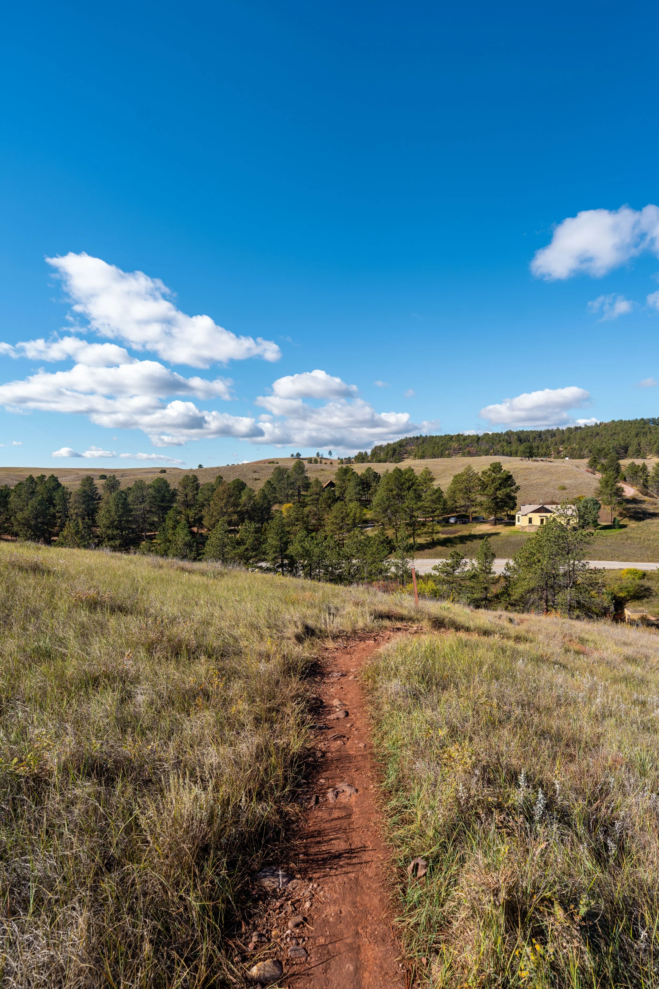
Rankin Ridge Trailhead
This is where the Rankin Ridge Trail returns to the parking area, which is also the trailhead I recommend beginning at if you’re hiking up for sunrise, as some of the best views can be reached in just 0.2 - 0.3 miles (0.3 - 0.5 km).