Hiking the Norris Geyser Basin Trail in Yellowstone National Park
Distance: 2.9 miles / 4.7 km
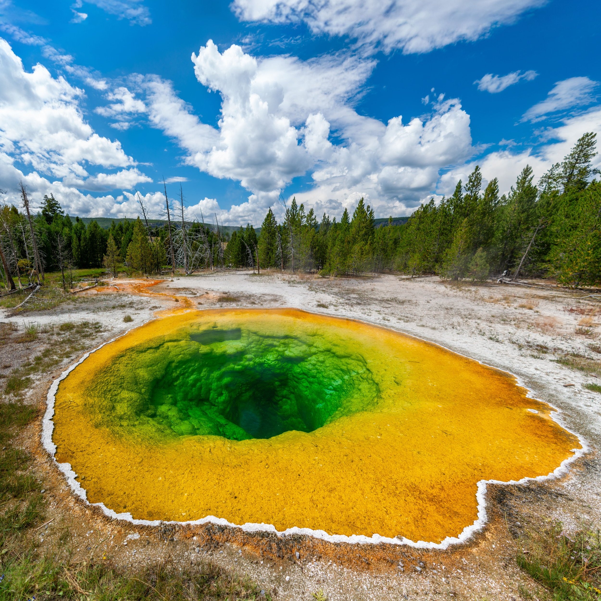
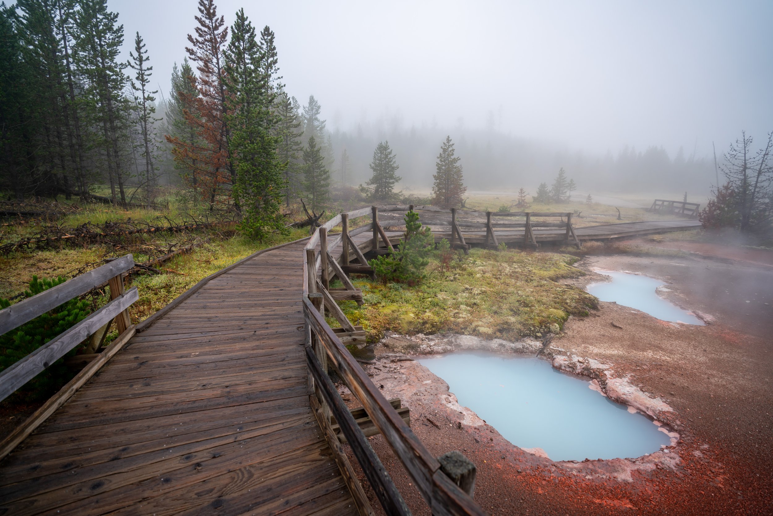
Encompassing nearly 3.0 miles (4.8 km) of boardwalks and trails, the Norris Geyser Basin in Yellowstone National Park is one of the largest thermal areas that visitors can explore!
That being said, there are 193 individual geysers found throughout the Norris Basin, which can seem overwhelming to try and see them all—especially because the Norris Geyser Basin Trail is not laid out with one easy direction to follow.
However, there is one best route to hike in order to see the best of the Norris Geyser Basin, while avoiding repeating sections previously hiked, and that is exactly the route shown in this post.
Norris Geyser Basin Trailhead Parking
Since the Norris Geyser Basin is so popular, I recommend arriving first thing in the morning to not only enjoy the boardwalks with fewer people but also to find parking without issue.
By mid-morning on most nice summer days, the parking lot will fill completely, meaning the best way to find a spot may be waiting for someone else to leave.
Additionally, the warning sign below is not for theft; rather, when the elusive Steamboat Geyser erupts, it can damage vehicles parked at the trailhead.
Google Maps Directions: Norris Geyser Basin
Hiking Checklist - Yellowstone-Tetons
Here is a complete list of must-have things that you will want for any hike in the Yellowstone-Teton area.
Hiking the Norris Geyser Basin Trail
If you take my recommendation and hike through the Norris Geyser Basin early in the morning, then hiking with bear spray is more necessary than busier times of the day.
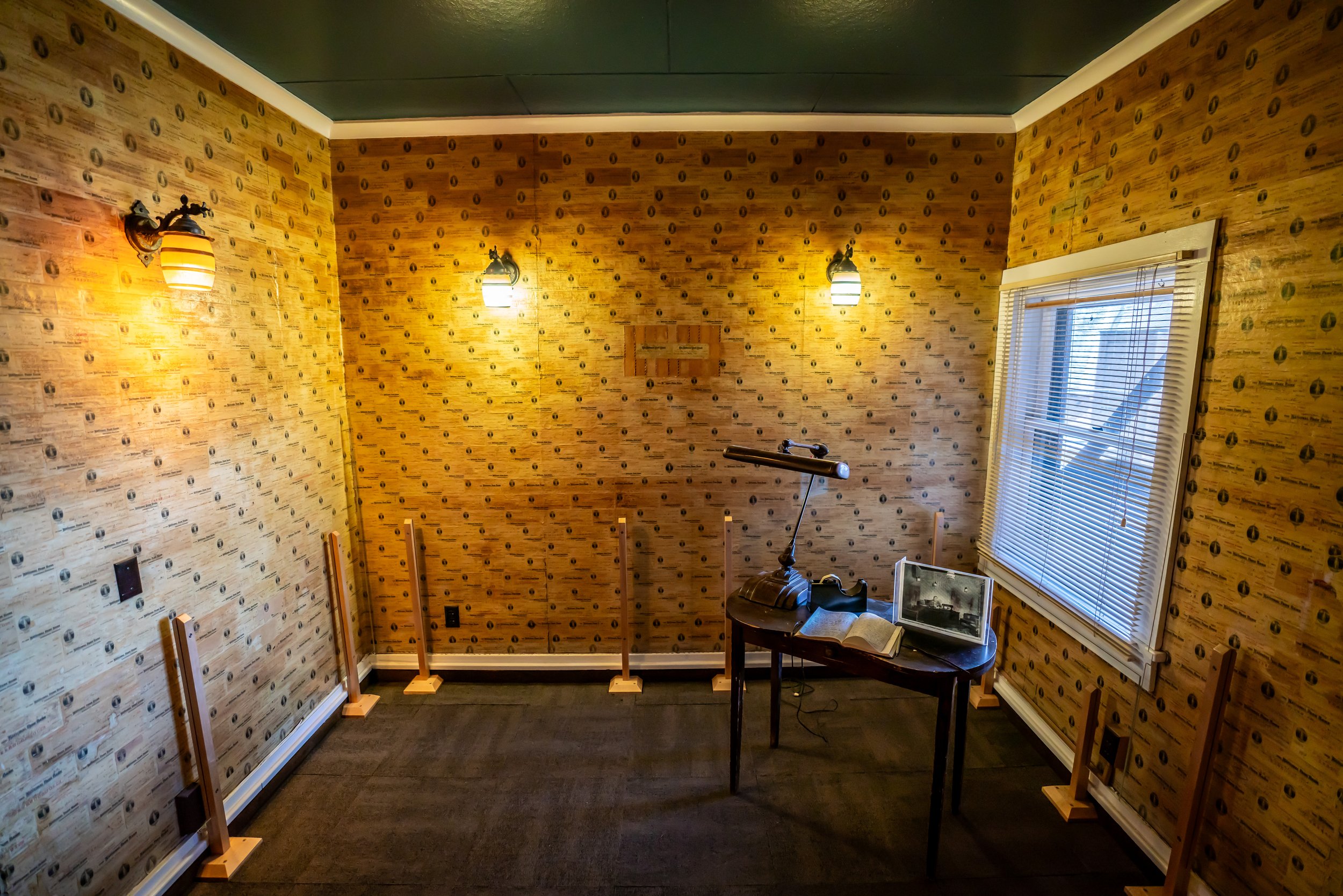
Norris Geyser Basin Museum & Book Store
Initially, the trail passes by the Norris Geyser Basin Museum and Book Store, which is where you’ll need to decide whether to hike through the Black Sand or Porcelain Basin first.
I chose the Bland Sand Basin, which is where the infamous Steamboat Geyser is located.
Black Basin
The most typical way to hike the Black Sand Basin Loop is by going left toward the Steamboat Geyser first.
This is also the most seamless way to continue on to the Porcelain Basin without having to backtrack toward the museum.
Steamboat Geyser
The date on the sign occurred more than two months before this visit, but there must have been some lucky visitors that got to see this elusive eruption!
After the boardwalk descends down to the bottom of the basin, I highly recommend going left, as the trail to the right skips most of what there is to see at the bottom of the Black Sand Geyser Basin.
There are a few pools and geysers to see on this short stretch, but they are very easy to visit on the hike back out.
If accessibility is a concern, note that the boardwalks through the Black Sand Basin are not continuous.
On the far side of the Black Sand Basin Loop, the trail meets back up with the shortcut that I mentioned earlier.
If you’re interested in seeing the rest of the Black Sand Basin, go right, as it’s a fairly short out-and-back walk to see the remaining geysers and pools.
Porcelain Basin Junction
At the end of the Black Sand Basin Loop, the trail seamlessly continues on to the smaller side of the Norris Geyser Basin known as the Porcelain Basin.
At the split in the photo below go left for the Porcelain Geyser Basin, which is also the shortest way back to the parking area.
Porcelain Basin
At the next split, the trail descends down to the Porcelain Basin on the left, and the Norris Geyser Basin Museum can be found on the right.
If you’ve followed the trail the same way as I have shown in this post, I recommend going left first for the best and easiest route through the Porcelain Basin without too much backtracking, if at all.
On the far side of the Porcelain Basin, you can either go straight to hike the shortest route back to the museum or left to see most of the remaining thermal features.
I chose to go left.
This right turn completes the loop back to the Norris Geyser Basin Museum.
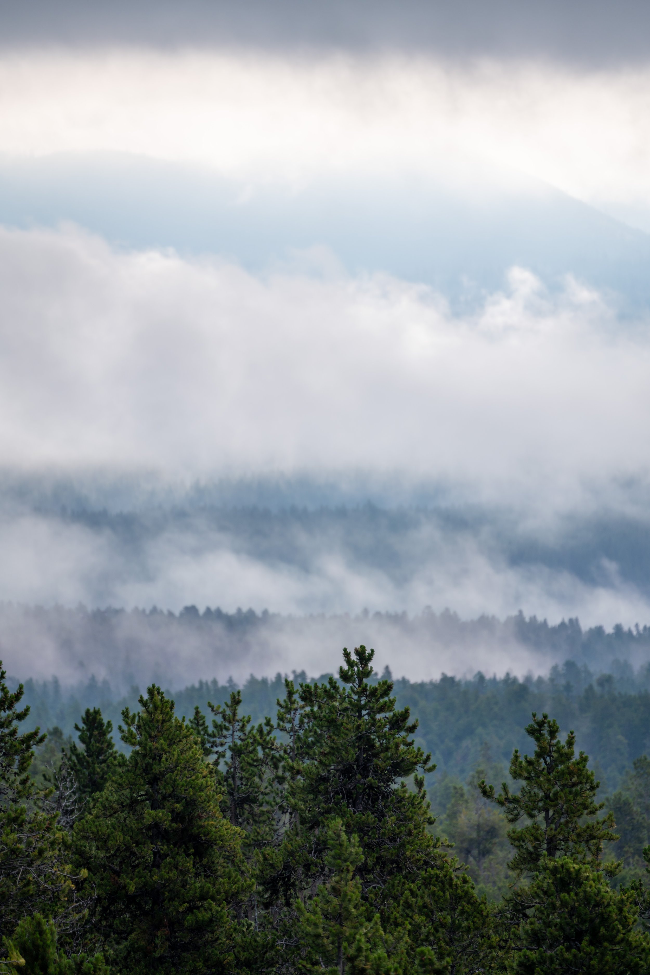
Even on a morning in mid-August, the trees were already starting to see frost!


