Hiking the Observation Point Trail in Yellowstone National Park
Distance: 1.6 - 1.9 miles / 2.6 - 3.1 km
The Observation Point Trail in Yellowstone National Park is one of the best and most underrated day hikes in the Upper Geyser Basin, as Observation Point can be a great way to enjoy Old Faithful without the crowds!
By this, I mean that Old Faithful is notorious for being the busiest and most popular geyser in Yellowstone National Park. However, what many visitors don’t think to do is time the eruption with a hike up to Observation Point.
It is here—from the upper viewpoint—that Old Faithful can best be seen and enjoyed, with just a fraction of the people who gather on the boardwalks surrounding the geyser on a typically busy summer day.
Upper Geyser Basin Trailhead Parking
Parking for Old Faithful/ Upper Geyser Basin can be in any number of parking areas surrounding the geyser.
This is because everything from the Old Faithful Inn to the Old Faithful Lodge are all within a short walking distance of the boardwalk where the hike begins.
Google Maps Directions: Upper Geyser Basin (Old Faithful)
Hiking Checklist - Yellowstone-Tetons
Here is a complete list of must-have things that you will want for any hike in the Yellowstone-Teton area.
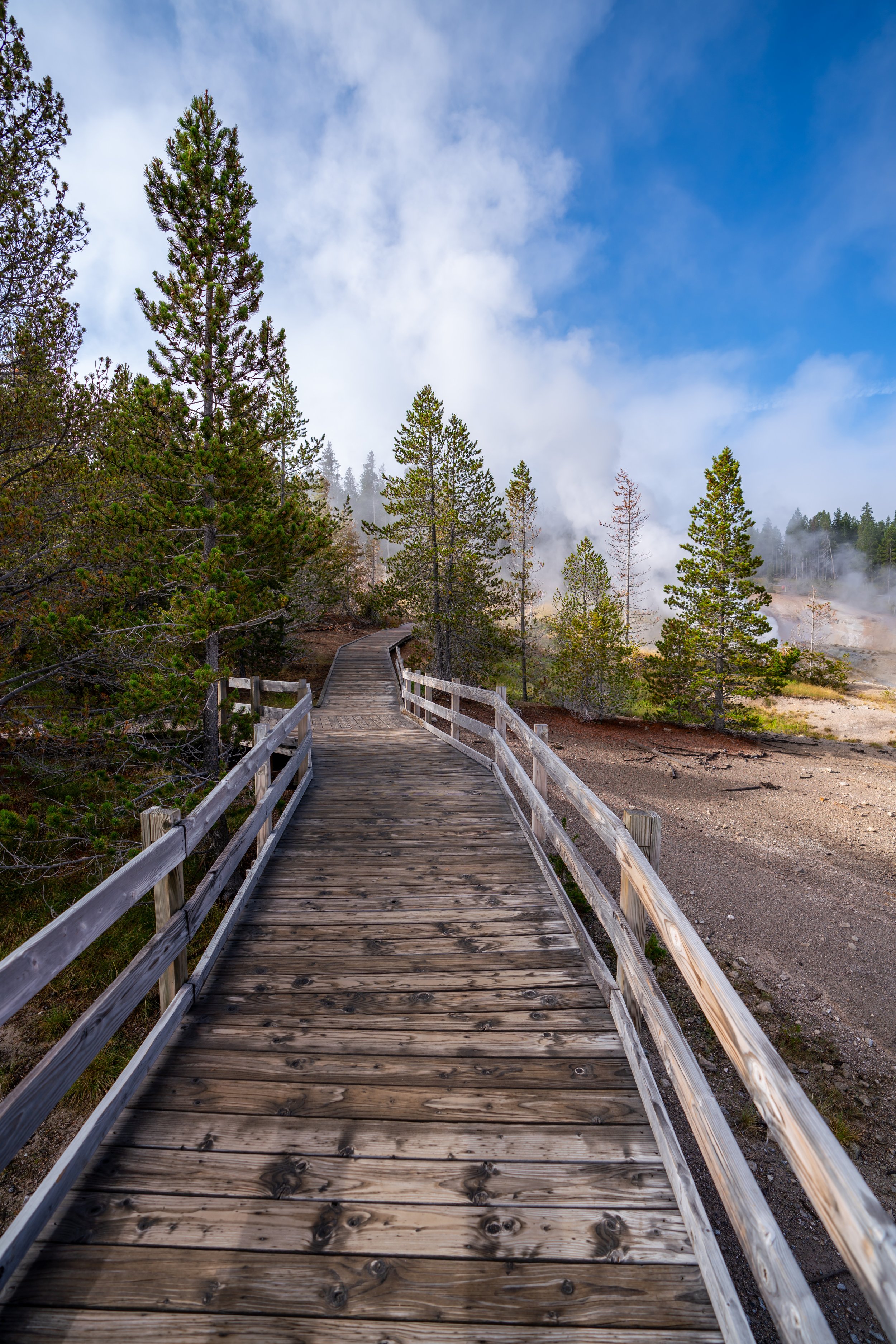
Hiking the Observation Point Trail
From whichever area you park, walk to the far side (right side) of Old Faithful Geyser to reach the Upper Geyser Basin Trailhead.
On a different note, I think it’s important to point out that this is the amount of people surrounding the Old Faithful, which was taken about 20-25 minutes prior to the eruption.
Observation Point (Upper Geyser Basin) Trailhead
When you reach the Upper Geyser Basin Trailhead, go right.
The Observation Point Trailhead will be located shortly after crossing the Firehole River.
Observation Point Junction
After the Firehole River, turn right to begin the Observation Point Loop Trail.
This is also where the trail begins gaining the roughly 200 ft. (61 m) of elevation gain from this junction to the overlook.
Regardless of the trail’s length, hiking with bear spray is a necessity. During my visit, it was made abundantly clear before beginning the hike that there was a grizzly with two cubs roaming the area.
Obviously, this will not always be the case, but I think it’s important to note that the amount of people in the Old Faithful area doesn’t necessarily keep the bears away.
Observation Point-Solitary Geyser Junction
At about 0.6 miles (1.0 km), the trail splits, with both the return loop leading to the Solitary Geyser and the Observation Point Trail to the right.
That said, go right to reach Observation Point, but note that it is because of the loop that can be created with the Solitary Geyser that the distance on the Observation Point Trail can vary, depending on whether you decide to hike out and back or the full 1.9-mile (3.1 km) loop.
Observation Point Loop Trail
At this point, you can either continue straight or turn left to hike up the Observation Point Loop from either direction.
Personally, I continued straight, as this is the most common direction to hike the loop trail.
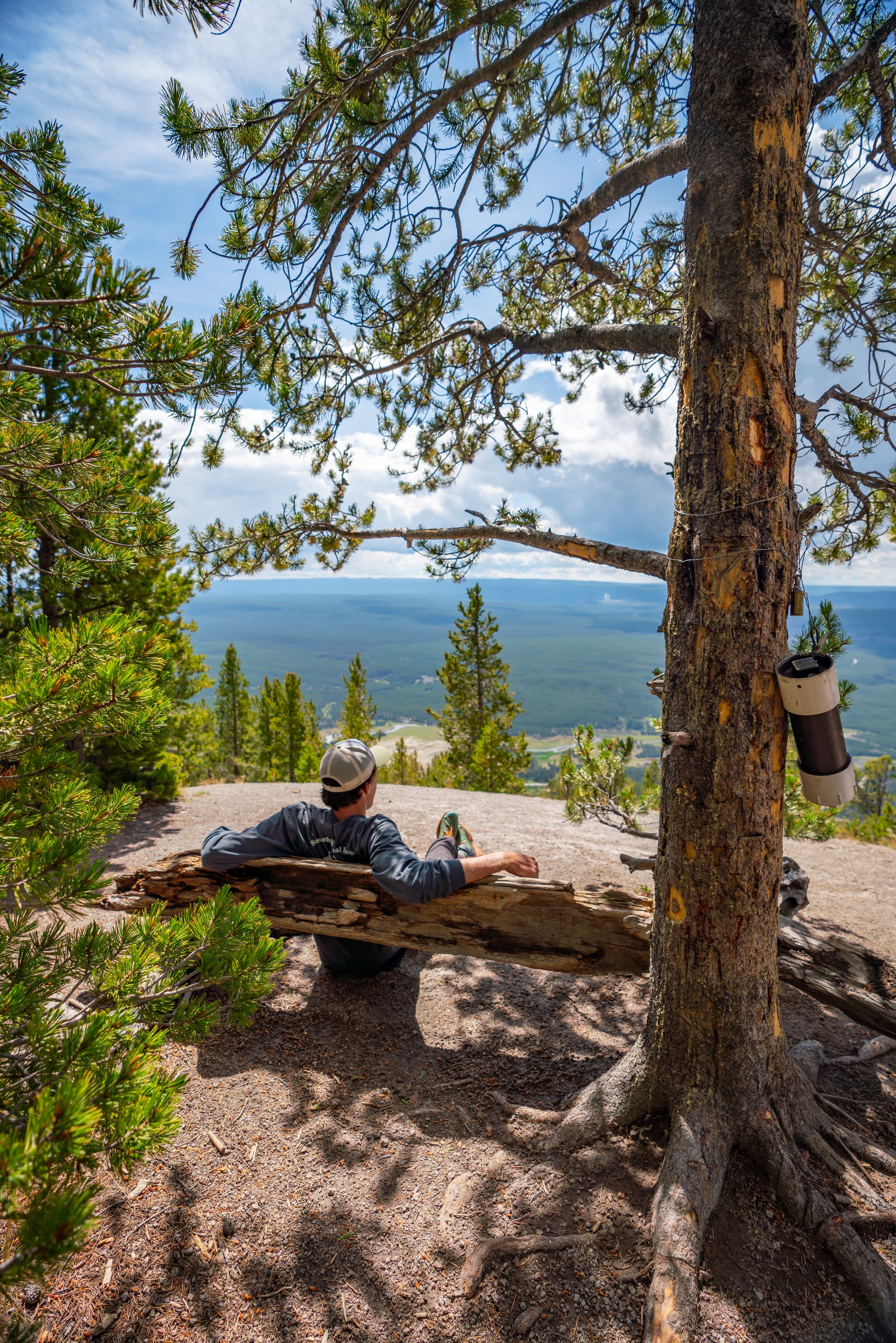
Observation Point
When I watched this eruption during the busy summer season, there was only a handful of groups watching Old Faithful from Observation Point, making the experience much nicer than the crowded boardwalk below.
Past Observation Point, the loop continues down to the two original splits from earlier.
Here, you can either return back down to Old Faithful and the beginning of the Upper Geyser Basin or continue on to Solitary Geyser.
Observation Point-Solitary Geyser Junction
At the same junction from earlier, I continued straight to hike the slightly longer return trail toward Solitary Geyser.
However, if you wanted to take the fastest trail back, turn left to re-hike the same trail as shown above.
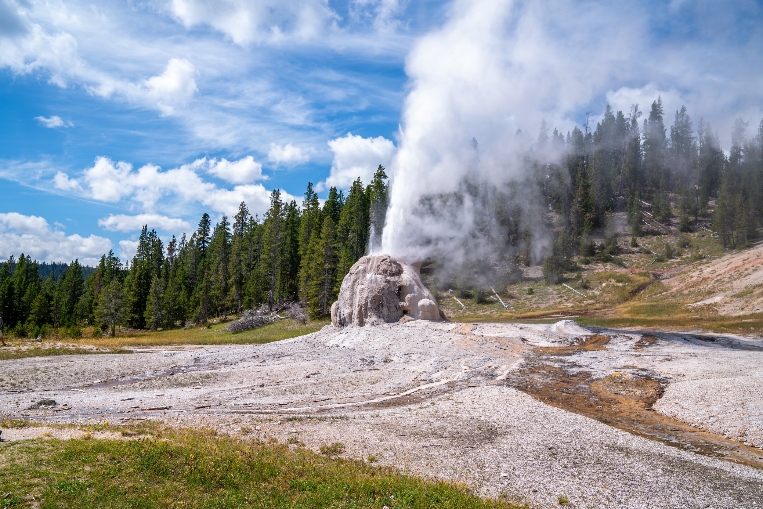
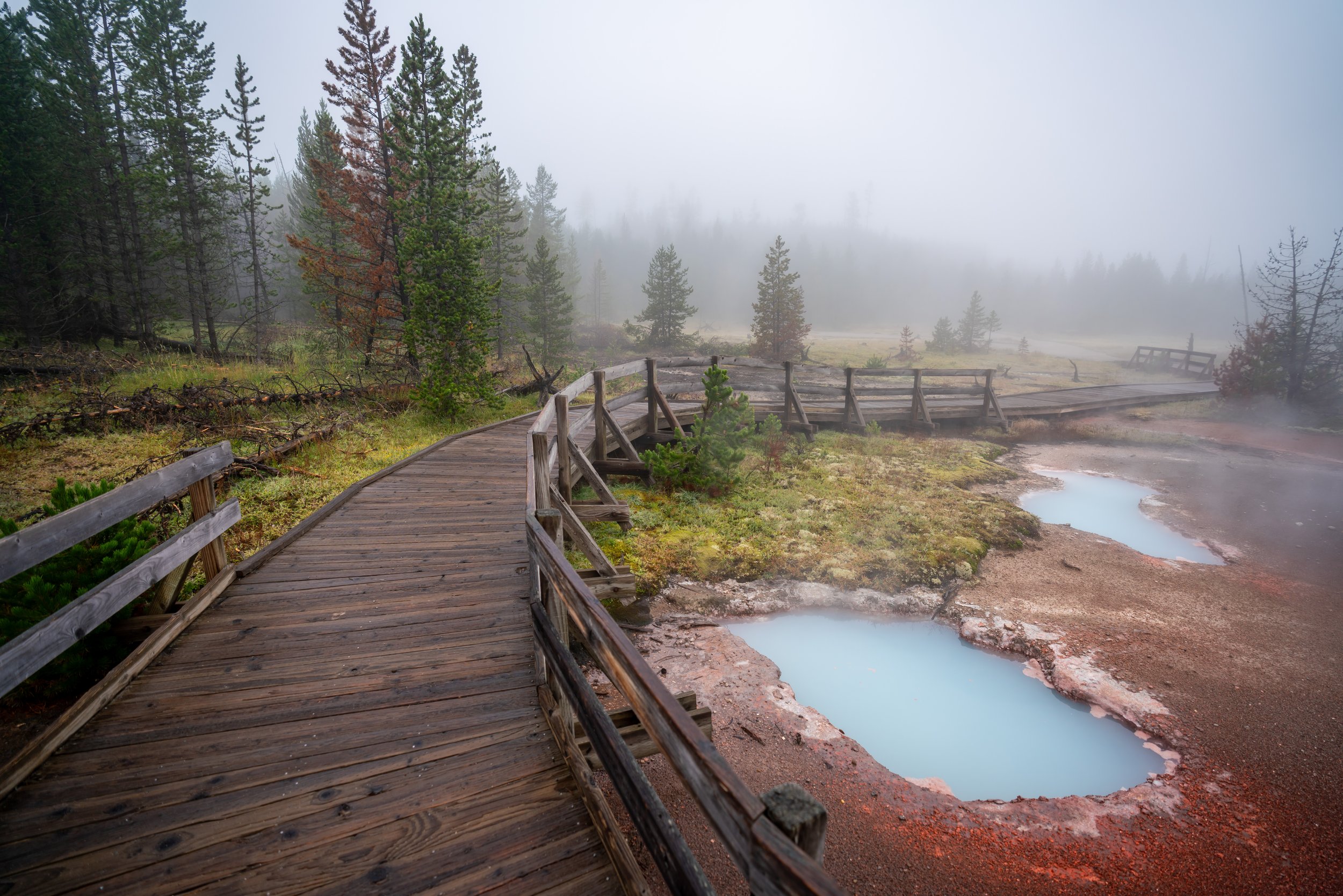
Solitary Geyser
From the junction shown above, Solitary Geyser is located only 0.3 miles (0.5 km) down the trail.
The hike back to the Upper Geyser Basin makes this hard left turn that can be easy to miss when you first arrive at the Solitary Geyser.
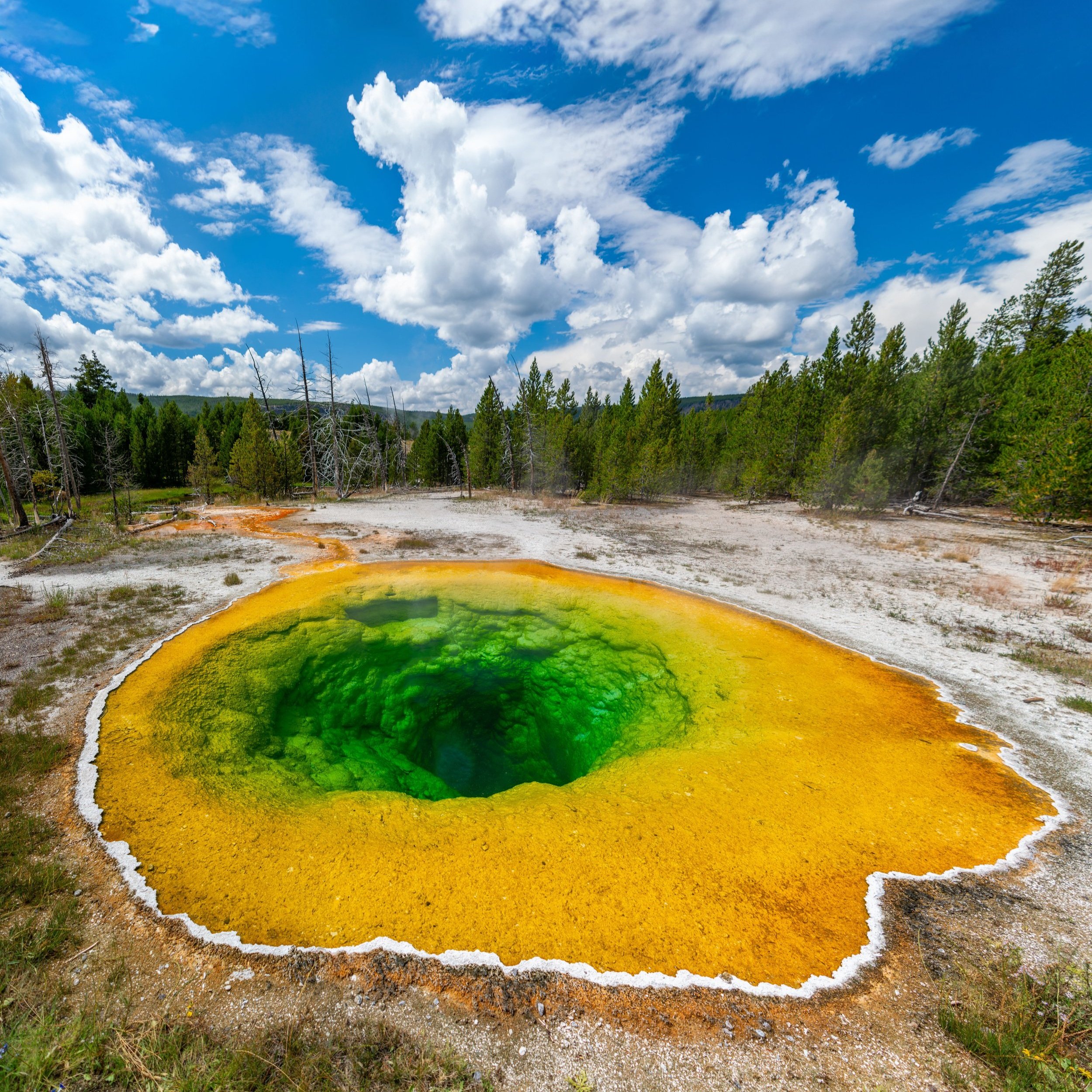
Upper Geyser Basin
Once back at the Upper Geyser Basin, you can either use the map to continue hiking through the basin or return to the trailhead by going left at the split shortly ahead.