Hiking Mt. Washburn via Chittenden Road in Yellowstone National Park
Distance: 5.6 miles / 9.0 km
Elevation Gain: ~1,500 ft. / 457 m
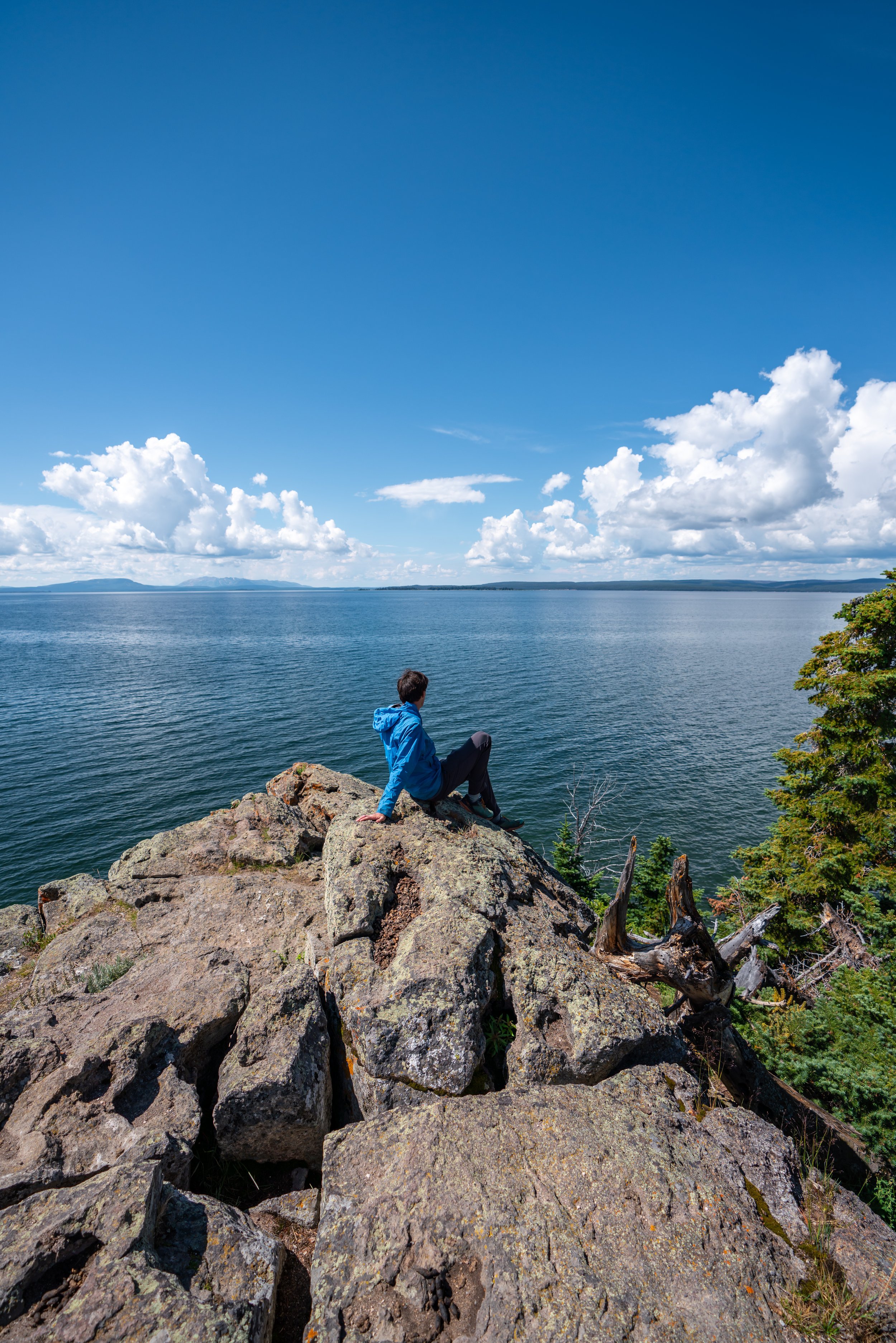
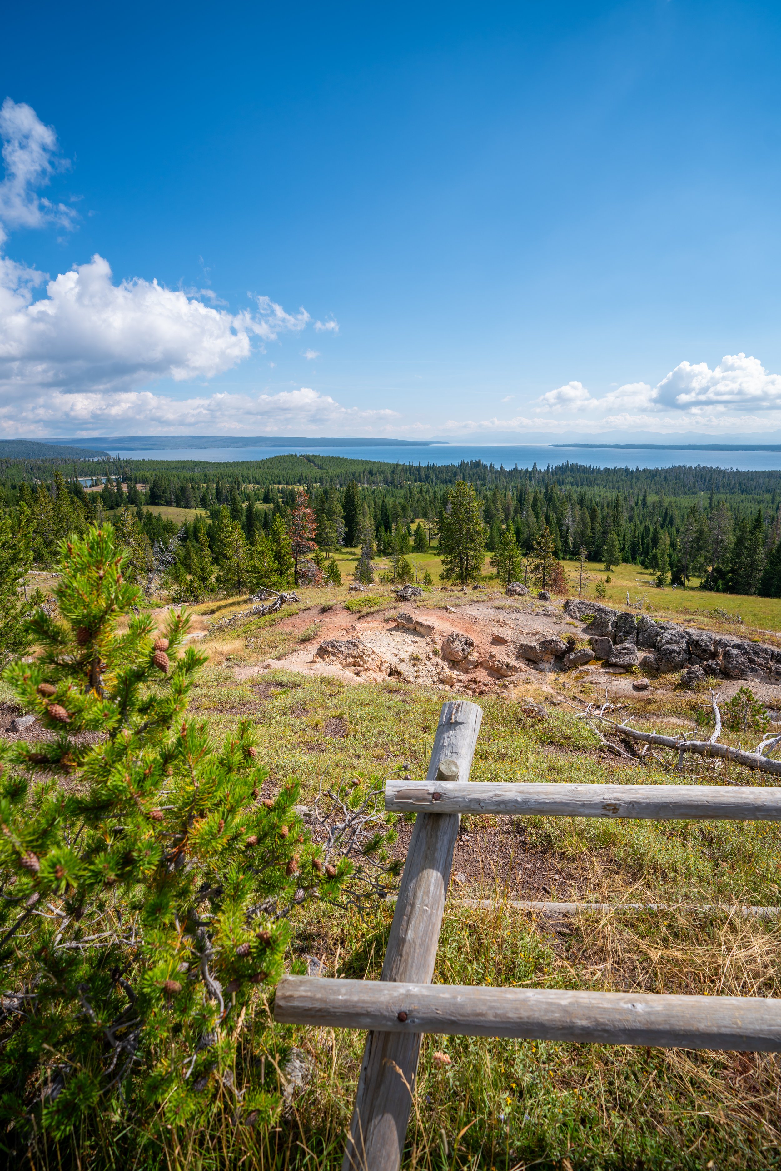
Mt. Washburn in Yellowstone National Park is a beautiful panoramic summit with stunning views of Lamar Valley and the Beartooth Mountains to the north, Yellowstone Lake to the south, and much of the park’s vast wilderness in all directions of the peak!
That said, there are three routes up to the summit of Mt. Washburn, with the two most popular being the South Mt. Washburn Trail via Dunraven Pass and the North Mt. Washburn Trail via Chittenden Road—which is what this article is about.
All this to say, Mt. Washburn via Chittenden Road is one of the best effort-to-reward hikes in all of Yellowstone National Park, thanks to how moderate the hike is for a trail that climbs above 10,000 ft (3,048 m).
In addition, Mt. Washburn is one of my personal favorites because the summit offers some of the best unobstructed 360º views across much of the park—making it one of the best sunset hikes in all of Yellowstone!

My Print - Mt. Washburn Sunset
Which Mt. Washburn Trail is Better?
If you’re trying to decide between the two most popular routes to the top of Mt. Washburn, know that the Mt. Washburn Trail via Dunraven Pass is much more like what you’d expect a typical trail to be, while Chittenden Road is more of a service road than a trail.
However, Chittenden Road is by far the easier route—notably because the trail is roughly 1.2 miles (1.9 km) shorter, although the elevation gain is nearly the same.
Mt. Washburn Trailhead Parking
Parking for the Mt. Washburn Trail via Chittenden Road is located about 1.3 miles (2.1 km) off the east side of the Grand Loop Road.
The parking lot is paved and very large, so there should never be any trouble finding a spot, especially if you are doing a sunrise or sunset hike.
Google Maps Directions: Mt. Washburn Trailhead
Hiking Checklist - Yellowstone-Tetons
Here is a complete list of must-have things that you will want for any hike in the Yellowstone-Teton area.
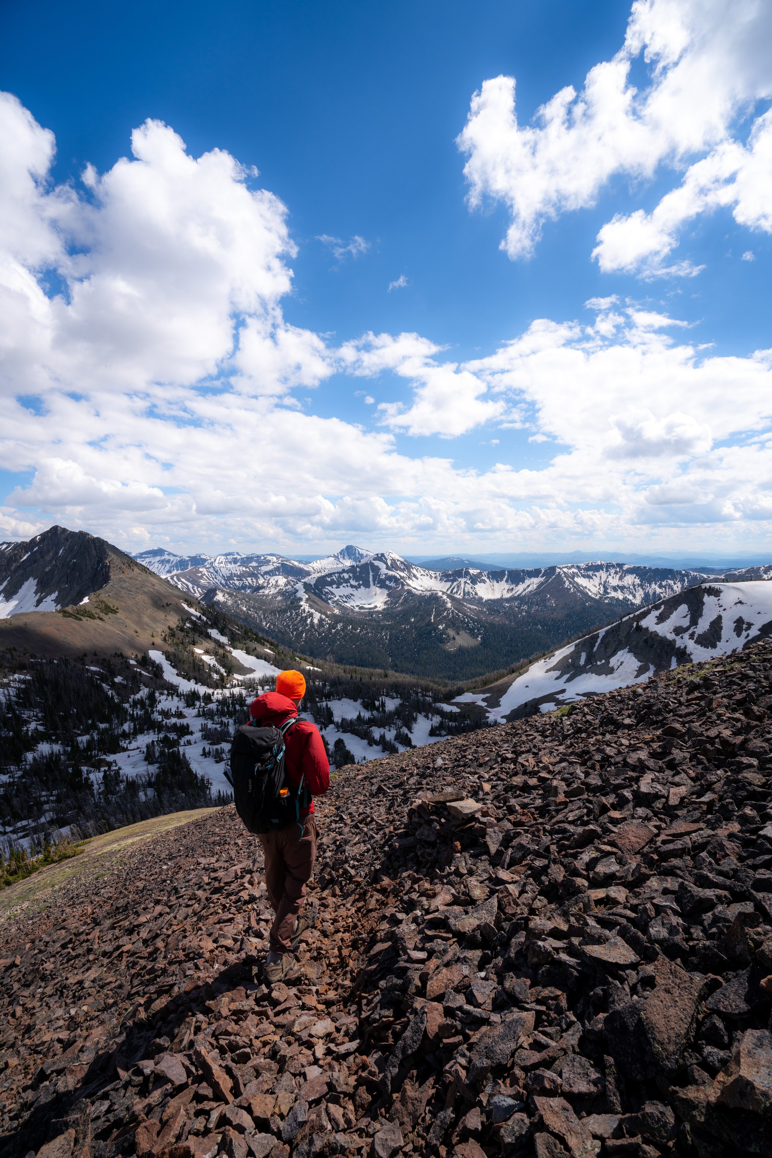
Hiking Mt. Washburn via Chittenden Road
The Mt. Washburn Trail via Chittenden Road begins on an true trail until it reaches Chittenden Road about 0.2 miles (0.3 km) into the hike.
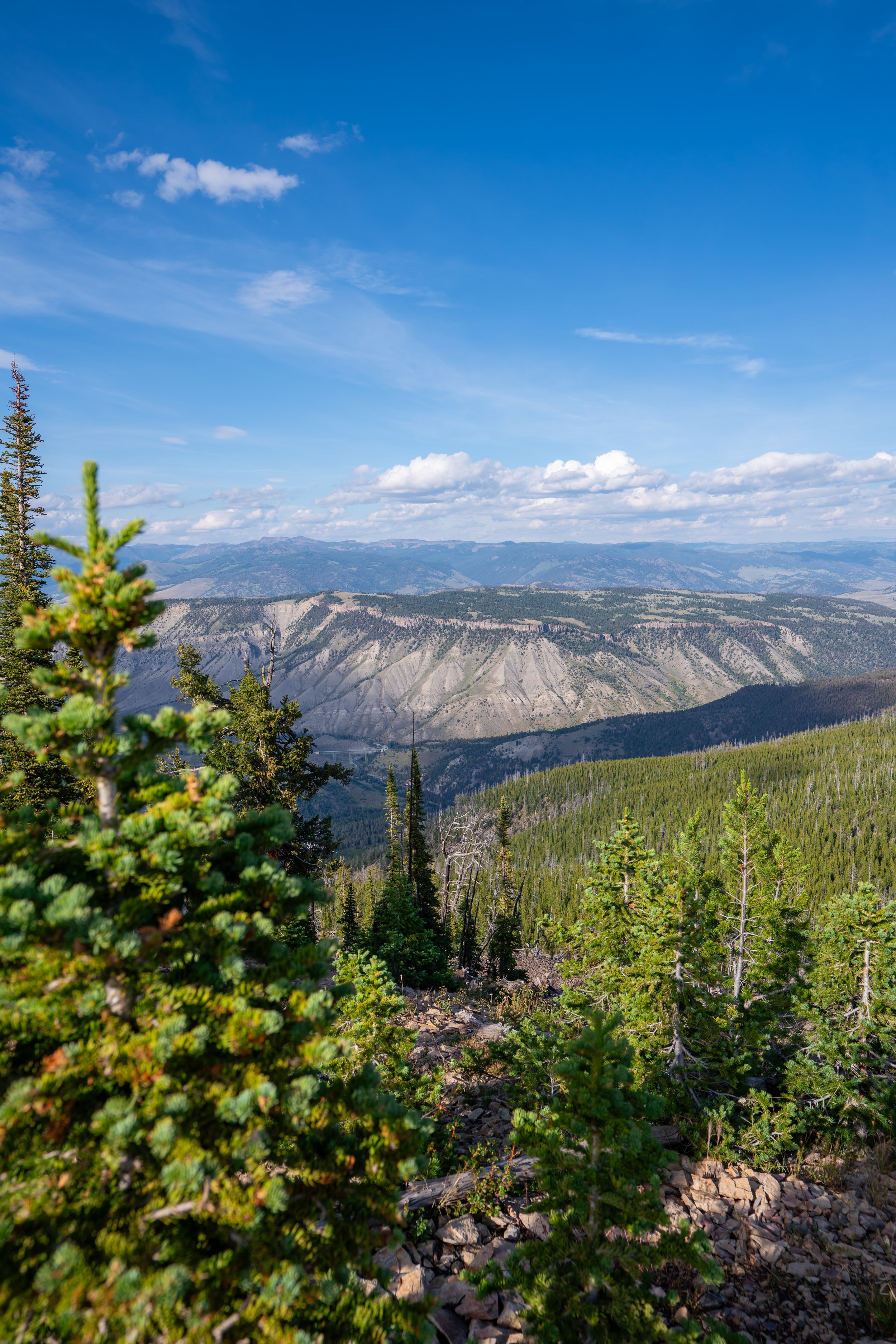
Furthermore, most of the hike has very little shade, which is why I recommend hiking in a hooded sun shirt, as there is only one small stretch of trees along Chittenden Road to find shade.
While it may look faint in these photos, the Mt. Washburn Summit will become visible from here on, which is the mountain with the faint structure on the peak in the distance.
Chittenden Road
This is where the Mt. Washburn Trail meets with Chittenden Road, only 0.2 miles (0.3 km) into the hike.
This 0.2-mile (0.3 km) stretch of forest is the only part of the trail that Chittenden Road passes through some shade on the way to the summit.
When you get to this split in the photo below, stay to the right to continue to the summit of Mt. Washburn.
There was still some snow up here when I hiked Mt. Washburn in the middle of July.
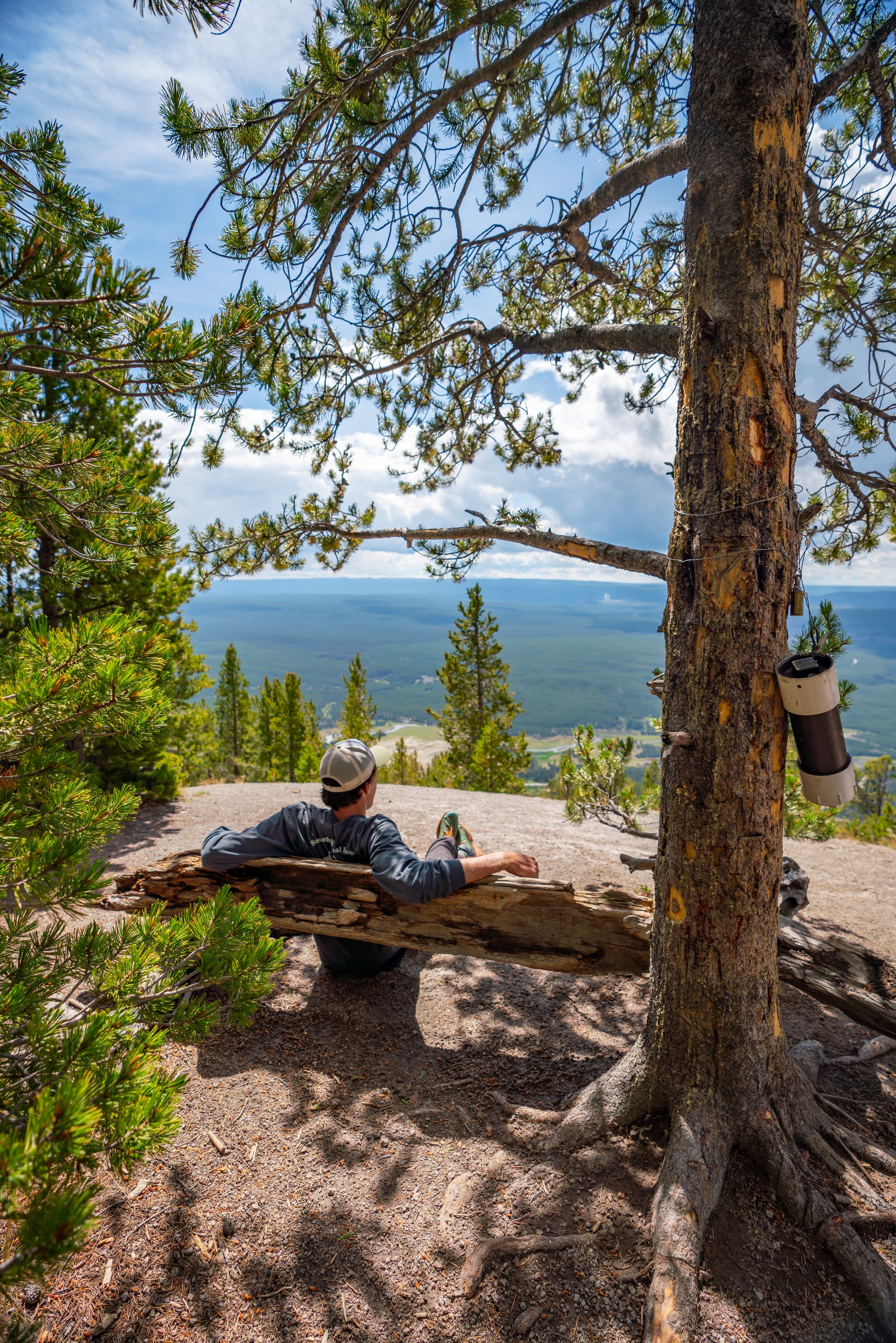
Mt. Washburn
According to the National Park Service, the summit of Mt. Washburn stands at roughly 10,219 ft. (3,115 m).
When I did this hike in the middle of July, the summit was very windy and cold, so pack layers if you’re planning on spending any time up there, which can be especially true for sunrise and sunset.
All of these photos are from sunset, and I was only one of two groups that stayed on the peak to enjoy it!