Hiking the Bunsen Peak Trail in Yellowstone National Park
Distance (One Way to Bunsen Peak): 2.1 miles / 3.4 km
Elevation Gain: ~1,300 ft. / 396 m
The Bunsen Peak Trail in Yellowstone National Park is a fun day hike near Mammoth Hot Springs that climbs a relatively short, not-too-difficult trail to a beautiful panoramic summit with sweeping views across much of the park’s northern range, including views of the nearby Swan Lake Flat, the Blacktail Plateau, the Beartooth Mountains, and even as far as Lamar Valley!
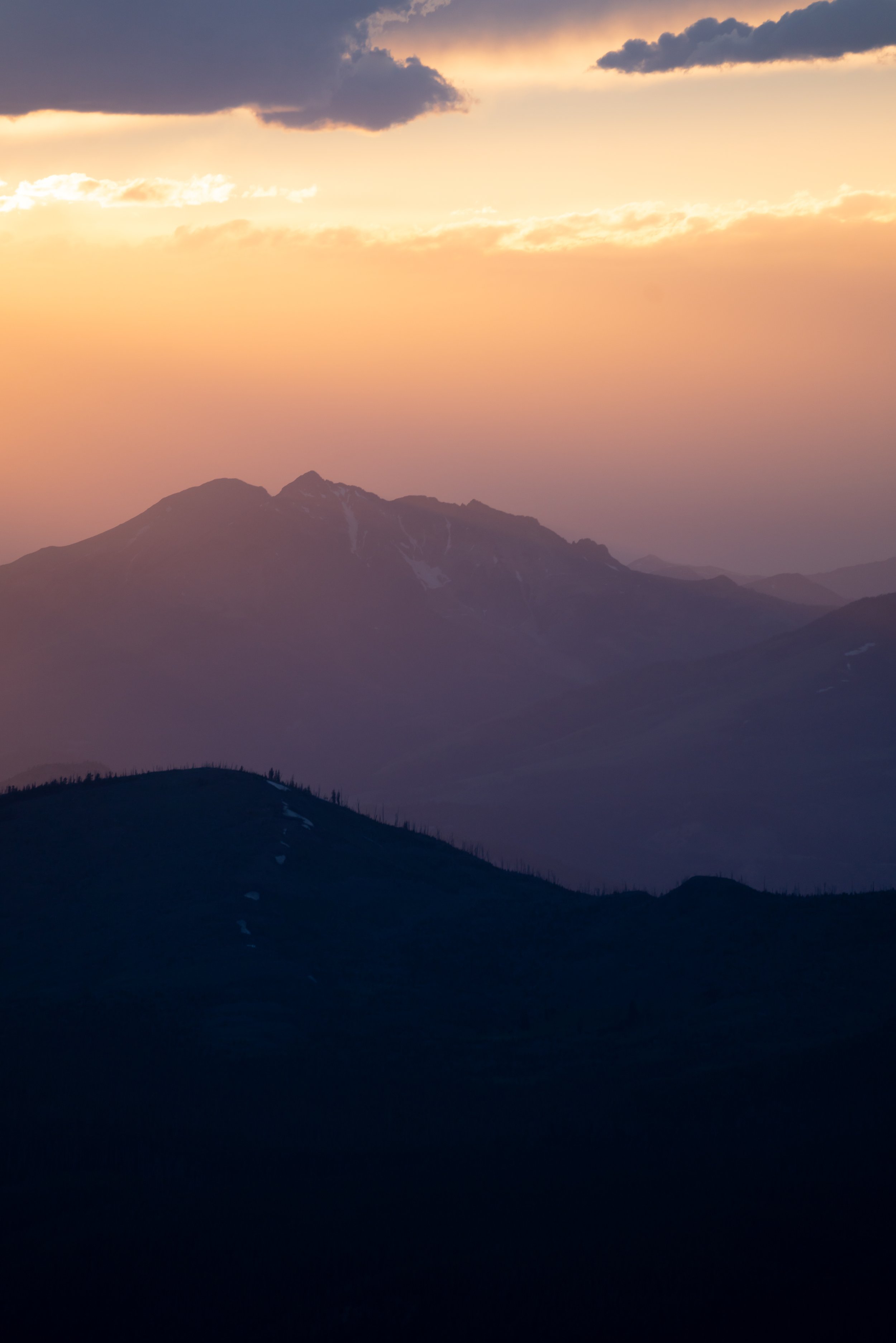
Personally, I love the Bunsen Peak Trail because it is one of the best uncrowded sunset hikes in Yellowstone National Park, as the Swan Lake Flat to the west and Lamar Valley to the east are truly stunning when the golden light stretches across this beautiful corner of the park in the late evening!
Beyond this, Bunsen Peak is an even better sunset hike because the drive out of the park to Gardiner, MT, just beyond Mammoth, is very reasonable!
All that aside, Bunsen Peak is commonly combined with the Osprey Falls Trail in the Gardner River Canyon on the far east side of the peak. This is most commonly done by hiking down the east side of the mountain, as outlined in this article, in order to save the easy walk on the road to the trailhead for the end.
However, this article is solely about the Bunsen Peak Trail that climbs up and over the summit, which ends up totaling about 7.3 miles (11.7 km), excluding the optional hike down to Osprey Falls.
How Long is the Bunsen Peak Trail?
Since many hikers only hike parts of the full Bunsen Peak Trail, I’ve broken down each section to help you plan your adventure.
Bunsen Peak Trailhead to Bunsen Peak: 2.1 miles (3.4 km)
Bunsen Peak to East Old Bunsen Peak Road Junction: 2.1 miles (3.4 km)
East Old Bunsen Peak Road Junction to Bunsen Peak Trailhead: 3.1 miles (5.0 km)
East Old Bunsen Peak Road Junction to Osprey Falls Junction: 0.1 miles (0.2 km)
Osprey Falls Junction to Osprey Falls: 1.4 miles (2.3 km)
Total Distance (Full Bunsen Peak Loop - Not Including Osprey Falls): 7.3 miles (11.7 km)
Bunsen Peak Trailhead Parking
Parking for the Bunsen Peak Trail is located in a very small lot directly off Grand Loop Road, about 4.8 miles (7.7 km) south of Mammoth Hot Springs.
That said, the parking area is relatively small, but typically speaking, finding a spot is rarely an issue, as Bunsen Peak and Osprey Falls are far less popular than all the busy boardwalk trails in Mammoth just down the road.
Google Maps Directions: Bunsen Peak Trailhead
Hiking Checklist - Yellowstone–Tetons
Here is a complete list of must-have things that you will want for any hike in the Yellowstone–Teton area.
Hiking the Bunsen Peak Trail
The Bunsen Peak Trail begins at the gate for Old Bunsen Peak Road, but the trail branches away from the road that continues around the south side of the mountain, just a few steps into the hike.
West Bunsen Peak-Old Bunsen Peak Road Junction
This is where the Bunsen Peak Trail leaves Old Bunsen Peak Road.
That said, go left to begin the roughly 2.1-mile (3.4 km) hike up the west side of Bunsen Peak.
Immediately after leaving the road, the Bunsen Peak Trail begins climbing.
However, I don’t believe the near-constant ascent is all that difficult, at least when compared with much steeper day hikes in Yellowstone, like the stunning Avalanche Peak Trail near the East Entrance.
The thing I hope all these photos show more than anything else is that there’s a lot of sun exposure on the Bunsen Peak Trail.
This is why I highly recommend wearing a hooded sun shirt—especially if you plan to hike the full loop or continue beyond the loop to Osprey Falls.
After only 0.3 miles (0.5 km), the views from the trail open up toward Kingman Pass and Mammoth Hot Springs, commonly called the Golden Gate.
If you didn’t have plans to hike all the way to the summit, this second viewpoint through the Golden Gate to the north is worth the trip alone!
After the second viewpoint of the Golden Gate, the Bunsen Peak Trail winds its way through a Lodgepole-dominated forest until it reaches the first of 12 switchbacks, about 0.6 miles (1.0 km) up the hill.
Since there is quite a bit of elevation change on the hike up either side of Bunsen Peak, some hikers may want to bring trekking poles, which can be especially helpful during the long descent on the way back to Old Bunsen Peak Road.
This is the first of 12 switchbacks on the west side of Bunsen Peak—or at least 12 distinct switchbacks, as some get much more vague as the trail approaches the summit.
This view at the third switchback also looks north toward Mammoth, but this time, Gardiner, MT, just beyond the park boundary, can be seen in the distance!
This is the view looking northwest toward Electric Peak, the most prominent summit near Mammoth Hot Springs, apart from Bunsen Peak.
This is the tenth of 12 switchbacks on the west side of Bunsen Peak.
This is the 12th and final switchback beneath Bunsen Peak.
In reality, however, there are certainly a few more as the Bunsen Peak Trail winds its way up the remaining 0.3 miles (0.5 km) to the summit, but the remaining are much more ambiguous than those up to this point.
This is where the Bunsen Peak Trail wraps around the north side of the mountain as it approaches the summit.
The nice thing about these views looking up toward the top is that there really are no false summits on Bunsen Peak!
To this point, I’ve always felt surprised on multiple hikes over the years, as if the summit always arrived sooner than I expected!
Bunsen Peak
This is the summit of Bunsen Peak, which stands at 8,564 ft. (2,610 m), according to the National Park Service!
That said, the views from the top are truly spectacular in every direction, which is one of my favorite things about Bunsen Peak—particularly when hiked late in the day for sunset!
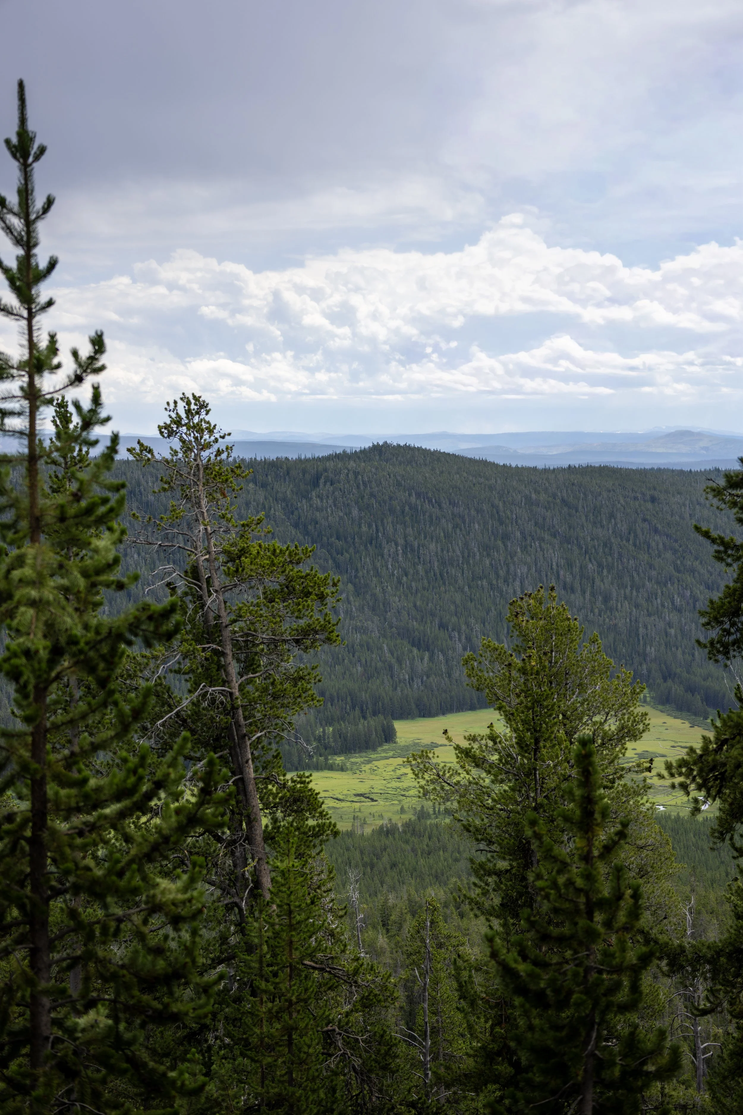
Some of the places that can be seen from the top include the Blacktail Plateau and Lamar Valley to the northeast, Swan Lake Flat to the south and west, Mammoth Hot Springs and Gardiner, MT, to the north, and much of the Beartooth Mountains across the entire northern park boundary!
After Bunsen Peak, the trail continues down the east side until it meets Old Bunsen Peak Road again at the base of the mountain, about 2.1 miles (3.4 km) from the summit—the same distance as the trail up to the peak from the west side.
This is the route commonly taken by those combining both the Bunsen Peak Trail and the Osprey Falls Trail.
That said, I personally don’t think hiking down the east side of Bunsen Peak is worth the effort if you don’t have plans to continue farther to Osprey Falls, as it ends up being a very long day outside because of the 3.1-mile (5.0 km) return hike on Old Bunsen Peak Road.
What are the Buildings at the Summit of Bunsen Peak?
All the buildings and antennas at the summit of Bunsen Peak today are part of a communications infrastructure network that serves Mammoth Hot Springs and other nearby areas.
Historically, however, the summit looked much different. In 1934, the National Park Service constructed a fire lookout on Bunsen Peak, similar to the lookout atop Mt. Washburn, some 16 miles (25.7 km) to the southeast.
However, in the decades that followed, the lookout was eventually removed. These concrete footings are not the site of the historic fire lookout, but that is located just down the trail, about 0.1 miles (0.2 km) from this point.
Then, in the 1950s, Bunsen Peak’s purpose had changed, and it was developed as a radio communications site. National Park Service engineers selected the peak for a radio repeater in 1952, and by 1957, a power line was constructed to serve the radio installation. This helps explain the log cabin-looking building and antennas at the summit today, though the most prominent building in the photos above was not the first telecommunication structure to be built, as the current building was constructed in 2013.
This is where the Bunsen Peak Trail passes the junction for the historic 1930s-era fire lookout that once stood atop the hill in the distance.
The coordinates are linked below.
Google Maps Directions: 44°55'53.4"N 110°42'22.1"W
These initial sections just below the summit are some of the coolest and most beautiful parts the full Bunsen Peak Loop Trail, as the views to the south and east are truly second to none—especially in the late afternoon, when the shadows grow longer and photos of the landscape come out the best!
One of the most important things hikers should keep in mind is that there is a lot less traffic on the east side of Bunsen Peak compared to the west, as the summit is most commonly treated as an out-and-back adventure.
I mention this because the National Park Service reports that Grizzly activity is higher than normal on Bunsen Peak compared to other areas of the park, likely due to the remoteness of the landscape surrounding Mammoth Hot Springs.
In fact, there was one incident in May 2023 in which a hiker repeatedly had to spray a Grizzly that would not leave him alone. It is not unusual for bears to be more active in the late spring/ early summer season, but the good news is that the hiker ultimately made it back to the trailhead safely and without further incident.
What I hope all this shows is that hiking with bear spray is absolutely necessary—especially for the sections through dense vegetation within the final 20 switchbacks above Old Bunsen Peak Road.
As the trail nears the bottom of the initial descent beneath Bunsen Peak, the hike enters the burn scar from the 1988 North Fork Fire, which burned across much of the eastern and northwestern parts of Yellowstone National Park.
The fire did not impact every part of the trail the same, which is why there are still stands of tall overstory trees that were spared, as well as regenerating sections like this.
This is the view looking back toward the summit of Bunsen Peak, about 0.6 miles (1.0 km) from the top.
The heart of the 1988 burn scar is where a hooded sun shirt can be most useful on the Bunsen Peak Trail.
This is where the Bunsen Peak Trail begins descending the first of 20 switchbacks on the final part of the trail before Old Bunsen Peak Road, though the first few turns are a little more vague than those closer to the bottom.
For the purposes of counting every hard turn on the final descent, this is the seventh of 20 switchbacks before Old Bunsen Peak Road.
The one thing to know about the east side of Bunsen Peak is that the trail tends to be a bit more overgrown than the west side of the mountain, mainly because it is far less trafficked.
That said, I do not believe it is too difficult to walk through, but this is coming from someone who calls a tropical island home!
I say it this way because I was warned by other hikers about how overgrown the Bunsen Peak Trail was on the east side, only to realize how wrong they were when I finally saw what they were talking about—and I’m sure folks who understand what real overgrowth looks like from Washington, Alaska, and other similar places would think the same!
Since it is so dense and, as a result, hard to see long distances, always be sure to have your bear spray easily accessible—especially considering that there are far fewer hikers on this side of Bunsen Peak.
This is where the Bunsen Peak Trail turns the 14th switchback above Old Bunsen Peak Road.
As the trail nears the lowest elevations just above Old Bunsen Peak Road, the views open up dramatically to the east, which is always a nice sign that the steepest parts of the hike are almost over!
This is where the Bunsen Peak Trail turns the 20th and final switchback on the east side of the summit, meaning there are only 0.1 miles (0.2 km) left until the trail reaches Old Bunsen Peak Road.
East Bunsen Peak-Old Bunsen Peak Road Junction
After 2.1 miles (3.4 km) since leaving Bunsen Peak, or 4.2 miles (6.8 km) since leaving the trailhead off Grand Loop Road, the Bunsen Peak Trail comes to an end at this junction with Old Bunsen Peak Road.
This is the same road that began at the trailhead gate and wraps around the south side of Bunsen Peak, which is why the Bunsen Peak Trail is commonly referred to as the Bunsen Peak Loop Trail.
In any case, go right to return to the trailhead, about 3.1 miles (5.0 km) from this junction.
Alternatively, if you hiked down the east side of Bunsen Peak to continue farther toward Osprey Falls, go left, and the junction off the road for the true Osprey Falls Trail can be found about 0.1 miles (0.2 km) from this point.
Old Faithful (Upper–Lower Geyser Basins)

Canyon Village
Maddison–Norris
Yellowstone Lake & East Entrance

Mammoth, Lamar Valley & Tower