Hiking the Fairy Falls Trail in Yellowstone National Park
Distance: 5.0 miles / 8.0 km
The Fairy Falls Trail in Yellowstone National Park is a fun and easy day hike near Old Faithful and the Midway Geyser Basin that leads to a towering 200-ft. (61 m) waterfall that most visitors never venture out to see!
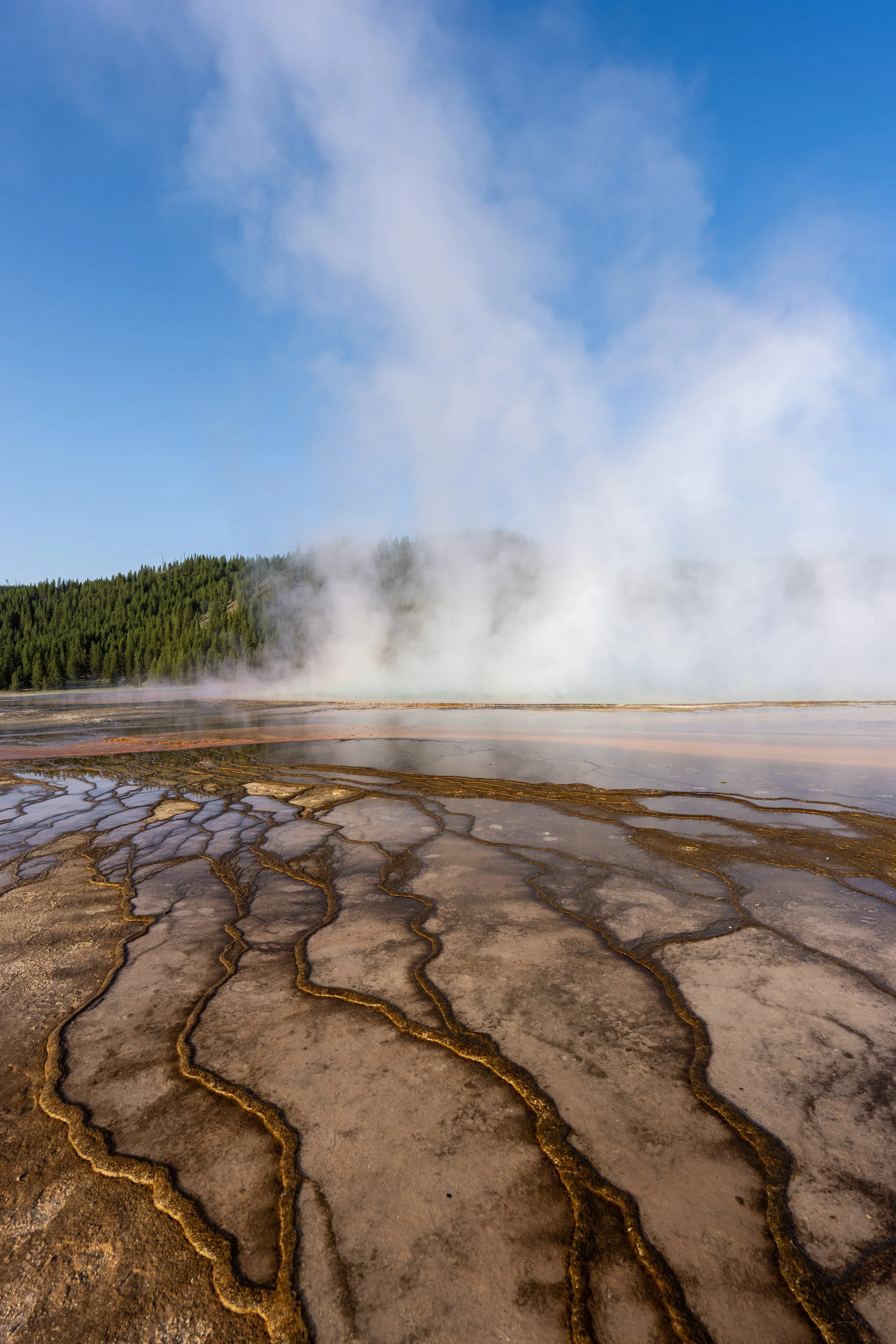
By this, I mean that the Fairy Falls Trailhead is exceptionally busy, but that’s not because most visitors are there to hike to the waterfall. Instead, the popularity of the trail comes solely from the Grand Prismatic Overlook, located just 0.8 miles (1.3 km) into the hike.
However, it is because of this that the Fairy Falls Trail can feel like three adventures in one, as visitors can easily make one hike out of the Grand Prismatic Overlook, Fairy Falls, and the Imperial Geyser Trail after reaching Fairy Falls!
To learn more, I highly recommend reading this article to the end, as both the trail to the Grand Prismatic Overlook and the connection to Imperial Geyser past the waterfall are shown and discussed in detail below.
Fairy Falls Trailhead Parking
Parking for the Fairy Falls Trail is located in one of two parking lots directly off Grand Loop Road.
That said, the Fairy Falls Trailhead is one of the busiest trailheads in both the Upper and Midway Geyser Basins, and, as a result, parking is extremely competitive on any given day during the beautiful summer season.
This is why I highly recommend arriving very early in the morning, as the hike certainly becomes less enjoyable when the trail gets crowded and the parking lots completely fill up by mid-morning.
Google Maps Directions: Fairy Falls Trailhead
Hiking Checklist - Yellowstone–Tetons
Here is a complete list of must-have things that you will want for any hike in the Yellowstone–Teton area.
Hiking the Fairy Falls Trail
The Fairy Falls Trail follows a very long and flat path for almost the entire distance to the waterfall!
That being the case, the Fairy Falls Trail is one of the easier adventures in Yellowstone National Park and one reason why the somewhat long 5.0-mile (8.0 km) roundtrip distance is a bad way to estimate the trail’s difficulty.
This is one of the rare examples where the trail is actually easier than it may appear!
Firehole River
Almost immediately after beginning the hike, the Fairy Falls Trail crosses the Firehole River—the same river that runs through the Upper Geyser Basin, past all the best geysers and thermal features in Yellowstone, like Old Faithful.
If you plan to hike the Fairy Falls Trail at any time other than sunrise or late in the evening, I highly recommend wearing a hooded sun shirt, as there isn’t much shade along the hike from the trailhead to the third junction at about the 1.0-mile (1.6 km) mark.
South Fairy Falls-Grand Prismatic Overlook Junction
After just 0.6 miles (1.0 km), the Fairy Falls Trail splits with the short side trail that climbs up to the Grand Prismatic Spring Overlook.
This is the reason the Fairy Falls Trail is so popular, as the vast majority of visitors do not hike past the short Grand Prismatic Overlook Loop.
That said, it is very common to first hike up to the Grand Prismatic Spring Overlook before continuing on to Fairy Falls, but to continue on the correct trail to the waterfall, go straight at this split.
Read My Separate Post: Grand Prismatic Overlook Trail
North Fairy Falls-Grand Prismatic Overlook Junction
The next time the Fairy Falls Trail splits is when it passes the second and final connection with the Grand Prismatic Overlook, just 0.2 miles (0.3 km) past the first.
Once again, go straight to continue hiking toward Fairy Falls, which will fork to the west after another 0.2 miles (0.3 km).
Read My Separate Post: Grand Prismatic Overlook Trail
Fairy Falls-Sentinel Meadows Junction
At almost exactly 1.0 mile (1.6 km) since leaving the trailhead, the Fairy Falls Trail branches away to the left.
However, since the trail actually curves just as it reaches the junction, as shown in the photo below, go straight (left) at this point to leave the joint biking and hiking trail along the Midway Geyser Basin toward Fairy Falls, about 1.5 miles (2.4 km) from this point.
After leaving the bike trail, the next 1.5 miles (2.4 km) of the Fairy Falls Trail is much of the same, as it passes through a long, dense Lodgepole Pine forest.
This remains the case until the trail starts to get close to Fairy Falls after the Fairy Meadows Campground junction, which is where the cliffs above the waterfall can start to be seen through the trees for the first time!
While it can be tempting to trail run such a long, flat trail in Yellowstone, the National Park Service does not recommend trail running in Grizzly country! This is a good general rule of thumb for trails anywhere Grizzlies are present.
That said, I personally agree with the guidance from the NPS, and in fact, during a Yellowstone trip I was on in 2023, a trail runner was mauled to death near West Yellowstone, just beyond the park boundary.
Official reports concluded that the encounter was a surprise defensive attack, rather than a predatory one. I hope this shows why trail running only increases the risk of startling a bear and why the NPS recommends against it!
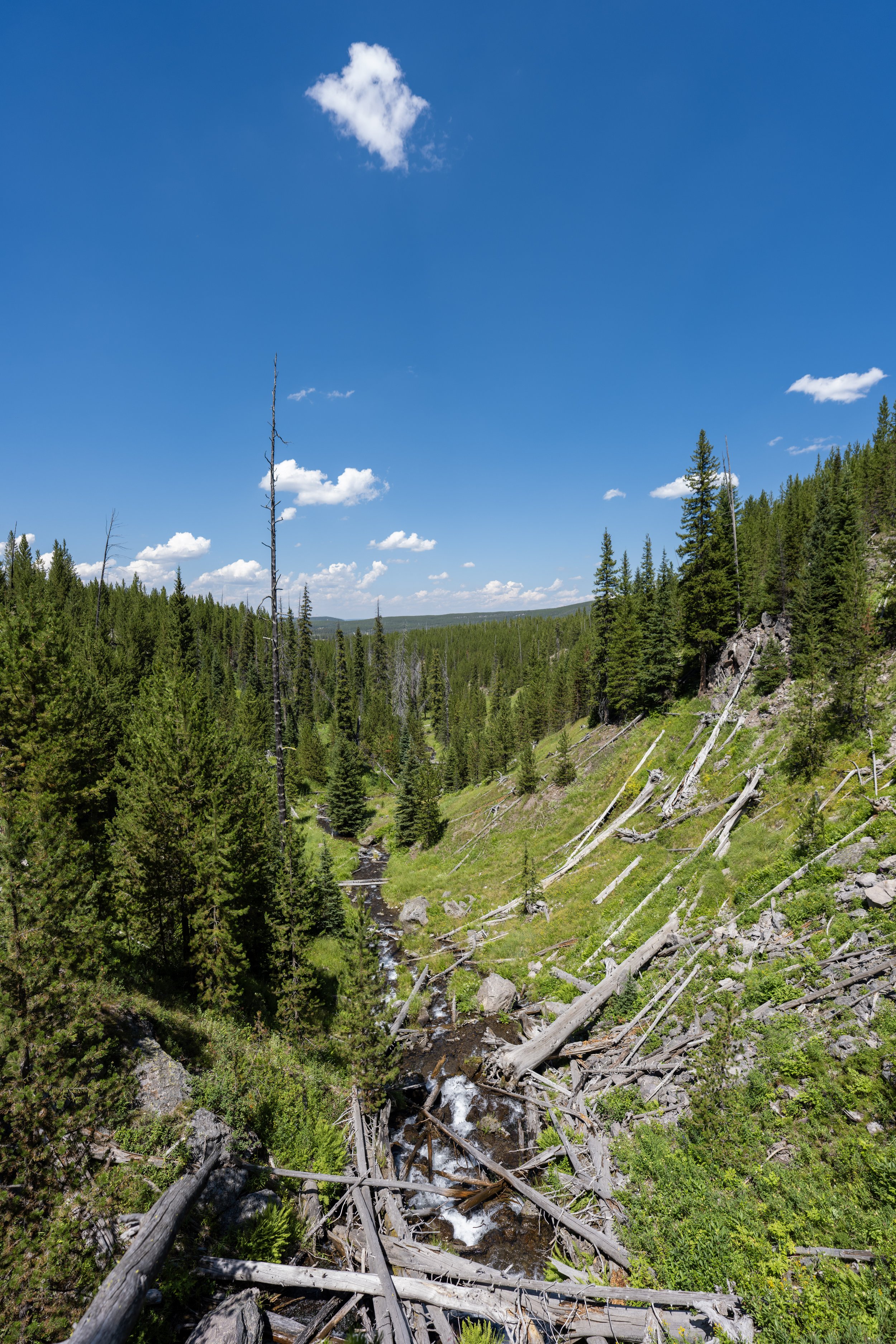
This bridge across this unnamed creek is one of very few mental checkpoints on the long, monotonous hike between the Midway Geyser Basin and Fairy Falls.
This is a perfect example of just how dense the Lodgepole Pines can be on the Fairy Falls Trail, making it hard to see long distances in either direction.
That said, always remember to hike with bear spray on this or any trail in Yellowstone National Park, as both Black Bears and Grizzlies can often be hard to see in advance!
Fairy Falls-Fairy Meadows Campground (0D1) Junction
After just over 0.6 miles (1.0 km), or just before the halfway point between the Sentinel Meadows junction and the waterfall, the Fairy Falls Trail passes this side trail, which leads over to Fairy Meadows Campground.
This is a backcountry site reservable through Recreation.gov or on a first-come, first-served basis through one of the many wilderness offices in the park.
All that aside, go straight at this split to continue hiking the Fairy Falls Trail to the waterfall, about 0.75 miles (1.2 km) from this point.
Book Here: Yellowstone Backcountry Permits
This is the first time that the cliffs near Fairy Falls can be seen through the trees in the distance!
This meadow on the right-hand side of the trail is another nice mental checkpoint that Fairy Falls is just around the corner!
As the trail approaches Fairy Falls, hikers have the option to hike up to the waterfall on either side of Fairy Creek.
I don’t believe one side is easier or more challenging than the other, but this article follows the far west side of the creek to the big pool at the base.
Fairy Creek
This is where the trail crosses Fairy Creek.
After turning left, Fairy Falls is just a few steps off the main trail!
Fairy Falls
After almost exactly 2.5 miles (4.0 km), the Fairy Falls Trail finally reaches the base of the 200-ft. (61 m) Fairy Falls, which, in my opinion, is one of the most beautiful waterfalls that visitors can hike to in Yellowstone National Park, next to Tower Falls!
What is the Best Time of Day to Take Photos at Fairy Falls?
Unlike my thoughts surrounding very strict times to visit the Grand Prismatic Overlook to take great photos, Fairy Falls is a bit easier to time!
That said, the two best times to take photos at Fairy Falls are early in the morning, about 2–3 hours after sunrise, or late in the afternoon/ early evening.
The key is to avoid the midday hours because, when the sun is at its highest, it is actually due south, or directly above/ behind the waterfall in the mid-summer months, which tends to create an awkward glare.
This is why early morning or late evening is best because the sun is either far to the left (east) or right (west) of the waterfall and not in the frame.
The nice thing is that both of these times actually line up perfectly with the best times to be at the Grand Prismatic Overlook for photos, which I highly recommend reading more about in my separate article linked below.
Read My Separate Post: Grand Prismatic Overlook Trail
This is the view looking northwest toward both Spray Geyser and the very beautiful Imperial Geyser, just a few steps beyond!
Fairy Creek
After Fairy Creek, the Fairy Falls Trail continues for another 0.4 miles (0.6 km) until it reaches the Fairy Creek Trail, which is the route to both the Spray Geyser and the Imperial Geyser, shown in the photo above.
That said, the rest of the Fairy Falls Trail to the next junction is likely of no interest to most visitors, unless you are interested in continuing past the junction to both geysers!
If not, I recommend turning back, but I personally believe that both geysers are worth the effort after hiking 2.5 miles (4.0 km) to get to this point, as it’s only another 0.75 miles (1.2 km) to get to the Imperial Geyser.
Shortly past Fairy Creek, the Fairy Falls Trail passes through a large meadow, which is typically the muddiest part of the entire hike, especially if it has recently rained!
After the meadow, the Fairy Falls Trail remains in the forest for the rest of the hike to the Fairy Creek junction just ahead.
Fairy Falls-Fairy Creek Junction
This T-intersection is the end of the Fairy Falls Trail from the south and the beginning of the Fairy Creek Trail, which continues toward both the Spray Geyser and the Imperial Geyser shortly thereafter.
If you are interested in continuing to both, go left at this junction, which you can learn all about in my separate article linked below.
Read My Separate Post: Imperial Geyser Trail
Old Faithful (Upper–Lower Geyser Basins)


Canyon Village
Maddison–Norris
Yellowstone Lake & East Entrance

Mammoth, Lamar Valley & Tower