Hiking the Mystic Falls Trail (Little Firehole Loop) in Yellowstone National Park
Distance: 3.6 miles / 5.8 km
Elevation Gain: ~500 ft. / 152 m
The Mystic Falls Trail in Yellowstone National Park is an easy, beautiful day hike past the popular Biscuit Basin to the 70-ft. (21-m) cascade that is Mystic Falls.
The trail, which is most comparable to Fairy Falls, located just to the north, can either be hiked as a 2.2-mile (3.5-km) out-and-back adventure to the waterfall or as the full 3.6-mile (5.8-km) loop, commonly called the Little Firehole Loop, which extends past Mystic Falls to the Biscuit Basin Overlook before returning to the beginning.
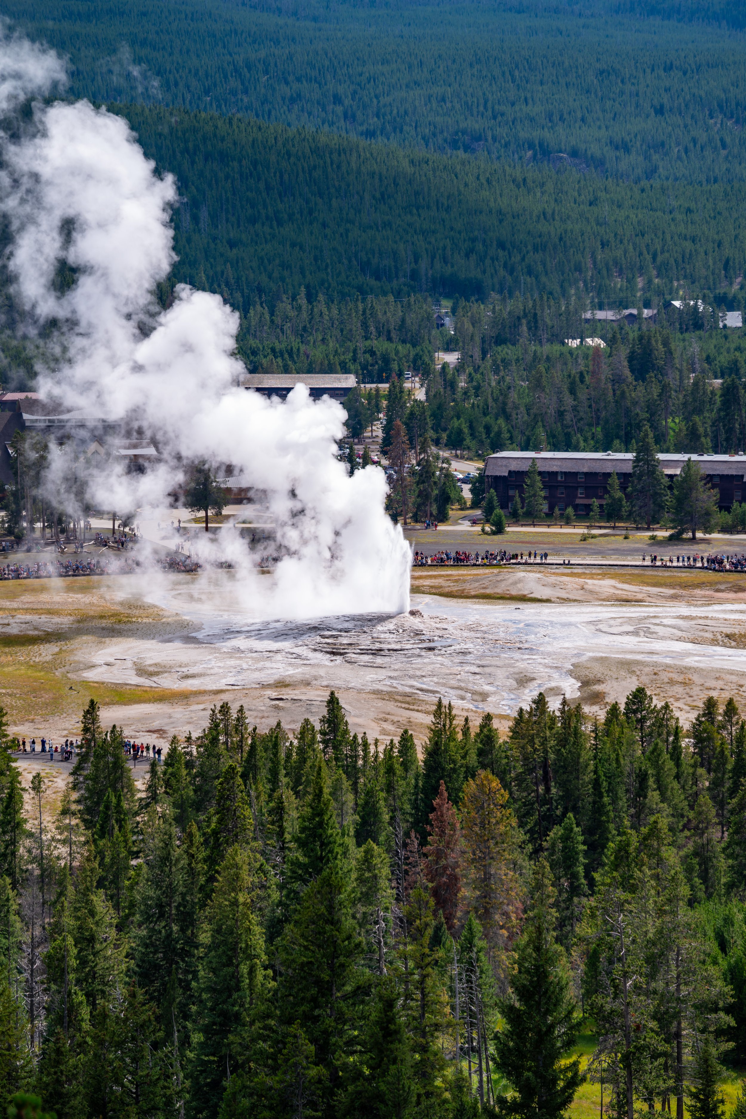
In either case, both the Mystic Falls Trail and the Little Firehole Loop Trail are great ways to escape the vast majority of crowds that can be found at nearby places, like the Upper and Midway Geyser Basins.
Biscuit Basin Trailhead Parking
Since Mystic Falls shares the same trailhead as Biscuit Basin, as well as with the Artemisia Trail across the road, parking in the small lot for Biscuit Basin can be difficult on any given summer day.
This means that if parking isn’t an option in the small Biscuit Basin parking lot, you may need to park somewhere along Grand Loop Road.
Google Maps Directions: Biscuit Basin Trailhead
Hiking Checklist - Yellowstone-Tetons
Here is a complete list of must-have things that you will want for any hike in the Yellowstone-Teton area.
Hiking the Mystic Falls Trail
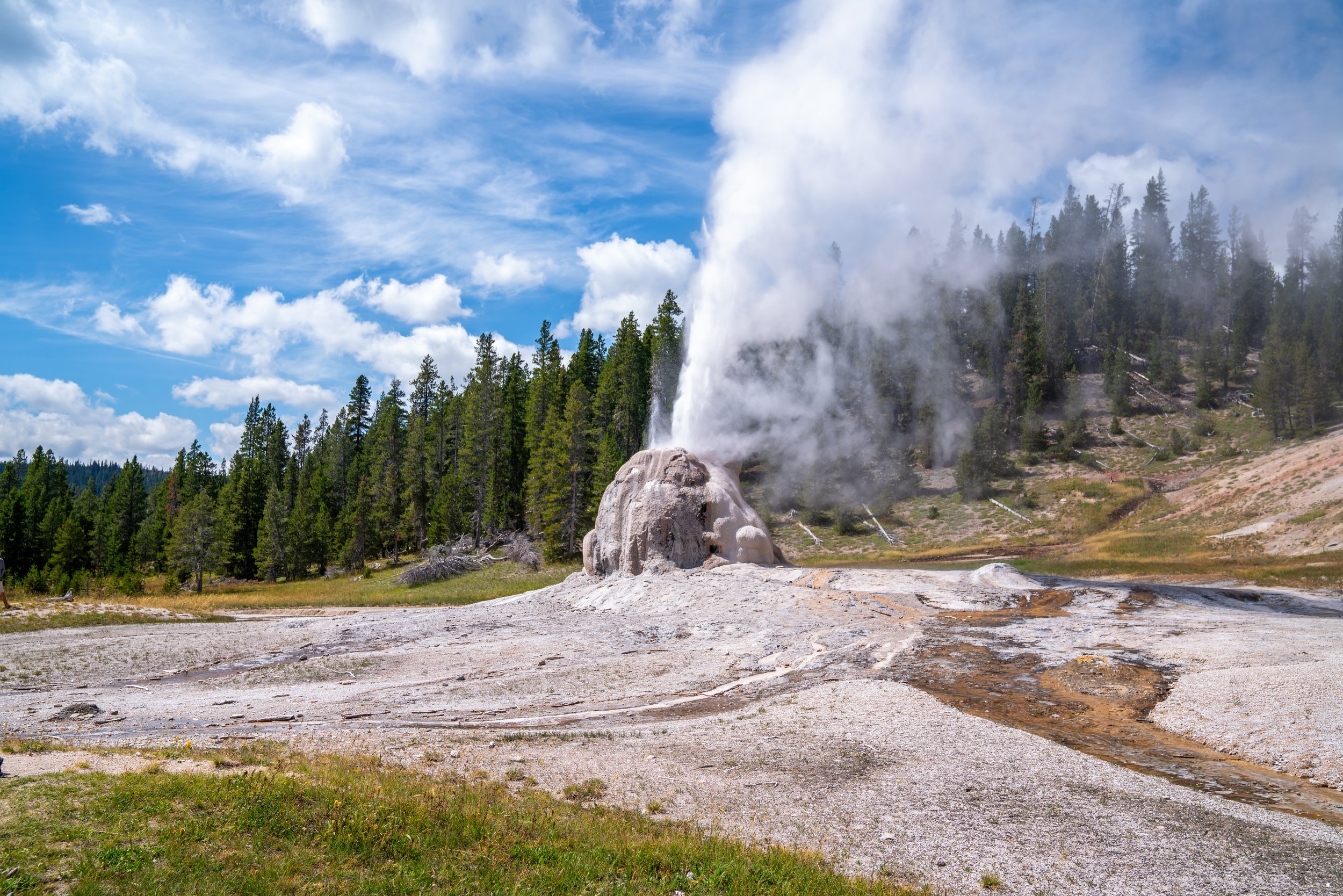
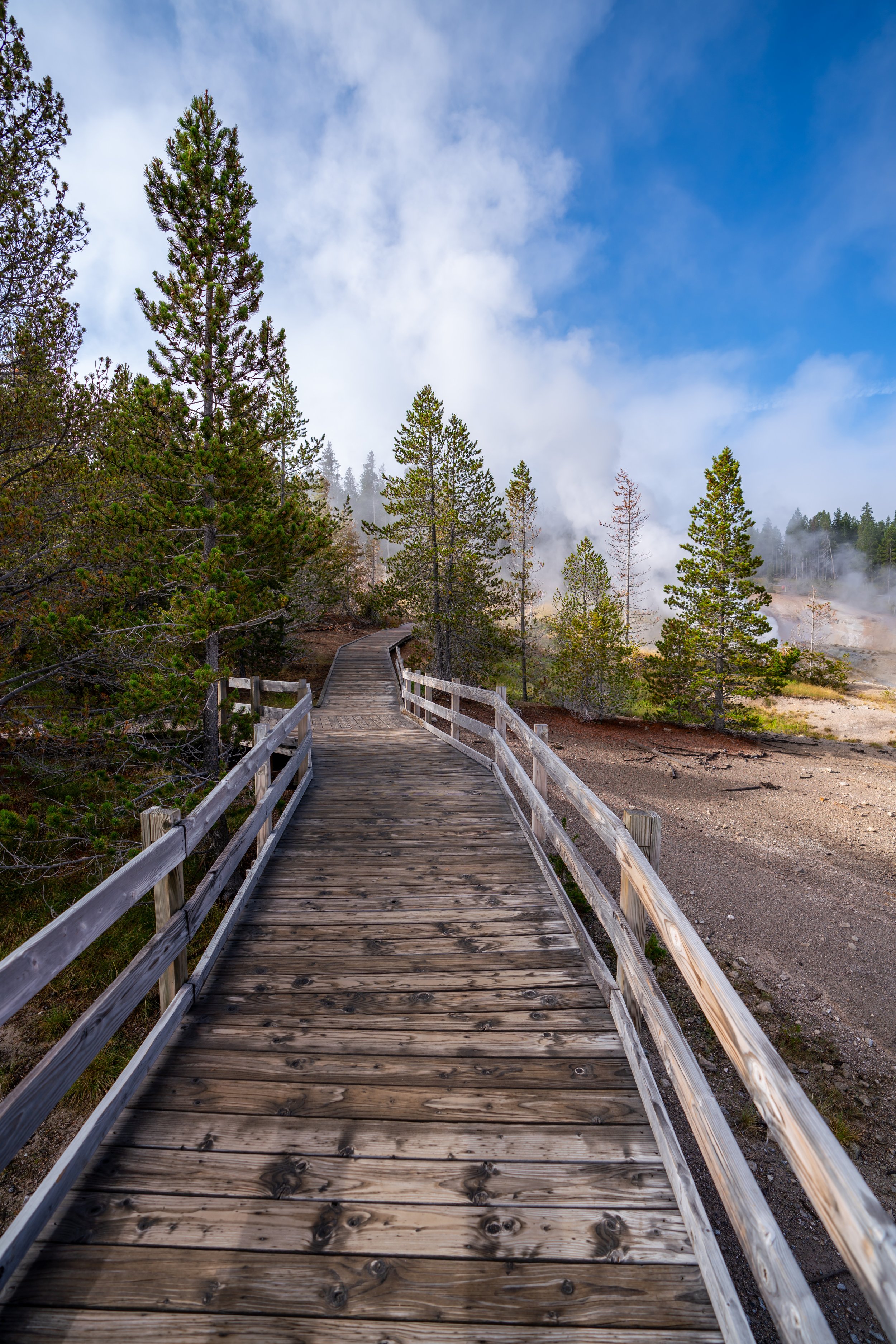
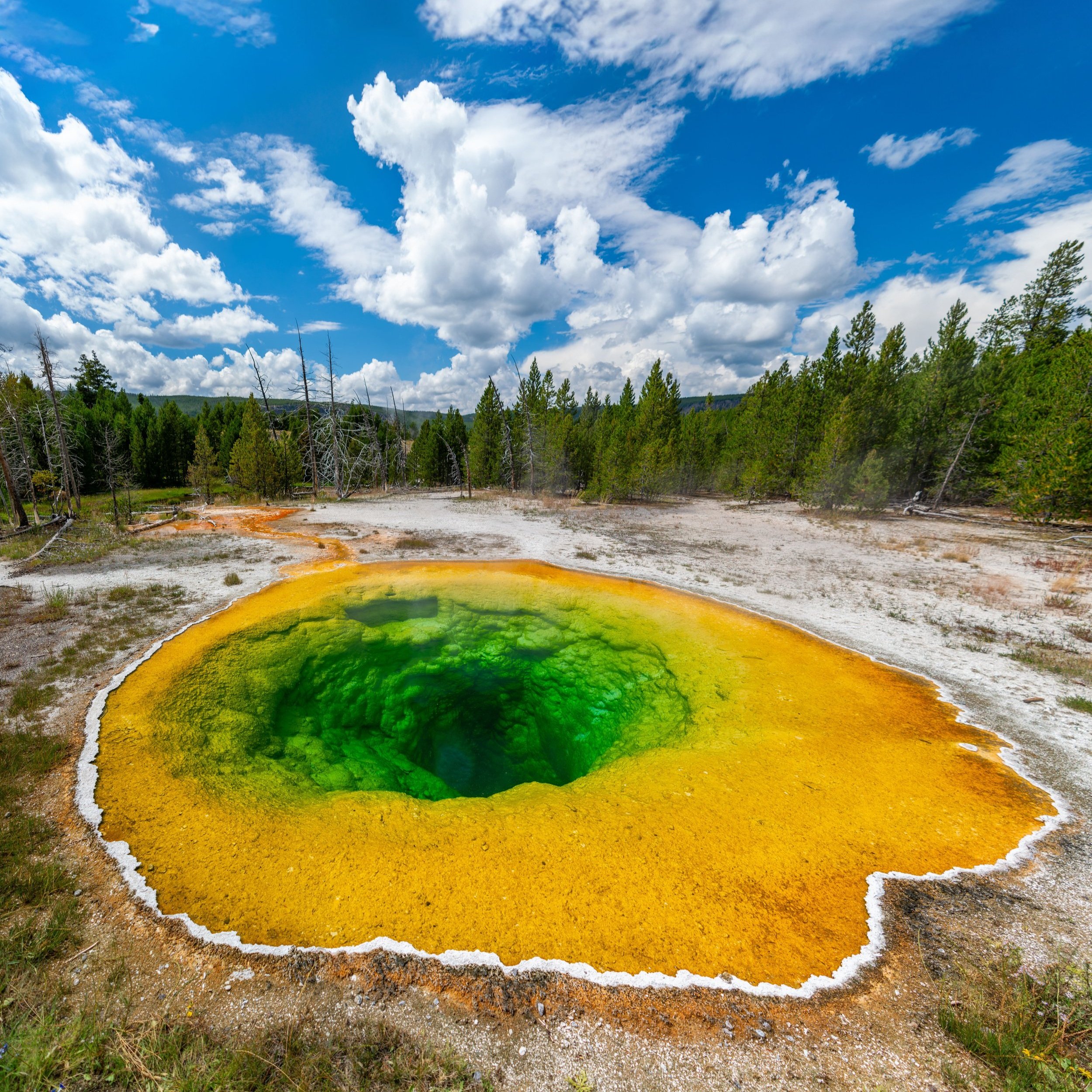
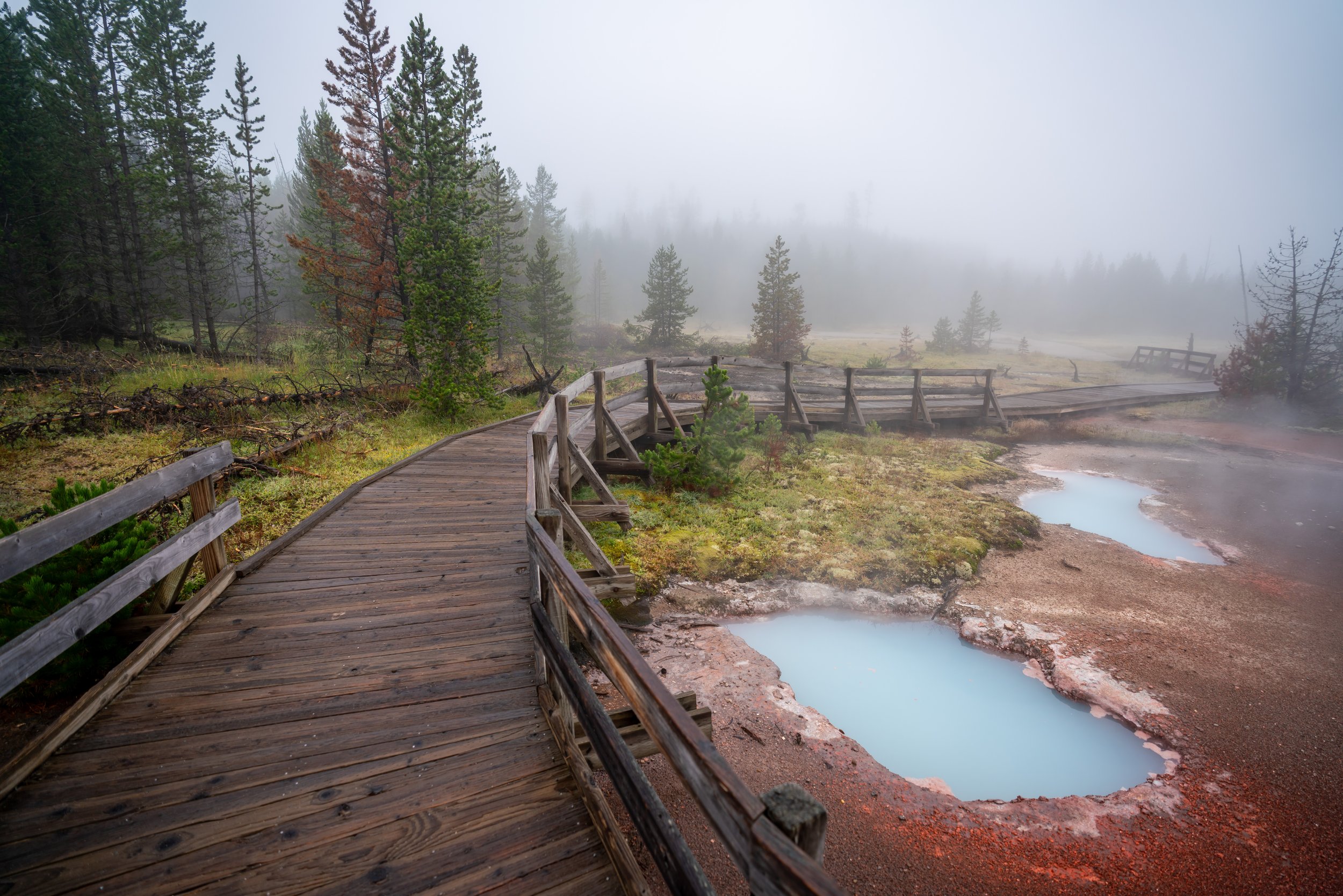
The Mystic Falls Trail starts off on the same boardwalk as the loop through Biscuit Basin.
Biscuit Basin Loop
To take the fastest path through the thermal features, go straight at the first intersection.
At the back of the Biscuit Basin Loop Trail, the Mystic Falls Trail branches off toward the forest.
Biscuit Basin (Mystic Falls) Trailhead
While carrying bear spray may not be necessary on the Biscuit Basin boardwalk prior to this point, it is absolutely necessary from this point on, as the number of people on the trail drops significantly.
Mystic Falls Loop Trail (Little Firehole Loop)
At the first split, you can go either way to complete the Mystic Falls Loop, but I personally recommend going left toward the waterfall first.
I say this because the trail directly to the overlook is much steeper than hiking to Mystic Falls first, which is more gradual overall.
Mystic Falls-Summit Lake Junction
Then, only 0.1 miles (0.2 km) after the loop junction, the trail splits again with the trail to Summit Lake.
While the sign may not say, the Summit Lake Trail is actually a small part of the much longer Continental Divide Trail (CDT) that spans the United States from Mexico to Canada.
Go right at this split to continue toward Mystic Falls.
From this point on, the Mystic Falls Loop parallels the Little Firehole River until the waterfall.
Overall, the elevation gain on this stretch is very gradual, which is why I prefer to hike the loop in this direction, as opposed to the overlook first.
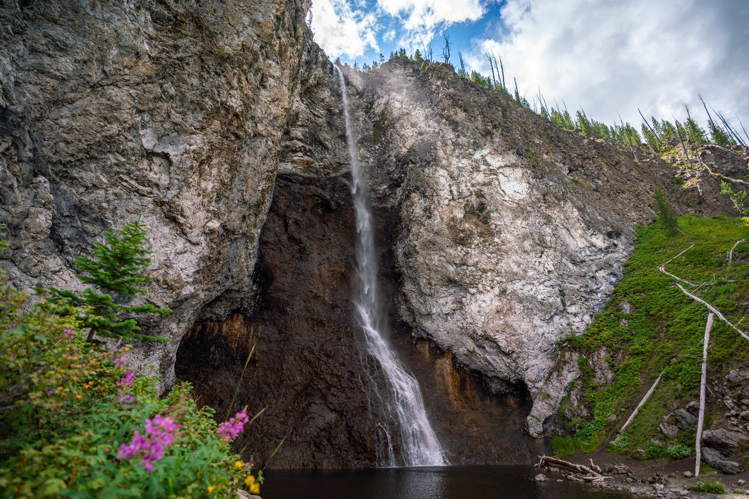
Mystic Falls
According to the National Park Service, Mystic Falls is 70 ft. (21 m) tall.
If you’re interested in getting closer, there are a few ways to make your way down to the river when the snowmelt is not at its peak.
To give you an idea, these photos were taken in early August when the majority of the snow had already disappeared from the park.
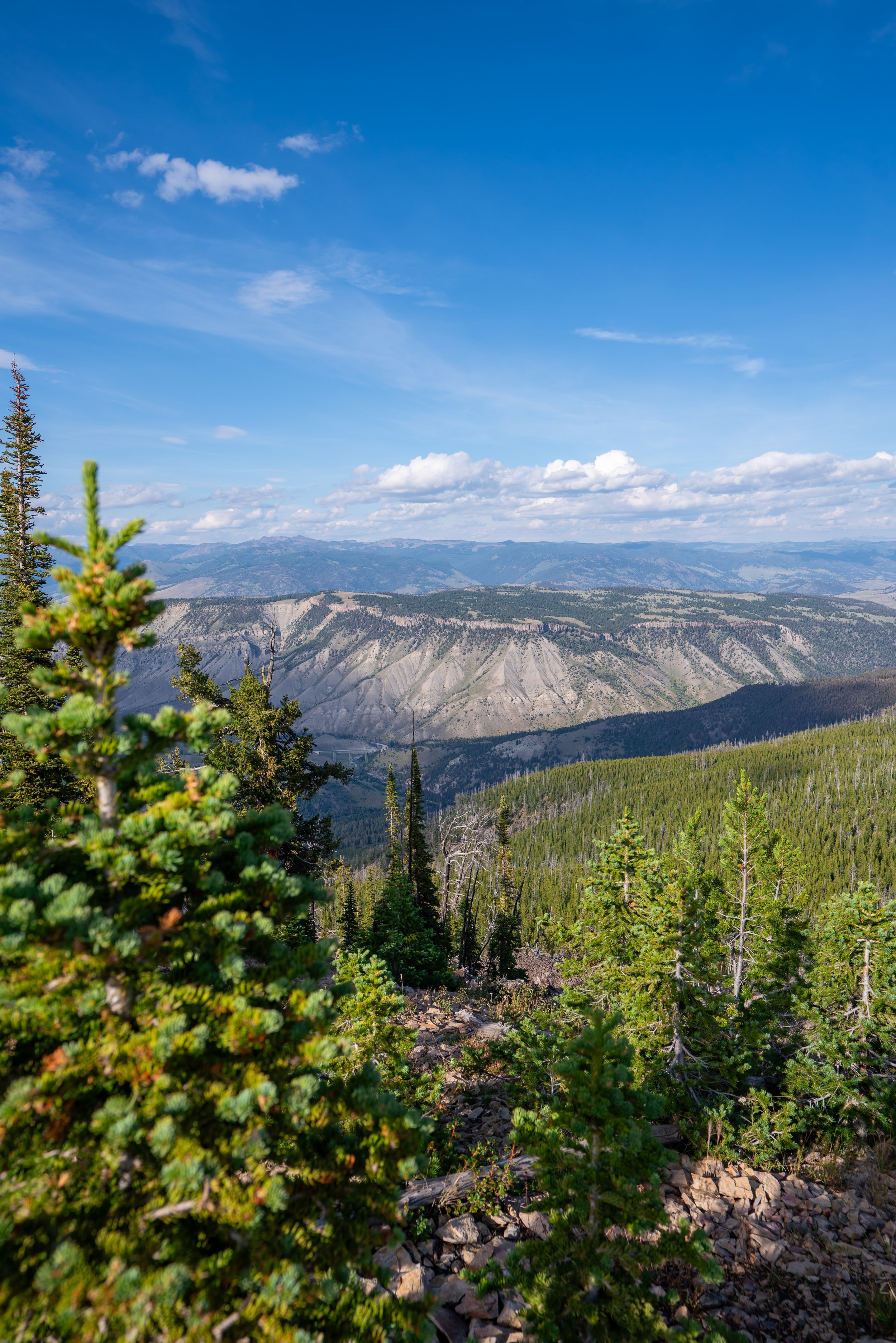
Past Mystic Falls, the trail continues up a handful of switchbacks, where the majority of the elevation gain is located when hiking the loop in this direction.
That said, it’s only 0.5 miles (0.8 km) to reach the top of the uphill, which I personally think is a bit easier than coming from the other direction.
Mystic Falls-Fairy Creek Junction
The Fairy Creek Junction is the top of the uphill on the Mystic Falls Loop Trail.
From here, go right, and the Biscuit Basin Overlook will shortly ahead.
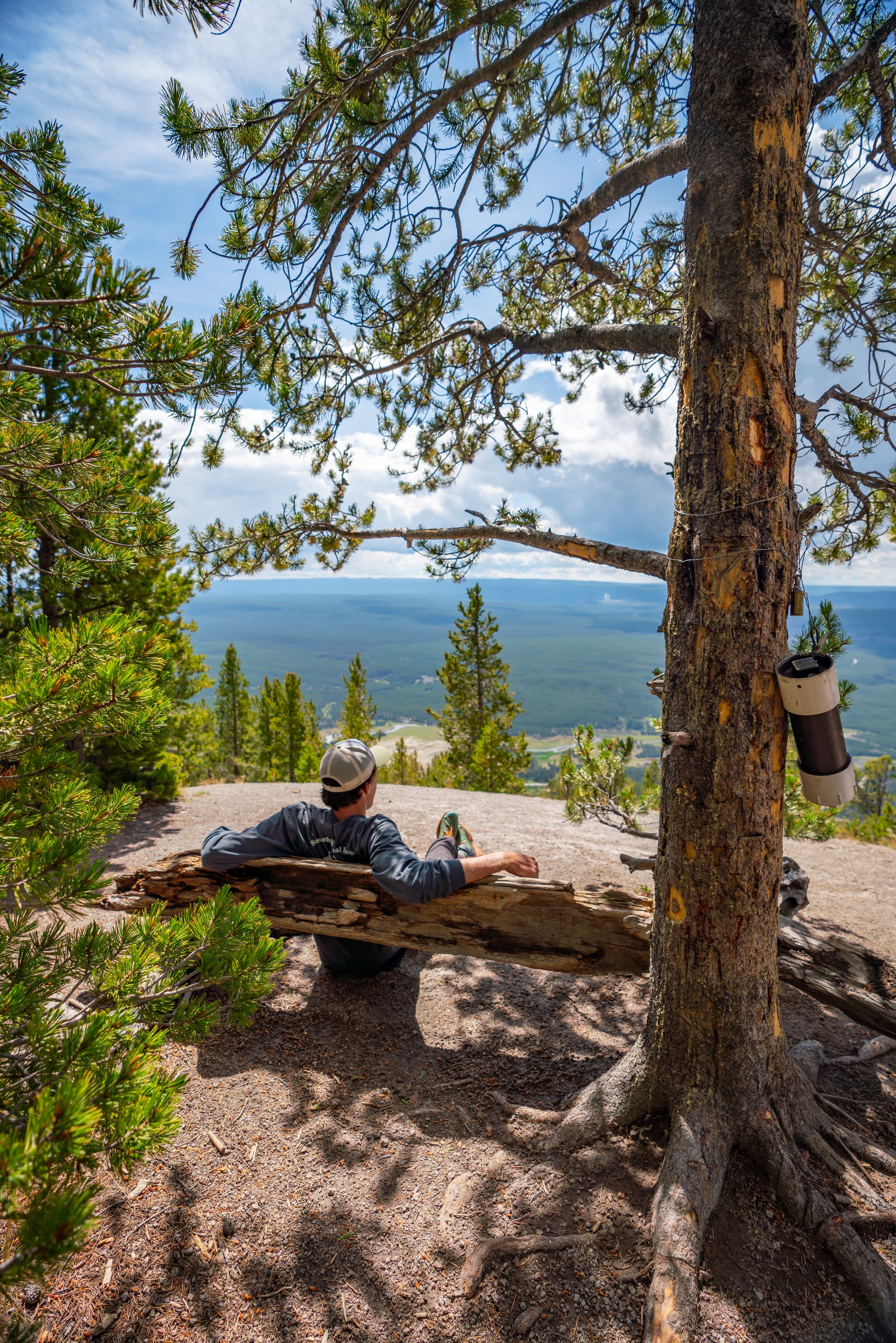
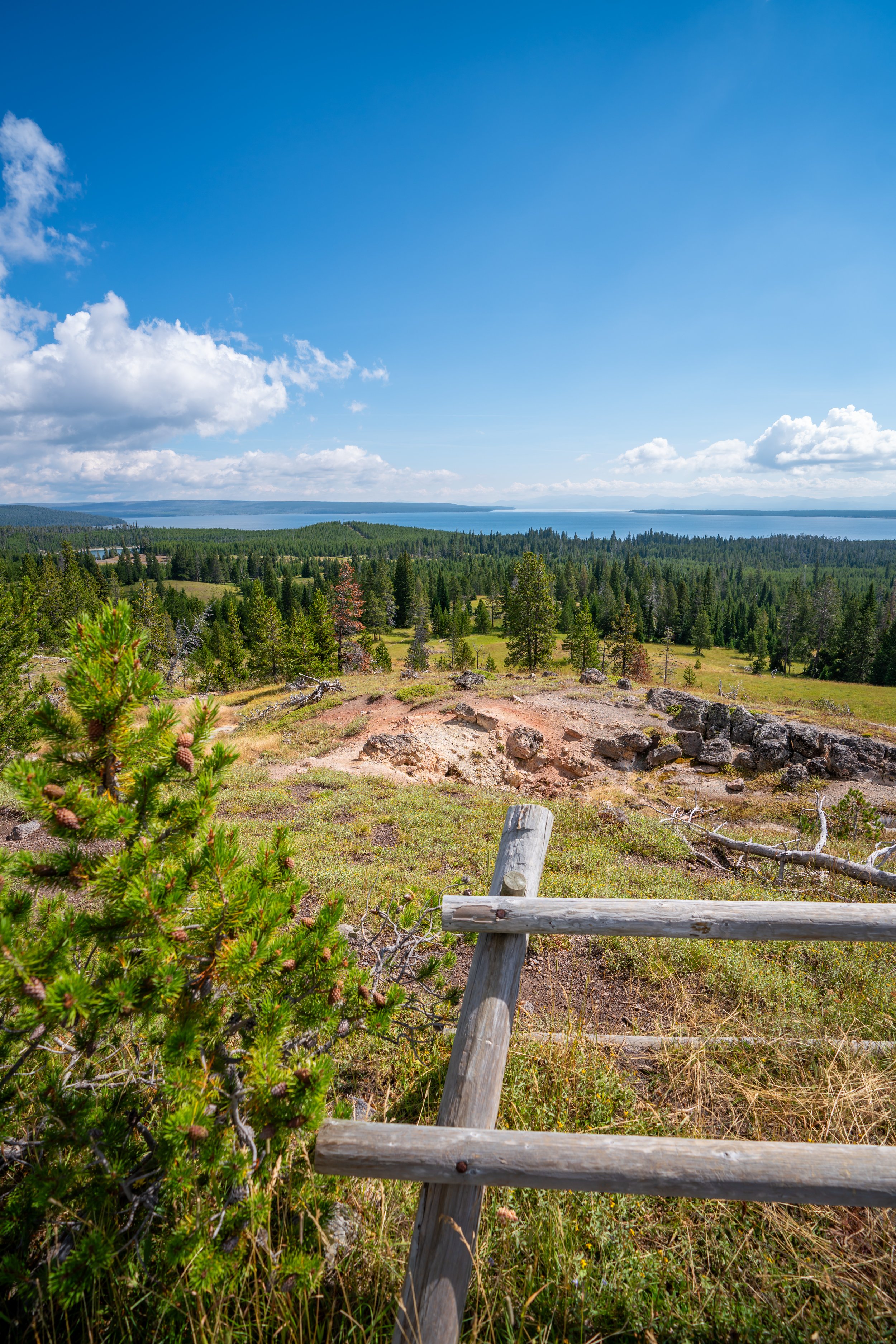
Biscuit Basin Overlook
The view from the top of the Biscuit Basin Overlook reminds me a lot of Purple Mountain, which I highly recommend for a much more expansive view of Yellowstone’s most popular geyser basins!
Read My Separate Post: Purple Mountain Trail
Past the overlook, the trail descends a number of steep switchbacks before reaching the forest below, where the loop began.
Mystic Falls Loop Junction
Once at the bottom, go left to return to the Biscuit Basin boardwalk and trailhead.
This is the same loop split from earlier in this post.