Hiking the Kīpapa Ridge Trail on Oʻahu, Hawaiʻi
Distance (One Way): 9.7 miles / 15.6 km
The Kīpapa Ridge Trail on Oʻahu is a long, slow, tedious, and—most of all—extremely remote day hike that I personally considered to be one of the most challenging hikes on the island. I emphasize this to say, don’t take Kīpapa Ridge lightly.
This is because Kīpapa Ridge is very overgrown, very slow-moving, and you will be army crawling through pig tunnels more than most other hikes on the island.
For these reasons, Kīpapa Ridge is one of only a few Hawaiʻi hikes where it makes sense to talk about it from a top-down approach because it is highly unlikely that anyone will be starting from the trailhead in Mililani and hiking up to the summit. It also would be that much more miserable to fight through the overgrowth going uphill than down.
That being said, the three most likely trails, in order to reach Kīpapa Summit on the Koʻolau Summit Trail (KST), are Mānana Ridge, Schofield-Waikāne, and Poamoho, which is the furthest away of the three.
In addition, the distance above is only one way from Kīpapa Summit to the Dole Plantation Road bridge over the H-2 Freeway.
All being said, I excluded talking about Kīpapa Ridge in my most challenging Oʻahu trails article because the hike really is that impractical to consider as a challenging, yet fun adventure.
Read My Separate Post: Most Challenging Trails on Oʻahu
Hiking the Kīpapa Ridge Trail
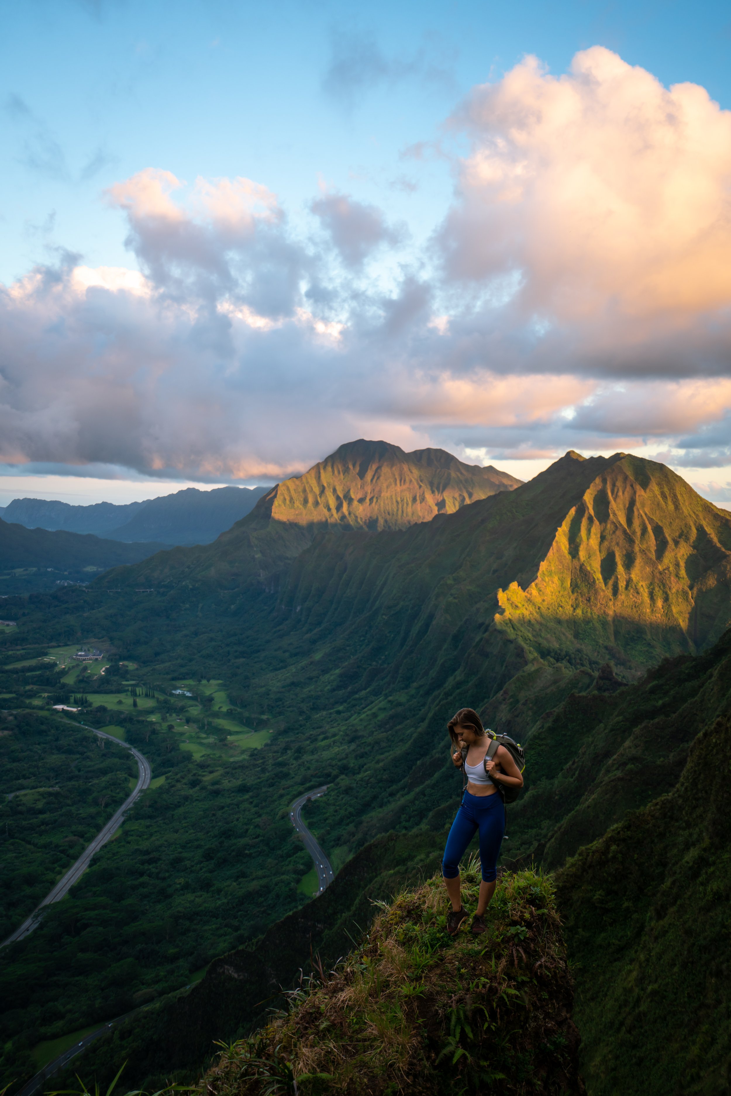
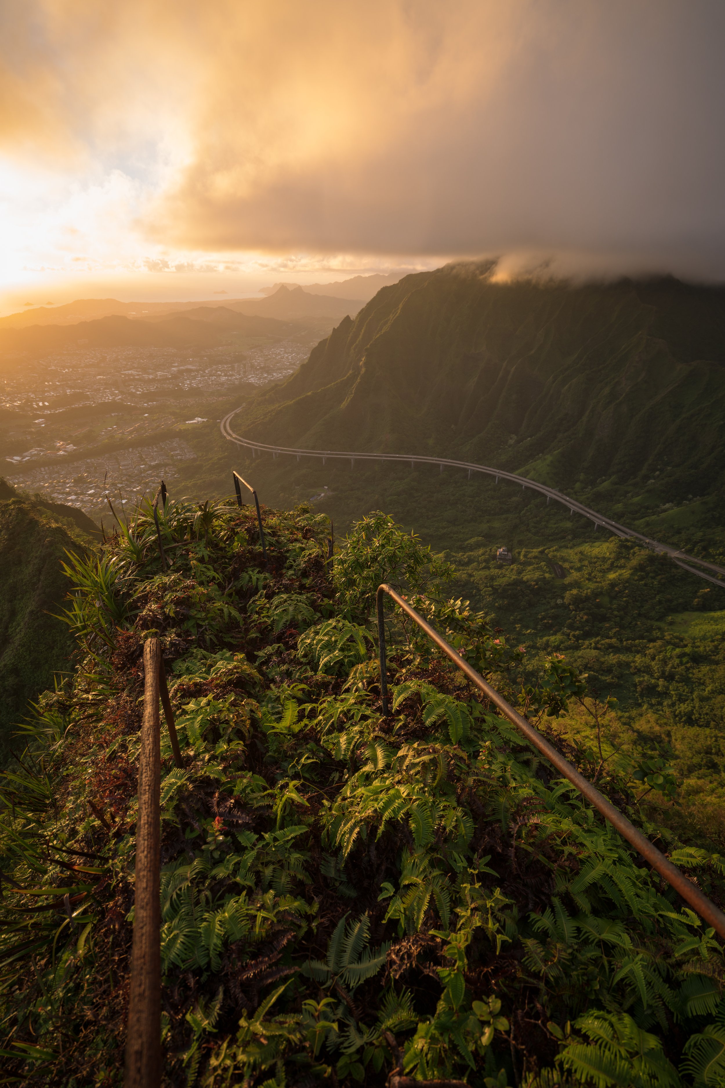
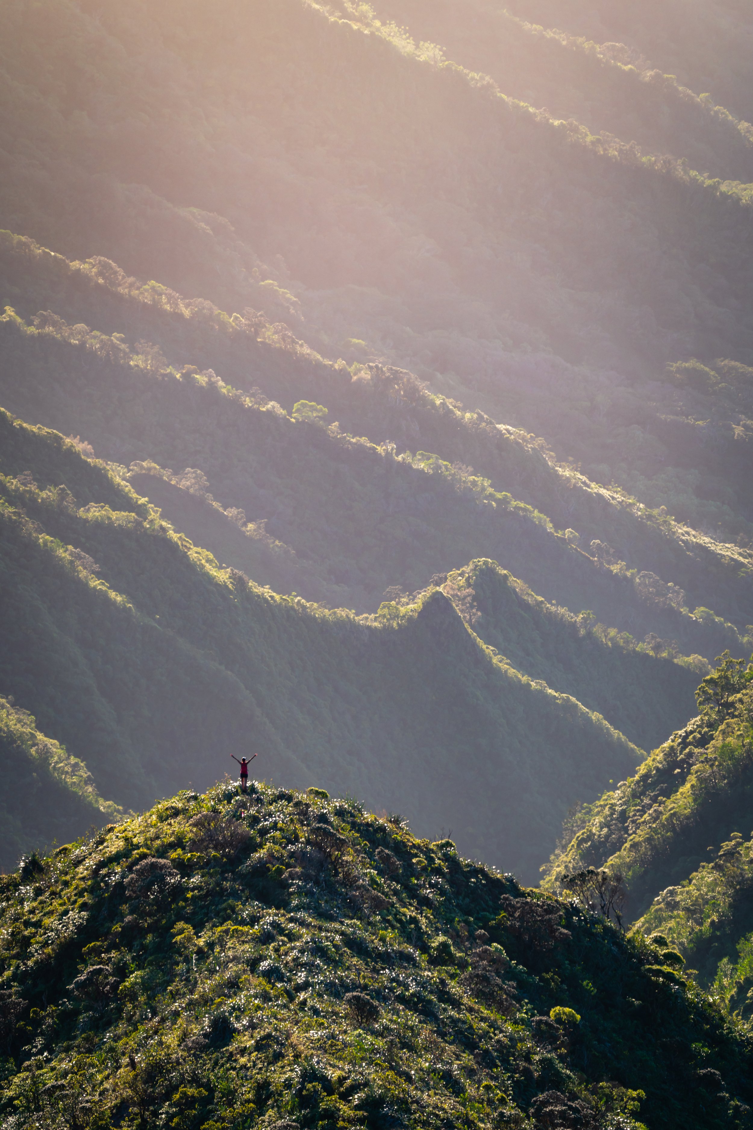
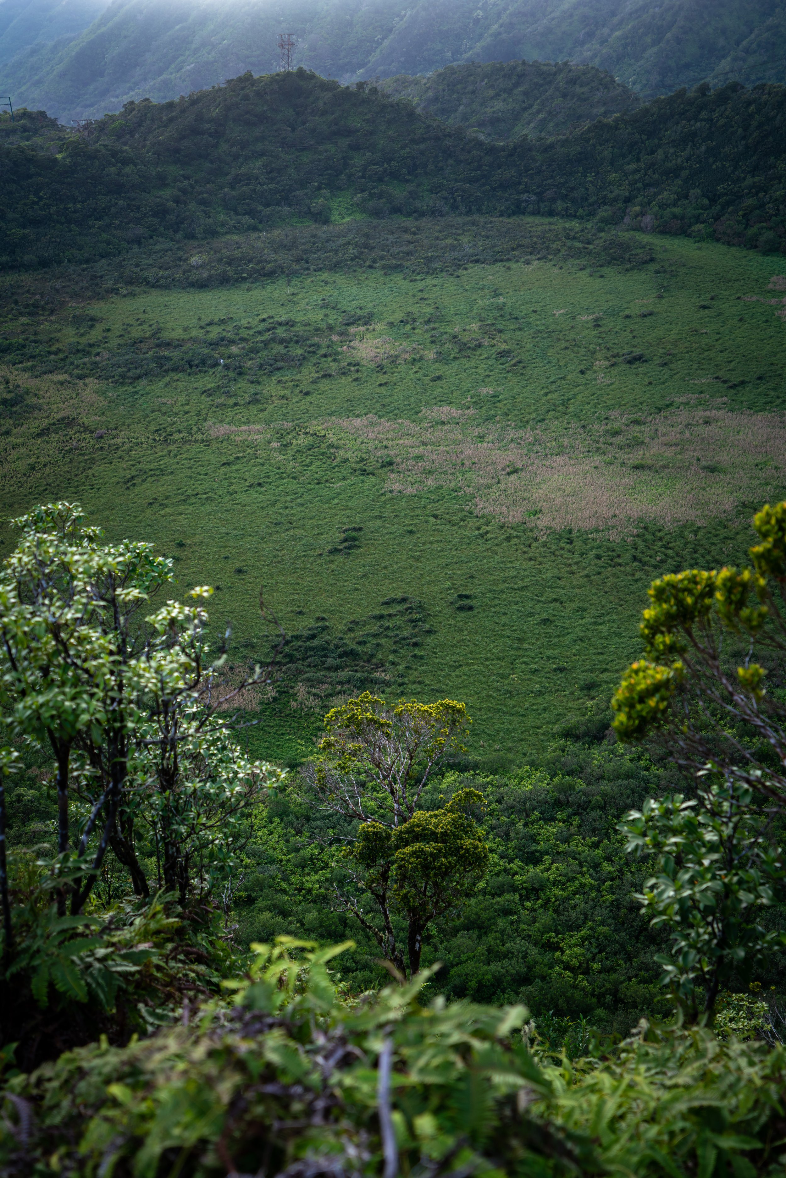
Starting from Kīpapa Summit, the trail gives you high hopes that it won’t take you that long to descend, especially when you get a view of the contour trail heading down from the ridge above.
However, we left the summit a few minutes after 3 p.m. and didn’t make it to the Dole Plantation bridge until around 9:15 p.m.!
With that in mind, I thought we would be on the ridge until midnight, given the pace the overgrowth would let us move.
Initially, the first section off of the summit is very straight forward until the area in the two photos below.
Here, you need to leave the ridge that you’re on and make a sharp u-turn where you see the Loulu palm in the second photo below.
While I don’t have a photo of this next part, look for a little switchback that cuts back the other direction when you descend close to the stream bed.
If you miss this little switchback, the bushwhacking will be miserable, as the real trail follows the stream bed for a few steps before continuing on the other side.
Kīpapa Cabin
The Kīpapa Cabin will be located almost exactly 2.0 miles (3.2 km) down the ridge, and it took us about two hours to get there from the summit.
In my experience, the door wouldn’t close shut.
No matter how hard I tried, it wouldn’t latch.
After the cabin, don’t get the impression that the trail looks like the photo below. You will get very few of these little nice sections when the Uluhe stops, but other than that, prepare to swim in the overgrowth.
I obviously don’t have pictures of the worst of it, but this is a pig tunnel trail, meaning that your feet will be the only part of yourself that will have a place to stand on the flat ground below. However, everything above that will be pushing through some of the worst overgrowth you can imagine.
It also means that there are sections where you will have to crawl through the pig tunnels. There’s really no other way to get through some of these sections. I think the worst one was about 30 ft. (9.1 m) of army crawling through a tunnel because of some fallen-down trees.
These two photos here are really the best case scenario, but these parts don’t last long.
This is the last photo I could get before dark, which I hope serves a reminder to pack a headlamp for what will likely be a long hike out in the dark!
In any case, know that the overgrowth on the trail doesn’t start to let up until the last 1.5 - 2 miles (2.4 - 3.2 km) before the ranch. If the trail didn’t start to become slightly more maintained near the bottom, we easily would have been on the ridge from 3 p.m. until midnight, like I thought.
Furthermore, I may have hated the palm grass toward the bottom of the trail more than the slow-moving Uluhe toward the top because it stirred up all of this dust in the air that kept making us sneeze and cough for what felt like forever!
Koa Ridge Ranch [Private Property]
On a different note, Koa Ridge Ranch is private property, and hiking should not be attempted without explicit permission from the ranch owners, as they do not want to be liable for hikers on their property.
Dole Plantation Road Bridge
At the end of Koa Ridge Ranch, the hike ends above the H-2 Freeway on the bridge shown below.
H-2 Freeway
This was just about the weirdest place imaginable for an Uber pick-up, but we made it work.
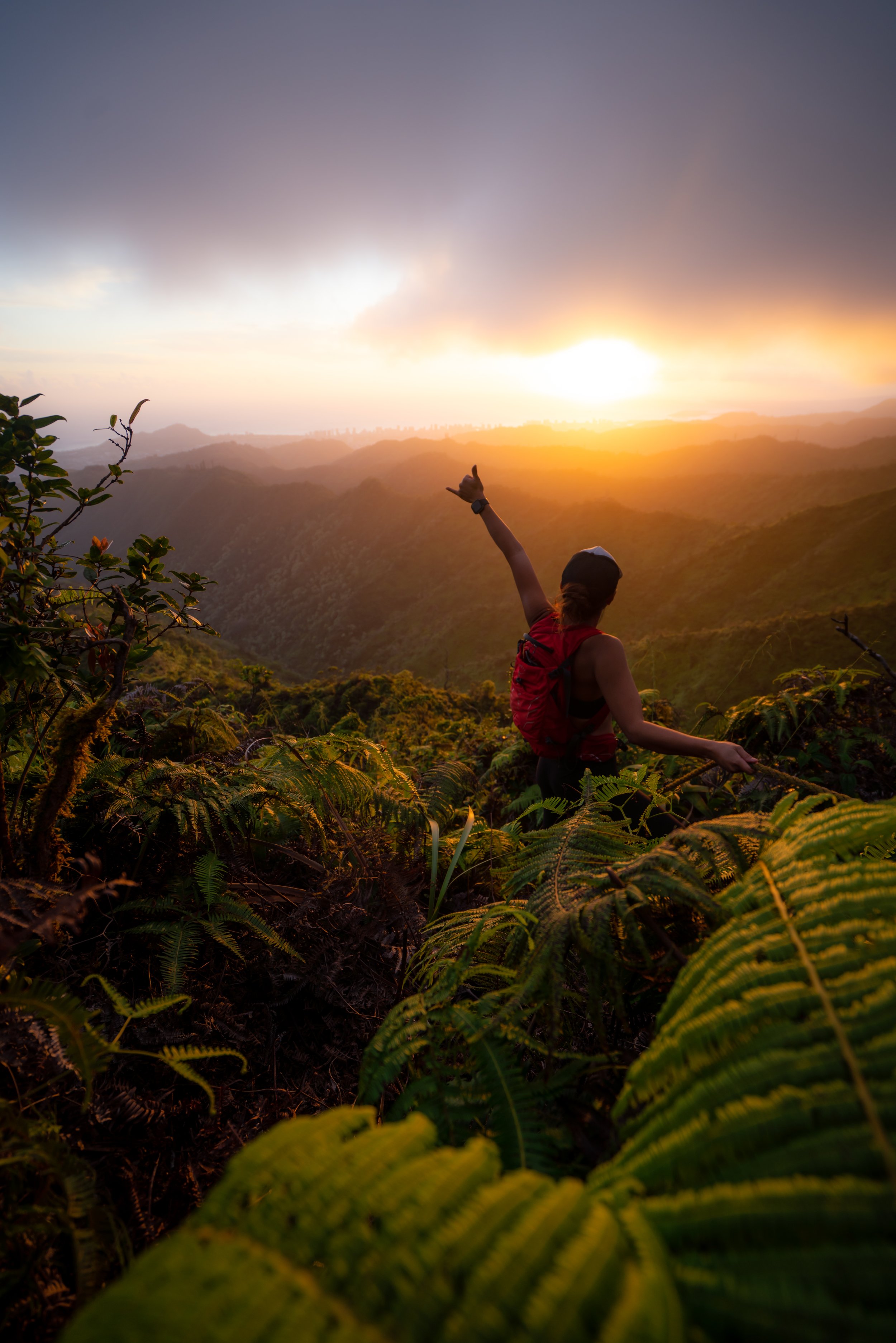
In any case, I don’t think I’ll be doing Kīpapa Ridge again, but best of luck if you’re giving it a go! ᨒ 🤘🏼
Native Plants on the Kīpapa Ridge Trail
The upper elevations of Kīpapa Ridge are one of the most native and biodiverse habitats on Oʻahu, and I say this for two reasons.
First, enjoy the native plants that can be challenging to see elsewhere, but I kindly ask that you do your part to minimize your impact in this sensitive environment.
Some of my favorites on the trail were the Koʻolau Loulu Palms, Kokolau, and Aʻe trees, to truly only name a few.
If you would like to learn more about these and many other native Hawaiian plants from across the islands, I encourage you to check out my separate post.
Read My Separate Post: Native Hawaiian Plant Guide


