Hiking the Stateline Lookout Trail in Lake Tahoe, California & Nevada
Distance (One Way to Lookout): 0.75 miles / 1.2 km
Distance (One Way on Summit Loop): 0.4 miles / 0.6 km
The Stateline Lookout Trail, also called the Crystal Bay Lookout Trail, on the Nevada–California state line in Lake Tahoe, is a fun and easy day hike near Kings Beach and Incline Village that follows a paved road up a short hill to the site of a historic 1930s-era fire lookout at the summit!
That said, the Crystal Bay Fire Lookout no longer exists today, as it was dismantled in 2002 when advances in wildfire detection had made staffing the tower too costly and largely obsolete to justify continuing operations.
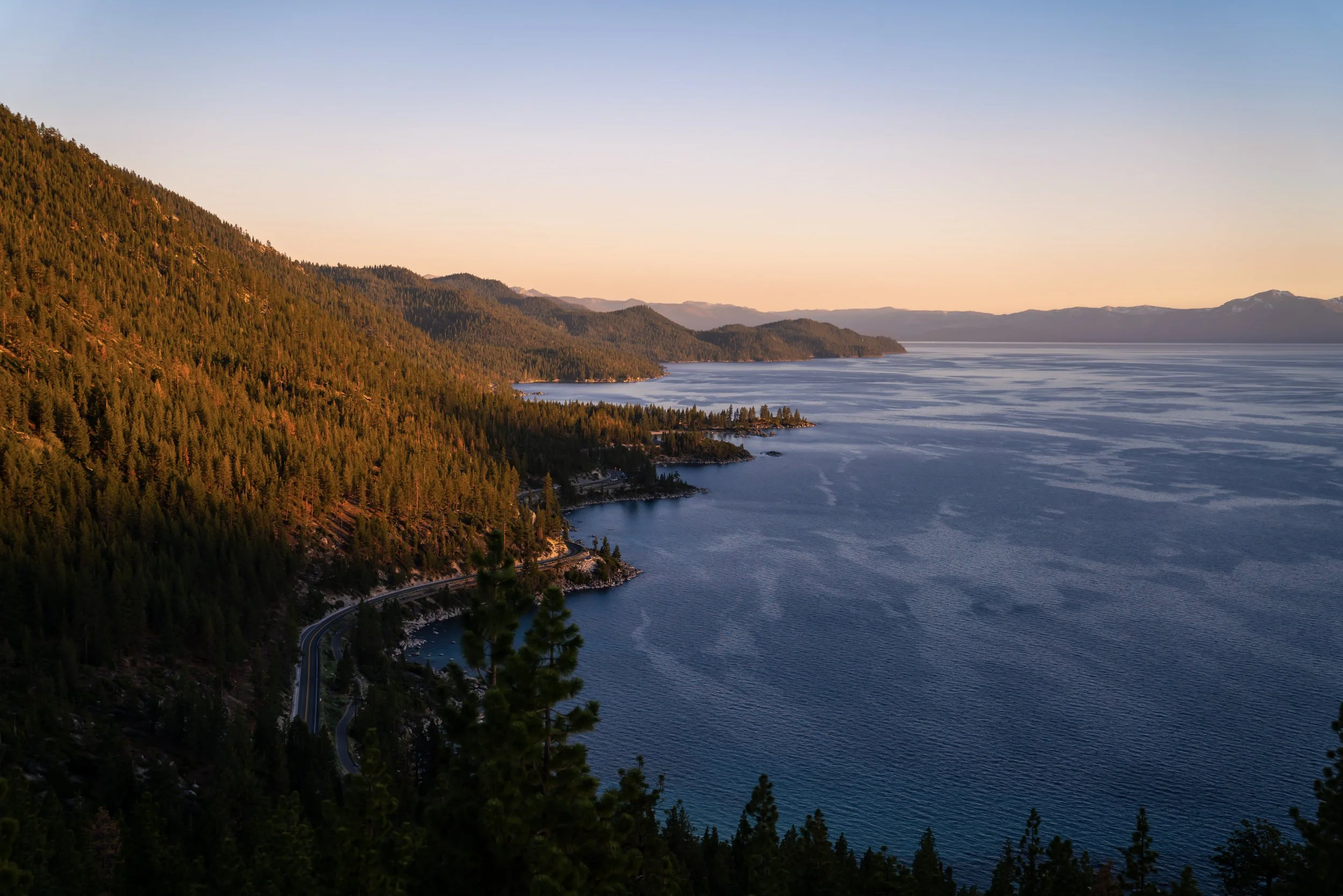
Today, a beautiful panoramic overlook now stands in its place, with views across much of North Lake Tahoe—particularly toward Kings Beach to the west—which is what makes the short out-and-back trail one of the best easy sunset hikes on any side of the lake!
Stateline Lookout Trailhead Parking
Parking for the Stateline Lookout Trail is located on Lakeview Avenue, near the junction with Lookout Road, the paved road that leads to the summit.
When looking for a spot, know that parking is only allowed on the right-hand side of the road, which is strictly enforced, given how narrow the street leading to the trail is.
Google Maps Directions: Stateline Lookout Trailhead
Hiking Checklist - Lake Tahoe
The Lake Tahoe Basin is Black Bear country, and, as with any area that is home to Black Bears, hiking with or without bear spray is up to your own discretion and comfort level.
With that in mind, here is a complete list of must-have things that you will want for any hike in the Lake Tahoe Basin.
Hiking the Stateline Lookout Trail
The Stateline Fire Lookout Trail begins at the junction of Lakeview Avenue and Lookout Road, where the hike follows Lookout Road for the entire distance to the former site of the Crystal Bay Fire Lookout.
From this sharp hairpin turn at the beginning of Lookout Road, the trail begins a roughly 0.5-mile (0.8 km), 250-ft. (76 m) ascent to the loop at the very top.
From the hairpin turn to the loop at the top, there are essentially no breaks from the constant uphill climb, which is why some hikers may want to use trekking poles on the short but steep ascent.
California–Nevada Stateline
This is where the Stateline Lookout Trail leaves Nevada and enters California.
Aside from poles, a good sun shirt is very useful on the Stateline Lookout Trail, as the east-facing road receives a lot of sun from the moment the sun rises in the morning until late in the evening, which is hopefully evident from the photos here!
Stateline Lookout-Saddle Junction
Apart from the loop at the top, the only junction on the Stateline Lookout Trail is this little-known connection with the Saddle Trail—a separate trail primarily used for biking and trail-running through the forests above Kings Beach.
That said, go straight to continue on the paved road toward the historic lookout at the top.
Stateline Lookout-Stateline Lookout Loop Junction
When the Stateline Lookout Trail levels out at the top of the hill, a paved trail crosses the main road, which is the start of the loop around the perimeter of the hill.
Personally, I recommend hiking the 0.4-mile (0.6 km) loop, whether at this point or after hiking to the lookout straight ahead, as there is a lot more to learn about the area from the signs scattered throughout the loop.
End of Lookout Road
This open area is the very end of Lookout Road, located just steps from the actual lookout.
Once here, go right to continue on the main trail to the end, but the path on the left is a short connector to the loop, which I recommend following after hiking to the main viewpoint, as it is the easiest way to begin the short 0.4-mile (0.6 km) loop around the perimeter.
Stateline Lookout (Lookout Point)
This is where the Stateline Lookout Trail finally reaches Lookout Point, the site of the historic Crystal Bay Fire Lookout, built in 1936.
However, there is no lookout at the summit today, as it was dismantled in 2002 when newer fire-reporting technology replaced the costly need to hire seasonal workers to staff the lookout.
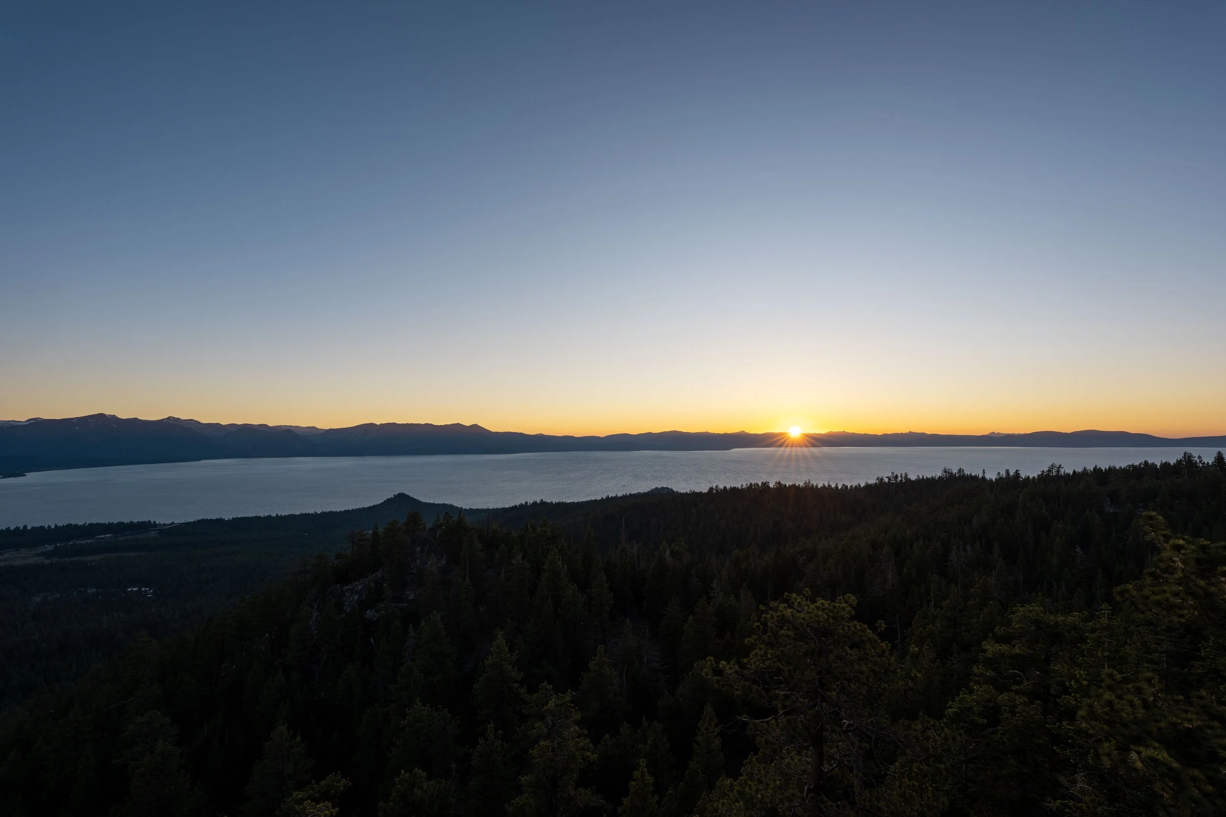
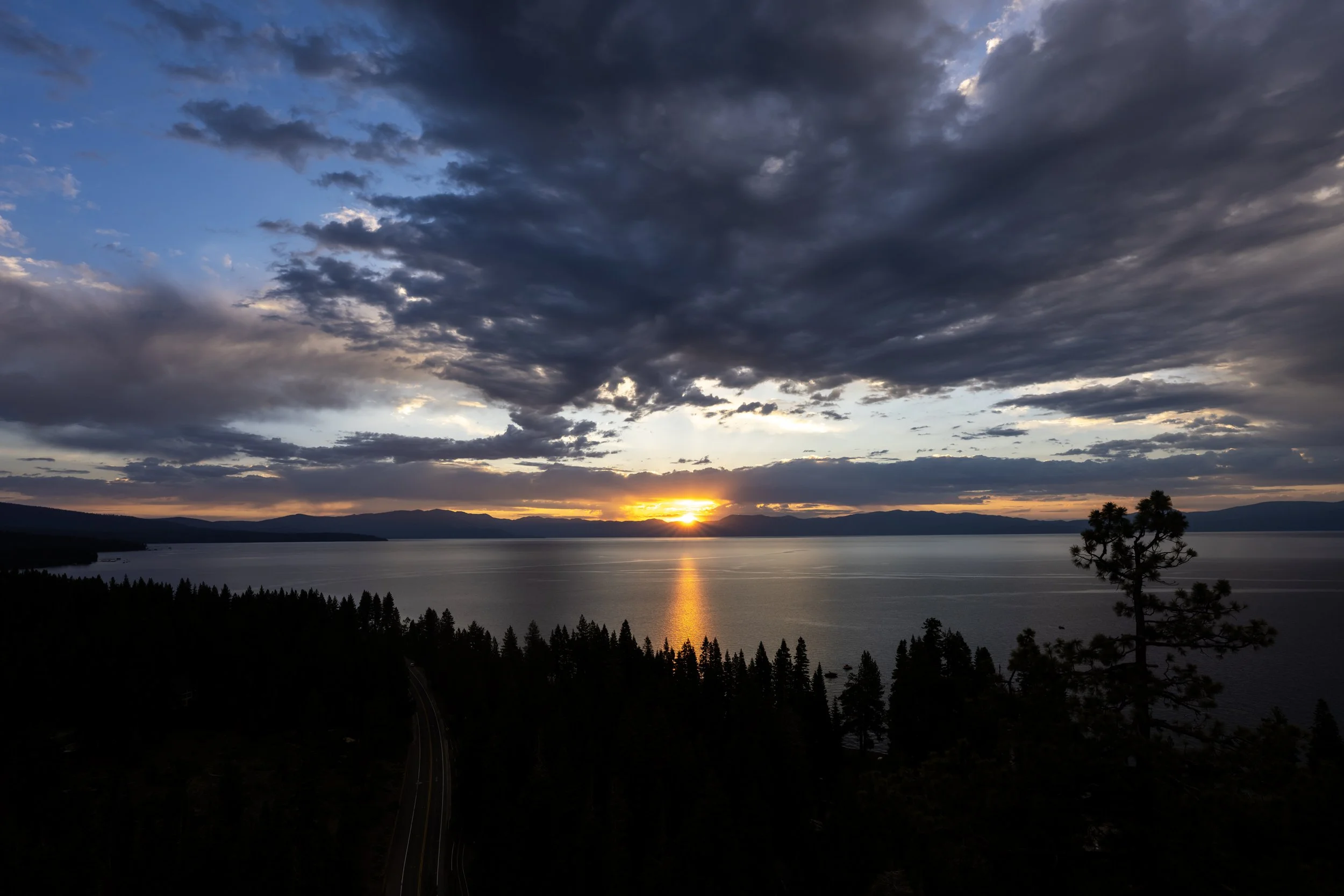
These west-facing views are the reason Lookout Point is such a great, easy place to catch the sunset—especially since the hike back is so short—which also makes it much easier to find food nearby before the restaurants in Kings Beach and Incline Village close for the evening!
End of Lookout Road
After hiking back down from the lookout, I recommend going right at the top of the road and following the short path to the Stateline Lookout Loop Trail, as previously mentioned.
This is the short path that leads down to the loop.
Stateline Lookout Loop Trail
This is where the short path meets the 0.4-mile (0.6 km) paved loop around the historic Crystal Bay Fire Lookout.
Other than Lookout Point, just up the hill, the west side of the loop can also be a great place to catch the sunset—and it’s usually a little less crowded than the viewpoint above!
Just before the Stateline Lookout Loop crosses to the other side of Lookout Road, the trail passes a second junction for a trail that leads to the Saddle Trail, the hike that previously branched away near the Nevada–California state line.
This connection is about 0.9 miles (1.4 km) each way, but it is likely of no interest to most hiking the Stateline Lookout Trail mentioned here.
All that to say, go straight to continue on the paved path back to Lookout Road, just ahead.
Stateline Lookout-Stateline Lookout Loop Junction
This is where the Stateline Lookout Loop and Lookout Road meet again—the same junction at the top of the hill shown above.
At this point, it’s easy enough to go left and begin the return hike to the trailhead, but to complete the rest of the loop, go straight across the road.
The Stateline Lookout is widely regarded as a great sunset hike, but don’t overlook the trail for sunrise too, as the east side of the loop shown here also has several panoramic viewpoints toward Incline Village and Sand Harbor beyond!
This is where the Stateline Lookout Loop completes the 0.4-mile (0.6 km) loop and returns to the short connector between this point and the top of Lookout Road.
If you followed the trail as shown in this article, go right to return to Lookout Road and begin hiking back to the trailhead, about 0.75 miles (1.2 km) from this point.
California
Nevada