Hiking the Captain Pomin Trail in Lake Tahoe, Nevada
Distance: 2.4 miles / 3.9 km
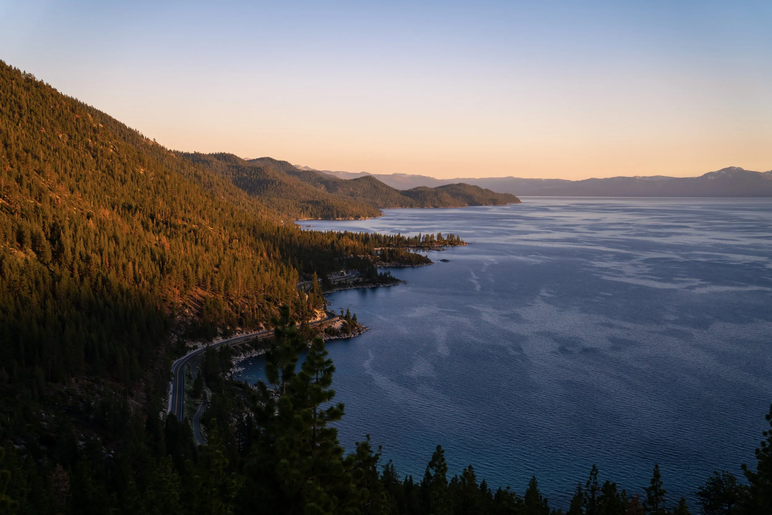
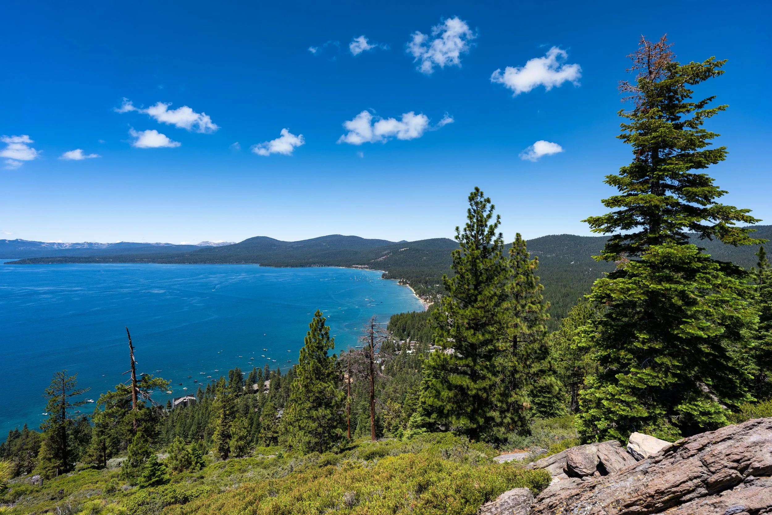
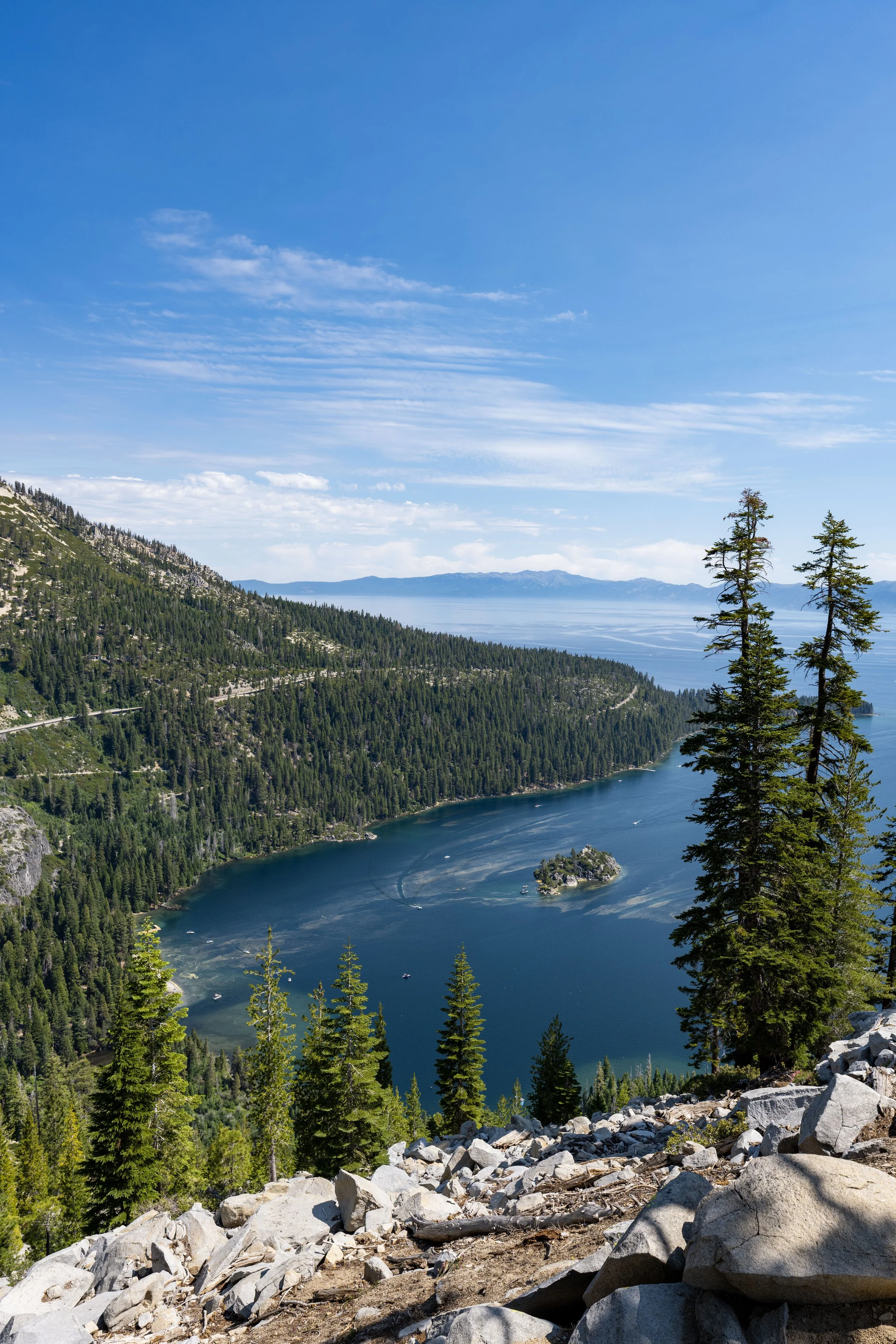
The Captain Pomin Trail, also called the Captain Pomin Rock Trail, on the Nevada side of Lake Tahoe, is a little-known day hike—or sunset hike—near Spooner Lake that winds its way to a beautiful west-facing granite rock formation overlooking Glenbrook and much of Lake Tahoe!
Now, what my thoughts above don’t say is that the Captain Pomin Trail is a very vague and often poorly marked trail, unlike the much more popular Castle Rock Trail to the south, where every major turn has signage.
On the contrary, the Captain Pomin Trail makes a number of very abrupt, unmarked turns, which can mean the difference between getting lost in the forest and making it to the viewpoint at the end.
However, I have every important turn shown below, which is why I highly recommend reading this article closely in order to stay on the correct path and avoid getting off track.
Captain Pomin Trailhead Parking
Parking for the Captain Pomin Trail is located alongside a short side street off Highway 28 near Spooner Junction—the same dead-end road that also leads to the Spooner Summit Watercraft Inspection Station.
Before visiting, know that neither the Captain Pomin Trailhead nor the parking area for the trail is marked, but parking can be found anywhere near the T-intersection off the highway.
Google Maps Directions: Captain Pomin Trailhead
Hiking Checklist - Lake Tahoe
The Lake Tahoe Basin is Black Bear country, and, as with any area that is home to Black Bears, hiking with or without bear spray is up to your own discretion and comfort level.
With that in mind, here is a complete list of must-have things that you will want for any hike in the Lake Tahoe Basin.
Hiking the Captain Pomin Trail
As previously mentioned, the Captain Pomin Trailhead is not marked, but it can be found east of the T-intersection, on the right-hand side when walking toward the watercraft inspection station at the end of the road.
Immediately after leaving the road, the Captain Pomin Trail climbs steeply up the hillside before leveling out after about 0.1 miles (0.2 km).
Right when the hike levels out at the top of the first hill, the Captain Pomin Rock Trail comes to the first of four vague, unmarked turns.
This first side trail branches away to a local climbing rock, but to continue on the correct path, go right, and the hike will reach the second unmarked turn shortly ahead.
After just 0.2 miles (0.3 km), the Captain Pomin Rock Trail reaches the second of the four vague turns.
This is arguably the most important turn to remember on the way back down because it is the easiest to miss—especially when hiking back in the dark after sunset!
In any case, go left up the hill to continue on the Captain Pomin Rock Trail, but before leaving, I recommend taking some photos or, at the very least, stopping to make a mental note of this right-hand turn for the way back down.
The third turn is located at the top of this short but steep hill.
This is the third vague turn on the Captain Pomin Trail, and, of all the turns thus far, I believe it is the easiest to miss on the hike to the rock, unlike the previous one shown, which is easiest to miss on the way back.
That said, the Captain Pomin Trail makes an abrupt, hard right turn off the much more obvious trail heading straight, which will start to head downhill if you hike too far. That is really the best way to know you’ve missed the third turn.
After the first three turns—all of which are located within the first 0.25 miles (0.4 km)—the Captain Pomin Rock Trail becomes much easier to follow, as there are no more unmarked turns for the next 0.7 miles (1.1 km).
This section, between the third turn and Captain Pomin Rock at the end, is quite steep at times, which is why some hikers may want to bring trekking poles.
In addition to poles, I highly recommend wearing a hooded sun shirt on the Captain Pomin Trail, as trails dominated by Ponderosa Pines across the West are notorious for being very exposed!
Who is the Captain Pomin Rock Named After?
Captain Pomin Rock is named after Captain Ernest John Pomin, the first and longest-serving captain of the S.S. Tahoe, a passenger and mail steamship that once traveled across Lake Tahoe in the late 1800s until his retirement in 1917.
Today, visitors can learn more about this history, including Captain Pomin and the S.S. Tahoe, at the Gatekeeper’s Museum in Tahoe City.
This often-overlooked plant in the photo below is known as the Snow Plant, and I highlight it because it is a very unique plant found only in western North America.
By this, I mean that the species belongs to what is known as a monotypic genus—or, in simpler terms, it is the only species of its kind within its genus.
A better way to understand this is to think about Maple trees, which is really a broad way of describing many different species of Maple, including Black Maples, Silver Maples, Red Maples, and others.
However, the Snow Plant is the only one of its genus—or, in other words, kind—meaning that the species shown here is the only one like it on Earth!
Now, all this doesn’t even mention that Snow Plant is a parasitic plant that steals nutrients from fungi attached to tree roots, which is yet another reason why I think it’s definitely worth a photo, at the very least, if you happen to see one while hiking around Lake Tahoe!
After roughly 0.9 miles (1.4 km), the Captain Pomin Trail reaches the fourth and final unmarked turn—though this one is nowhere near as misleading as the prior three.
I say this because, if you miss this right-hand turn and instead walk straight, you’ll quickly notice that the path leading up the little hill is not the correct route.
All that to say, go right at this final vague junction to continue hiking up to Captain Pomin Rock.
After the fourth turn, there is only 0.2 miles (0.3 km) left before the Captain Pomin Trail finally reaches the base of the elusive rock!
At the top of the little dip in the trail, Captain Pomin Rock can finally be seen through the trees for the first time!
Once at the base of Captain Pomin Rock, follow the trail around the east side of the rock to find the easiest path to the top.
That said, I have no doubt that there are other ways to the top by simply scrambling up from this point, but why make the hike harder than it needs to be?
This is where the Captain Pomin Rock Trail begins the short, steep climb to the summit on the east side.
At about the halfway mark, hikers have the option to go either right or left.
Personally, I recommend going left, as shown below, because it’s a more direct route to the true summit, and the trail is a little less loose than the path up the right side.
This short scramble to the top is easier than taking the loose trail up the right side, as previously mentioned.
Captain Pomin Rock
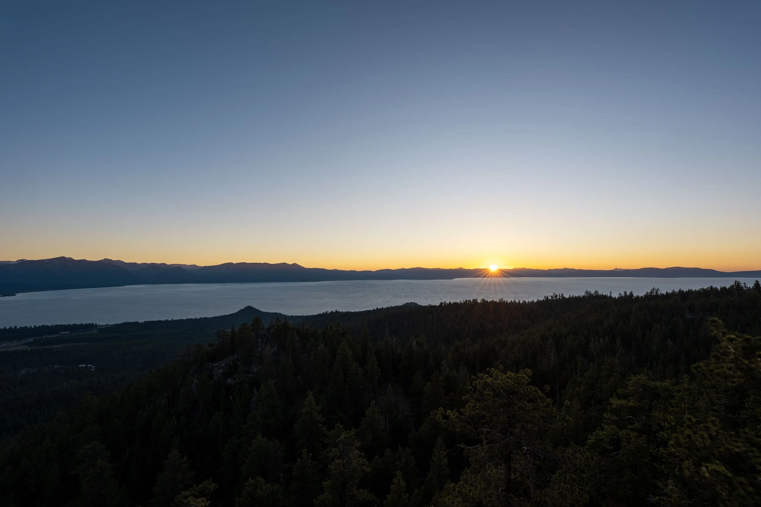
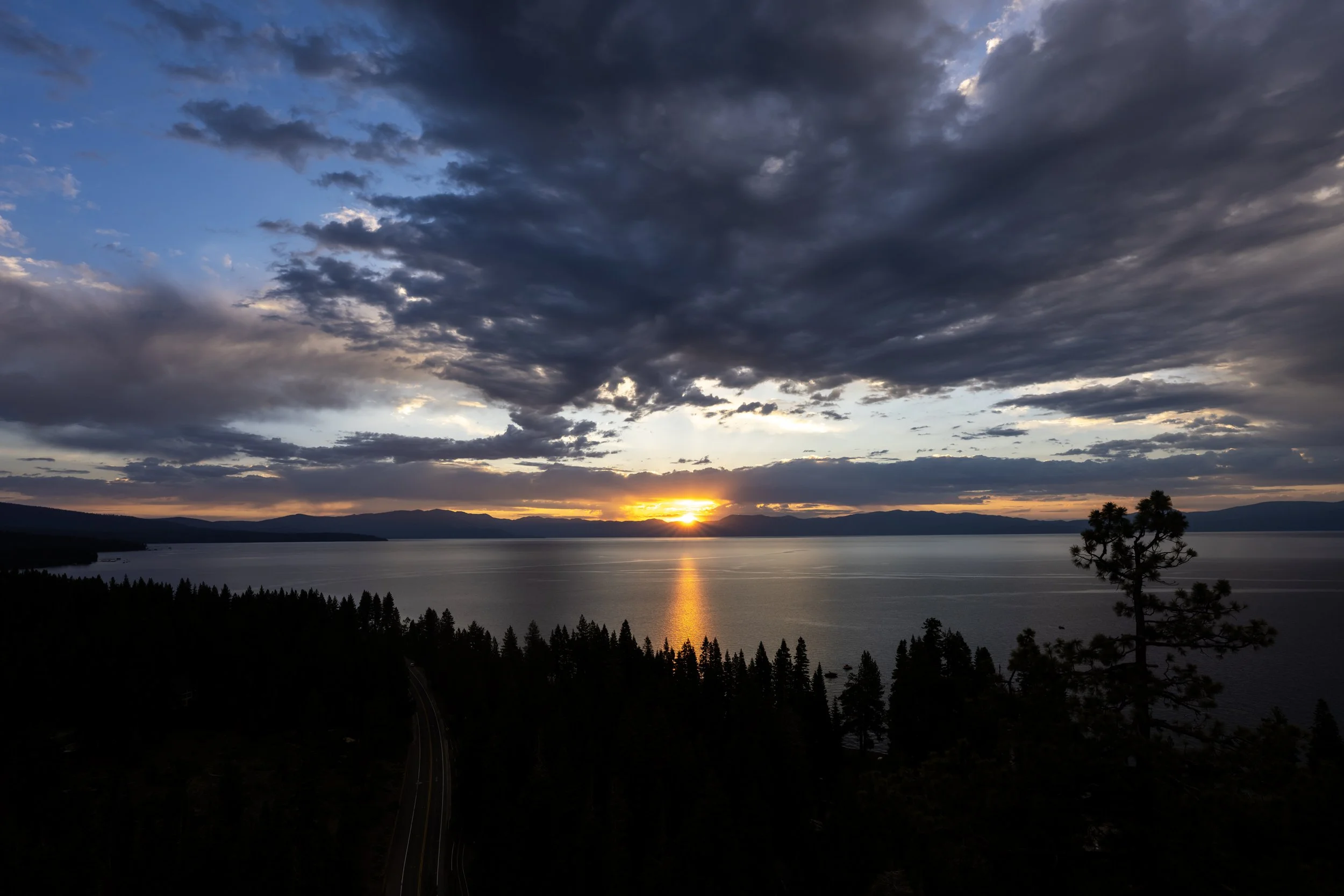
This is the summit of Captain Pomin Rock, and it’s one of my favorite sunset hikes in the Lake Tahoe Basin for a number of reasons—including the view—but more so because the trail is very quiet, even in the middle of the day!
To that point, the Captain Pomin Trail is even quieter at sunset, as seemingly few are up for the very vague hike back in the dark!
That said, do not forget to bring a good headlamp if you’re considering a sunset hike, as remembering and retracing all the unmarked turns is essential to making it back safely in the dark!
California
Nevada