Hiking the Maggie’s Peak Trail in Lake Tahoe, California
Distance: 4.4 miles / 7.1 km
Elevation Gain: 1,780 ft. / 543 m
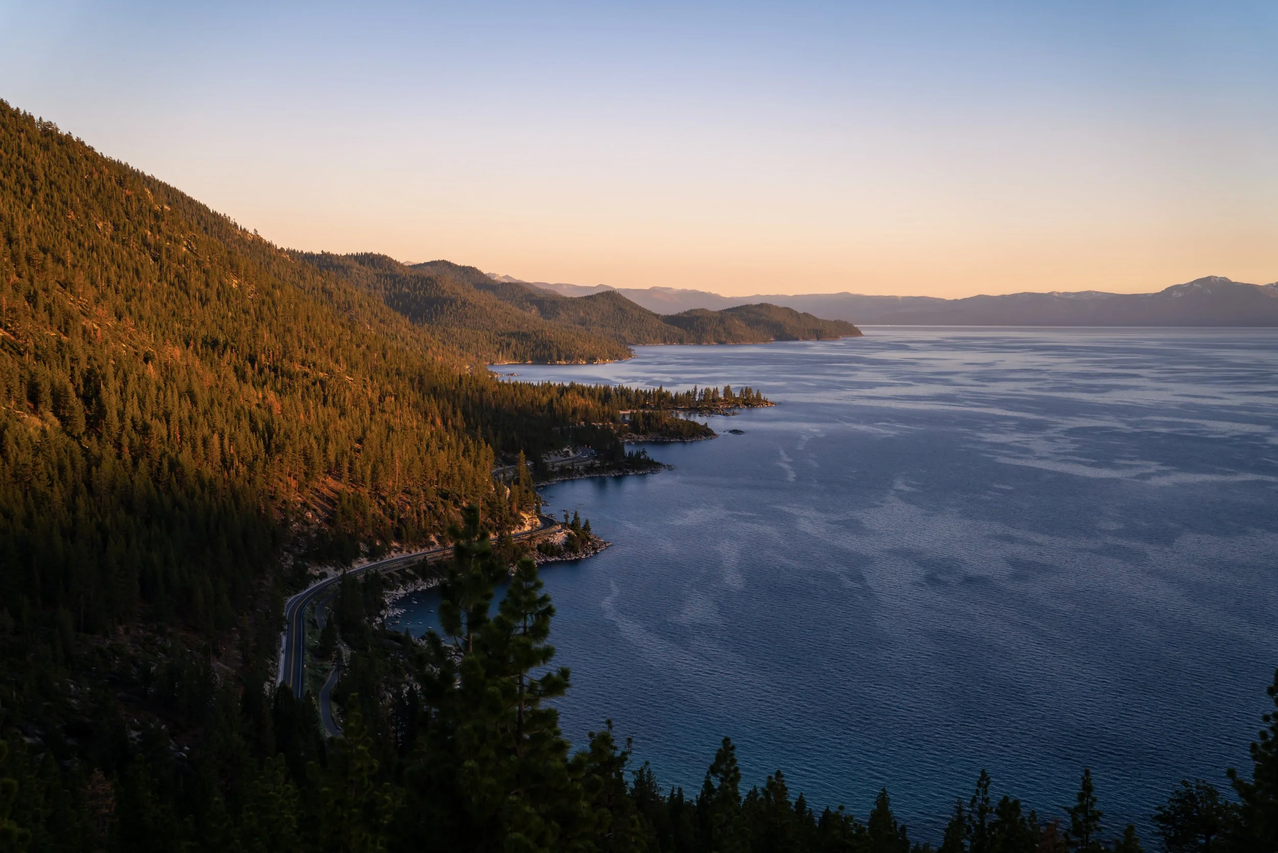
The Maggie’s Peak Trail, on the California side of Lake Tahoe, is a beautiful panoramic day hike above Emerald Bay and Cascade Lake, where hikers get to enjoy expansive 360º views above the lake and the greater Desolation Wilderness!
Now, it must be said that the Maggie’s Peak Trail is an almost all-uphill adventure, gaining nearly 1,800 ft (549 m) of elevation in just 2.2 mi (3.5 km).
However, if you think you’re up for the challenge, Maggie’s Peak can be a great trail at any time of the day—especially during the mid-summer months, because Granite Lake, located just beneath the peak, is such a great place to cool off on the way back down!
Maggie’s Peak Trailhead Parking
Parking for the Maggie’s Peak Trail is located on the south side of Emerald Bay within the paid Bayview Day-Use Area.
That said, the Bayview Day-Use Area is a U.S. fee area managed by the U.S. Forest Service, which does not accept any kind of federal recreation passes in lieu of the parking fee.
Google Maps Directions: Maggie’s Peak Trailhead
Hiking Checklist - Lake Tahoe
The Lake Tahoe Basin is Black Bear country, and, as with any area that is home to Black Bears, hiking with or without bear spray is up to your own discretion and comfort level.
With that in mind, here is a complete list of must-have things that you will want for any hike in the Lake Tahoe Basin.
Hiking the Maggie’s Peak Trail
Maggie’s Peak-Cascade Falls Junction
The Maggie’s Peak Trail begins at the joint Bayview Trailhead, which serves both the hike to Granite Lake, Maggie’s Peak, and the greater Desolation Wilderness, as well as the much more popular Cascade Falls Trail in the opposite direction.
If you have the time, I recommend hiking both when visiting the Bayview Day-Use Area.
However, to begin the Maggie’s Peak Trail—also known as the Bayview Trail—go right to start hiking up toward Granite Lake.
Read My Separate Post: Cascade Falls Trail
Shortly after leaving the Bayview Trailhead, the Maggie’s Peak Trail begins a series of seven switchbacks, at which point the trail parallels Granite Creek for the rest of the hike to Granite Lake.
These switchbacks can be steep at times, which is why some hikers may want to use trekking poles—especially considering that the hike is almost never flat!
Desolation Wilderness Boundary
This is where the Maggie’s Peak Trail enters the Desolation Wilderness, located about 0.5 miles (0.8 km) from the Bayview Trailhead.
Granite Creek
This is the only time the Maggie’s Peak Trail crosses Granite Creek on the hike to the summit.
This view faces north toward Emerald Bay, and, if you look closely, yellow Jeffrey–Ponderosa Pine pollen can be seen floating on the surface of the water!
This is common in early summer months, particularly in May and June, but this natural phenomenon eventually subsides as the season progresses.
This is where the Maggie’s Peak Trail starts paralleling Granite Creek at the top of the switchbacks, roughly 0.4 miles (0.6 km) before Granite Lake.
On this day, I passed a couple who told me there was a bear spotted along the trail, and while I didn’t see it myself, remember that it’s always important to keep making noise as you hike on any trail around Lake Tahoe.
Maggie’s Peak-Granite Lake Junction
After 1.1 miles (1.8 km) and 820 ft. (250 m) of elevation gain, the Maggie’s Peak Trail reaches a short path that leads down to Granite Lake.
That said, go left to follow the easiest path down to the water, or go straight to continue hiking up to Maggie’s Peak.
This is the short path down to Granite Lake.
Granite Lake
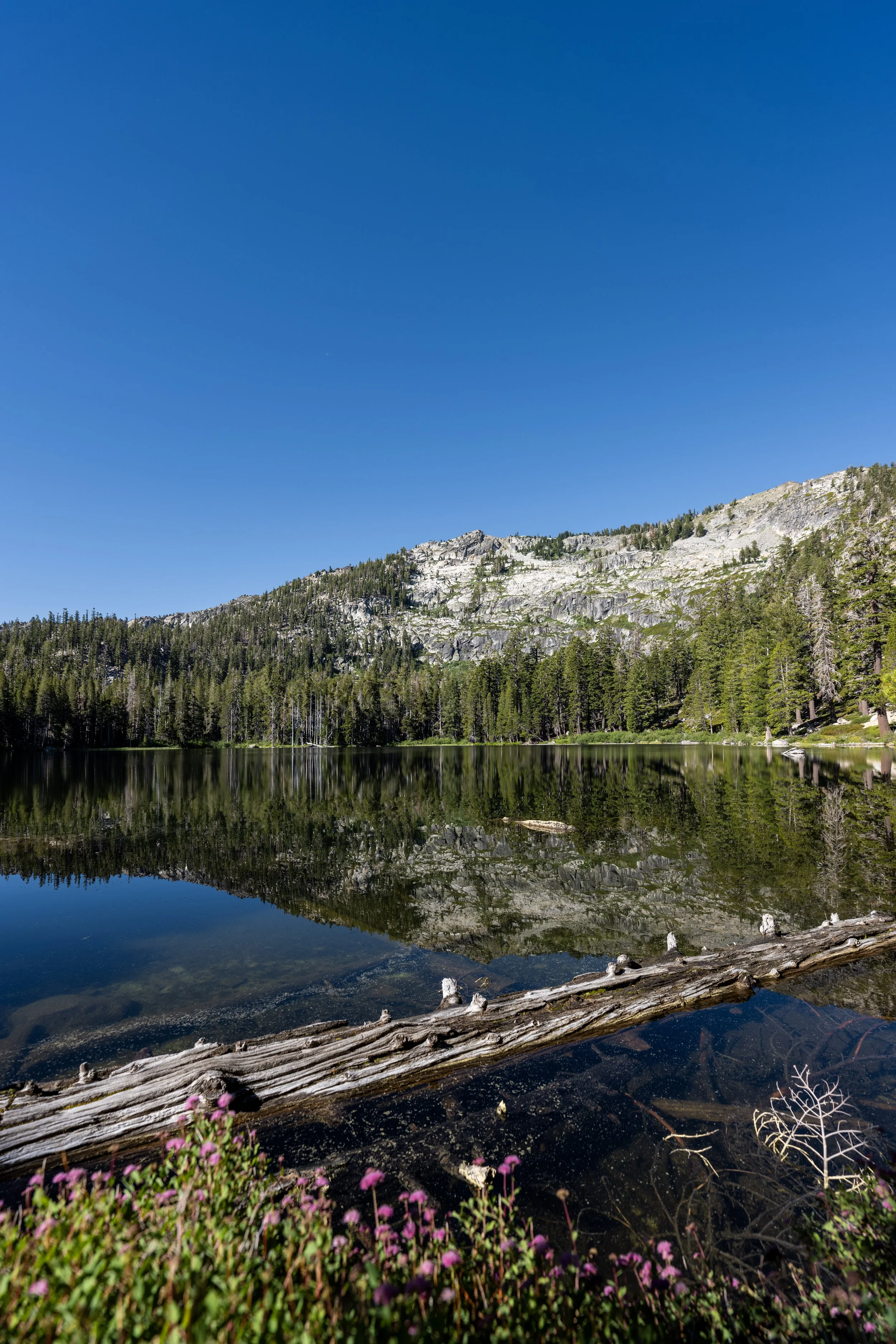
Granite Lake is a beautiful 6-acre (24,281-square-meter) alpine lake located right at the base of Maggie’s Peak.
Personally, I like to hike down to Granite Lake and swim after climbing Maggie’s Peak, as it’s the best way to cool off during the mid-summer months before continuing down the rest of the 1.1-mile (1.8 km) trail to get back to the Bayview Trailhead.
After Granite Lake, the Maggie’s Peak Trail begins a second series of seven switchbacks on the way up to the saddle between North and South Maggie’s Peak.
Since there is so much sun exposure on the Maggie’s Peak Trail from the early morning hours until late afternoon, I highly recommend wearing a hooded sun shirt to stay safe—especially considering the high elevations above 7,000 and 8,000 ft. (2,134 and 2,438 m).
This is where the Maggie’s Peak Trail begins its longest switchback before the saddle, totaling about 0.25 miles (0.4 km) before it turns again.
Along with a sun shirt, don’t forget to bring good polarized glasses for the Maggie’s Peak Trail, as the bright granite can reflect light like snow throughout much of the day!
This is the view looking north toward Granite Lake, with Emerald Bay and Lake Tahoe beyond!
With about 0.1 miles (0.2 km) to go before the saddle, the Maggie’s Peak Trail turns the seventh and final switchback.
Maggie’s Peak-Bayview Junction
After 1.9 miles (3.1 km)—or 0.8 miles (1.3 km) from Granite Lake—the Maggie’s Peak Trail reaches the saddle between North Maggie’s Peak on the right and South Maggie’s Peak, or rather the true summit of Maggie’s Peak, on the left.
That said, go left to leave the Bayview Trail and begin the final 0.3-mile (0.5 km) ascent to the summit.
The final ascent to the summit of Maggie’s Peak is the steepest part of the entire hike, gaining roughly 320 ft. (98 m) in the final 0.3 miles (0.5 km).
Once again, trekking poles can be very useful on the Maggie’s Peak Trail—especially for the hike back down!
This first viewpoint at the top of the steep ascent is not the summit of Maggie’s Peak.
Rather, the true summit is just a short, one-minute walk up the ridge from this point, though the views may be a little better from this lower viewpoint!
Maggie’s Peak
This is the true summit of Maggie’s Peak, which, according to the USGS, stands at 8,699 ft. (2,651 m), or about 200 ft. (61 m) taller than the northern summit!
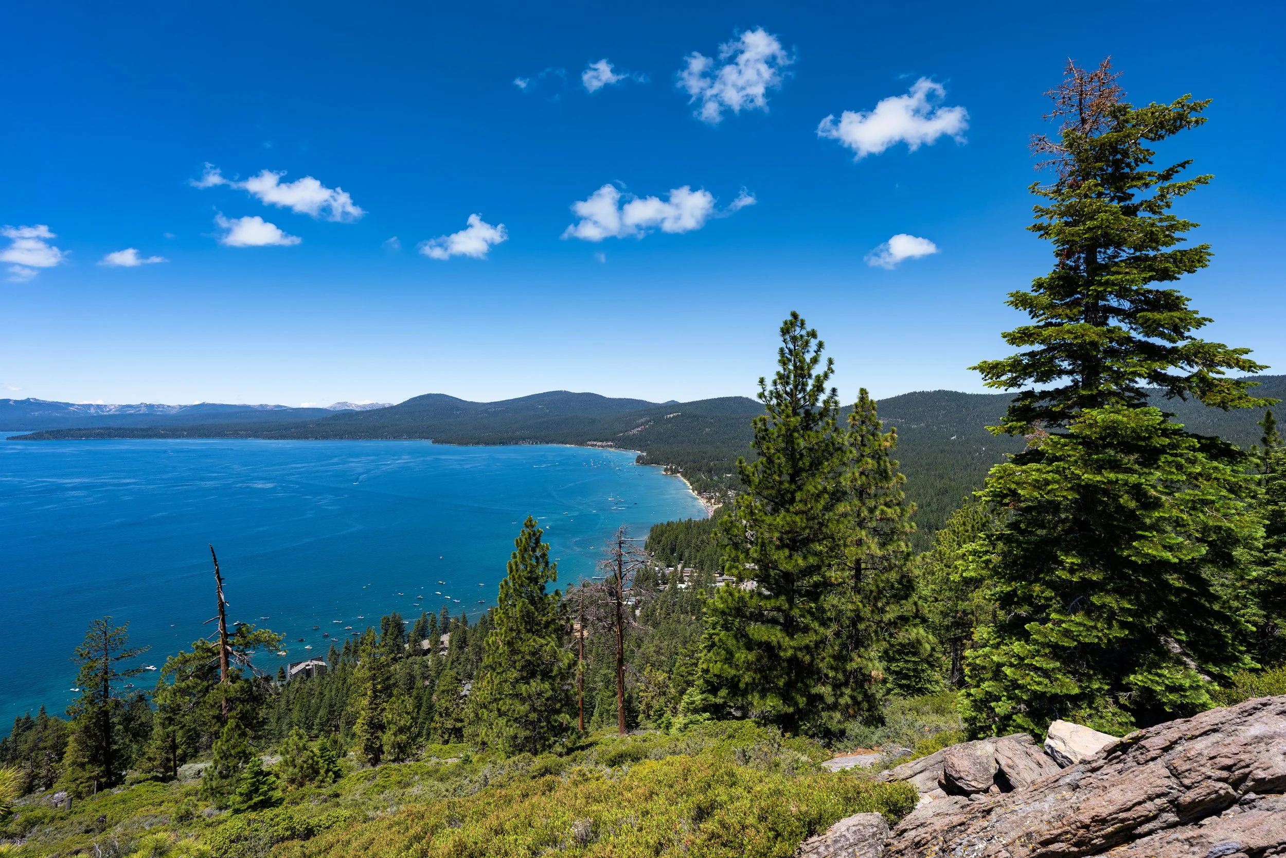
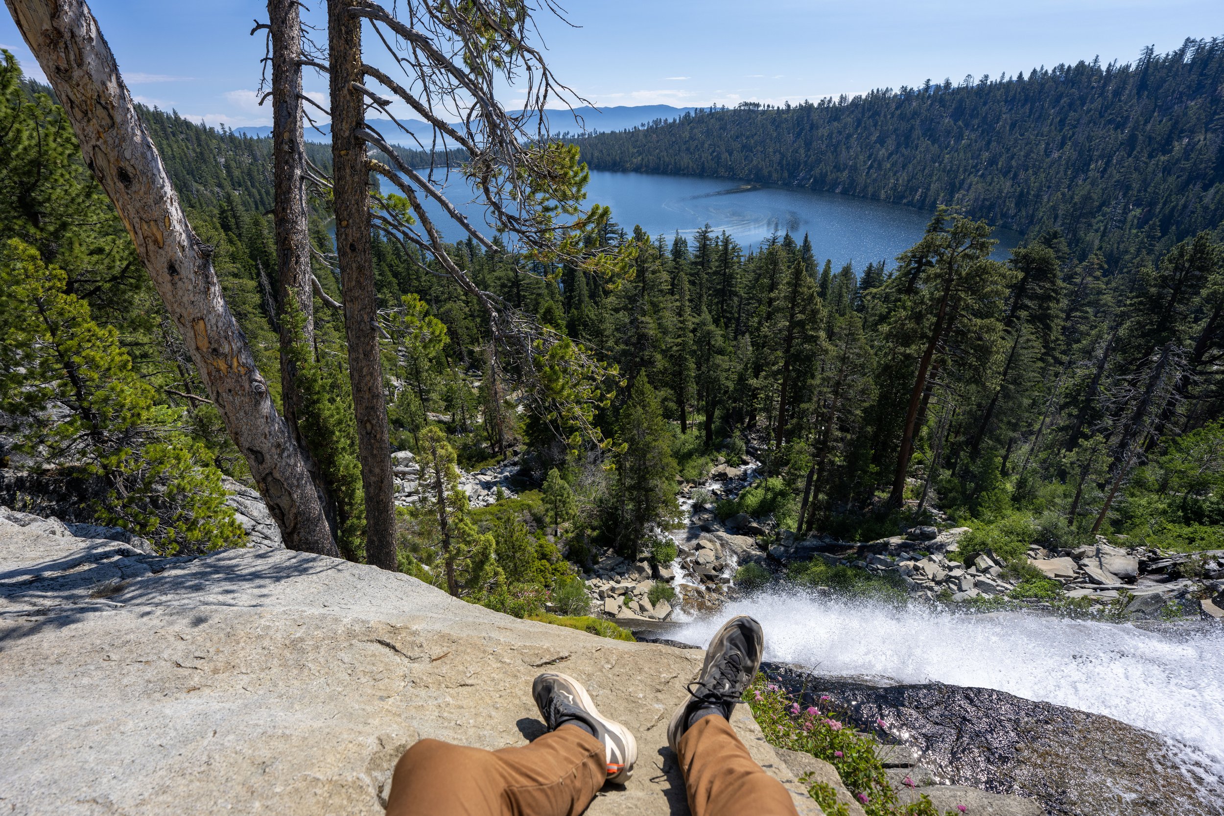
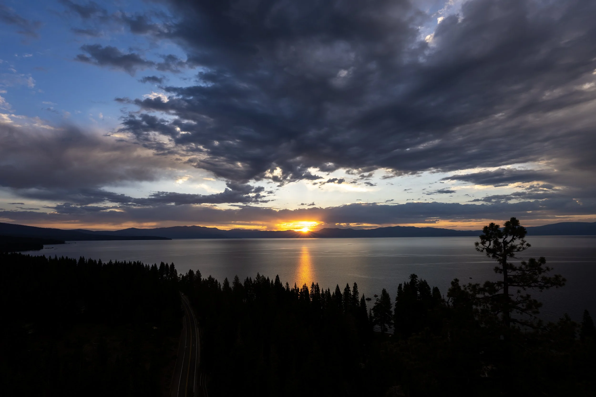
From the top, hikers can enjoy panoramic views looking across Lake Tahoe, with Cascade Lake, Emerald Bay, and Baldwin Beach being some of the closer landmarks in the photo below.
California
Nevada