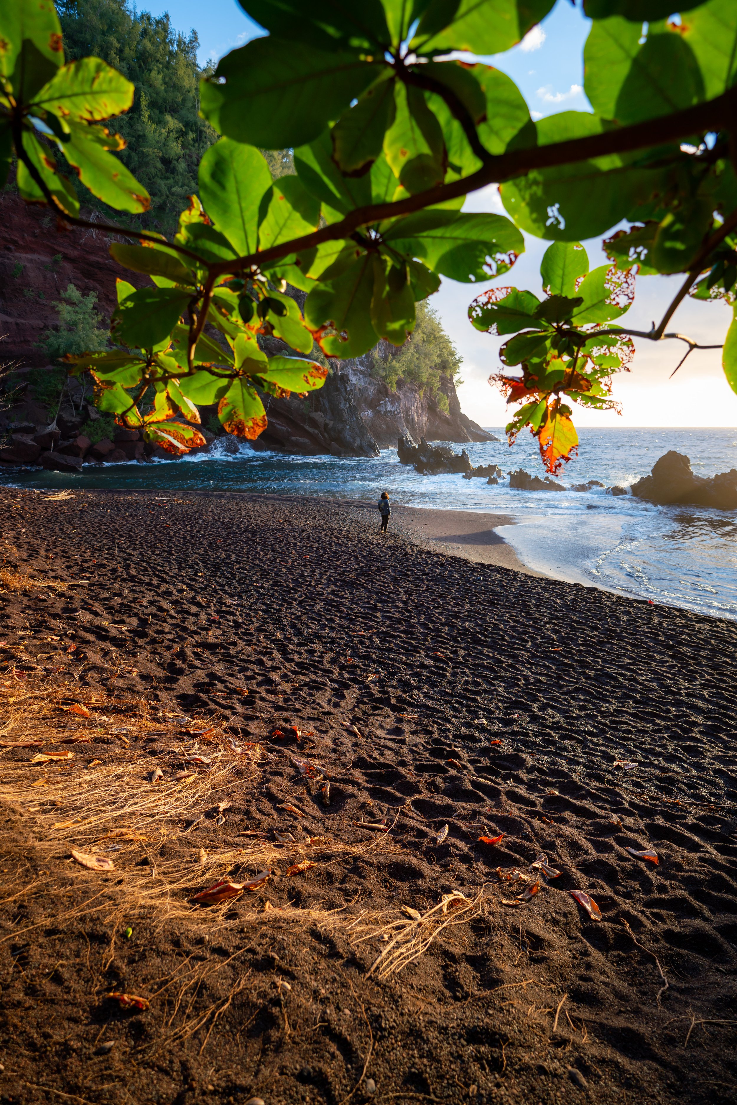
Hiking the Kahakapao Loop Trail on Maui, Hawaiʻi
Distance: 6.6 miles / 10.6 km
The Kahakapao Loop Trail on Maui is a relatively easy, beautiful, forested day hike in the Makawao Forest Reserve, and it’s one that I often consider to be the best trail-running hike on the island!
I say this because I don’t believe the distance is reflective of the trail’s difficulty, meaning the Kahakapao Loop Trail, in my opinion, moves much faster than most Hawaiʻi hikes of similar distance.
This is because the Kahakapao Loop is very gradual, ascending just 950 ft. (290 m) in roughly 3.3 miles (5.3 km) to the halfway point at the Renegade Trail junction.
All this to say, the Kahakapao Loop Trail is a great family-friendly Maui adventure, and if you aren’t up for all 6.6 miles (10.6 km), the loop can easily be shortened by taking one of several interconnecting trails back down, all of which can be seen throughout this article.
Kahakapao Loop Trailhead Parking
The Kahakapao Loop Trail is located at the very end of Kahakapao Road in the Makawao Forest Reserve, about 3.3 miles (5.3 km) up the hill from town.
It is here that hikers will find a large paved parking lot, but before driving into the reserve, be sure to read the signs on the gates, as they will close around sunset, regardless of whether there are still cars in the parking lot or not.
Google Maps Directions: Kahakapao Loop Trailhead
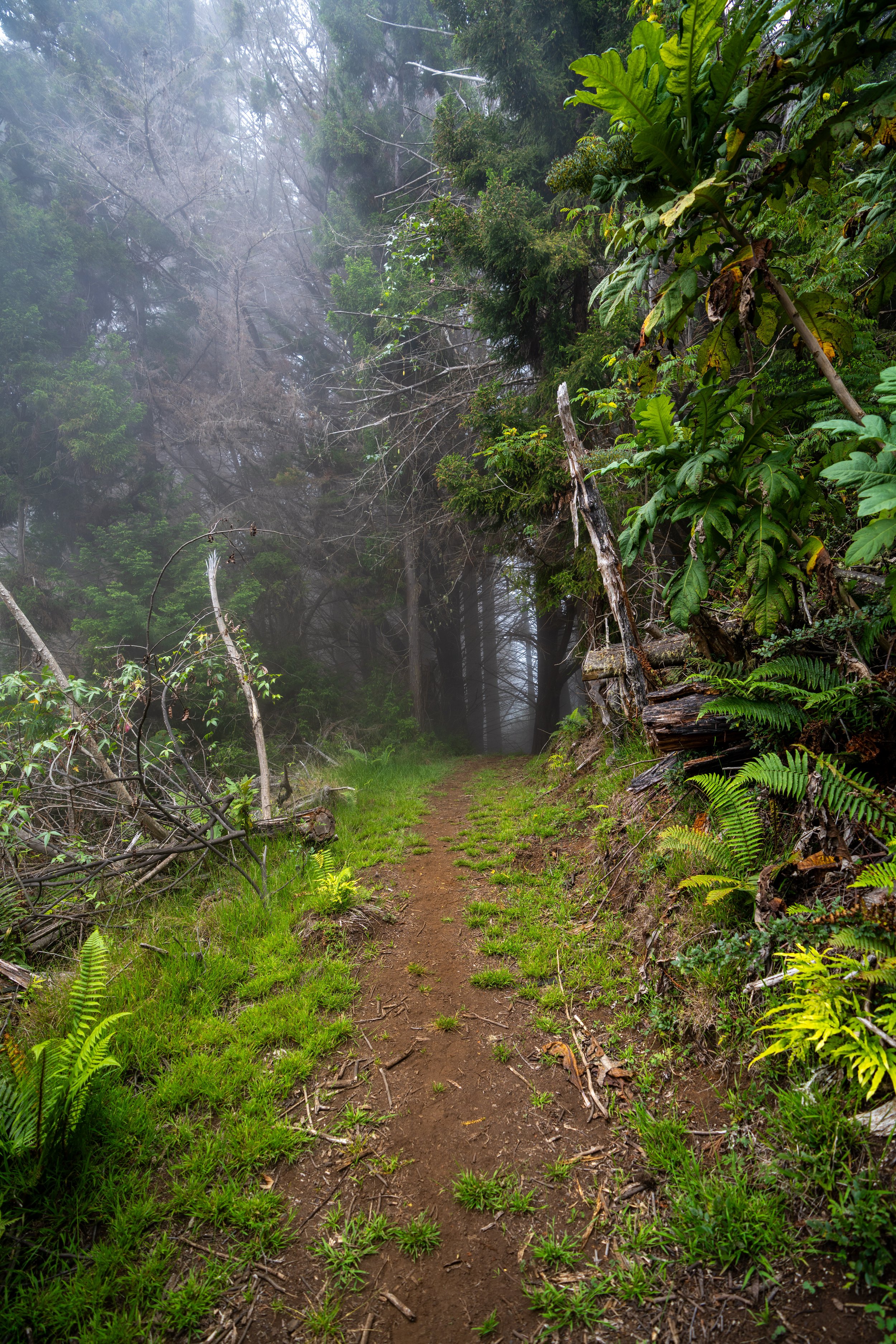
Hiking the Kahakapao Loop Trail
The Kahakapao Loop Trail begins on a wide, multi-use path that is open to hikers, bikers, trail runners, and horses.
This hopefully should hopefully help explain the reason for all the trails that weave around the Kahakapao Loop, meaning not every trail is open to foot traffic and vice versa.
That said, Kahakapao Loop Trail follows this wide, multi-use path for about 0.5 miles (0.8 km) before reaching the start of the loop.
Lower Kahakapao Loop-Pineapple Express Junction
After making its way out of the first ravine, the Kahakapao Loop Trail reaches the lower Pineapple Express junction, which is arguably the most popular other trail in the Makawao Forest Reserve besides the Kahakapao Loop.
However, the Pineapple Express Trail is only open to mountain bikers, which is why the signs strictly prohibit hikers from going left here.
With that being said, go straight to continue on the Kahakapao Trail toward the start of the loop.
Kahakapao Loop-Secret-Tweener Junction (Akamai Track)
Shortly after the Pineapple Express Trail, the Kahakapao Loop Trail reaches the Akamai Track and several other side trails, which are easier to understand when looking at a detailed map of the Makawao Forest Reserve.
To continue toward the start of the loop, go straight at this junction to follow the main multi-use trail for roughly another 0.3 miles (0.5 km).
Upper Kahakapao Loop-Tweener Junction
Just a few steps before the start of the loop, the trail passes by the upper Tweener Trail junction, which began just down the hill at the Akamai Track.
That said, the Tweener Trail is another bike-only trail, meaning that hikers should not take it as an alternative on the way back down.
In any case, go straight to reach the start of the Kahakapao Loop Trail.
Kahakapao Loop Trail
This is the start of the Kahakapao Loop Trail, located roughly 0.5 miles (0.8 km) from the trailhead.
From here, there is either the option to go right to begin the west side of the Kahakapao Loop first, or left to begin the east side of the loop.
Officially, the trail moves in the clockwise direction, which is reflected in the distance markers found throughout the loop, but I personally recommend going right on the West Kahakapao Loop first if you’re planning to hike the full trail.
I say this because I think of the East Kahakapao Loop as the much more beautiful half, which is why I like to save the best for last!
West Kahakapao Loop Trail
Regarding my thoughts above, I chose to go right to begin the West Kahakapao Loop Trail in a counterclockwise direction.
Since I decided to go right on the West Kahakapao Loop first, the mile markers start high and count down, meaning there are roughly 5.5 miles (8.9 km) from this point to the start of the loop shown above.
The Kahakapao Loop Trail follows these red trail markers, which is important to keep in mind, given all the interconnecting routes that cross the loop from all sides.
West Kahakapao Loop-Ravine Junction
Shortly after the picnic table, the Kahakapao Loop passes the exit for the Ravine Trail, a short, downhill, mountain-bike-only trail that connects Paʻahao Road up the hill to this point.
That said, go left to stay on the more obvious Kahakapao Loop Trail.
In regards to the thoughts I wrote at the beginning of the loop, I want to clarify that didn’t mean that I don’t like the west side of the Kahakapao Loop or think it isn’t beautiful.
I just think the Kupukupu Fern section on the east side, followed by the Cook Pines immediately after, is the most beautiful part of the entire loop, which is why I like to save it for the end.
Lower Kahakapao Loop-Paʻahao Road Junction
Paʻahao Road is one of the more notable side trails on the Kahakapao Loop Trail because it is one of the few that is open to both hikers and trail runners.
It’s also worth mentioning that the Kahakapao Loop Trail crosses Paʻahao Road five separate times on the way up to the top of the loop, which is why it can make for a great return trail if you are not interested in hiking all 5.6 miles (9.0 km) around the loop.
In any case, go right at this split to stay on the Kahakapao Loop Trail.
This endemic Pilo species is fairly common along the lower elevation slopes of Haleakalā.
This is the first of five times that the West Kahakapao Loop Trail crosses Paʻahao Road on the way up to the top of the loop.
That said, go straight across Paʻahao Road and look for the same red trail markers on the trees indicating the correct route.
This mile marker indicates that it has been 1.1 miles (1.8 km) since the beginning of the Kahakapao Loop.
Lower Kahakapao Loop-Renegade Junction
The Renegade Trail is similar to Paʻahao Road in that both climb the slope more directly to the top of the loop, with the exception that the Renegade Trail has a few more switchbacks near the top.
However, what makes the Renegade Trail more notable is that it serves as the transition between the East and West Kahakapao Loop near the uppermost elevations of the trail, making it a nice mental halfway checkpoint once at the top.
However, like a number of other side trails, the Renegade Trail is only open to mountain bikers. Therefore, go straight (right) to stay on the Kahakapao Loop Trail toward the top.
This is truly as steep as the Kahakapao Loop Trail gets, which, again, is why I think of it as one of the best trail-running hikes on Maui!
The trail that can be seen through the trees is Paʻahao Road.
When the Kahakapao Loop crosses Paʻahao Road for the second time, go left to stay on the correct route.
The next time the Kahakapao Loop meets Paʻahao Road, it and the road become one path for a short distance before it splits away to the right.
This is where the Kahakapao Loop Trail leaves Paʻahao Road once again.
That said, go right to stay on the correct route.
This is the second-to-last time the Kahakapao Loop Trail crosses Paʻahao Road.
This is the fifth and final time the Kahakapao Loop Trail crosses Paʻahao Road.
Once again, go straight, and the uppermost junction will be reached in about 0.4 miles (0.6 km).
Upper Kahakapao Loop-Paʻahao Road Junction
This is the top of Paʻahao Road, but it is not the end of the West Kahakapao Loop.
Rather, the end of the west loop and the beginning of the east are located at the next junction, where the Renegade Trail reaches the top of the loop, about 0.2 miles (0.3 km) ahead.
After the upper Paʻahao Road junction, the Kahakapao Loop Trail becomes much flatter as it approaches the top of the loop.
Upper Kahakapao Loop-Renegade Junction (East-West Junction)
This is the top of the Renegade Trail and the end of the West Kahakapao Loop Trail.
That said, I personally think the East Kahakapao Loop Trail feels much faster because I think it is the much more beautiful half of the hike, even though both sides are almost exactly the same distance at about 2.8 miles (4.5 km) each.
Immediately after the upper Renegade Trail junction, the loop descends into a small ravine where hikers can learn about both native and non-native plants on Maui.
I mention this because the Ginger seen in the next few photos is one of Hawaiʻi’s most noxious weeds, threatening not only the landscape here but many places across the islands, including Hawaiʻi Volcanoes National Park and Puʻu Kōnāhuanui on Oʻahu, which is one of the most heavily impacted summits in the Koʻolau Mountain Range.
This is the highly invasive Kahili Ginger on the right-hand side of the Kahakapao Loop Trail.
Kahakapao Loop-Pineapple Express-Fong Ridge Junction
After the ravine, the Kahakapao Loop Trail reaches the top of the Pineapple Express Trail from the very beginning of the hike, and Fong Ridge Road, which is the first time Fong Ridge is encountered when hiking the loop counterclockwise, as it first branches away near the beginning of the East Kahakapao Loop Trail at the bottom.
At this four-way intersection, go left to continue down the Kahakapao Loop Trail.
After the Pineapple Express–Fong Ridge junction above, the East Kahakapao Loop Trail becomes much more straightforward.
In fact, it is considerably more straightforward than the west side because there are no more splits in the trail until the very bottom!
On the east side of the Kahakapao Loop, hikers can find more native Hawaiian plants, like this Palapalai Fern growing in the understory of the Tropical Ash trees, with the beautiful Kupukupu Fern section a short distance ahead!
This is where the Kupukupu Ferns start to become more and more abundant!
Once again, these mile markers are counting down to the start of the Kahakapao Loop, not to the trailhead adjacent to the parking area.
For those interested in trail running the Kahakapao Loop Trail, consider these shoes that I trust on Hawaiʻi trails, as they work well as an in-between option for both muddy trails and road running, which is a very common combination across the islands.
This is the Kupukupu Fern section on the East Kahakapao Loop Trail, which, in my opinion, is the most beautiful part of the entire hike—especially when the sunlight breaks through the forest like it is here!
That said, Hawaiʻi has both native and non-native Kupukupu Ferns across the islands, but this is one of the two species that are native to Hawaiʻi.
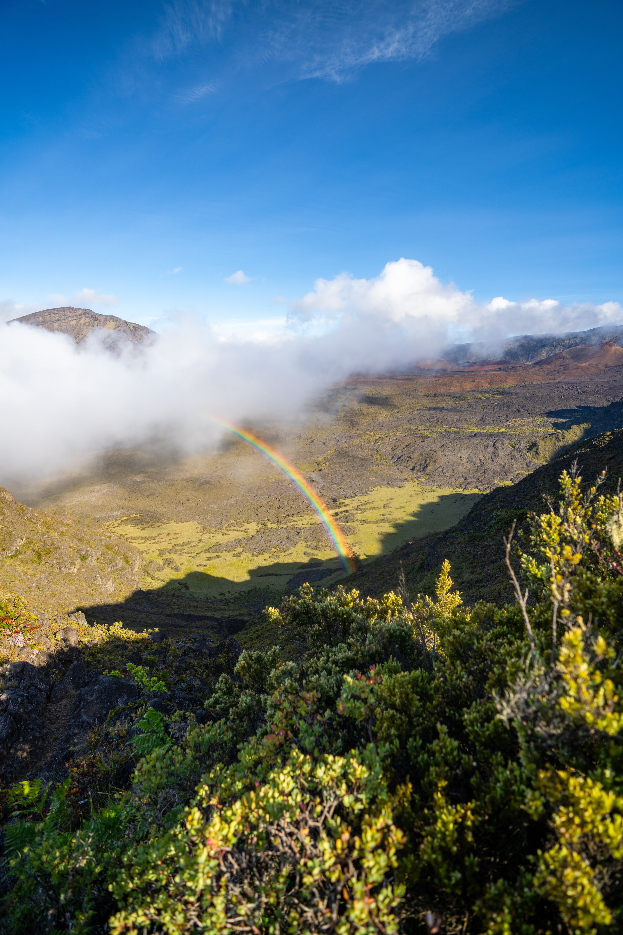
Sections like this are great for taking photos when there is a break in the clouds!
As the Kupukupu Ferns begin to fade, the next most beautiful section on the Kahakapao Loop is the Cook Pine forest just a short distance ahead.
This is where the Kahakapao Loop Trail enters the Cook Pine forest, which makes for another nice mental checkpoint indicating that the loop is reaching the lower elevations near the beginning of Fong Ridge Road.
While Cook Pines are not native to Hawaiʻi, they have become a beloved staple across the islands because of how tall and beautiful they grow here, especially in places like Dole Park on Lānaʻi.
This is the first of two times that the Kahakapao Loop Trail connects with the Pineapple Express Trail just before the bottom.
That said, go left to stay on the East Kahakapao Loop Trail, as the Pineapple Express Trail is only open to downhill bikers.
After the Cook Pine forest, there is only about 0.5 miles (0.8 km) left to reach the beginning of the loop.
This is the second time on the descent where the Kahakapao Loop Trail comes close to the Pineapple Express Trail, and just like the first, the loop once again continues to the left.
Kahakapao Loop-Fong Ridge Junction
Just before the East Kahakapao Loop returns to the beginning, the trail meets the same wide multi-use road from the start of the hike.
From here, go left to reach the beginning of the Kahakapao Loop Trail just a short distance down the hill.
Kahakapao Loop Junction
Finally, after 5.6 miles (9.0 km)—or 6.1 miles (9.8 km) from the trailhead—the Kahakapao Loop Trail returns to the beginning.
That said, go right at this junction to continue down the multi-use road back to the Kahakapao Trailhead.
Kahakapao Loop-Tweener Junction
Immediately after turning right, the Kahakapao Loop Trail meets the upper Tweener Trail junction.
I mention this because I want to remind once again that the Tweener Trail is designed to be a downhill mountain bike trail only, meaning it is not open to hikers or trail runners.
Therefore, go straight (left) at this split to return to the Kahakapao Loop Trailhead.
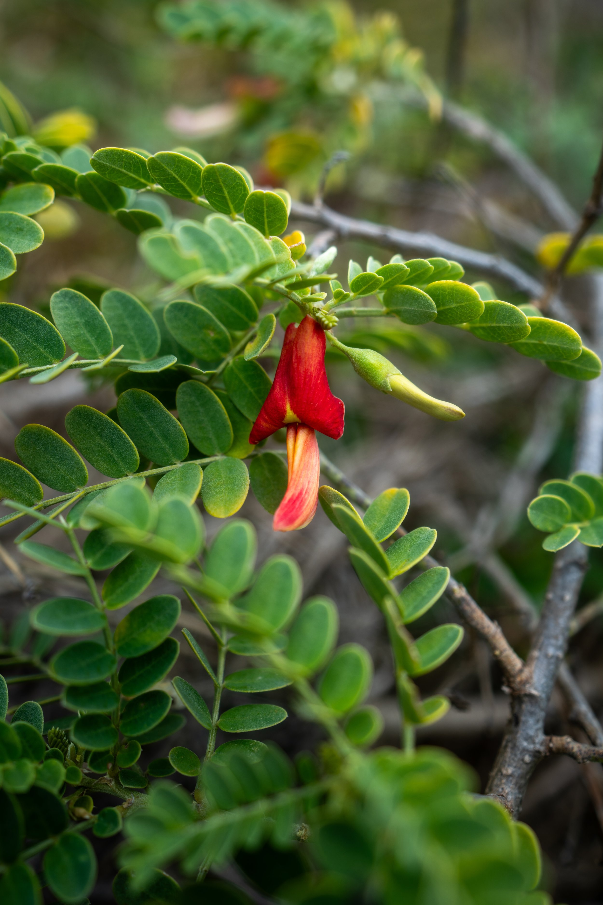
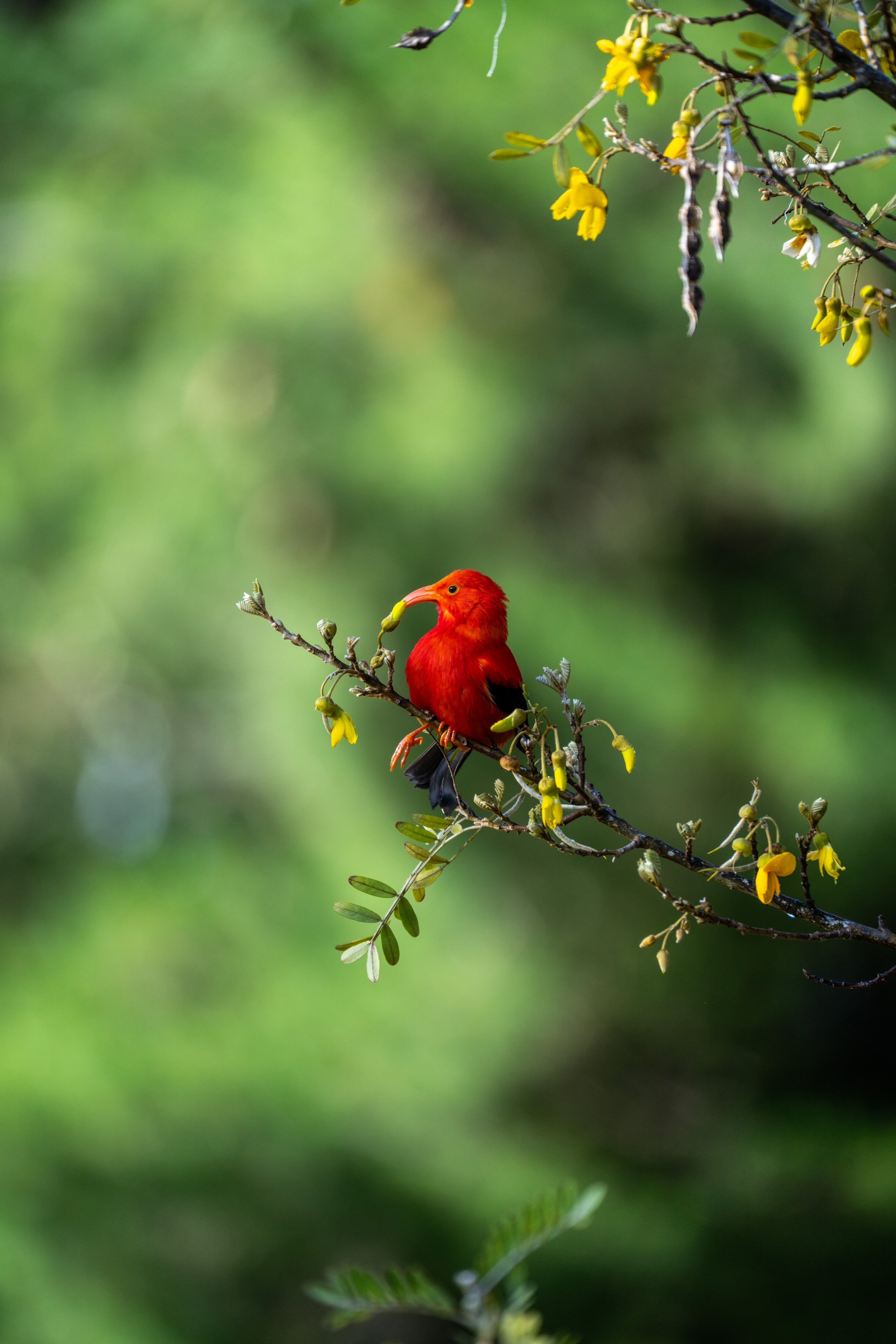
Native Plants on the Kahakapao Loop Trail
On account of the area’s deforestation history, followed by the reforestation of non-native species, the Makawao Forest Reserve consists of mostly non-native, invasive species such as Eucalyptus, Cook Pine, and many Tropical Ash trees.
However, there are a handful of native plants that hikers can find along the way, including Koa, Olopua, Pilo, Hāpuʻu, Palapalai, Paʻiniu, Kupukupu, and Māmaki, to name a few.
If you are curious about trying the native Hawaiian Māmaki tea, I kindly ask that you don’t harvest Māmaki from our native forests but, instead, buy from one of the local reputable vendors, such as those listed below.
If you would like to learn more about these and many other native Hawaiian plants from across the islands, I encourage you to check out my separate post linked below.
Read My Separate Post: Native Hawaiian Plant Guide