Hiking the Hanamanioa Point Light Trail on Maui, Hawaiʻi
Distance: 3.4 miles / 5.5 km
The Hanamanioa Point Light Trail on Maui is a coastal day hike south of Kīhei that follows the path of the historic Hoapili Trail (King’s Highway) before it branches away toward the southern coastline of La Perouse Bay (Keoneʻōʻio Bay) and the Hanamanioa Point navigation aid.
This is what makes the Hanamanioa Point Light Trail shorter and easier than the full Hoapili Trail, as it does not travel nearly as far south as the King’s Highway to Kanaio Beach.
However, regardless of whether you plan to hike the shorter Hanamanioa Point Light Trail or the full Hoapili Trail, it is imperative to arrive prepared with 2–3 liters of water per person, as well as a hooded sun shirt.
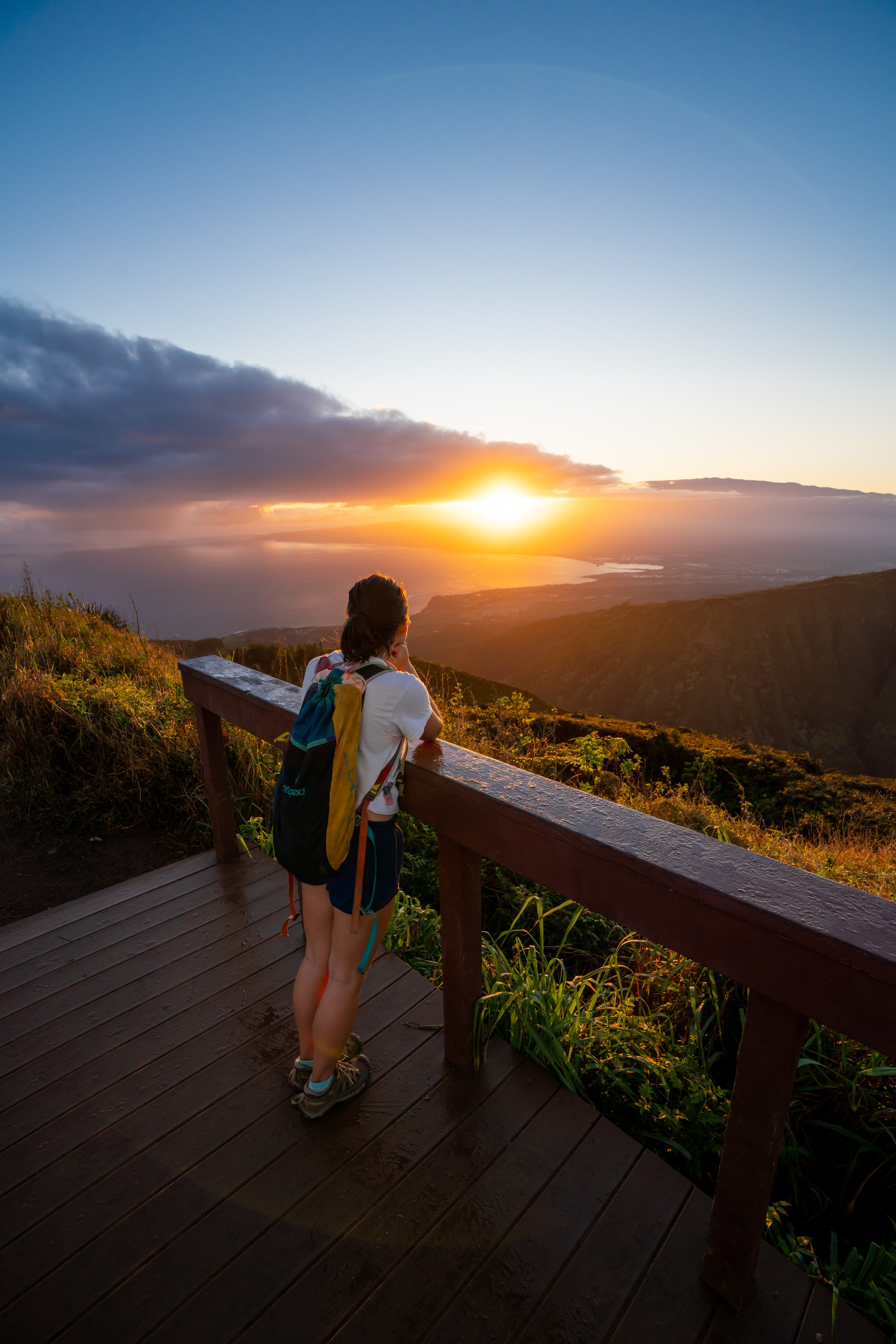
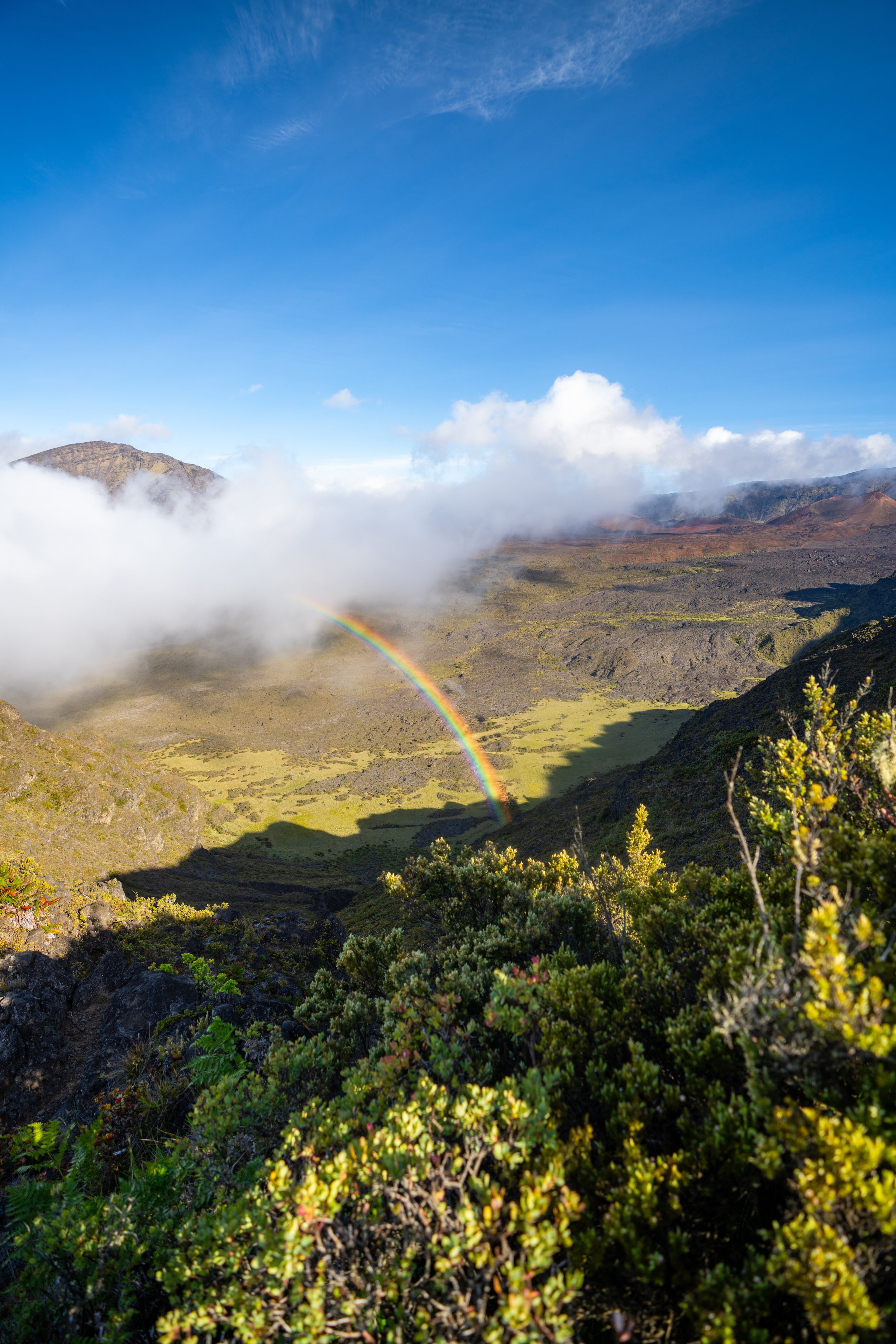
I say this because this low-elevation coastline is often very hot and sunny on most beautiful days in Hawaiʻi, and since it’s located on the leeward side of Haleakalā, it’s not uncommon for the air to be very still. Needless to say, I was fairly lucky to head out here on a somewhat cloudy day, something that is a bit rarer on this side of Maui!
Hanamanioa Point Light Trailhead Parking
The Hanamanioa Point Light Trailhead is located in an unpaved parking area at the very end of Mākena Road, just after the ʻĀhihi-Kīnaʻu Natural Area Reserve.
For those familiar, the reserve is similar to Kaʻena Point on Oʻahu or the Moʻomomi Sand Dunes on Molokai, but what’s different is that the road is paved until the very end, where it meets the parking area at Keoneʻōʻio Bay.
Google Maps Directions: Hanamanioa Point Light Trailhead (Hoapili)
My Hawaiʻi Hiking Checklist
Hiking the Hanamanioa Point Light Trail
The Hanamanioa Point Light Trail and the Hoapili Trail (King’s Highway) begin at the same trailhead on the south side of the parking area, where the two trails follow the same path along the Hoapili Trail for roughly 0.8 miles (1.3 km) before they go their separate ways.
After just 0.1 miles (0.2 km), the Hanamanioa Point Trail splits.
Here, go left to stay on the correct route toward the junction for both Hanamanioa Point and Kanaio Beach.
At the next split, shortly after the previous, go right to stay on the Hanamanioa Trail, as the trail to the left simply leads around a number of archeological sites just off the main trail.
The one thing I hope these photos make obvious is just how exposed the Hoapili Trail is.
By this, I mean that apart from the short section through the Kīawe trees just ahead, shade is hard to come by on either the hike to either Hanamanioa Point or Kanaio Beach, which is why I highly recommend hiking with plenty of water and a hooded sun shirt.
King’s Highway (Ke Ala Loa o Maui / Alaloa o Piʻilani)
This is where the modern-day Hoapili Trail and the historic King’s Highway (Ke Ala Loa o Maui) meet for the first time.
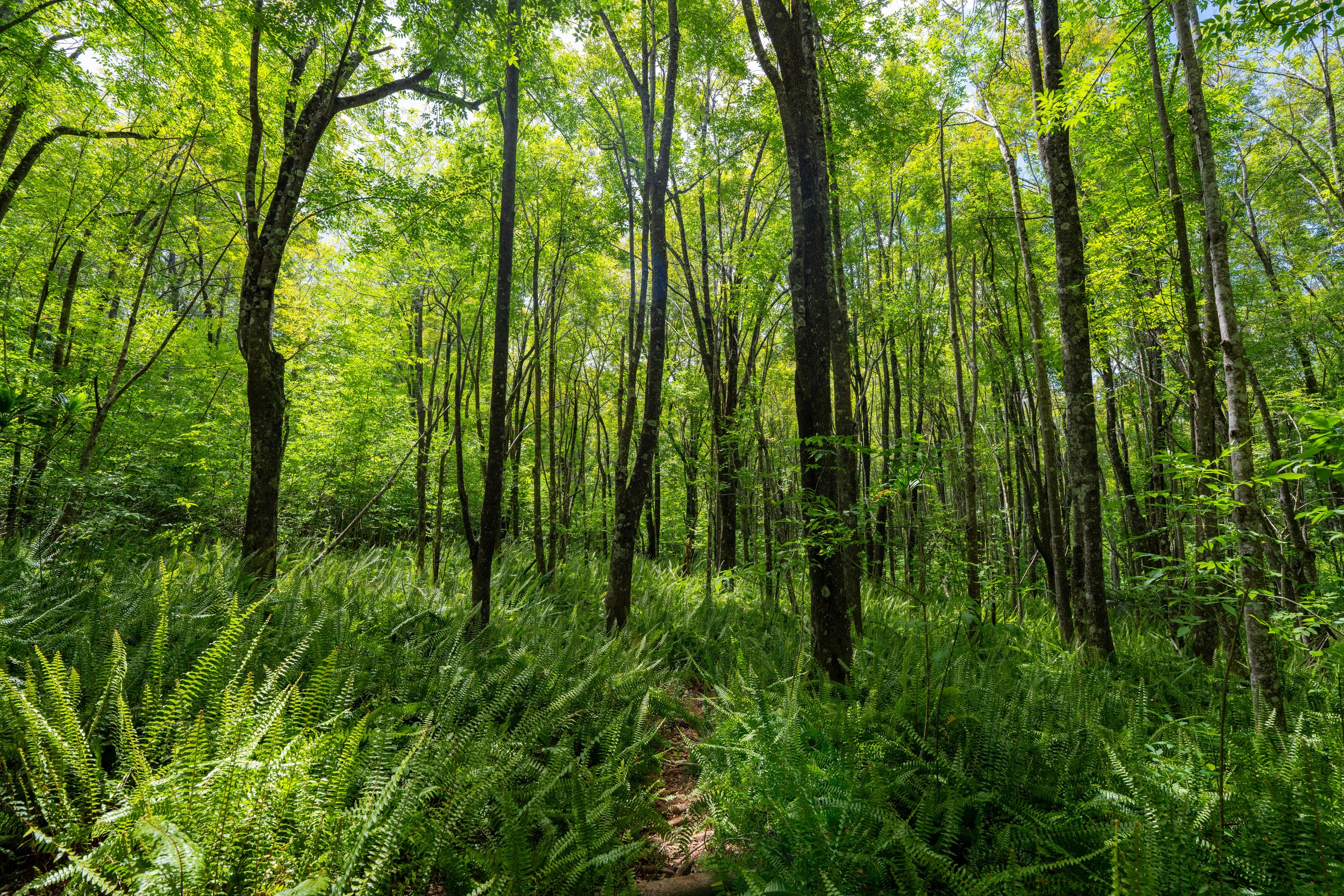
When the Hoapili Trail reaches this first beach, the hike begins to parallel the water as it winds its way in and out of the Kīawe trees for the next 0.5 miles (0.8 km).
This is where hikers are likely to first encounter wild goats on the way out to Hanamanioa Point.
If you look closely, there are goats in these next two photos below.
Other than a sun shirt, it’s very important to hike to both Hanamanioa Point and Kanaio Beach with good shoes.
If you don’t know, Kīawe is a nasty invasive tree with thorns that can and will pierce through the soles of thin shoes.
Now, most shoes aren’t perfect, but at the very least, I recommend a good pair of light trail runners, which can certainly be useful for most day hikes on Maui.
This is the last beach before the Hoapili Trail reaches the junction for both Hanamanioa Point and Kanaio Beach.
This is the view looking west toward Kahoʻolawe.
Hanamanioa Point Light-Hoapili (King’s Highway) Junction
After 0.8 miles (1.3 km), the Hoapili Trail reaches the start of the true Hanamanioa Point Light Trail.
It is here that the Hoapili Trail (King’s Highway) branches off to the left, but to continue toward Hanamanioa Point, go straight to begin the Hanamanioa Point Light Trail.
Read My Separate Post: Hoapili Trail (King’s Highway)
Waiakapuhi Lava Field
At the beginning of the Waiakapuhi Lava Field, the Hanamanioa Point Light Trail and the Hoapili Trail parallel one another until they reach a short connector between the two, about 0.2 miles (0.3 km) away.
Hanamanioa Point Light-Hoapili Connector Junction
This is where the Hanamanioa Point Light Trail reaches the short connector between this point and the Hoapili Trail to the east.
That said, this connector is very useful if you plan to hike to both Hanamanioa Point and Kanaio Beach, because it takes away the need to retrace the last 0.2 miles (0.3 km) to get to the initial junction shown above.
In any case, go straight (right) to continue hiking out toward Hanamanioa Point.
Read My Separate Post: Hoapili Trail (King’s Highway)
After the connector junction, the Hanamanioa Point Trail heads south through a barren ʻAʻā lava flow to reach the Hanamanioa Point Light, about 0.7 miles (1.1 km) from the split shown above.
Don’t forget to turn back and enjoy the views up toward Polipoli and Haleakalā.
This exposed ʻAʻā flow can be one of the hottest sections of the entire hike—especially when there is no wind!
This is why I was truly blessed to have some clouds in the sky, but even still, I want to say once again that I could not recommend hiking in a hooded sun shirt more!
This is where the Hanamanioa Point Light starts to become visible for the first time in the distance!
At this split just before the light, go left to hike around to the navigation aid, as the trail to the right simply leads to an overlook above it.
Hanamanioa Point Light
The Hanamanioa Point Light is a U.S. Coast Guard navigation aid located along one of the southernmost points of Maui.
Past the navigation aid, the Hanamanioa Point Trail continues out to the nearest rocky point that can be seen in the distance, but I honestly don’t think hiking down is worth the effort—especially if you’re already planning to hike the Hoapili Trail (King’s Highway) to Kanaio Beach.
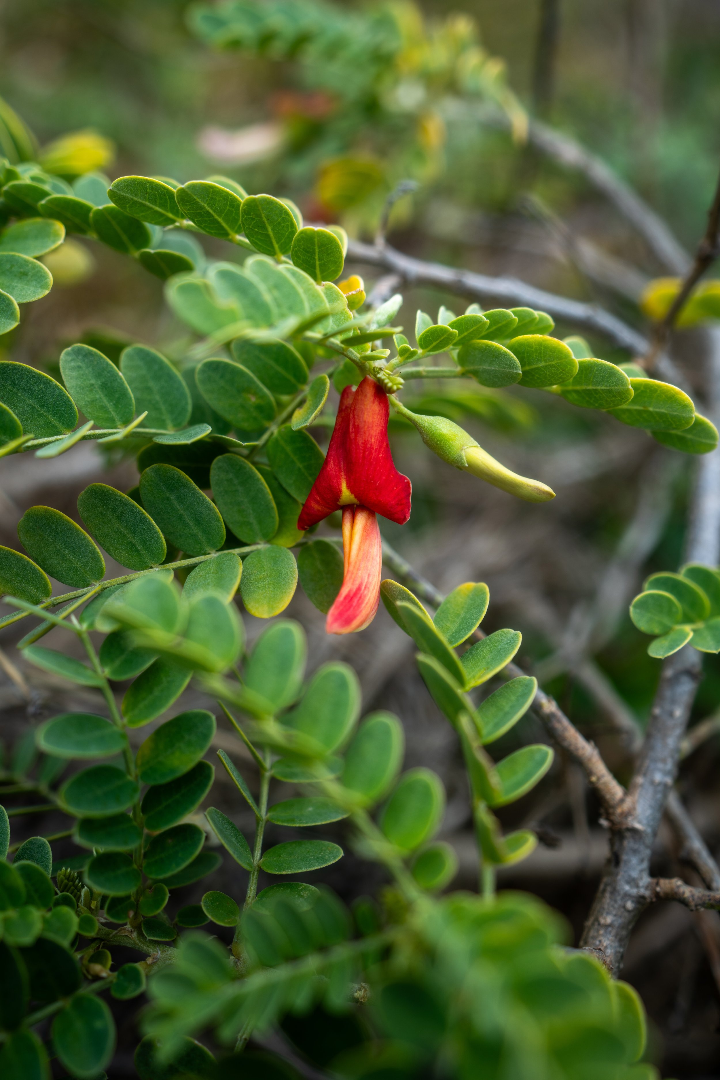
Native Plants on the Hanamanioa Point Light Trail
The Kanaio Coast in South Maui is a very rugged, rocky, and barren landscape covered in non-native Kīawe trees among invasive grasses.
However, the Kanaio Coast has a number of native plants that hikers can find throughout, including ʻUhaloa, Niu, Maiapilo, Naupaka, Pōhuehue, Nohu, ʻAʻaliʻi, Wiliwili, and ʻIlima, to name just a few.
If you would like to learn more about these and many other native Hawaiian plants from across the islands, I encourage you to check out my separate post linked below.
Read My Separate Post: Native Hawaiian Plant Guide