Hiking the Pīpīwai Trail to Waimoku Falls in Haleakalā National Park on Maui, Hawaiʻi
Distance (Roundtrip): 3.8 miles / 6.1 km
The Pīpīwai Trail to Waimoku Falls in Haleakalā National Park on Maui is a favorite among both locals and visitors, as the relatively easy trail leads to the tallest single-drop waterfall on the island—towering roughly 400 ft. (122 m)!
For this reason, Waimoku Falls, along with the Kūloa Point Trail, is one of the two most popular final stops along the Hāna Highway before turning back around to make the long, windy drive back to the central valley.
All this to say, having the opportunity to spend time and enjoy the Kīpahulu District in Haleakalā is most practical by spending one or more nights in East Maui, instead of driving both ways on the Road to Hāna in one day. This way, you allow yourself the opportunity to maximize all the things to see and do on the scenic drive, as there is just too much to fit into one day on the highway.
Pīpīwai Trailhead Parking
Parking for the Pīpīwai Trail is located in the same parking lot as the Kīpahulu Visitor Center in Haleakalā National Park, about 10.3 miles (16.6 km) past Hāna.
That being said, the Kīpahulu District collects park entrance fees, meaning that it’s best to come prepared to pay to enter the National Park or bring an access pass before arriving.
Google Maps Directions: Kīpahulu Visitor Center
Hiking the Pīpīwai Trail
Despite the Pīpīwai Trail being a waterfall hike, some visitors may not be aware that the trail to Waimoku Falls is more of an uphill adventure than it may seem.
By this, I mean the Pīpīwai Trail gains about 700 ft. (213 m) of elevation over the course of 1.9 miles (3.1 km), making the hike a good workout as well.
Pīpīwai-Kūloa Point Junction
After just 0.1 miles (0.2 km), the Pīpīwai Trail splits with the Kūloa Point Trail, which leads to ʻOheʻo Gulch and numerous historical cultural sites located within the Kīpahulu District.
That being said, go left to continue on the Pīpīwai Trail, but if you would like to learn more about the full Kūloa Point Trail, I encourage you to read more in my separate post.
Read My Separate Post: Kūloa Point Trail (ʻOheʻo Gulch)
Then, turn right at the next split to continue across the Hāna Hwy.
The trail to the left leads back to the parking lot, or it’s where you would have come from if you didn’t start from the visitor center.
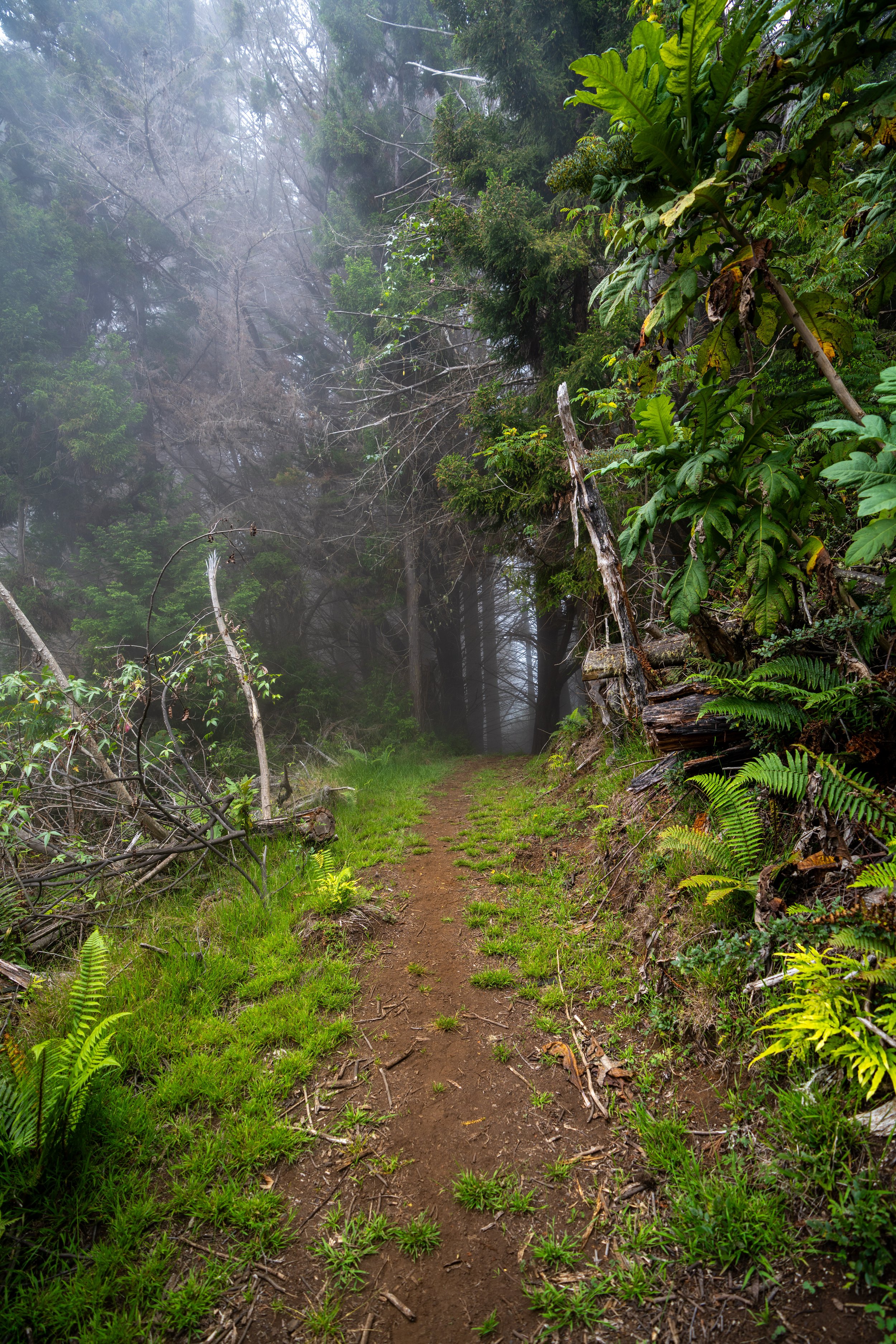
After crossing the Hāna Hwy, there are no more major turns to look out for on the rest of the Pīpīwai Trail.
Pīpīwai Banyan Tree
This Banyan tree in the photo below is the same beautiful tree that you may have seen in some viral social media photos from Maui.
Once the Pīpīwai Trail turns into boardwalks through the bamboo forest, you essentially have the harder uphill sections behind you.
Pīpīwai Stream
The Pīpīwai Stream crossing is typically the most challenging part of the hike for most people, and it’s important to know that the water level can vary drastically from being dry (like in the photo here) to a raging river, in which the Park Service is likely to close the trail.
By hiking past this point, you accept all the risks and potential legal consequences for entering a closed area.
I have personally witnessed rocks fall and strike people at Hawaiʻi waterfalls.
Waimoku Falls (Maui’s Tallest Single-Drop Waterfall)
Waimoku Falls is the tallest single-drop waterfall on Maui measuring at roughly 400 ft. (122 m)!
Furthermore, I think it’s important to know that Waimoku Falls is rain-fed, meaning you may see it with any amount of water, like the two different times I’ve visited in the photos below.
Native Plants on the Pīpīwai Trail
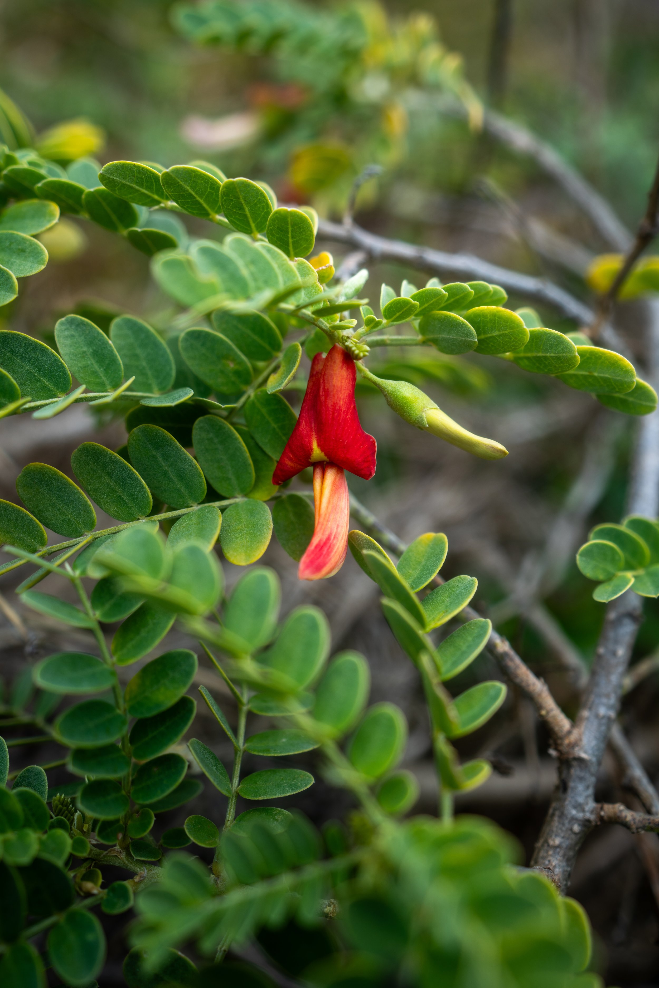
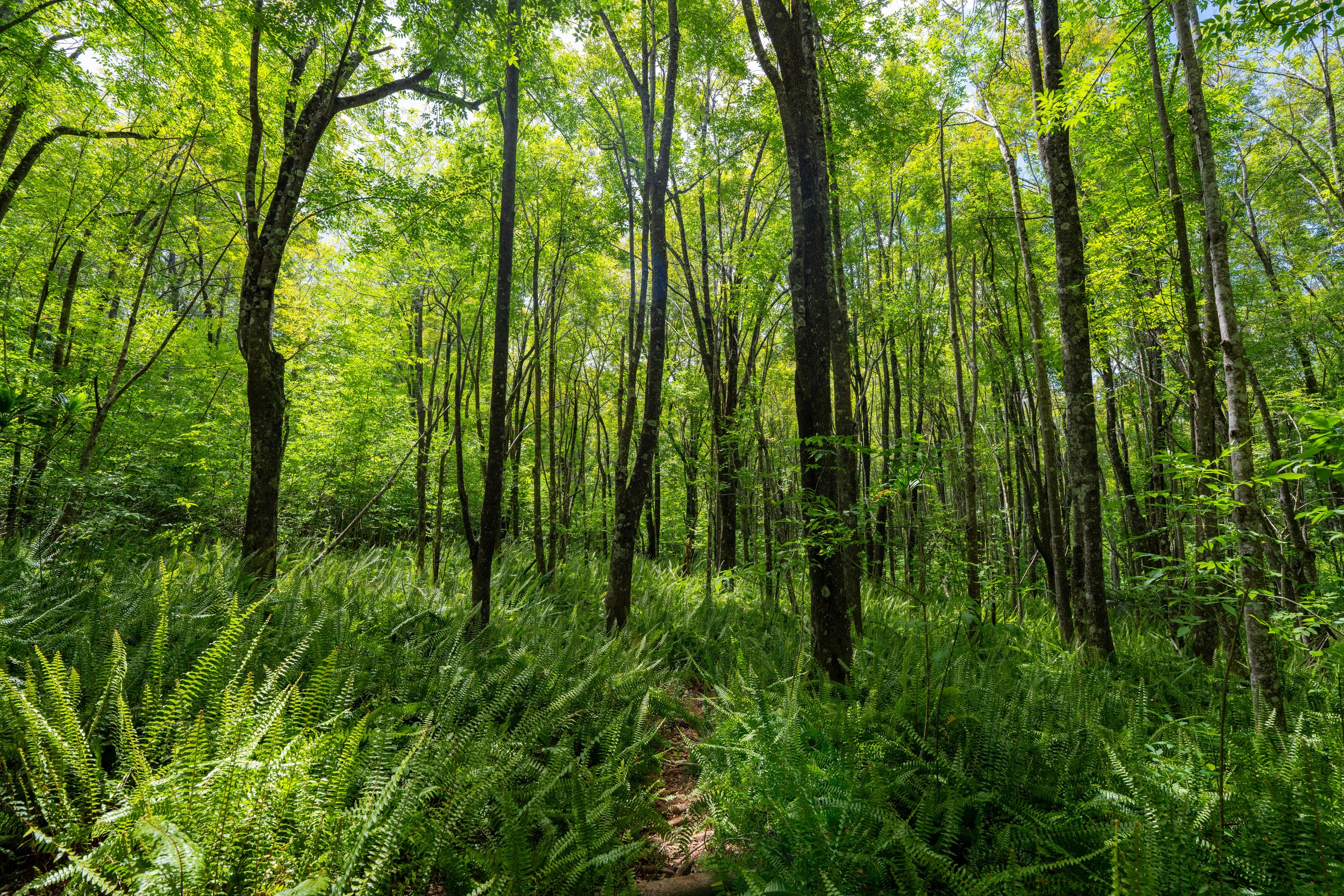
From the Kīpahulu Trailhead to Waimoku Falls, there are a variety of native Hawaiian plants to look out for, including Wiliwili, ʻĒkaha, Hala, and Koa, to truly only name a few.
All said, if you’d like to know more about these and other tons of native Hawaiian plants from across the islands, I encourage you to check out my separate post linked below.
Read My Separate Post: Native Hawaiian Plant Guide


