
Distance: 1.3 miles / 2.1 km
The Sullivan Bay Trail in Voyageurs National Park is a short and easy out-and-back day hike off Mead Wood Road near the Ash River Visitor Center that leads to a beautiful rocky outcrop overlooking a small, isolated bay on Kabetogama Lake, known as Sullivan Bay!
It is for all these reasons that the Sullivan Bay Trail is one of the more popular adventures in Voyageurs, something that is true about most drive-up trailheads on all sides of the park!
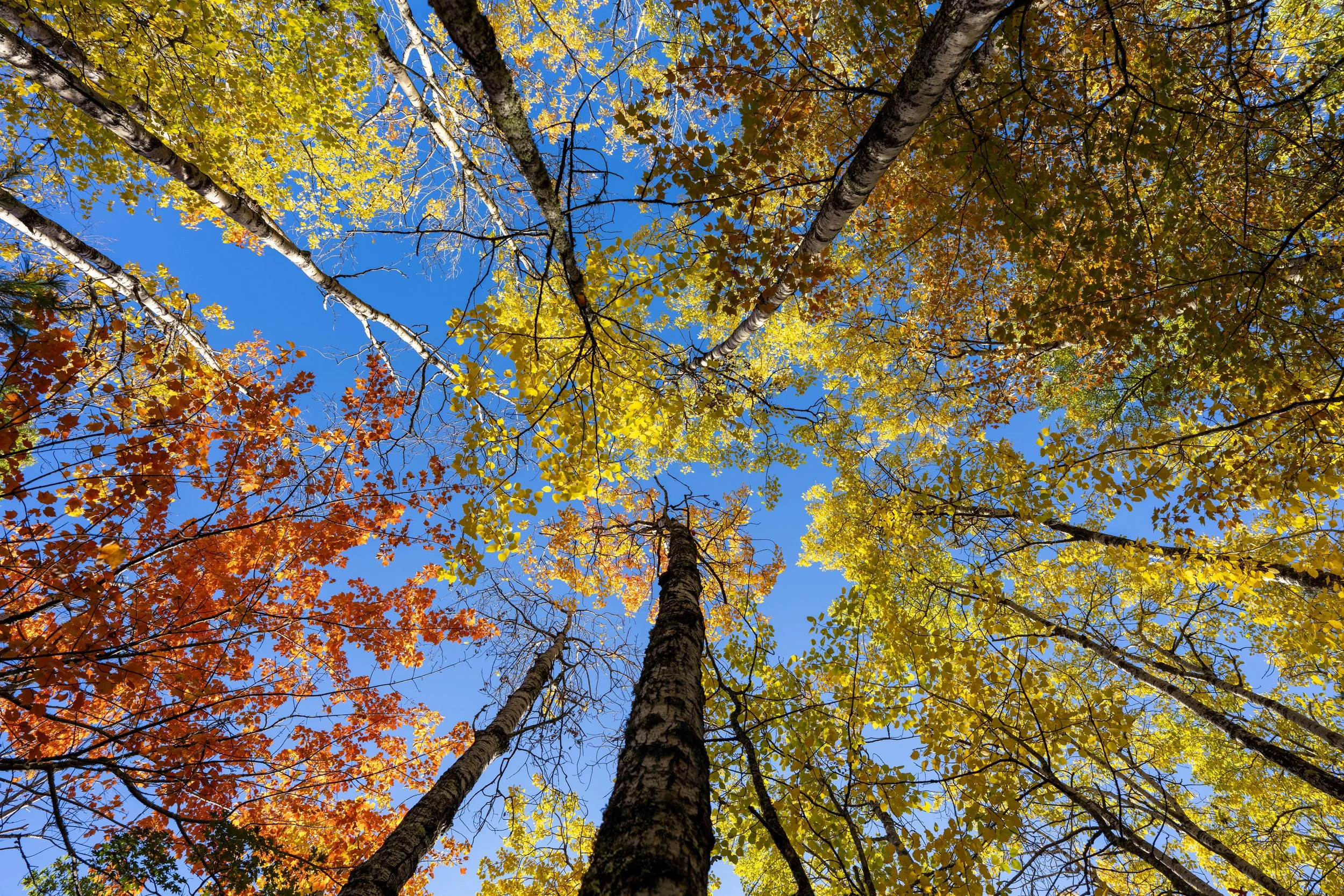
However, what I think makes the Sullivan Bay Trail so special is that it is one of the best drive-up trailheads to see the fall colors in Voyageurs National Park, but I want to stress the words "drive-up," as I believe both the Locator Lake Trail and the Mukooda Trail are the two best hikes to see the beautiful colors of any trail in the park!
Sullivan Bay Trailhead Parking
Parking for the Sullivan Bay Trail is located in a large pullout directly off Mead Wood Road on the right-hand side when driving north toward the Ash River Visitor Center.
It’s worth noting that all trailheads off Mead Wood Road are among the most popular in Voyageurs National Park because they are among the few that are accessible by car.
However, the word "popular" does not mean the same thing in Voyageurs as it does in busier parks out west, such as parking for the beautiful Canyon Overlook Trail in Zion National Park or the Avalanche Lake Trail in Glacier National Park.
Google Maps Directions: Sullivan Bay Trailhead
Hiking Checklist - Voyageurs
Here is a complete list of must-have things that you will want for any hike in Voyageurs National Park.
Hiking the Sullivan Bay Trail
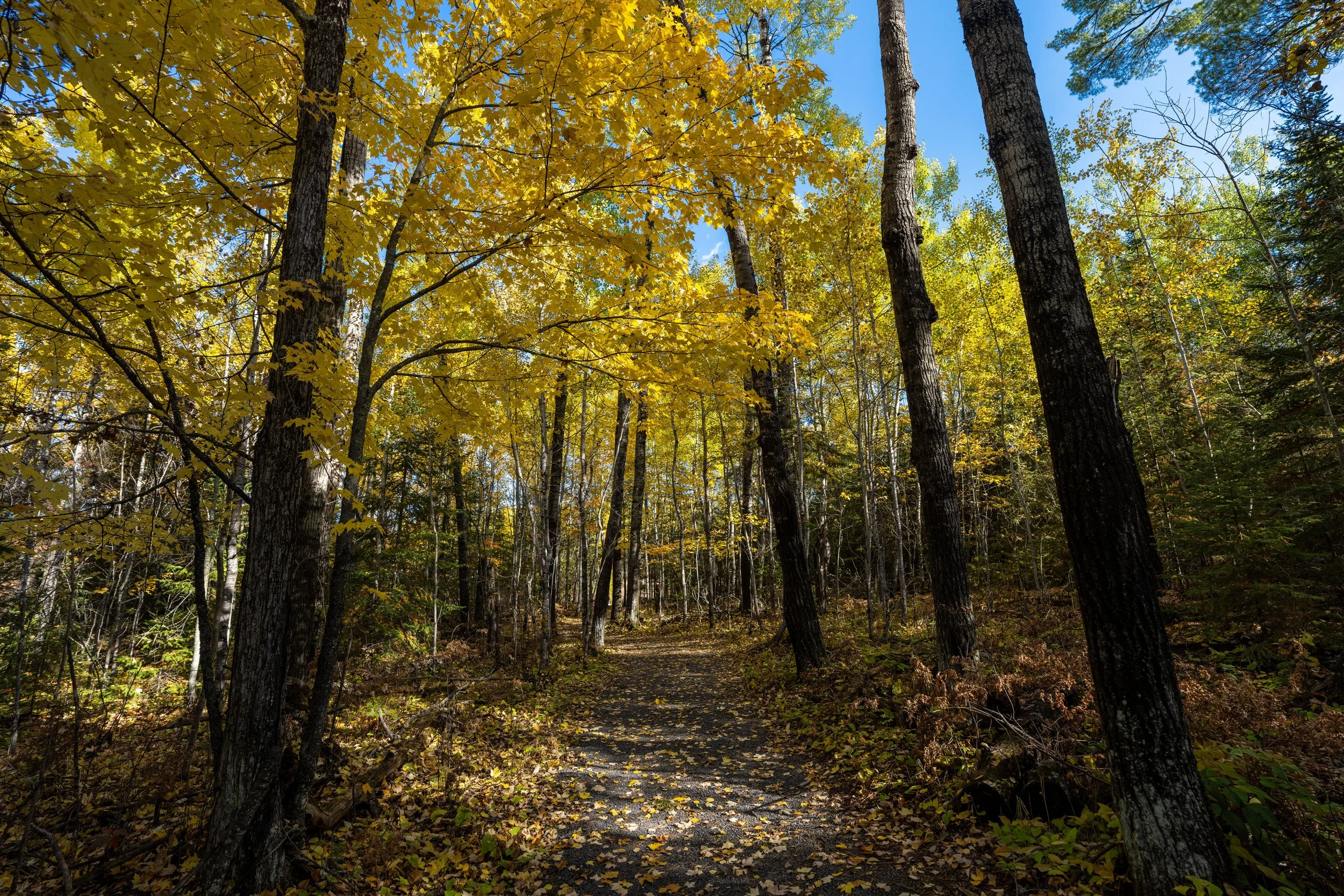
The Sullivan Bay Trail begins at the far eastern end of the parking area and follows a mostly flat path for just over 0.6 miles (1.0 km) until it reaches the panoramic overlook at the very end.
One of the reasons the Sullivan Bay Trail is so easy to navigate is because it follows the path of an old forest road, which is why I believe it one of the better trail-running hikes in Voyageurs, especially considering the elevation change is so minimal!
If trail running is something you’re considering, I recommend using the shoes I have linked below, as they work well for both hiking and trail running on all the best adventures across Voyageurs National Park.
One of the most important things to know about the Sullivan Bay Trail is that it can be very buggy during the mid-summer months, which is why I recommend carrying this cheap head net linked below if you are planning to visit Voyageurs during this time of year.
Alternatively, the Sullivan Bay Trail is one of the easiest and best hikes to walk at a leisurely pace during the fall, which is why I strongly recommend visiting the Minnesota North Woods for the colors over any other season!
One of the best things about the Sullivan Bay Trail, Mead Wood Road, and the Ash River Trail Road on the south side of the park is all the beautiful Aspen trees that turn from green to gold during peak colors, as in the photo below!
Who is the Sullivan Bay Trail Named After?
The Sullivan Bay Trail is obviously named after the isolated bay at the end of the trail, but the origin of the name "Sullivan" is a bit of a mystery, as it is poorly documented and there are several possible explanations that may contain the answer.
The first is that the bay was named after a man named Frank Sullivan, a steamboat pilot and businessman active in the Rainy Lake region around 1900. Frank was a well-known figure in the area, including what is now Voyageurs National Park, where he operated small establishments for travelers near Moose River and Kettle Falls. However, there is no confirmed connection between Frank and Sullivan Bay itself.
The second explanation is that the bay may have been named after the Sullivan Lumber Company, which operated in northern Minnesota during the early 1900s. The Sullivan Bay Trail today follows an old forest road, and logging was once widespread throughout the region, making this a plausible explanation, although there is also no evidence confirming that the company operated near the bay.
All that to say, it’s ultimately unclear who Sullivan Bay was first named after, but these historical connections may contain the missing clue!
End of the Sullivan Bay Trail
After roughly 0.65 miles (1.0 km), the Sullivan Bay Trail ends at this beautiful rocky outcrop overlooking Sullivan Bay!
If you happen to take a Kabetogama Lake boat tour, your guide may take you through the Sullivan Bay Narrows, just to the north, where you can see the end of the trail from a completely opposite perspective out on the water.
If you are indecisive about whether to book a Kabetogama Lake or Rainy Lake boat tour, I highly recommend reading my side-by-side comparison of the two in my separate article about the best things to do in Voyageurs National Park, as I confidently feel my long description is the best comparison you will find regarding all there is to consider before making a decision!