
Distance (Oberholtzer Only): 1.7 miles / 2.7 km
Distance (Oberholtzer–Rainy Lake Bike Path Loop): ~1.9 miles / 3.1 km
The Oberholtzer Trail in Voyageurs National Park is a short and easy day hike near the Rainy Lake Visitor Center that winds through a beautiful mixed boreal forest, passing a handful of viewpoints along the way!
That said, the Oberholtzer Trail consists of several short loops throughout the hike, with one located at about the halfway point and the second at the far western end.
The reason why there are two distances listed above is because most who hike the Oberholtzer Trail do so by turning back after completing the far western loop, but if you’re up for a slightly longer adventure, I actually recommend continuing farther on the Tilson Bay Connector Trail to create a loop with the Rainy Lake Bike Path.
All the details can be found below, but either way, the Oberholtzer Trail is a very easy, family-friendly adventure, on top of being one of the most popular adventures in the park, since it is one of just a few trails that can actually be driven to—though "popular" is certainly a loose term in Voyageurs National Park!
Oberholtzer Trailhead Parking
Parking for the Oberholtzer Trail is located in one of two parking lots that serve the Rainy Lake Visitor Center, about 11.9 miles (19.2 km) east of International Falls.
Once at the Rainy Lake Visitor Center, there is both an upper and lower parking lot, with either being just as convenient as the other to reach the actual trailhead located between the two.
Google Maps Directions: Oberholtzer Trailhead
Hiking Checklist - Voyageurs
Here is a complete list of must-have things that you will want for any hike in Voyageurs National Park.
Hiking the Oberholtzer Trail
Walking to the Trailhead (Rainy Lake Visitor Center)
Beginning from the Rainy Lake Visitor Center and the Rainy Lake Recreation Trailhead (the bike path), walk straight past the entrance toward the boat launch, and the trailhead will be found just a short distance past the service road that leads to the visitor center.
This is where the short path crosses the service road between the Rainy Lake Visitor Center and the main entrance road that leads to the upper parking area.
Once on the south side of the service road, go right, and the Oberholtzer Trailhead will be found just around the corner.
Oberholtzer Trailhead
This is the start of the Oberholtzer Trail and the point from which both distances listed above are recorded.
On a different note, the lower parking area that serves the boat launch can be seen on the left-hand side of the photo below, which is exactly why I mentioned earlier that either lot can be a great option to reach the trailhead.
After just over 0.1 miles (0.2 km), the Oberholtzer Trail crosses the road that leads down to the boat launch.
Once on the other side of the boat launch entrance, the Oberholtzer Trail becomes much quieter as it winds its way west toward the main overlook off the first loop, the Bayview Loop shortly ahead.
The Oberholtzer Trail is not known to be the worst trail in Voyageurs National Park in terms of biting flies during the summer, but even so, I highly recommend carrying this cheap little bug net if you are visiting at this time of year, as preparing for the flies is not something you want to get complacent about.
This short stretch just before the Bayview Loop is one of the more beautiful pockets of color on the Oberholtzer Trail, though I personally think some of the best areas are found on the full loop with the Rainy Lake Bike Path!
This short set of stairs is as steep as the Oberholtzer Trail ever gets!
North Oberholtzer-Bayview Loop Junction
After about 0.4 miles (0.6 km) since leaving the trailhead, the Oberholtzer Trail reaches this split for the Bayview Loop, the first of two loops on the full trail.
That said, it is most common to go straight at this split to follow the long loop toward the Bayview Overlook, returning later on the short side on the way back.
Regarding my thoughts above, I chose to go straight toward the Bayview Overlook on the 'long' side of the loop first.
Bayview Loop-Bayview Overlook Junction
After just 0.1 miles (0.2 km) since beginning the Bayview Loop, the Oberholtzer Trail reaches the split that leads east toward the overlook.
Once here, I recommend going left toward the overlook, as it’s only a few steps away from this point.
This is the short side trail out to the Bayview Overlook.
Bayview Overlook
The Bayview Overlook is one of two main overlooks on the Oberholtzer Trail, and it is easily the more panoramic of the two!
Bayview Loop-Bayview Overlook Junction
After returning to the Bayview Loop, go left at this split to continue hiking west toward the second loop and overlook on the far side of County Road 96.
The south side of the Bayview Loop is slightly shorter than the side first taken to reach the Bayview Overlook.
South Oberholtzer-Bayview Loop Junction
This is where the Oberholtzer Trail completes the short 0.3-mile (0.5 km) Bayview Loop.
That said, there’s either the option to go right to return to the Rainy Lake Visitor Center or left to continue on the Oberholtzer Trail toward the Krause Bay Loop on the west side of County Road 96.
To skip ahead to this same junction on the return hike, click here.
At the split shown above, I chose to go left to continue west toward the Krause Bay Loop.
Who is the Oberholtzer Trail Named After?
The Oberholtzer Trail is named after Ernest Carl Oberholtzer, an American explorer, writer, and conservationist who was instrumental in shaping protections across the Minnesota North Woods.
The story all begins in 1909, when Oberholtzer was just 25 years old and then-President Theodore Roosevelt established the Superior National Forest, approximately four years before Oberholtzer moved to the area in 1913 at the age of 29.
Following this, Oberholtzer was tireless in his efforts to protect the Minnesota North Woods, including stopping numerous major hydroelectric dam projects that would have flooded thousands of acres of wilderness across northern Minnesota and southern Ontario.
Today, these efforts are directly attributed to the preservation of much of northern Minnesota, which eventually led to the establishment of Voyageurs National Park in 1975, just two years before the end of his life in 1977.
Then, just one year after his death, in October 1978, the loosely defined Boundary Waters Canoe Area (BWCA), which was officially named by the U.S. Forest Service in 1958, received additional protections under the Boundary Waters Canoe Area Wilderness Act, which drew very clear lines and set rules regarding what is and is not allowed within the wilderness area.
It’s because of all these downstream effects that Oberholtzer is remembered to this day, as his efforts were pivotal in shaping the protections that continue to preserve the Minnesota North Woods for us all to see and enjoy today!
County Road 96
After only 0.2 miles (0.3 km) since leaving the Bayview Loop, the Oberholtzer Trail crosses County Road 96.
This crosswalk is the first of two times the trail crosses CR 96 if you decide to hike the full loop with the Rainy Lake Bike Path, as shown below.
Once on the west side of County Road 96, there is less than 0.1 miles (0.2 km) to reach the start of the second loop.
Krause Bay Loop Trail
The Krause Bay Loop Trail is not a separate named trail but rather the informal name for the second, or westernmost, loop on the Oberholtzer Trail before the return hike to the Rainy Lake Visitor Center.
Once at this split, I don’t believe it makes much of a difference whether you decide to go right or left in terms of enjoying the trail.
For no particular reason, I chose to go left in the clockwise direction around the Krause Bay Loop.
Oberholtzer-Tilson Bay Connector Junction
At the far western end of the Oberholtzer Trail, the Krause Bay Loop passes the junction for the Tilson Bay Connector Trail.
This is the short 0.3-mile (0.5 km) connection between the Oberholtzer Trail and the Rainy Lake Recreation Trail, also known as the Rainy Lake Bike Path.
This is also the route I recommend following if you are interested in returning on a different path, especially considering that the bike path passes the upper parking area before returning to the Rainy Lake Visitor Center.
All that aside, go straight at this split to continue hiking the Oberholtzer Trail around the Krause Bay Loop, but to skip ahead to the Tilson Bay Connector Trail, click the link below to learn more.
To skip ahead to the Tilson Bay Connector Trail, click here.
This is where the Oberholtzer Trail continues around the Krause Bay Loop by going straight at the junction shown above.
Krause Bay Loop-Krause Bay Overlook Junction
Just a few steps before the Oberholtzer Trail returns to the beginning of the Krause Bay Loop, the trail reaches this split for the Krause Bay Overlook, just to the left of the loop.
That said, go right to stay on the Oberholtzer Trail, but I recommend walking left first, as it’s only a few steps away to reach the north-facing viewpoint toward Krause Bay.
Krause Bay Overlook
The Krause Bay Overlook is much more obstructed compared to the Bayview Overlook off the first loop, but since it is so close to the main trail, I’d say it’s worth the effort.
Once back on the Krause Bay Loop, there are just a few more steps before the Oberholtzer Trail returns to the beginning.
Krause Bay Loop Junction
This is where the Oberholtzer Trail completes the short Krause Bay Loop.
Once here, go left to return to the Oberholtzer Trailhead on the same path hiked to get here, roughly 0.6 miles (1.0 km) away when utilizing the short side of the Bayview Loop.
South Oberholtzer-Bayview Loop Junction
After crossing County Road 96 on the hike back to the Rainy Lake Visitor Center, this is where the Oberholtzer Trail returns to the south side of the Bayview Loop, the same junction shown previously.
That said, go left at this split to follow the short side back to the Oberholtzer Trailhead, as the path to the right is long route past the junction for the Bayview Overlook.
This is the short side of the Bayview Loop by going left at the junction shown above.
North Oberholtzer-Bayview Loop Junction
After just a few steps from the previous junction, the Oberholtzer Trail returns to the first Bayview Loop junction, located at the top of the stairs after the initial boardwalk.
At this final junction, go left to return to the Oberholtzer Trailhead and the Rainy Lake Visitor Center shortly thereafter.
Oberholtzer-Tilson Bay Connector Junction
If you decide to go left at the far western end of the Oberholtzer Trail and the Krause Bay Loop, as I personally recommend, this is where the Tilson Bay Connector Trail branches away and leads over to the Rainy Lake Bike Path.
This section on the Tilson Bay Connector Trail is only 0.3 miles (0.5 km) between the Oberholtzer Trail and the Rainy Lake Bike Path.
Tilson Bay Connector-Tilson Bay Junction
With about 0.1 miles (0.2 km) to go before the Tilson Bay Connector reaches the bike path, the trail passes the start of the Tilson Bay Trail, a roughly 10.0-mile (16.1 km) interconnected network of trails in Koochiching State Forest with several possible loops.
All that aside, go right at this split to continue on the Tilson Bay Connector toward the Rainy Lake Bike Path.
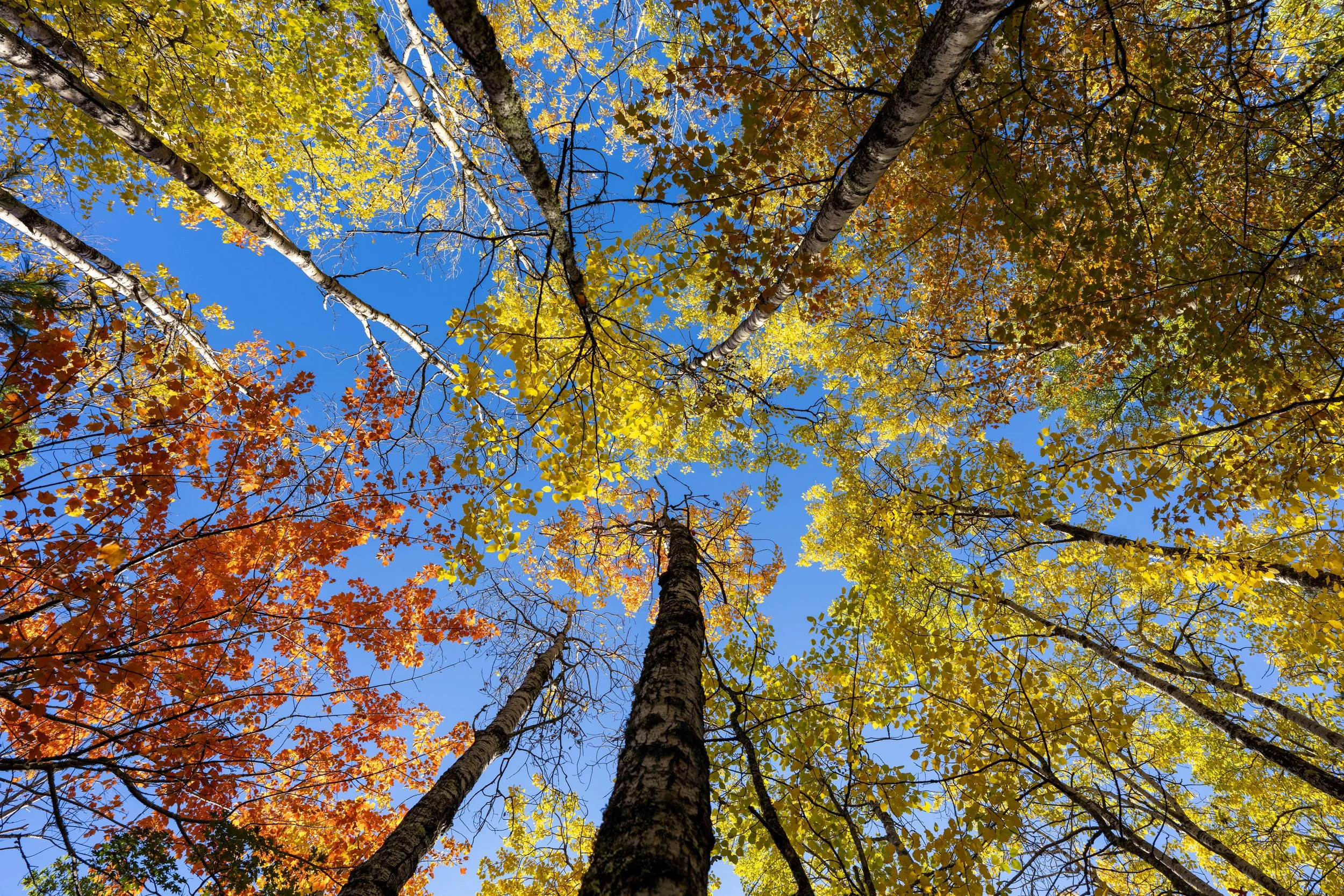
In my opinion, the Tilson Bay Connector, along with the bike path just ahead, are some of the best places to find fall colors on the entire hike!
County Road 96
This is where the Tilson Bay Connector Trail crosses County Road 96, just before the bike path on the far side.
Tilson Bay Connector-Rainy Lake Recreation Junction
On the north side of County Road 96, the Tilson Bay Connector ends at this junction with the Rainy Lake Recreation Trail, more commonly known as the Rainy Lake Bike Path.
Once here, go right to begin hiking the paved trail back to the upper parking area and visitor center shortly thereafter.
In my opinion, the colors, specifically the Aspens that line the bike path, are one of the best and most beautiful parts of the entire hike and one of the main reasons I recommend hiking the slightly longer route instead of returning on the Oberholtzer Trail.
This is where the Rainy Lake Recreation Trail starts paralleling Krause Bay on the left-hand side.
It’s hard not to love peak fall colors in the North Woods, but this is exactly why I believe biking the Rainy Lake Recreation Trail is one of the best things to do in Voyageurs National Park!
This is where the bike path crosses the exit for the upper parking lot near the visitor center.
This is where the bike path passes the upper parking lot just before the Rainy Lake Visitor Center.
Rainy Lake Recreation Trailhead
Finally, after roughly 1.9 miles (3.1 km), depending on which route you decided to take at both loops, the Rainy Lake Bike Path returns to the Rainy Lake Visitor Center.
Rainy Lake Visitor Center
This is the same junction from the very beginning of this article, where the paved path first passed the visitor center on the walk down to the Oberholtzer Trailhead.
That said, I recommend walking through and checking out the exhibits inside the visitor center before leaving, as there is a lot to learn about Voyageurs National Park and the history of the people who settled the area long before the park was established in 1975.