Hiking the Avalanche Lake Trail in Glacier National Park
Distance: 4.8 miles / 7.7 km
The Avalanche Lake Trail in Glacier National Park is a beautiful and relatively easy day hike on the west side of Going-to-the-Sun Road that leads to a breathtaking glacial-carved alpine basin, surrounded by towering cliffs and cascading waterfalls!
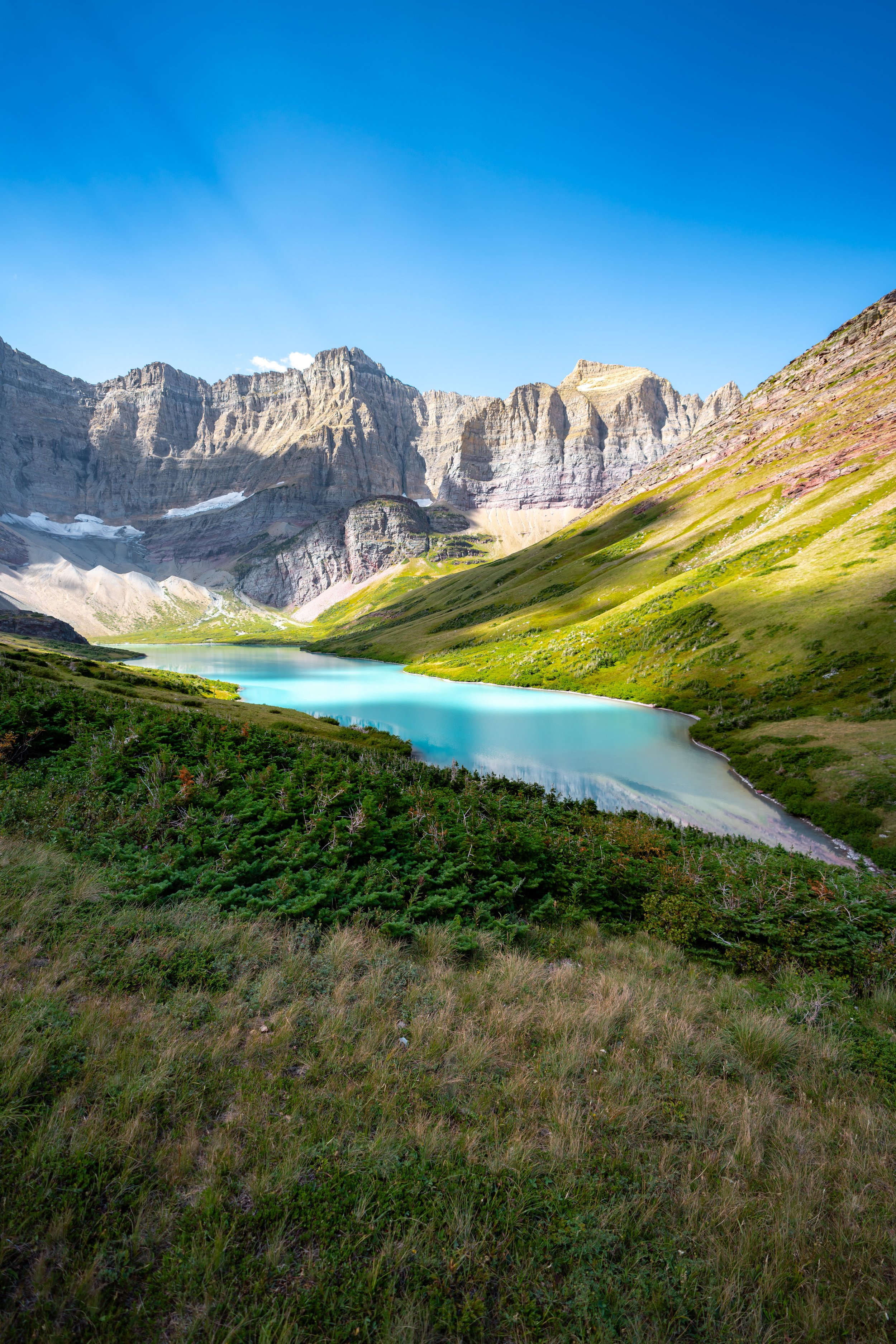
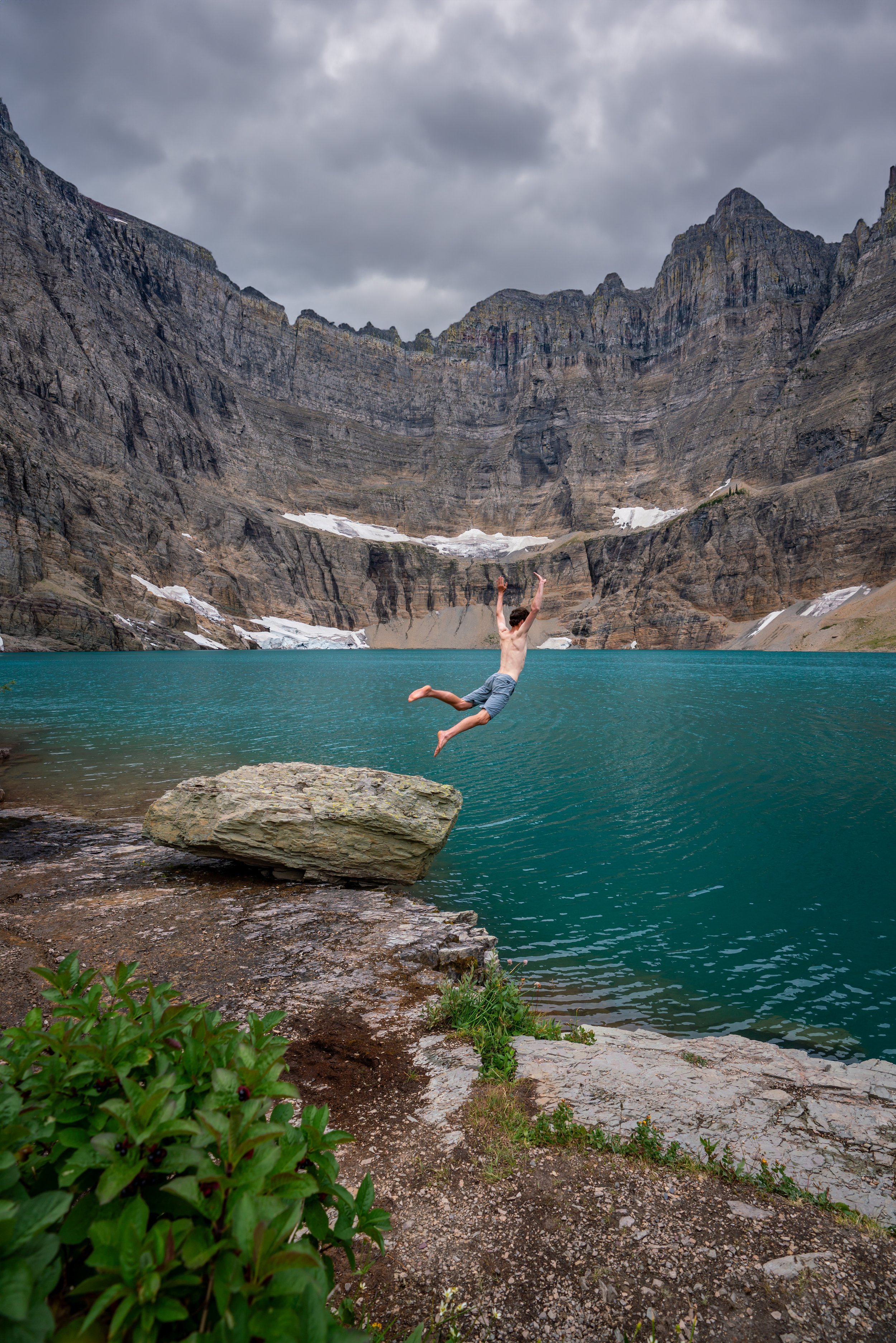
For these reasons, the Avalanche Lake Trail is inevitably one of the park’s most popular trails compared to other, more challenging alpine lake adventures, like Cracker Lake and Iceberg Lake out of Many Glacier.
For this reason, I highly recommend starting early in the morning to avoid the crowds, which is without a doubt the best way to see and spend some time at Avalanche Lake before exploring elsewhere in the park.
Avalanche Lake Trailhead Parking
Parking for the Avalanche Lake Trail is located at the joint trailhead with the Trail of the Cedars.
That being said, parking here, like many other trailheads throughout Glacier, is extremely competitive on nearly every nice day during the busy summer season. For this reason, I recommend arriving early, which is also one of the better ways to enjoy Avalanche Lake without the crowds.
Google Maps Directions: Avalanche Lake Trailhead
Hiking Checklist - Glacier
Here is a complete list of must-have things that you will want for any hike in Glacier National Park.
Hiking the Avalanche Lake Trail
For the first 0.4 miles (0.6 km), the Avalanche Lake Trail follows the Trail of the Cedars until the back of the loop, near the second bridge crossing over Avalanche Creek.
Trail of the Cedars
This is the split for the Trail of the Cedars loop.
Overall, it makes no difference which direction you choose to hike the loop in order to reach the Avalanche Lake junction, as the trail going straight over Avalanche Creek is only 0.1 miles (0.2 km) longer.
The photos below is the trail on the right side of the loop.
Along the right side, the Trail of the Cedars parallels the Avalanche Campground.
Avalanche Lake-Trail of the Cedars Junction
At the back of the loop, the Avalanche Lake Trail branches off from the Trail of the Cedars.
This is also where the trail will noticeably start gaining elevation, but overall, the elevation gain is fairly mild.
Avalanche Lake-Lake McDonald Lodge Junction
Then, immediately after the Avalanche Lake junction shown above, the trail splits again with the trail that heads south toward the Lake McDonald Lodge.
Go left to continue hiking toward Avalanche Lake.
After the two junctions above, the Avalanche Lake Trail simply follows Avalanche Creek all the way to the lake.
From the Trail of the Cedars split to Avalanche Lake, the hike gains about 500 ft. (152 m) of elevation over the course of 1.6 miles (2.6 km), where the trail begins a gradual downhill to the water.
Over this distance, the elevation gain is not too strenuous compared to other popular hikes throughout the park, such as the Grinnell Glacier Trail.
At about the 1.4-mile (2.3 km) mark, you may notice another canyon off to the left that joins with Avalanche Creek.
To put things in perspective, the creek running down this canyon is Hidden Creek, which is exactly where Hidden Lake, up toward Logan Pass, drains down into Avalanche Creek.
As the trail nears Avalanche Lake, the trees will noticeably start to thin, which is a nice sign that you’re getting close!
Since Avalanche Lake is so popular, there is a pit toilet for all visitors just prior to the lake.
At the end of the trail, you can explore as much or as little of Avalanche Lake as you’d like.
The 4.8-mile (7.7 km) or 2.4-mile (3.9 km) one-way distance is only as far as the most typical stopping point along the shoreline of Avalanche Lake. However, if you choose to hike all the way to the back of Avalanche Basin, the distance will be a little more than 5.0 miles (8.0 km) overall.
Avalanche Lake
In my opinion, Avalanche Lake is one of the most picturesque alpine lakes in Glacier National Park!
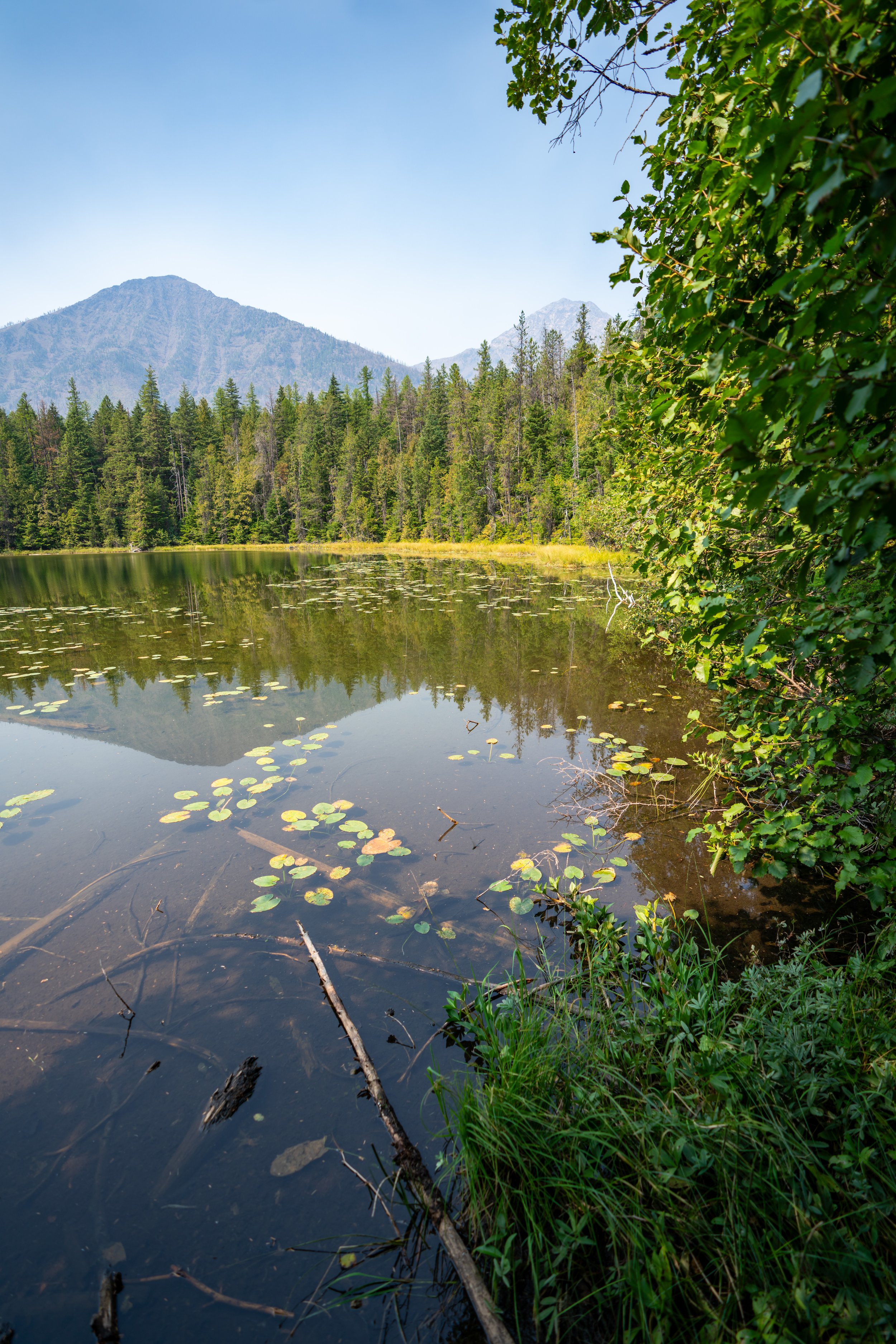
While the lake is fairly shallow and only has a maximum depth of around 63 ft. (19 m), these conditions make for amazing landscape photography opportunities.
Additionally, if you're willing to explore the shoreline, there are better places to fish toward the back of the lake compared to the shallow shoreline where this photo was taken.


