
Distance: 3.3 miles / 5.3 km
The Kab–Ash Loop Trail in Voyageurs National Park is the beautiful, isolated loop on the east side of Mead Wood Road that is often treated as its own separate day hike from the much longer +20-mile (32.2 km) thru-hike that connects the community of Ash River, also called Frontier, with the Kabetogama community on the far western end!
By this, I mean that the Kab–Ash Loop Trail is not a separate designated or named trail by the National Park Service but is instead just a small portion of the long Kab–Ash Trail.
However, the reason the Kab–Ash Loop is seen as a separate adventure is because it is easily the most practical day hike on the Kab–Ash Trail, as this short portion is very well maintained—something that can’t be said about much of the trail—and it starts and ends where it began, while most other hikes on the trail are treated as one-way hikes because they are much longer and more difficult.
All that to say, I highly recommend hiking the Kab–Ash Loop Trail if you are interested in seeing part of the Kab–Ash Trail without committing to something much longer and more involved. The alternative is generally breaking up the Kab–Ash Trail into one of three different segments, either by staging cars or planning a ride, which is why the Kab–Ash Loop is the best option for out-of-state visitors who don’t have this luxury.
How Long is the Kab–Ash Loop Trail?
Since the Kab–Ash Loop Trail is only a small portion the full Kab–Ash Trail, I’ve broken down each section to help you plan your adventure.
Kab–Ash Loop Distances:
Kab–Ash Loop Trailhead to Kab–Ash Loop Junction: 0.35 miles (0.6 km)
Full Kab–Ash Loop Trail: 2.6 miles (4.2 km)
Total Distance: 3.3 miles (5.3 km)
Kab–Ash Loop Trailhead Parking
Parking for the Kab–Ash Loop Trail is located directly off Mead Wood Road, about 2.0 miles (3.2 km) north of the junction with Ash River Trail Road.
This is the joint parking area that serves the Kab–Ash Trail, heading toward both Ash River to the east and Kabetogama to the west, as well as the very short Beaver Pond Overlook Trail.
Google Maps Directions: Kab–Ash Loop Trailhead
Hiking Checklist - Voyageurs
Here is a complete list of must-have things that you will want for any hike in Voyageurs National Park.
Hiking the Kab–Ash Loop Trail
The Kab–Ash Loop Trail begins on the east side of Mead Wood Road.
This is the direction that heads east toward Ash River, the opposite side of the road from the trailhead parking area.
The Kab–Ash Loop Trail follows the main Kab–Ash Trail for about 0.35 miles (0.6 km) along the south side of Sullivan Bay.
Since the Kab–Ash Loop is one of the most popular day hikes on the Kab–Ash Trail, this short stretch is one of the least overgrown sections, which, again, is something that cannot be said about much of the full thru-hike from Ash River to Kabetogama.
This small creek and waterfall on the left-hand side of the Kab–Ash Trail is one of the better pockets of color on the full hike!
Kab–Ash-Kab–Ash Loop Junction
After just over 0.3 miles (0.5 km), the Kab–Ash Trail reaches the junction with the Kab–Ash Loop Trail.
Once here, go right (straight), and the loop will begin just a few steps ahead.
Read My Separate Post: Kab–Ash Trail (Coming Soon)
Kab–Ash Loop Trail
This is the start of the 2.6-mile (4.2 km) Kab–Ash Loop Trail.
That said, I don’t believe it makes much of a difference which direction you decide to hike in terms of enjoying the trail, as both sides are very similar in terms of elevation change and forest type.
For no particular reason, I chose to go left in the clockwise direction around the Kab–Ash Loop Trail.
After turning left, the Kab–Ash Loop Trail begins a slow climb, gaining roughly 200 ft. (61 m) over 0.8 miles (1.3 km) to the highest point on the hike.
However, the ascent is hardly noticeable over this distance, which is why I believe this, and any section of the long Kab–Ash Trail, is not a steep adventure by any means.
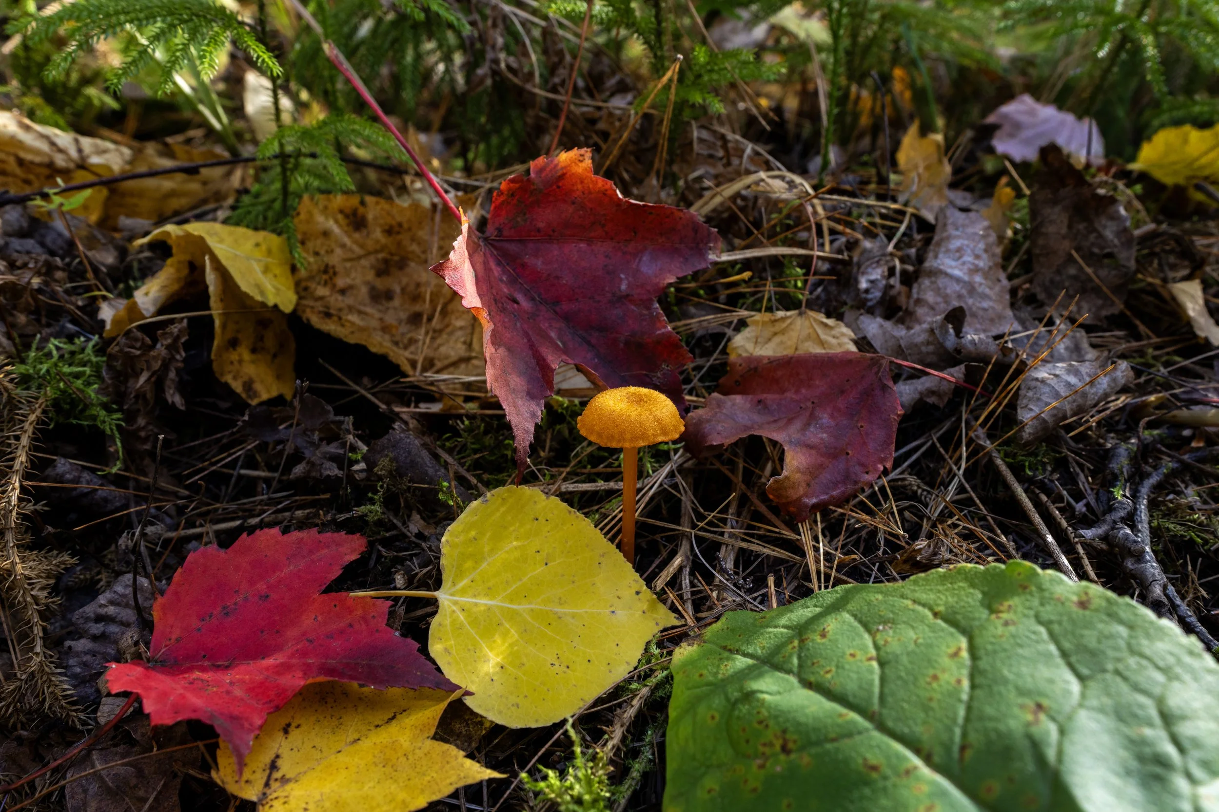
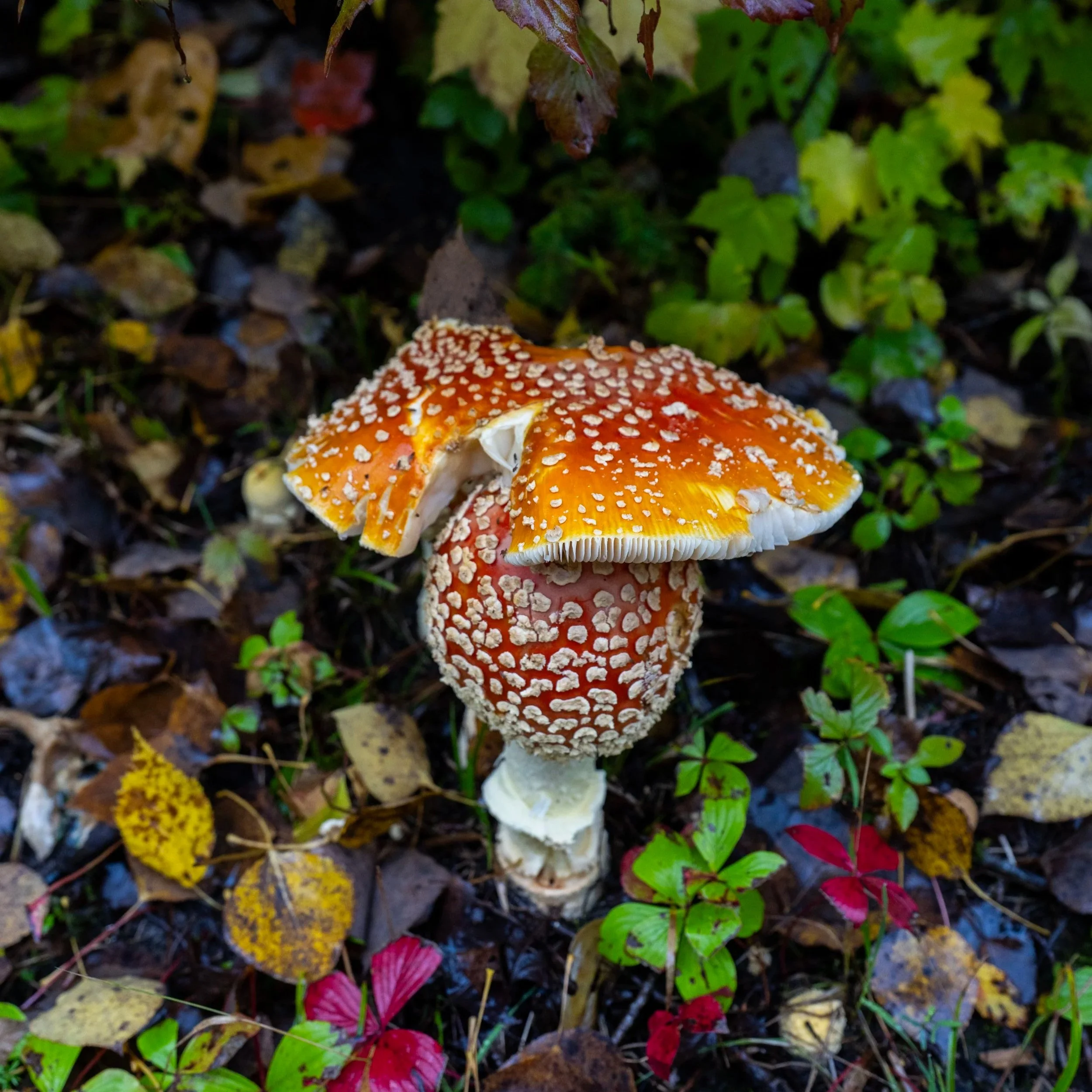
I’ve often believed the mushrooms across the Minnesota North Woods rival, and may perhaps be even more beautiful than, the mushrooms across the best old-growth forests in the Pacific Northwest!
It’s certainly a fun debate to have, but don’t forget to look down, or you’ll surely miss a lot of the beauty Voyageurs National Park has to offer!
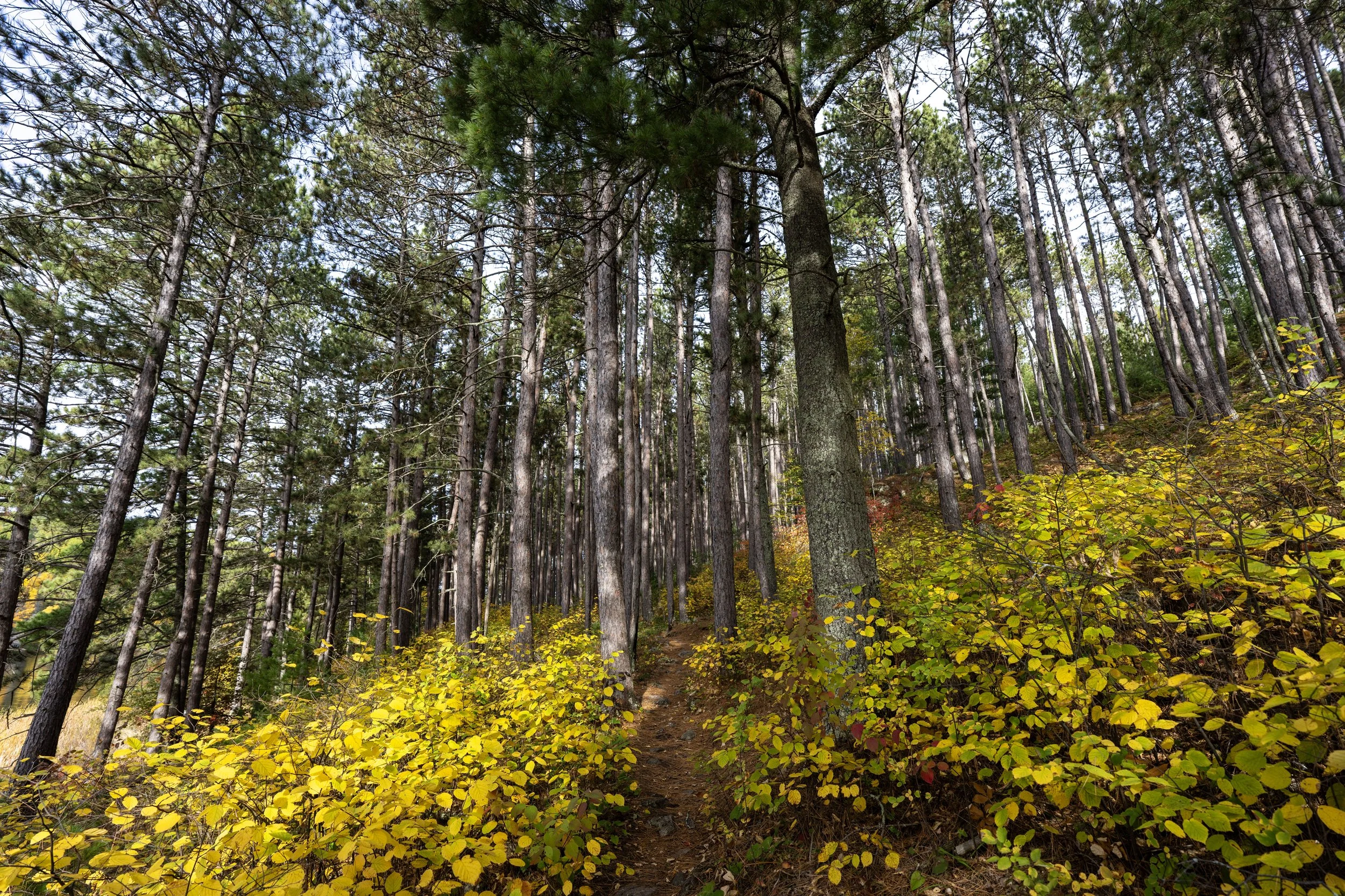
The majority of the Kab–Ash Loop Trail traverses a mixed Balsam Fir–Red Pine forest, with pockets of color scattered throughout.
This is why I do not believe the Kab–Ash Loop is the best day hike for fall colors in Voyageurs National Park, but it is still my recommended choice if you want to see some of the Kab–Ash Trail without committing to anything longer.
If you are visiting Voyageurs National Park during the warmer summer months, I strongly recommend bringing a bug net because of how bad the biting flies are during this time.
The National Park Service even warns of this on the trailhead sign, which is why I like to say, "Don’t try to play it tough!"
You’ll be happy you bought the bug net below if you are visiting during the summer!
The only alternative to bringing a bug net that I would suggest during the summer months is if you planned to trail run!
However, you would need to know yourself as the type to run without needing to take a break because the bugs are just that relentless, meaning the second you stop is the moment they become a problem.
If trail running is something you’re considering, I recommend using the shoes I have linked below, as they work well for both hiking and trail running on all the best adventures across Voyageurs National Park.
This is about as steep as the Kab–Ash Loop Trail ever gets!
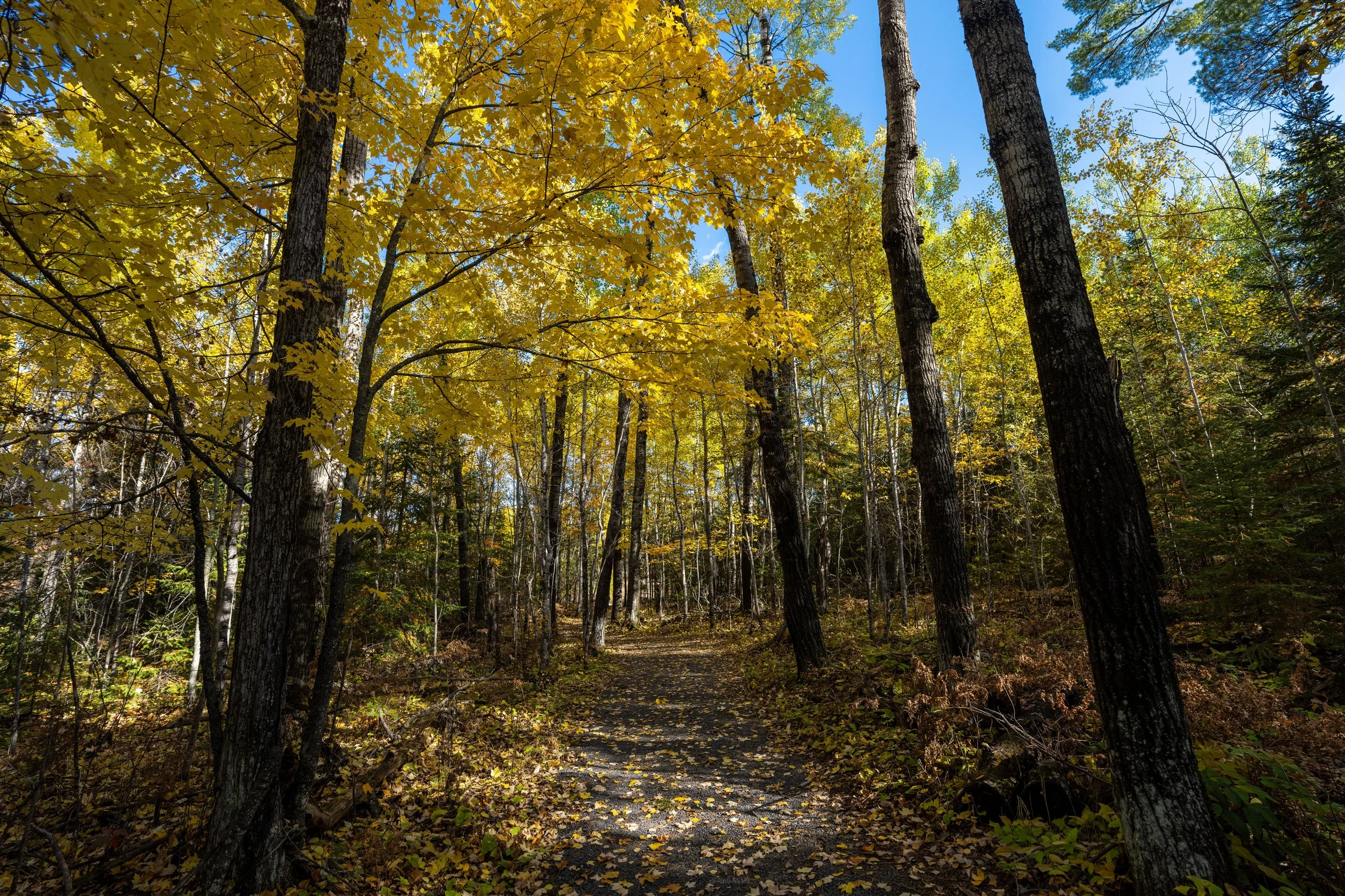
The trees surrounding the trail are mostly Red Pines and Northern Pin Oaks, but it’s really the Maples scattered throughout that make for the best colors in Voyageurs National Park!
At a few random points on the Kab–Ash Loop, the trail makes abrupt turns in either direction when it looks like the correct path is to go straight.
That said, this area is one of those spots where the Kab–Ash Loop turns hard to the right.
This is important to look out for, especially if you are trail running, as rock cairns and very small tree markers are the primary trail markers throughout the loop.
When the Kab–Ash Loop Trail first encounters this set of power lines near the far southern end of the loop, the trail may look like it branches down to the left.
However, stay on the uphill side to the right, and the correct path will become more defined in just a few steps.
Shortly after the power lines shown in the photo above, the Kab–Ash Loop makes another hard right turn to continue on the correct trail.
This is another vague turn where the trail appears to continue straight, but the correct route is to the left.
On that note, I believe that even with all these subtle turns, the Kab–Ash Loop Trail is far easier to navigate than the full Kab–Ash Trail, mainly as a result of how overgrown the least-trafficked sections are.
Based on the age of this scat, I must have been very close to a Black Bear, though I never actually saw one on the hike.
That said, hiking with or without bear spray truly depends on your personal comfort level when hiking in Black Bear territory.
If you’re flying to the park by way of Minneapolis, Duluth, or International Falls, be aware that it is illegal to fly with bear spray. However, if you are driving to Voyageurs National Park, I recommend buying it in advance to save money.
The tower that can be seen above the trees is the Sullivan Bay Communications Tower, more commonly known as the High Point Tower, as it sits directly atop the highest natural point in Voyageurs National Park at approximately 1,410 ft. (430 m).
In my opinion, there really is nothing too special about the high point unless you want to walk over just to say you were there.
The beautiful red and orange Oaks are what dominate the south side of the Kab–Ash Loop Trail during the fall.
This abrupt transition from the more exposed granite slopes back into the Balsam Fir–Red Pine forest is roughly 1.2 miles (1.9 km) from the start of the loop and the junction with the main Kab–Ash Trail.
During the winter, the trail markers that can be seen on the tree in the distance are the best way to navigate these somewhat remote ski trails across Voyageurs National Park.
This small creek is one of the only mental checkpoints on the western half of the loop, and it’s a nice sign that the trail is about to make the hard turn back to the north shortly ahead.
This is where the Kab–Ash Loop Trail abruptly turns back to the north on the far southwest side of the loop, roughly 0.6 miles (1.0 km) from the initial junction.
Kab–Ash Loop-SB Communications Tower Road Junction
The only junction on the entire loop is where the Kab–Ash Loop crosses the access road that connects the Sullivan Bay Communications Tower with Mead Wood Road.
Once here, go straight at this intersection and do not follow the road in either direction to continue on the Kab–Ash Loop Trail back to the trailhead.
This is where the loop continues on the far side of the Communications Tower Road.
As the Kab–Ash Loop nears the initial junction, cars driving Mead Wood Road can usually be heard through the trees, as this is the closest point on the hike to the road apart from the trailhead.
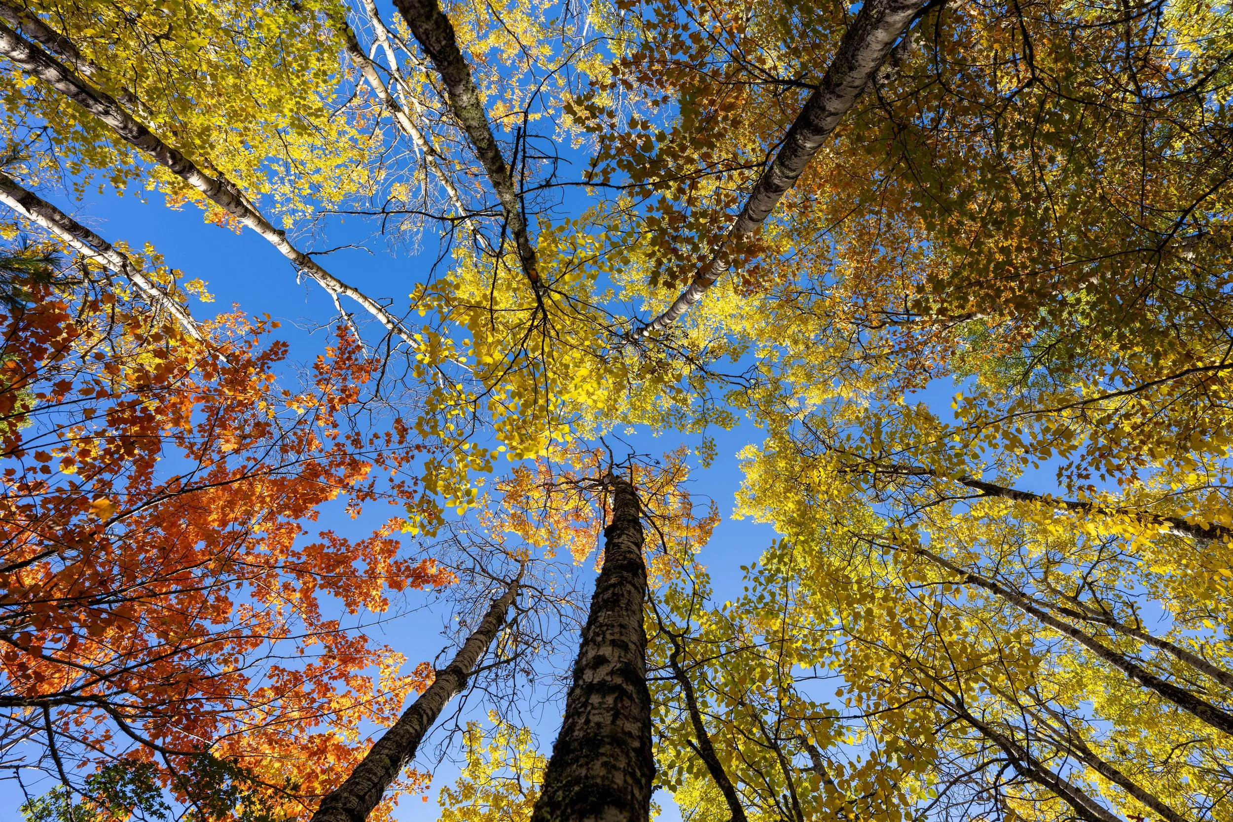
In my experience, the most beautiful fall colors are located on the far northwest side of the loop, just before it returns to the main Kab–Ash Trail!
Kab–Ash Loop Junction
This is where the Kab–Ash Loop completes the 2.6-mile (4.2 km) loop at the junction just off the main Kab–Ash Trail.
Once back at this split, go left, then left immediately after to return to the joint trailhead off Mead Wood Road.
Kab–Ash-Kab–Ash Loop Junction
This is the second junction immediately after the point where the loop comes back together in the photo above.
Once again, go left to return to the joint Kab–Ash Trailhead off Mead Wood Road.
Read My Separate Post: Kab–Ash Trail (Coming Soon)