
Distance (Full Loop): 2.5 miles / 4.0 km
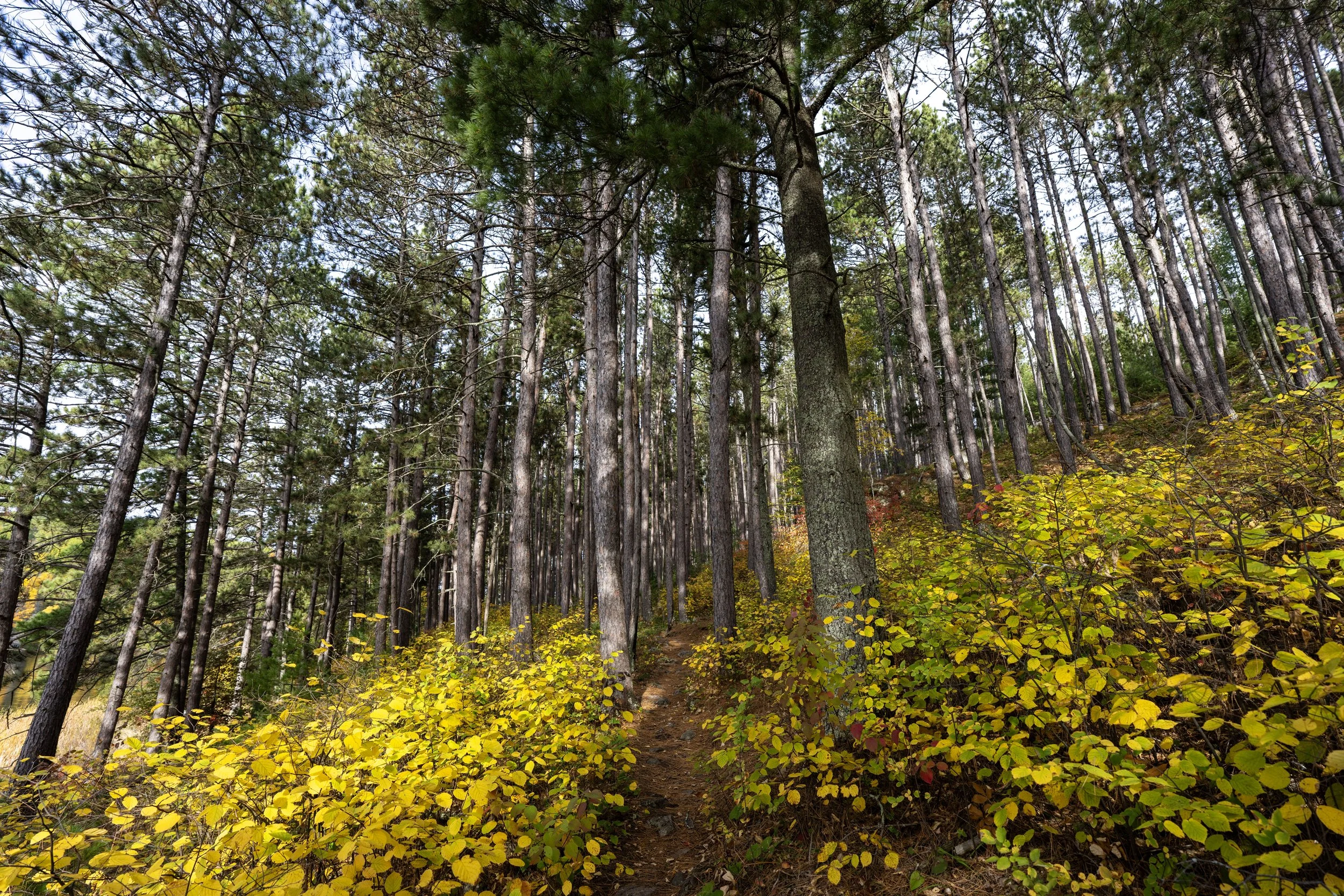
The Echo Bay Trail in Voyageurs National Park is an easy day hike around an isolated Beaver pond on the south side of Kabetogama Lake that traverses through a mixed boreal forest, passes a little overlook of the pond, and even makes for a great place to cross-country ski during the winter!
The Echo Bay Trail is also one of the shorter and flatter adventures in Voyageurs National Park, and I mention this because I believe it is one of the better hikes to trail run. I say this both for all the reasons mentioned above and because it is much more trafficked than other hikes in the park, meaning there is essentially no overgrowth on the loop—something that certainly cannot be said about many others, such as the Kab–Ash Trail.
Either way, the Echo Bay Trail is a great, fun option to consider, and it’s one that I think makes for a great adventure on the same day you have a Kabetogama Lake boat tour scheduled, since it is conveniently located between the two most popular places boat tours depart!
How Long is the Echo Bay Trail?
Since there is either the option to hike the full Echo Bay Trail or shorten the loop by following the shortcut, I’ve broken down each section to help you plan your adventure.
Echo Bay Distances:
Echo Bay Trailhead to EB Beaver Pond Overlook Junction: 0.8 miles (1.3 km)
Echo Bay Beaver Pond Overlook Trail: 0.05 miles (0.08 km)
EB Beaver Pond Overlook Junction to West EB Shortcut Junction: 0.1 miles (0.2 km)
Echo Bay Shortcut: 0.3 miles (0.5 km)
Eliminates: 0.7 miles (1.1 km)
West EB Shortcut Junction to East EB Shortcut Junction: 1.0 miles (1.6 km)
East EB Shortcut Junction to Echo Bay Trailhead: 0.5 miles (0.8 km)
Total Distance (Full Loop): 2.5 miles (4.0 km)
Total Distance (Short Loop): 1.8 miles (2.9 km)
Echo Bay Trailhead Parking
Parking for the Echo Bay Trail is located in a small parking lot directly off Northern Lights Road, about halfway between the Gappa Road junction and Arrowhead Lodge.
This is why I previously mentioned that the Echo Bay Trail is great to plan on the day you have a Kabetogama boat tour scheduled, as most depart from Wooden Frog Campground, just up the road, or from the Kabetogama Lake Visitor Center, just to the south.
Google Maps Directions: Echo Bay Trailhead
Hiking Checklist - Voyageurs
Here is a complete list of must-have things that you will want for any hike in Voyageurs National Park.
Hiking the Echo Bay Trail
There are two trailheads that branch out in either direction from the parking area, but it is most common to begin at the one on the left and hike clockwise around the 2.5-mile (4.0 km) loop.
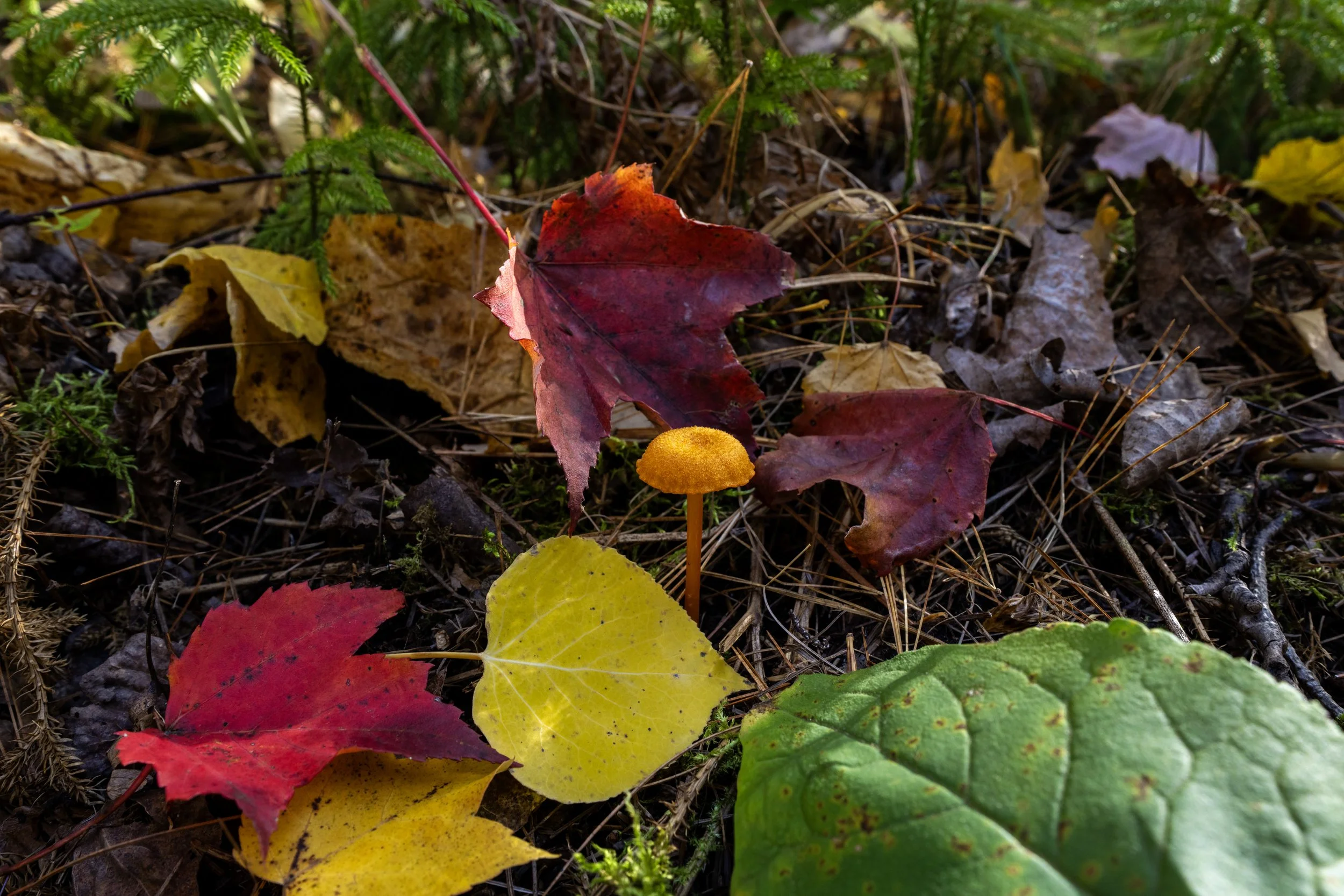
Many of my hiking articles from Voyageurs National Park are mostly centered around peak fall colors, but this hike on the Echo Bay Trail is actually a few days before the leaves really started to turn.
I mention this because I have photos from one particular spot in Voyageurs that were taken just five days apart from one another. In the first photo, the Aspens were mostly green but starting to turn slightly.
However, in the second photo, from the same spot five days later, the Aspens were completely gold and had reached peak color!
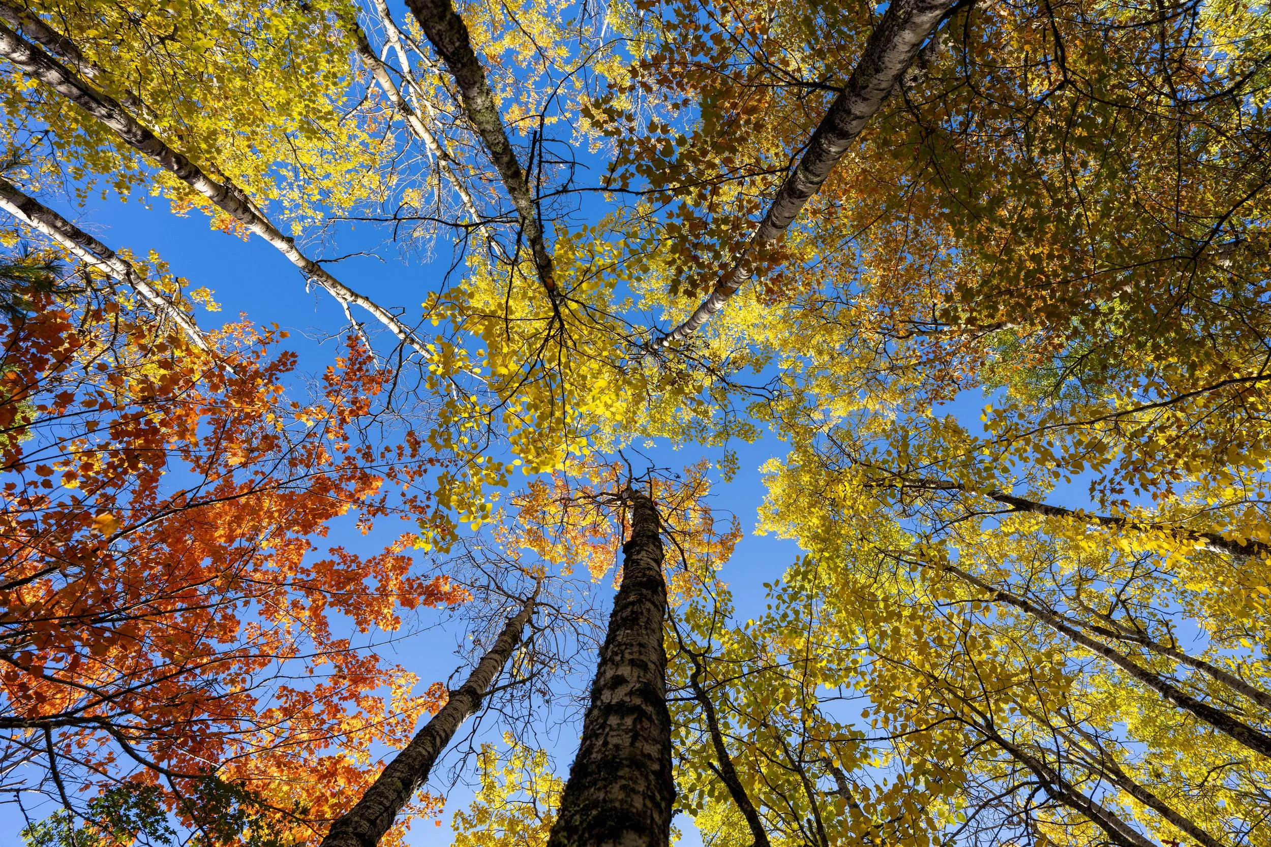
I hope this story shows just how fast the colors can and do change in northern Minnesota, which is why I generally recommend starting a trip just before peak is predicted, as this is when the Maples, the trees with the most color, really start to pop!
I like this photo because I think it best shows just how easy it can be to mix up three-leafed plants, where the two outer leaves look like mittens, with Poison Ivy.
That said, this is not Poison Ivy, which is native to Voyageurs National Park but is not known to be particularly abundant in the dense boreal forests of northern Minnesota, at least not as common as it is along just about every trail in other places, like those in Wind Cave National Park.
This is the stretch that parallels Gamma Road on the left-hand side.
Echo Bay-Echo Bay Beaver Pond Overlook Junction
After 0.8 miles (1.3 km), the Echo Bay Trail reaches the short side trail that leads to the main Beaver pond overlook at the center of the loop.
Once here, I recommend going right to check out the overlook, as it takes very little time and only adds about 0.1 miles (0.2 km) to the overall hike.
Regarding my thoughts above, I chose to go right to hike the short 0.05-mile (0.08 km) trail to the overlook.
Echo Bay Beaver Pond Overlook
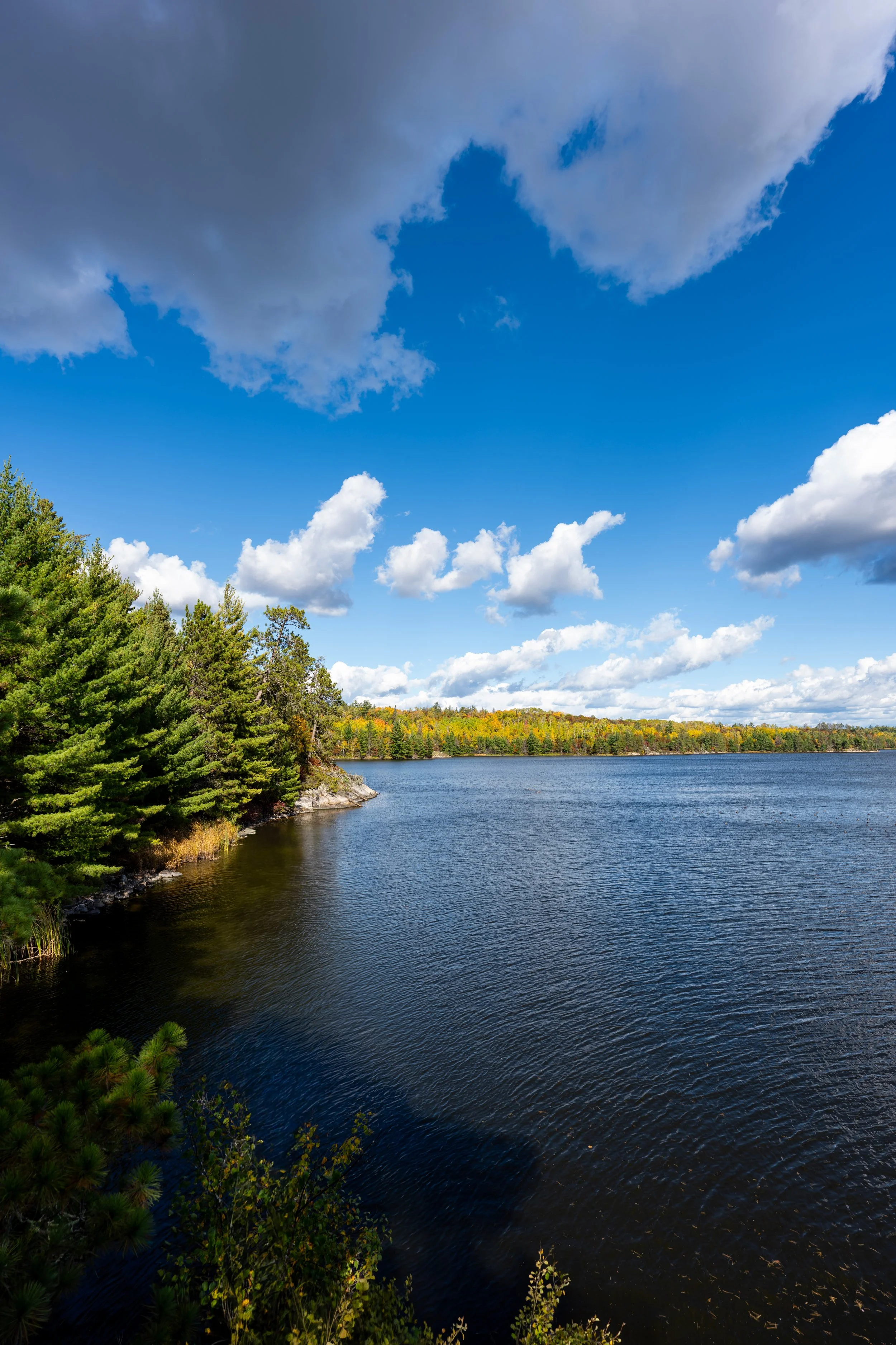
This is the south-facing overlook on the north side of the Echo Bay Beaver Pond.
After returning to the main Echo Bay Loop, there is only 0.1 miles (0.2 km) until the trail reaches the optional shortcut, which eliminates about 0.7 miles (1.1 km) from the full 2.5-mile (4.0 km) loop.
West Echo Bay-Echo Bay Shortcut Junction
This next split is where the Echo Bay Trail reaches the junction for the optional shortcut to continuing hiking around the perimeter of the Beaver pond at the center of the loop.
That said, go left to continue hiking the full Echo Bay Loop Trail, or, if you’d prefer to shorten the hike, which can be a great option when hiking the loop before a scheduled boat tour, go right to begin the 0.3-mile (0.5 km) shortcut.
To skip ahead to the Echo Bay Shortcut Trail, click here.
This is where the route continues to the left around the full 2.5-mile (4.0 km) Echo Bay Loop Trail.
West Echo Bay-Echo Bay Ski Junction
After just 0.1 miles (0.2 km) since leaving the Shortcut Trail behind, the Echo Bay Trail passes the first of two junctions for the Echo Bay Ski Trail.
This is the optional 1.0-mile (1.6 km) cross-country ski trail that can be enjoyed during the winter off-season.
However, where there is no snow, go right at this split to continue on the maintained hiking portion of the Echo Bay Trail, as ski trails are generally not as clear or well-maintained as hiking trails.
This next stretch between the first West Ski Trail junction and the East Ski Trail junction is roughly 0.2 miles (0.3 km), or about 0.8 miles (1.3 km) shorter if you are cross-country skiing during the winter.
East Echo Bay-Echo Bay Ski Junction
This is where the Echo Bay Ski Trail rejoins the main hiking loop around the Echo Bay Beaver Pond.
That said, go right at this split to continue hiking the full Echo Bay Trail back to both the other side of the shortcut and the trailhead shortly thereafter.
This is where the Echo Bay Trail turns sharply to the south at the northernmost point of the loop.
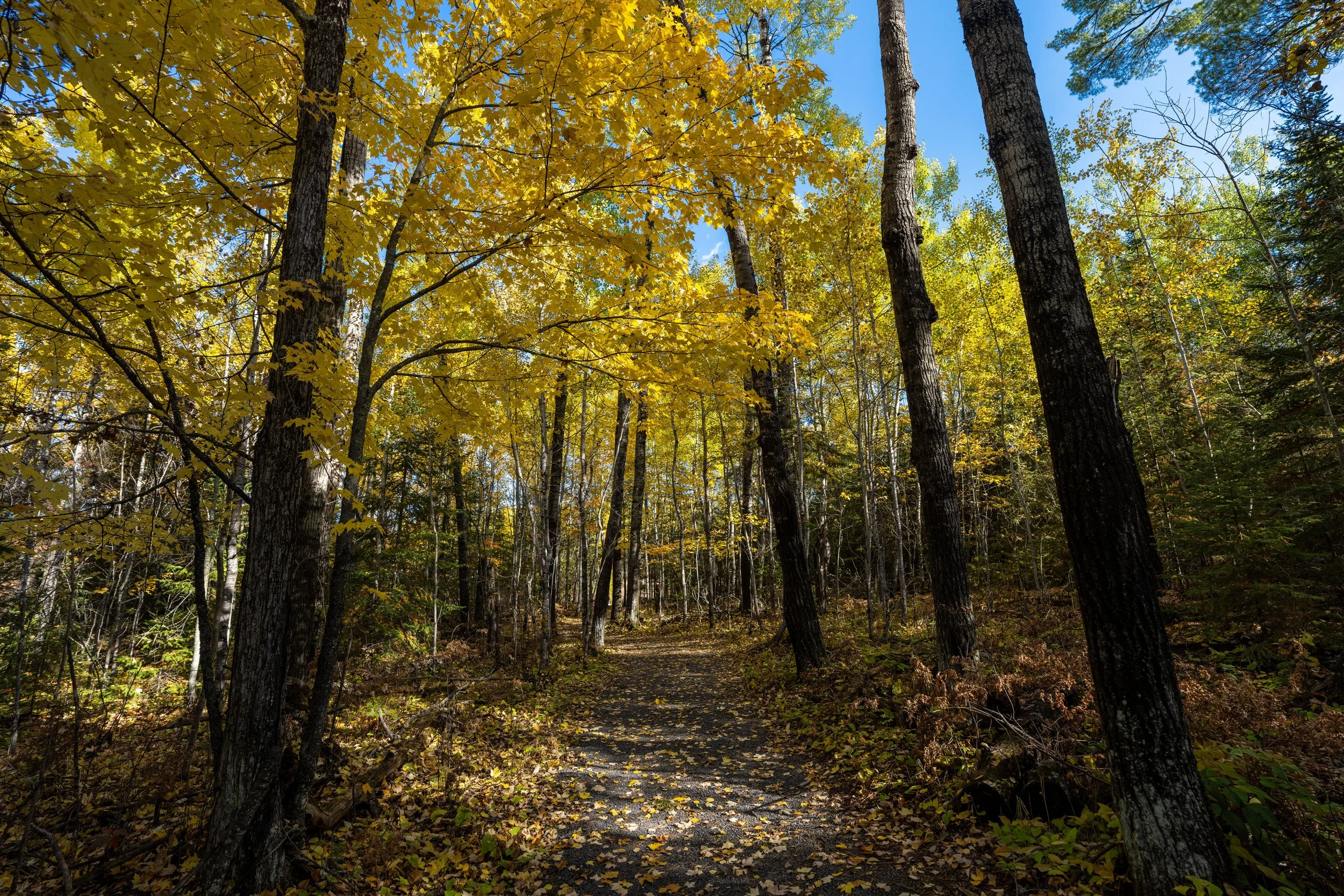
I think this photo is a very good example of how different species change at slightly different times in Voyageurs National Park.
By this, I mean that the most colorful trees in the photo below are Maples, but the tall green tree on the right side of the trail in the distance is a Birch, which has yet to change.
Hopefully, this helps illustrate just how different and niche the on-the-ground conditions are from what fall foliage trackers will say, but this is, again, why I recommend visiting Voyageurs just before the peak if you are planning to visit specifically for the colors.
The one thing to know about running the Echo Bay Trail is that it can get a bit muddy if it has rained recently.
If trail running is something you’re considering, I recommend using the shoes I have linked below, as they work well for both hiking and trail running on all the best adventures across Voyageurs National Park.
The east side of the full Echo Bay Trail was my favorite half for enjoying the best colors, in my opinion!
East Echo Bay-Echo Bay Shortcut Junction
This is where the Echo Bay Trail reaches the other side of the optional Shortcut Trail, roughly 1.0 mile (1.6 km) past the first junction.
Once here, go left to continue hiking the Echo Bay Trail back to the trailhead, about 0.5 miles (0.8 km) from this point.
This is where the Echo Bay Loop turns sharply to the south after the second junction with the Shortcut Trail.
Apart from the overlook, this is the closest the Echo Bay Trail comes to the central Beaver pond, and it’s also the last time the pond is seen on the hike before returning to the trailhead.
This is where the Echo Bay Trail turns sharply away from the Beaver pond, just 0.25 miles (0.4 km) from the trailhead.
Voyageurs National Park Boundary
Just before the Echo Bay Trail returns to the trailhead, the loop crosses a small corner of private property before returning to federal land just a few steps ahead.
Voyageurs National Park Boundary
This is where the Echo Bay Trail re-enters Voyageurs National Park.
After the short corner crossing, there is just over 0.1 miles (0.2 km) before the Echo Bay Trail completes the loop and returns to the trailhead.
Echo Bay Trailhead
Finally, after 2.5 miles (4.0 km) around the full loop, or 1.8 miles (2.9 km) when hiking the shortcut, the Echo Bay Trail returns to the trailhead.
If you are planning to hike the Echo Bay Trail early in the morning before a scheduled boat tour, be aware that it’s about a 2.4-mile (3.9 km), or 6-minute, drive to the Wooden Frog Public Access, or about 3.7 miles (6.0 km) and 6 minutes to the Kabetogama Lake Visitor Center.
West Echo Bay-Echo Bay Shortcut Junction
If you’re planning to hike the short loop around the Echo Bay Beaver Pond, go right at the first junction with the shortcut, just 0.1 miles (0.2 km) from the Overlook Trail.
The Echo Bay Shortcut is only 0.3 miles (0.5 km) total, and the nice part is, there are more views of the central Beaver pond along the way!
About halfway between the two junctions with the outer loop, the shortcut passes this abandoned car on the left-hand side of the trail.
East Echo Bay-Echo Bay Shortcut Junction
This is where the Echo Bay Shortcut rejoins the outer Echo Bay Loop.
That said, go straight at this split to continue hiking back to the trailhead off Northern Lights Road, about 0.5 miles (0.8 km) away from this point.
To skip back to this same junction shown previously, click here.