
Distance (One Way Paddle to the Trailhead ): 0.8 miles / 1.3 km
Distance (RT on Trail): 1.2 miles / 1.9 km
The Black Bay Beaver Pond Trail in Voyageurs National Park is a very short and easy day hike on the Rainy Lake side of the Kabetogama Peninsula that leads to a remote pond where visitors can sit back and look for Beavers and other wildlife, such as Moose, at the end of the trail!
That said, the Black Bay Beaver Pond Trail is not necessarily what sets the adventure apart from others in the park, in my opinion, but rather the fact that it is one of the only remote trailheads that is actually practical to reach by kayak or canoe, as the vast majority of those that can’t be driven to are too far and, as a result, unsafe to try and reach under your own power.
However, the Black Bay Beaver Pond Trail is one of the only exceptions, as the trailhead is only a 0.8-mile (1.3 km) paddle from the Rainy Lake Visitor Center.
For this reason, I don’t recommend utilizing one of the local operators as a water taxi to get to and from the trailhead. I say this because, if you find some nice weather, the journey to and from the visitor center really is part of the adventure, and getting there on your own allows for the opportunity to explore the small unnamed island located just offshore of the trailhead!
Black Bay Beaver Pond Trailhead Parking
When paddling to the Black Bay Beaver Pond Trailhead, parking is best at the Rainy Lake Visitor Center, about 11.9 miles (19.2 km) east of International Falls.
Once there, the visitor center has both an upper and a lower parking lot, but the lower one, which serves the boat launch, is the easiest and closest option to the Rainy Lake Paddle Access.
Google Maps Directions: Black Bay Beaver Pond Trailhead
Hiking Checklist - Voyageurs
Here is a complete list of must-have things that you will want for any hike in Voyageurs National Park.
Hiking the Black Bay Beaver Pond Trail
Rainy Lake Paddle Access
The Rainy Lake Paddle Access is located on the far south side of the lower parking lot that serves the public boat launch.
Paddling to the Trailhead
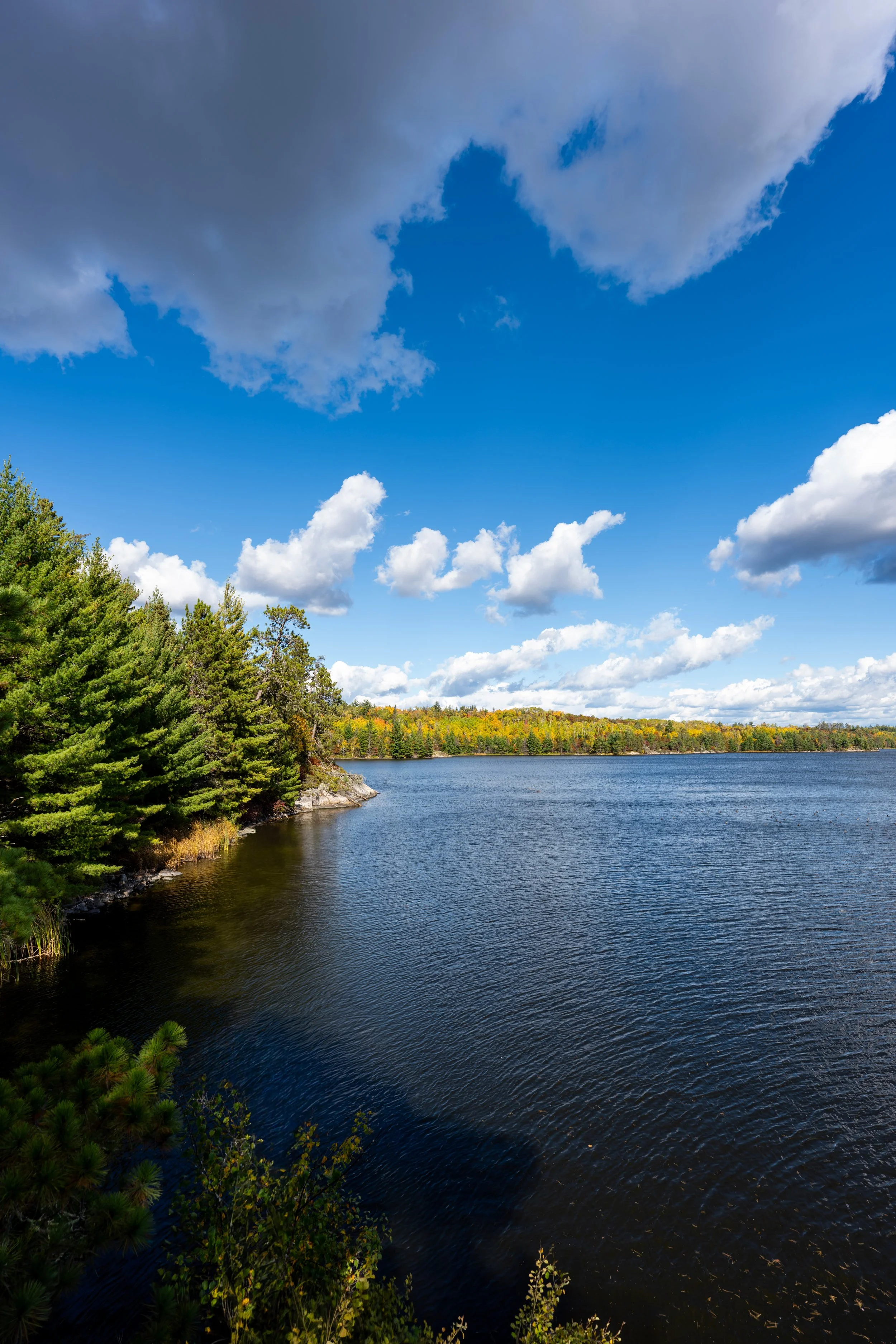
This is the view looking east when leaving the Rainy Lake Paddle Access.
That said, go left after passing the dock in the distance on the left-hand side to begin paddling north toward the mouth of Black Bay and the Black Bay Beaver Pond Trailhead on the far side.
After turning left around the dock, the main thing to remember is to paddle northeast toward the gap between the Kabetogama Peninsula and the unnamed island just offshore.
Other than that, try to steer clear of other watercraft, and, if necessary, turn back if the conditions are too rough, as making to the trailhead is only half the journey!
The closest trees on the left-hand side of the photo below are on the unnamed island.
This is the gap between the Kabetogama Peninsula and the unnamed island.
After paddling between the island and the peninsula, the Black Bay Beaver Pond Trailhead should come into view for the first time!
The easiest way to get in and out of a kayak or canoe is on the right side of the dock when facing the peninsula.
Kabetogama Peninsula
This is the easiest landing on the right (west) side of the dock at the Black Bay Trailhead.
Black Bay Beaver Pond Trailhead
Once on the peninsula, the Black Bay Beaver Pond Trailhead will be found just a few steps from the dock on the left-hand side.
In the beginning, the Black Bay Beaver Pond Trail closely follows the water, but it quickly turns away after just over 0.1 miles (0.2 km), the same place where the seasonal Rainy Lake Ice Road meets the Black Bay Ski Trailhead.
Black Bay Beaver Pond-Rainy Lake Ice Road Junction
This is where the Black Bay Beaver Pond Trail crosses the Black Bay Ski Trailhead access when the Rainy Lake Ice Road is open during the winter.
This is the seasonal road that provides vehicle access to the network of ski trails at the Black Bay Trailhead and is roughly 0.8 miles (1.3 km) each way from the visitor center, though the total distance is roughly 7.3 miles (11.7 km) from the visitor center boat launch to the mouth of Cranberry Bay.
All that aside, go straight across this clearing for the Birch Ski Trail to continue hiking the Black Bay Beaver Pond Trail, which is the only trail designed specifically for hiking in the area.
After the Black Bay Ski Trailhead, the Black Bay Beaver Pond Trail climbs a short hill that gains about 40 ft. (12.2 m).
This is the steepest the short hike ever gets!
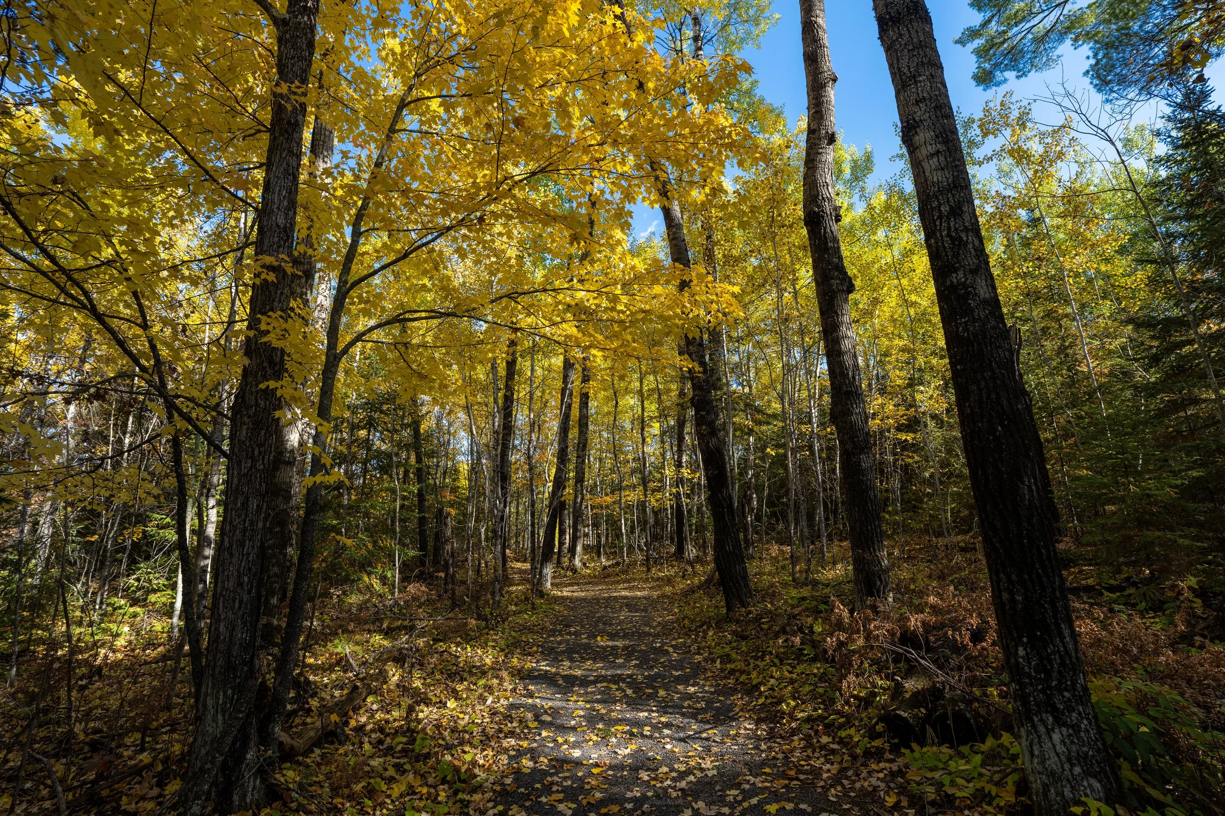
At the top of the short hill, the Black Bay Beaver Pond Trail levels out for the majority of the hike to the pond.
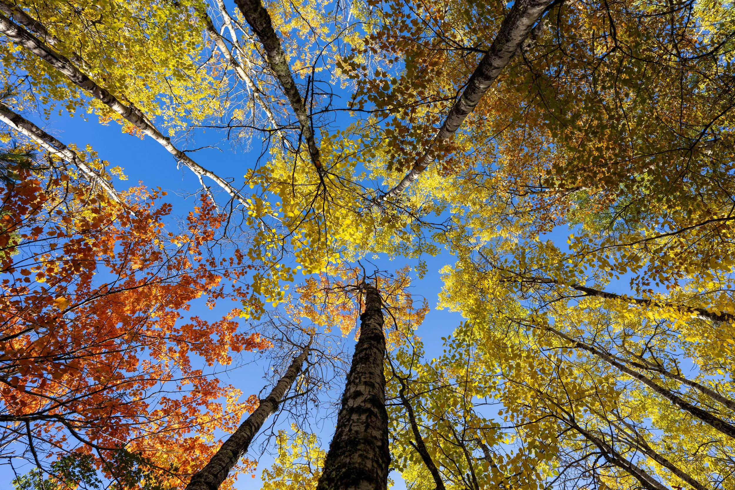
If you happen to be visiting Voyageurs during peak fall colors, the main deciduous trees that dominate the hike are the Northern Pin Oaks, which turn from green to orange and crimson red if you catch them at the right time!
Other than knowing how to access the Black Bay Trailhead, there isn’t much to know about the Black Bay Beaver Pond Trail, except that the bugs during the summer can be quite a nuisance!
This is why I always recommend carrying this cheap little bug net when visiting Voyageurs National Park during the warmer summer months, as preparing for the worst should be a priority if you plan to do any hiking or camping.
This is where the Black Bay Beaver Pond can be seen through the trees for the first time!
This short hill is where the Black Bay Beaver Pond Trail drops down to the edge of the pond at the very end of the hike.
Black Bay Beaver Pond
This is the end of the Black Bay Beaver Pond Trail.
That said, the National Park Service says there are hundreds of Beaver ponds across Voyageurs National Park, which support a population of roughly 3,000 Beavers!
What that hopefully says is that it’s generally not too difficult to spot them over a multi-day visit in the park, but it may take some patience if you plan to hang out at the end of the hike to look for them.
In my experience, I’ve often spotted them dragging a large branch across a pond or lake, which is fairly easy to see because a moving branch should look a bit out of place!
Paddling to the Unnamed Island
After hiking back, I recommend paddling over to the very small, unnamed island just offshore before heading back, as it only takes a few minutes to get out and see.
This is the easiest place to get in and out on the north side of the island.
This is the view looking back at the Black Bay Beaver Pond Trailhead from the island.
If you are interested in exploring more of Black Bay after the hike, Little American Island, just north of Dove Island, is the second-best place to paddle to nearby, located roughly 1.2 miles (1.9 km) from the Black Bay Beaver Pond Trailhead or roughly 1.9 miles (3.1 km) from the Rainy Lake Paddle Access shown at the beginning.