
Distance (via Either Trailhead): 3.1 miles / 5.0 km
The Blind Ash Bay Trail in Voyageurs National Park is an easy out-and-back day hike just up the hill from the Ash River Visitor Center that leads to two beautiful overlooks above Kabetogama Lake!
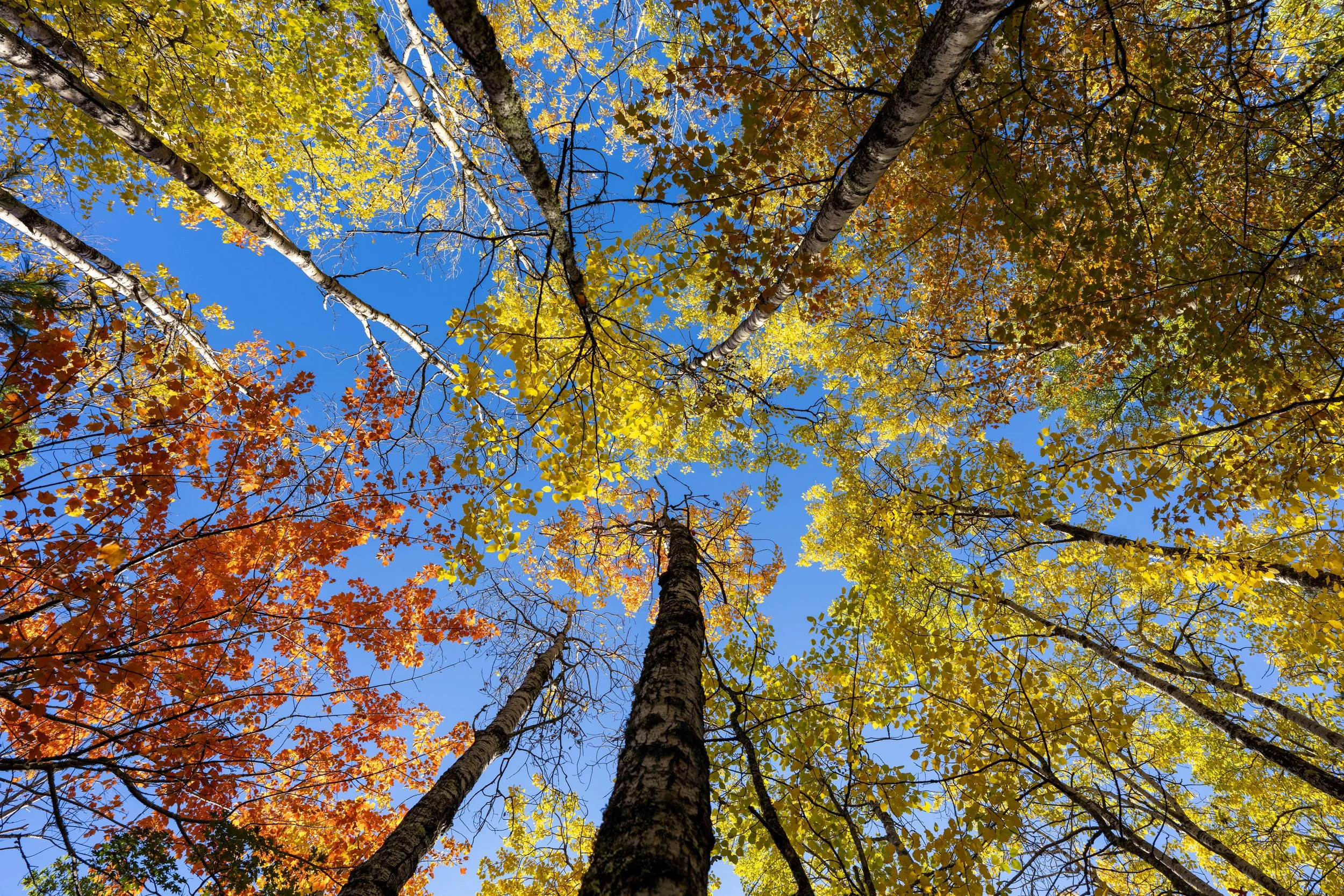
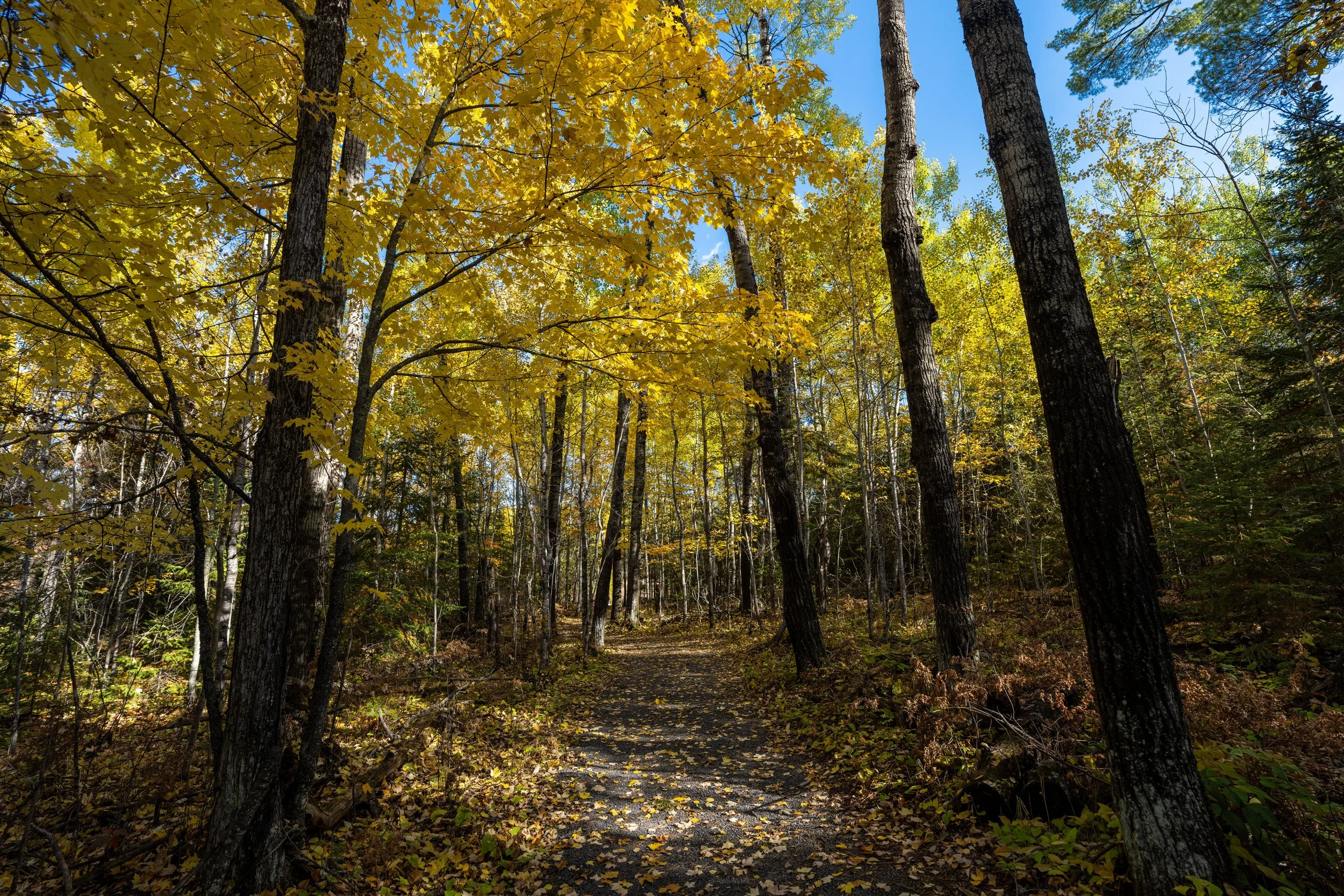
The hike traverses a mixed boreal–deciduous forest, meaning the Blind Ash Bay Trail has both long stands of Pine and beautiful fall colors scattered throughout during the peak around the beginning of October.
All that to say, I believe the Blind Ash Bay Trail is one of the better kid-friendly adventures in Voyageurs National Park, as it is neither too long nor too short, and it’s one that I personally think makes for a great hike first thing in the morning before exploring other areas off Mead Wood Road!
Blind Ash Bay Trailhead Parking
Parking for the Blind Ash Bay Trail is located in one of two places at the end of Mead Wood Road, as there is both an Upper and Lower Trailhead, with both routes coming together after just 0.2 miles (0.3 km).
That said, the Upper Blind Ash Bay Trailhead is located at the same parking area that serves the Kabetogama Lake Overlook, and the Lower Blind Ash Bay Trailhead is located in the overflow lot for trailers and large RVs, though passenger car parking can be found in one of the two lots surrounding the Ash River Visitor Center.
Google Maps Directions: Upper Blind Ash Bay Trailhead / Lower Blind Ash Bay Trailhead
Hiking Checklist - Voyageurs
Here is a complete list of must-have things that you will want for any hike in Voyageurs National Park.
Hiking the Blind Ash Bay Trail
Upper Blind Ash Bay Trailhead
The Blind Ash Bay Trail can begin from either the Upper or Lower Trailhead, but it is most common to begin from the Upper Trailhead, as it saves about 50 ft. (15 m) of elevation gain.
If you are interested in seeing the hike from the Lower Blind Ash Bay Trailhead, use the link below to skip ahead.
To skip ahead to the Lower Blind Ash Bay Trailhead, click here.
There are two paths that begin from the Upper Trailhead, and this is where they both come together.
That said, go straight (left) to continue hiking toward the Kabetogama Lake Overlook, shortly ahead.
This is where the Blind Ash Bay Trail from the Upper Trailhead passes the Kabetogama Lake Overlook on the right-hand side.
Kabetogama Lake Overlook
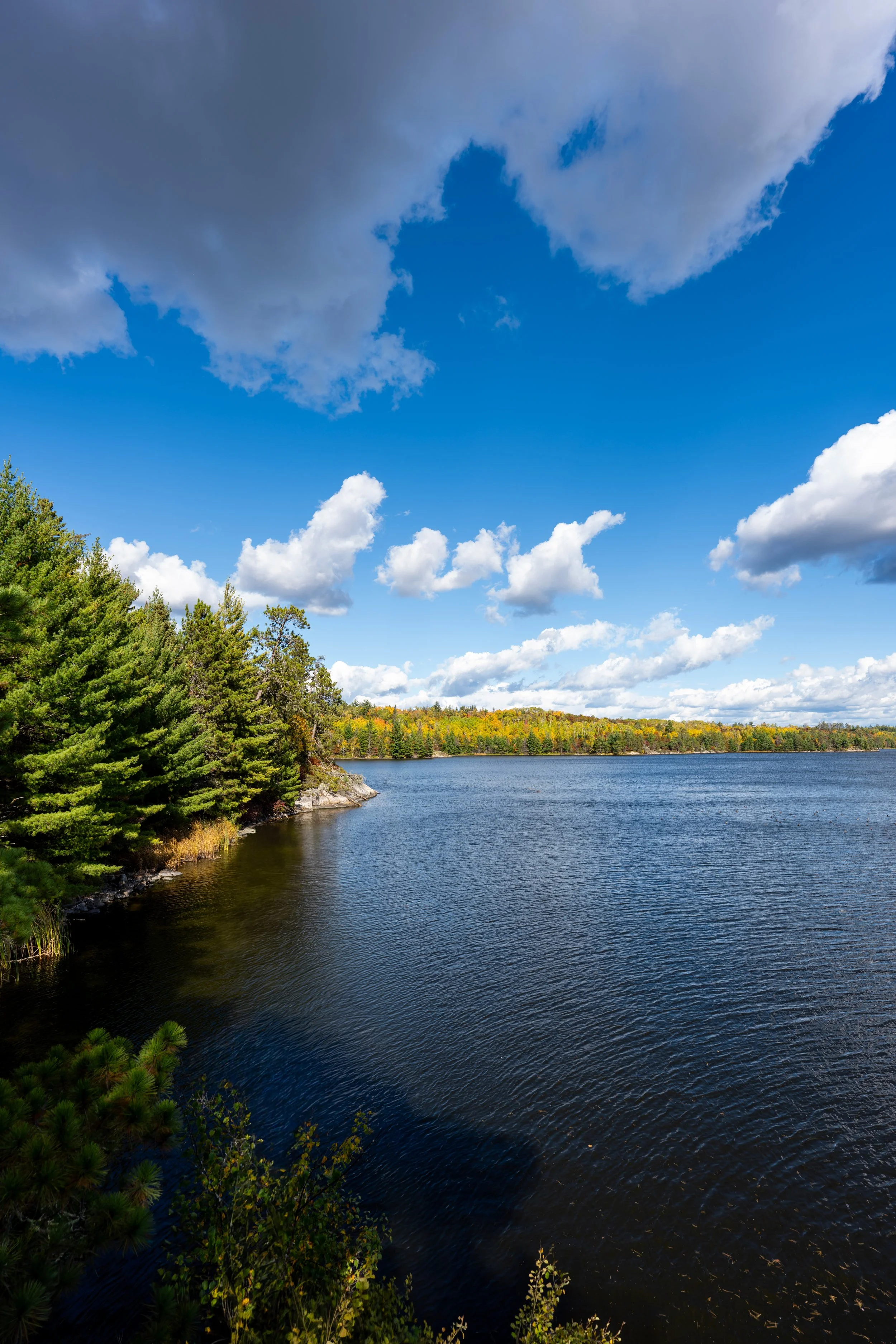
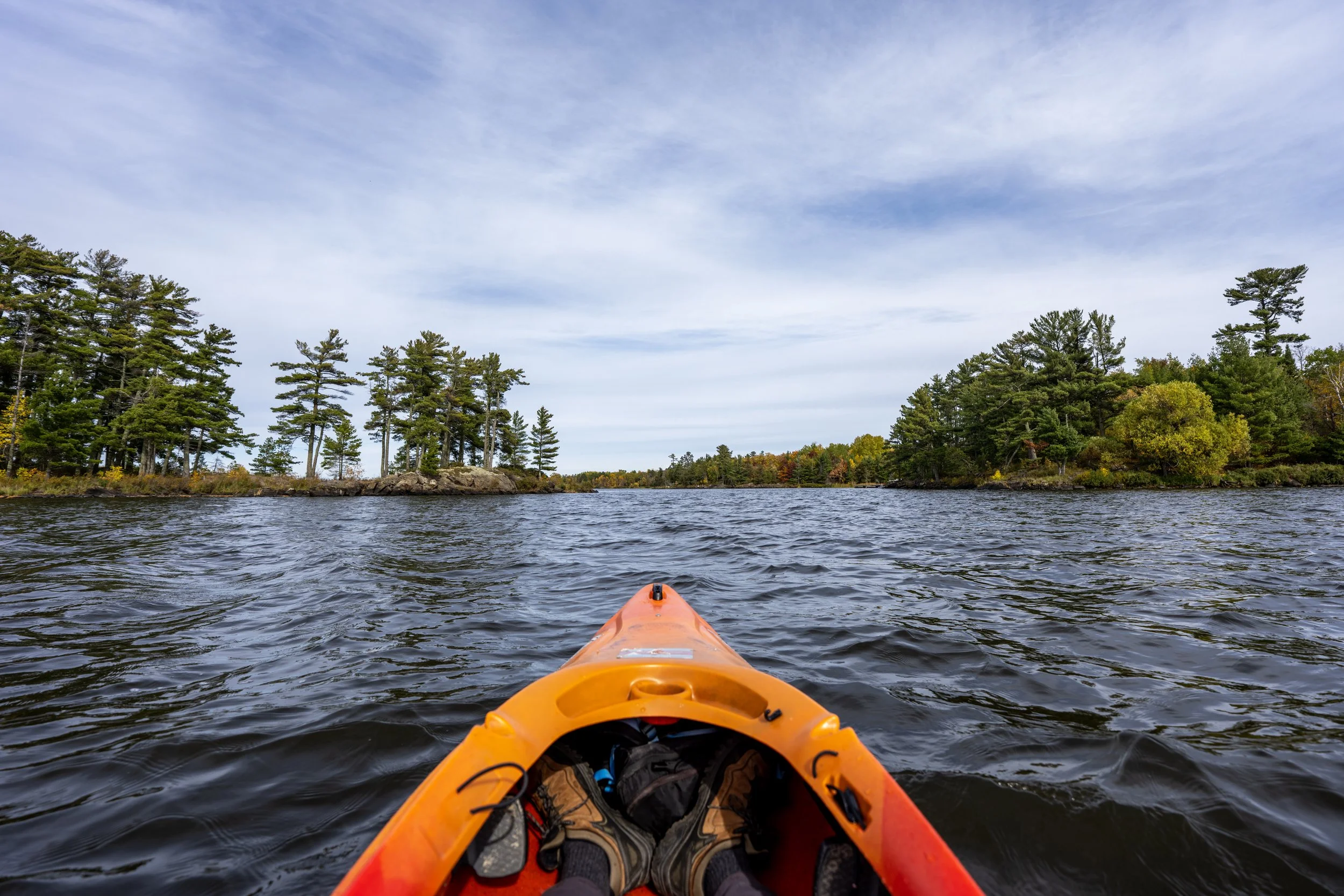
The Kabetogama Lake Overlook is the first of two viewpoints on the Blind Ash Bay Trail, and it’s a beautiful place to watch boats traveling the Kabetogama Narrows toward Blind Indian Narrows and Kettle Falls to the east, or back toward the larger part of the lake to the west.
Upper-Lower Blind Ash Bay Trailhead Junction
After just 0.2 miles (0.3 km), the Blind Ash Bay Trail from the Upper Trailhead meets the Blind Ash Bay Trail from the Lower Trailhead, closer to the Ash River Visitor Center.
Once here, go left when beginning the hike from the Upper Trailhead to continue west toward the second viewpoint.
After the two routes come together, the Blind Ash Bay Trail turns south toward the Ash River Visitor Center Maintenance Road, about 0.3 miles (0.5 km) away from this point.
The Blind Ash Bay Trail is certainly not the best hike for fall colors in Voyageurs National Park, but if you visit at the right time of year for both the colors and the bugs, there are always beautiful pockets scattered throughout any trail!
The bottom of this short hill is a nice sign that the Maintenance Road is not far ahead.
Ash River Visitor Center Maintenance Road
The Ash River Visitor Center Maintenance Road is located almost exactly 0.5 miles (0.8 km) from either trailhead, making it a nice mental checkpoint on the hike back.
Once on the far side of the Maintenance Road, the Blind Ash Bay Trail simply winds its way through the trees for roughly 0.8 miles (1.3 km) until it reaches the start of the loop on the far western end of the peninsula.
This is where the Blind Ash Bay Trail turns to the northwest after crossing the Maintenance Road.
It’s always fun playing around and taking different types of photos during peak fall colors!
On this cool fall morning, I surprisingly encountered the first Pine Marten I’ve ever seen!
If you don’t know, Pine Martens are incredibly elusive little predators across much of North America, but the interaction was so fast that I had no chance at capturing a photo.
Really, it jumped from out of nowhere, looked at me for about one second, and then took off, never to be seen again! The whole interaction was very cool, but at the same time, incredibly frustrating because I know it might be decades before I see one again!
How to Time the Best Colors in Voyageurs National Park?
If you’re wondering how to time the fall colors in Voyageurs National Park, a general rule of thumb is the last week of September and the first week of October, with a few days on either side of October 1st typically being the best for Maples.
That said, this really is just an average, and to know for sure, I recommend checking the national fall foliage map linked below—remembering that trackers for northern Minnesota are typically based on Aspens, not the Maples, which turn earlier.
Explore Fall: Fall Foliage Map
I think it’s important to mention that, regardless of the trail’s proximity to the road or the Ash River Visitor Center, it’s not uncommon to come across Black Bears on the hike. You can read reports simply by looking at the reviews on AllTrails.
With that in mind, it is illegal to fly with bear spray if you’re getting to the park by way of Minneapolis, Duluth, or International Falls. However, if you are driving to Voyageurs National Park, I recommend buying it in advance to save money.
It’s hard not to love all the beautiful Birch trees in early October during peak season for fall colors!
This short hill is a nice sign that the start of the loop on the western end of the Blind Ash Bay Trail is just 0.2 miles (0.3 km) away.
The Blind Ash Bay Trail is not known to be the worst day hike in terms of biting Deer and Black Flies during the summer months, but if you are visiting during this time, I always say, don’t try to play it tough!
Buy this cheap little bug net and keep it in your pocket because you never know when and where you’ll want to use it!
Blind Ash Bay Loop Trail
After 1.3 miles (2.1 km) from either trailhead, the Blind Ash Bay Trail reaches the loop at the far western end.
Once here, I don’t believe it makes much of a difference which direction you decide to go in terms of enjoying the hike, but on this day, I chose to go left in the clockwise direction around the roughly 0.4-mile (0.6 km) loop.
After just 0.1 miles (0.2 km) on the loop in the clockwise direction, the trail makes a hard, inconspicuous left turn, even though the photo below makes it look like the path continues straight, causing many hikers to overshoot the turn before figuring out the correct route.
This is what the trail looks like immediately after the hard left turn in the photo above.
Shortly after the hidden turn, the southern half of the loop begins paralleling Blind Ash Bay, just before climbing up to the second overlook at the westernmost point.
This is the view looking southwest across Blind Ash Bay.
This is where the Blind Ash Bay Trail begins climbing up and away from the shoreline to the second overlook, gaining roughly 100 ft. (30.5 m) to the highest point just after the viewpoint.
Blind Ash Bay Overlook
At the very far western end of the loop, the Blind Ash Bay Trail reaches the second overlook, this time facing west toward the mouth of Blind Ash Bay and the Twin Islands off in the distance.
From here, the loop turns east to start the hike back toward the initial split, about 0.25 miles (0.4 km) away from this point.
Blind Ash Bay Loop Junction
This is where the Blind Ash Bay Trail completes the 0.4-mile (0.6 km) loop on the far western end of the peninsula.
That said, go left at this junction to return to either trailhead near the Ash River Visitor Center.
Lower Blind Ash Bay Trailhead
This is the Lower Blind Ash Bay Trailhead, which begins in the overflow lot for trailers and large vehicles near the Ash River Visitor Center.
Immediately after beginning the hike from the Lower Trailhead, the Blind Ash Bay Trail begins climbing to the junction where the two routes meet.
This ascent gains roughly 50 ft. (15 m), which isn’t the worst, but it can be avoided by simply parking up the hill.
This is where the Blind Ash Bay Trail mostly levels out after the steepest part of the climb from the Lower Trailhead.
Upper-Lower Blind Ash Bay Trailhead Junction
After just 0.2 miles (0.3 km), both routes from the Upper and Lower Blind Ash Bay Trailheads come together.
From this point, go straight (right) to continue west on the trail, but since the route from the Lower Trailhead misses the Kabetogama Lake Overlook, I recommend going left first to check out the first overlook, just around the corner.
To skip back to this same junction shown previously, click here.