Hiking the Notch Trail in Badlands National Park
Distance: 1.5 miles / 2.4 km
The Notch Trail in Badlands National Park is a short, fun day hike near Cedar Pass that leads hikers up a typically dry creek to the infamous Notch Ladder, where the trail then traverses a number of narrow cliff ledges as it makes its way farther up Notch Creek to a beautiful south-facing overlook above the Cliff Shelf Nature Trail.
That said, when most people think of the Notch Trail, the rickety ladder is the one thing that comes to mind, which can most similarly be compared with adventures like the Beehive Trail in Acadia National Park or The Cables on the Half Dome Trail in Yosemite National Park.
Now, I say this knowing that the ladders and The Cables on each are quite different, but they all have two things in common: they are very popular day hikes, and these short sections all act as bottlenecks on each of these respective trails.
As for the Notch Trail specifically, it is the single-most popular day hike in Badlands National Park, which is why I highly recommend hiking the trail early in the morning—especially during the busy summer travel season!
Notch Trailhead Parking
Parking for the Notch Trail is located in a large, paved parking lot that not only serves the Notch Trailhead but also the Window Trail, the Door Trail, and the Castle Trail.
For this reason, this parking lot near Cedar Pass is the largest in Badlands National Park, as it is the busiest joint trailhead in the park.
Google Maps Directions: Notch Trailhead
Hiking Checklist - Badlands
Here is a complete list of must-have things that you will want for any hike in Badlands National Park.
Hiking the Notch Trail
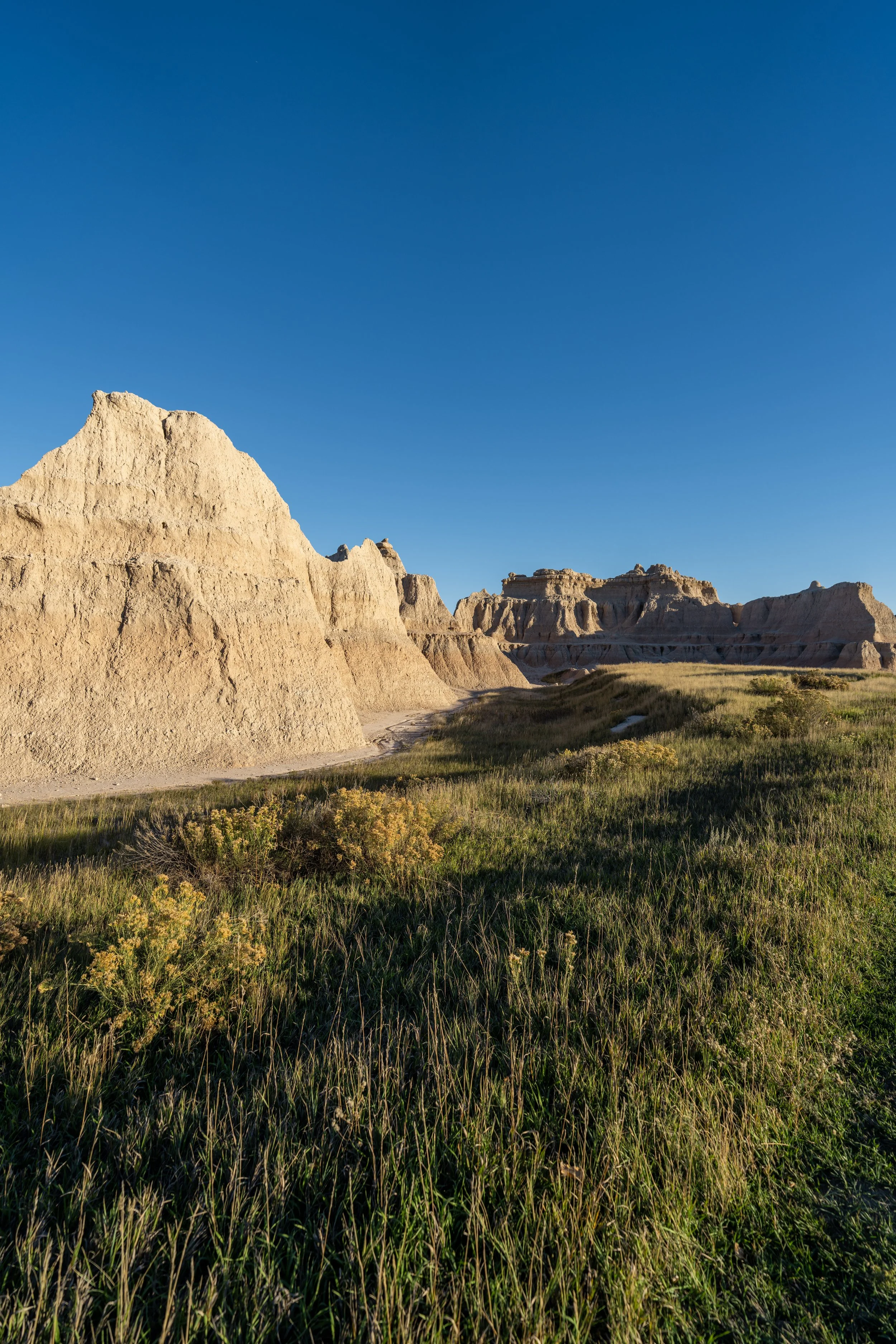
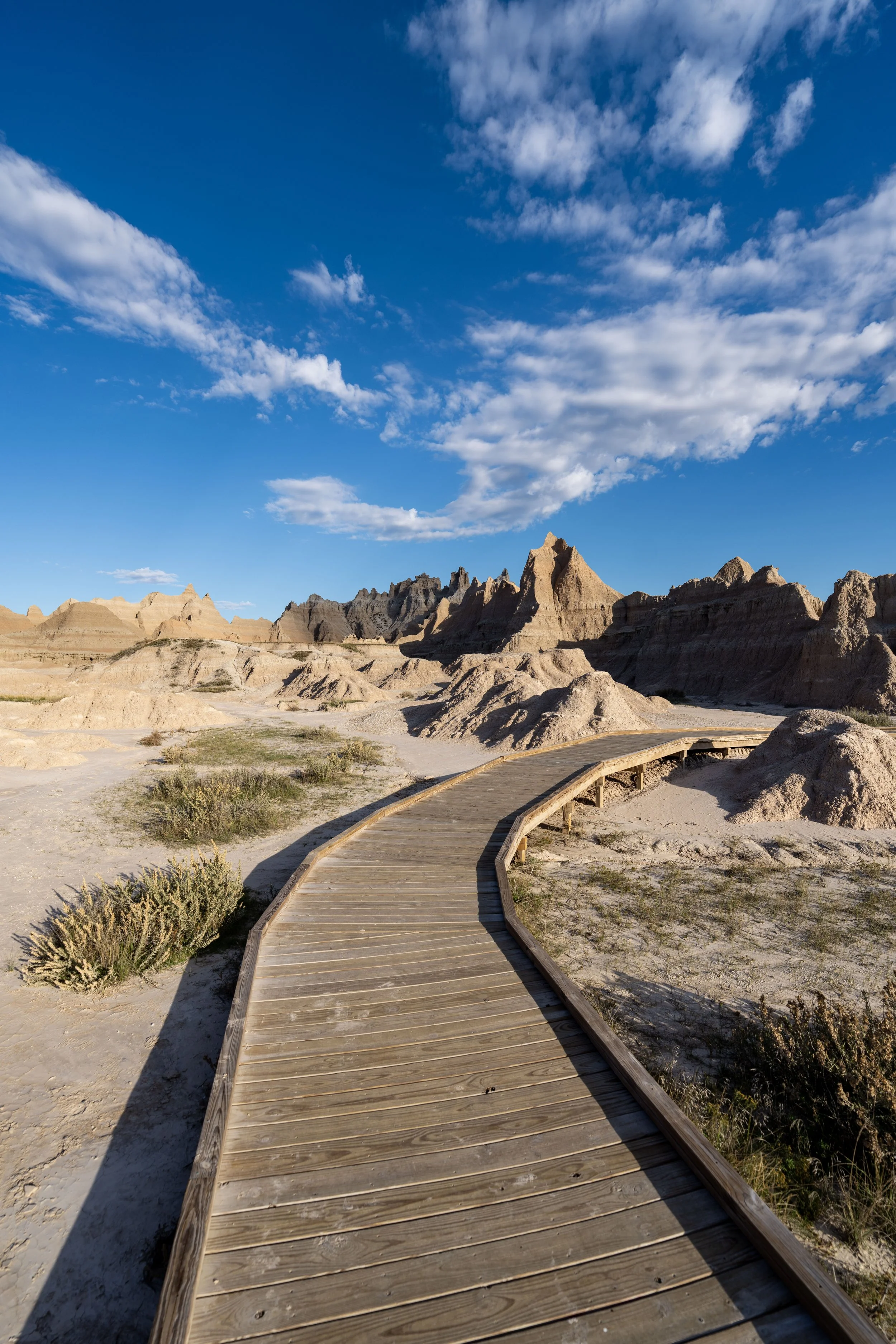
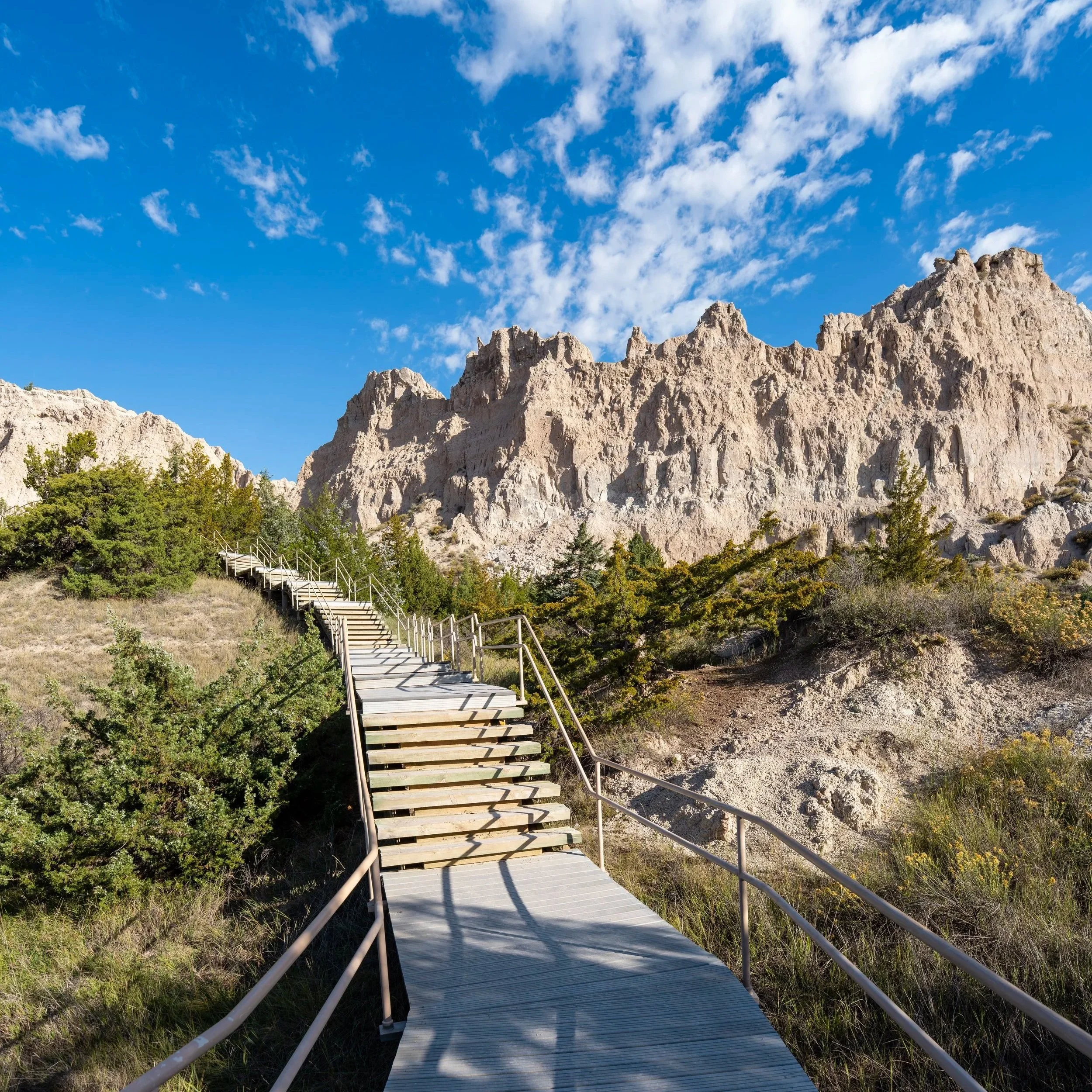
The Notch Trail begins on a very flat, wide-open path as it approaches Millard Ridge and the most fun sections that lie within the Notch Creek drainage.
This is where the Notch Trail more noticeably begins to follow Notch Creek—a typically dry creek bed outside periods of very wet weather, as well as seasonal snowmelt in the spring.
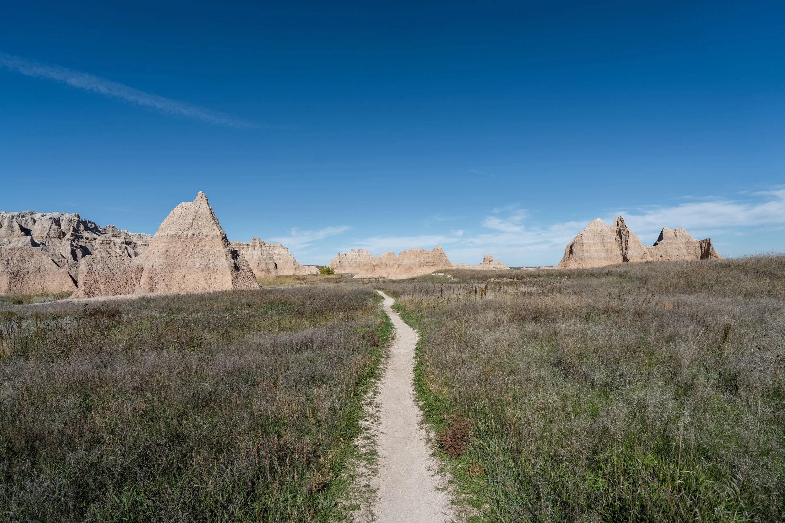
The one thing I hope these photos show more than anything else is that there is very little shade on the Notch Trail, which is true for just about every day hike in Badlands National Park.
This is why I highly recommend traveling to the park with a hooded sun shirt, which will certainly be useful on other adventures within the Badlands, as well as those within the Black Hills and Wind Cave National Park.
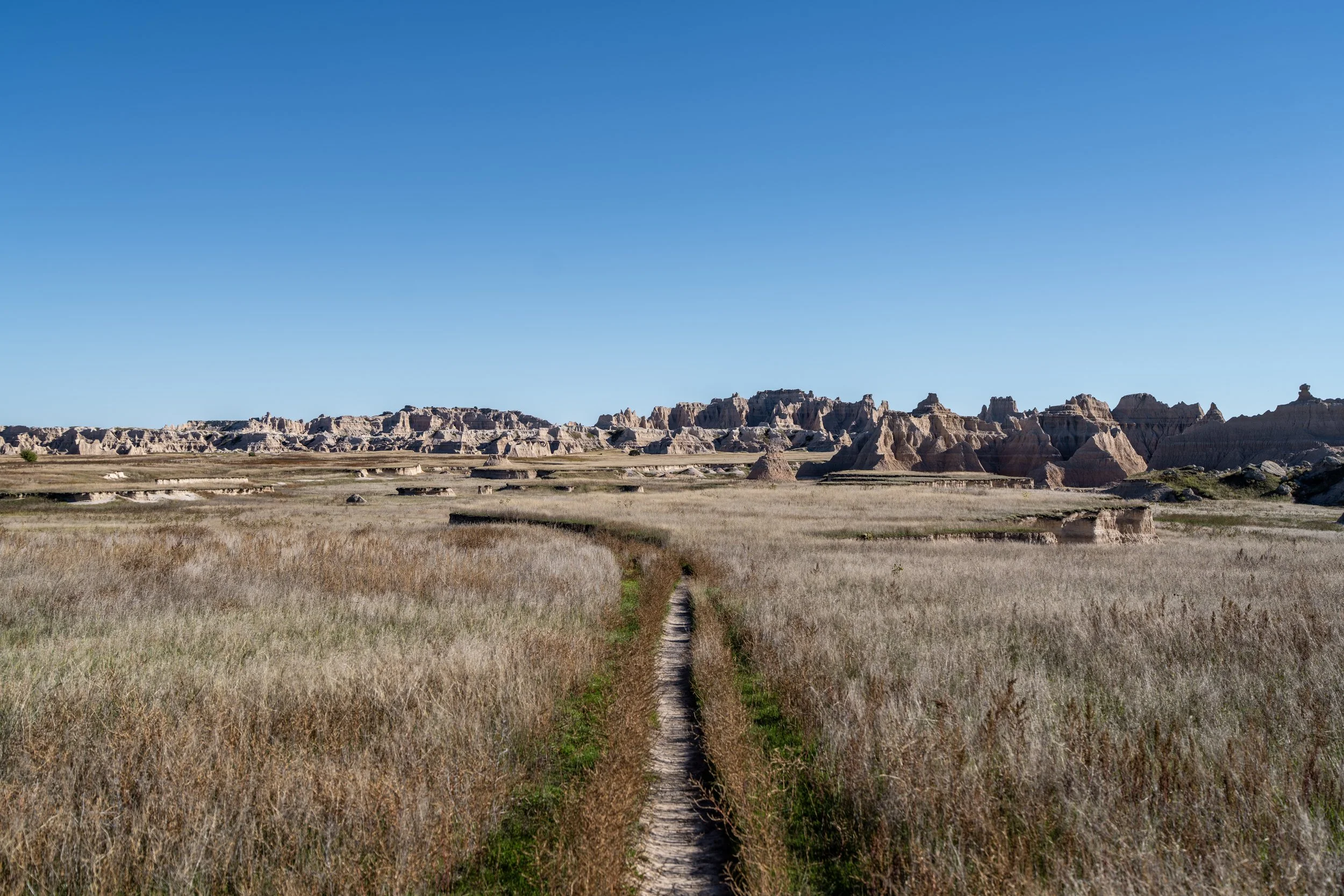
At this split, it doesn’t matter which direction you choose to follow, as both sides meet again on the other side of this hill.
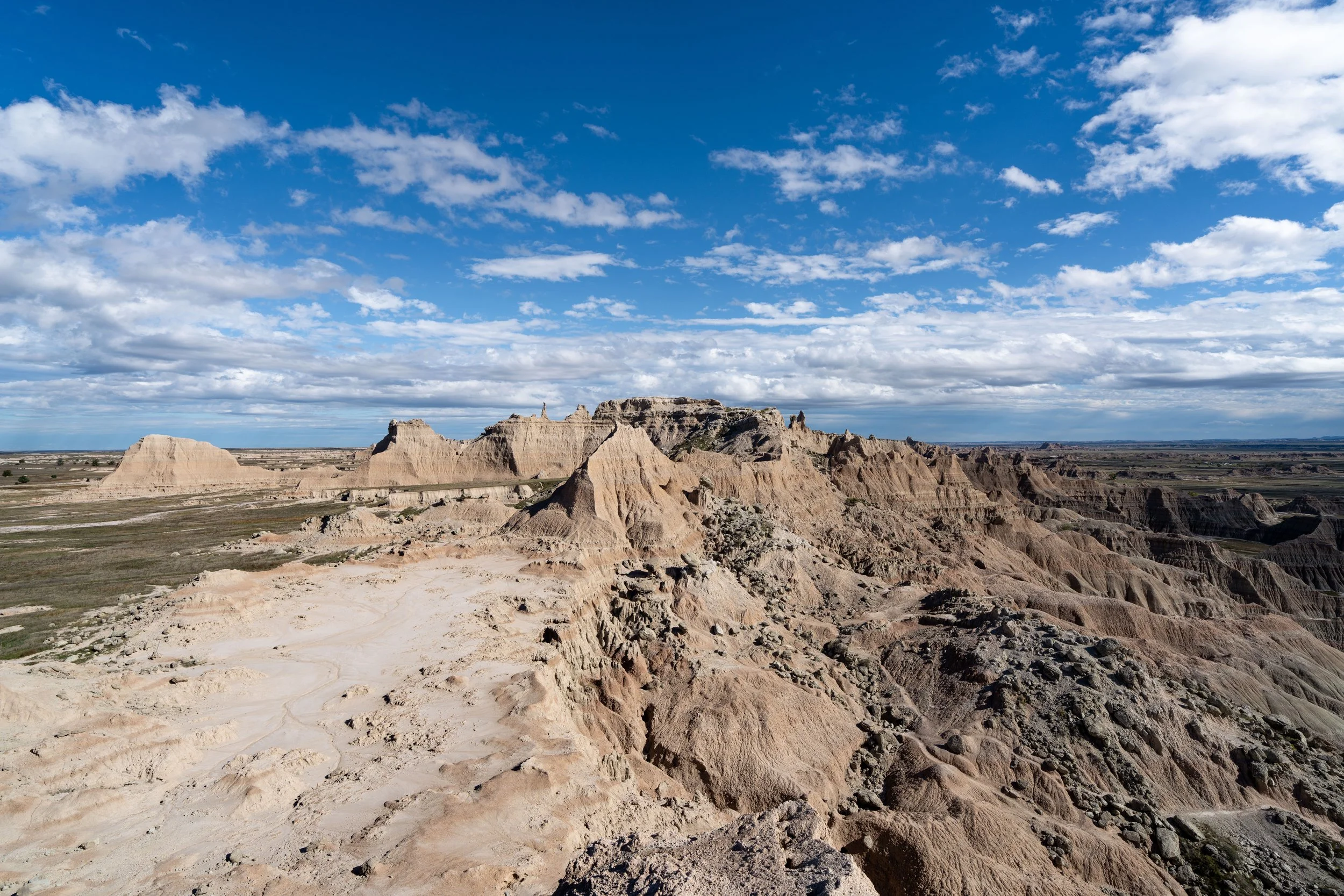
As the walls around Notch Creek close in on either side, the infamous Notch Ladder is but a few steps ahead!
Notch Ladder
This is the Notch Ladder, which is easily the most well-known stretch of trail in all of Badlands National Park.
That said, the ladder is a short but steep 56-step climb that ascends about 35 ft. (11 m) from bottom to top.
These upper rungs on the ladder are less stable than the ones near the bottom, as they are not in constant contact with the ground.
This is what typically creates a backup on the busiest days in Badlands National Park.
This is the view looking back down from the top of the Notch Ladder.
After the ladder, the Notch Trail traverses a few narrow ledges along the cliffs of Notch Creek, but these sections only last a little more than 0.1 miles (0.2 km) before the trail becomes much more like the beginning sections.
These are some of the narrowest sections on the Notch Trail, with a view looking back toward the bottom of the drainage and the ladder on the left-hand side.
If you are visiting Badlands National Park during the cooler off-season months, micro-spikes may be necessary to traverse these narrow ledges safely—especially during the spring, when snow is melting during the day and refreezing overnight.
At this final narrow section, go right to hike up and over the ledge straight ahead.
After the ledge mentioned above, the Notch Trail becomes much easier and much less exposed, which continues like this to the viewpoint at the very end.
For those who may be familiar, the Notch Trail is strikingly similar to the Desolation Canyon Trail in Death Valley National Park—especially if you decide to explore further up the drainage after the official viewpoint at the end.
Notch-Notch Creek Junction
At this split, go right to continue hiking up the official Notch Trail.
However, if you are curious about what’s up the rest of Notch Creek, keep reading to the end, where I show all three of the most popular routes up the drainage.
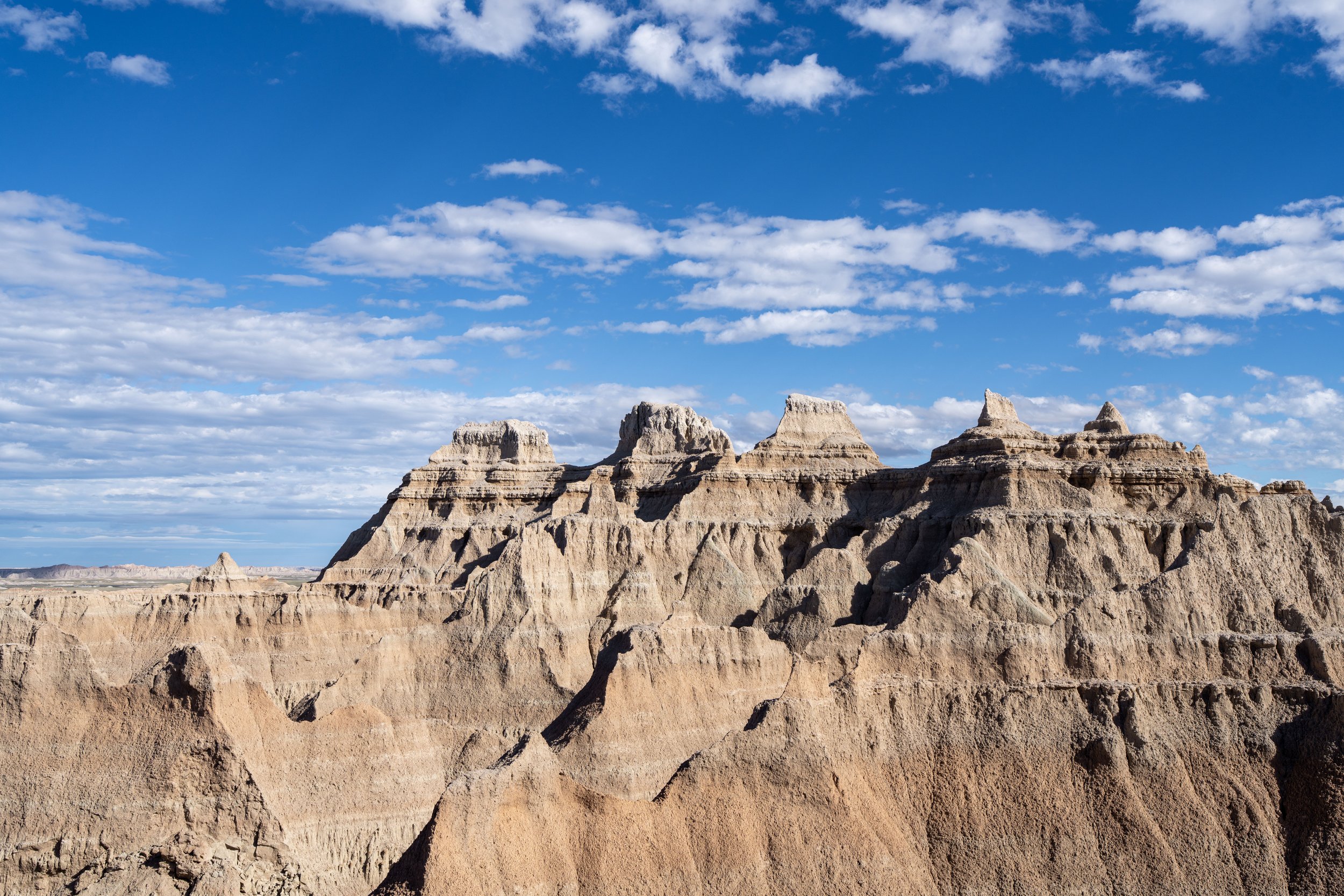
The Notch
This south-facing viewpoint above the Cliff Shelf Trail marks the end of the Notch Trail.
That said, Badlands National Park has an open-hiking policy, meaning it is completely legal to explore farther up the Notch Creek drainage if you are interested!
Notch-Notch Creek Junction
To hike the remaining 0.25 miles (0.4 km) up the three most popular routes up Notch Creek, go left at the junction previously shown, or right when hiking down from The Notch above the Cliff Shelf Nature Trail.
At the uppermost reaches of Notch Creek, there are three common routes that visitors often venture up, with the first being the shade gulch straight ahead in the photo below.
However, what this photo doesn’t show well is that this is also where the creek splits, with the other two routes located out of view to the right.
This is essentially where the first short side trail along Millard Ridge comes to an end.
Immediately after turning away from Millard Ridge to the right, Notch Creek splits again. These are the final two routes previously mentioned.
That said, both routes lead to very similar viewpoints above the Cliff Shelf Loop Trail, which are both shown below.
This is the left fork heading up the uppermost reaches of Notch Creek.
This is the first viewpoint up the left fork above the Cliff Shelf Nature Trail.
This is the right fork heading up the uppermost reaches of Notch Creek.
This is the second viewpoint up the right fork above the Cliff Shelf Nature Trail.