Hiking the Medicine Root Loop Trail in Badlands National Park
Distance: 4.1 miles / 6.6 km
The Medicine Root Loop Trail in Badlands National Park is an easy, mostly flat hike on the upper Badlands Wall that combines both the Castle Trail and the Medicine Root Trail to create the Medicine Root Loop Trail.
That said, the loop traverses long stretches of wide-open prairie, with a number of notable Badland formations scattered throughout, all of which come together to make the Medicine Root Loop Trail a very easy hike by terrain standards.
However, the Medicine Root Loop is often much more challenging during the hot summer months, on account of there being essentially no shade on the entire hike. This is why, if you happen to be visiting anytime from June–August, I highly recommend a very early morning or late evening start—especially if you plan to begin at the Millard Ridge Trailhead (East Castle Trailhead), which is a very common way to combine the best of both trails.
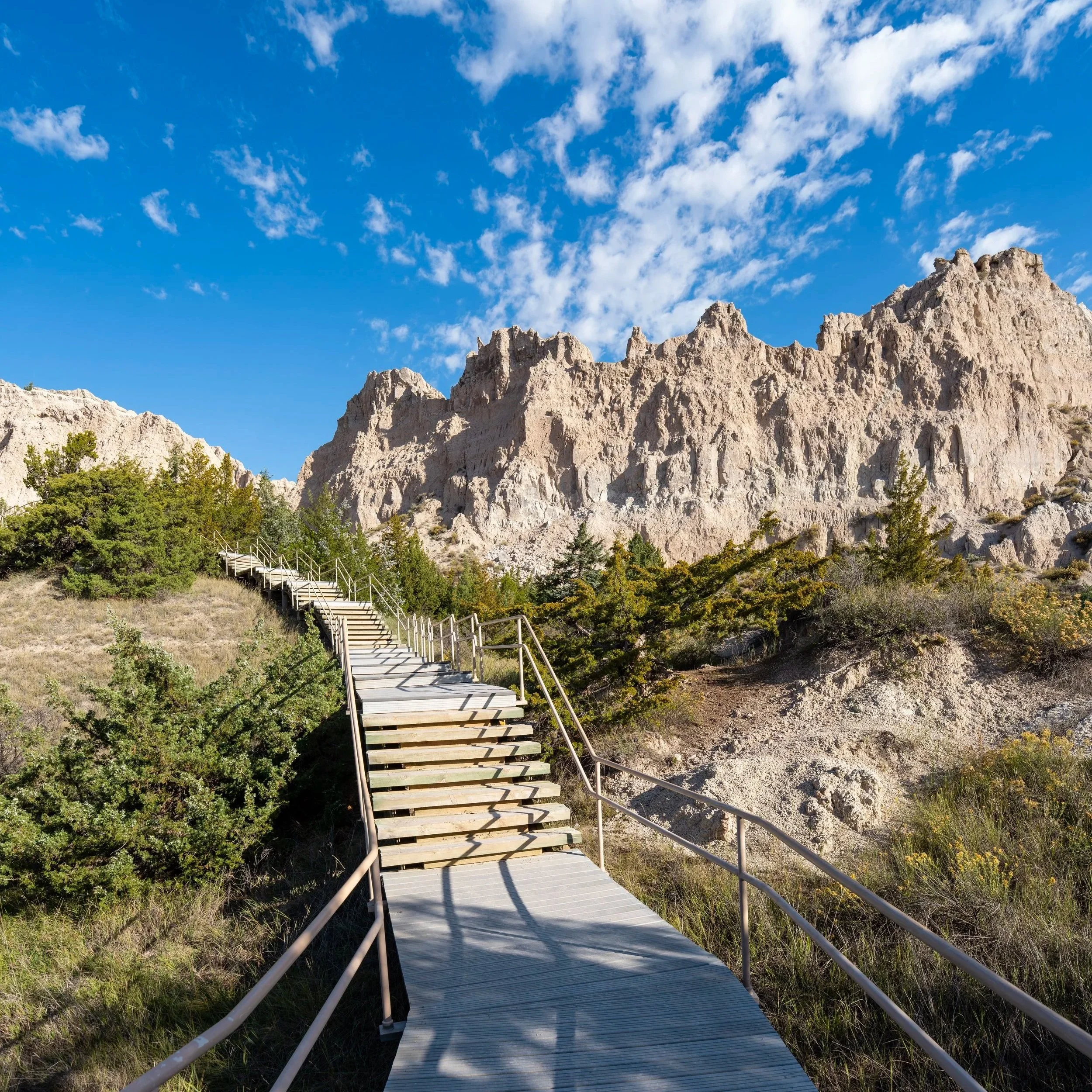
Medicine Root Loop Trailhead Parking
Parking for the Medicine Root Loop Trail is located directly alongside Old Northeast Road, about 0.6 miles (1.0 km) north of Badlands Loop Road.
This is the same place the Castle Trail crosses Old Northeast Road.
Google Maps Directions: Medicine Root Loop Trailhead
Hiking Checklist - Badlands
Here is a complete list of must-have things that you will want for any hike in Badlands National Park.
Hiking the Medicine Root Loop Trail
The Medicine Root Loop Trail begins on the west side of Old Northeast Road, where the trail reaches the start of the loop less than 0.1 miles (0.2 km) into the hike.
To skip ahead to the Saddle Pass junction on the western end of the loop, click here.
Medicine Root Loop-Castle Junction
After just a few steps, the Medicine Root Loop begins, with both sides meeting again at the Saddle Pass junction on the west side of the loop.
That said, the Castle Trail—the southern half of the Medicine Root Loop—is only 1.8 miles (2.9 km) from this point to the Saddle Pass junction, while the Medicine Root Trail, the northern half of the Medicine Root Loop, is roughly 2.2 miles (3.5 km) to the same junction.
All that to say, I don’t believe it makes any difference which direction you decide to begin the loop, but in this post, I chose to go left on the Castle Trail first, the southern half of the Medicine Root Loop.
Read My Separate Post: Castle Trail
On the south side of the Medicine Root Loop, the Castle Trail heads south toward the Badlands Wall, beginning the wide-open portions of the hike across the prairie.
This is the last time the Medicine Root Loop Trail will see these power lines until the return hike, which are a really nice mental indicator that the trail is getting close to Old Northeast Road again.
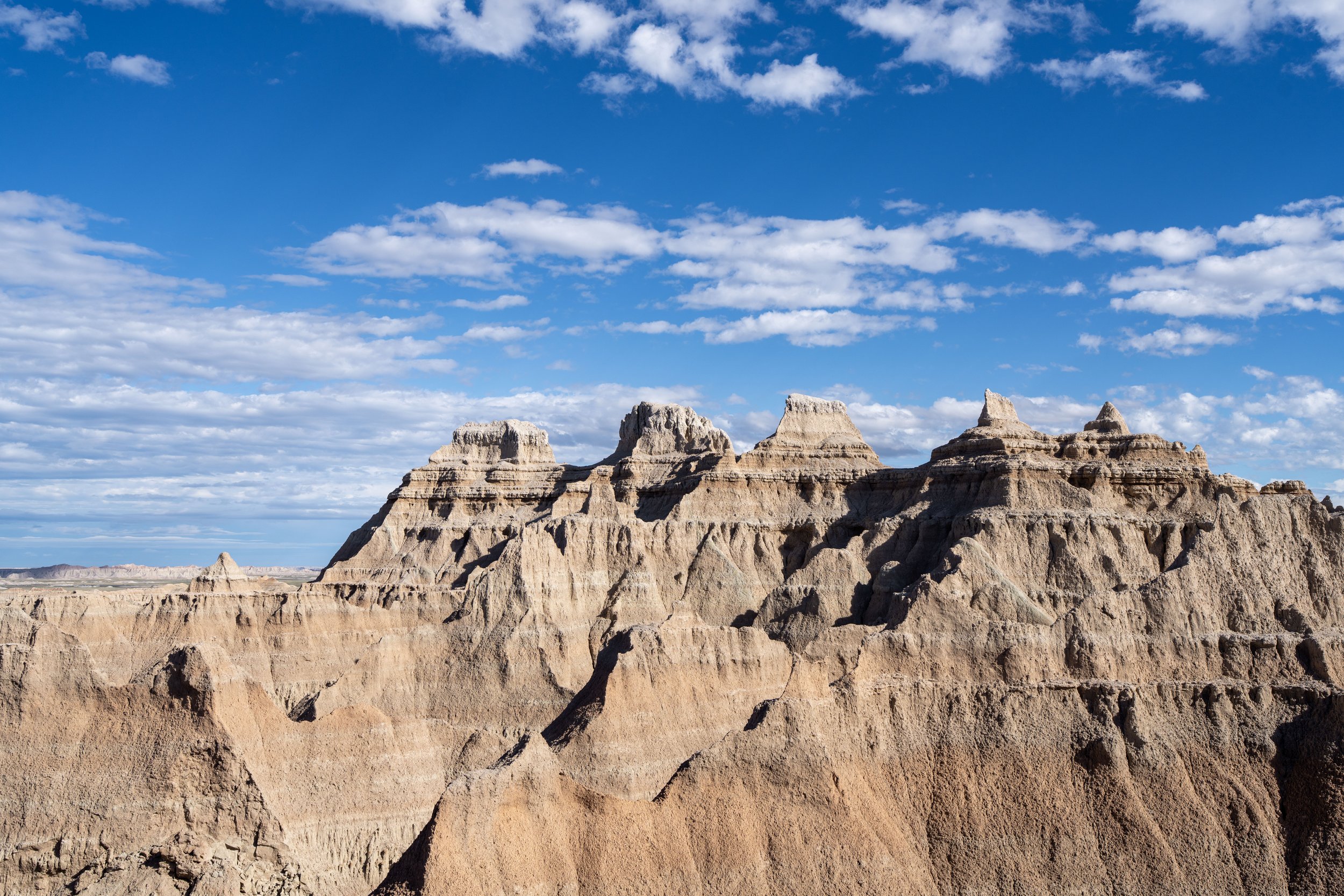
Badlands Wall
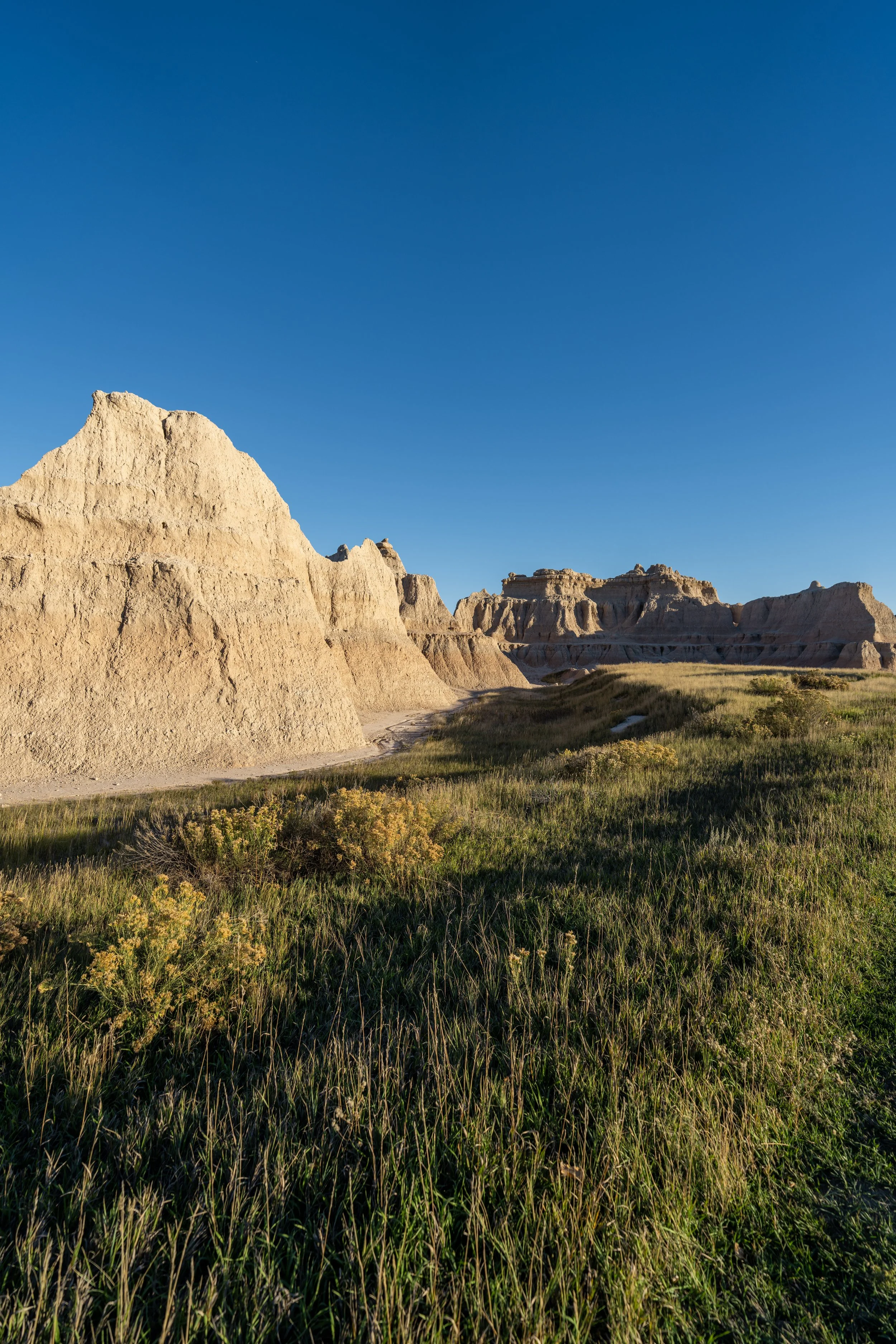
When the Medicine Root Loop Trail turns to the west, the southern half of the loop will have reached the edge of the Badlands Wall, the natural escarpment that forms dramatic cliffs and Badland terrain where the higher prairie meets the lower prairie.
However, on these sections of the loop, the Wall is hardly noticeable or as dramatic as the many side-of-the-road viewpoints scattered along Badlands Loop Road, but if you plan to hike as far as the Fossil Exhibit Trail, it becomes more noticeable toward the western terminus of the Castle Trail.
Natural shade is very sparse on the Medicine Root Loop Trail, apart from a few sporadic Cottonwood trees on the northern 'half' of the loop.
For this reason, I could not recommend hiking in a hooded sun shirt more, which will certainly be useful on other adventures within the Badlands, as well as those within the Black Hills and Wind Cave National Park.
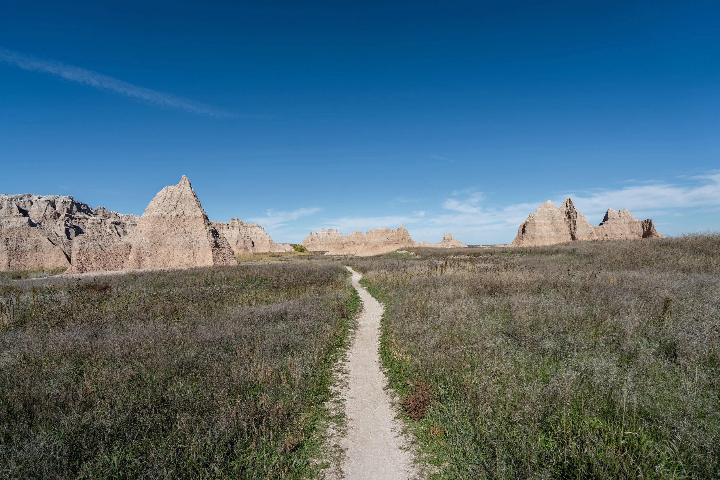
The Saddle Pass Trail is not directly beyond the next formations in the distance.
Instead, the Medicine Root Loop Trail must navigate around the next two ridges that extend to the north before Saddle Pass can be seen on the other side.
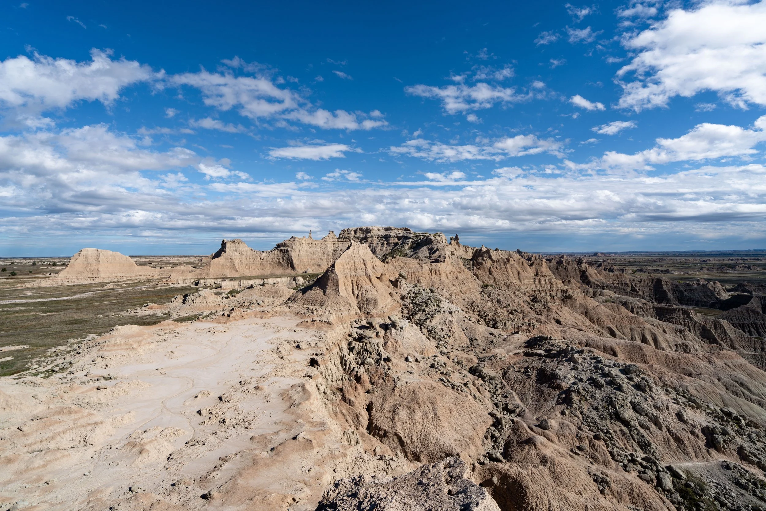
This is roughly the halfway point between the start of the Medicine Root Loop and the Saddle Pass Trail ahead.
The Badland formations in the distance is where the Medicine Root Trail curves around the first of the two ridgelines before Saddle Pass.
This is where hikers can see the second unnamed ridge the Medicine Root Trail must curve around before reaching Saddle Pass, which is the most prominent Badland formation on the left-hand side of the photo below.
This sharp turn to the south is a nice sign that the Saddle Pass Trail is only about 0.4 miles (0.6 km) ahead.
This is where the Medicine Root Loop Trail curves around the second ridge, which is exactly where Saddle Pass can be seen in the distance for the first time!
Medicine Root Loop-Castle-Saddle Pass Junction
After 1.8 miles (2.9 km), the Castle Trail portion finally meets the Saddle Pass Trail and the far western end of the Medicine Root Loop Trail.
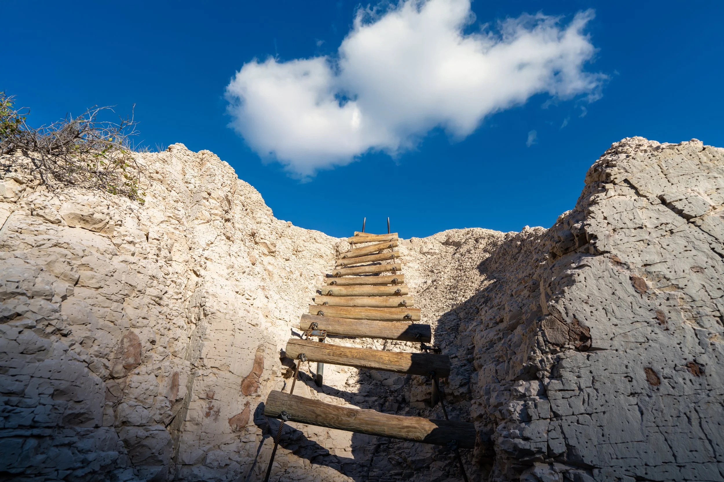
Once here, go right to continue hiking the Medicine Root Loop Trail, or, if you had planned a ride via the Saddle Pass Trailhead, go left to hike down to Badlands Loop Road, about 0.4 miles (0.6 km) away.
Read My Separate Posts: Castle Trail / Saddle Pass Trail
This is where the Medicine Root Loop Trail starts heading north from Saddle Pass, beginning the roughly 2.2-mile (3.5 km) northern 'half' of the hike back to the beginning.
This is where the Medicine Root Loop Trail starts turning northeast toward the northernmost portions of the hike.
What Does the Name Medicine Root Mean?
The name 'Medicine Root' isn’t random by any means.
Rather, it’s a common place name derived from the medicinal properties of a native flower known as Purple Coneflower, or Echinacea angustifolia, from which Native Americans would make juice from the black roots to apply to wounds and burns.
Today, Purple Coneflower can be found growing throughout Badlands National Park, with peak bloom in the late spring and early summer months—not fall, as when these photos were taken.
Once again, I cannot stress the importance of wearing a hooded sun shirt on the Medicine Root Trail—especially if you plan to begin the hike from the East Castle Trailhead.
The Cottonwood trees in the distance mark one of the very few places on the Medicine Root Loop Trail where hikers can find shade on the hike.
This again is why it’s important to avoid hiking the loop during the midday hours in the summer, as well as why it’s important to carry plenty of water—especially if you also plan to hike parts of the Castle Trail or begin from the Saddle Pass Trailhead.
This is the northernmost point on the Medicine Root Loop Trail, meaning there is roughly 1.0 mile (1.6 km) left to return to the original junction with the Castle Trail.
When the Medicine Root Loop reaches this flat section of open prairie, the trail continues across a relatively featureless stretch for roughly the next 0.6 miles (1.0 km) until it reaches the same power lines from the very beginning of the loop.
This is the Prairie Sunflower, which is closely related to the Common Sunflower grown for commercial purposes across the Dakotas.
For those hiking back to the East Castle Trailhead after completing the Medicine Root Loop Trail, the ridgeline straight ahead in the distance is where the Castle Trail curves around to the left to begin what I see as the most beautiful portions of the entire 5.2-mile (8.4 km), one-way hike.
When the Medicine Root Loop returns to the same power lines from the beginning, the trail makes an abrupt turn to the south, which is a nice sign that there are only 0.25 miles (0.4 km) left until the loop meets the Castle Trail again.
Medicine Root Loop-Castle Junction
This is where the Medicine Root Loop Trail returns to the beginning, with the trailhead off Old Northeast Road just a short distance ahead.
That said, go left to return to the beginning, as well as to the bridge where the Castle Trail continues on the other side of the gravel road.
Read My Separate Post: Castle Trail