Hiking the Murphy Point Trail in Canyonlands National Park
Distance: 3.4 miles / 5.5 km
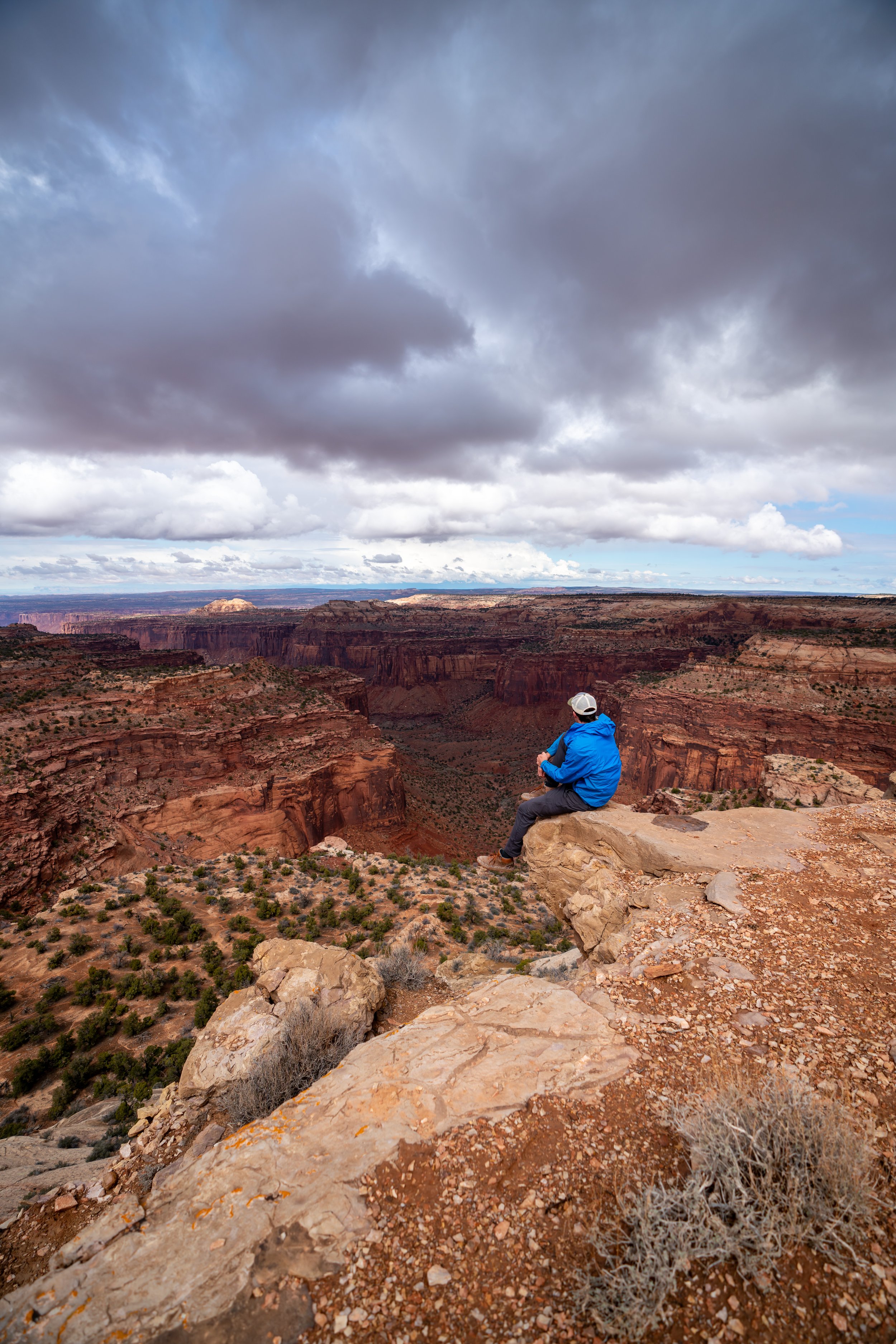
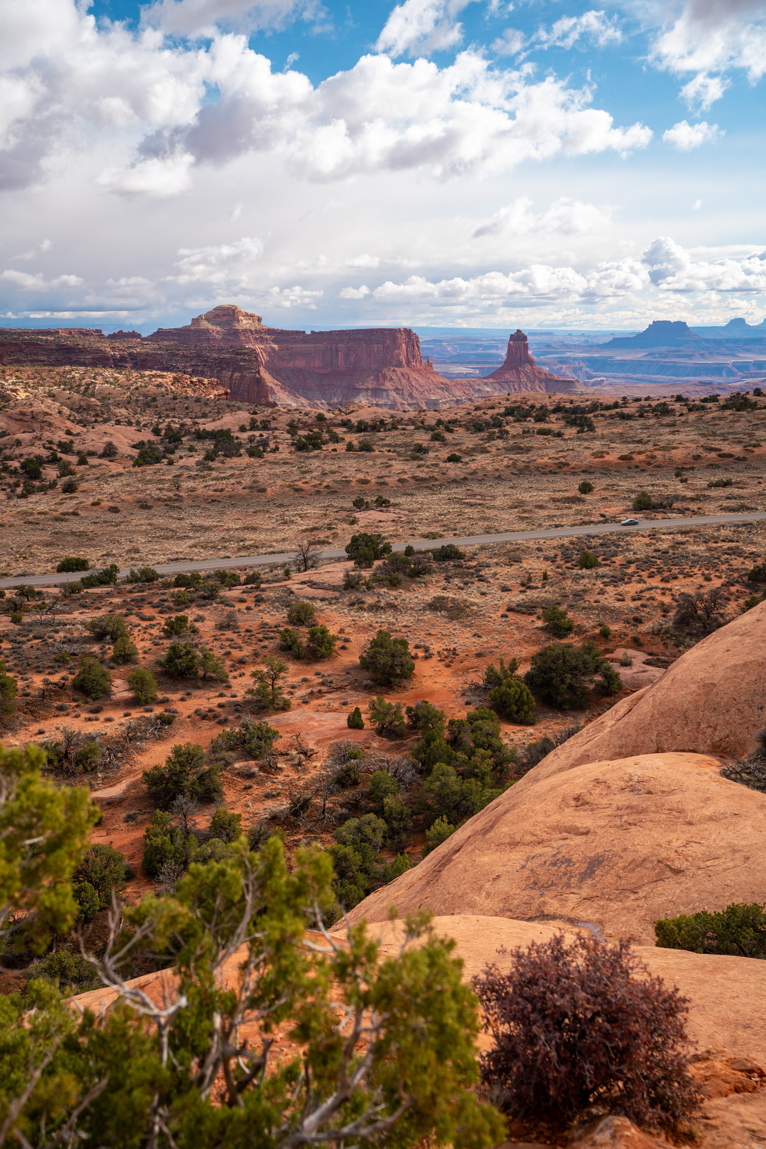
The Murphy Point Trail in Canyonlands National Park is an easy, mostly flat out-and-back day hike, much like the Grand View Point and the White Rim Overlook Trail, that leads to a stunning, dramatic west-facing viewpoint on the edge of the Island in the Sky!
That said, the Murphy Point Trail is the longest of these three adventures in the Island in the Sky District, but it should not be considered a challenging hike, as there is only about 150 ft. (46 m) of elevation change from the trailhead to Murphy Point at the end!
This is why I believe the Murphy Point Trail is one of the best sunset hikes in Canyonlands National Park, but if I were trying to recommend it over the Grand View Point further down Island in the Sky Road, I feel I’d be splitting hairs between the two!
Murphy Point Trailhead Parking
Parking for the Murphy Point Trailhead is located directly off of Island in the Sky Road, about 8.7 miles (14 km) past the visitor center on the right-hand side of the road.
In my experience, the Murphy Trailhead is generally not as busy as others nearby, even at sunset, which is generally regarded as one of the best times to do the hike!
Google Maps Directions: Murphy Point Trailhead
Hiking Checklist - Canyonlands
Here is a complete list of must-have things that you will want for any hike in Canyonlands National Park.
Hiking the Murphy Point Trail
The Murphy Point Trail begins at the joint trailhead for both the hike to Murphy Point and the Murphy Trail, also called the Murphy Hogback Trail, to White Road.
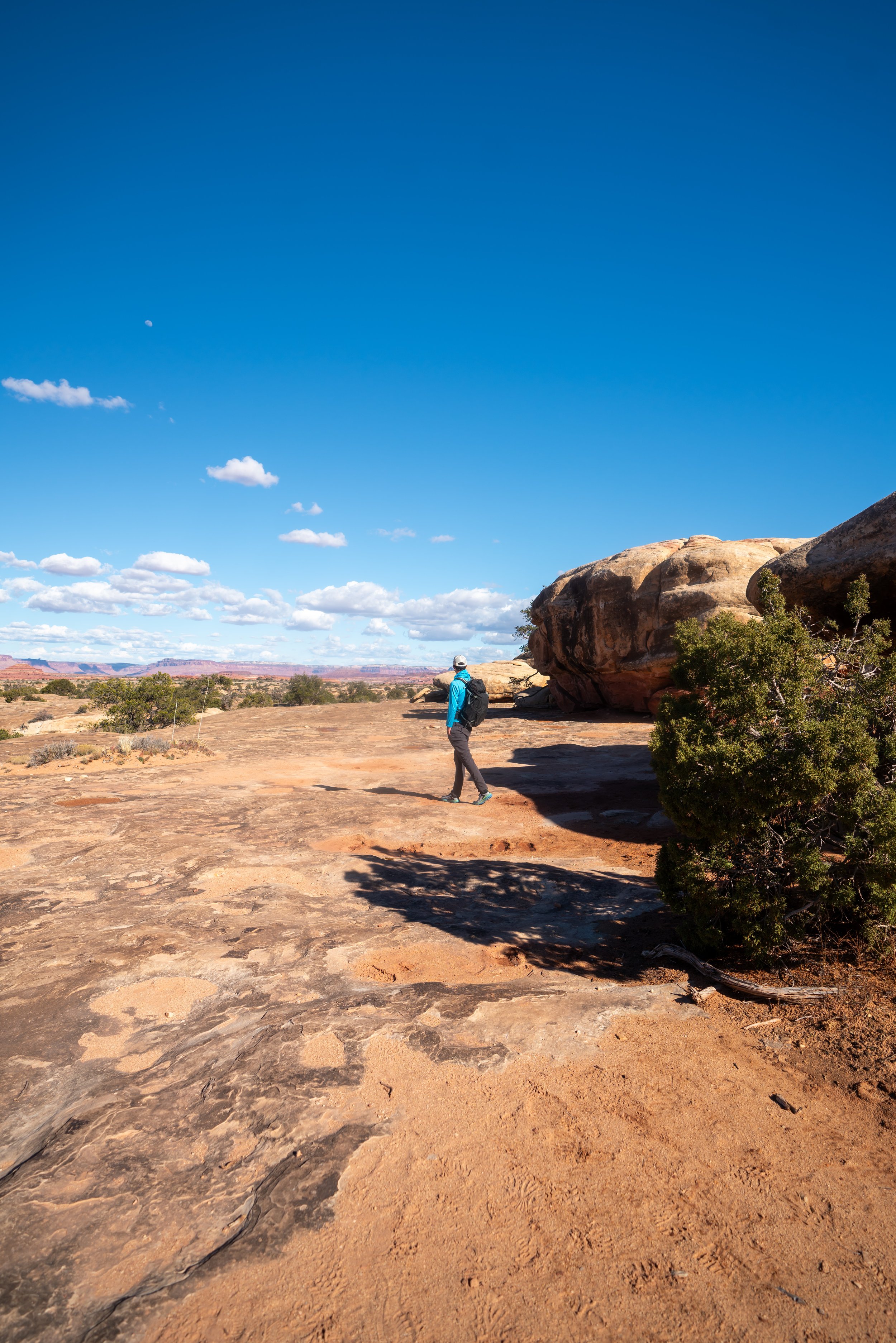
That said, the Murphy Point Trail is relatively flat, with only a few rolling hills as the trail nears the mesa rim toward the end.
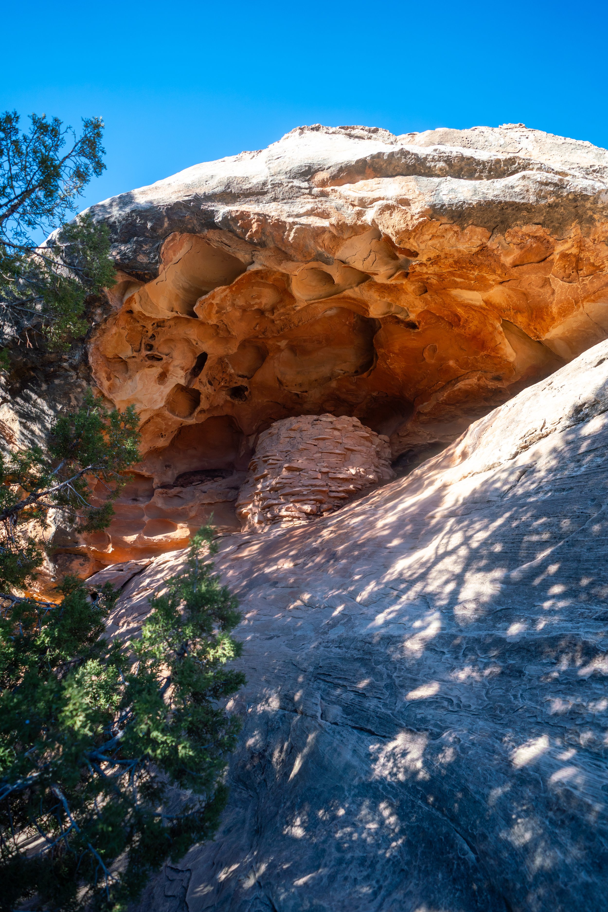
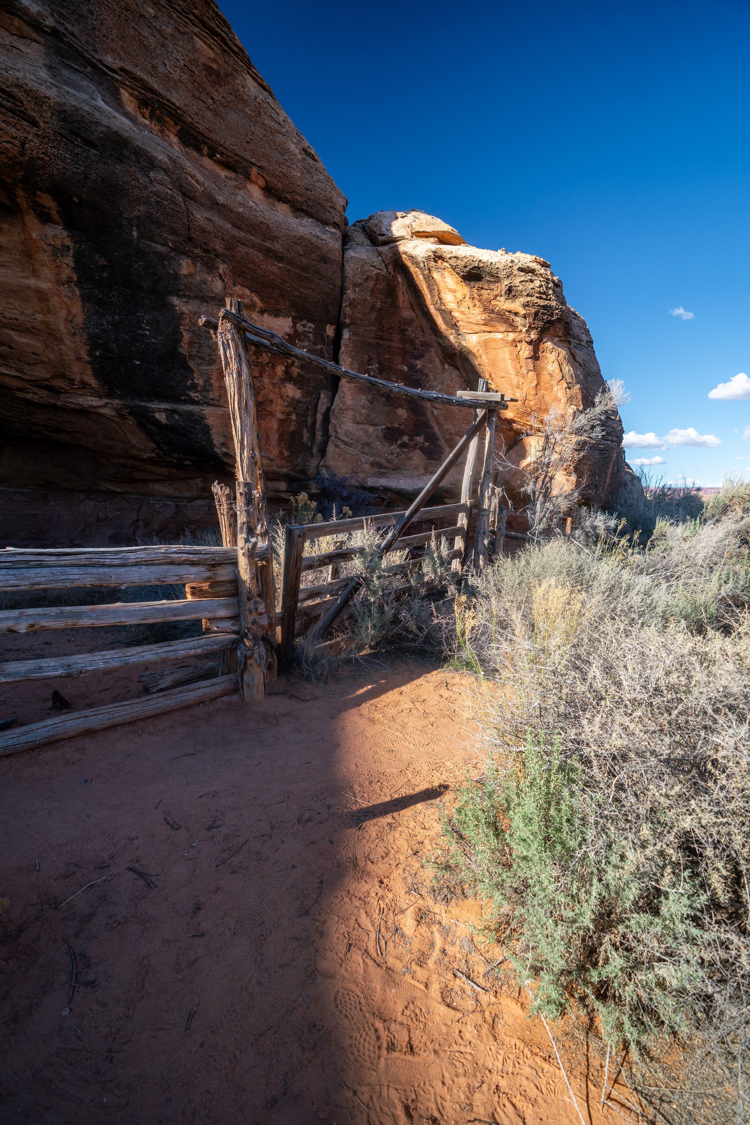
At about 0.2 miles (0.3 km) into the hike, the Murphy Point Trail passes by one of many historic ranching structures in Canyonlands National Park, an industry that once dominated many of the accessible pastures that you can see in Canyonlands today.
Murphy Point-Murphy Hogback Junction
Then, at roughly 0.4 miles (0.6 km), the Murphy Point Trail splits with the Murphy Trail, also called the Murphy Hogback Trail, which descends steeply down the mesa to White Rim Road below.
Here, go right to stay on the Murphy Point Trail.
Following the split, the Murphy Point Trail traverses a series of rolling hills, none being too difficult or overly strenuous compared to hikes that descend from the Island in the Sky.
These are Utah Junipers, and according to the National Park Service, the berries are considered to be edible for humans.
However, I have yet to try them for myself.

Utah Juniper - (Juniperus osteosperma)
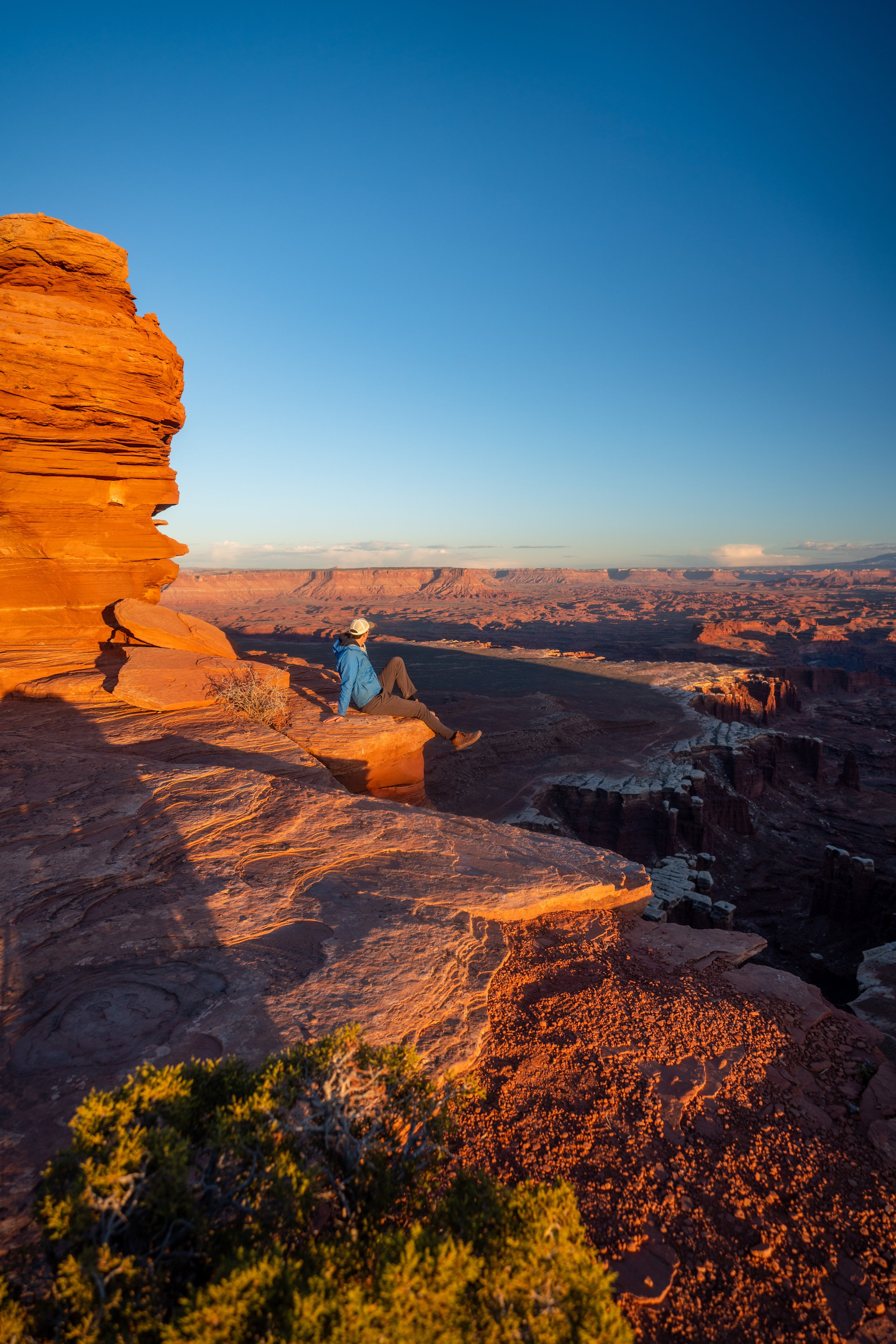
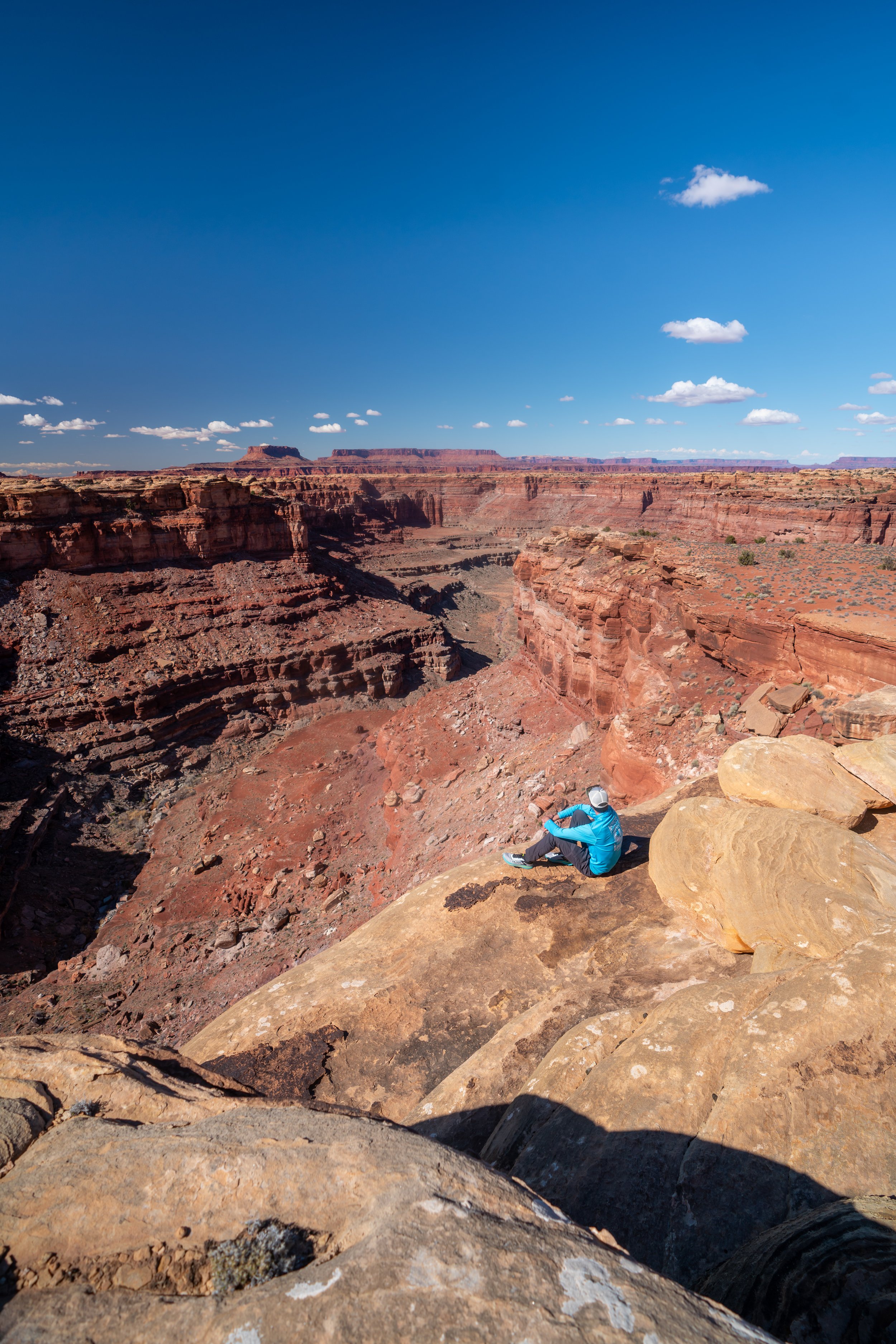
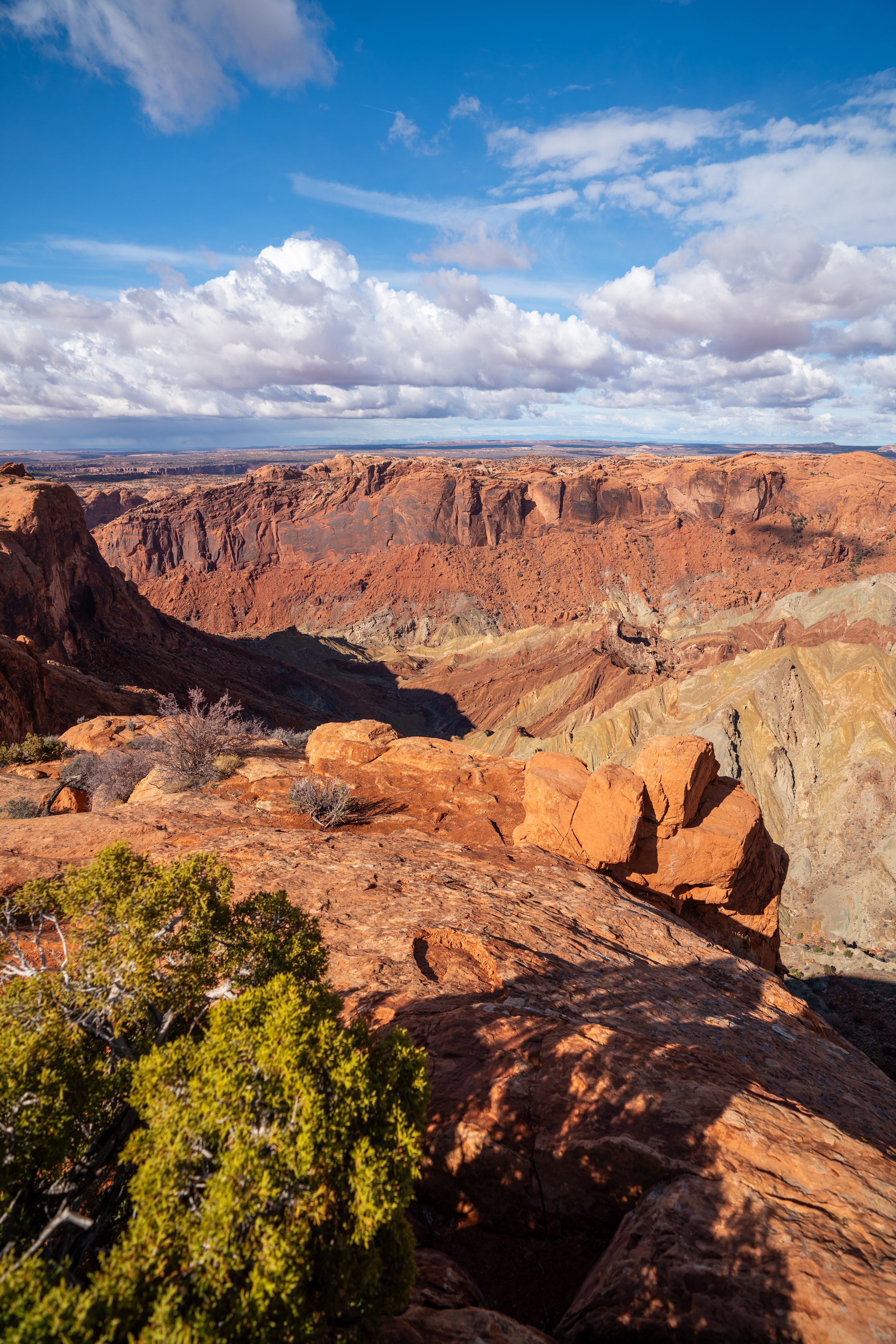
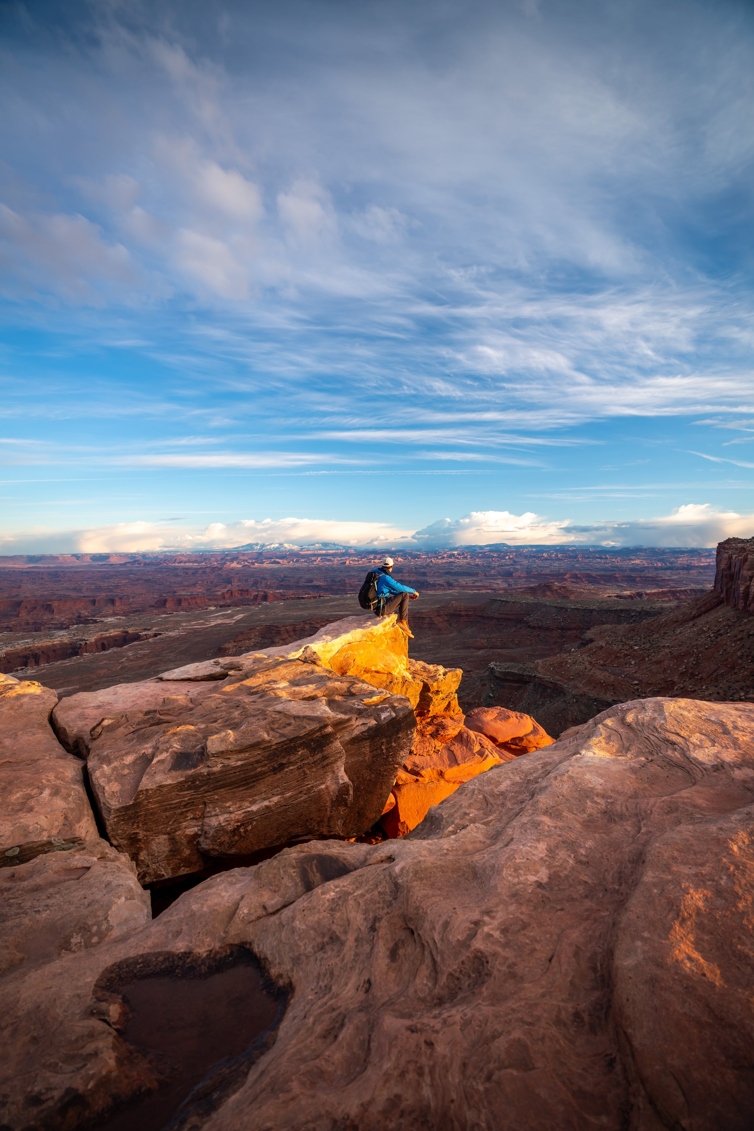
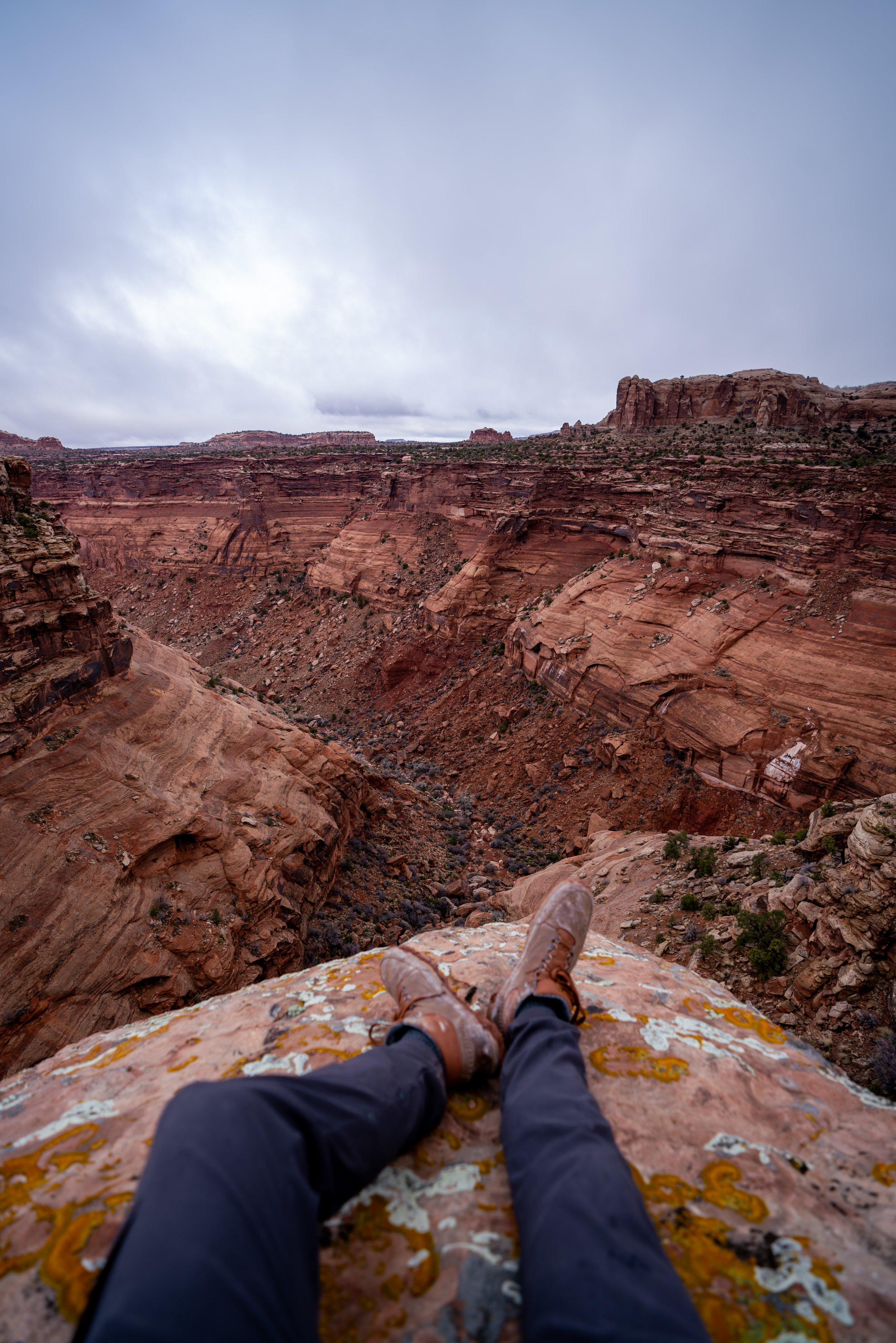
Murphy Point
At the end of the 1.7-mile (2.7 km) one-way trail, the Murphy Point Trail opens up to this beautiful west-facing viewpoint, standing roughly 1,300 ft. (396 m) above White Rim Road down below!
With this in mind, the Murphy Point Trail is a great option to consider for a sunset hike, but be sure to come prepared for the inevitable long walk back to the trailhead in the dark!