Hiking the Mesa Arch Trail in Canyonlands National Park
Distance: 0.7 miles / 1.1 km
The Mesa Arch Trail in Canyonlands National Park is a short and easy loop trail and a favorite among both day hikers and photographers looking to capture a photo of the beautiful east-facing arch perched just above the canyon rim!
This is exactly why the short 0.7-mile (1.1 km) Mesa Arch Trail is such a popular sunrise hike in Canyonlands National Park, which is true from the moment the sun comes up in the morning and throughout the day.
If you are interested in getting photos at sunrise, like the photos shown in this article, be sure to read the following section, as capturing a photo similar to this is not as straightforward as it may initially seem!
How to See Sunrise at the Mesa Arch?
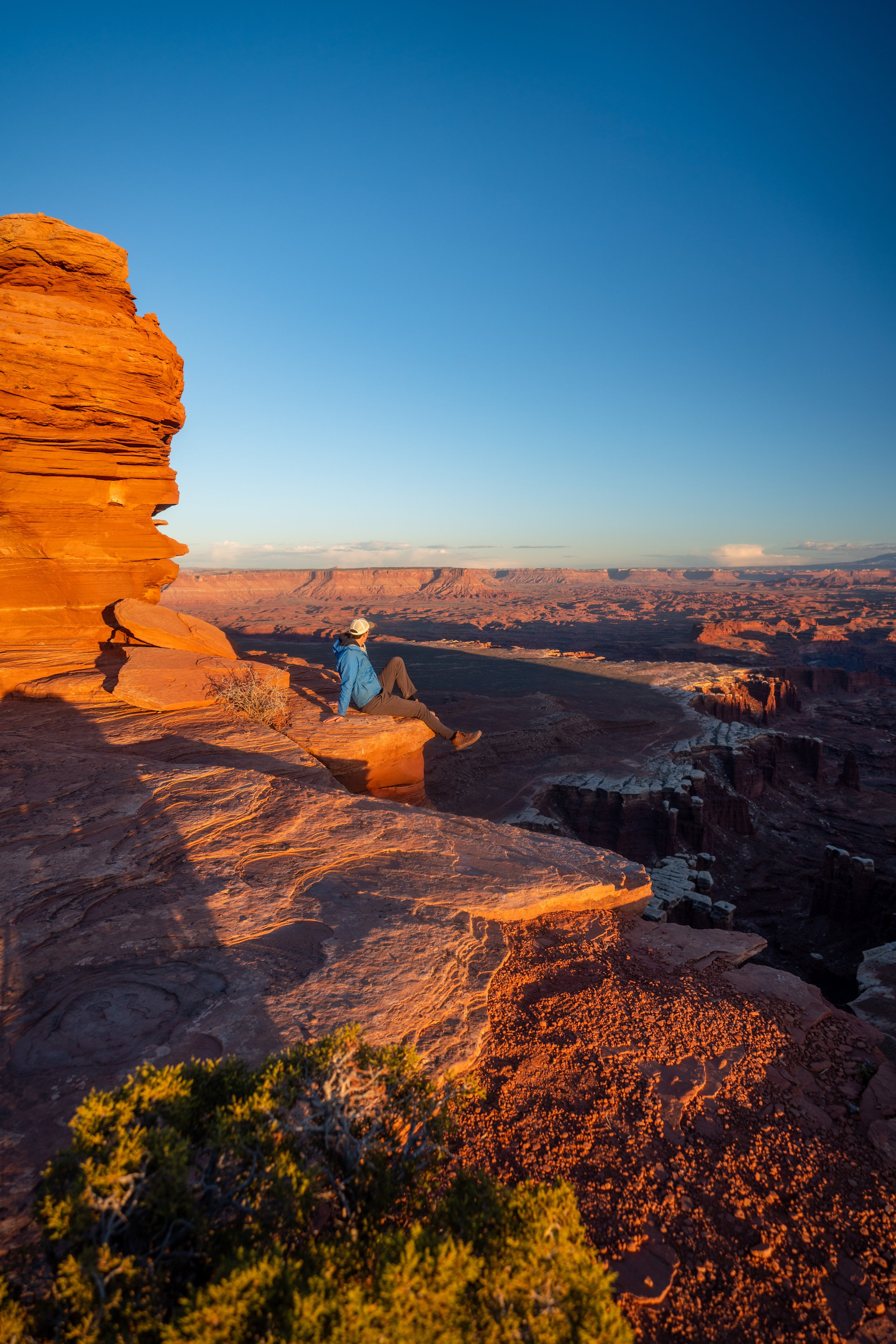
The first time I visited Canyonlands to shoot the sunrise at the Mesa Arch, I started hiking about 30 minutes before sunrise, thinking that I was early enough to beat the crowds.
However, after hiking the short trail to the Mesa Arch, I ran into a huge crowd of people in nearly every spot around the view through the arch. There was everyone from people with iPhones to photographers with tripods, but I was lucky to walk right up to an older lady who kindly made room for me so I could join the mess of people all trying for the same photo.
In my opinion, many of the photographers that had their tripods out were taking up way too much space, which was quite rude and unnecessary because it’s not like we were shooting a waterfall or something that required the stabilization.
That said, all of my photos were handheld and came out better than I could have expected for it being early in my photography career.
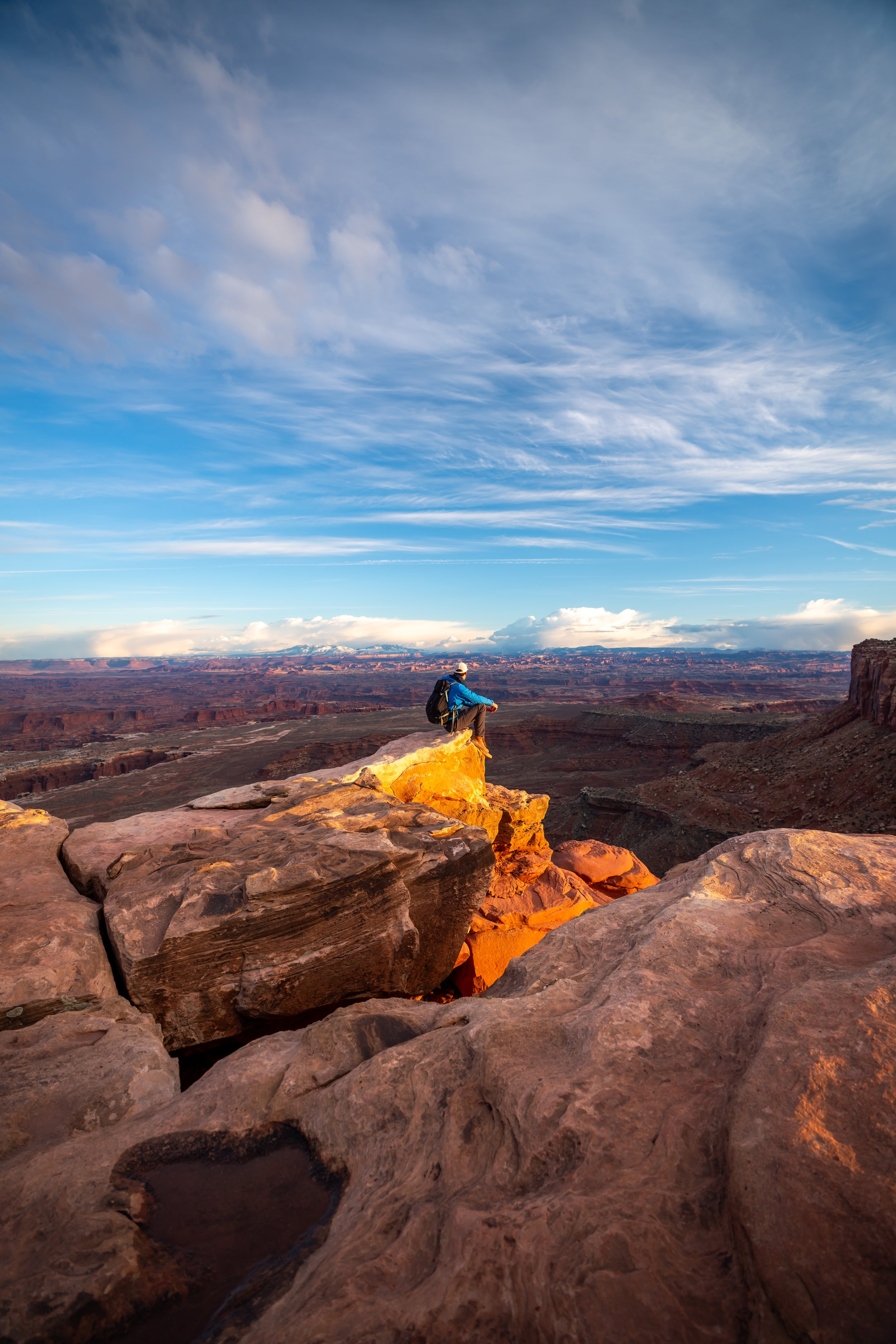
The crowds aside, catching sunrise from Mesa Arch is a stunning experience, and even if you don’t get the space for a photo through the arch, watching first light shine on the canyon floor is worth the effort alone!

My Print - Mesa Arch
Mesa Arch Trailhead Parking
Parking for the Mesa Arch Trail is located in a small parking lot directly off of Island in the Sky Road, about 6.1 miles (9.8 km) into the park from the visitor center.
In my experience, parking for the Mesa Arch Trail can be particularly busy during most times of the year, especially during the peak summer season!
Google Maps Directions: Mesa Arch Trailhead
Hiking Checklist - Canyonlands
Here is a complete list of must-have things that you will want for any hike in Canyonlands National Park.
Hiking the Mesa Arch Trail
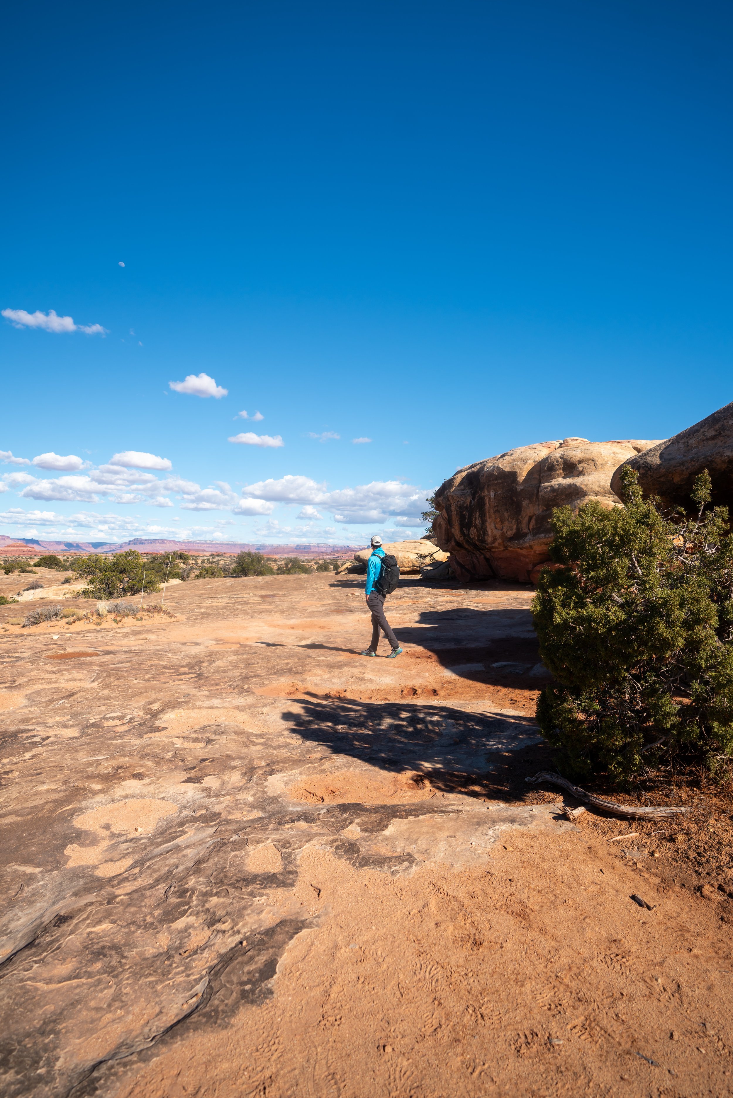
On account of its short distance and mild elevation changes, the Mesa Arch Trail is one of the most accessible hikes in Canyonlands National Park.
That said, any hike along the canyon rim, such as this, may not be suitable for young kids when the risk of falling is at its highest. I’ll talk more on this later.
Mesa Arch Loop Trail
Immediately after the trailhead, the Mesa Arch Trail splits into a loop, with neither side being more or less difficult than the other.
On this hike, I chose to go right in the counterclockwise direction.
As previously mentioned, the elevation changes on the Mesa Arch Trail are very mild, as there is only one small hill to go up and down each way.
Mesa Arch
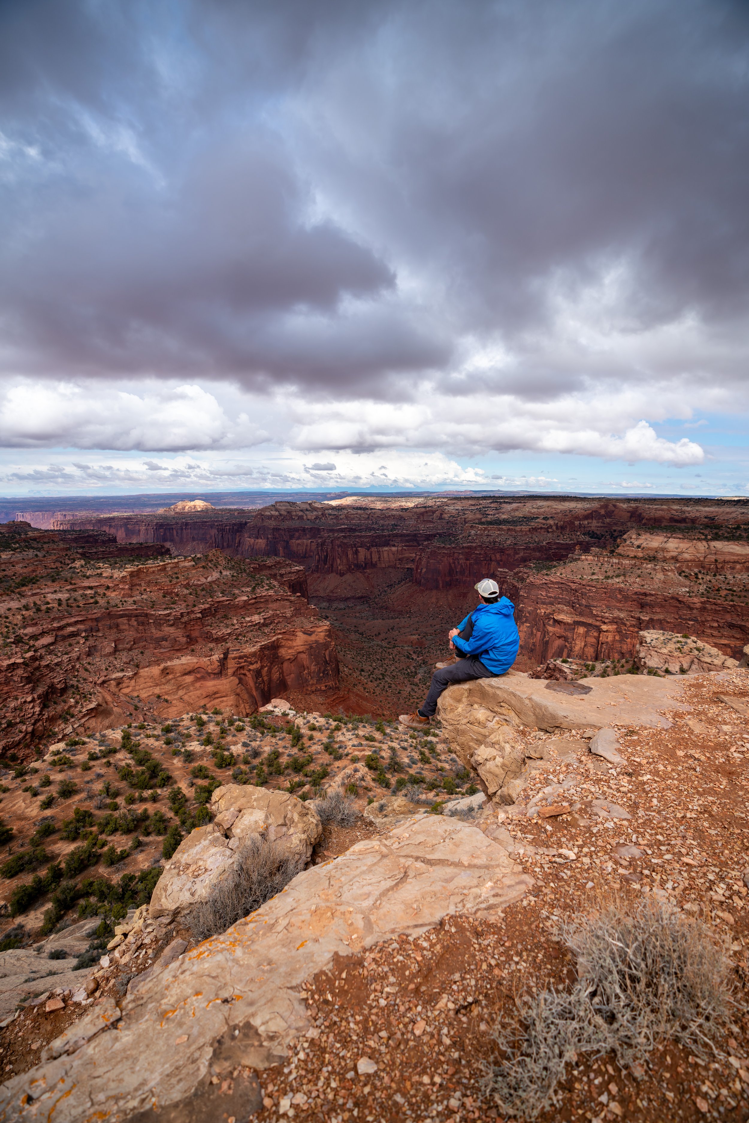
After 0.35 miles (0.6 km), the short loop trail arrives at the Mesa Arch, which is typically a fairly busy location among other hikers and photographers, depending on the time of day.
Warning
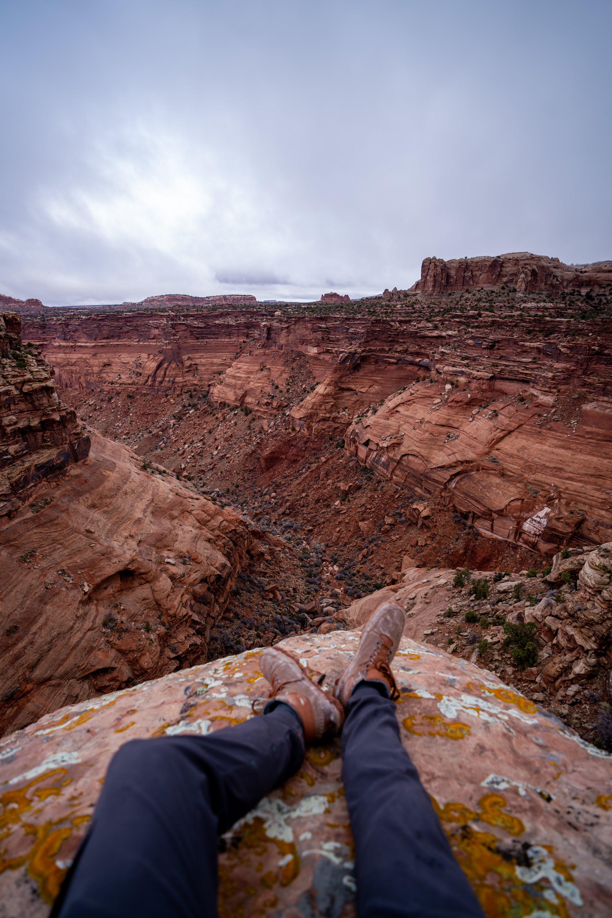
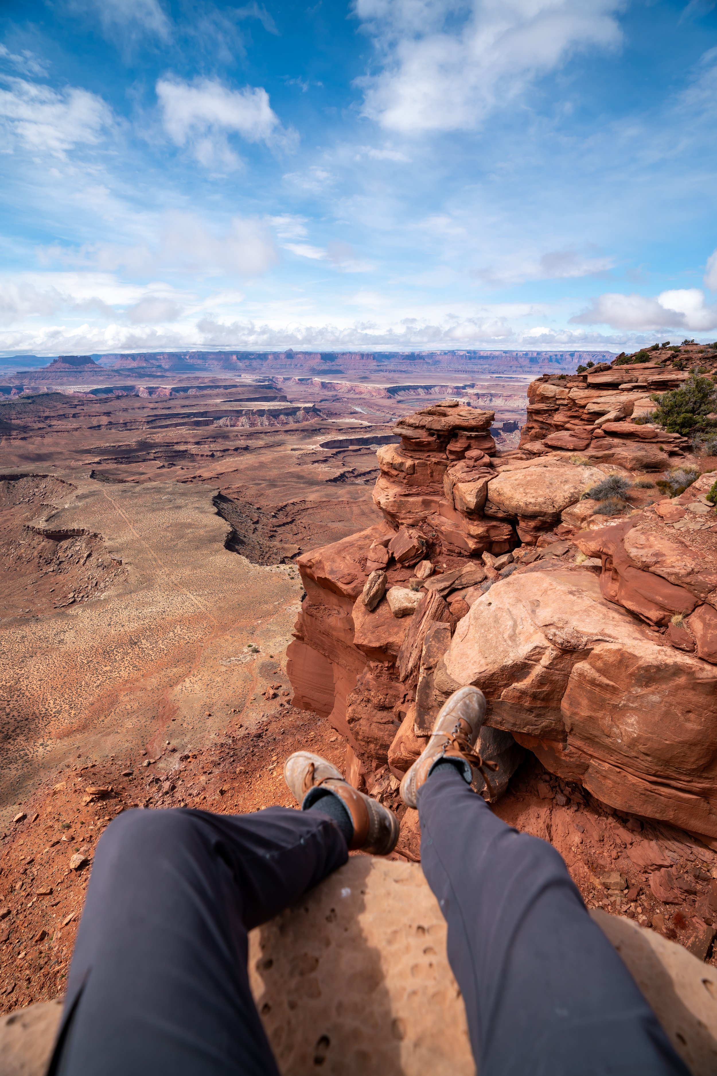
What photos like this don’t show is that the viewpoint through and around the Mesa Arch is a deadly cliff.
Visitors have taken fatal falls in areas across the Island in the Sky District before, which is why it’s important to be cautious here and everywhere along the canyon rim.
Past the Mesa Arch, the loop trail trail continues by ascending back up the small hill to get back to the trailhead.
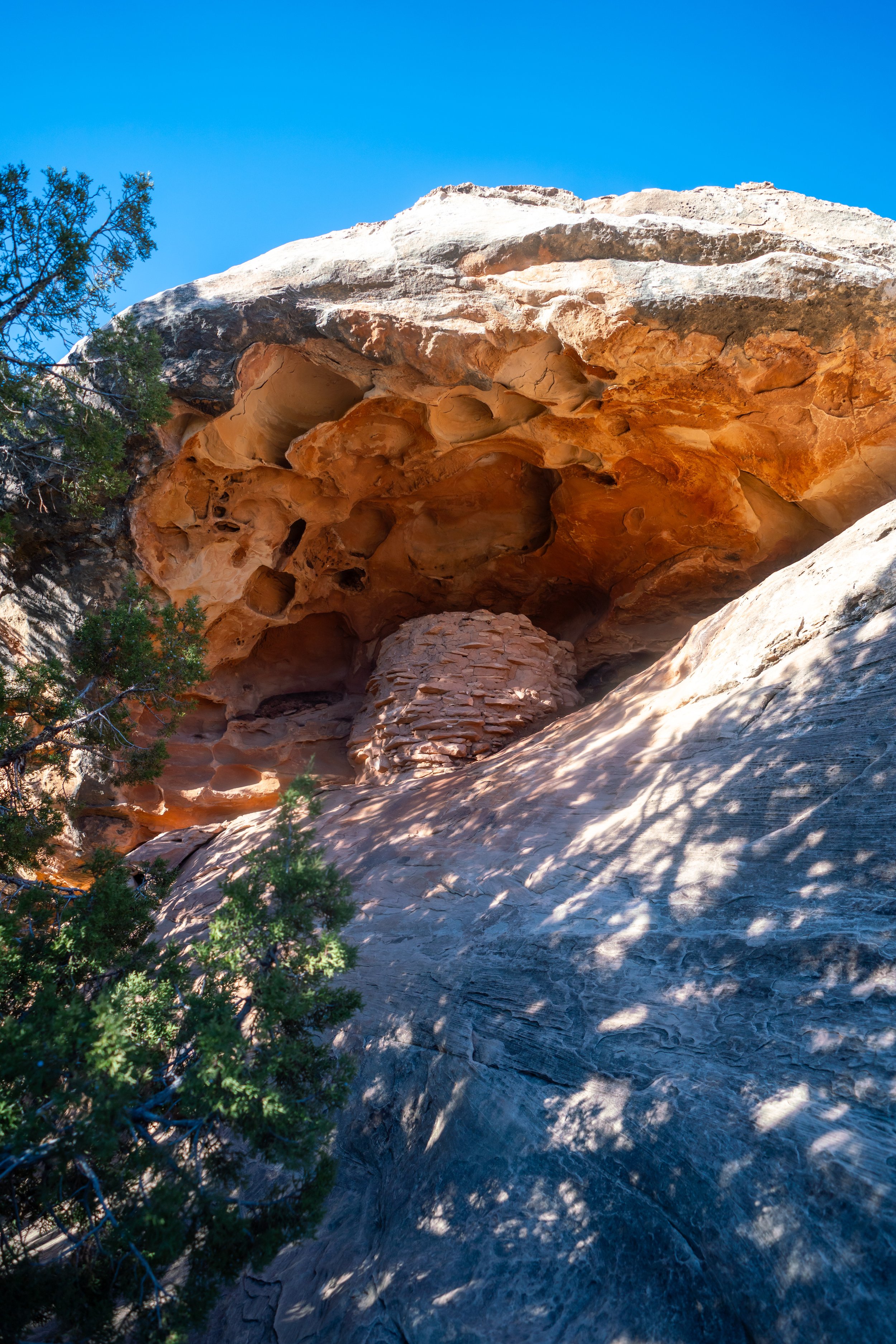
If you’re hiking during the spring, you may see the Utah Junipers full of berries!
According to the National Park Service, these berries are considered to be edible for humans, but I have yet to try them myself.
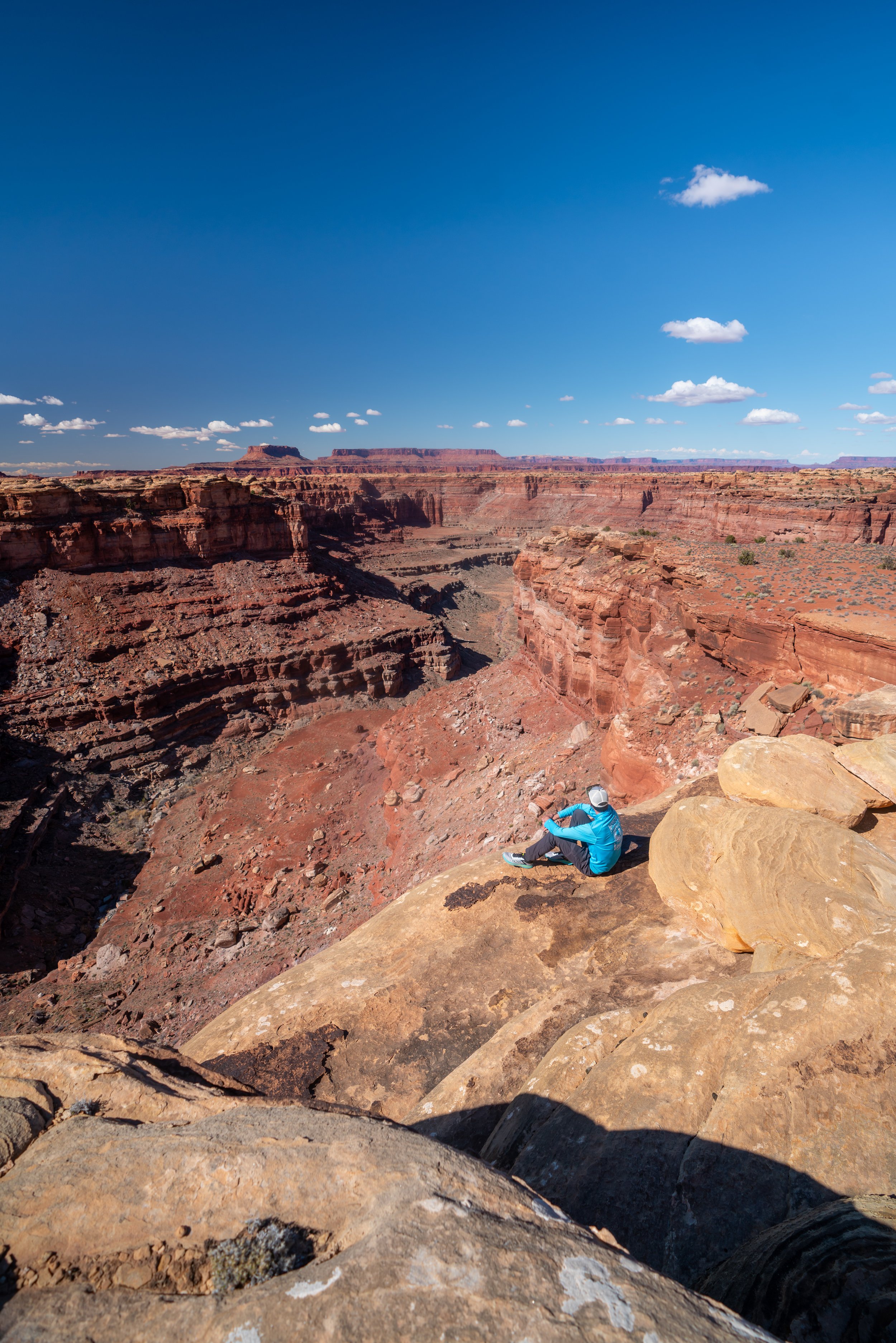
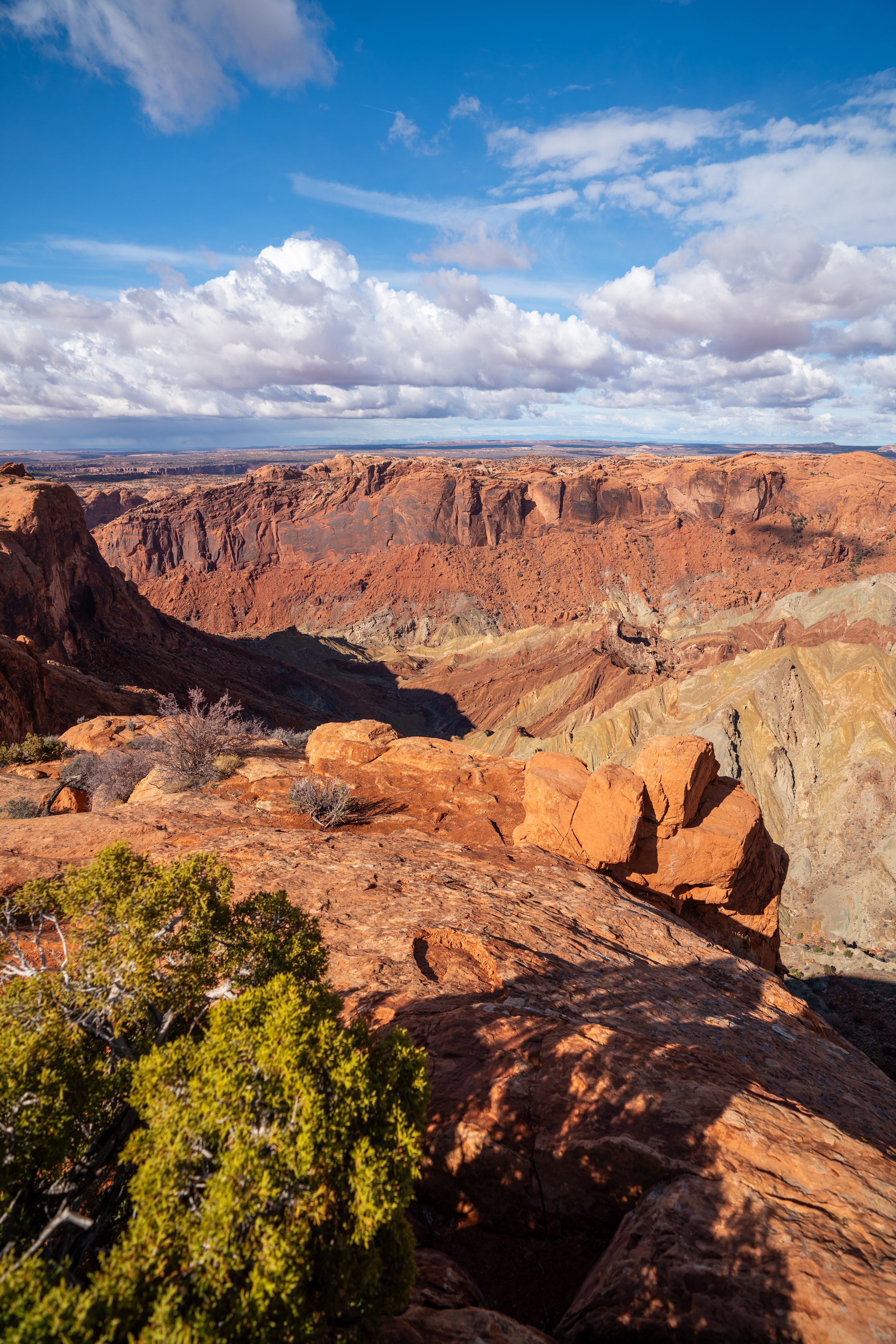
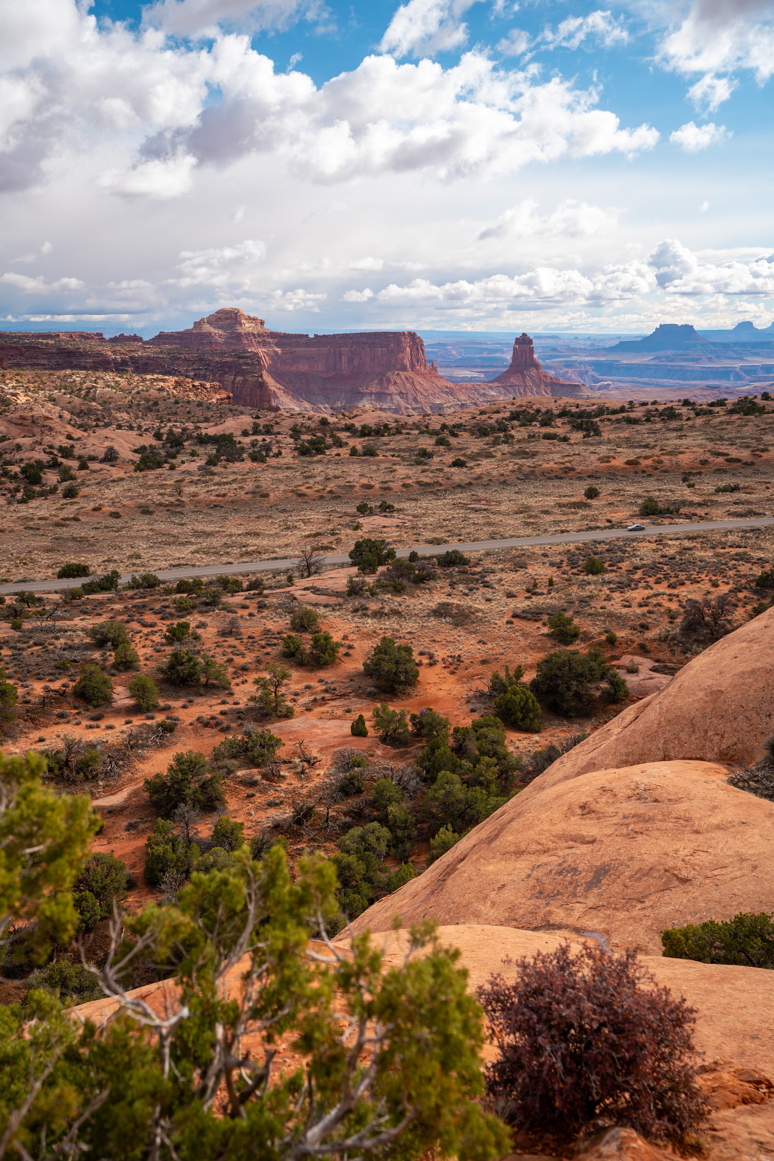
When the Mesa Arch Trail begins descending the hill back down to the trailhead, you can get great views of Aztec Butte — as in the photo below — which is another great day hike located just a short distance away.
Finally, the Mesa Arch Trail returns back to the beginning, at roughly the same distance on either side of the loop.