Hiking the Neck Spring Trail in Canyonlands National Park
Distance: 5.6 miles / 9.0 km
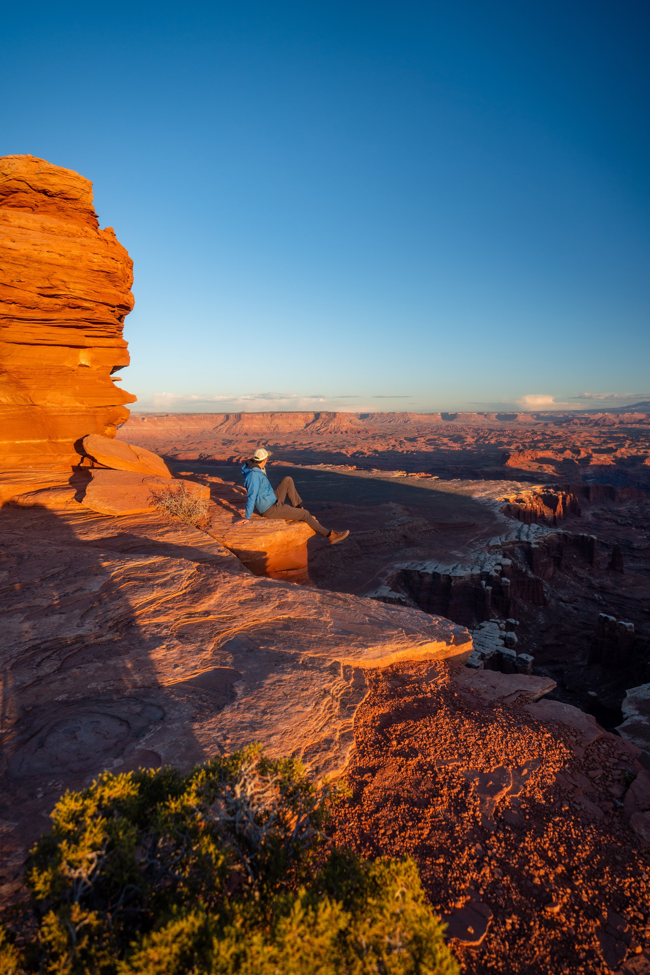
The Neck Spring Trail, also called the Neck Spring Loop Trail, in Canyonlands National Park is a longer fun adventure near the Island in the Sky Visitor Center that descends a short distance below the rim, passes a number of beautiful viewpoints and a natural spring, and features many historic remnants from the area’s long ranching history!
That said, the Neck Spring Loop is often overlooked by most who visit Canyonlands for the long distance alone, but this is one of a few reasons I think the hike is such a hidden gem!
Personally, I recommend hiking the Neck Spring Trail first thing in the morning because it is not only the closest hike on the way into the park from Moab but also because the longer Neck Spring Loop is far more enjoyable when it’s cooler in the morning—especially during the hotter summer months!
Neck Spring Trailhead Parking
Parking for the Neck Spring Trailhead is located in a large parking lot about 0.6 miles (1.0 km) away from the Island in the Sky Visitor Center.
This is the same parking lot as the Shafer Canyon Overlook, meaning that the parking lot is typically very busy by midday, due entirely to the overlook, not the Neck Spring Trail.
Google Maps Directions: Neck Spring Trailhead
Hiking Checklist - Canyonlands
Here is a complete list of must-have things that you will want for any hike in Canyonlands National Park.
Hiking the Neck Spring Trail
The Neck Spring Trail, also called the Neck Spring Loop Trail, can either be hiked by going right to cross over Island in the Sky Road or left to hike up the road first in the clockwise direction.
With that in mind, the Neck Spring Trail is a mostly downhill hike, and choosing which direction to hike the loop should come down to one decision: Would you rather hike back up to the trailhead a longer, more drawn-out ascent, or hike back up on a shorter but steeper ascent?
Personally, I prefer the latter, which is the counterclockwise direction, because it makes the Neck Spring Trail a very light and fast downhill hike, while getting all the elevation gain out of the way at once on the far end of the trail. On the contrary, the Neck Spring Trail would descend steeply and then constantly climb for much of the hike back to the trailhead.
Regarding everything mentioned above, I chose to go right in the counterclockwise direction because it’s my preferred way to hike the Neck Spring Trail.
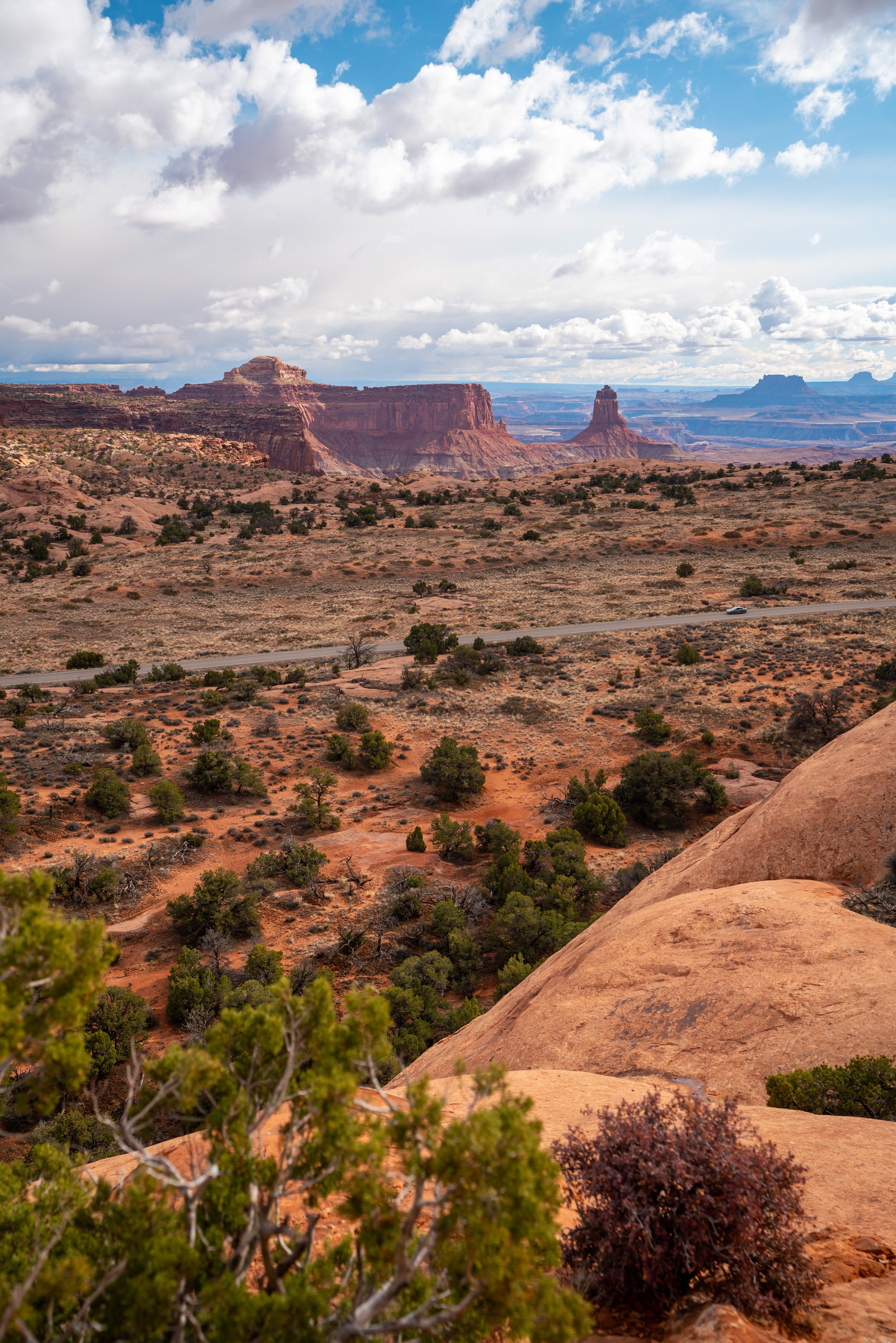
Island in the Sky Road
This is the first of two times where the Neck Spring Trail crosses Island in the Sky Road.
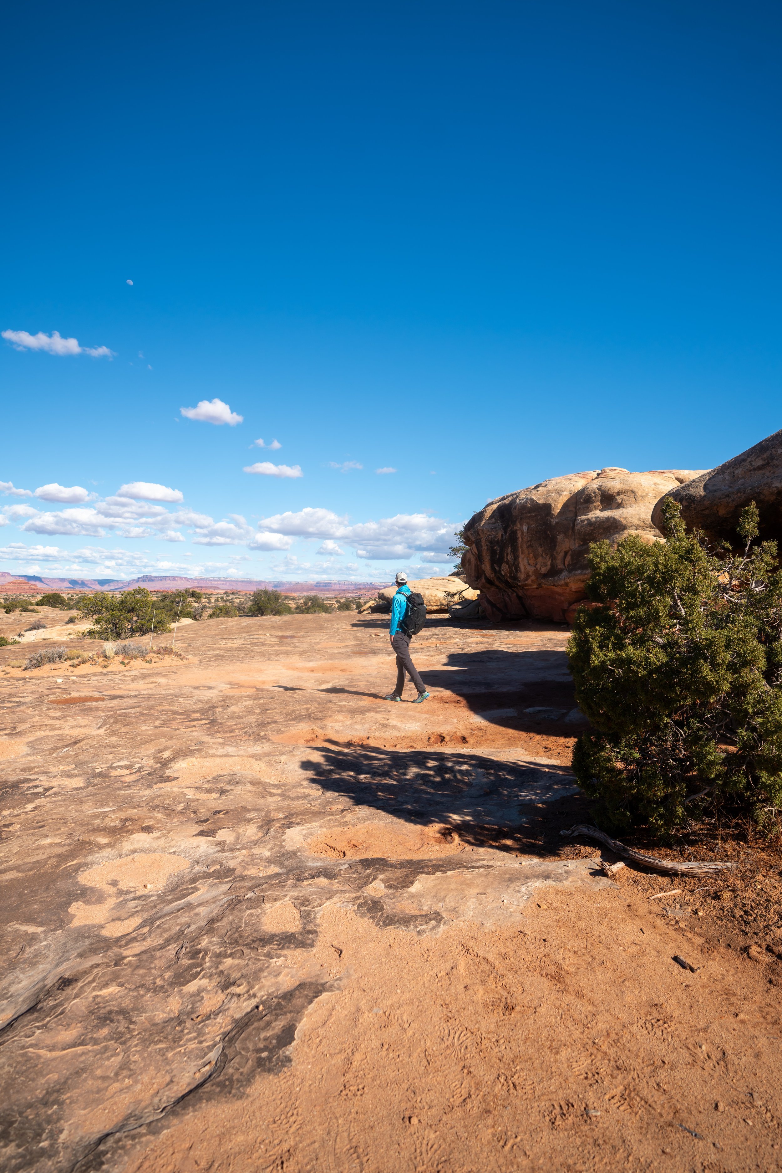
Shortly after crossing the road, the Neck Spring Trail noticeably begins its long descent down below the mesa that is the 'Island in the Sky.'
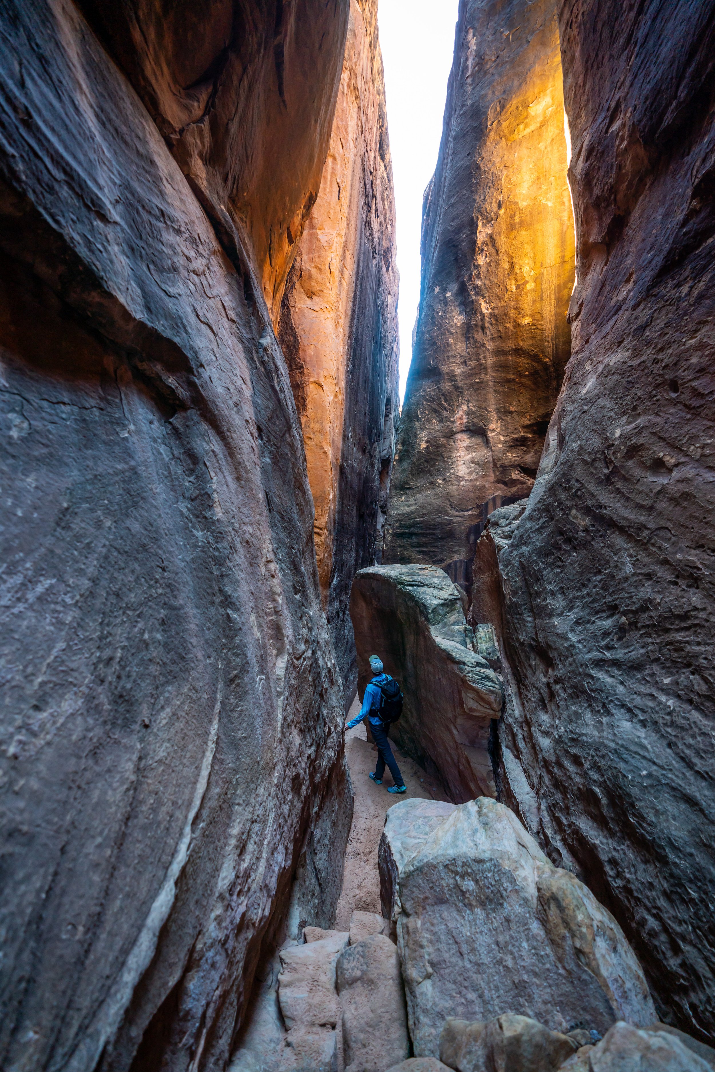
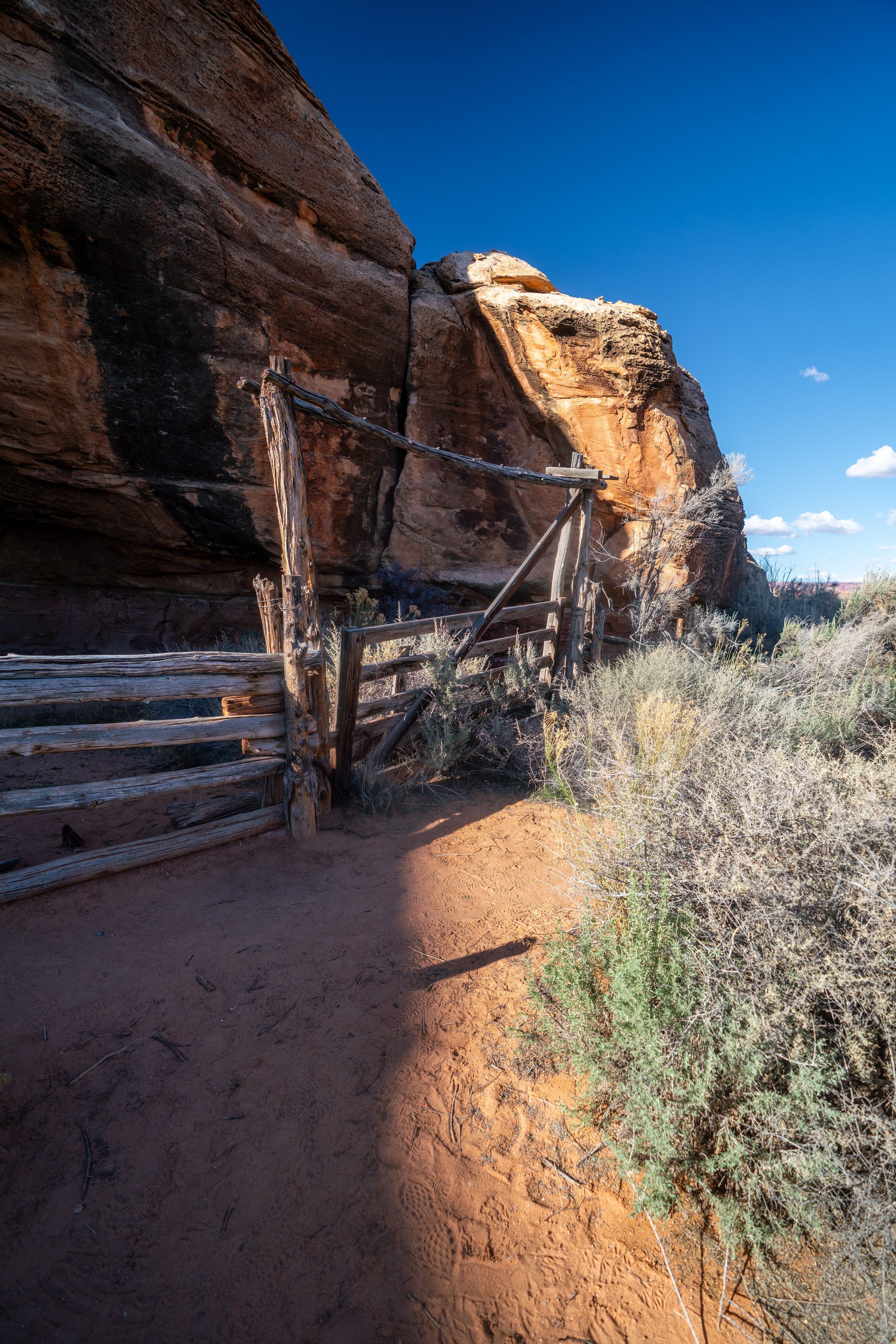
Once at the bottom of the mesa, the Neck Spring Trail simply winds its way in and out of multiple drainages, following a historic ranching trail, where cowboys would water their cattle from the natural springs.
In the first drainage, the Neck Spring Trail passes by the first of a few watering troughs left behind from this ranching era, which lasted from about 1880 to 1964.
This first drainage/ spring is unnamed, with the next being the true Neck Spring, for which the loop trail is accurately named.
Next, the trail climbs up and out of this first unnamed drainage, and into the much larger Neck Spring drainage, located shortly ahead.
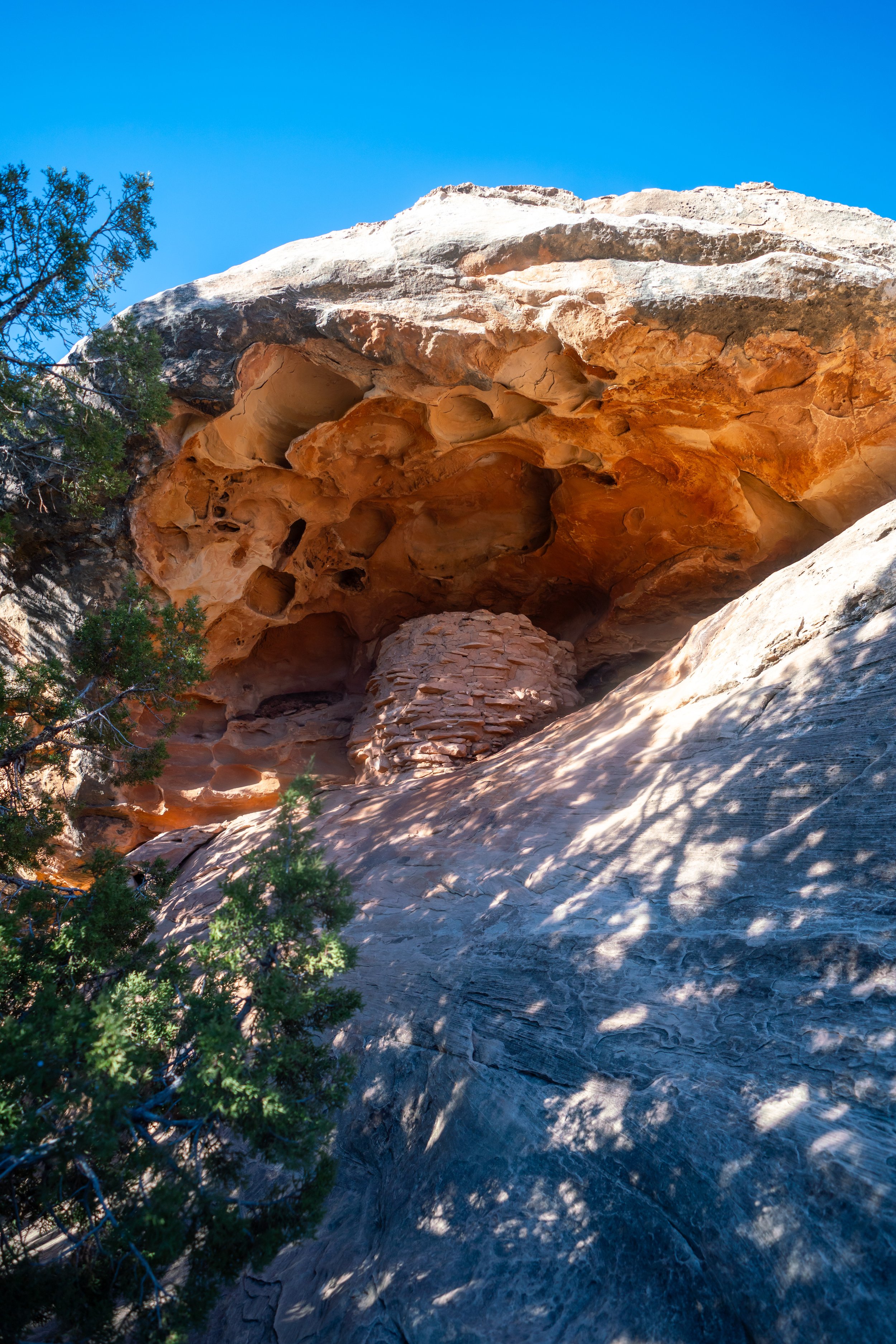
Neck Spring
After just 0.4 miles (0.6 km) past the first spring, the trail passes over Neck Spring.
Like the previous, this much larger drainage can be explored beneath the alcove, where another watering trough can be found nearby.
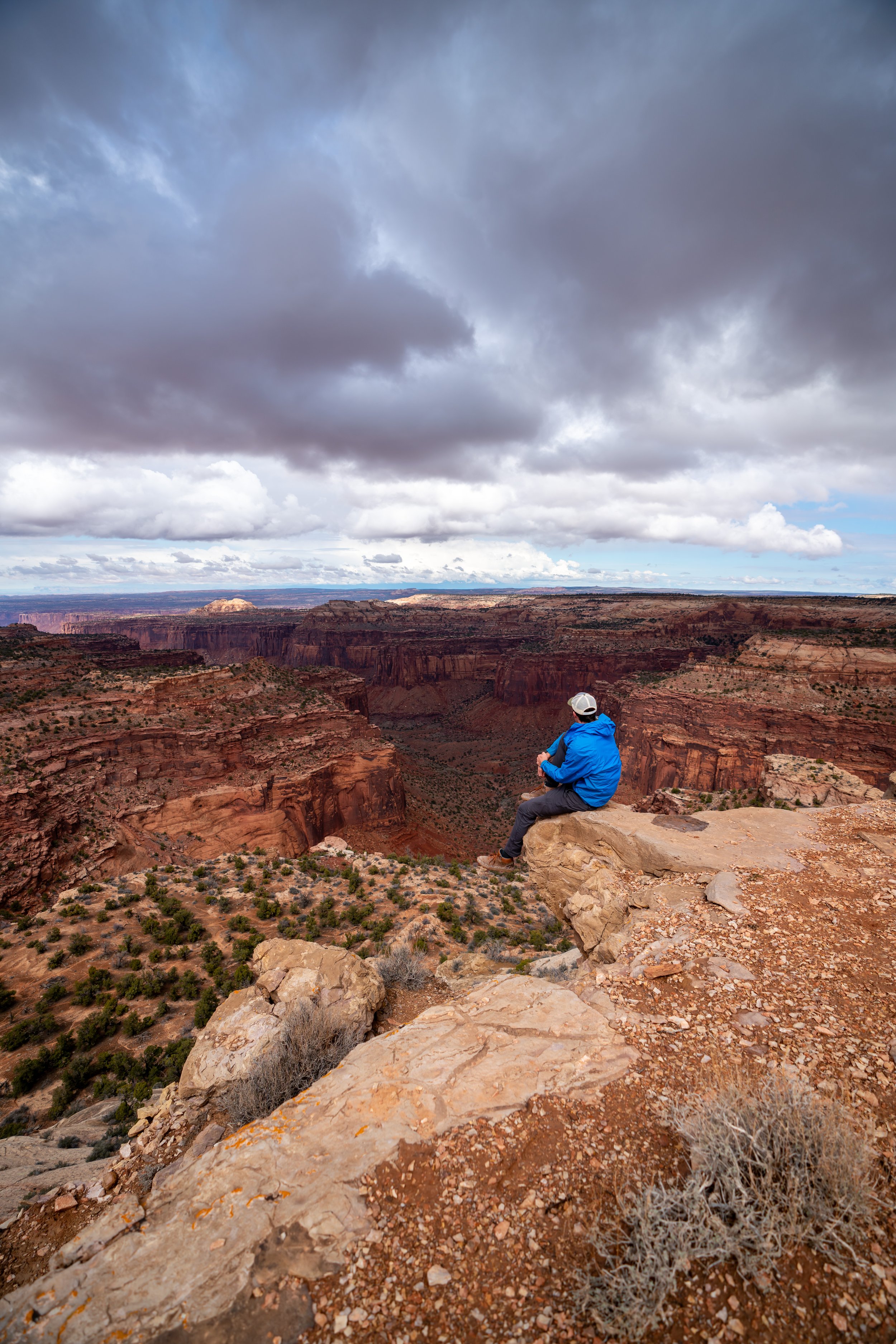
After Neck Spring, the trail continues further to what most consider to be the best viewpoint on the entire hike: Taylor Canyon, located about 1.3 miles (2.1 km) away from Neck Spring.
In the morning, the cool air and smell of the Utah Junipers and Piñon Pines is truly one of the best parts about the Neck Spring Trail.
If you notice this split in the trail, go left to stay on the Neck Spring Trail.
The path to the right does not lead to the beautiful Taylor Canyon Viewpoint.
Taylor Canyon Viewpoint Junction
It is here, at about 2.6 miles (4.2 km) into the hike, that you have the option to branch off the Neck Spring Trail to hike over to what I think is the most beautiful view on the entire loop.
After this turn, go right for about 0.1 miles (0.2 km) to see Taylor Canyon.
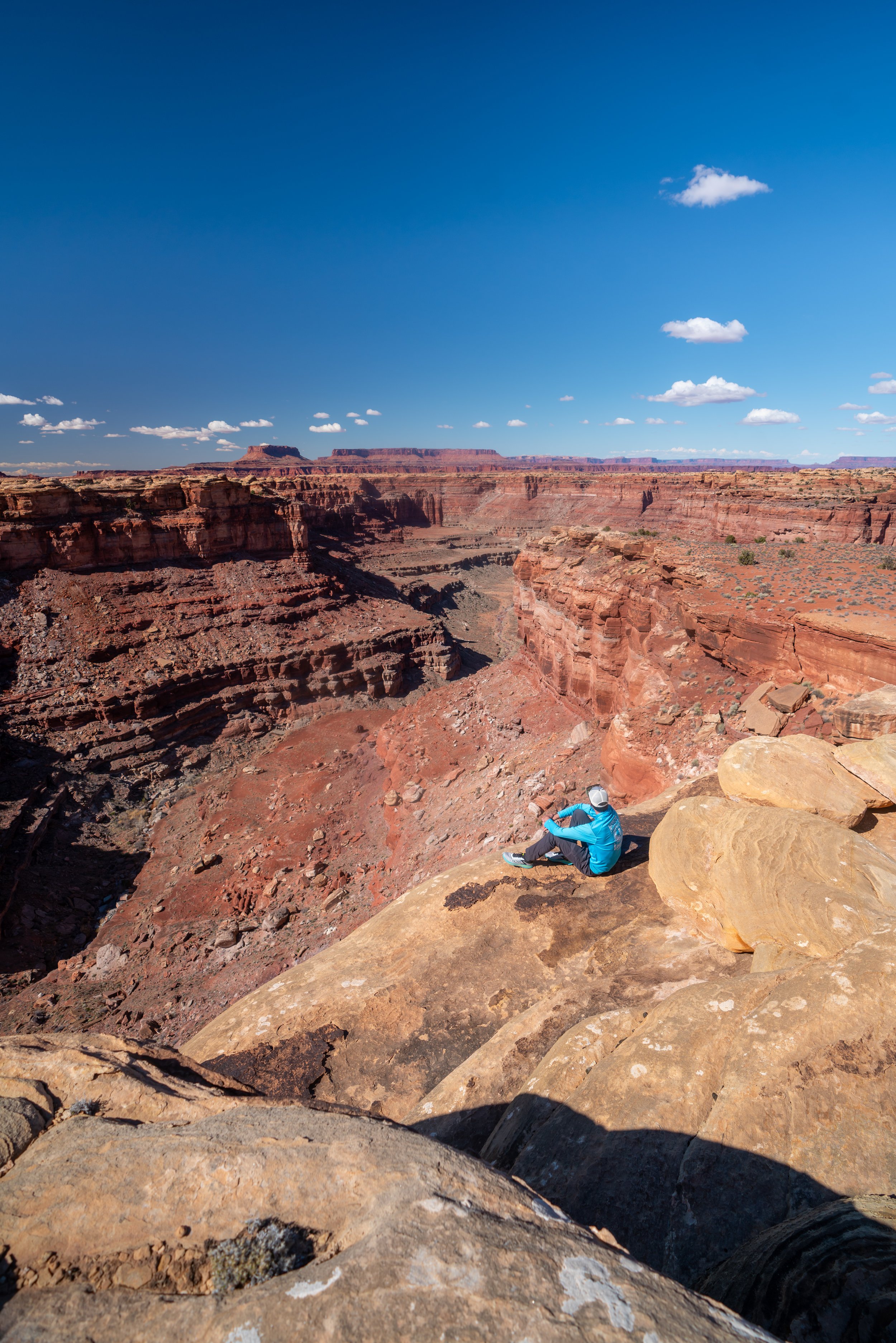
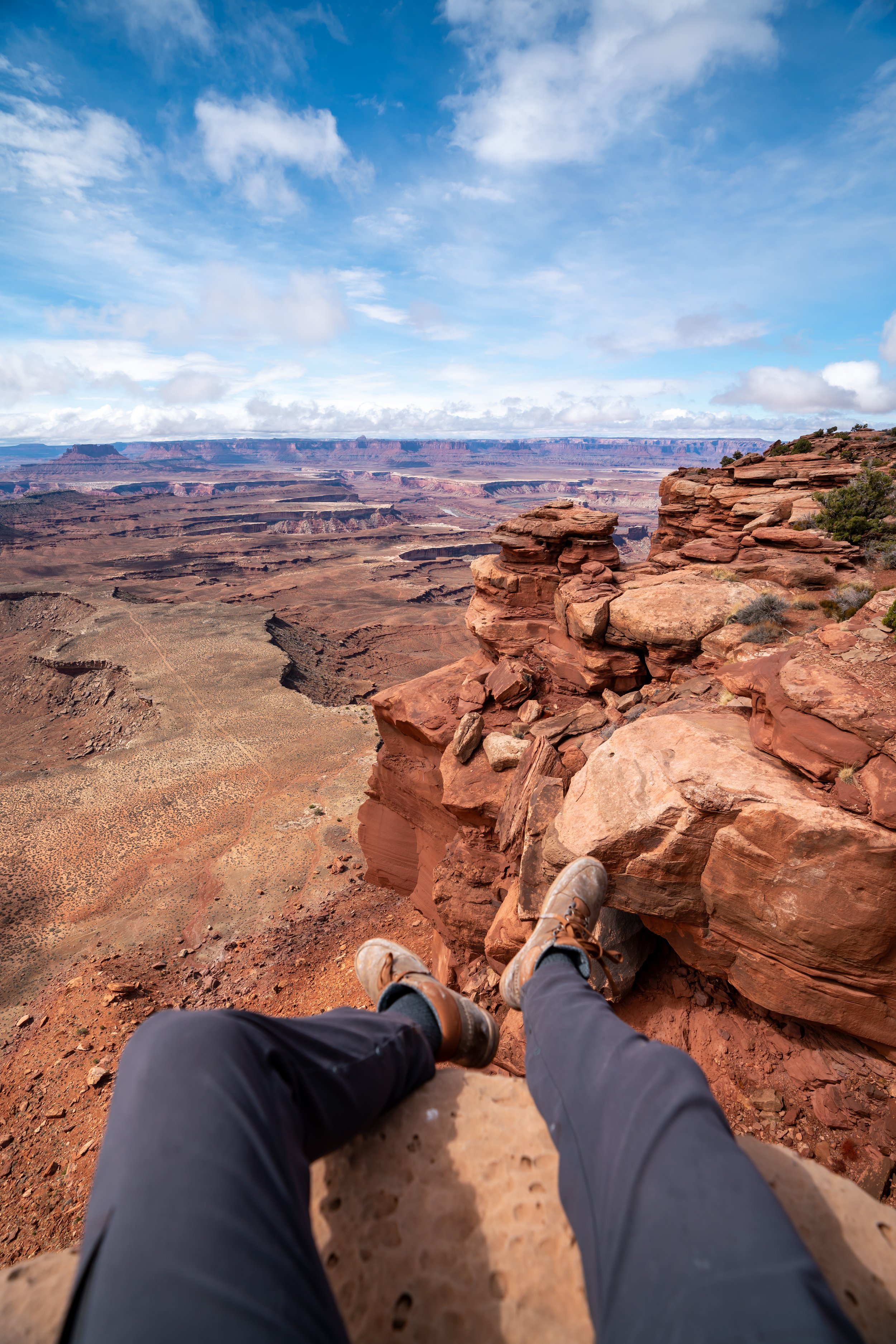
Taylor Canyon
Compared to other, more popular areas beneath the rim, Taylor Canyon is one of the most untouched areas near the Island in the Sky in Canyonlands National Park.
I say this because even the 'nearby' Alcove Spring Trail doesn’t venture up this remote portion of Taylor Canyon.
Once back on the main trail, the Neck Spring Trail continues for another 0.7 miles (1.1 km) below the Mesa, which is where the trail begins the short but steep ascent back to the top.
This is where the Neck Spring Trail climbs back up the mesa, which is truly a very short section of the overall 5.6-mile (9.0 km) trail.
This is why I prefer to hike the loop in this direction over the other.
After just 0.2 miles (0.3 km), the Neck Spring Trail levels out, as it makes its way back to Island in the Sky Road.
This is the last historic watering trough on the Neck Spring Trail.
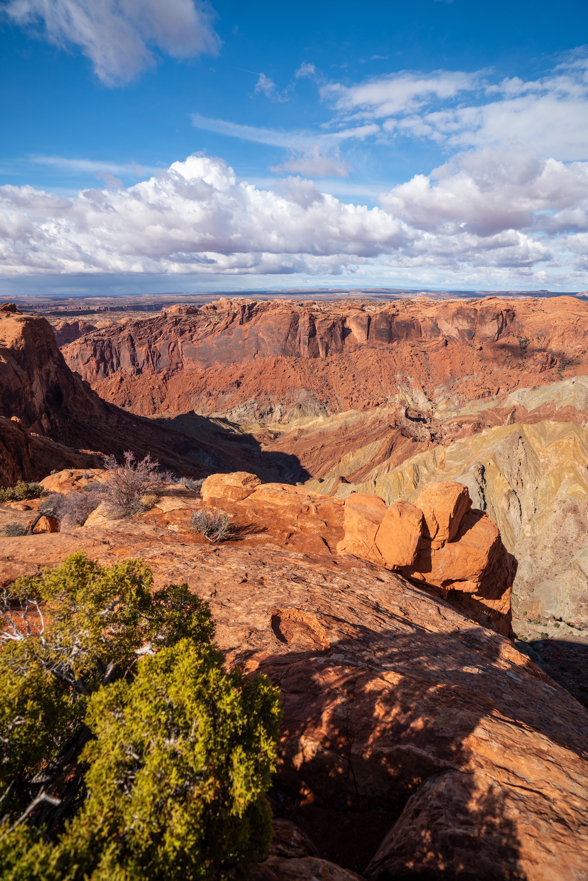
Upper Neck Spring Viewpoint
This is the north-facing viewpoint above Neck Spring, and if you look closely, you can see the trail and sometimes other hikers down below.
That said, don’t throw rocks over the edge, which I hope goes without saying.
Island in the Sky Road
This is the second Island in the Sky Road crossing, and it’s always a nice sign that you’re getting near the end of the loop.
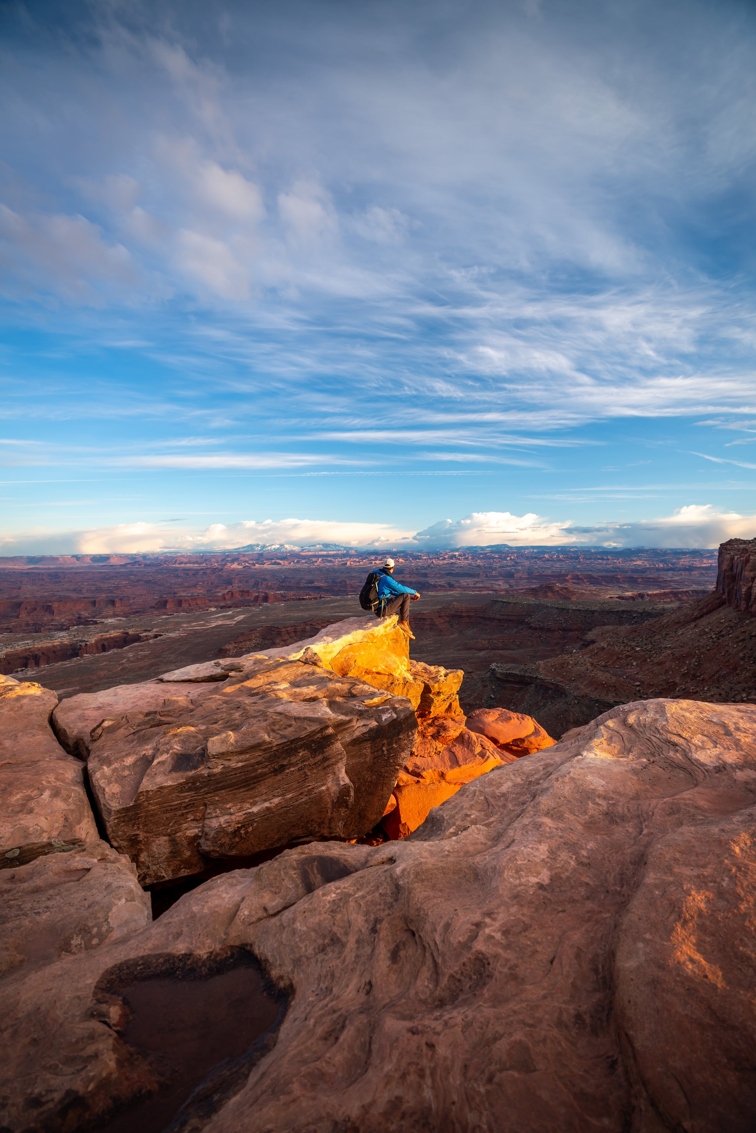
Shafer Trail Viewpoint
Finally, the Neck Spring Trail passes right by the Shafer Trail Viewpoint, a completely separate adventure that descends off the Island in the Sky to White Rim Road below the rim.
That said, exploring below the rim is actually more accessible for out-of-state visitors than it may seem. By this, I mean that there are a variety of biking tours based out of Moab that range from just a few hours to multi-day adventures below the Island in the Sky.
They specialize in exploring the areas below the rim, which can be best experienced with one of the local guides out of Moab, since they tend to be some of the most remote and challenging areas of the park to explore!
Therefore, I highly recommend exploring your options below if this is something that interests you.
'The Neck'
This turn in the road is what’s called 'The Neck,' which is known for being the narrowest section of the Island in the Sky mesa.
Neck Spring Trailhead
Overall, the Neck Spring Trail is one of the least-trafficked hikes in all of Canyonlands, and if you hike the trail first thing in the morning, as shown here, you’re more than likely to enjoy the beautiful, cool weather, fresh-smelling Utah Junipers, and Piñon Pines without the crowds that can be found throughout the park as the day goes on.