Hiking the Slickrock Trail in Canyonlands National Park
Distance: 2.7 miles / 4.3 km
The Slickrock Trail, also called the Slickrock Foot Trail, in Canyonlands National Park is a relatively quick and easy day hike near the end of the Needles Access Road that traverses a mostly flat loop atop a remote desert mesa to a number of beautiful viewpoints, none being more beautiful than the fourth!
That said, the best of the Slickrock Trail is not as straightforward as simply following the trail markers along the loop, as the most beautiful viewpoint at the end is often overlooked by most visitors who don’t venture far enough to see it!
This is why, I highly recommend reading to the end to see all the details, as the full loop and beyond should be hiked to enjoy the best of what this beautiful adventure has to offer!
Slickrock Trailhead Parking
Located about 6.3 miles (10.1 km) past the visitor center and only 0.2 miles (0.3 km) away from the Big Spring Canyon Overlook, parking for the Slickrock Trailhead can be found directly off the side of The Needles Access Road.
In my experience, parking at the Slickrock Trailhead is not as challenging as other trailheads in The Needles—especially the Elephant Hill Trailhead, which is generally the most popular place to hike, on account of the beautiful Chesler Park Loop Trail.
Google Maps Directions: Slickrock Trailhead
Hiking Checklist - Canyonlands
Here is a complete list of must-have things that you will want for any hike in Canyonlands National Park.
Hiking the Slickrock Trail
The Slickrock Trail begins on a slightly downhill path before climbing up to the mesa, where the majority of the Slickrock Trail is located.
Following this initial down-and-up, the Slickrock Trail has very little elevation change over the course of the 2.7-mile (4.3 km) trail.
Slickrock-Viewpoint 1 Junction
After 0.3 miles (0.5 km), the Slickrock Trail reaches the first of four viewpoint junctions, but, as previously mentioned, the fourth is the best and most rewarding!
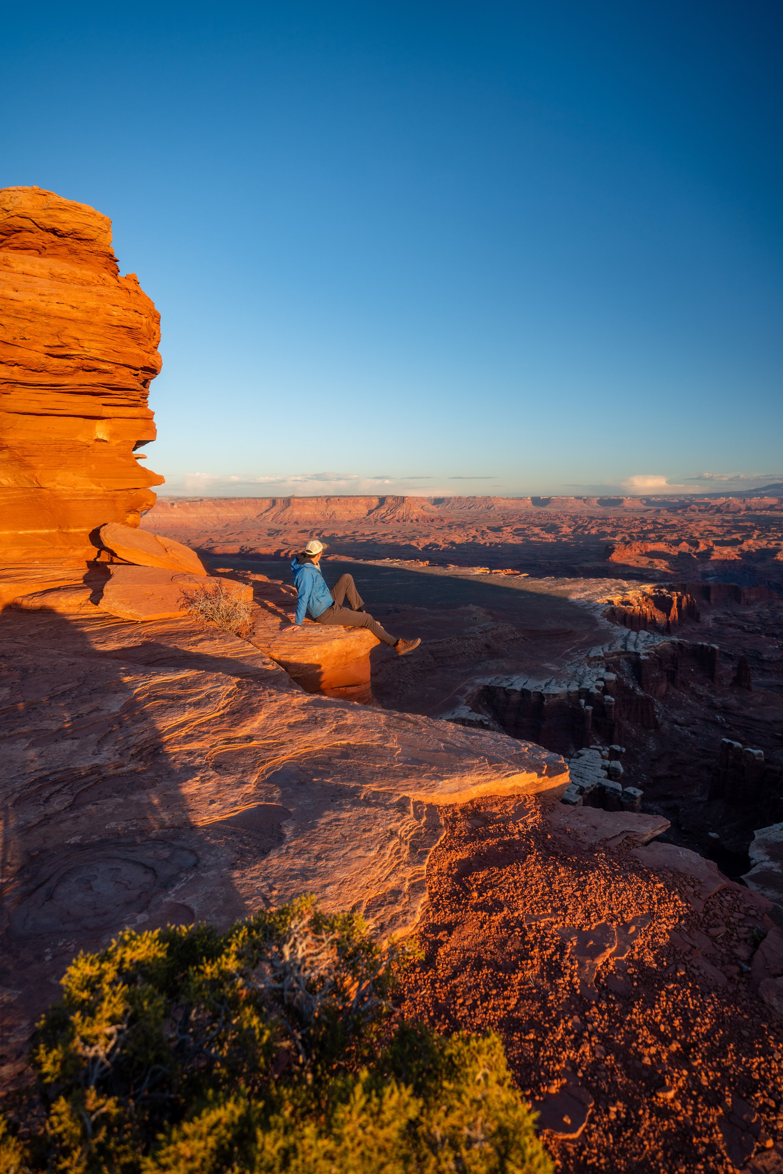
Viewpoint 1
This is the first viewpoint, located almost directly off the trail.
That said, I personally think the first is the least impressive of the four.
Slickrock-Viewpoint 1 Junction
Once back on the main trail, there is about 0.2 miles (0.3 km) until the Slickrock Loop Trail.
Slickrock Loop Trail
This is the start of the Slickrock Loop Trail, and while it could be hiked in either direction, going right in the counterclockwise direction is generally the most common way to hike the loop, as this is the side of the loop with the majority of the designated viewpoints.
Slickrock-Viewpoint 2 Junction
This is the split for the second viewpoint, located about 0.3 miles (0.5 km) past the start of the Slickrock Loop.
Viewpoint 2
In my opinion, the second viewpoint is noticeably more beautiful than the first, and it only gets better as the loop reaches the far end of the mesa.
Slickrock-Viewpoint 2 Junction
Then, the Slickrock Trail continues north along the mesa for another 0.2 miles (0.3 km) until the junction for the third viewpoint.
Slickrock-Viewpoint 3 Junction
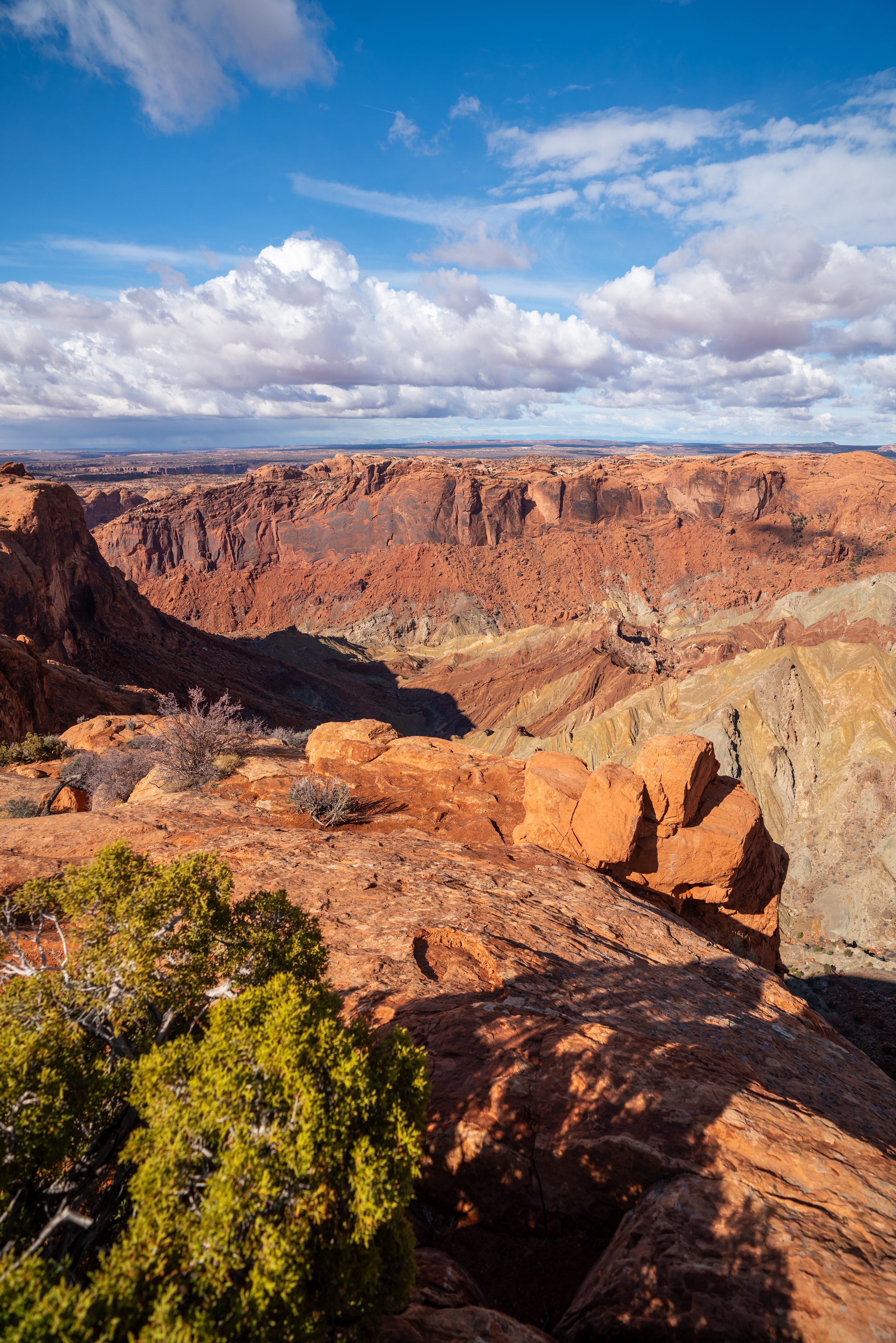
For most, including the National Park Service, they consider the third viewpoint to be the area closest to the cliff of the mesa, but I recommend hiking further, as shown below, to reach a more beautiful spot on this little peninsula.
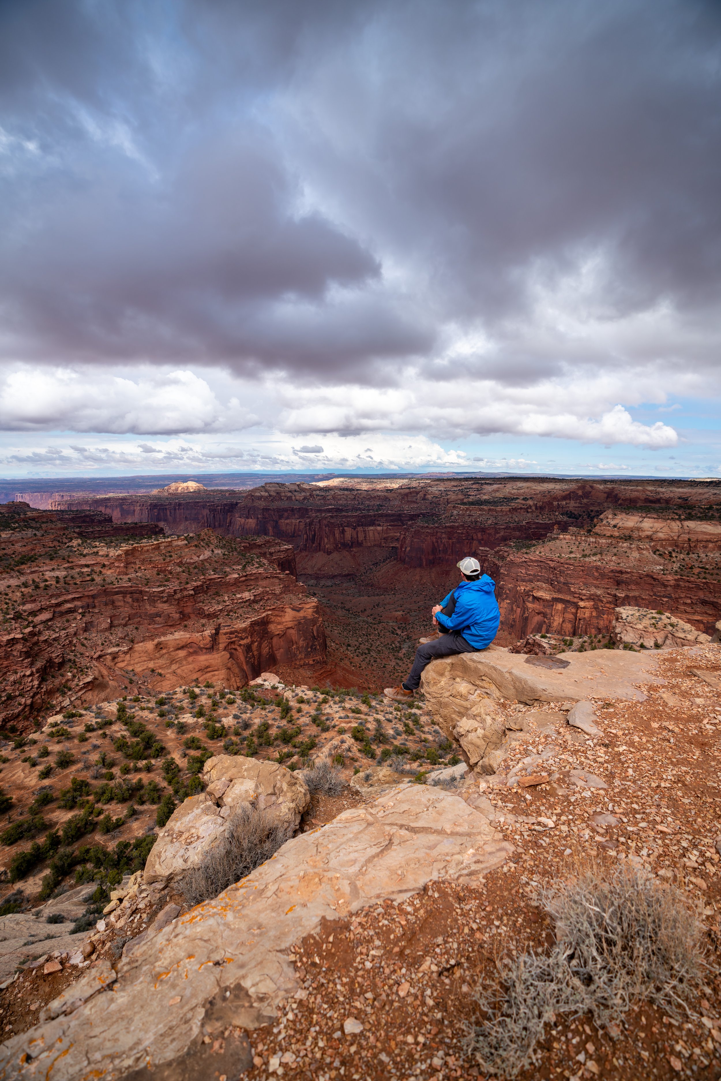
Viewpoint 3
From viewpoint three, the Island in the Sky District, the mesa off in the distance below, truly starts to stand out from the rest.
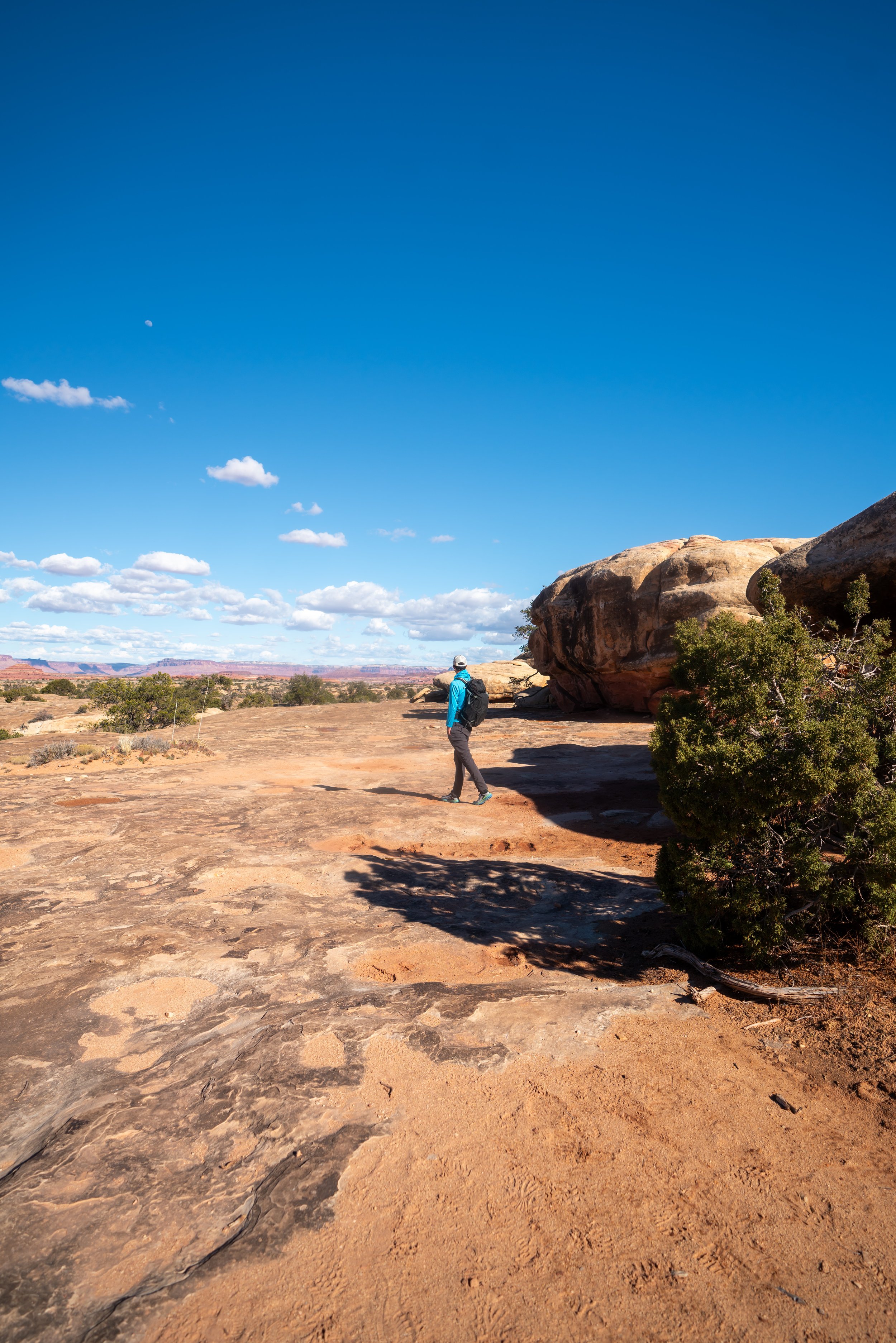
Once back on the Slickrock Trail, the remaining hike out to the furthest viewpoint tends to be the most vague to navigate.
However, as long as you’re hiking north toward the furthest point on the mesa you can see, you’re heading in the right direction.
Toward the end, the Slickrock Loop makes this hard left turn where the trail drops down.
This is where the loop trail splits, with the final spur that leads out to the fourth viewpoint.
Slickrock-Viewpoint 4 Junction
From the loop to the very end, there is only another 0.3 miles (0.5 km) to reach best viewpoint on the entire Slickrock Trail.
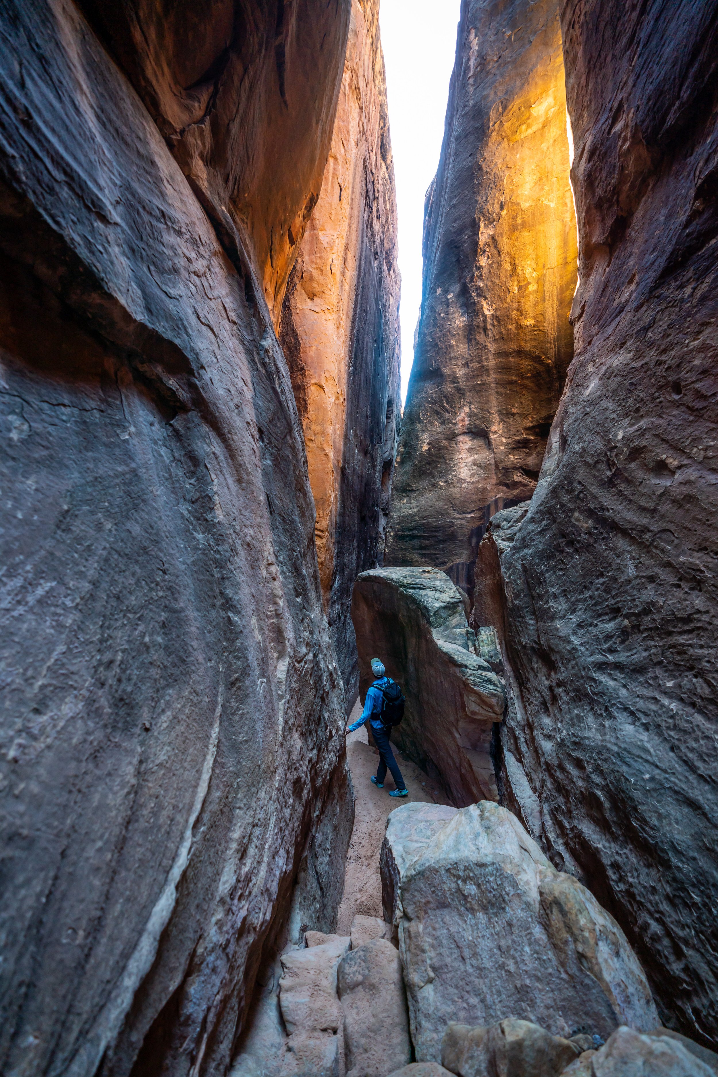
Toward the final viewpoint on the north end of the Slickrock Trail, the hike out to the end becomes the most vague of anywhere on the trail.
By this, I mean that you’ll likely hike straight out, reach a cliff, and have to turn back a few times before figuring out the best path to the end.
The best I can describe is: the trail near the end drops down to the right of the mesa, instead of heading straight to the north, as it may appear.
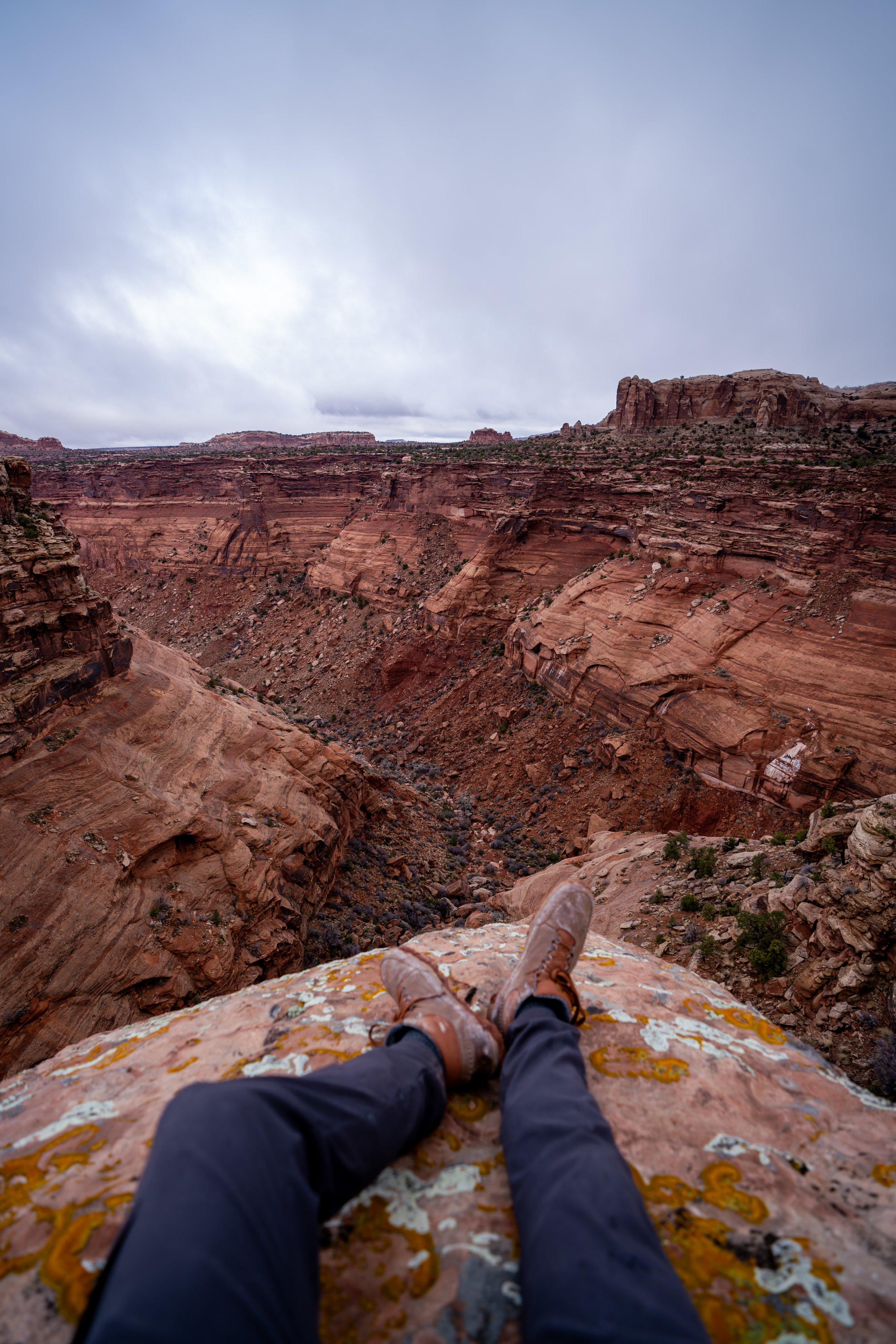
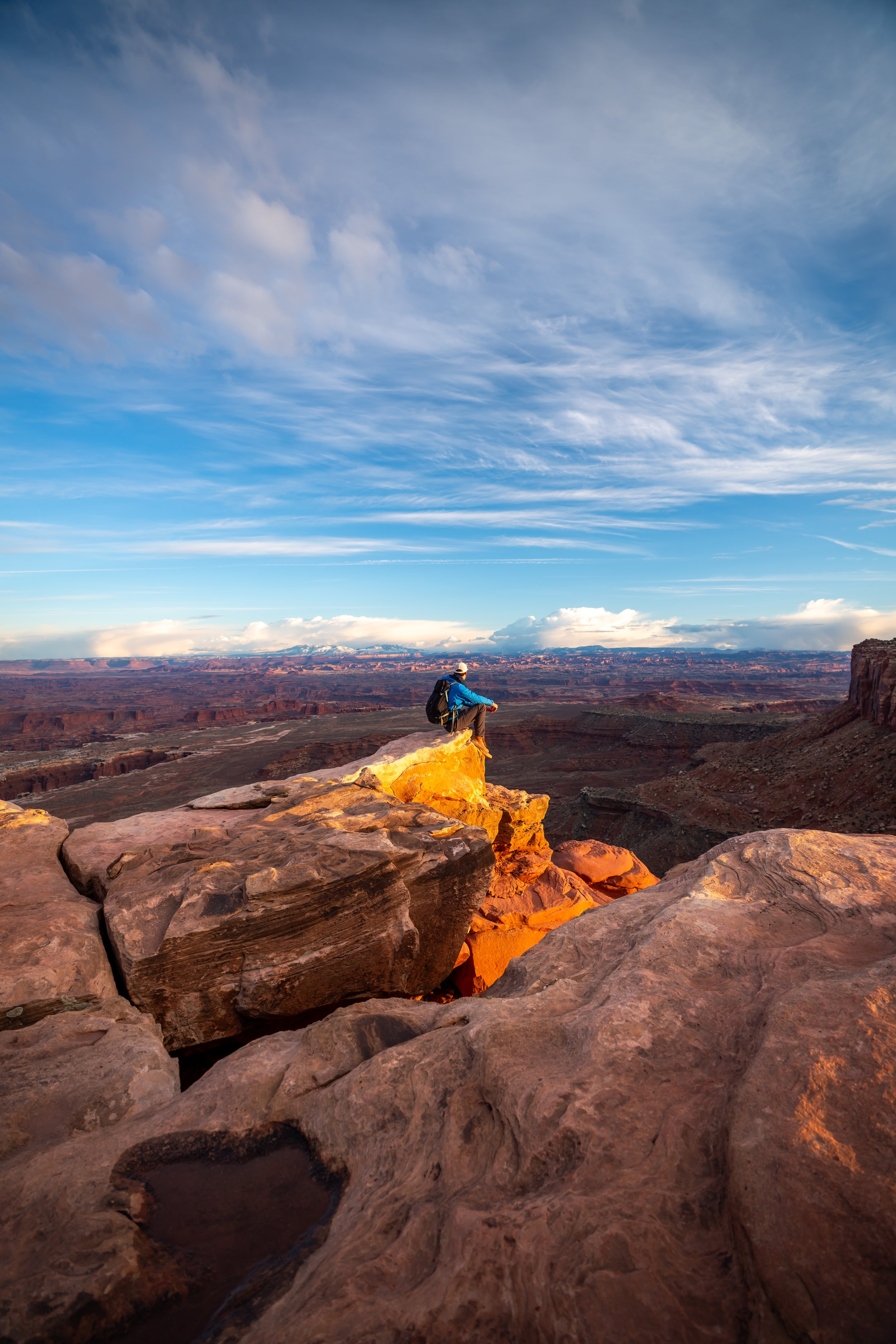
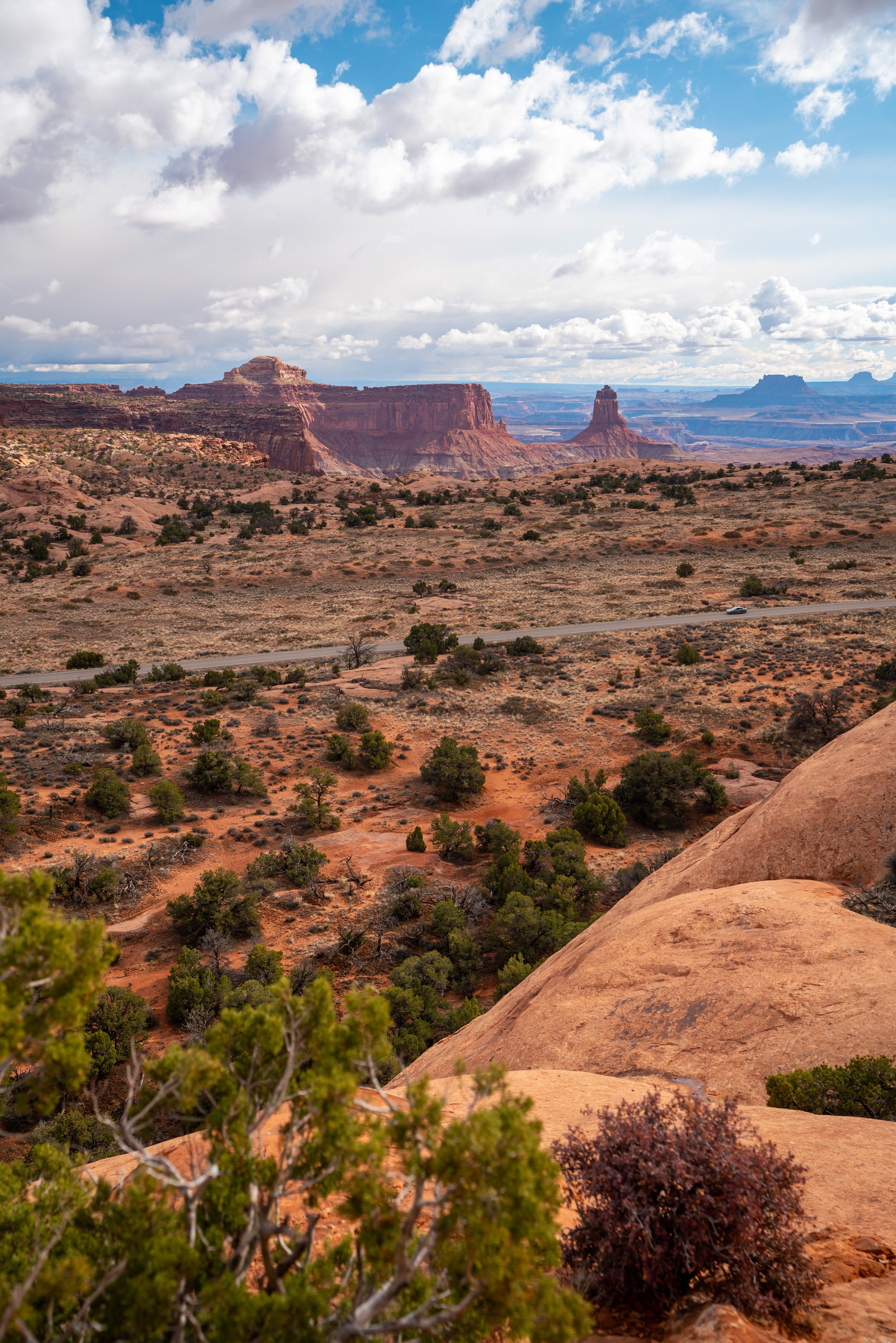
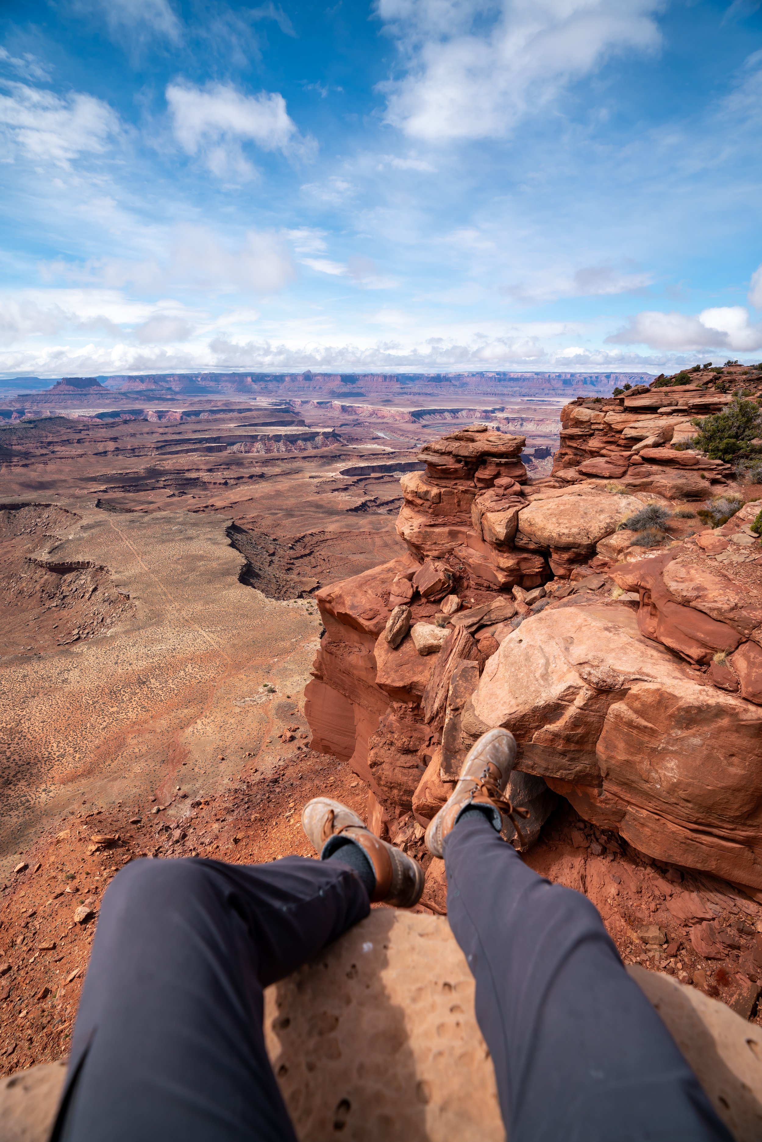
Viewpoint 4 (Big Spring Canyon)
The fourth and final viewpoint looks out over Big Spring Canyon, with the confluence located just beyond.
That said, it is possible to continue further along the mesa, as can be seen from the flat area that extends out in the photo below. However, I only recommend hiking that far for those with good scrambling skills and navigational awareness, in order to make it back to the Slickrock Trail safely.
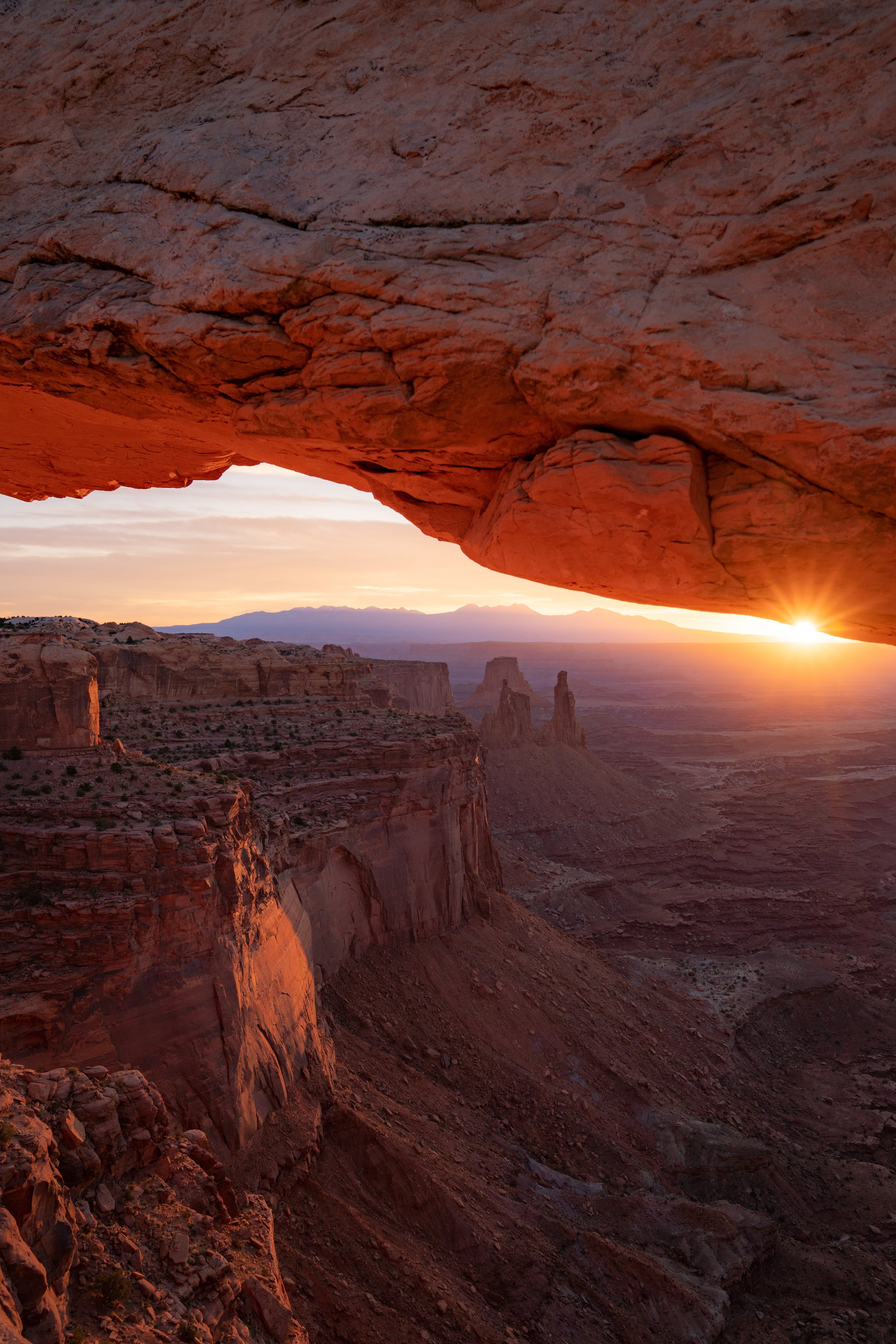
The two closest mesas that you can see off in the distance are the Island in the Sky and Junction Butte on the left. Specifically, this is the end of the Island in the Sky, where the Grand View Point Trail is located.
That said, I could not recommend the Grand View Point Trail any more highly, which I encourage you to learn more about in my separate article linked below.
Read My Separate Post: Grand View Point Trail
Slickrock-Viewpoint 4 Junction
Once back on the Slickrock Loop Trail, go right to continue on the shorter 0.5-mile (0.8 km) side of the loop back to the original loop split.
That said, this stretch from the fourth viewpoint junction to the trailhead is roughly 1.0 mile (1.6 km) in all.
Slickrock Loop Junction
Finally, from the start of the loop to the Slickrock Trailhead, the hike descends the mesa back to the beginning, located about 0.5 miles (0.8 km) away from this point.
Slickrock-Viewpoint 1 Junction
This is the same split in the trail from the first viewpoint shown earlier.
Slickrock Trailhead
Overall, the Slickrock Trail makes for a quick and easy day hike, so long as you’re not hiking in the hot summer heat!
I say this because there is next to no shade on the entire Slickrock Trail, which is why the hike is best explored during the fall, winter, and spring months.
This is all without saying that the Slickrock Trail does not pass through The Needles. In fact, one group I ran into was surprised that they didn’t see any of The Needles, being that it is the name of the district.
That said, I pointed them in the direction of Elephant Hill and the Chesler Park Loop, which I could not recommend any more for those interested in enjoying the best of what The Needles District has to offer!
Read My Separate Post: Chesler Park Loop Trail