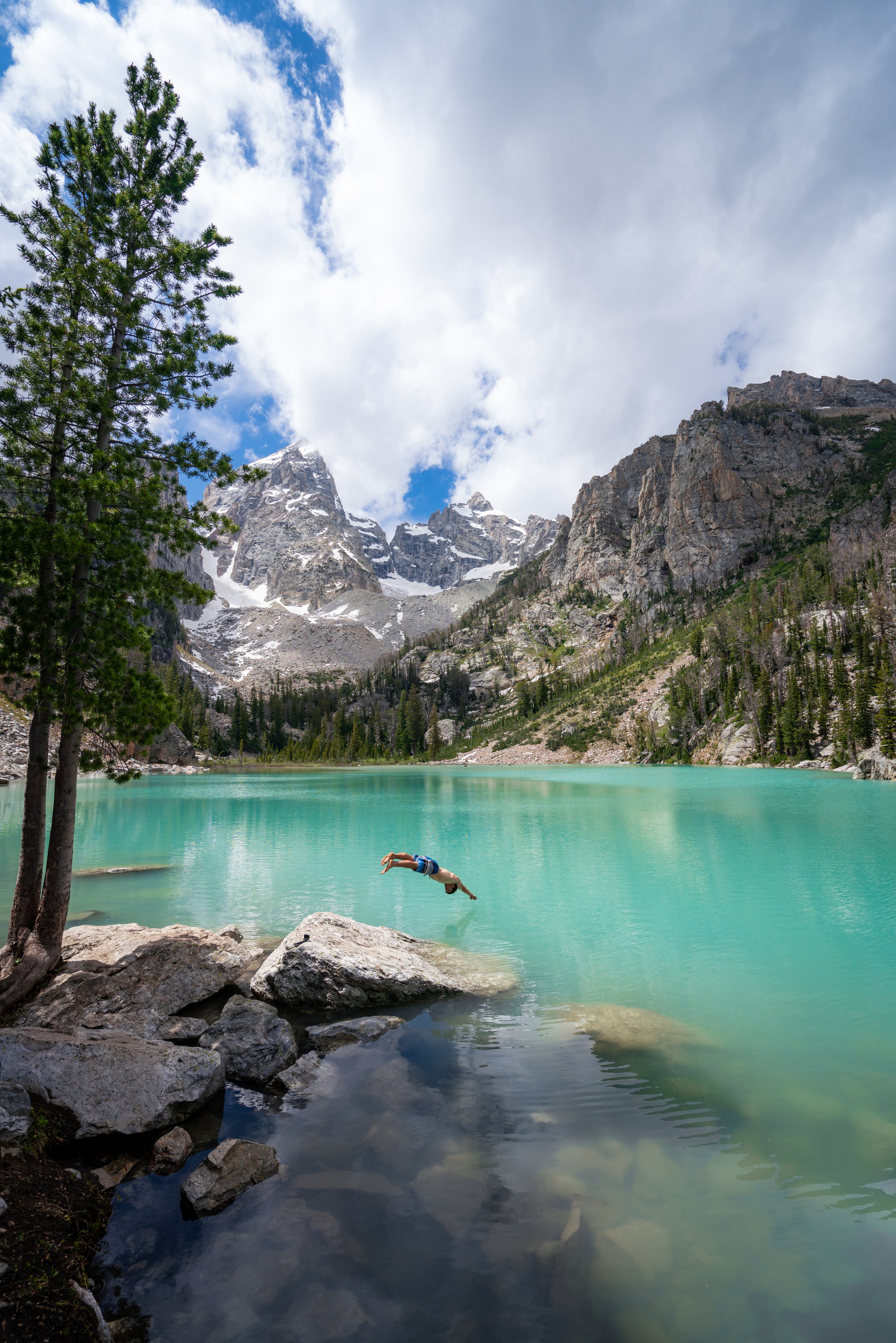
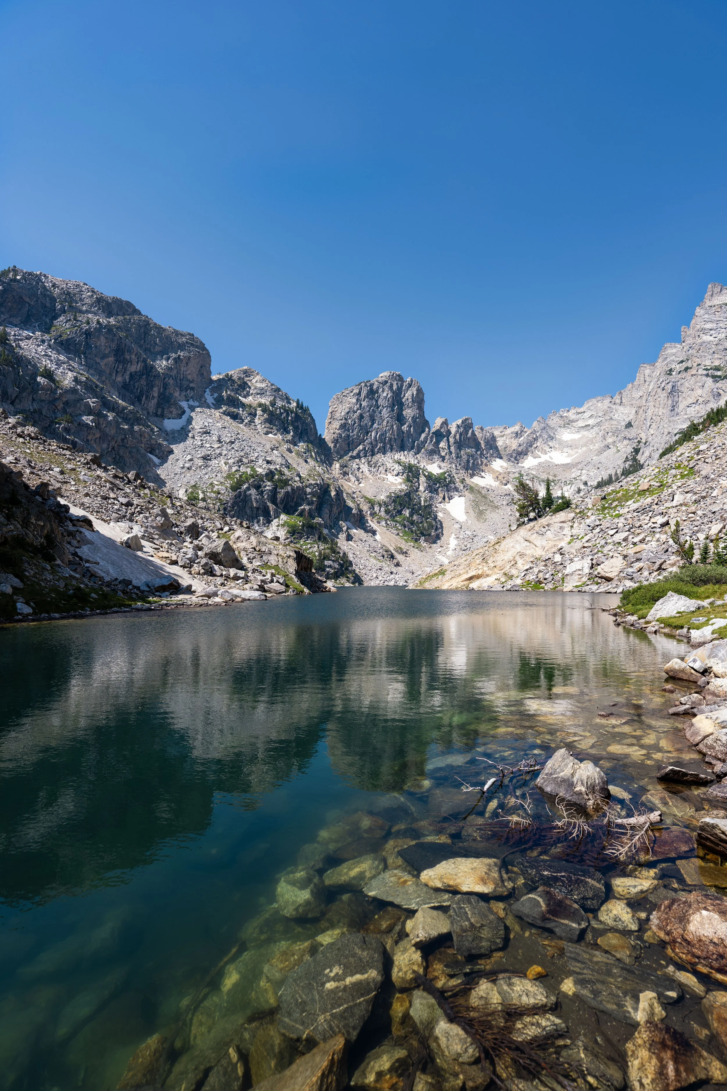
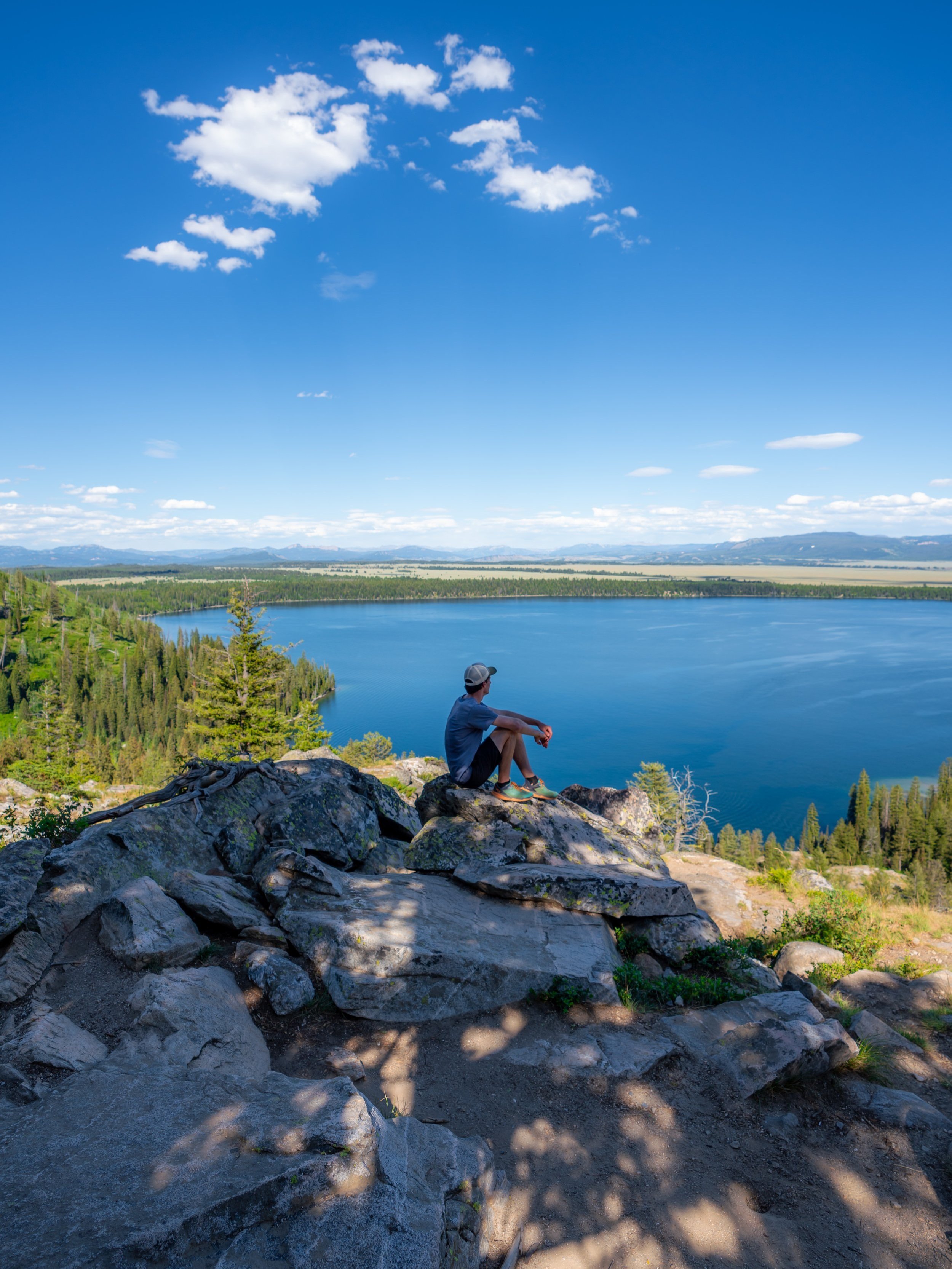
Hiking the Aspen–Boulder Ridge Loop Trail in Grand Teton National Park
Distance: 6.4 miles / 10.3 km
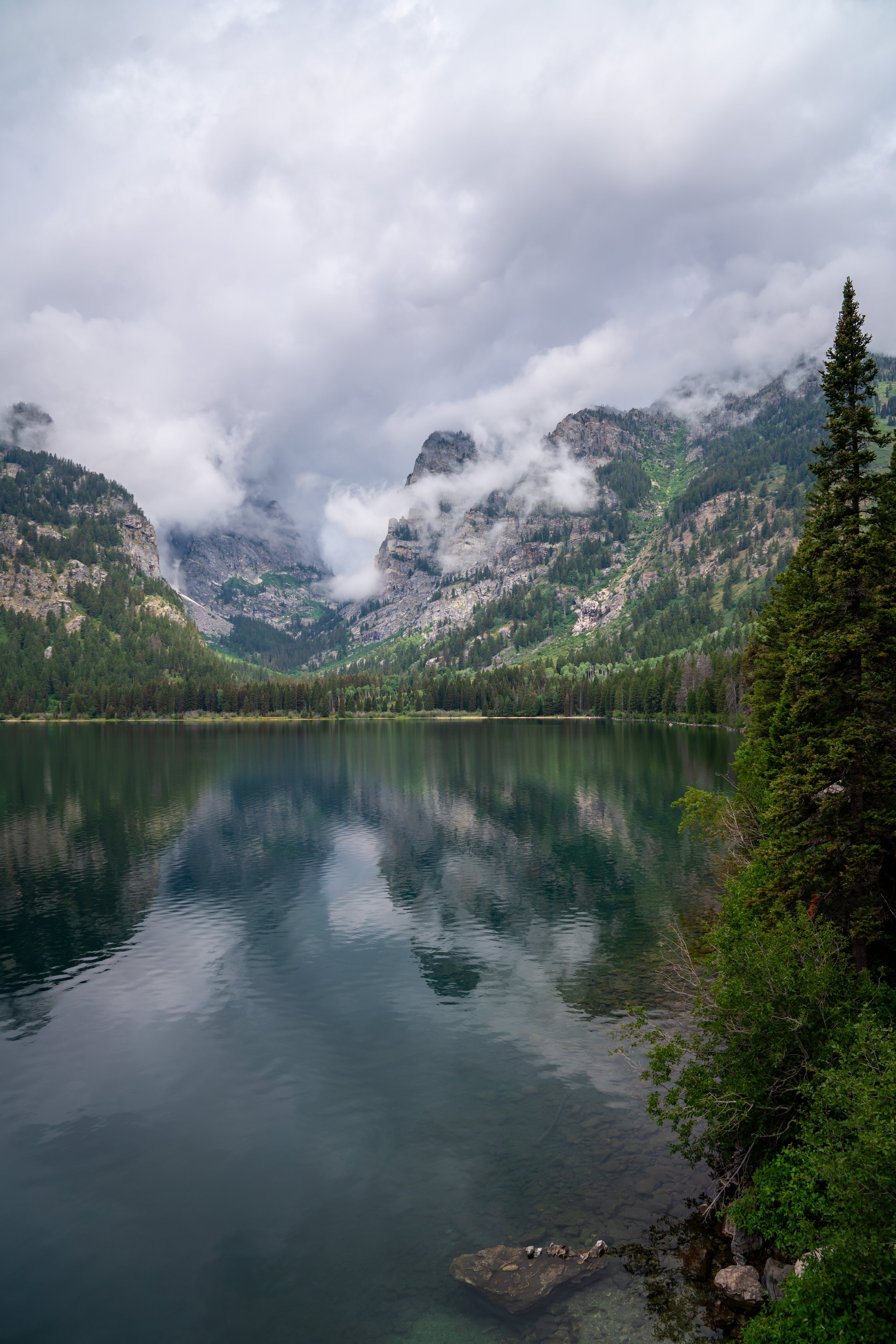
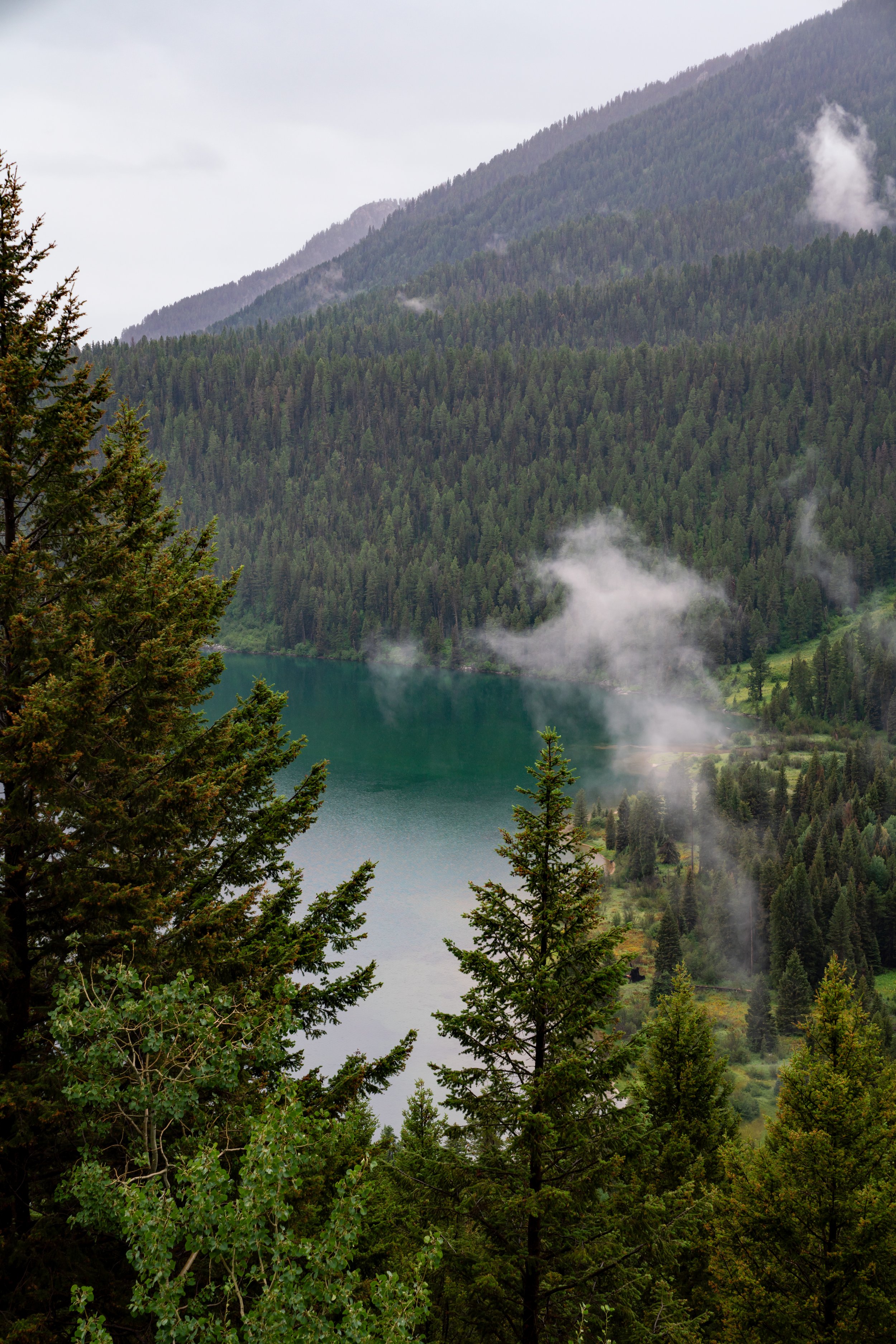
The Aspen–Boulder Ridge Loop Trail in Grand Teton National Park is a long, mostly forested day hike on the south side of Phelps Lake that combines both the Aspen Ridge Trail and the Boulder Ridge Trail into a single loop while utilizing parts of the beautiful Phelps Lake Loop Trail along the way!
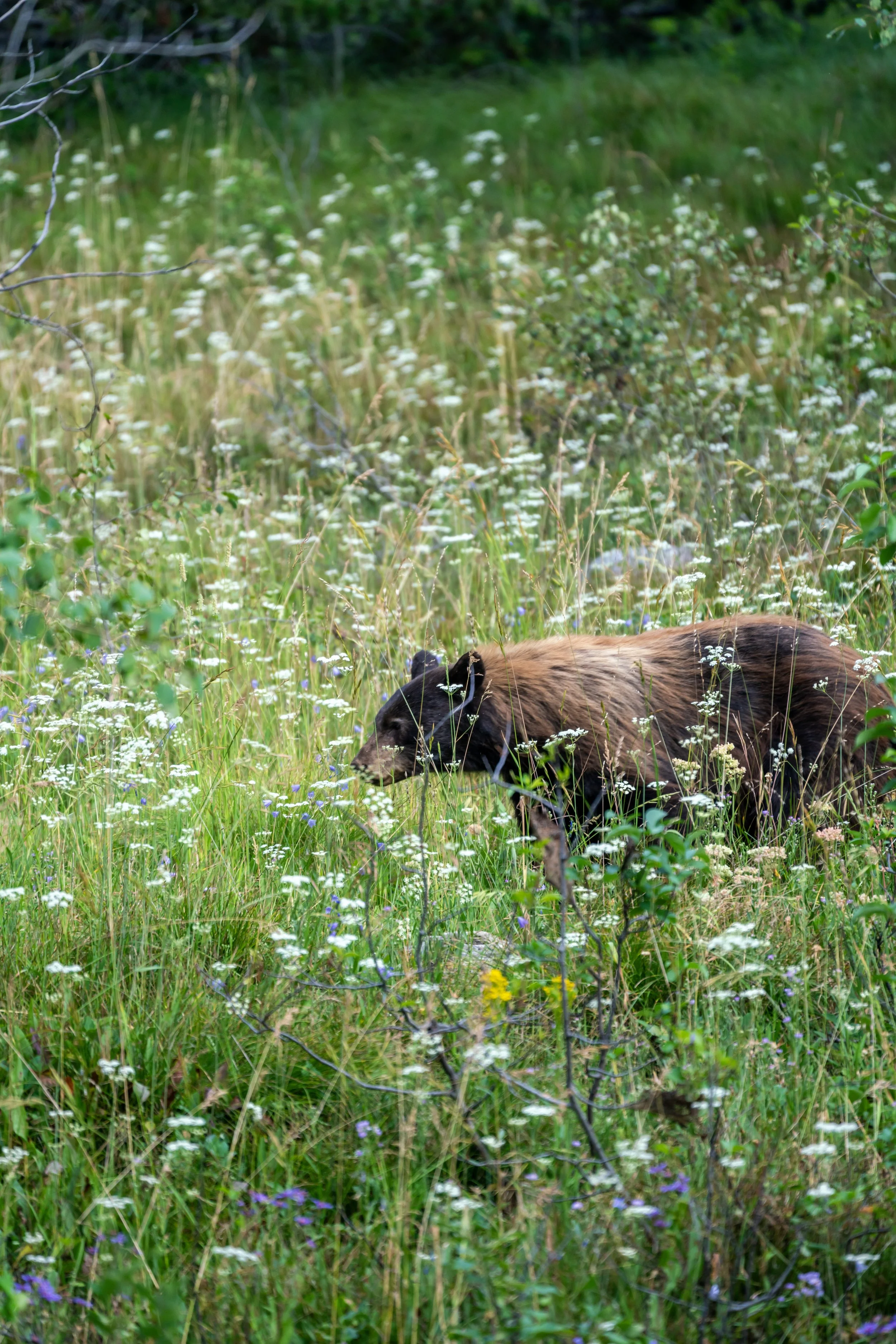
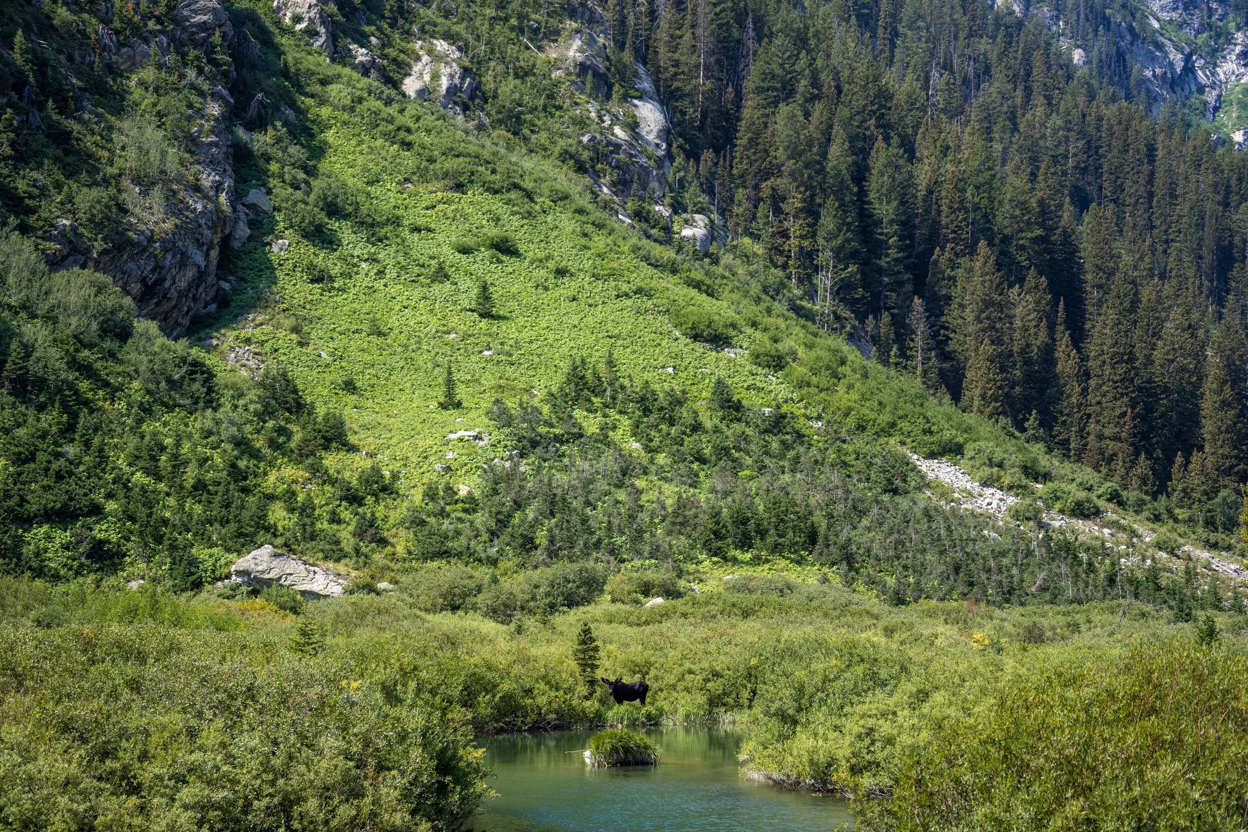
That said, the Aspen–Boulder Ridge Loop is best for those looking to get away from the crowds found throughout much of Grand Teton, and since it is such a quiet adventure, it is one of the best day hikes to look for wildlife—particularly Black Bears!
Now, if you were only interested in hiking one side of the combined loop, I recommend reading my separate section below, as I do believe one half is distinctly better!
Is the Aspen Ridge Trail or Boulder Ridge Trail Better?
For the most part, both trails are very similar in terms of the landscape they pass through.
However, I believe the Boulder Ridge Trail is the better of the two, and that’s not because it is significantly shorter than the Aspen Ridge Trail.
I say this because the Boulder Ridge Trail has a bit more variability than the Aspen Ridge Trail, including better views of Phelps Lake and a short but unique section through an optional Boulder Field.
On the other hand, the Aspen Ridge Trail is much more as you’d expect an entirely forested hike to be, as the views are somewhat limited until Phelps Lake, though it is still a great trail to hike for potential wildlife encounters—especially on a moody, rainy day in the park!
Aspen–Boulder Ridge Loop Trailhead Parking
Parking for the Aspen–Boulder Ridge Loop Trail is located at the Laurance S. Rockefeller Preserve Trailhead on the south side of Phelps Lake.
That said, the Laurance S. Rockefeller Preserve (LSRP) has an extremely small parking lot, and parking is illegal on Moose–Wilson Road for miles in either direction of the preserve.
This is why it is important to arrive at or before sunrise in order to find parking. Alternatively, visiting late in the afternoon or early evening can also be a good option, as there tends to be more turnover late in the day.
Google Maps Directions: Aspen–Boulder Ridge Loop Trailhead (LSRP)
Hiking Checklist - Yellowstone–Tetons
Here is a complete list of must-have things that you will want for any hike in the Yellowstone–Teton area.
Hiking the Aspen–Boulder Ridge Loop Trail
The beginning of the Aspen–Boulder Ridge Loop Trail is a short 0.1-mile (0.2 km) path between the parking lot and the Laurance S. Rockefeller Preserve.
This is where you’re most likely to see a line of cars waiting for a spot, which begins forming very early in the morning and is why I recommend arriving at or before sunrise.
Laurance S. Rockefeller Preserve Center
When the path reaches the Laurance S. Rockefeller Preserve Center, hikers can go in either direction toward the trailhead, but I recommend going left because it feels slightly more direct.
Laurance S. Rockefeller Preserve Trailhead
After a short walk from the point where the path first met the visitor center, go straight to continue hiking the Lake Creek Trail toward the start of the true Aspen–Boulder Ridge Loop Trail.
After about 0.1 miles (0.2 km) since leaving the LSRP, the Lake Creek Trail comes to two back-to-back splits, the first being the Lake Creek Overlook, and the second being a small waterfall.
That said, go right, then left to stay on the Lake Creek Trail toward Phelps Lake.
Lake Creek Overlook
This is the Lake Creek Overlook to the left of the split shown above.
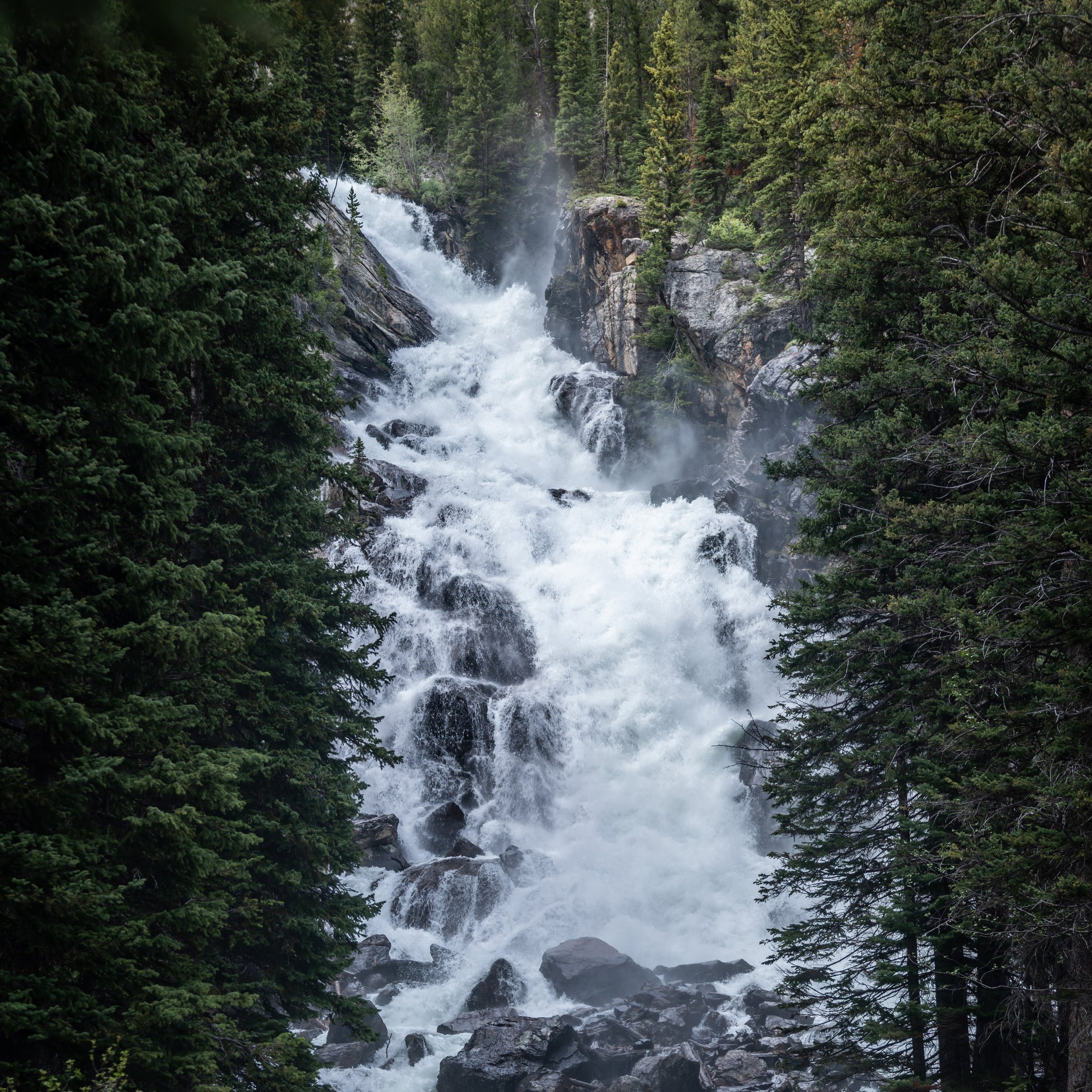
This is the short waterfall to the right of the split shown below.
After both side trails, the Lake Creek Trail continues for another 0.1 miles (0.2 km) to the junction with the Woodland Trail.
Lake Creek-Woodland Junction
After just 0.3 miles (0.5 km), the Lake Creek Trail reaches the start of the Woodland Trail.
This is often seen as the start of the Phelps Lake Loop since it is very common to take one trail to the start of the loop and another on the way back to the LSRP.
That said, the most common route to the start of the Aspen–Boulder Ridge Loop Trail is the Woodland Trail because it is shorter by about 0.1 miles (0.2 km) each way.
Read My Separate Post: Phelps Lake Loop Trail
Regarding my thoughts above, I chose to go right to begin hiking the Woodland Trail toward Phelps Lake and the start of the Aspen–Boulder Ridge Loop Trail.
I think it’s important to mention that I have never not had a bear encounter when hiking in the Phelps Lake area, with every encounter I’ve had to date being Black Bears.
However, you never know what you might see, which is why it’s important to be prepared for both Black Bears and Grizzlies, including knowing how to identify the difference between the two.
Moose–Wilson Road
This is where the Woodland Trail crosses Moose–Wilson Road, and while it may seem obvious to look out for cars, the real danger is actually bicyclists who often ride very fast along this stretch!
After Moose–Wilson Road, there is roughly 0.3 miles (0.5 km) until the Woodland Trail reaches the start of the Aspen–Boulder Ridge Loop Trail.
Boulder Ridge-Woodland Junction
This is where the Woodland Trail finally reaches the start of true Aspen–Boulder Ridge Loop, roughly 0.8 miles (1.3 km) from the trailhead.
That said, Boulder Ridge Trail continues in both directions from this point, with the Boulder Field located to the right of this junction.
However, I typically prefer to hike the full loop in the clockwise direction because it is the fastest way to get away from the much busier Phelps Lake Loop Trail and into sections where looking for wildlife—and having an encounter—is much more likely.
Read My Separate Post: Phelps Lake Loop Trail
Regarding my thoughts above, I chose to go left in the clockwise direction toward the Lake Creek junction, about 0.4 miles (0.6 km) away.
This is the very short section between the Woodland Trail and the Lake Creek Trail.
Lake Creek
This is where the Aspen–Boulder Ridge Loop Trail crosses Lake Creek for the first of two times, the other being along the Phelps Lake Loop Trail at the Phelps Lake Outlet.
Boulder Ridge-Aspen Ridge-Lake Creek Junction
After just 0.4 miles (0.6 km) since leaving the Woodland Trail and beginning the Aspen–Boulder Ridge Loop, the Boulder Ridge Trail ends and the Aspen Ridge Trail begins.
This is also where the loop crosses the Lake Creek Trail, which often treated as the return side of the loop when completing the beautiful loop around Phelps Lake.
In any case, go straight at this next junction to begin the Aspen Ridge Trail and one of the quietest and least-trafficked sides of the entire 6.4-mile (10.3 km) loop.
Read My Separate Post: Phelps Lake Loop Trail
Similar to the beginning of the loop, this next stretch is the very short section between the Lake Creek Trail and Old JY Ranch Road, a road formerly part of a large ranch that has since turned into a service road now used by the National Park Service.
South Aspen Ridge-Old JY Ranch Road Junction
After about 0.2 miles (0.3 km) from the previous junction, the Aspen–Boulder Ridge Loop crosses Old JY Ranch Road.
Once again, go straight at this junction to continue on the Aspen Ridge Trail and begin the quietest, westernmost side of the full loop.
For the next 2.2 miles (3.5 km), the Aspen Ridge Trail traverses countless rolling hills as it winds its way through a mixed Lodgepole Pine–Aspen forest before reaching the Phelps Lake Loop Trail.
This is the section I’ve continually mentioned as one of the least-trafficked parts of the entire hike, as day hikers seldom visit Phelps Lake for the Aspen–Boulder Ridge Loop, meaning trail runners are typically the only ones who venture out in this direction.
This is why the full loop can be a great place to look for wildlife in Grand Teton National Park, but be sure to hike prepared, including knowing how to tell the difference between a Black Bear and a Grizzly.
What is Old JY Ranch?
Old JY Ranch refers to an early-1900s-era dude ranch on the south side of Phelps Lake that once occupied much of the land now surrounding the Laurance S. Rockefeller Preserve.
Established in the early 1900s, the ranch later became a private retreat for the Rockefeller family before the property was eventually transferred to Grand Teton National Park in various parcels until all was under the jurisdiction of the National Park Service in 2007.
Today, nearly all of the original ranch buildings are gone, but a few remnants remain, including old access roads such as Old JY Ranch Road mentioned above.
This is where the Aspen Ridge Trail begins, paralleling Kaufmann Creek on the southwestern side of the loop, close to the Kaufmann Creek Trail on the other side.
The one thing about looking for wildlife in such a quiet stretch of forest is that I always say you’re more likely to hear a bear before you see it.
This obviously isn’t true if you’re hiking in a group and talking along the way, but if you are quiet, bears make a lot of noise! They certainly aren’t graceful animals, as they breathe heavily, tear into logs with their claws looking for food, and even walk straight through dense brush.
I write all this because, in my experience, finding bears has always been more about hearing them first, though I’m certainly not endorsing being quiet, as the National Park Service encourages hikers to make noise so bears know you are there.
This is where the Aspen Ridge Trail sharply turns away from Kaufmann Creek to begin working its way back north toward Phelps Lake.
Since there are so many rolling hills on the full Aspen–Boulder Ridge Loop Trail, some hikers may want to bring trekking poles, which can certainly be useful on countless different steep hikes across the Teton Range, such the Surprise and Amphitheater Lakes Trail, to name one of many!
According to the National Park Service, Oregon Grapes are considered edible, though the taste is very tart and not often preferred as much as Rubus berries found throughout Grand Teton National Park.
This is where I happened to pass the Sage-Grouse hen shown in the cover photos above.
I mention this because, if you happen to walk right by a nest, as I did here and have many times before, don’t be surprised if the hen starts hissing at you, chasing you, and walking away from the area.
It’s a defensive behavior in an attempt to keep predators away from their nest.
This meadow is a nice sign that the Phelps Lake portion of the loop is not far ahead!
North Aspen Ridge-Old JY Ranch Road Junction
With about 0.25 miles (0.4 km) to go before the Aspen–Boulder Ridge Loop reaches the Phelps Lake Loop, the Aspen Ridge Trail again meets the same Old JY Ranch Road it first crossed shortly after the Lake Creek junction.
That said, go left at this split to continue hiking the Aspen–Boulder Ridge Loop toward Phelps Lake, as the trail to the right simply heads south toward Moose–Wilson Road.
Aspen Ridge-Restroom Junction
With just a few steps to go before reaching the Phelps Lake Loop, the Aspen Ridge Trail passes another split, this time for a path that leads directly to the restroom on the south side of Phelps Lake.
Once again, go left at this split, and the Aspen Ridge Trail will officially end shortly ahead.
Aspen Ridge-Phelps Lake Loop Junction
This is where the Aspen Ridge Trail officially comes to an end, and the Aspen–Boulder Ridge Loop utilizes a short portion of the Phelps Lake Loop Trail to connect back to the Boulder Ridge Trail on the southeast side of the lake.
Once here, go right to begin hiking the Phelps Lake Loop Trail along the southernmost shoreline, which is typically the busiest section of the entire 6.4-mile (10.3 km) hike.
Read My Separate Post: Phelps Lake Loop Trail
Phelps Lake Loop-Lake Creek Junction
Then, just steps after beginning the Phelps Lake Loop Trail, the Aspen–Boulder Ridge Loop passes another junction.
This is where the Lake Creek Trail splits away and begins working its way back toward Moose–Wilson Road and the Laurance S. Rockefeller Preserve shortly thereafter.
This is also where most day hikers leave the Phelps Lake Loop Trail, meaning this next 0.2-mile (0.3 km) stretch between the Lake Creek Trail and the Woodland Trail is not often hiked by those making their way around Phelps Lake.
All that to say, go straight at this junction to continue hiking the Aspen–Boulder Ridge Loop toward the Boulder Ridge junction on the southeast side of Phelps Lake.
Read My Separate Post: Phelps Lake Loop Trail
This short 0.2-mile (0.3 km) section between the Lake Creek Trail and the Woodland Trail has some of the best views of Phelps Lake—and some of the best views on the entire hike!
North Phelps Lake Loop-Restroom
Shortly before the Phelps Lake Loop crosses Lake Creek, the Aspen–Boulder Ridge Loop Trail passes a second connection with the same restroom mentioned previously.
At this split, go left to continue hiking around the south side of Phelps Lake toward Lake Creek and the Woodland Trail just beyond.
South Phelps Lake Loop-Restroom
This is the third, final, and closest time the Aspen–Boulder Ridge Loop passes a short side trail that leads to the restroom on the south side of Phelps Lake.
Once here, go straight, and the Phelps Lake Loop Trail will cross Lake Creek just around the corner.
Phelps Lake Outlet (Lake Creek)
This is where the Phelps Lake Loop Trail crosses the Phelps Lake Outlet, which is also the very beginning of Lake Creek.
On a different note, I have seen Black Bears hanging out around this bridge in the past, but I’m sure that’s not an indicator of any kind, as they may truly be anywhere in Grand Teton National Park—especially around Phelps Lake, as I have seen on countless adventures in the area over the years!
After the Phelps Lake Outlet, there is just over 0.1 miles (0.2 km) to go before the Phelps Lake Loop Trail reaches the Woodland junction.
Phelps Lake Loop-Woodland Junction
This is where the Aspen–Boulder Ridge Loop Trail once again meets the Woodland Trail, which is typically the route most hikers choose to take on the way from the LSRP to the Phelps Lake Loop, as it is the most direct route to the Phelps Lake Jumping Rock on the east side.
That said, go straight at this junction to continue hiking the Phelps Lake Loop Trail toward the Boulder Ridge junction on the southeast side, about 0.1 miles (0.2 km) away.
Read My Separate Post: Phelps Lake Loop Trail
Boulder Ridge-Phelps Lake Loop Junction
After about 0.3 miles (0.5 km) on the Phelps Lake Loop Trail, the Aspen–Boulder Ridge Loop Trail finally branches away, this time beginning the Boulder Ridge half once again.
At this split, go right to continue hiking the Aspen–Boulder Ridge Loop toward the Boulder Field, the section that I believe is one of the best parts of the entire loop!
Read My Separate Post: Phelps Lake Loop Trail
Immediately after leaving the Phelps Lake Loop, the Boulder Ridge Trail starts climbing up and away from the shoreline, which, again, is one of many examples of constant elevation changes throughout the full loop and why some hikers may want to bring trekking poles.
When the Boulder Ridge Trail reaches the top of the initial hill, the trail levels out significantly as it winds its way over to the optional Boulder Field Trail shortly ahead.
North Boulder Ridge-Boulder Field Junction
After 0.5 miles (0.8 km) since leaving the Phelps Lake Loop Trail, the Boulder Ridge Trail finally reaches the junction for the optional hike through the Boulder Field.
Personally, I recommend going right on the short 0.2-mile (0.3 km) trail through the Boulder Field because it offers some variability when much of the Aspen–Boulder Ridge Loop looks the same.
Either way, I have both routes shown below. Simply use the link below to skip ahead or read to the end to see the optional Boulder Field Trail that branches away from the true Boulder Ridge Trail shown first.
To skip ahead to the optional Boulder Field Trail, click here.
This is where the Boulder Ridge Trail continues around the outer loop by going straight at the junction shown above.
Whether you decide to hike the Boulder Ridge Trail or the optional Boulder Field Trail, the difference is only 0.05 miles (0.08 km) between the two, which is why I believe it should come down to personal preference regarding what route looks more fun based on these photos.
South Boulder Ridge-Boulder Field Junction
This is where the Boulder Ridge Trail passes the southern connection with the trail through the Boulder Field.
If you decided to hike the outer loop, as shown above, go straight at this split to continue hiking back to the Woodland Trail from the very beginning.
After the Boulder Field, there isn’t much to say about the hike back to the beginning of the Aspen–Boulder Ridge Loop.
The Boulder Ridge Trail simply traverses a few minor hills before completing the loop, located roughly 0.6 miles (1.0 km) from the previous Boulder Field junction.
Boulder Ridge-Woodland
This is where the Aspen–Boulder Ridge Loop Trail completes the 4.8-mile (7.7 km) loop and returns to the Woodland Trail, where the loop first began after leaving the Laurance S. Rockefeller Preserve at the beginning of this article.
Once here, go left to return to the LSRP, about 0.8 miles (1.3 km) from this junction.
North Boulder Ridge-Boulder Field Junction
If you decide to go right on the Boulder Ridge Trail to begin the hike through the Boulder Field, this is the short, 0.2-mile (0.3 km) optional trail that I recommend following instead of the 0.25-mile (0.4 km) route around the outer loop shown above.
This short uphill section is as steep as the Boulder Field Trail ever gets!
There is nothing particularly challenging about the hike through the Boulder Field.
It’s simply a nice change of pace from everything experienced up to this point!
South Boulder Ridge-Boulder Field Junction
This is where the Boulder Field Trail returns to the Boulder Ridge Trail at the southern junction.
If you decided to hike the optional Boulder Field Trail, as just shown, go right at this split to continue hiking back to the Woodland Trail and the beginning of the Aspen–Boulder Ridge Loop.
To skip back to this same junction shown above, click here.