Hiking the Phelps Lake Loop Trail & Cliff Jumping Rock in Grand Teton National Park
Distance: 6.6 miles / 10.6 km
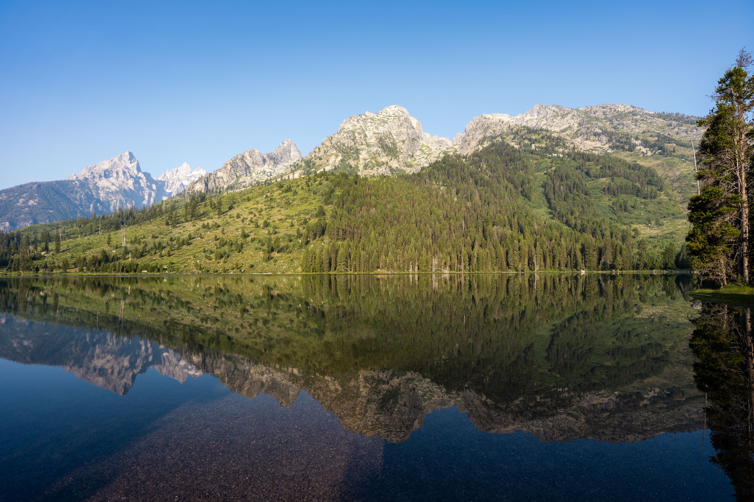
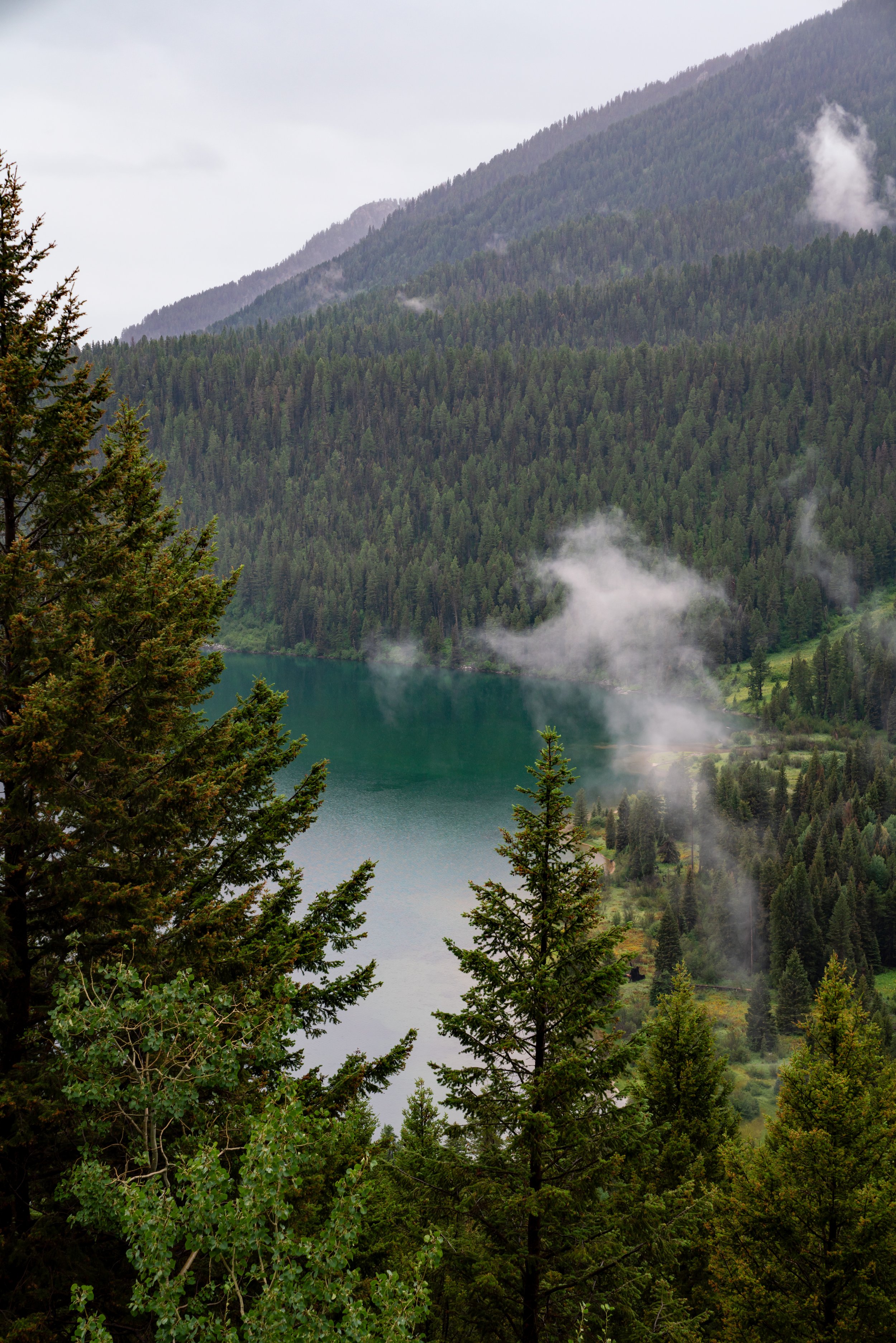
The Phelps Lake Loop Trail in Grand Teton National Park is a long but very easy loop around the entirety of Phelps Lake, where visitors can enjoy a beautiful and relatively quiet hike without the crowds that countless other areas of the park attract!
Now, I think it’s important to emphasize the word quiet when talking about the Phelps Lake Loop Trail, which is both a blessing and a curse at the same time!
By this, I mean that parking at the Phelps Lake Trailhead is the single most difficult place to find parking in Grand Teton National Park. This means that if you don’t arrive early—either at or before sunrise—I’d say forget about it!
It’s not that you can’t wait, as many visitors opt to do, but is it really worth sitting in your car idling for one of the very few spots to open up at the trailhead? I see it all the time, and personally, it just seems like a good way to waste time when you should be out enjoying the beautiful National Park!
What all this hopefully says is: get up early! If you’re not planning to start the Phelps Lake Loop Trail by sunrise or before during the busiest and most beautiful summer travel months, I would not plan to visit again until late in the evening, when turnover in the very small parking lot at the trailhead is a bit more common.
How Long is the Phelps Lake Loop Trail?
Since many hikers only explore parts of the full Phelps Lake Loop Trail, I’ve broken down each section to help you plan your adventure.
Note that the distances below are the sum of the Phelps Lake Loop Trail from the Laurance S. Rockefeller Preserve (LSRP), starting on the Woodland Trail and returning on the Lake Creek Trail.
Phelps Lake Loop Distances:
Phelps Lake Trailhead to the LSRP: 0.1 miles (0.2 km)
LSRP to the Phelps Lake Loop (Woodland): 1.1 miles (1.8 km)
Full Phelps Lake Loop Trail: 4.0 miles (6.4 km)
Part of Loop Actually Hiked: 3.8 miles (6.1 km)
Phelps Lake Loop (Woodland) to Phelps Lake Jumping Rock: 1.1 miles (1.8 km)
Phelps Lake Jumping Rock to Phelps Lake Beach: 0.5 miles (0.8 km)
Phelps Lake Beach to Death Canyon Junction: 0.3 miles (0.5 km)
Death Canyon Junction to Open Canyon Junction: 0.4 miles (0.6 km)
Open Canyon Junction to Huckleberry Point: 0.9 miles (1.4 km)
Huckleberry Point to Phelps Lake Loop (Lake Creek): 0.6 miles (1.0 km)
Phelps Lake Loop (Lake Creek) to LSRP: 1.5 miles (2.4 km)
Total Distance: 6.6 miles (10.6 km)
What is the Phelps Lake Cliff Jumping Rock?
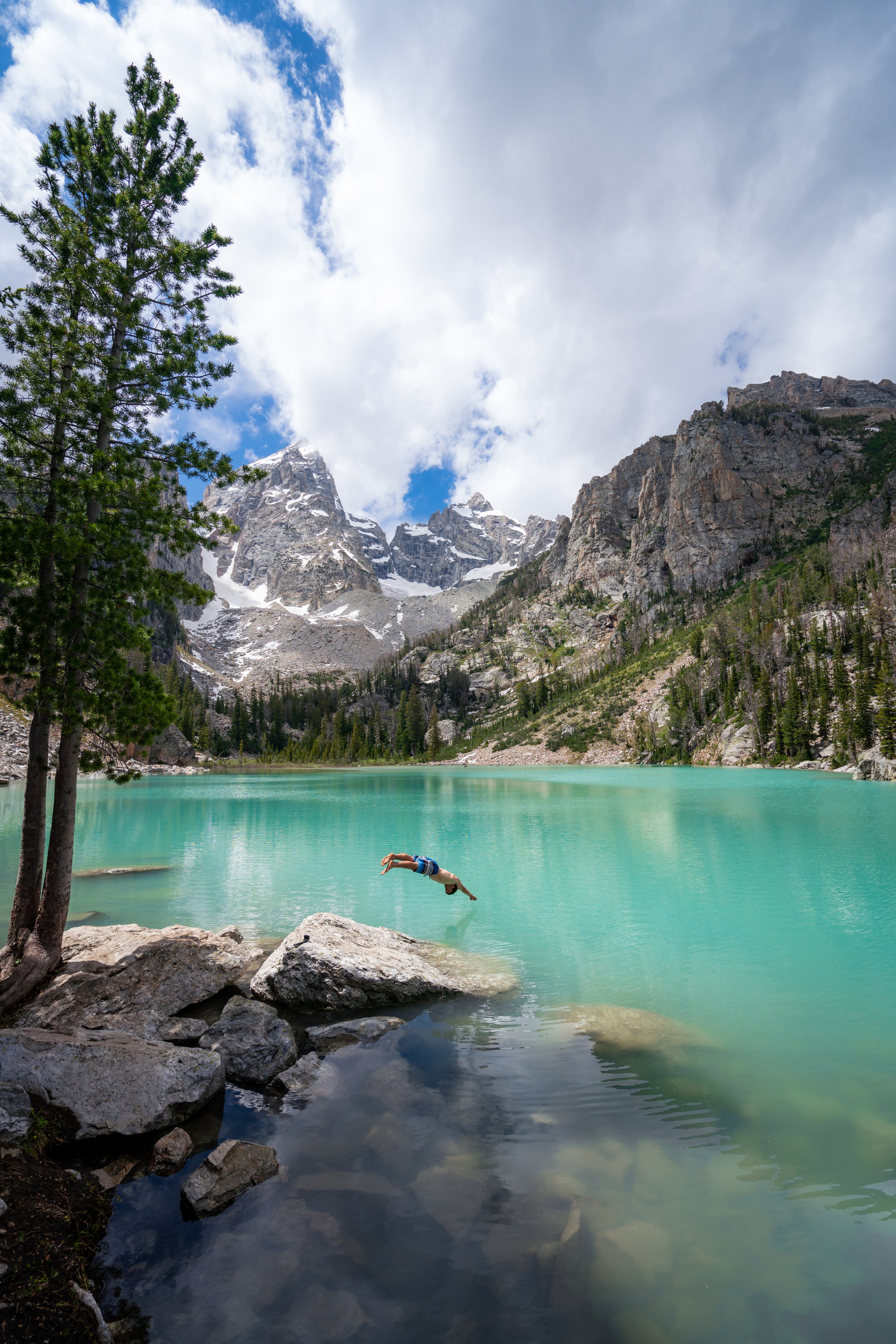
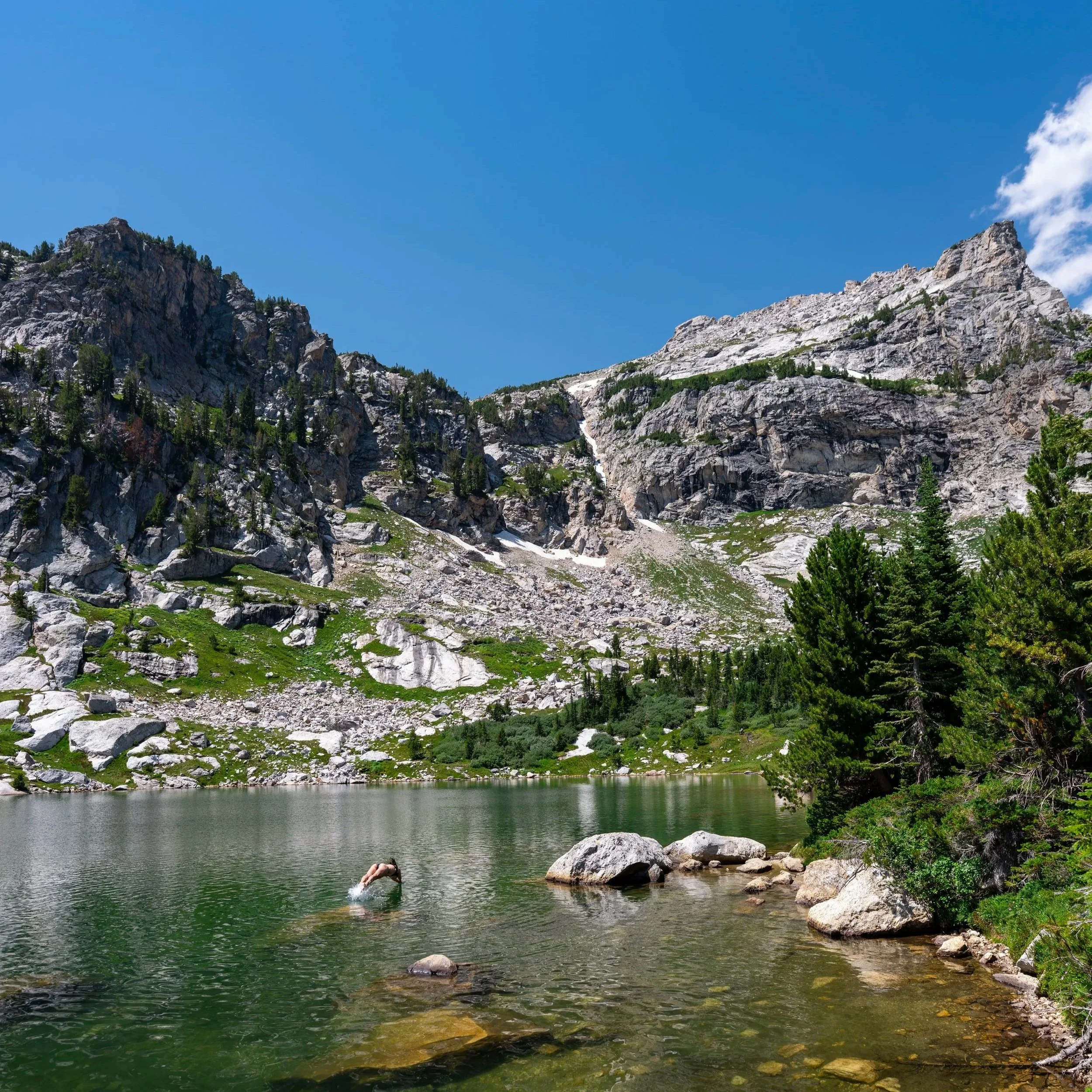
The Phelps Lake Cliff Jumping Rock is a prominent, roughly 20-ft. (6.1 m)-high rock on the east side of Phelps Lake that is renowned by both locals and visitors alike because it is a fun place to hang out, get some sun, and jump in the cool alpine waters of Phelps Lake on a hot summer day!
The rock is located about two-thirds of the way up the east side of Phelps Lake, or about 2.3 miles (3.7 km) from the LSRP.
As for the jump itself, the water is quite deep beneath the rock, but it’s important to actually commit to jumping out—don’t just step off and fall straight down!
This is all to say that the Phelps Lake Jumping Rock is one of the main reasons the Phelps Lake Loop Trail is such a popular day hike in Grand Teton National Park and a significant contributing factor to why parking at the Laurance S. Rockefeller Preserve has become such a challenge over the years.
Phelps Lake Loop Trailhead Parking
Parking for the Phelps Lake Loop Trail is located in one of two areas.
First, hikers can park at the Laurance S. Rockefeller Preserve Trailhead on the south side of Phelps Lake, or there is also the option to park at the newly constructed Death Canyon Trailhead.
That said, the newly constructed Death Canyon Trailhead is roughly 2.9 miles (4.7 km) from the start of the loop near Death Canyon Creek on the northern end, which is why the Laurance S. Rockefeller Preserve is by far the most preferred trailhead, as it’s only 1.2 miles (1.9 km) from the start of the loop via the Woodland Trail.
The problem is that the Laurance S. Rockefeller Preserve has an extremely small parking lot, and parking is illegal on Moose–Wilson Road for miles in either direction of the preserve.
This is why I previously mentioned at the beginning that, in order to find parking, arriving at or before sunrise is imperative. Alternatively, visiting late in the afternoon or early evening can also be a good option, as there tends to be more turnover late in the day.
Google Maps Directions: Phelps Lake Loop Trailhead (LSRP) / Phelps Lake Loop Trailhead (Death Canyon)
Hiking Checklist - Yellowstone–Tetons
Here is a complete list of must-have things that you will want for any hike in the Yellowstone–Teton area.
Hiking the Phelps Lake Loop Trail
The beginning of the Phelps Lake Loop Trail is a short 0.1-mile (0.2 km) path between the parking lot and the Laurance S. Rockefeller Preserve.
This is where you’re most likely to see a line of cars waiting for a spot, which begins forming very early in the morning and is why I recommend arriving at or before sunrise.
Laurance S. Rockefeller Preserve Center
When the path reaches the Laurance S. Rockefeller Preserve Center, hikers can go in either direction toward the trailhead, but I recommend going left because it feels slightly more direct.
Laurance S. Rockefeller Preserve Trailhead
After a short walk from the point where the path first met the visitor center, go straight to continue hiking the Lake Creek Trail toward the start of the true Phelps Lake Loop Trail.
After about 0.1 miles (0.2 km) since leaving the LSRP, the Lake Creek Trail comes to two back-to-back splits, the first being the Lake Creek Overlook, and the second being a small waterfall.
That said, go right, then left to stay on the Lake Creek Trail toward Phelps Lake.
Lake Creek Overlook
This is the Lake Creek Overlook to the left of the split shown above.
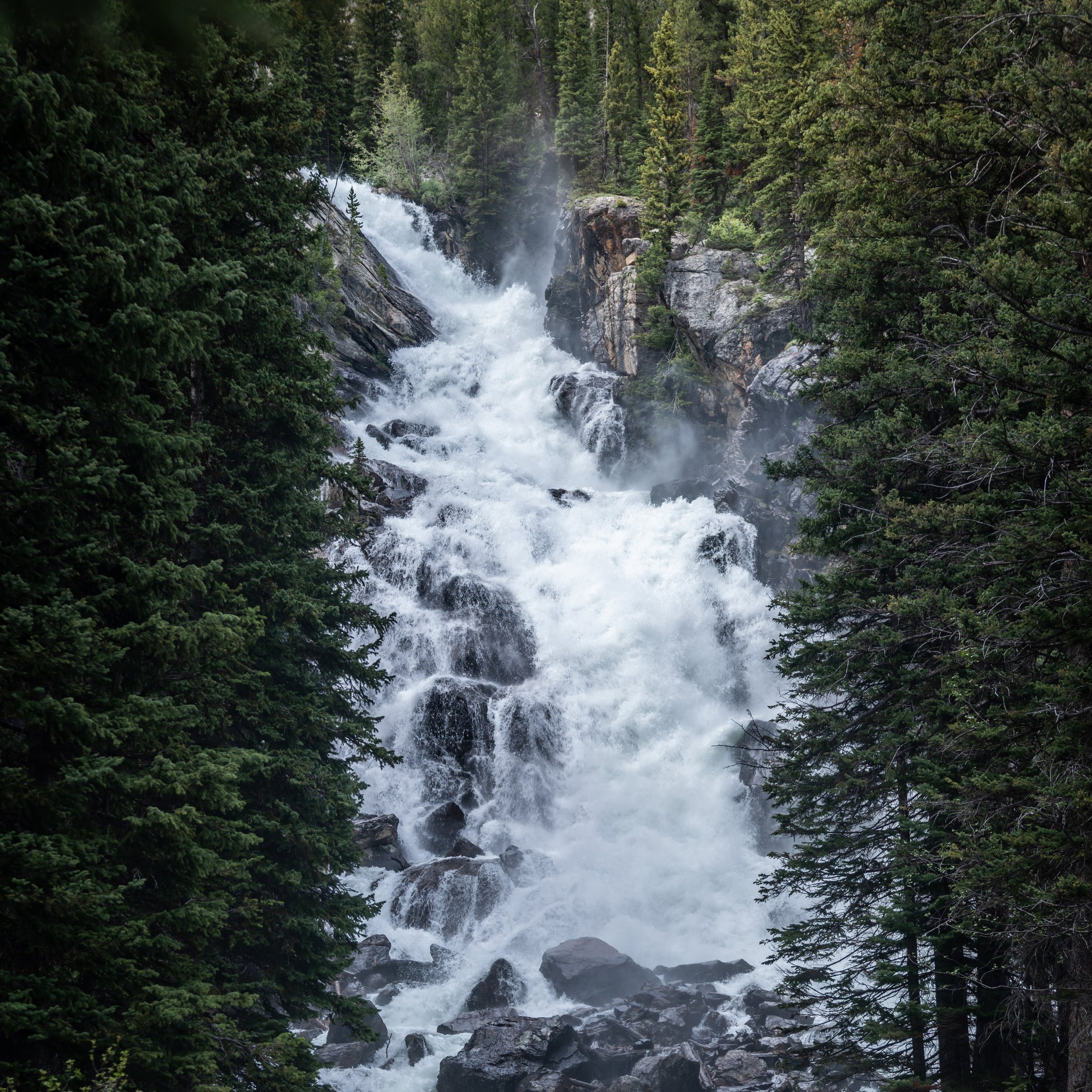
This is the short waterfall to the right of the split shown below.
After both side trails, the Lake Creek Trail continues for another 0.1 miles (0.2 km) to the junction with the Woodland Trail.
Lake Creek-Woodland Junction
After just 0.3 miles (0.5 km), the Lake Creek Trail reaches the start of the Woodland Trail.
This is often seen as the start of the Phelps Lake Loop since it is very common to take one trail to the start of the loop and another on the way back to the LSRP.
That said, the most common route to the start of the Phelps Lake Loop Trail is the Woodland Trail because it is shorter by about 0.4 miles (0.6 km) and, as a result, is a more direct route to the Phelps Lake Jumping Rock on the east side.
Regarding my thoughts above, I chose to go right to begin hiking the Woodland Trail toward Phelps Lake.
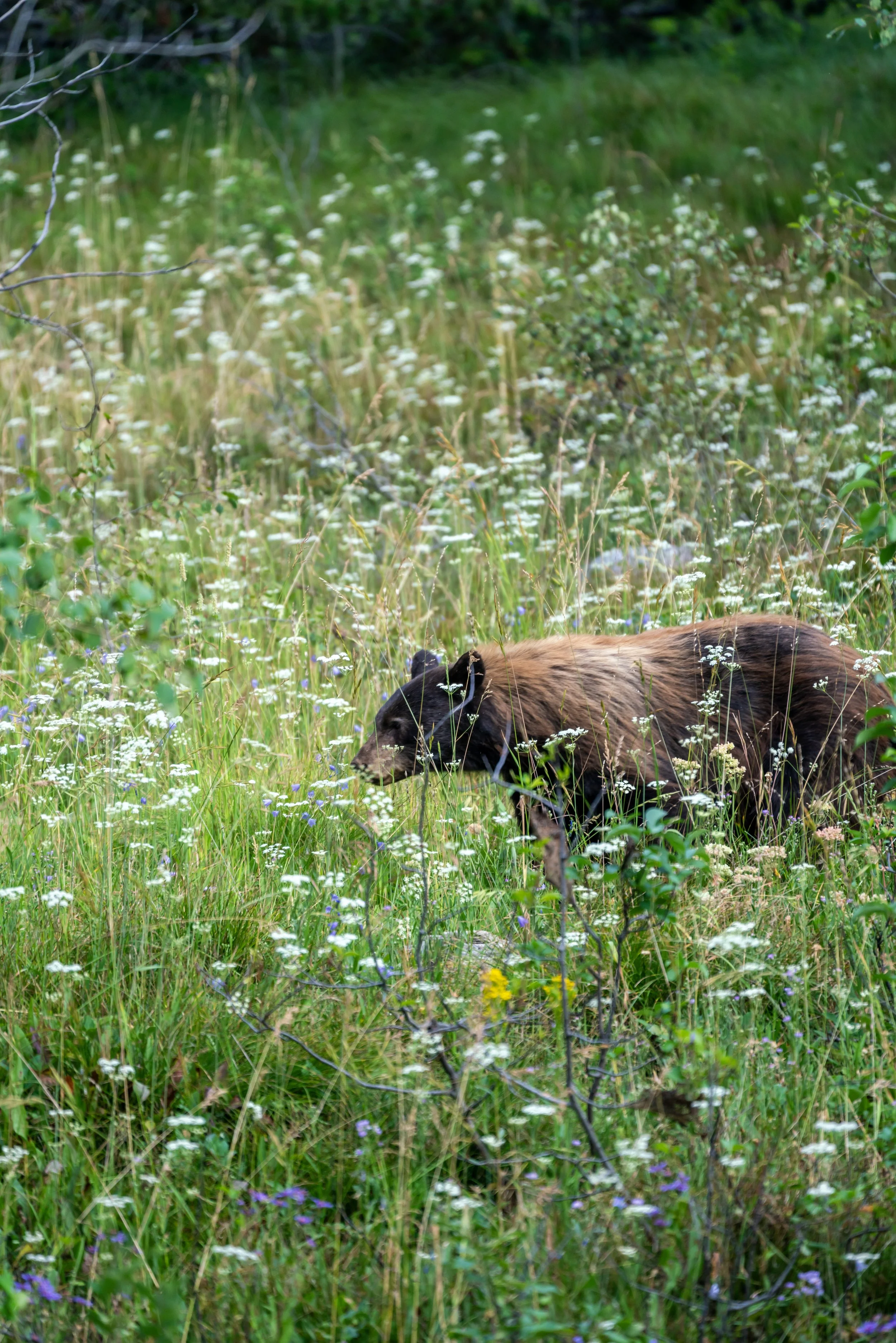
I think it’s important to mention that I have never not had a bear encounter when hiking the Phelps Lake Loop Trail, with every encounter I’ve had to date being Black Bears.
However, you never know what you might see, which is why it’s important to be prepared for both Black Bears and Grizzlies, including knowing how to identify the difference between the two.
Moose–Wilson Road
This is where the Woodland Trail crosses Moose–Wilson Road, and while it may seem obvious to look out for cars, the real danger is actually bicyclists who often ride very fast along this stretch!
After Moose–Wilson Road, there is roughly 0.3 miles (0.5 km) until the Woodland Trail reaches the Aspen–Boulder Ridge Loop, and 0.7 miles (1.1 km) to the start of the true Phelps Lake Loop Trail.
Woodland-Boulder Ridge Junction
This is where the Woodland Trail crosses the Aspen–Boulder Ridge Loop, the same loop that the Lake Creek Trail crosses on the way back to the LSRP, roughly 0.8 miles (1.3 km) from the trailhead.
That said, go straight at this split to continue hiking toward the start of the Phelps Lake Loop, about 0.4 miles (0.6 km) away.
Read My Separate Post: Aspen–Boulder Ridge Loop Trail
Phelps Lake Loop-Woodland Junction
After 1.2 miles (1.9 km), the Woodland Trail ends where the Phelps Lake Loop Trail begins.
Once here, there is the option to hike in either direction around Phelps Lake, but the most popular—by far—is to go right because it is the fastest route to the Phelps Lake Jumping Rock on the east side.
Regarding my thoughts above, I chose to go right in the counterclockwise direction around Phelps Lake.
On a different note, this beginning section on the Phelps Lake Loop Trail is also a very short stretch that is shared with the Aspen–Boulder Ridge Loop.
Phelps Lake Loop-Boulder Ridge Junction
After just 0.1 miles (0.2 km) on the Phelps Lake Loop Trail, the Boulder Ridge Trail branches away toward the Boulder Field before returning to the Woodland Trail at the junction shown above.
That said, the Aspen–Boulder Ridge Loop can be a great day hike if you’re more interested in a quiet trail away from the crowds to look for wildlife, but to stay on the Phelps Lake Loop toward the cliff-jumping rock, go left (straight) to continue along the shoreline.
Read My Separate Post: Aspen–Boulder Ridge Loop Trail
As the Phelps Lake Loop Trail works its way up the east side toward the jumping rock, there isn’t much to know, except that this is typically the busiest side of the entire loop.
This is why I highly recommend completing the full loop after enjoying the jumping rock, as there is truly nothing difficult about the hike around Phelps Lake. It just tends to be a long day outside.
Phelps Lake Loop-Wister Draw Junction
After roughly 0.5 miles (0.8 km) from the end of the Woodland Trail and the start of the Phelps Lake Loop, the trail passes a second side trail—this one typically used by those riding horses between the LSRP and here, though it is open to hikers too.
In any case, go straight to continue on the Phelps Lake Loop Trail toward the cliff-jumping rock, located just 0.6 miles (1.0 km) from this point.
Phelps Lake Cliff Jumping Rock (Warning)
After roughly 2.3 miles (3.7 km) since beginning the hike, the Phelps Lake Loop Trail finally reaches the Phelps Lake Cliff Jumping Rock!
Once again, I think it’s important to mention that jumping out and with confidence is generally the safest way to land from the roughly 20-ft. (6.1 m)-high rock, and be aware that bad falls have resulted in serious injuries here in the past.
After the Phelps Lake Jumping Rock, the number of hikers drops precipitously, which is why I believe it’s worth continuing farther and completing all 6.6 miles (10.6 km)—not to mention that Phelps Lake Beach is only another 0.5 miles (0.8 km) from the rock.
Phelps Lake Campsites (Campsite 3)
With about 0.2 miles (0.3 km) to go before the Phelps Lake Loop reaches Phelps Lake Beach on the northern end of the lake, the trail passes three separate campsites on the right-hand side.
All three campsites are reservable through Recreation.gov using the link below.
Book Here: Phelps Lake Backcountry Campsites
Campsite 2
In my opinion, I believe campsite two is the best because it is located roughly halfway between the beach to the north and the jumping rock to the south!
Campsite 1
Campsite 1 is the final and closest reservable campsite to Phelps Lake Beach.
Phelps Lake Beach
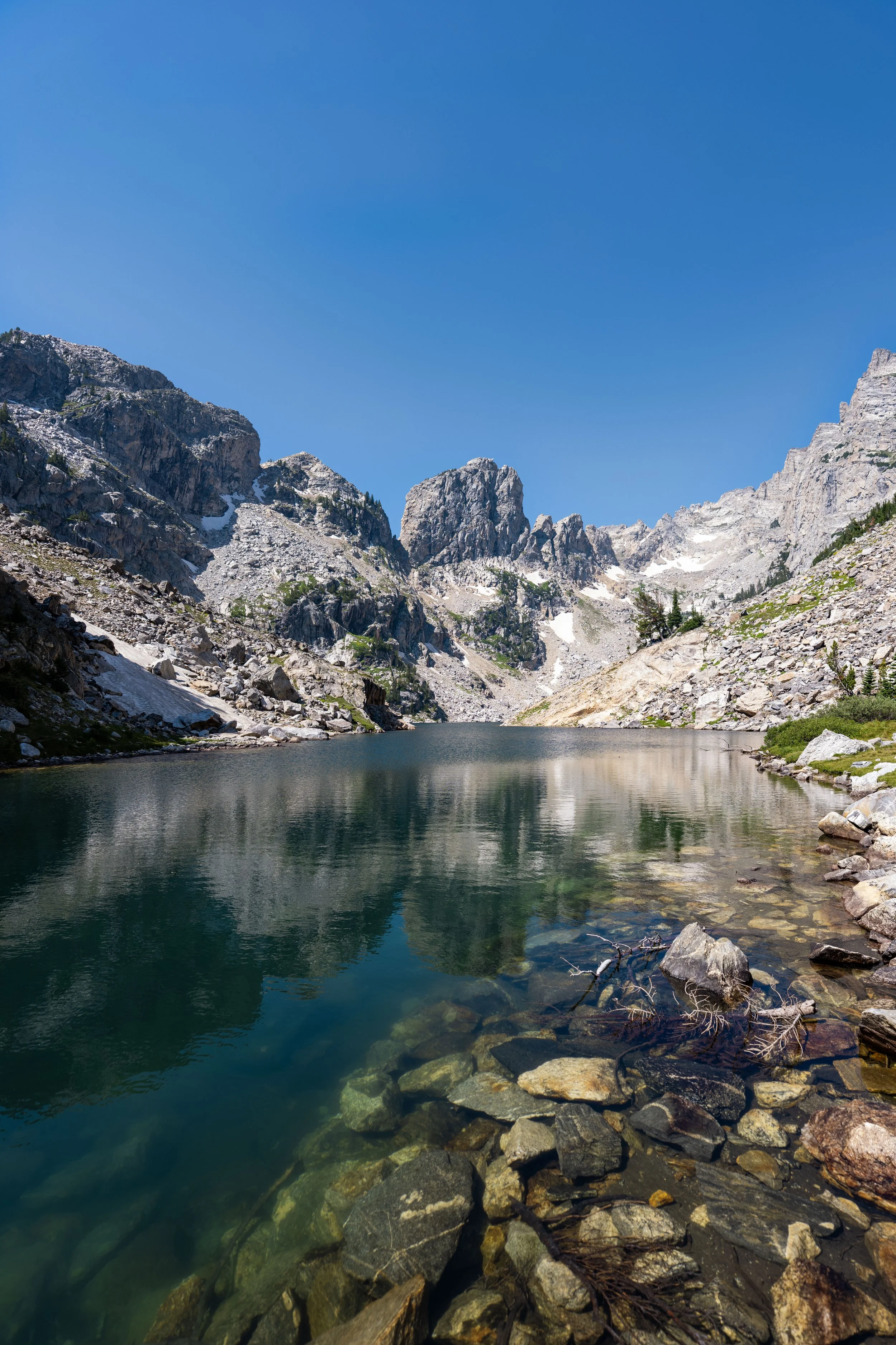
This is Phelps Lake Beach at the very far northern end of Phelps Lake, about 2.8 miles (4.5 km) from the trailhead when the Woodland Trail is taken to the start of the loop!
This is where the Phelps Lake Loop Trail leaves Phelps Lake Beach and begins heading toward the Death Canyon junction, about 0.3 miles (0.5 km) away.
Phelps Lake Loop-Death Canyon (Valley) Junction
This is where the Phelps Lake Loop Trail first passes the Valley Trail, which leads over to the start of the Death Canyon Trail and up the hill to the Phelps Lake Overlook.
This is also the alternative route for the Phelps Lake Loop Trail, but as previously mentioned, the newly relocated Death Canyon Trailhead is roughly 2.9 miles (4.7 km) from the start of the loop, compared to only 1.2 miles (1.9 km) from the LSRP on the Woodland Trail.
All that aside, go left at this split to continue hiking around Phelps Lake toward both Death Canyon Creek and Huckleberry Point beyond.
Read My Separate Post: Phelps Lake Overlook Trail
Death Canyon Creek
While the Death Canyon junction may feel like the halfway point, Death Canyon Creek is a bit more accurate as a mental halfway checkpoint around Phelps Lake.
Phelps Lake Loop-Open Canyon (Valley) Junction
Just as the loop starts working its way down the west side of Phelps Lake, the trail passes a second junction, where the Valley Trail splits away.
This is the Open Canyon junction, a route most commonly used by trail runners and backcountry hikers.
That said, go left at this split to continue along the shoreline around Phelps Lake toward both Huckleberry Point and the Lake Creek junction beyond.
This next stretch between the Open Canyon junction and Huckleberry Point is roughly 0.9 miles (1.4 km) total.
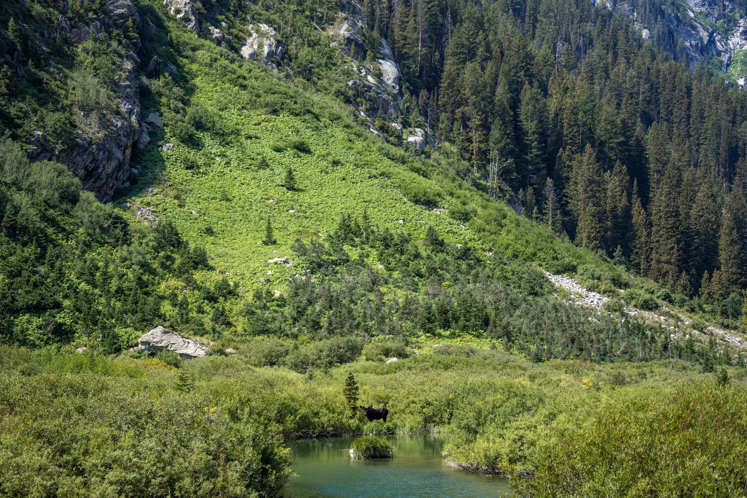
As previously mentioned, the west side of Phelps Lake is far less trafficked than the east side, which can make it a great place to look for Black Bears—at least in my experience!
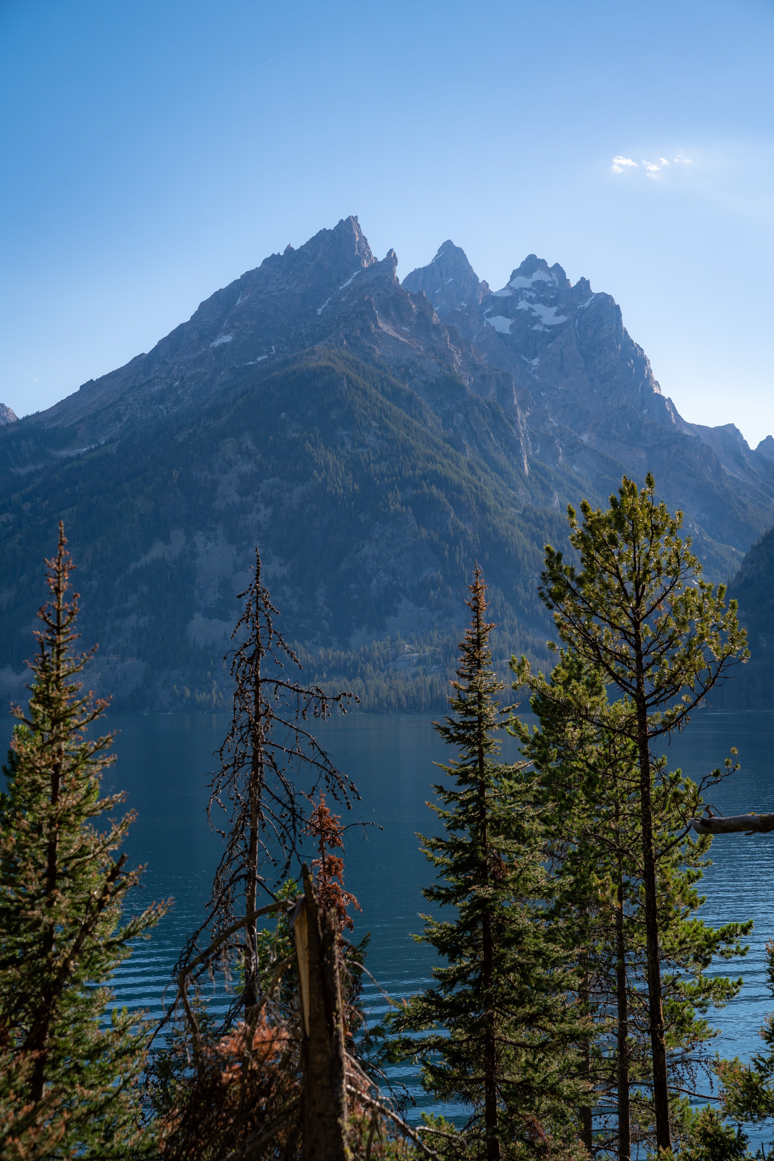
This is the view looking east across Phelps Lake at the cliff-jumping rock on the far side.
Even though there is quite a bit of shade on the Phelps Lake Trail, I still recommend wearing a hooded sun shirt, as 6.6 miles (10.6 km) around the full loop is inevitably a long day outside—not to mention it is much easier to burn at these higher elevations!
Phelps Lake Loop-Huckleberry Point Junction
With about 0.6 miles (1.0 km) to go before the Phelps Lake Loop returns to the beginning at the Lake Creek junction, the trail passes another side trail, this one leading to Huckleberry Point.
That said, I recommend leaving the loop to check out Huckleberry Point, as the view looking up toward Death Canyon is only 0.1 miles (0.2 km) away!
Huckleberry Point
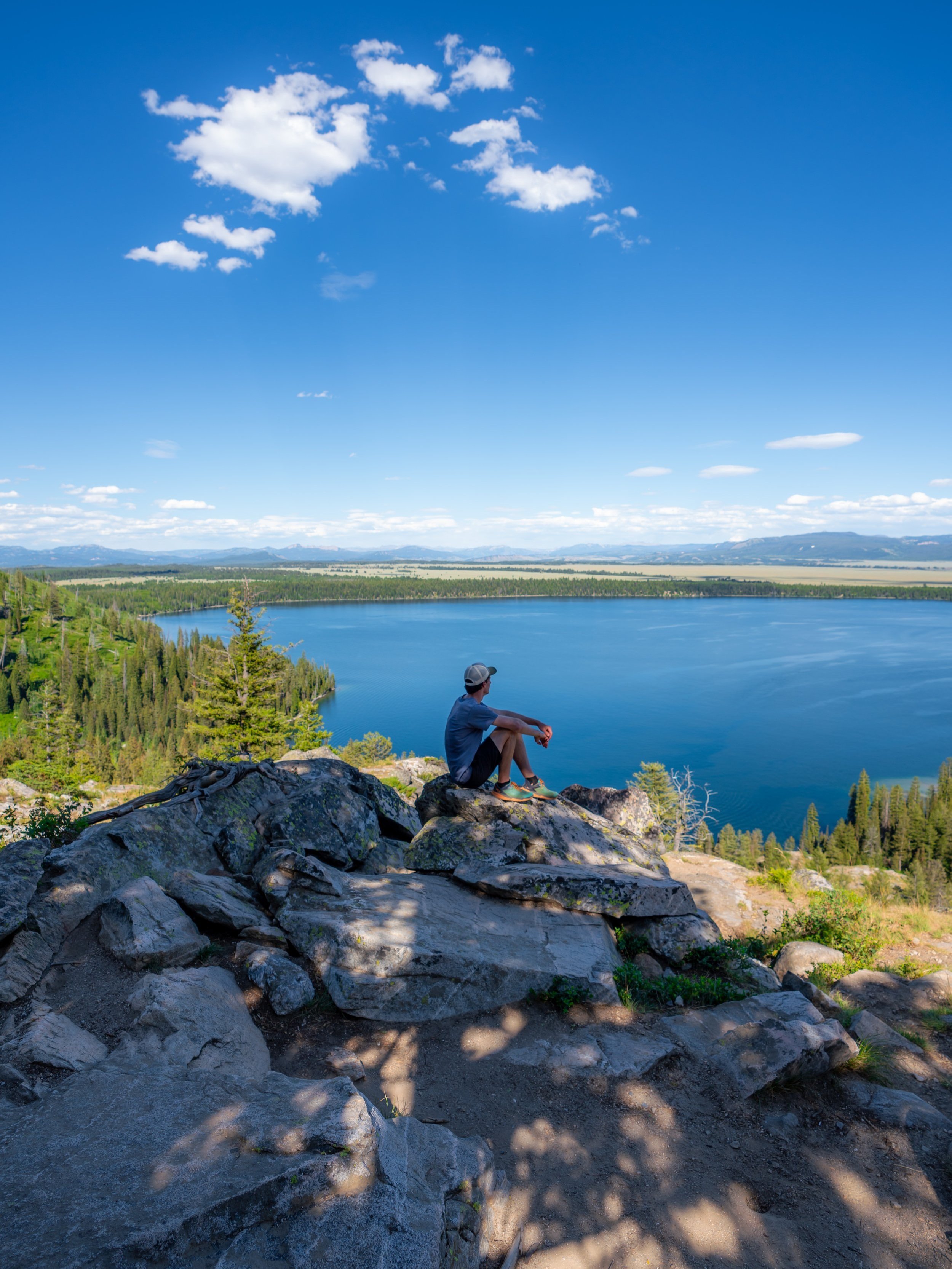
From Huckleberry Point, everything from Death Canyon, the beach at the northern end, and even the cliff-jumping rock can all be seen in the distance!
After Huckleberry Point, the Phelps Lake Loop typically starts to get busier once again, though it still doesn’t compare to the east side between the Woodland junction and the jumping rock.
When the Phelps Lake Loop reaches this raised walkway, there is less than 0.2 miles (0.3 km) to go before the Lake Creek Trail starts working its way back to the LSRP.
Phelps Lake Loop-Aspen Ridge Junction
Just steps before the Phelps Lake Loop reaches the Lake Creek junction, the trail passes another connection with the third of four connections with the Aspen–Boulder Ridge Loop.
Once here, go left, and the Phelps Lake Loop will return to the Lake Creek Trail just around the corner.
Read My Separate Post: Aspen–Boulder Ridge Loop Trail
Phelps Lake Loop-Lake Creek Junction
This is where the trail finally completes the loop around Phelps Lake, or at least the 3.8-mile (6.1 km) portion that most people hike.
If you were interested in finishing the full 4.0-mile (6.4 km) loop, go straight at this split to continue back to the Woodland Trail, which is the shortest route back to the LSRP by about 0.3 miles (0.5 km).
However, it is most common to go right and begin the Lake Creek Trail in order to take a different route back to the beginning.
Regarding my thoughts above, I chose to go right to begin the Lake Creek Trail.
Lake Creek-Restroom Junction
Shortly after starting the Lake Creek Trail, it passes the one and only restroom near Phelps Lake, as there is not another until the LSRP at the beginning.
In any case, go right once again to continue on the Lake Creek Trail back to the trailhead.
Similar to the west side of the Phelps Lake Loop, the Lake Creek Trail is typically quieter, since it is a less direct route between the trailhead and the jumping rock.
Lake Creek-Boulder–Aspen Ridge Loop Junction
With a little less than 0.9 miles (1.4 km) before the trail returns to the LSRP, the Phelps Lake Loop passes the fourth and final junction with the Aspen–Boulder Ridge Loop.
That said, go straight at this split to continue hiking back to Moose–Wilson Road and the LSRP beyond.
Read My Separate Post: Aspen–Boulder Ridge Loop Trail
Moose–Wilson Road
This is where the Lake Creek Trail crosses Moose–Wilson Road, where, again, it’s important to look out for both cars and cyclists when walking across.
Once on the south side of Moose–Wilson Road, there is only 0.6 miles (1.0 km) left on the hike back to the Laurance S. Rockefeller Preserve.
Lake Creek-Woodland Junction
After a beautiful but long 6.3-mile (10.1 km) hike to get to this point, the Lake Creek Trail—or rather, the Phelps Lake Loop—finally returns to the original junction where the loop began.
Once here, go right to return to the Laurance S. Rockefeller Preserve, about 0.2 miles (0.3 km) away, with the trailhead located just a short walk beyond.