Hiking the Big Boulder Lakes Basin in Idaho’s White Cloud Mountains
Distance: 21.4 miles / 34.4 km
The Big Boulder Lakes Basin in the White Cloud Mountains of central Idaho is a beautiful, off-trail backcountry adventure that begins on the Walker Lake Trail, just south of Clayton, and climbs high into the heart of the stunning White Cloud Range!
That said, I’ve done a lot of backcountry hiking, both in popular areas such as the Enchantments and less popular areas such as the Wind River Range in Wyoming, and I always find it to be more enjoyable to escape the crowds that inevitably come with wilderness areas next to big cities, like Seattle and Denver.
This is what truly makes the Big Boulder Lakes so special, but that’s not to say that off-trail hiking is for everyone—especially if it’s your first time. However, so long as you come prepared to both camp away from any trail and navigate through the basin using only your own resources, the Big Boulder Lakes can truly be an incredible backcountry experience—not to mention it’s truly not all that difficult!
Big Boulder Lakes Trailhead Parking
Parking for the Big Boulder Lakes Basin is located at the Big Boulder Creek Trailhead near the end of Big Boulder Creek Road on the eastern side of the White Cloud Mountains.
That said, Big Boulder Creek Road is a bit of a rough road from the turn off East Fork Road. However, as long as you’re not driving a low-clearance vehicle, you should be able to make it, granted that the road is snow-free.
Google Maps Directions: Big Boulder Creek Trailhead
Hiking Checklist - White Cloud Mountains
Obviously, for camping, you will need general backpacking gear. For this reason, I wrote a separate post about what backpacking gear is worth the money, from my experience, and what the best alternatives are to save you money.
Read My Separate Post: Best Ultralight Backpacking Gear
In addition, here is a complete list of must-have things that you will want for any hike in the White Cloud Mountains.
Hiking the Walker Lake Trail
From the Big Boulder Creek Trailhead, the Walker Lake Trail to Walker Lake is roughly 7.1 miles (11.4 km), which is where the National Forest Service trail ends, and the off-trail hiking begins.
Walker Lake
Typically speaking, Walker Lake is the most popular place to camp on the trail, as it’s not only the first lake encountered, but the far end of Walker Lake is where the maintained trail ends.
Big Boulder Lakes Basin
From Walker Lake, the Big Boulder Lakes can be found just a few miles beyond.
While you could either hike to Cove or Sheep Lake first, I recommend hiking to Sheep Lake first because the trail from Walker to Cove Lake is a little more confusing than the trail from Walker to Sheep Lake, which will make more sense on the return hike at the end.
In any case, from Walker to Sheep Lake, there’s only another 1.5 miles (2.4 km) to go.
To continue further, hike along the right (north) side of Walker Lake until you reach Bighorn Creek. This is the creek that flows out from Sheep Lake, and it’s the best direction to hike in order to continue around the basin in the least-confusing way.
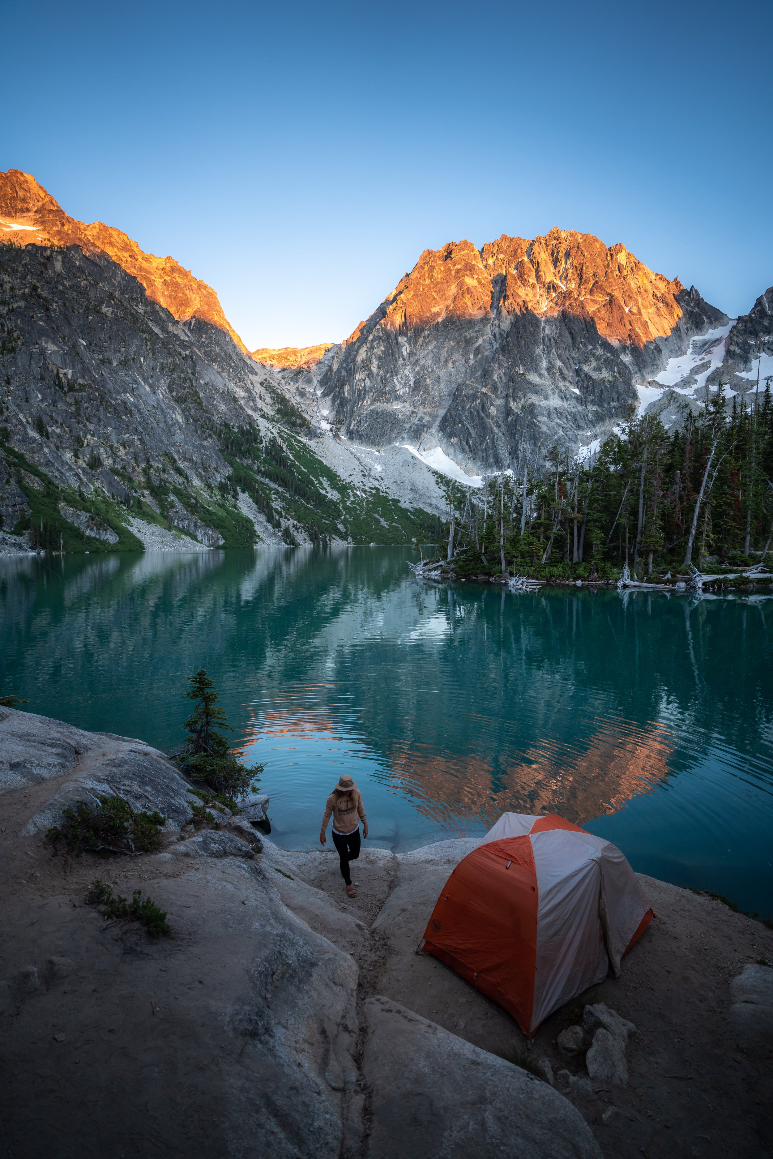
Sheep Lake
Sheep Lake is where we spent our first night, as we were able to find a place to set up on the east side of the lake in the trees.
This photo was taken the next morning at sunrise.

My Print - Sheep Lake
Slide Lake
On our second day, we left Sheep Lake to continue around the basin to Sapphire Lake for our second night, which ended up being about 2.1 miles (3.4 km) in total.
Once we packed up our stuff, we hiked around the north side Sheep Lake and crossed over the 10,000-ft. (3,048 m) mark for just a short while.
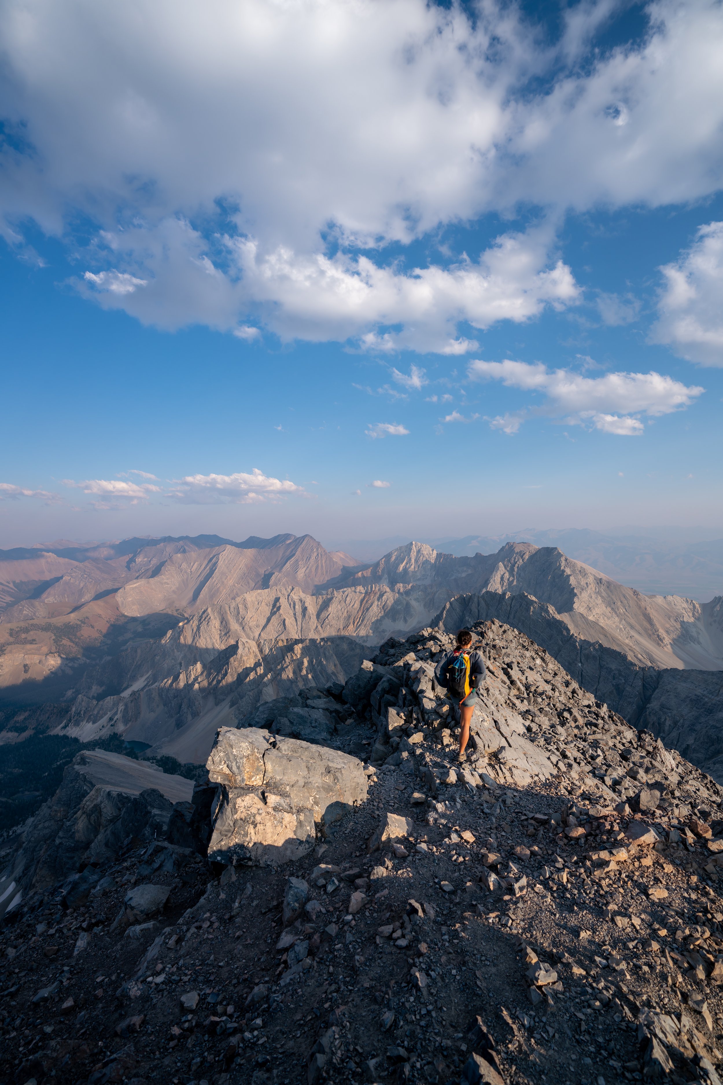
Big Boulder Lakes Saddle
From Slide Lake to the saddle, there was a very defined trail, and the Saddle is a great place to get views of all of the Big Boulder Lakes to try and figure out where you may want to camp next.
Cirque Lake
From the saddle, we never really found the best way down to Cirque Lake, but we just kept winding back and forth until we eventually made it to the flatter area to the east of Cirque Lake.
This part was never too steep, but it could be a bit more challenging if it was still covered in snow, which is why I recommend bringing micro-spikes for an early season adventure.
Sapphire Lake
In my opinion, Sheep, Cirque, and Sapphire Lake were the most beautiful of all the lakes in the basin, and looking back, I wish we had set up for a night at both Cirque and Sapphire.
However, we chose to set up camp on the Sapphire Lake peninsula to give some space from another group.
In any case, Cirque, Sapphire, and Cove Lake seemed to be the three most popular places to fish, as we saw one group that was seemingly dedicating their entire trip to the pristine backcountry fishing in these lakes!
Big Boulder Lakes to Walker Lake
From our campsite along Sapphire Lake, the hike back down to the real trail was roughly 2.4 miles (3.9 km) to get back to Walker Lake, which is then another 0.6 miles (1.0 km) to the beginning and 7.1 miles (11.4 km) to the Big Boulder Creek Trailhead.
This is likely where you’ll want to follow a GPS or topographic map of some sort, so that you don’t wander toward the cliffs above Walker Lake and have to turn back.
That said, the best path back down is to hike toward the area that I have a satellite image of below.
However, toward the bottom of this steep trail down, the trail got a little more confusing. This is why I said earlier that I recommend hiking up to Sheep Lake instead of Cove Lake first because once we were back in the trees, it wasn’t very clear which was the best route to regain the trail at Walker Lake.
In any case, once you’re below the cliffs above Walker Lake, navigating back should be easy enough, as long as you have a map to follow.