Hiking the Union Peak Trail in Crater Lake National Park
Distance: 9.8 miles / 15.8 km
The Union Peak Trail in Crater Lake National Park is a free-standing, remote summit off the Pacific Crest Trail (PCT) in the southern half of the park that ascends a steep granite peak above the vast forests of southern Oregon below.
That said, the vast majority of the hike up Union Peak is through what people in the Pacific Northwest call the 'Green Tunnel.' This means there are no views and very few notable landmarks until the Union Peak Trail nears the base of the towering summit, as the majority of the hike traverses a seemingly never-ending Lodgepole-Hemlock forest.
However, it isn’t the long hike, or even the views at the summit, that make Union Peak so cool, in my opinion, but rather that hikers can see not one, but a number of, lightning strikes at the summit—where lightning quite literally melted the granite into what looks like glass!
For this reason alone, I believe the unpopular Union Peak Trail is worth the effort, even considering that there are no views of Crater Lake from the summit.
Union Peak Trailhead Parking
Parking for the Union Peak Trail is located in a small, hidden parking lot off Crater Lake Highway that serves as the access point for the southern portion of the Pacific Crest Trail through the park.
Before arriving, be aware that, even though Crater Lake Highway does not pass through an entrance station, the Union Peak Trailhead is still considered a U.S. Fee Area. This means that proof of payment must be left in any parked vehicle, or a valid recreation pass must be displayed to park legally.
Google Maps Directions: Union Peak Trailhead
Hiking Checklist - Crater Lake
Here is a complete list of must-have things that you will want for any hike in Crater Lake National Park.
That said, there are Black Bears in Crater Lake National Park, and while carrying bear spray is allowed, encounters with hikers are considerably rare.
Hiking the Union Peak Trail
The Union Peak Trail begins on the Pacific Crest Trail for the first 2.4 miles (3.9 km), until the junction where the two split.
When I mentioned the term 'Green Tunnel' at the beginning of this article, this is exactly what I was referencing—a long, mostly flat trail where the only views to be seen are the forest around you!
That said, the first 3.7 miles (6.0 km) to Union Peak could technically be considered the 'Green Tunnel,' because it isn’t until this point that Union Peak becomes visible for the first time.
Given the fact that there are very few landmarks through the 'Green Tunnel,' it is very difficult to make references in terms of what to look out for.
Instead, there is one hill in particular, prior to the Union Peak junction, that makes for a nice mental indicator that the split is not far ahead.
One hiker I had spoken with mentioned that he encountered a Black Bear on this section of the Pacific Crest Trail, which is to say they are out here, though not as common in Crater Lake National Park as in other U.S. National Parks, like Sequoia and Kings Canyon in the Sierras.
These photos were taken in late July, following an average winter season in the Cascades, and yet there were still a number of snow patches to cross on the hike to Union Peak.
With that in mind, it’s important to plan on encountering more snow in Crater Lake National Park if you visit in mid-July or earlier, with June typically being full winter conditions for much of the month.
It’s always cool to see the different Lupine species across the Mountain West!
If you anticipate a lot more snow in these long shady stretches through the 'Green Tunnel,' consider bringing trekking poles and micro-spikes, which can make the approach easier.
This gradual hill is about as steep as the PCT portion of the Union Peak Trail gets.
When the Pacific Crest Trail starts climbing this hill, with the uphill side on the right-hand side of the path, it’s a great sign that the Union Peak junction is not far ahead!
Union Peak-Pacific Crest (PCT) Junction
After roughly 2.4 miles (3.9 km) of hiking south on the PCT, the true Union Peak Trail branches off to the southwest.
From here, the trail continues on a relatively flat path, only beginning to climb more significantly as it approaches the base of Union Peak.
All that to say, go right at this split to begin the Union Peak Trail.
After the Union Peak junction, it’s important to keep in mind that the peak itself won’t become visible for another 1.3 miles (2.1 km).
It isn’t really until the very last section, where the Union Peak Trail begins a very short but steep ascent to the remote summit.
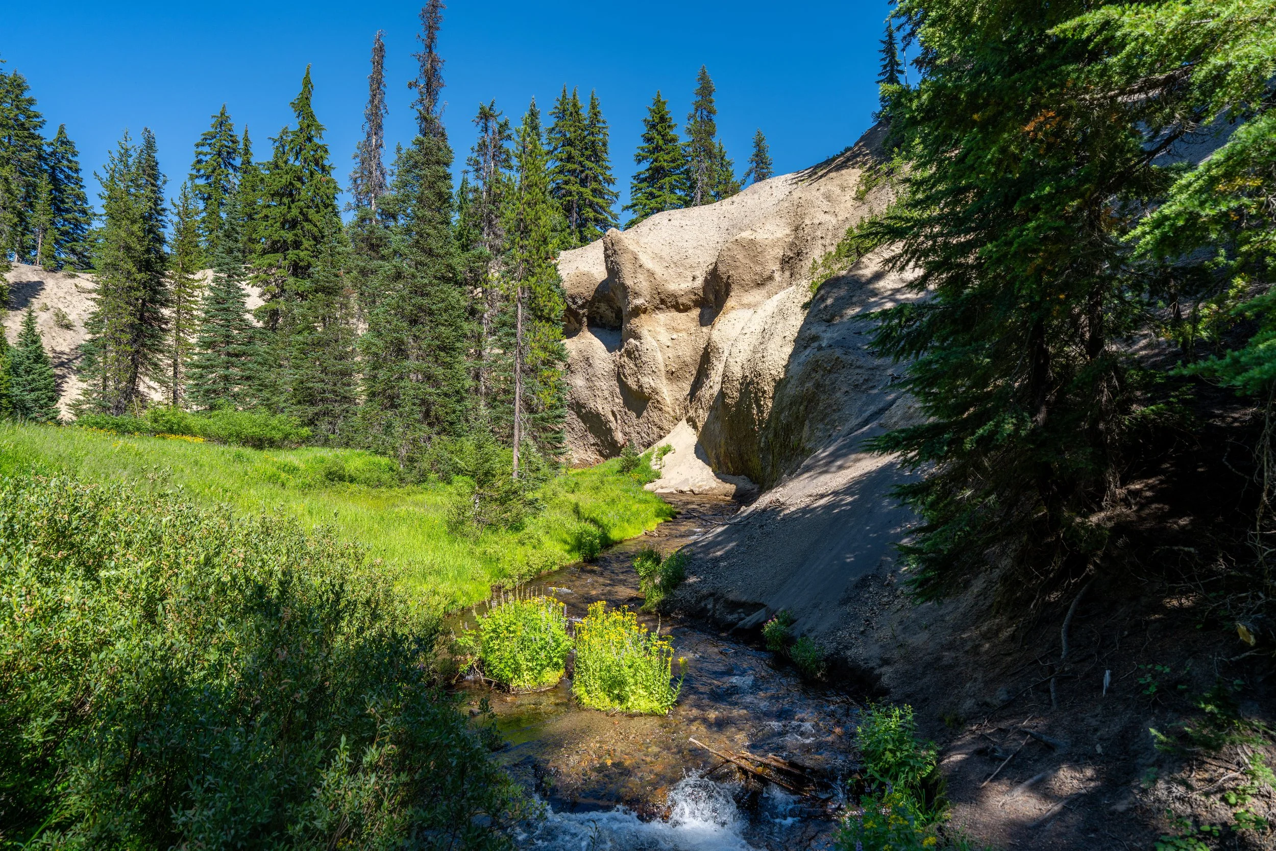
Something that can’t be said about the Pacific Crest Trail, compared to the Union Peak Trail, is that there are a number of notable pumice fields along the way to the peak.
This is what is shown here, which are areas where the soil is very nutrient-poor, meaning vegetation doesn’t grow as well.
On account of that, these pumice fields make for good mental checkpoints—especially considering the rest of the hike has no views!
Compared to the first 2.4 miles (3.9 km) of the Pacific Crest Trail, the Union Peak Trail is not nearly as flat—especially over the last 0.5 miles (0.8 km) to the base of the peak.
This is another example of a volcanic pumice field, which can be seen and learned about more in-depth at the Pumice Desert—a quick pull-off between the north entrance and Rim Drive that circles Crater Lake.
With about 1.2 miles (1.9 km) left to reach the summit, Union Peak becomes visible for the first time through the trees!
If, at this point, the weather or risk of a thunderstorm doesn’t look good, don’t climb any higher!
It’s absolutely better to call off the adventure below Union Peak than to climb higher and be exposed on or near the summit.
From this point to the summit, the Union Peak Trail climbs about 650 ft. (198 m) in just the last 0.7 miles (1.1 km), with most of that gain coming in the final 0.3 miles (0.5 km).
When the Union Peak Trail reaches the base of the mountain, it heads directly toward the south side of the peak before switching back to the east side, where a number of short, steep switchbacks wind their way up to the summit.
Even open scree fields like this are not the place you want to be if there is lightning overhead—which is to say, take the risk of afternoon thunderstorms across the Mountain West seriously!
This is the view looking directly toward the summit from the south side of Union Peak.
When the Union Peak Trail switches back to the north, the trail will continue up the same gradual incline for another 0.2 miles (0.3 km) to the point where the hike becomes significantly steeper than anything experienced thus far.
This is where the Union Peak Trail turns the corner to begin climbing the east side of the mountain.
From this lowest switchback, there is only 0.3 miles (0.5 km) to the summit of Union Peak.
However, it is in these final 0.3 miles (0.5 km) that the steepest, most challenging parts of the trail are found, which is something to keep in mind, as some moderate scrambling is required to summit Union Peak.
This is the view looking east toward the Pacific Crest Trail—the same direction hiked to reach this point.
In total, there are somewhere between 25 - 30 very short, tight switchbacks, depending on how you count, to reach the summit of Union Peak.
That said, some of these switchbacks are very short—ranging from just a few steps to something a little longer.
About a third of the way up the steep switchbacks, the Union Peak Trail starts to become fairly narrow, with one section in particular posing the highest risk just a short distance up the trail.
This short scramble is as steep as the Union Peak Trail ever gets.
After the scramble, the Union Peak Trail traverses a fairly narrow ledge, which would easily be a bit more technical and dangerous if there were snow on the summit.
That said, I highly recommend carrying micro-spikes for an early summer season ascent—especially if the snow is melting during the day and freezing again overnight.
To this point, a winter climb up Union Peak would absolutely require more technical gear, including crampons and an ice axe to stay safe, but that’s really not the purpose of this post in summer conditions.
After the short series of narrow ledges, the Union Peak Trail continues up a number of steep switchbacks that are, for the most part, much less exposed in comparison.
In all, there’s truly not a lot of distance covered in these detailed photos up Union Peak, but I wanted to share as much as possible, to hopefully help with planning one of the park’s least-climbed summits.
Some hikers may prefer to carry trekking poles for these very steep sections on the east side of the mountain.
This is the view looking up toward the summit of Union Peak!
These are the final few switchbacks that lead to the summit!
Union Peak
This is the summit of Union Peak, which, according to the National Park Service, stands at 7,703 ft. (2,348 m), or about 1,226 ft. (374 m) below Mt. Scott, the tallest peak in Crater Lake National Park.
On a different note, the name Union Peak is a Civil War–era name that was widely seen as patriotic during this time, when a few gold prospectors made the first documented climb up Union Peak.
Needless to say, the name stuck, and it is why many places all across the U.S. carry the name Union, like Union Point on the Four Mile Trail in Yosemite National Park.
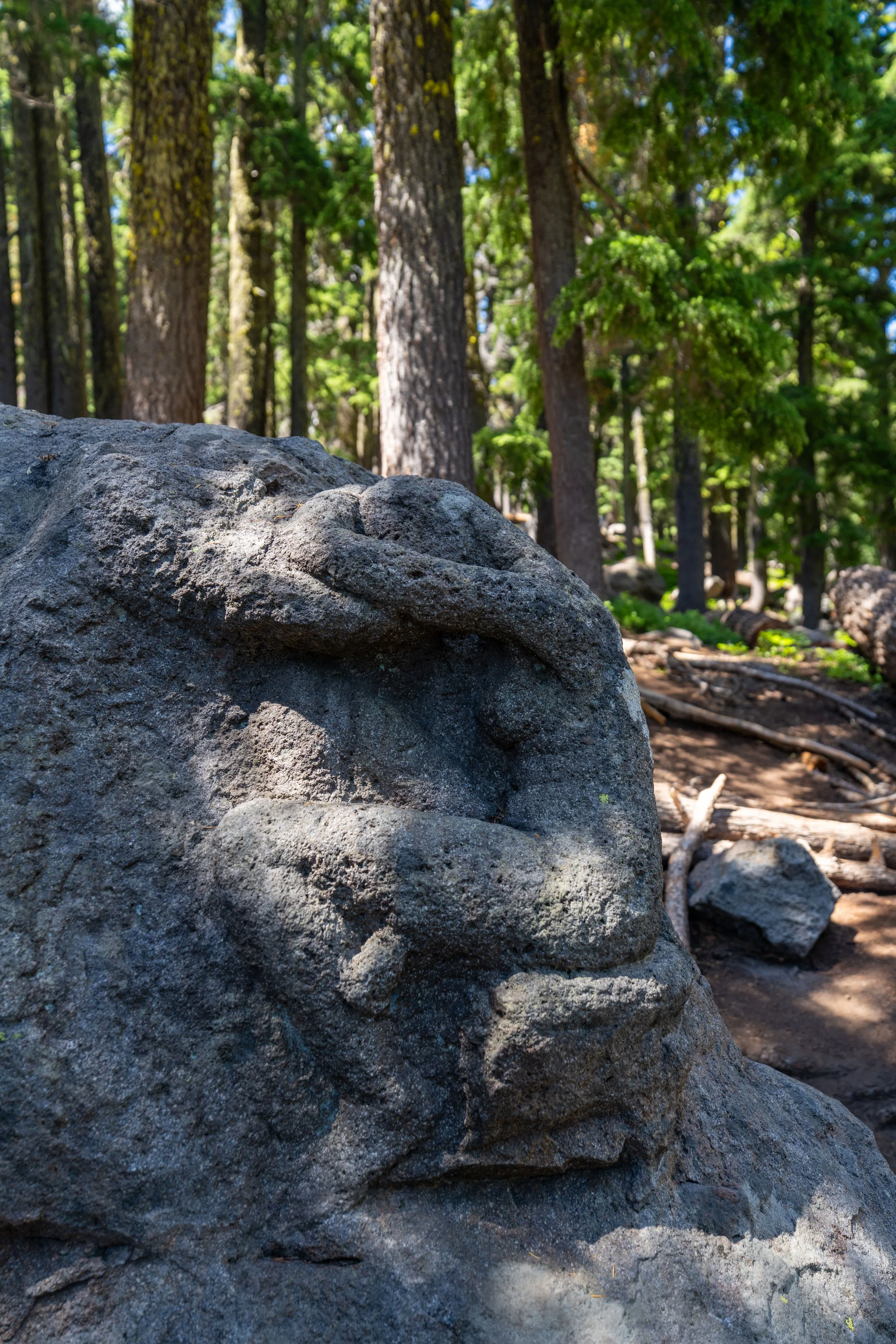
There are three things to note about this photo.
The first is that this is the summit rock on Union Peak. But, what I find even more interesting is that, on the flat south face of the rock, a number of lightning strikes can be seen if you look closely!
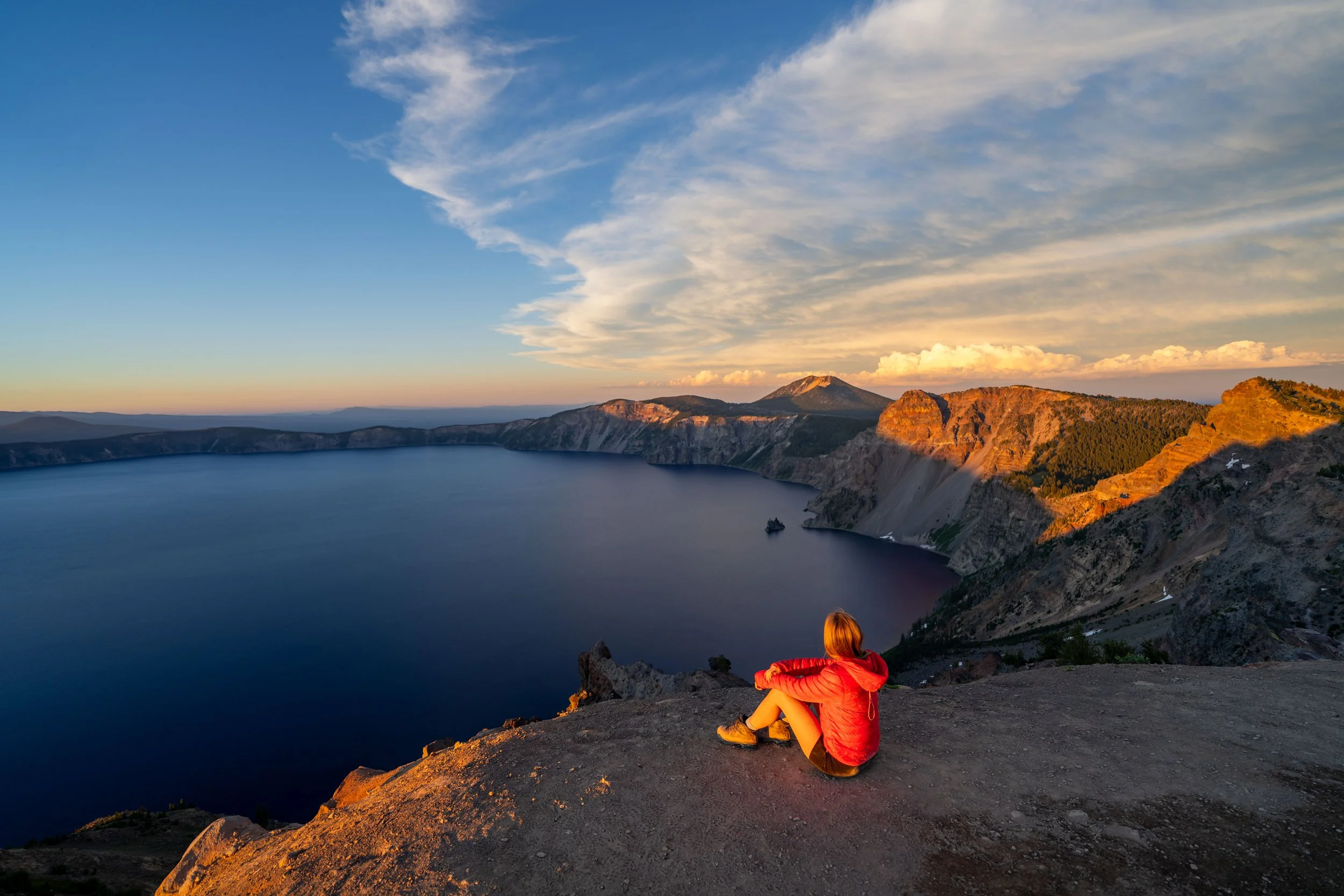
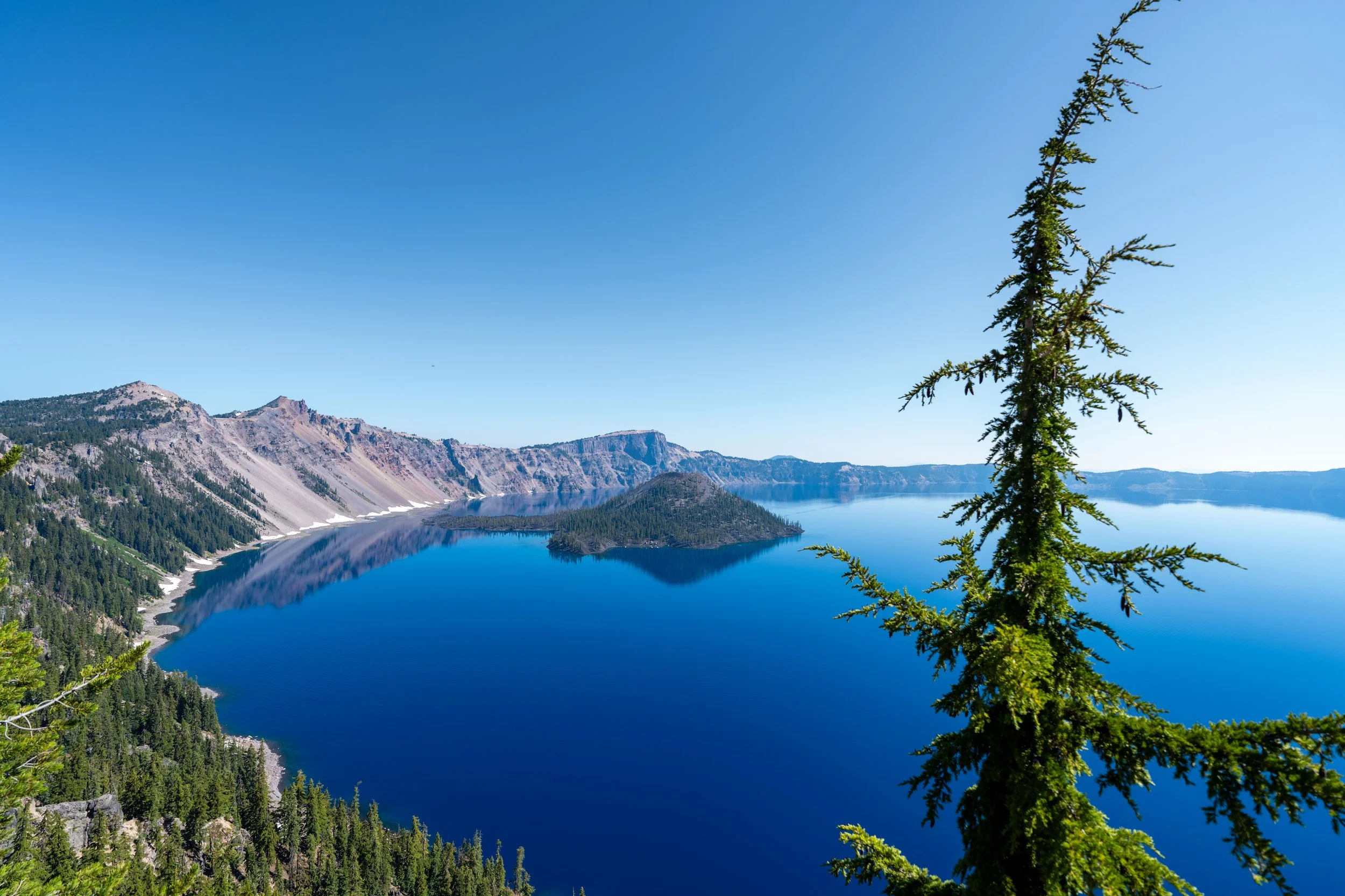
Apart from this rock, the third notable thing to mention about this photo is that it’s taken in the direction of Crater Lake, where the caldera rim can be seen in the distance.
Some notable peaks include Mt. Scott on the right-hand side, Garfield Peak toward the center of the caldera, and the Watchman on the left.
However, Crater Lake itself is not visible from the summit of Union Peak.
These are some of the lightning strikes on the summit of Union Peak that look a lot like melted glass!
That said, I hope this shows just how dangerous lightning can be and why being anywhere this exposed is not a great scenario during a thunderstorm.
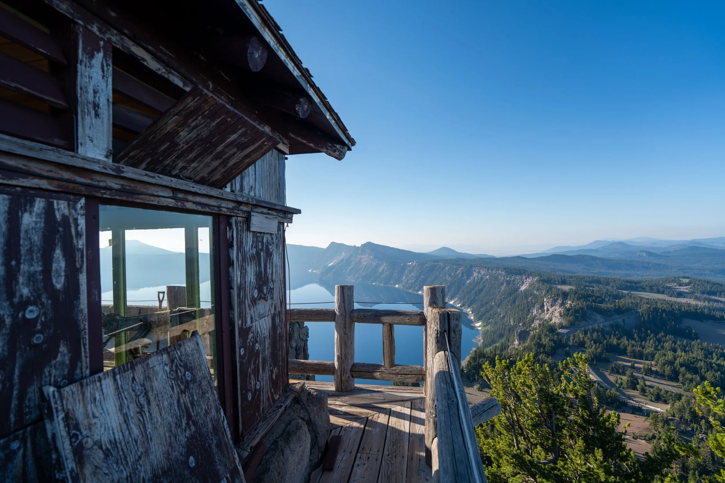
This is why I highly recommend checking Mountain Forecast before making the long out-and-back journey to Union Peak.
Mountain Forecast: Union Peak