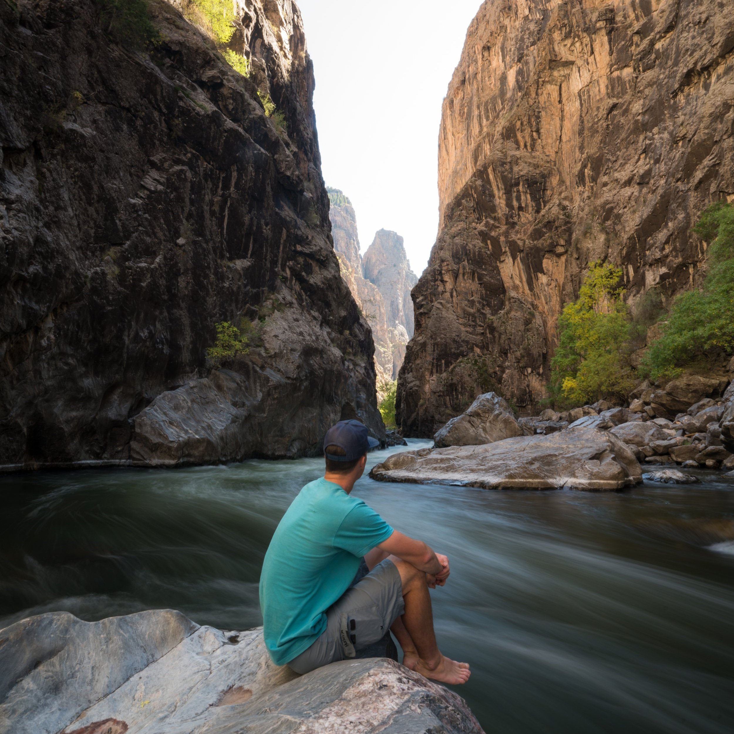
Hiking the Warner Point Nature Trail in Black Canyon of the Gunnison National Park
Distance: 1.6 miles / 2.6 km
The Warner Point Nature Trail in Black Canyon of the Gunnison National Park is an interpretive trail on the South Rim, named after Mark Warner, a minister in nearby Montrose who was instrumental in the canyon’s preservation as we know it.
Today, the Warner Point Nature Trail is best enjoyed for its beautiful panoramic views at the Warner Point Overlook, and by following along with the trail guide, which can be found at the trailhead or downloaded using the link below.
Warner Point Nature Trailhead Parking
Parking for the Warner Point Nature Trail is located at High Point, at the very far end of South Rim Road, about 6.0 miles (9.7 km) west of the South Rim Visitor Center.
The parking lot serves as a joint trailhead for not one, but three different trails that all begin at High Point, meaning the parking lot can be busy during the mid-summer travel season.
Google Maps Directions: High Point Trailhead
Hiking Checklist - Black Canyon
Black bears are known to be found everywhere from the plateaus along the canyon rim to the steep routes that lead down to the Gunnison River, and everywhere in between.
That being said, here is a complete list of must-have things that you will want for any hike in Black Canyon of the Gunnison National Park.
Hiking the Warner Point Nature Trail
The Warner Point Trail begins at the far end of the High Point parking lot, following a mildly hilly trail with very little overall elevation change from the trailhead to the overlook.
These markers placed along the trail are intended to be used with the Warner Point Nature Trail guide.
However, if trail guides aren’t readily available at the trailhead, you can follow along with the electronic version using the link below.
Download: Warner Point Nature Trail Guide
Sections like this are among the 'steepest' that the Warner Point Trail gets.
I mention this because the entire trail to Warner Point sits well above 8,000 ft. (2,438 m), meaning that some out-of-state visitors may have difficulties hiking at this elevation.
Warner Point-Warner Route Junction
This is where the Warner Point Nature Trail splits away from the Warner Route Trail, which is one of seven main routes that descend steeply into Black Canyon.
That being said, wilderness permits are required to hike down the Warner Route Trail or any route into Black Canyon, which is mostly due to safety and accountability concerns, given the steep trail’s inherent risks and difficulty.
In any case, go right at this split to continue to the Warner Point Overlook, about 0.1 miles (0.2 km) away.
Read My Separate Post: Warner Route Trail
Warner Point
After 0.8 miles (1.3 km), the trail ends at Warner Point, an east-facing overlook standing roughly 2,600 ft. (792 m) above the Gunnison River below.
That being said, the Warner Point Overlook can make for a great South Rim sunrise hike, as it’s one of the few east-facing trails outside of the easy overlooks, which can be accessed with just a short walk from the road.


