Hiking the East Portal Trail in Black Canyon of the Gunnison National Park
Distance (Roundtrip): 0.8 miles / 1.3 km
The East Portal Trail in Black Canyon of the Gunnison National Park is the only trail along the Gunnison River that is accessible by way of driving.
By this, I mean that normally, hikers pick one of seven challenging and steep routes that descend from the canyon rim to the Gunnison River, but the East Portal off of South Rim Road is the one exception to this.
That being said, visitors who choose to make the drive down to East Portal have the unique opportunity to see Black Canyon from an entirely new perspective—one that is most often frequented by fishermen and hikers like myself.
This is all to say that whether you’re looking to fish, hike the East Portal Trail, or even spend the night in the East Portal Campground, simply making the drive to the bottom of the canyon is worth the trip alone!
East Portal Trailhead Parking
The East Portal Trailhead is located at the very bottom of the long and windy East Portal Road, about 5.5 miles (8.9 km) past the turn immediately following the Black Canyon entrance station.
With that in mind, East Portal Road descends about 1,900 ft. (579 m) over this short distance, which is why it’s important to drive in a low gear and only when the road is snow-free.
Google Maps Directions: East Portal Trailhead
Hiking Checklist - Black Canyon
Black bears are known to be found everywhere from the plateaus along the canyon rim to the steep routes that lead down to the Gunnison River, and everywhere in between.
That being said, here is a complete list of must-have things that you will want for any hike in Black Canyon of the Gunnison National Park.
Hiking the East Portal Trail
The East Portal Trail begins just downstream of the parking area and campground, following a mostly flat section along the Gunnison River for only 0.4 miles (0.6 km).
This USGS stream gage is exactly what the National Park Service uses to determine the cubic feet per second on the Gunnison River in order to safely issue wilderness permits for any one of the seven steep routes that hikers typically use to reach the bottom of Black Canyon.
Unfortunately, this cable bridge is not open to the public, meaning that fishermen typically only reach the north side of the river late in the season, when the water levels have significantly subsided from their peak in the late spring and early summer.
Poison Ivy is truly just a way of life along the Gunnison River, and often, the National Park Service recommends wearing hiking pants in order to prevent direct skin contact.
This is all to say: learn how to identify it if you plan to hike East Portal or any of the seven routes from the rim to the river.
As the East Portal Trail nears its end, it passes through some rocky areas that are less of a trail in the traditional sense.
It is in these sections that Poison Ivy is typically very abundant.
Deadhorse Gulch
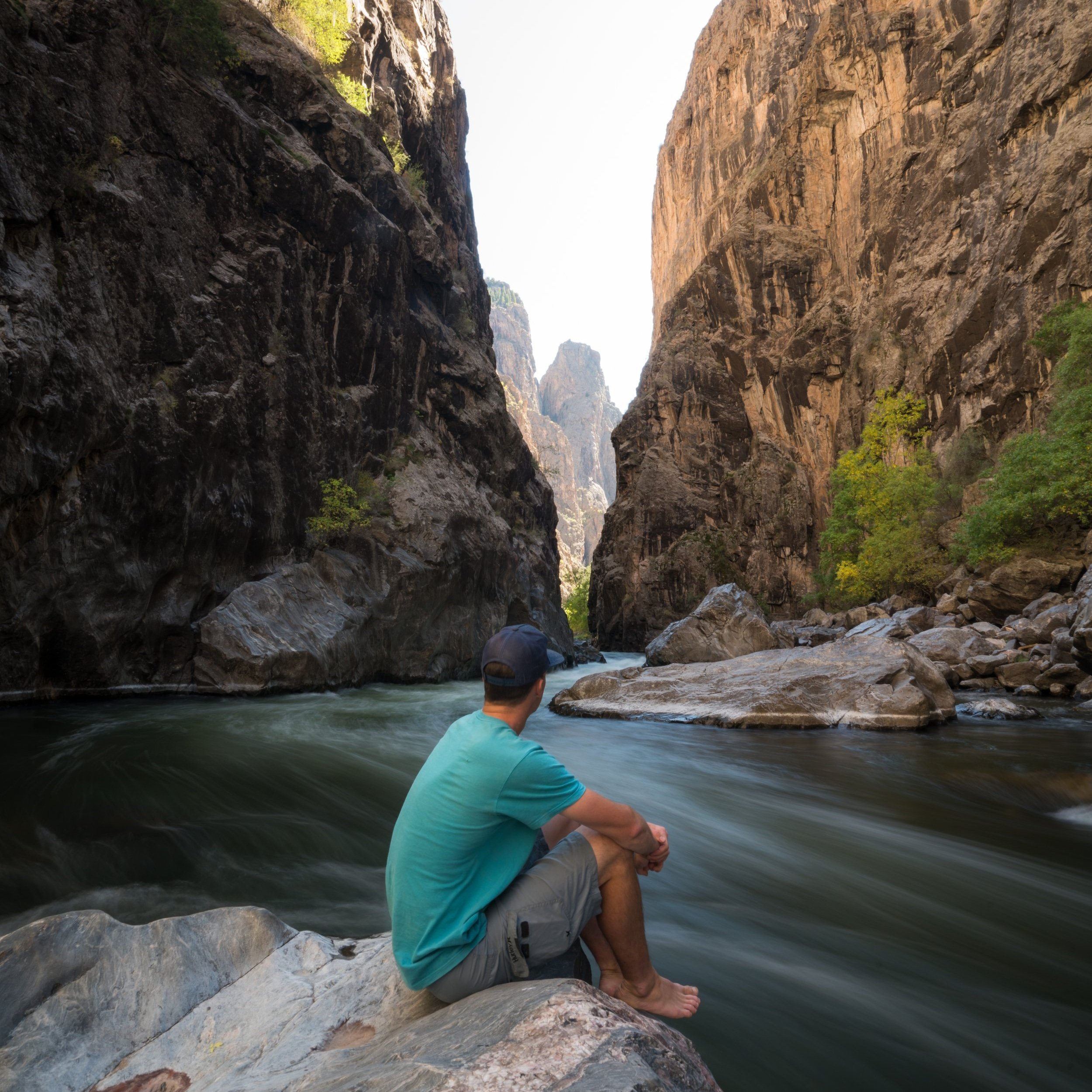
After just 0.4 miles (0.6 km), the East Portal Trail ends at the mouth of Deadhorse Gulch, located across the river, directly below the Deadhorse Overlook.
This is the same Deadhorse Gulch for which the Deadhorse Trail is named, on the North Rim of Black Canyon.
That said, I recommend against hiking further, as this photo was taken during the later summer season with considerably low water levels, and it would still have been difficult to proceed further downstream.
I can only imagine how much more dangerous attempting this would be earlier in the season!


