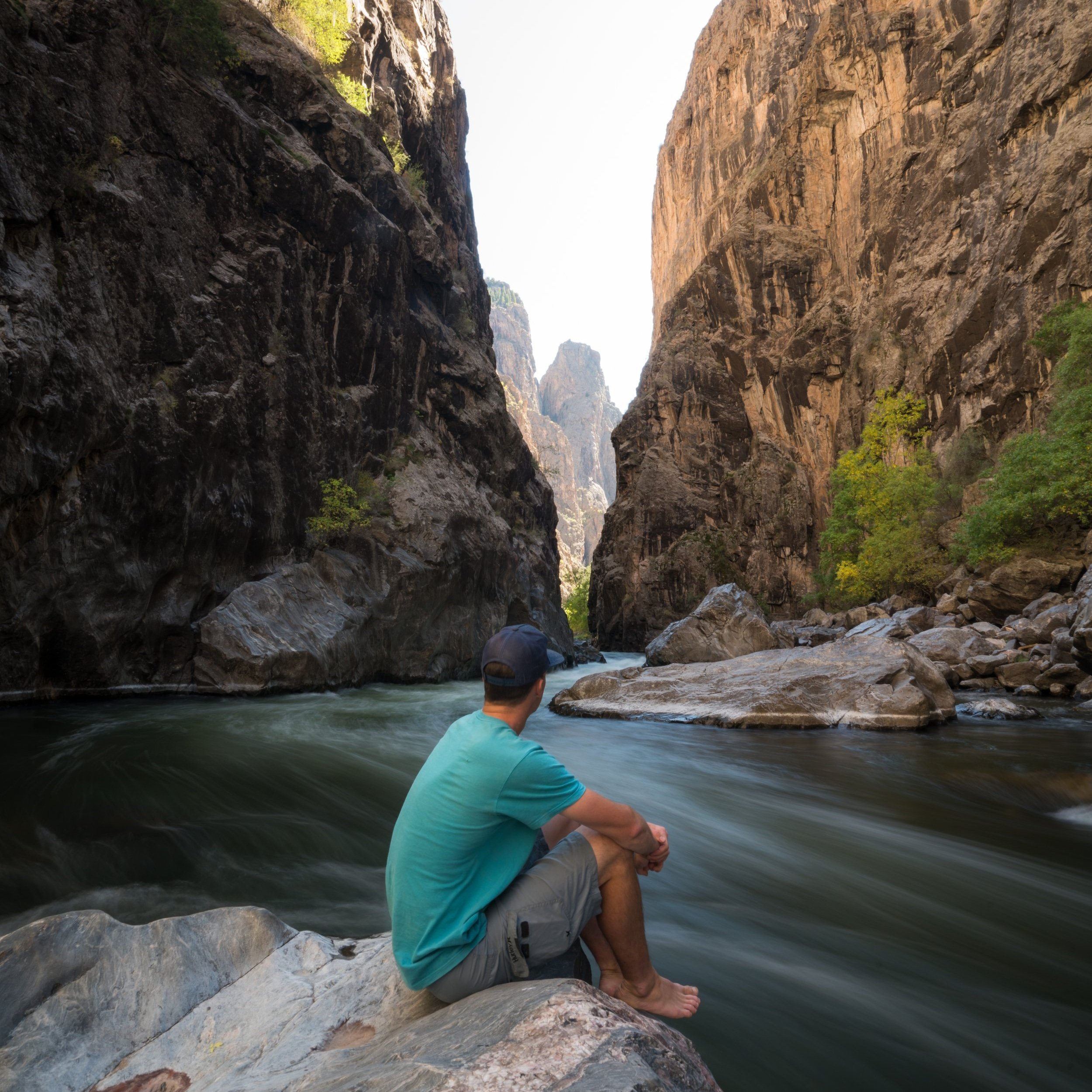
Hiking the Oak Flat Loop Trail in Black Canyon of the Gunnison National Park
Distance: 1.4 miles / 2.3 km
The Oak Flat Loop Trail in Black Canyon of the Gunnison National Park is a fairly easy and often overlooked adventure compared to others on the South Rim of the canyon.
That being said, the 1.4-mile (2.3 km) loop can be a great place to look for wildlife, including Black Bears, as the trail gets its name from all the Gambel Oak along the trail, a small deciduous tree that grows here and throughout the park, which bears and other wildlife love to eat—especially as the months get colder in the fall!
Oak Flat Loop Trailhead Parking
Parking for the Oak Flat Loop Trail is located at the South Rim Visitor Center, which can be one of the busiest trailheads during the summer travel season.
I say this because the parking area not only serves the visitor center and Oak Flat Loop Trail, but it’s also the trailhead for the Rim Rock-Uplands Loop, as well as the Gunnison Route into Black Canyon.
Google Maps Directions: South Rim Visitor Center
Hiking Checklist - Black Canyon
Black bears are known to be found everywhere from the plateaus along the canyon rim to the steep routes that lead down to the Gunnison River, and everywhere in between.
That being said, here is a complete list of must-have things that you will want for any hike in Black Canyon of the Gunnison National Park.
Hiking the Oak Flat Loop Trail
The Oak Flat Loop Trail begins on the far, canyon side of the South Rim Visitor Center.
This is where the Oak Flat Loop Trail leaves the visitor center on the west side.
Oak Flat Loop-Gunnison Point Overlook Junction
At the split immediately after the South Rim Visitor Center, go left to begin the Oak Flat Loop, as the trail to the right simply leads down to the Gunnison Point Overlook.
Oak Flat Loop Trail
This is where the Oak Flat Trail splits into the 1.2-mile (1.9 km) loop along the canyon rim.
Personally, I chose to go right on the lower half first because the descent is shorter and steeper, compared to the much more gradual climb back up on the west side of the loop.
Shortly after starting the lower half, the Oak Flat Loop Trail descends roughly 8 or 9 switchbacks, depending on how you count, to the plateau below the upper rim.
These Aspen trees, along with the Gambel Oak, are what really make Black Canyon beautiful in the fall!
Oak Flat Loop-Gunnison Route Junction
The bottom of the switchbacks is where the Oak Flat Loop Trail separates from the Gunnison Route, descending steeply from this point to reach the Gunnison River.
That being said, permits are required to hike down the Gunnison Route Trail or any of the seven routes into Black Canyon, which is mostly due to safety and accountability concerns, given the steep trail’s inherent risks and difficulty.
In any case, go left at this split to begin hiking along the lowermost portions of the Oak Flat Loop Trail.
Since Gambel Oak is such a small, shrubby tree, I was happy to be hiking in one of my hooded sun shirts, which is very useful for this and many other trails throughout Black Canyon.
This is where the Oak Flat Loop begins to climb back up the first of 5 switchbacks on the far west side of the trail.
Oak Flat Climbing Wall
At about 0.6 miles (1.0 km), the Oak Flat Loop Trail comes to this beautiful climbing wall, with the trail passing directly above and below the best routes!
After the climbing wall, the Oak Flat Loop continues to ascend back up the roughly 300 ft. (91.4 m) of elevation lost since beginning the trail at the South Rim Visitor Center.
Don’t forget to look out for all the wildflowers, which are fairly common throughout the spring and summer seasons in Black Canyon!
This is when the South Rim Visitor Center becomes visible once again after climbing the switchbacks back to the upper plateau.
This is where the climbing wall meets the upper half of the Oak Flat Loop Trail.
Oak Flat Loop-Uplands Junction
As the trail nears the end, the Oak Flat Loop meets the junction with the Uplands Trail, which traverses the Gambel Oak plateaus of Black Canyon from here to the South Rim Campground and on to the Rim Rock Trail.
That being said, the Uplands Trail is most commonly combined with the Rim Rock Trail to create a 1.9-mile (3.1 km) loop between the two, but I recommend hiking that adventure in the evening rather than midday, as I did when exploring the Oak Flat Loop.
In any case, go straight (left) To finish the Oak Flat Loop Trail, located roughly 0.1 miles (0.2 km) away.
Read My Separate Post: Rim Rock-Uplands Loop Trail
Oak Flat Loop Junction
Finally, the 1.2-mile (1.9 km) Oak Flat Loop Trail returns to the beginning.
Here, go right to return to the South Rim Visitor Center, about 0.1 miles (0.2 km) away.


