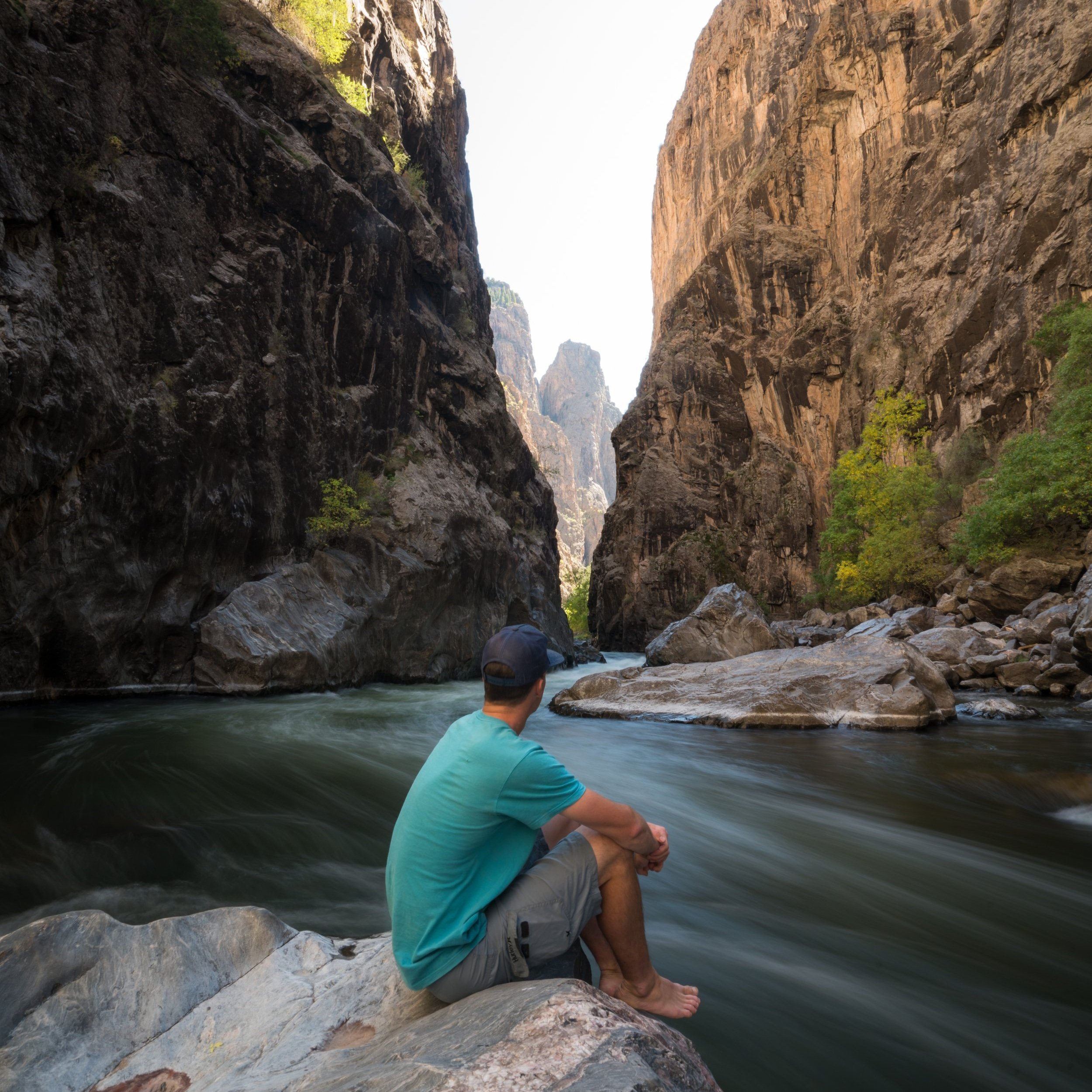
Hiking the Rock Point Trail in Black Canyon of the Gunnison National Park
Distance: 0.4 miles / 0.6 km
The Rock Point Trail in Black Canyon of the Gunnison National Park is a personal favorite of mine because it is the best viewpoint on the South Rim to see The Narrows and appreciate what hiking from the rim to the river truly takes!
By this, I mean that Rock Point on the South Rim sits directly across from Long Draw on the North Rim, which is one of the seven steep gullies in Black Canyon that descend from the rim to the Gunnison River.
That being said, the Rock Point Trail is a fairly easy, straightforward hike, ending with a beautiful northwest-facing view between Devil’s Lookout to the north and the Big Island to the south.
Rock Point Trailhead Parking
The Rock Point Trailhead parking area is located directly alongside South Rim Road, about 2.6 miles (4.2 km) west of the South Rim Visitor Center and 3.4 miles (5.5 km) before High Point at the end of the road.
Google Maps Directions: Rock Point Trailhead
Hiking Checklist - Black Canyon
Black bears are known to be found everywhere from the plateaus along the canyon rim to the steep routes that lead down to the Gunnison River, and everywhere in between.
That being said, here is a complete list of must-have things that you will want for any hike in Black Canyon of the Gunnison National Park.
Hiking the Rock Point Trail
The Rock Point Trail follows a mostly flat, straightforward path out to the viewpoint above Black Canyon and The Narrows.
Rock Point
After just 0.2 miles (0.3 km), the trail ends at Rock Point, a towering viewpoint above Echo Canyon to the right, and Long Draw directly across the Gunnison River.
Long Draw is the long, shaded gully across the canyon in the photo below.
That being said, Rock Point sits roughly 1,700 ft. (518 m) above the Gunnison River, which is only a little higher than Long Draw Trailhead, allowing for a unique perspective on just how much effort is required to undertake this kind of short but steep 0.6-mile (1.0 km) adventure!
This is all to say: don’t throw rocks from this or any viewpoint in Black Canyon, as you should always assume that hikers and climbers may be beneath you.


