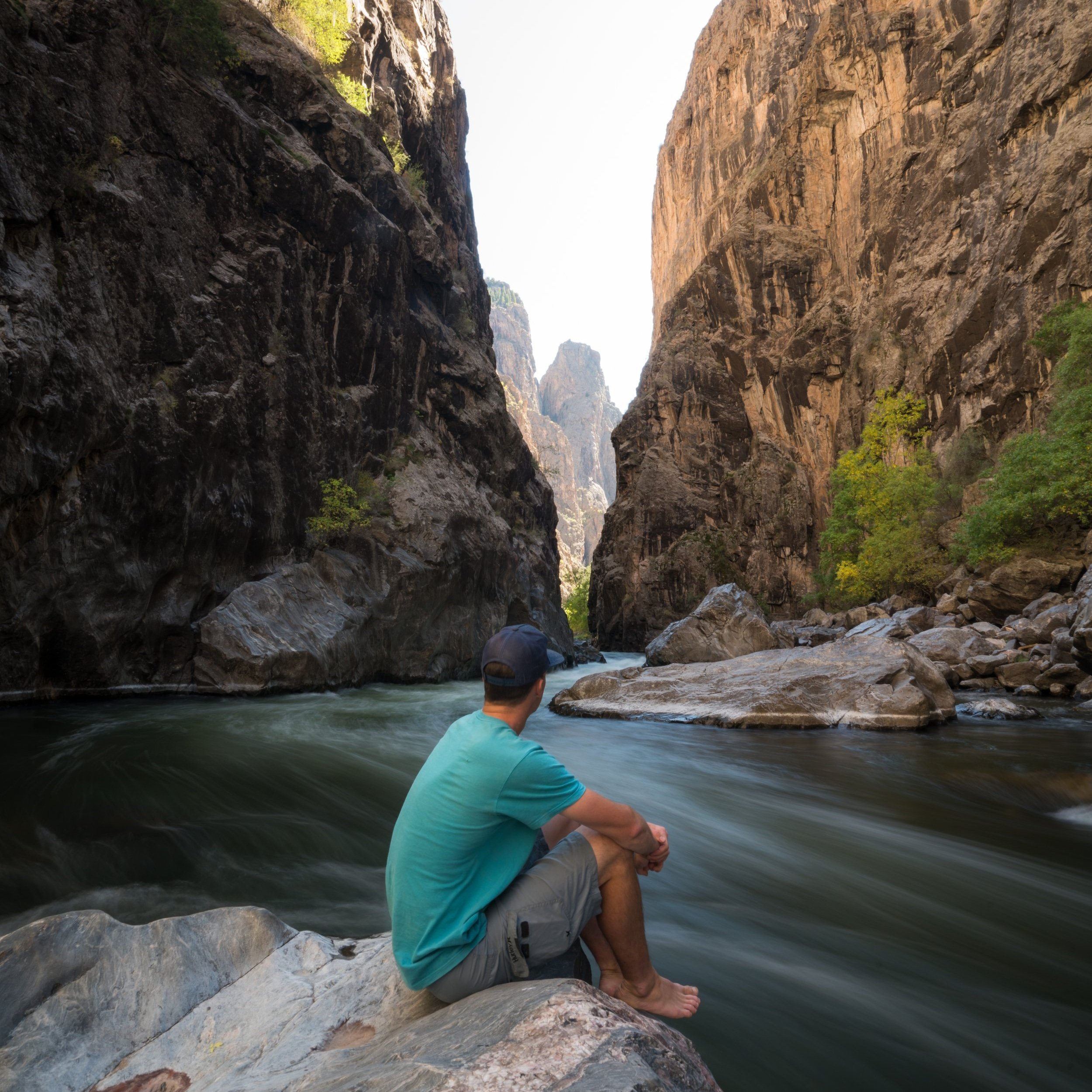
Hiking the Devil’s Lookout Trail in Black Canyon of the Gunnison National Park
Distance: 0.5 miles / 0.8 km
Elevation Change: ~100 ft. (30.5 m)
Between Dragon Point, Rock Point, and Devil’s Lookout on the South Rim in Black Canyon of the Gunnison National Park, Devil’s Lookout is the longest of the three and the trail with the most elevation change.
That being said, the Devil’s Lookout Trail is not a difficult adventure by any means; however, for those visiting Black Canyon from out of state, even mild adventures can be challenging at these upper elevations, which begin at just under 8,000 ft. (2,438 m) at the Devil’s Lookout Trailhead.
Devil’s Lookout Trailhead Parking
The Devil’s Lookout Trailhead parking area is located directly alongside South Rim Road, about 2.7 miles (4.3 km) west of the South Rim Visitor Center and 3.3 miles (5.3 km) before High Point at the end of the road.
Google Maps Directions: Devil’s Lookout Trailhead
Hiking Checklist - Black Canyon
Black bears are known to be found everywhere from the plateaus along the canyon rim to the steep routes that lead down to the Gunnison River, and everywhere in between.
That being said, here is a complete list of must-have things that you will want for any hike in Black Canyon of the Gunnison National Park.
Hiking the Devil’s Lookout Trail
For the first half of the Devil’s Lookout hike, the trail follows a mostly flat, easy path but then descends and climbs back up one mild hill before reaching the lookout at the very end.
This is where the Devil’s Lookout Trail begins descending and subsequently climbing back up to the overlook on the far side.
Just before the main Devil’s Lookout, the trail splits into two separate overlooks.
That being said, both viewpoints can be some of the better places along South Rim Road to catch sunrise on a clear day!
However, I always like to recommend Tomichi Point along the Rim Rock Trail first and foremost, as it, along with many other unnamed viewpoints on the trail, is among the best and most direct east-facing views in Black Canyon of the Gunnison National Park.
Devil’s Lookout
Unlike Dragon and Rock Point, Devil’s Lookout sits above a very remote stretch of the Gunnison River that is typically accessed only by climbers, as there isn’t one of the seven main routes to the bottom of the canyon along this river corridor.
Regardless, don’t throw rocks from this or any viewpoint in Black Canyon, as you should always assume that hikers and climbers may be beneath you, whether you’re near one of the seven routes or not.


